Right now
Right now as of Oct 29, 2026
- Permit No permit needed. Entry fee: $3 per vehicle per day.
Status note (Oct 29, 2026): Open: on October 29, 2026, the Forest Service page showed 'Site Open' and only a general prohibitions alert. What the status labels mean
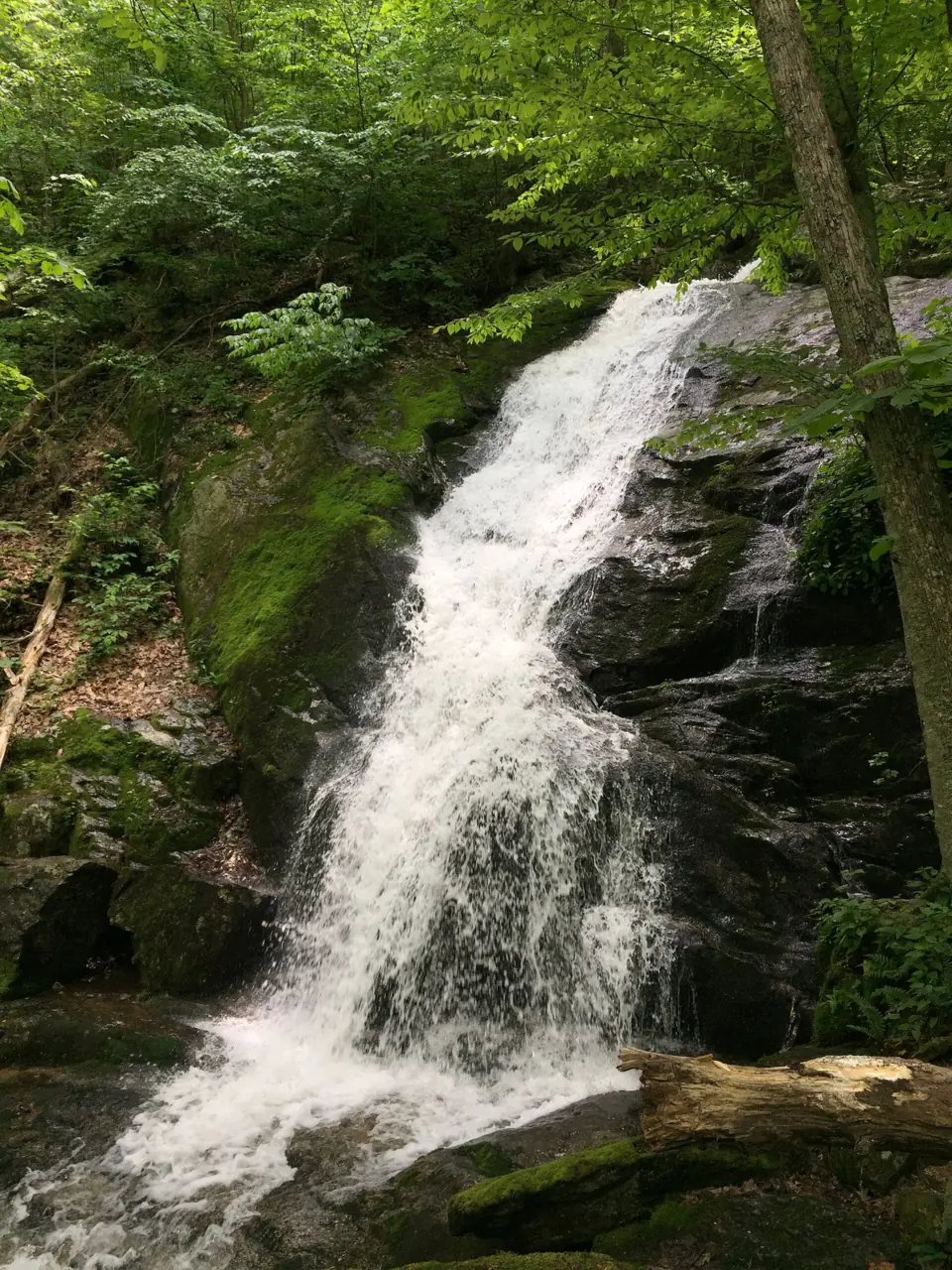
Crabtree Falls is a chain of cascades on Crabtree Creek in George Washington National Forest, in Nelson County, Virginia. It is often promoted as a 1,200-foot drop, though Wikipedia says topographic maps suggest about 1,000 feet. A short paved path reaches the first overlook. On October 29, 2026, the Forest Service page showed the site as open. Hours are sunrise to sunset, and the fee is $3 per vehicle. It warns that leaving the trail has caused numerous deaths.
About Crabtree Falls
Crabtree Falls is a series of five major cascades plus smaller ones, spread over about 2,500 feet horizontally, according to Wikipedia. Crabtree Creek flows on to the Tye River. The land became part of the National Forest System on June 3, 1968, after resort development was proposed there.
The height depends on who you ask. The figure usually cited, including by the Nelson County tourism site, is about 1,200 feet in total. The Forest Service also gives 1,200 feet across 5 major cascades. Tourism promotion also calls it the 'highest vertical-drop waterfall east of the Mississippi.'
The 1,200-foot figure is contested. Wikipedia says topographic maps put the total drop closer to 1,000 feet, and that the tallest single cascade is about 400 feet. We list 1,200 feet as the commonly cited figure, not a measured one.
The name is thought to come from William Crabtree, who settled the area in 1777, Wikipedia says. This page covers the Virginia Crabtree Falls. A different Crabtree Falls is on the Blue Ridge Parkway in North Carolina, so make sure your directions point to Nelson County, Virginia.
Getting there and parking
The trailhead is the Crabtree Falls Day Use Area on VA Route 56, also called Crabtree Falls Highway. Addresses differ by source. Nelson County tourism lists 11581 Crabtree Falls Hwy, Montebello, while Virginia DWR lists 10636 Crabtree Falls Hwy, Tyro, VA 22976.
From I-81, the Forest Service says to take exit 205 (Raphine/Steeles Tavern) to SR 606, then US 11 north, then SR 56. Follow SR 56 for 2 miles to Vesuvius, then 6 miles up the mountain and under the Blue Ridge Parkway. Continue 6 to 8 miles more, and the entrance is on the right.
The Forest Service lists a day-use fee of $3 per vehicle per day. America the Beautiful passes are accepted, and the George Washington and Jefferson National Forests Seasonal Day Use Pass also covers it.
Pay by credit card at the fee machine, or by cash or check in the fee tube, the Forest Service says. The Virginia State Parks pass doesn't apply on the national forest. The Forest Service page, last updated in April 2025, doesn't say which year the $3 rate applies to, so confirm it before you go.
Virginia DWR lists on-site parking. The Forest Service lists vault toilets and picnic tables but no potable water, so bring your own. The Glenwood-Pedlar Ranger District manages the area, and its phone number is 540-291-2188. Call ahead to confirm the fee or trail conditions.
See our waterfalls in Virginia guide to compare Crabtree Falls with Dark Hollow Falls and Great Falls.
Map and nearby falls
Map loads as you scroll. Open in OpenStreetMap
OpenPartly open / seasonalUnconfirmedClosedLarger map
The walk
The first overlook at Crabtree Falls is the easiest to reach. A short, paved path from the parking area leads to it, and the Forest Service describes the path as universally accessible.
Above the first overlook, sources describe the trail differently. The Forest Service calls it a 'moderate 2.7 mile trail,' but the Forest Service page does not say whether that is one way. Nelson County tourism says the main trail is about 3 miles round trip and strenuous. The Forest Service page describes views of '5 major cascades falling a total distance of 1,200 feet.'
Nelson County tourism describes the trail as steep and rocky, with roots, and says it has several designated overlooks. We could not confirm the elevation gain or a typical hiking time from an official source.
Dogs are allowed, but the Forest Service says pets must be leashed at all times. The leash can be no longer than 6 feet, and your pet must stay under physical control.
When to visit
The Forest Service lists the Crabtree Falls Day Use Area as open year-round, from sunrise to sunset, for day use only. We found no official guidance on the best months to visit or on crowd levels.
We found no official 2025 or 2026 closure. On October 29, 2026, the Forest Service page showed 'Site Open,' and its only alert was a general prohibitions notice. A one-morning trail closure for rescue training on 'Wednesday, October 25' appears to date from 2023, not 2026.
If you are building a Virginia trip, Dark Hollow Falls in Shenandoah National Park is a 70-foot cascade on a short, steep hike from Skyline Drive. Great Falls Park near Washington, DC, has overlooks a short walk from its visitor center.
| Height | 1,200 ftNote: the commonly promoted total over 5 major cascades, not a measured figure. Wikipedia says topographic maps suggest about 1,000 ft, with a tallest single cascade of about 400 ft |
|---|---|
| Trail | Short paved, universally accessible path to the first overlook (Forest Service). Above it, the Forest Service describes a moderate 2.7-mile trail; Nelson County tourism calls the main trail about 3 mi round trip and strenuous |
| Difficulty | Easy on the paved path to the first overlook; moderate (Forest Service) to strenuous (Nelson County tourism) above it |
| Entry fee | $3 per vehicle per day (Forest Service; year not stated). America the Beautiful and the GW&J Seasonal Day Use Pass accepted. |
| Permit / reservation | No permit; $3 per vehicle day-use fee |
| Parking | Day-use lot on VA-56 ($3 per vehicle) |
| Hours / season | Year-round, sunrise to sunset (day use only) |
| Dogs | Allowed on a leash of 6 ft or less, under physical control (Forest Service) |
| Swimming | No official swimming rule found. The Forest Service warns that leaving the trail 'has resulted in numerous fatalities due to extraordinarily slippery conditions.' |
| Wheelchair / stroller | Partly: only the first overlook, via a short paved path, is universally accessible (Forest Service) |
| Restrooms | Vault toilets and picnic tables; no potable water (Forest Service) |
| Managed by | USDA Forest Service, Glenwood-Pedlar Ranger District |
Safety and swimming
The Forest Service warns that leaving the trail 'has resulted in numerous fatalities due to extraordinarily slippery conditions.'
Wikipedia says the Forest Service has recorded about 30 known deaths since 1982 from people slipping or leaving the trail. That count predates the May 2025 death, and other sources give different totals.
The most recent widely reported death followed a fall on the night of Saturday, May 24, 2025. WJLA reported that three hikers crossed the safety railing to take a photo. One woman fell about 150 feet to a lower cascade and died, and another woman was badly injured.
Forest Service rules say hikers must remain on the trail, and pets must be leashed at all times. Alcohol is prohibited, and no horses or bicycles are allowed. Nelson County tourism tells visitors never to climb the falls or cross the safety barriers. We found no official swimming rule, but the slippery rock near the water is exactly what the Forest Service warns about.
Wear shoes with good grip, keep children close at the overlooks, and turn back in ice or heavy rain. Our waterfall safety guide has more on wet rock near falls.
Where to stay near Crabtree Falls
Compare hotels, cabins and rentals close to the falls.
See places to stay nearbyAffiliate link: we may earn a commission at no cost to you. Partners do not see or change our waterfall facts. Disclosure.
Photos
Crabtree Falls FAQ
How tall is Crabtree Falls in Virginia?
About 1,200 feet across five major cascades is the usual figure, given by the Forest Service and Nelson County tourism. Wikipedia says topographic maps suggest closer to 1,000 feet, and that the tallest single cascade is about 400 feet.
How many people have died at Crabtree Falls?
About 30 since 1982, according to Wikipedia, though other sources give different totals. The Forest Service warns that leaving the trail has caused 'numerous fatalities.' The Wikipedia count predates a May 2025 death, after hikers crossed the safety railing.
Can you see Crabtree Falls without a long hike?
Yes. The first overlook is a short walk on a paved, universally accessible path from the parking area. The upper overlooks need a steep, rocky climb.
Is it safe to climb on the rocks at Crabtree Falls?
No. The Forest Service warns that leaving the trail 'has resulted in numerous fatalities due to extraordinarily slippery conditions.' Stay on the trail and behind the railings.
Is Crabtree Falls in Virginia the same as Crabtree Falls in North Carolina?
No. This page covers the Virginia falls in Nelson County, in George Washington National Forest. North Carolina's Crabtree Falls is a different site on the Blue Ridge Parkway.
What are Crabtree Falls' hours, and is it open?
It's open year-round, sunrise to sunset, for day use only. On October 29, 2026, the Forest Service page showed the Crabtree Falls Day Use Area as open. For current conditions, call the Glenwood-Pedlar Ranger District at 540-291-2188.
Where do you park at Crabtree Falls?
At the Crabtree Falls Day Use Area on VA Route 56 (Crabtree Falls Highway), where the Forest Service lists a $3 day-use fee per vehicle per day. Addresses differ by source: Nelson County tourism lists 11581 Crabtree Falls Hwy, Montebello, and Virginia DWR lists 10636 Crabtree Falls Hwy, Tyro. America the Beautiful passes are accepted.
How long is the Crabtree Falls hike?
About 3 miles round trip, according to Nelson County tourism, which calls the main trail strenuous. The Forest Service describes a moderate 2.7-mile trail but doesn't say whether that is one way. A short paved, universally accessible path reaches the first overlook.
Nearby waterfalls

More waterfalls to explore
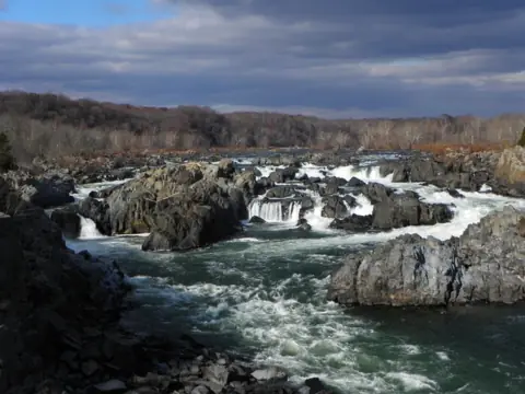 Great Falls ParkVirginia · 127 mi straight-lineOpen76FT
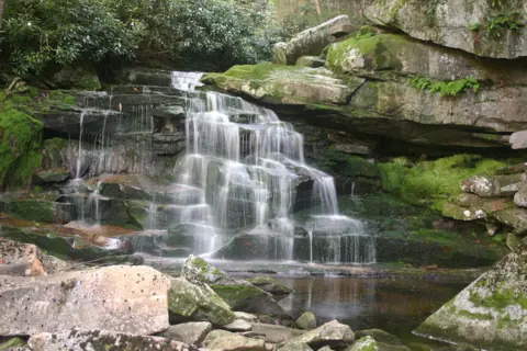 Elakala FallsWest Virginia · 90 mi straight-lineOpen40FT TALLEST OF FOUR
On these lists: Dog-friendly waterfalls
Sources
- USFS: Crabtree Falls Day Use Area, George Washington and Jefferson NFs (read Oct 29, 2026)
- Nelson County tourism: Crabtree Falls
- Virginia DWR Birding & Wildlife Trail: Crabtree Falls (USFS)
- WJLA: Hiker dies after falling over Crabtree Falls (May 2025)
- 29 News: One hiker dead, one injured at Crabtree Falls (May 2025)
- Wikipedia: Crabtree Falls
Last verified Oct 29, 2026 by The Waterfall Guide editorial team. Conditions change: confirm with USDA Forest Service, Glenwood-Pedlar Ranger District before you go. Spotted something out of date? Report a correction.