Right now
Right now as of Oct 28, 2026
- Permit No permit needed. Entry fee: $5 day pass or Northwest Forest Pass.
Status note (Oct 28, 2026): Open. The Forest Service trail page (updated August 31, 2026) posts no closure. Winter is uncertain. In winter 2025-26 the Forest Service closed the Franklin Falls Sno-Park and closed Forest Road 58 to vehicles. No notice for winter 2026-27 was posted as of late October 2026. What the status labels mean
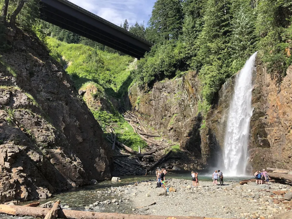
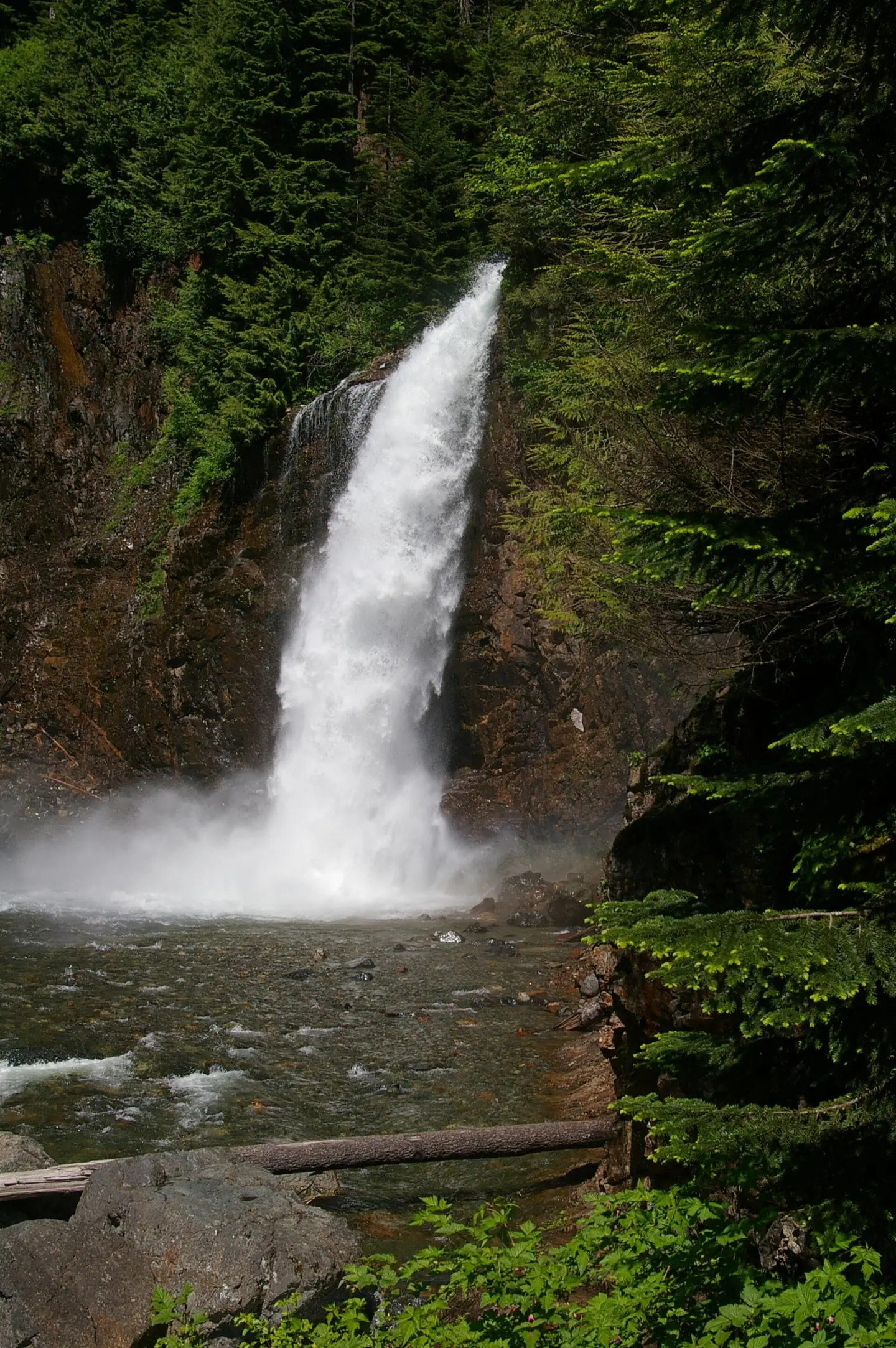
Franklin Falls drops 135 feet in three tiers on the South Fork Snoqualmie River in Mt. Baker-Snoqualmie National Forest, Washington. From the trail you see only the bottom drop, which the Forest Service calls a 70-foot falls. In summer it is an easy 2-mile round trip from lots off I-90 exit 47. Parking needs a $5 forest day pass or a Northwest Forest Pass. The Forest Service posted no closure as of its August 31, 2026 update.
About Franklin Falls
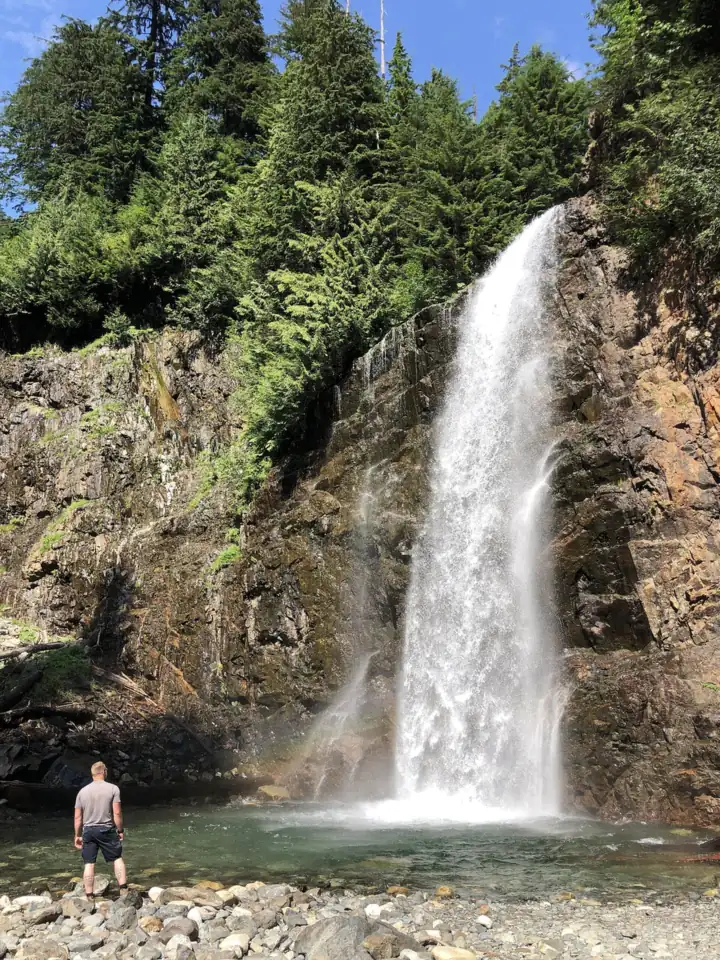
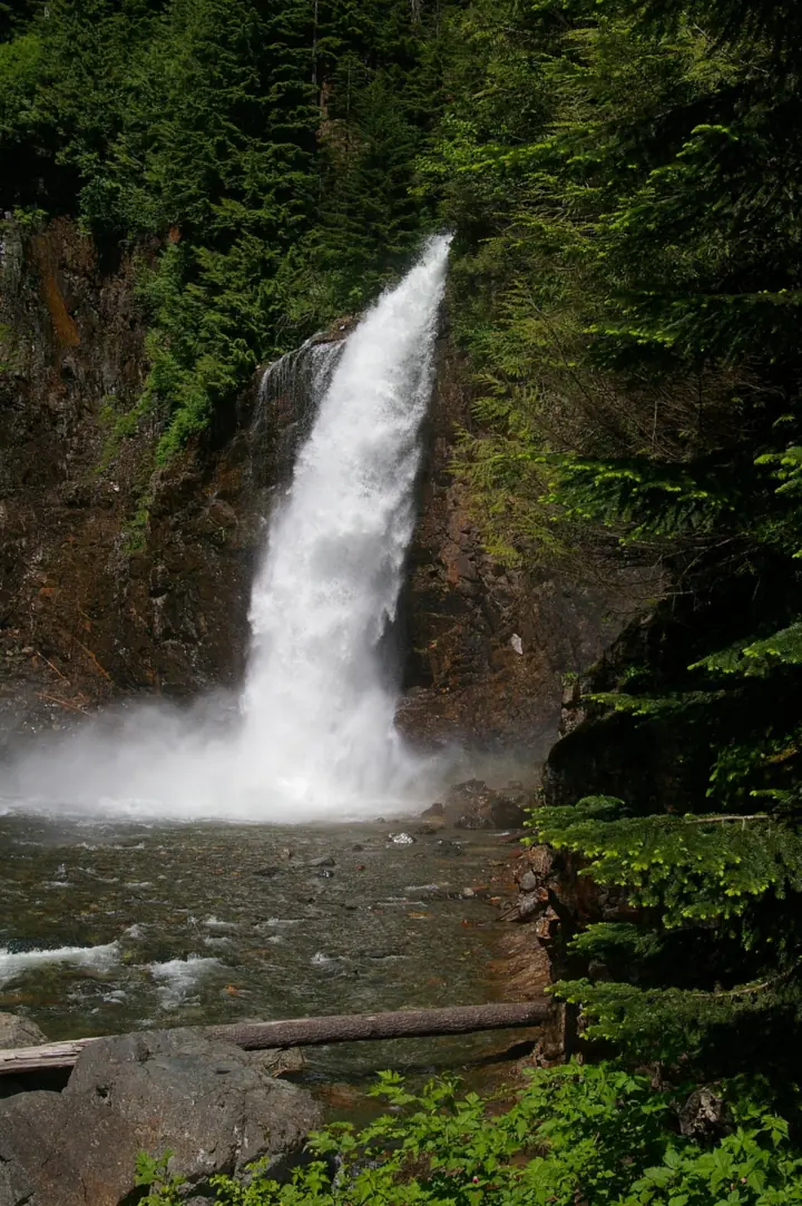
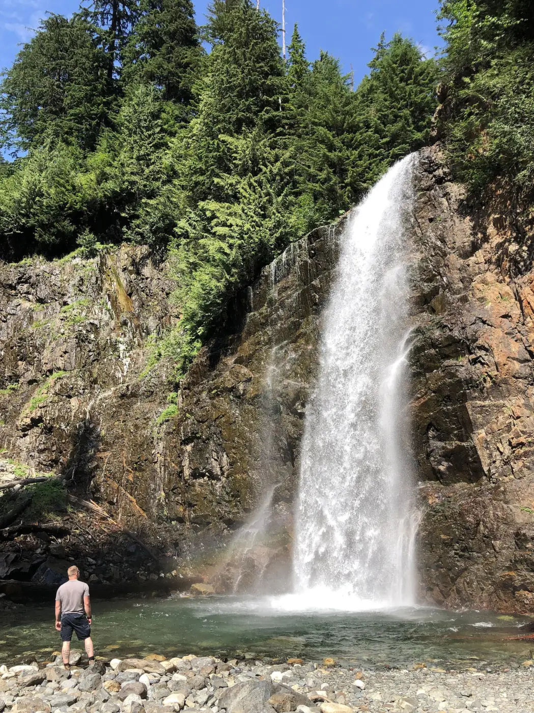
Franklin Falls drops 135 feet in three tiers on the South Fork Snoqualmie River, according to WTA and Wikipedia. From the trail you see only the last and largest drop, which is about 70 feet.
The location is unusual. Wikipedia places the falls between the northbound and southbound lanes of Interstate 90, just east of exit 47. The trail is in the Mt. Baker-Snoqualmie National Forest, on the Snoqualmie Ranger District.
The trailhead has changed in recent years. The lots closed in summer 2023 for an expansion, WTA reported, and reopened in November 2023 with about 170 paved spaces.
In February 2025, the Valley Record reported that the Forest Service had signed the Franklin Falls and Denny Creek trailheads closed after staffing cuts. It also reported that the Franklin Falls Sno-Park was closed indefinitely.
Getting there and parking
Franklin Falls is reached from I-90 exit 47, then 2.8 miles on Forest Road 58 to the trailhead lots, per the Forest Service.
From Seattle and Snoqualmie Pass
WTA's directions from Seattle: head east on I-90 to exit 47 (Denny Creek/Tinkham Road). The Forest Service says to turn left onto Denny Creek Road (Forest Road 58) and continue straight for 2.8 miles.
About a quarter mile past Denny Creek Campground, the road becomes one-way, per the Forest Service. Before the main parking you pass a vault toilet and ADA parking on the left. WTA counts three lots holding roughly 170 cars, and roadside parking isn't allowed.
No official source we found gives a drive time from Seattle, so check a map before you go.
Passes
Plan on paying to park. As listed in October 2026, the Forest Service accepts a $5 National Forest Day Pass, a $30 annual Northwest Forest Pass, or digital and Interagency passes. The Washington Discover Pass does not work here.
WTA says an electronic pay station sits at the first lot. If you'd rather buy ahead, the Forest Service sells a digital Northwest Forest Pass on Recreation.gov with no extra fee.
Winter route from Asahel Curtis Sno-Park
When the Denny Creek Road gate is closed, the hike starts at Asahel Curtis Sno-Park instead. WTA's winter page lists 7.0 miles round trip with 800 feet of gain and a high point of 2,600 feet.
In snow season, the Forest Service requires a Washington Sno-Park permit, and chains can be required on I-90. Also in King County, Snoqualmie Falls has an upper viewing deck about 200 feet from its paid lot.
Map and nearby falls
Map loads as you scroll. Open in OpenStreetMap
OpenPartly open / seasonalUnconfirmedClosedLarger map
The Franklin Falls hike
Summer route: the Forest Service calls Franklin Falls Trail 1036 a favorite one-mile hike for families, or two miles round trip. It describes an easy walk that rises gradually through old-growth forest. WTA lists about 400 feet of gain.
The last stretch: the trail ends at the base of the falls. The Forest Service warns that the descent to the base of the 70-foot falls is steep and can be slippery.
Loop option: about a quarter mile before the falls, the Forest Service says you can turn right at the junction onto Wagon Road Trail 1021. That makes a 2-mile loop back toward the start.
Winter route: from Asahel Curtis Sno-Park, WTA puts the walk at 7.0 miles round trip with 800 feet of gain.
Trailhead basics: WTA says there are no trash cans, so pack out everything you carry in. Dogs are allowed on a leash.
When to visit
WTA says the falls run year-round, and the best flows are between April and July. At peak flow the spray is heavy.
Weather, ice and snow by season
The USGS flow chart on this page shows the same pattern for the river. Monthly flow peaks in May and drops to its lowest in August, then climbs again with fall rain.
Summer and fall are the seasons when you can drive to the trailhead. In winter, Forest Road 58 may be gated, and the Franklin Falls Sno-Park may not operate.
Winter 2025-26 shows how that plays out. A Forest Service alert, in effect from November 21, 2025 to April 1, 2026, closed the Sno-Park and closed the road to vehicles. We found no notice yet for winter 2026-27.
In winter, WTA says icicles form on the rock face, but the falls keep flowing. If you want a longer day in any season, Wallace Falls near Gold Bar is a 5.6-mile round trip.
When is the water highest?
At a USGS stream gauge about 7.3 mi from the falls, the flow averages highest in May and lowest in August, based on 30 years of records (1996 to 2025).
Show the numbers
| Month | Average flow (cfs) |
|---|---|
| January | 370 |
| February | 288 |
| March | 296 |
| April | 396 |
| May | 564 |
| June | 416 |
| July | 146 |
| August | 55 |
| September | 67 |
| October | 208 |
| November | 417 |
| December | 342 |
| Height | 135 ftNote: total over three tiers (WTA, Wikipedia); the Forest Service describes the visible drop at the trail's end as a 70-foot falls |
|---|---|
| Trail | 1 mi each way (2 mi round trip) on Trail 1036, rated easy by the Forest Service; WTA gives about 400 ft of gain. About 7 mi round trip from Asahel Curtis Sno-Park when the winter gate is closed |
| Difficulty | Easy in summer, with a steep, slippery descent to the base; long winter approach with avalanche risk |
| Entry fee | The Forest Service passes page listed a $5 National Forest Day Pass or $30 annual Northwest Forest Pass in Oct 2026; confirm there before you go. Interagency passes accepted. Discover Pass not valid. Sno-Park permit in snow season. |
| Permit / reservation | No hiking permit; Northwest Forest Pass to park, Washington Sno-Park permit in snow season |
| Parking | FR 58 lots, 2.8 mi from exit 47; no roadside parking |
| Dogs | Allowed on a leash (WTA) |
| Swimming | No rule found; WTA warns of slippery rock and heavy spray, and says to avoid the splash pool in icy conditions |
| Wheelchair / stroller | No accessible trail listed; WTA notes ADA parking closer to the trailhead |
| Restrooms | Vault toilet beside the ADA parking, before the main lot (Forest Service); no trash cans, so pack out your trash (WTA) |
| Best time to visit | April to July for the best flows (WTA) |
| Managed by | USDA Forest Service, Mt. Baker-Snoqualmie National Forest (Snoqualmie Ranger District) |
Safety and swimming
We found no swimming rule for Franklin Falls. The Forest Service warns that the descent to the base is steep and can be slippery. WTA adds heavy spray at peak flow and says to avoid the splash pool in icy conditions.
Winter adds avalanche danger. WTA notes the falls sit at the base of an avalanche chute and strongly discourages entering that area.
Before a winter trip, check the Northwest Avalanche Center forecast and stay out of the basin when danger is high. Our waterfall safety guide covers wet rock and cold water.
Where to stay near Franklin Falls
Compare hotels, cabins and rentals close to the falls around Snoqualmie Pass.
See places to stay nearbyAffiliate link: we may earn a commission at no cost to you. Partners do not see or change our waterfall facts. Disclosure.
Photos


Franklin Falls FAQ
Is Franklin Falls open right now?
Yes, as far as the Forest Service shows. Its trail page, updated August 31, 2026, posts no closure. Winter is less certain. No notice for winter 2026-27 was posted as of late October, and in winter 2025-26 the Sno-Park was closed and Forest Road 58 closed to vehicles.
Do you need a pass for Franklin Falls?
Yes. The Forest Service passes page listed a $5 day pass, a $30 annual Northwest Forest Pass or an Interagency pass in October 2026. Confirm on that page before you go. The Discover Pass isn't valid here. In snow season a Washington Sno-Park permit is required.
How long is the Franklin Falls hike?
About 2 miles round trip: the Forest Service calls it a one-mile hike each way, and WTA lists about 400 feet of gain. In winter, if the Denny Creek Road gate is closed, plan on 7.0 miles round trip from Asahel Curtis Sno-Park.
Can you hike to Franklin Falls in winter?
Yes, but the road may be gated. In winter 2025-26 the Franklin Falls Sno-Park didn't operate. WTA says icicles form but the falls keep flowing. They sit under an avalanche chute, so check the Northwest Avalanche Center forecast first.
Are dogs allowed at Franklin Falls?
Yes, on a leash, according to WTA.
How tall is Franklin Falls?
135 feet in three tiers, per WTA and Wikipedia. From the trail you see only the bottom drop, which the Forest Service calls a 70-foot falls.
Where do you park for Franklin Falls?
Take I-90 exit 47 and follow Forest Road 58 straight for 2.8 miles, per the Forest Service. A vault toilet and ADA parking come first, then the main lots. WTA says roadside parking isn't allowed.
How far is Franklin Falls from Seattle?
We found no official total distance. WTA's route runs east on I-90 to exit 47, and the Forest Service gives 2.8 miles on Forest Road 58 from there to the trailhead.
Nearby waterfalls
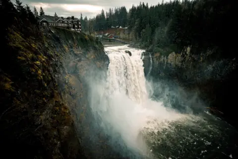 Snoqualmie Falls21 mi straight-lineOpen268FT
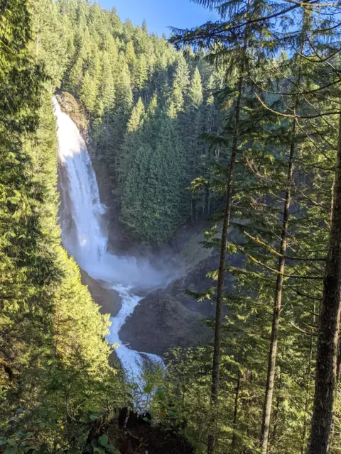 Wallace Falls33 mi straight-lineOpen265FT
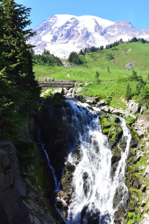 Myrtle Falls46 mi straight-lineOpen60FT
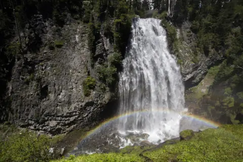 Narada Falls47 mi straight-lineOpen168FT
City guides: Waterfalls near Seattle, WA
On these lists: Dog-friendly waterfalls
Sources
Some facts credited to the Forest Service come from search-result excerpts of its official pages. Confirm fees and rules on the official site.
- USFS: Franklin Falls Trail 1036 (updated Aug 31, 2026; read Oct 28, 2026)
- USDA Forest Service: Franklin Falls Trailhead (archived Apr 10, 2026)
- USFS alert: Franklin Falls Sno-Park closed for winter (2025-26)
- USDA Forest Service Region 6: Passes (updated Oct 5, 2026)
- WTA: Franklin Falls
- WTA: Franklin Falls (winter)
- WTA: Franklin Falls, Denny Creek reopen (Nov 2023)
- Valley Record: Snoqualmie Pass trailheads close due to Forest Service staffing cuts (2025)
- Wikipedia: Franklin Falls
Last verified Oct 28, 2026 by The Waterfall Guide editorial team. Conditions change: confirm with USDA Forest Service, Mt. Baker-Snoqualmie National Forest (Snoqualmie Ranger District) before you go. Spotted something out of date? Report a correction.