Right now
Right now as of Oct 28, 2026
- Permit None needed.
Status note (Oct 28, 2026): Open daily, sunrise to sunset. As listed Oct 2026, the official FAQ says the hiking trail is open. In high water the river can run alongside the lower boardwalk, so check conditions before you plan around the lower deck. What the status labels mean
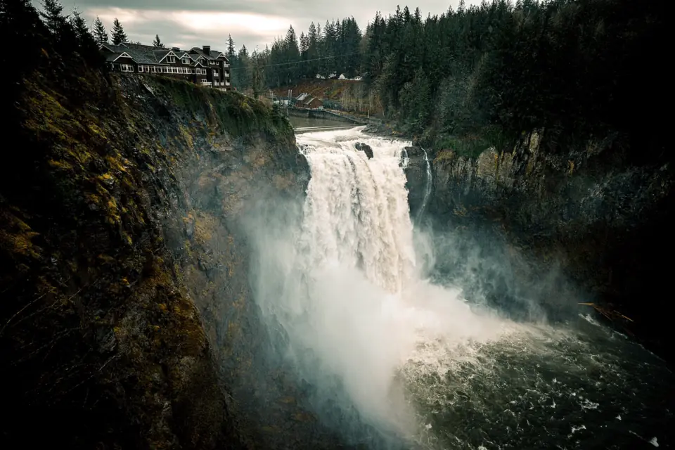
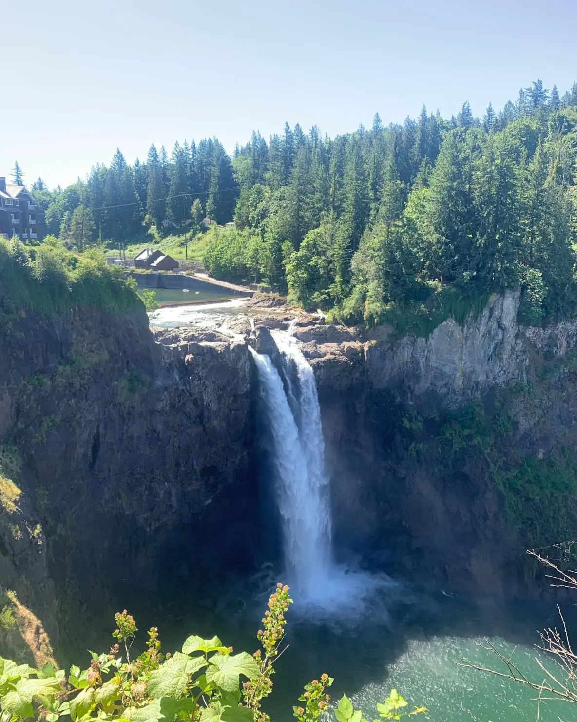
Snoqualmie Falls is a 268-foot waterfall on the Snoqualmie River, 29 miles from downtown Seattle by the official directions. Admission is free, and the park is open sunrise to sunset every day. Parking is free across the street or $7 per hour in the paid lot. The upper viewpoint is a short, accessible walk, and a 15-minute trail drops 250 feet to a lower deck and boardwalk.
About Snoqualmie Falls
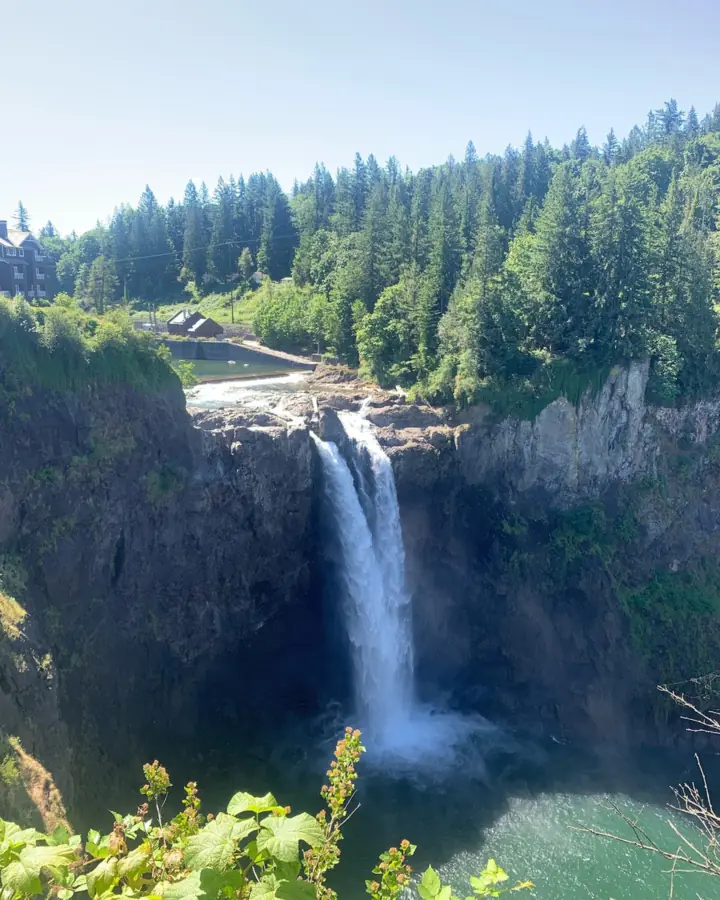
Snoqualmie Falls is a single drop of 268 feet, according to Wikipedia and the City of Snoqualmie; the official site's homepage rounds it to 270 feet. The curtain of water averages about 100 feet wide, per Wikipedia.
The falls are also a working power site. Most of the river's water is diverted to Puget Sound Energy's hydroelectric plant, KUOW reports. Plant 1, built in 1899 inside the rock at the base of the falls, was the world's first completely underground power plant, according to Wikipedia. The American Society of Civil Engineers named it a Civil Engineering Landmark in 1981.
Salish Lodge and who owns the falls
Ownership here is split, and it's easy to get wrong. Puget Sound Energy operates Snoqualmie Falls Park and the hydroelectric project. Separately, the Snoqualmie Indian Tribe bought the Salish Lodge & Spa and about 45 acres around the falls for $125 million, FOX 13 reported. The purchase was announced on November 1, 2019.
The tribe holds the falls sacred, so treat the site with respect.
The Salish Lodge has two places to eat: The Restaurant & Terrace Bar and The Lounge. The lodge says reservations are recommended for both hotel guests and visitors. Call (425) 888-2556 or check its dining page for current hours.
Getting there and parking
Snoqualmie Falls is off I-90 exit 25, east of Seattle. Parking is free across the street or $7 per hour in the paid lot, per the official site.
From Seattle
Snoqualmie Falls is 29 miles from downtown Seattle, according to the official directions page. Take I-90 to exit 25 for WA-18 West toward Snoqualmie Parkway. The closest address is 6501 Railroad Ave SE, Snoqualmie, WA 98024.
Farther east on I-90, Franklin Falls near Snoqualmie Pass makes a second stop in season.
Parking lots and rates
The official site lists free parking across the street and paid parking at $7 per hour. RV parking is available in the free lot. The official site also advises keeping valuables out of sight wherever you park.
The City of Snoqualmie describes the lots differently. It lists a free upper lot with access over a sky bridge, a $7 lower lot and overflow parking at the corner of Railroad Ave and Snoqualmie Parkway. Check the posted signs when you arrive.
The official site gives a lower lot address at 37479 SE Fish Hatchery Rd, Fall City, near the lower viewpoint. It doesn't list a rate there. The city also notes a paved 1-mile walk to and from historic downtown Snoqualmie.
If you're building a Pacific Northwest trip, Multnomah Falls in Oregon's Columbia River Gorge is another high-traffic falls with a short, easy viewing walk.
Map and nearby falls
Map loads as you scroll. Open in OpenStreetMap
OpenPartly open / seasonalUnconfirmedClosedLarger map
The hike
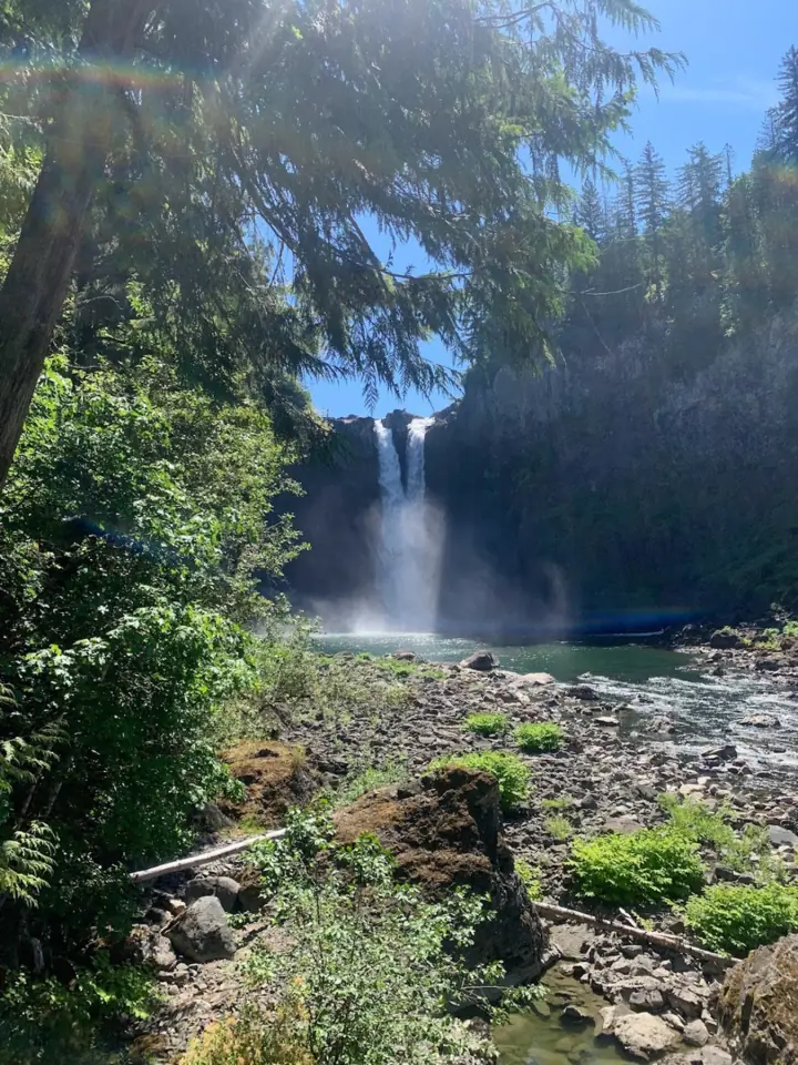
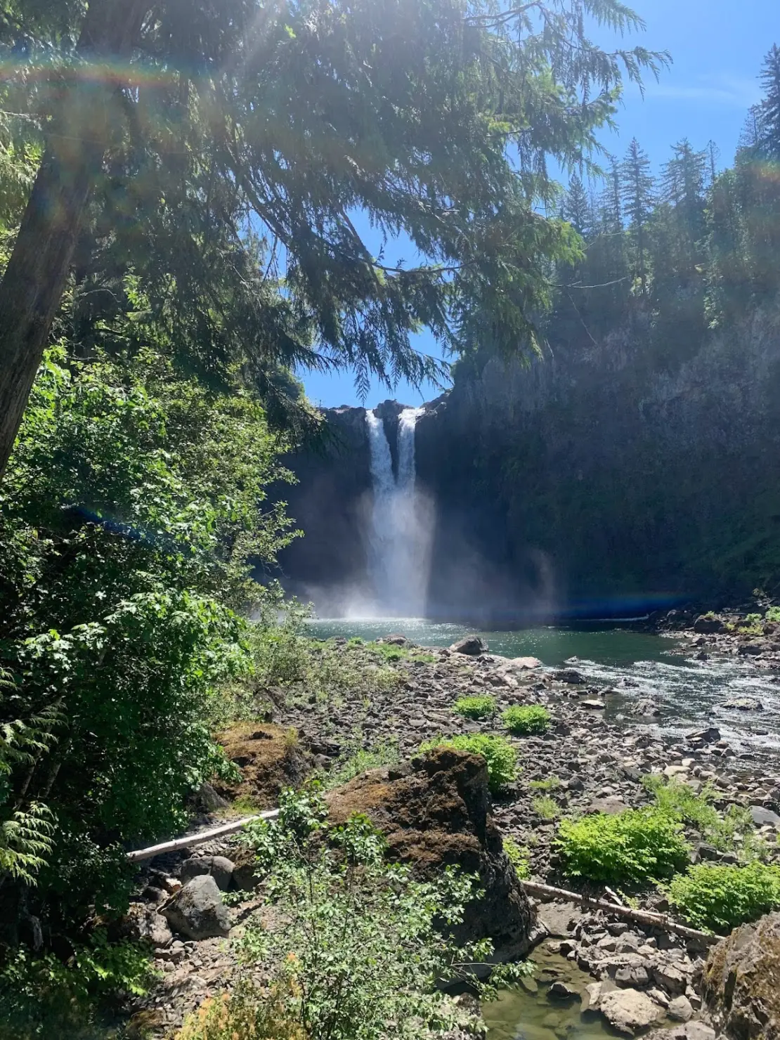
Snoqualmie Falls has two viewpoints. The accessible upper deck is a short walk from the upper lot, and the lower deck is about 15 minutes down a trail that drops 250 feet.
Upper observation deck
The upper viewpoint is a short walk from the upper parking lot, and the official FAQ says it is handicap accessible. It shows the falls from above. The park has 5 picnic tables, and BBQing is not allowed, per the official FAQ.
Lower observation deck and boardwalk
The official hiking page calls the trail down an approximately 15-minute walk with a 250-foot drop in elevation. WTA puts it at 1.4 miles round trip. The official site says the return is like climbing to the top of a 30-story building, so allow extra time coming back.
Restrooms are at the top and near the bottom of the trail. The lower falls trail is not handicap accessible, per the official FAQ. The trail ends where the boardwalk ends, and the official site says going beyond that point is unsafe.
When to visit
The park is open every day of the year, sunrise to sunset, according to the official site. The falls are also lit in the evening.
High water and floods
USGS records for the Snoqualmie River near Snoqualmie (gauge 12144500, 1996 to 2025) show the highest average flows in November, January and May. Each of those months averages roughly 3,800 to 4,000 cubic feet per second.
Late summer is the low point. August averages about 670 cubic feet per second, roughly a sixth of the peak months, so expect a thinner curtain then.
Floods push the river far above those averages. In December 2025 the Snoqualmie River crested at about 17.8 feet, its highest level in a decade, KVAL reported. The flow hit about 45,000 cubic feet per second.
In high water the river can run alongside the lower boardwalk, the official hiking page notes. During floods, plan on the upper deck and follow any closures posted on site.
In October 2019 the Valley Record reported that the lower deck and boardwalk would close for the off-season, Labor Day to Memorial Day. As listed Oct 2026, the official FAQ simply says the hiking trail is open.
When is the water highest?
At a USGS stream gauge about 0.3 mi from the falls, the flow averages highest in May and lowest in August, based on 30 years of records (1996 to 2025).
Show the numbers
| Month | Average flow (cfs) |
|---|---|
| January | 3,808 |
| February | 2,870 |
| March | 2,879 |
| April | 3,181 |
| May | 3,974 |
| June | 3,326 |
| July | 1,488 |
| August | 671 |
| September | 805 |
| October | 2,098 |
| November | 3,836 |
| December | 3,371 |
| Height | 268 ftNote: single drop; curtain about 100 ft wide on average |
|---|---|
| Trail | Short, accessible walk to the upper viewpoint; 1.4 mi round trip (WTA) and a 250-ft drop to the lower deck and boardwalk |
| Time needed | About 15 minutes down to the lower deck (official site); the climb back takes longer |
| Entry fee | Free admission; free parking across the street or a paid lot at $7 per hour (official site) |
| Permit / reservation | None needed |
| Parking | Free lot across the street, or $7/hour paid lot |
| Hours / season | Daily, sunrise to sunset, 365 days a year; the falls are lit in the evening (official site) |
| Dogs | Allowed on a leash, but discouraged during busy times (official site) |
| Swimming | No; the official site says it is unsafe to go past the end of the boardwalk |
| Wheelchair / stroller | Yes to the upper falls viewpoint, a short walk from the upper parking lot; the lower falls trail is not accessible (official FAQ) |
| Walk behind the falls | No |
| Restrooms | Yes, at the top and near the bottom of the lower trail (official hiking page) |
| Crowds | Very high, more than 1.5 million visitors a year (Wikipedia) |
| Managed by | Puget Sound Energy (Snoqualmie Falls Park) |
Safety and swimming
There is no swimming at Snoqualmie Falls. The official site's hiking page says the trail ends at the end of the boardwalk and that going beyond it is unsafe. WTA asks visitors not to climb over gates or railings, because surfaces are slippery and river levels are unpredictable.
On the lower trail, wear shoes with good grip, since the path is steep in both directions. Keep children close at both decks and keep dogs on a leash. Drones and similar aircraft are not allowed, per the official FAQ.
For general tips, see our waterfall safety page.
Where to stay near Snoqualmie Falls
Compare hotels, cabins and rentals close to the falls around Snoqualmie.
See places to stay nearbyAffiliate link: we may earn a commission at no cost to you. Partners do not see or change our waterfall facts. Disclosure.
Photos


Snoqualmie Falls FAQ
Is Snoqualmie Falls free?
Yes. The official FAQ says admission is free. Parking is free in the lot across the street, or $7 per hour in the paid lot, according to the official site.
How far is Snoqualmie Falls from Seattle?
29 miles from downtown Seattle, according to the official directions page. Take I-90 to exit 25 for WA-18 West toward Snoqualmie Parkway. The closest address is 6501 Railroad Ave SE, Snoqualmie.
How long is the hike to the bottom of Snoqualmie Falls?
The official site calls it an approximately 15-minute walk down, with a 250-foot drop. WTA puts it at 1.4 miles round trip. The official site compares the return to climbing a 30-story building.
What are Snoqualmie Falls hours?
The park is open every day of the year from sunrise to sunset, and the falls are lit in the evening, according to the official site.
When is Snoqualmie Falls at its biggest?
USGS averages peak in November, January and May, and August is the low point. Floods bring the biggest flows, like the December 2025 crest of about 45,000 cubic feet per second (KVAL).
Is there a restaurant or lodge at Snoqualmie Falls?
Yes. The Salish Lodge & Spa has The Restaurant & Terrace Bar and The Lounge. The lodge recommends reservations for both guests and visitors. The Snoqualmie Indian Tribe has owned the lodge since 2019.
How tall is Snoqualmie Falls?
268 feet, in a single drop about 100 feet wide on average, according to Wikipedia. The City of Snoqualmie also gives 268 feet; the official site's homepage says 270.
Can you bring dogs to Snoqualmie Falls?
Yes, on a leash. The official site says leashed pets are allowed but discouraged during busy times.
Nearby waterfalls
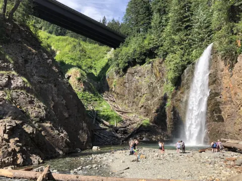 Franklin Falls21 mi straight-lineOpen135FT
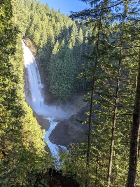 Wallace Falls25 mi straight-lineOpen265FT
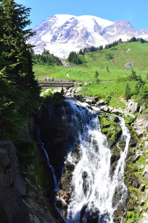 Myrtle Falls52 mi straight-lineOpen60FT
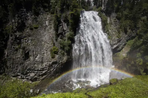 Narada Falls53 mi straight-lineOpen168FT
City guides: Waterfalls near Seattle, WA
On these lists: Dog-friendly waterfalls · Free waterfalls
Sources
- Official Snoqualmie Falls site (parking and hours, read Oct 28, 2026)
- Snoqualmie Falls: FAQ (admission, dogs, drones, trail status, picnic tables, accessibility; read Oct 28, 2026)
- Snoqualmie Falls: Directions (29 miles from downtown Seattle, I-90 exit 25)
- Snoqualmie Falls: Hiking
- City of Snoqualmie: Snoqualmie Falls (parking lots)
- Salish Lodge & Spa: Dining
- WTA: Snoqualmie Falls
- USGS 12144500: Snoqualmie River near Snoqualmie, WA (monthly mean flow, 1996 to 2025)
- KVAL: Snoqualmie River reaches highest level in a decade (Dec 2025)
- Wikipedia: Snoqualmie Falls
- FOX 13: Snoqualmie Tribe buys Salish Lodge, land for $125 million
- KUOW: Snoqualmie Tribe buys Snoqualmie Falls for $125M
- Valley Record: Snoqualmie Falls closes boardwalk to lower viewpoint (Oct 2019)
Last verified Oct 28, 2026 by The Waterfall Guide editorial team. Conditions change: confirm with Puget Sound Energy (Snoqualmie Falls Park) before you go. Spotted something out of date? Report a correction.