Right now
Right now as of Oct 27, 2026
- Permit Not needed now. The 2026 season ran May 22 to Sep 7; 2027 dates are not announced yet.
- Heads-up Lodge restrooms closed for renovation through November 2026.
Status note (Oct 27, 2026): Open. The 2026 permit season ended September 7, and ODOT says 2027 details will be posted on its site and Recreation.gov. Lodge restrooms are closed for renovation through November 2026. ODOT reports construction on the Historic Highway (US-30) near the falls. What the status labels mean
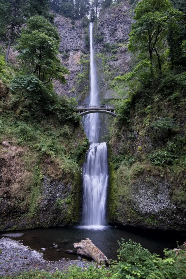
Multnomah Falls is a 620-foot, two-tier waterfall in the Columbia River Gorge, about a 30-minute drive from downtown Portland, according to the lodge. No entry fee is listed, and no ticket is needed. As of October 27, 2026, the site is open, and the 2026 summer permit season for the I-84 Exit 31 lot (May 22 to September 7) has ended. A short walk reaches Benson Bridge, and the trail to the top is 2.4 miles round trip.
About Multnomah Falls
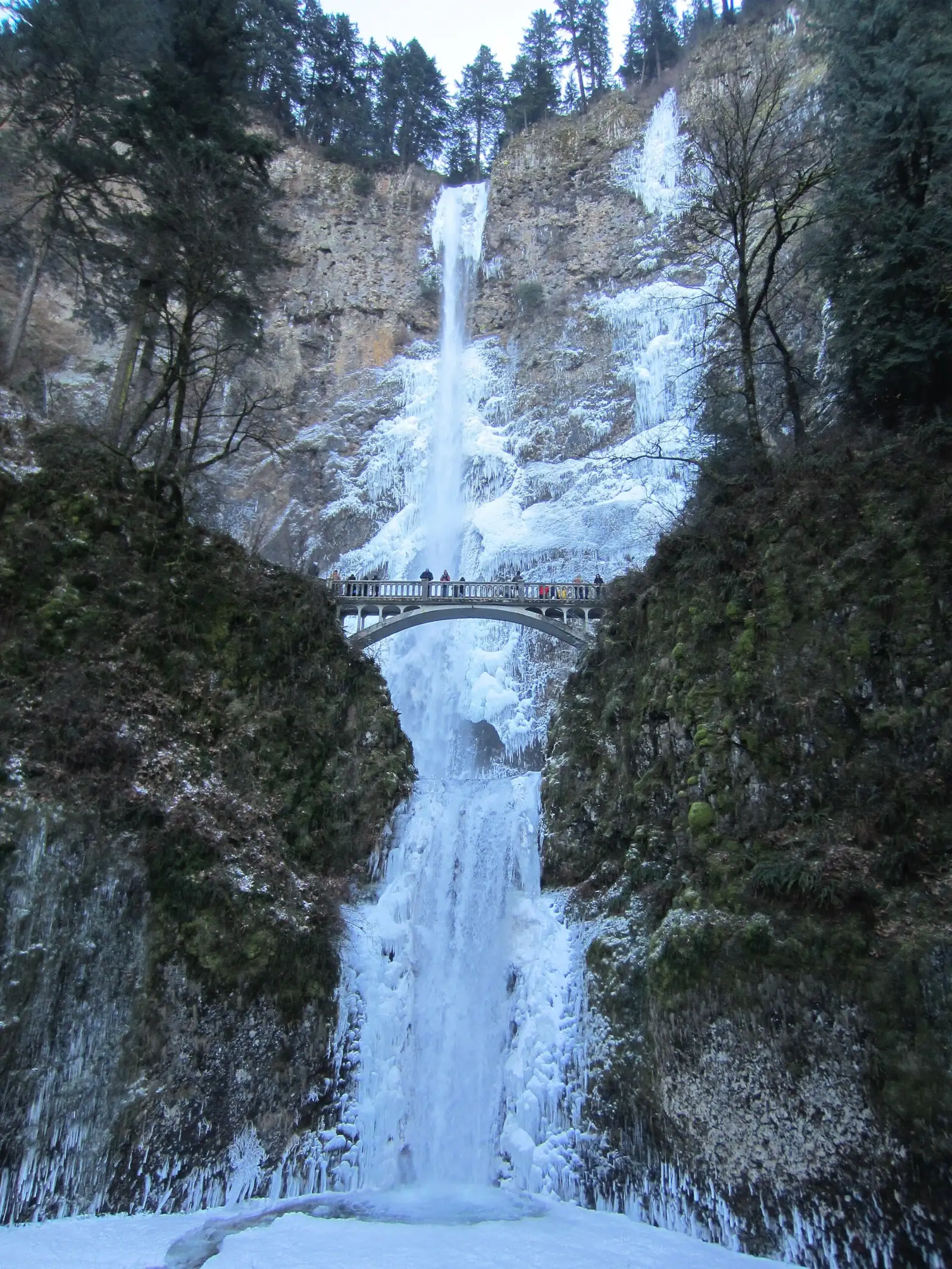
Multnomah Falls is often called Oregon's tallest waterfall. The Forest Service calls it the most visited natural recreation site in the Pacific Northwest, with more than 2 million visitors a year. Multnomah Creek drops 542 feet in the upper falls, then another 69 feet in the lower falls. The total is usually given as 620 feet. Springs on Larch Mountain feed the creek, and flow is usually highest in winter and spring.
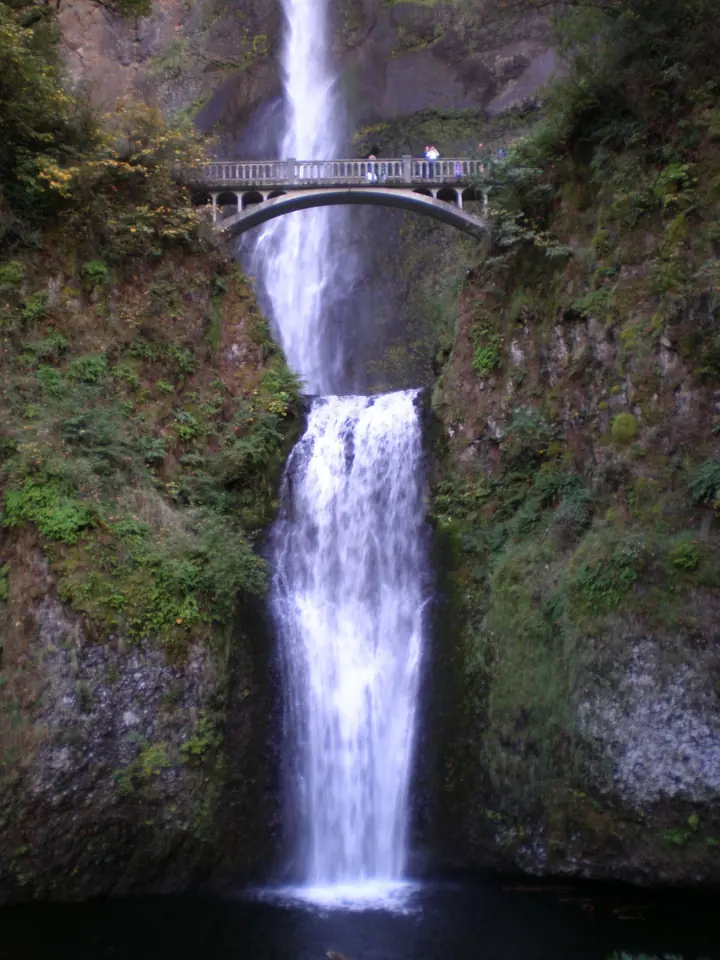
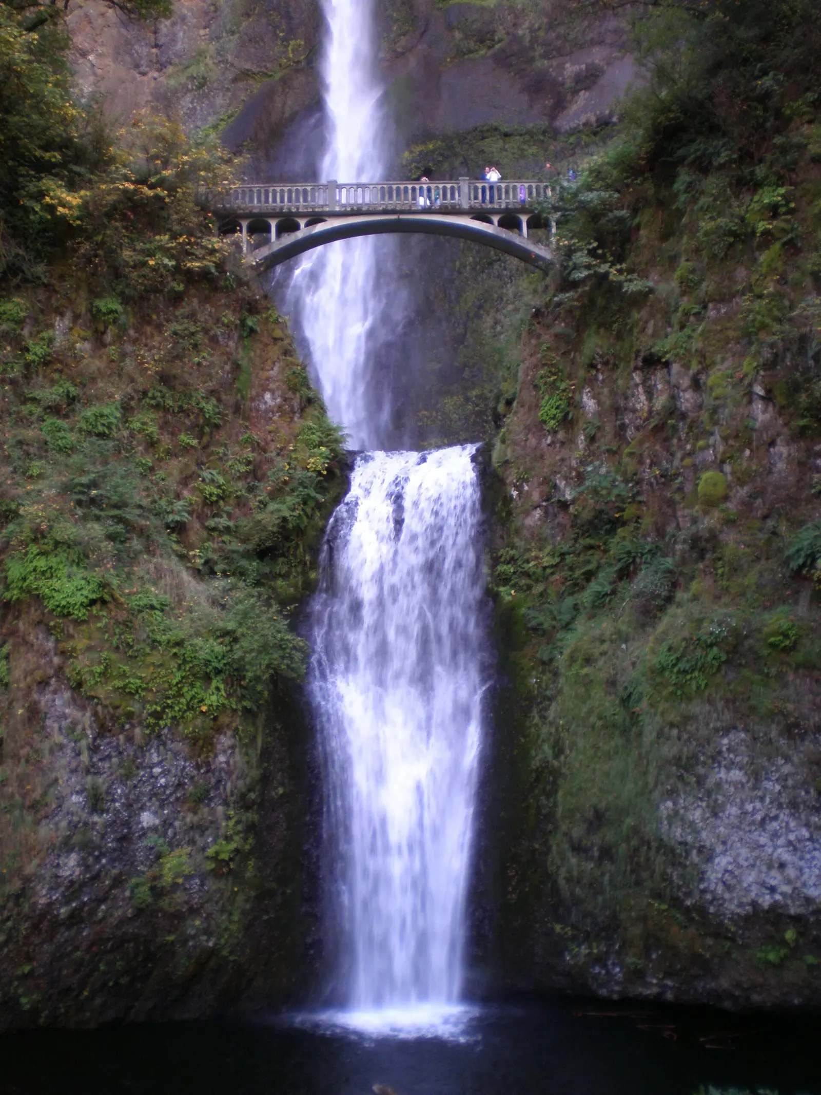
The stone footbridge across the lower falls is Benson Bridge. It is named for Portland businessman Simon Benson, who owned the falls in the early 1900s and later gave them to the City of Portland. The land is now part of the Columbia River Gorge National Scenic Area, managed by the U.S. Forest Service. The cliff shows six lava flows of Grande Ronde Basalt, spanning more than 400,000 years.
On Labor Day 1995, a 400-ton boulder broke off the cliff and fell into the upper pool. It sent a wave over Benson Bridge and injured 20 members of a wedding party.
Multnomah Falls Lodge and restaurant
Multnomah Falls Lodge stands at the base of the falls. Architect A. E. Doyle designed it, and it was finished in 1925. It is on the National Register of Historic Places. During the 2017 Eagle Creek Fire the lodge was threatened and closed, then reopened on November 29, 2017.
The lower level holds a visitor center, a snack bar, a gift shop and restrooms. Friends of Multnomah Falls volunteers and the Forest Service staff the visitor center together. The restrooms are closed for renovation through November 2026. The restaurant is on the upper level, reached by stairs or an elevator, which the lodge says runs intermittently.
As listed on October 27, 2026, the lodge is open Monday to Friday 9am to 6pm and weekends 8am to 6pm. The restaurant serves seven days a week. Reservations are encouraged but not required; call (503) 695-2376. The mailing address is 53000 E Historic Columbia River Hwy, Bridal Veil, OR 97010.
Getting there and parking
Multnomah Falls is off I-84 at Exit 31, about a 30-minute drive east of downtown Portland, according to the lodge. The free lot there needs a timed-use permit in summer, and in 2026 that season ran May 22 to September 7.
From Portland
Multnomah Falls Lodge puts the falls about a 30-minute drive from downtown Portland. Drive east on I-84 to Exit 31, where the off-ramp is on the left. It leads to a free lot between the eastbound and westbound lanes.
From the lot, walk south under I-84 and the railroad, then cross the Historic Highway to the lodge. When the lot fills, its entrance closes automatically, and the Forest Service says not to enter if the barriers are down. ODOT's TripCheck shows how full the lot is.
From Troutdale, Explore Troutdale puts the drive at just under 20 minutes on I-84, or just under 40 minutes on the Historic Highway.
The Historic Columbia River Highway (US-30) passes in front of the lodge. Its small lot is privately operated, charges a fee and has a few ADA spaces. ODOT says it fills quickly, and improperly parked cars can be ticketed or towed.
Summer timed-use permit
From May 22 to September 7, 2026, you needed a timed-use permit to park at the I-84 Exit 31 lot between 9am and 6pm. Book on Recreation.gov for a $2 transaction fee, or get a free permit in person in Troutdale or Cascade Locks. Explore Troutdale says each location offers 25 same-day permits.
There is no ticket to see the falls. The permit covers only the I-84 lot, and ODOT has not yet posted 2027 dates. Cyclists and riders on the Columbia Gorge Express, the Gray Line trolley and the Sasquatch Shuttle don't need a permit.
Shuttles, buses and tours
The Columbia Gorge Express runs 7 days a week between Gateway Transit Center in Portland, Troutdale, Multnomah Falls, Cascade Locks and Hood River. The operator says buses may skip the Multnomah Falls stop when the lot is full. Check fares on the operator's site.
The Sasquatch Shuttle is a private service from Columbia Gorge Premium Outlets in Troutdale. From May 23 into early September 2026, it ran hourly from 9am to 4pm, for $5 per person. The last return left at 6:10pm.
Gray Line also ran a seasonal Waterfall Trolley tour (summer 2026). Recreation.gov says riders on the Columbia Gorge Express, the trolley and the Sasquatch Shuttle don't need a permit, and neither do cyclists.
Map and nearby falls
Map loads as you scroll. Open in OpenStreetMap
OpenPartly open / seasonalUnconfirmedClosedLarger map
Hike to Benson Bridge and the top
Multnomah Falls has two main walks from the lodge. Benson Bridge is about a quarter mile each way on a paved path. The Forest Service puts the trail to the top at 2.4 miles round trip with about 600 feet of climbing.
To Benson Bridge: about a quarter mile each way from the lodge plaza on a paved path. This is the classic view, standing above the lower falls with the upper falls straight ahead.
To the top of the falls: Larch Mountain Trail #441 climbs past the bridge on a series of switchbacks. A short spur ends at a small viewing area at the very top of the falls.
The Forest Service puts the round trip to the top at 2.4 miles with about 600 feet of climbing. It compares that to 60 flights of stairs on steep, uneven ground.
Longer options: the Larch Mountain Trail continues up Multnomah Creek past more waterfalls toward Larch Mountain. A popular loop links Multnomah and Wahkeena Falls, a neighboring falls along the Historic Highway. Check current trail status with the Forest Service before you commit to either.
After big storms, check Forest Service alerts first. Much of the area burned in 2017, and the burn scar is prone to landslides. The lodge also notes intermittent Forest Service maintenance and repairs on the trails around the falls.
When to visit
The falls flow all year. The Forest Service says flow is usually highest in winter and spring, since underground springs feed the creek.
Weather by season
Spring brings strong flow before the summer rush. Summer is the busiest season, which is why the timed permit runs from late May to early September. Outside the permit season, you can drive to the I-84 lot without a reservation.
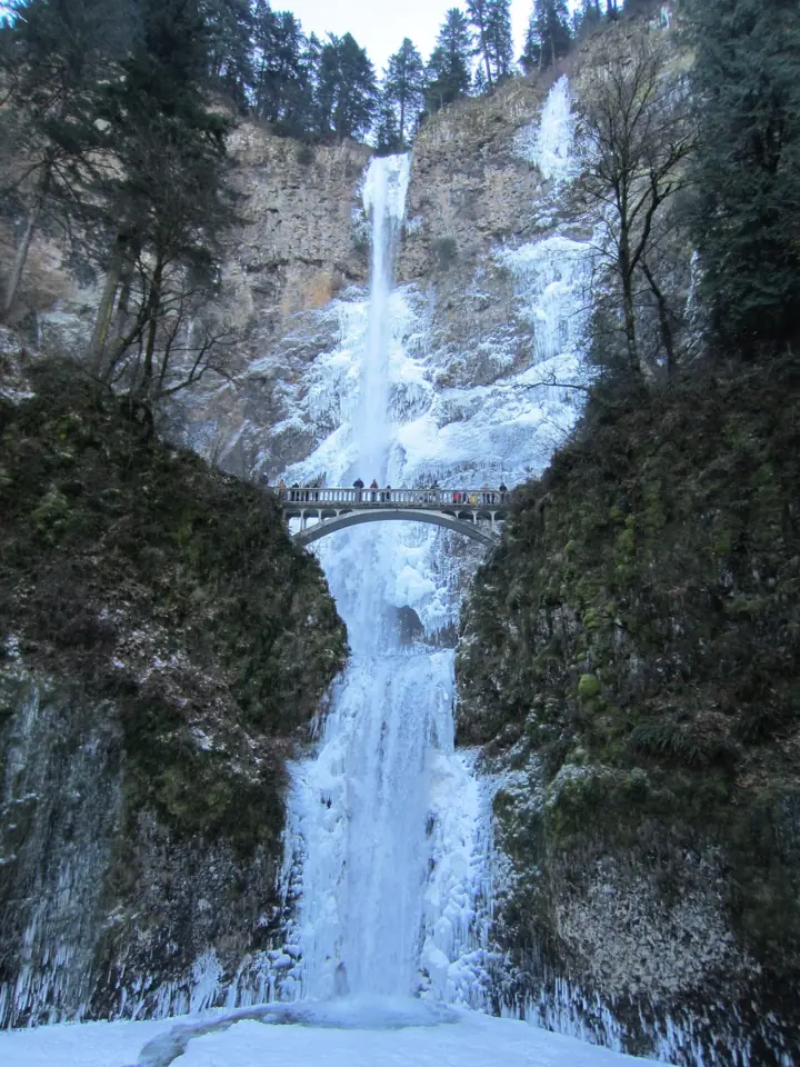
Fall and winter are quieter. In winter cold snaps the falls can partly freeze. Bring traction devices if you plan to climb when it's icy, and check I-84 road conditions through the gorge.
| Height | 620 ftNote: 542-ft upper falls and 69-ft lower falls |
|---|---|
| Trail | 0.5 mi round trip to Benson Bridge; 2.4 mi round trip to the top with about 600 ft of climbing (Forest Service) |
| Difficulty | Easy to Benson Bridge; steep in places to the top (about 600 ft of climbing) |
| Time needed | About 1/4 mile each way to the bridge (lodge); 2.4 mi round trip to the top (Forest Service) |
| Entry fee | No entry fee listed; the Forest Service calls the I-84 Exit 31 lot a free parking area |
| Permit / reservation | Summer timed-use permit for the I-84 Exit 31 lot ($2 online) |
| Parking | I-84 Exit 31 lot (timed permit in summer); closes when full |
| Hours / season | Site open year-round; lodge Mon to Fri 9am to 6pm, Sat to Sun 8am to 6pm (as listed Oct 27, 2026) |
| Dogs | Allowed on a leash |
| Swimming | No swimming area; stay on the trail |
| Wheelchair / stroller | The lodge and lower viewing plaza are wheelchair accessible (Forest Service); the trail above is steep |
| Walk behind the falls | No |
| Restrooms | Lodge restrooms closed for renovation through November 2026; limited portable toilets on site |
| Best time to visit | Winter and spring for the highest flow (Forest Service); outside the summer permit season to skip the permit |
| Crowds | Very high, more than 2 million visitors a year (Forest Service) |
| Managed by | U.S. Forest Service, Columbia River Gorge National Scenic Area |
Safety and swimming
Stay on the paved trail and behind railings. The 1995 rockfall is a reminder that the cliffs here shed rock. Don't climb down to the creek or the pools; there is no swimming area at the falls.
The trail to the top is steep, and wet leaves and ice make it slick. The 2017 Eagle Creek Fire burn scar is prone to landslides, so avoid hiking there during or right after heavy rain or snow. For general tips, see our waterfall safety guide.
Where to stay near Multnomah Falls
Compare hotels, cabins and rentals close to the falls around Corbett, or switch the map to tours and activities.
Or open the full stays map in a new tab
Affiliate links and map: we may earn a commission at no cost to you. The map loads from Stay22 only when you open it. Partners do not see or change our waterfall facts. Disclosure.
Photos


Multnomah Falls FAQ
Do I need a permit or ticket to visit Multnomah Falls?
No ticket is needed, and no entry fee is listed. The only permit is a summer timed-use permit for the I-84 Exit 31 lot. In 2026 it applied May 22 to September 7, 9am to 6pm, with a $2 online fee. Outside those dates and hours, you can go without a reservation.
How far is Multnomah Falls from Portland?
Multnomah Falls Lodge puts it about a 30-minute drive from downtown Portland. Take I-84 east to Exit 31, where the off-ramp is on the left. From Troutdale, the drive is just under 20 minutes on I-84, according to Explore Troutdale.
Is it hard to find parking at Multnomah Falls?
Yes, it can be. The free I-84 Exit 31 lot closes automatically when full, and a summer permit does not guarantee a space. The small paid lot on the Historic Highway fills quickly, and illegally parked cars can be ticketed or towed. Arriving by bus or shuttle avoids the problem.
Is there a shuttle to Multnomah Falls?
Yes. The Columbia Gorge Express bus runs daily from Gateway Transit Center in Portland and Troutdale. In summer 2026, the private Sasquatch Shuttle ran from the Troutdale outlets for $5 per person. Riders on both are exempt from the parking permit.
What are Multnomah Falls hours?
We found no posted closing time for the trail, and the Forest Service lists the site as open. As listed on October 27, 2026, the lodge is open 9am to 6pm on weekdays and 8am to 6pm on weekends. The summer permit applied 9am to 6pm.
How long is the hike to the top of Multnomah Falls?
The Forest Service puts it at 2.4 miles round trip with about 600 feet of climbing, like 60 flights of stairs. Benson Bridge is only about a quarter mile from the lodge.
How tall is Multnomah Falls?
About 620 feet in total: a 542-foot upper falls and a 69-foot lower falls. Wikipedia calls it the tallest waterfall in Oregon. The World Waterfall Database lists it at 632 feet and ranks it second in the state, behind an unnamed 705-foot fall in the Eagle Cap Wilderness. See our guide to the tallest waterfalls in the US.
Are dogs allowed at Multnomah Falls?
Yes, on a leash in the parking areas, the plaza and on the trail.
Nearby waterfalls
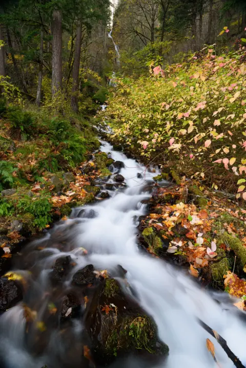 Wahkeena Falls1 mi straight-line, by our mathOpen242FT
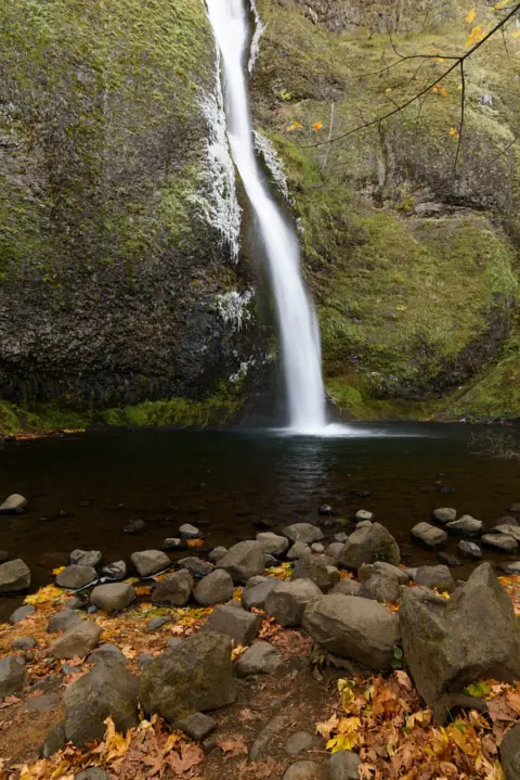 Horsetail Falls2 mi straight-line, by our mathOpen176FT
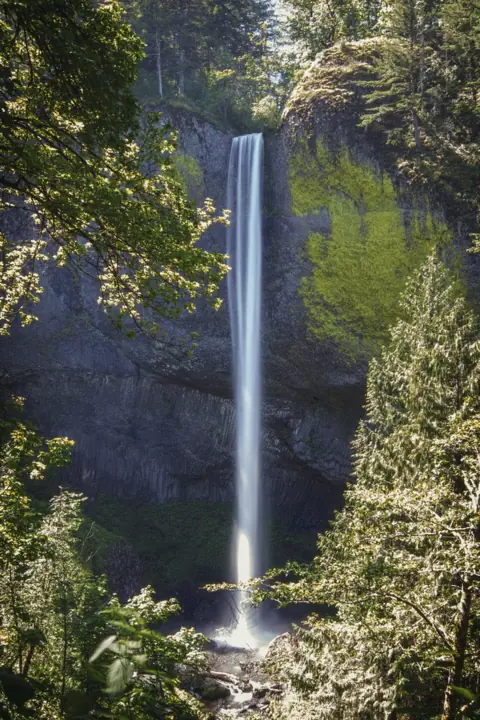 Latourell Falls6 mi straight-line, by our mathOpen224FT
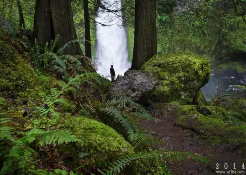 Wahclella Falls9 mi straight-line, by our mathOpen60FT
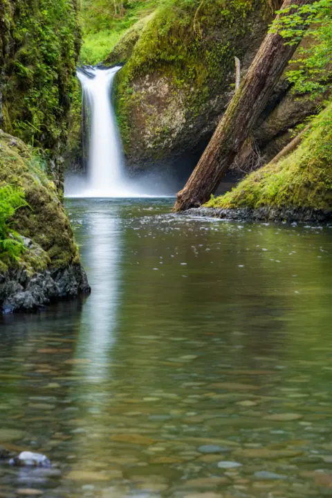 Punch Bowl Falls11 mi straight-line, by our mathOpen35FT
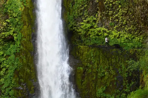 Tunnel Falls13 mi straight-line, by our mathOpen
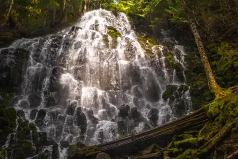 Ramona Falls21 mi straight-line, by our mathSeasonal
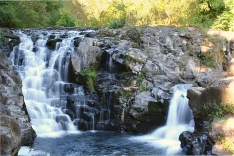 Moulton Falls22 mi straight-line, by our mathOpen10FT
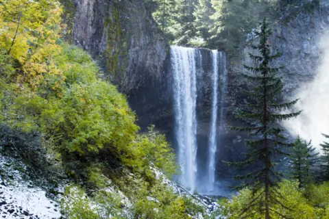 Tamanawas Falls28 mi straight-line, by our mathPartly openABOUT 100FT
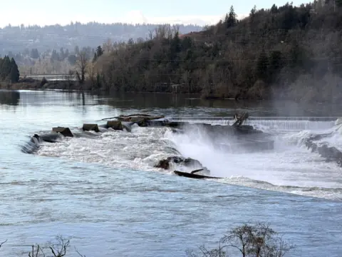 Willamette Falls29 mi straight-line, by our mathPartly open40FT
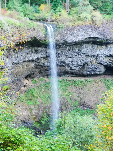 South Falls (Silver Falls)55 mi straight-line, by our mathOpen177FT
City guides: Waterfalls near Portland, OR
On these lists: Dog-friendly waterfalls · Easy waterfall hikes
Sources
- Recreation.gov: Multnomah Falls (I-84) Timed Use Permit (read Oct 27, 2026)
- ODOT: Waterfall Corridor permits (read Oct 27, 2026)
- USDA Forest Service: Multnomah Falls (updated Apr 15, 2026; owner paste Oct 27, 2026)
- USDA Forest Service: Larch Mountain Trail #441
- Multnomah Falls Lodge: hours footer, restaurant and address (read Oct 27, 2026)
- Columbia Area Transit: Columbia Gorge Express
- Explore Troutdale: Visiting Multnomah Falls (drive times, Sasquatch Shuttle, in-person permits)
- Sasquatch Shuttle
- Multnomah Falls Lodge: About the falls
- Wikipedia: Multnomah Falls
- World Waterfall Database: tallest waterfalls in Oregon (read Oct 24, 2026)
Last verified Oct 27, 2026 by The Waterfall Guide editorial team. Conditions change: confirm with U.S. Forest Service, Columbia River Gorge National Scenic Area before you go. Spotted something out of date? Report a correction.