Right now
Right now as of Oct 28, 2026
- Permit No permit needed. Fee: no fee listed.
Status note (Oct 28, 2026): Open. Clark County's park page listed no alerts or closures when checked October 28, 2026. The page shows no last-updated date, so check it before you go. Posted hours are 7 a.m. to dusk. What the status labels mean
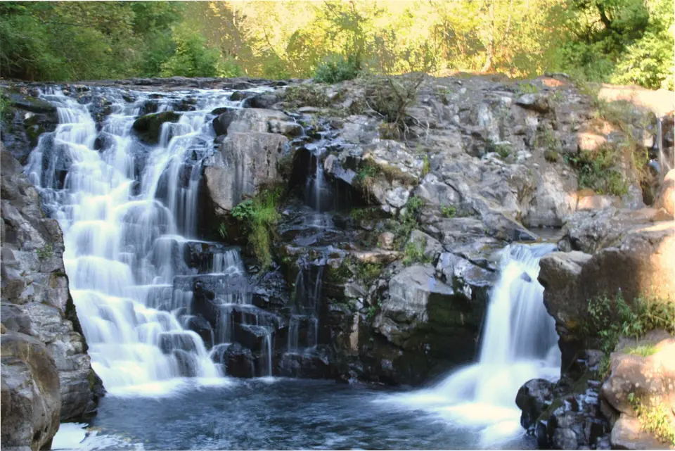
Moulton Falls is a small drop of about 10 feet on the East Fork Lewis River in Moulton Falls Regional Park, near Yacolt in Clark County. Clark County listed no closures on October 28, 2026. The park is open 7 a.m. to dusk, lists no parking fee and sits beside a high arch bridge. Swimming is allowed at your own risk with no lifeguards, but Clark County prohibits diving and jumping from the bridge.
About Moulton Falls
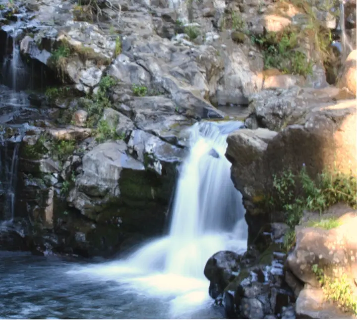
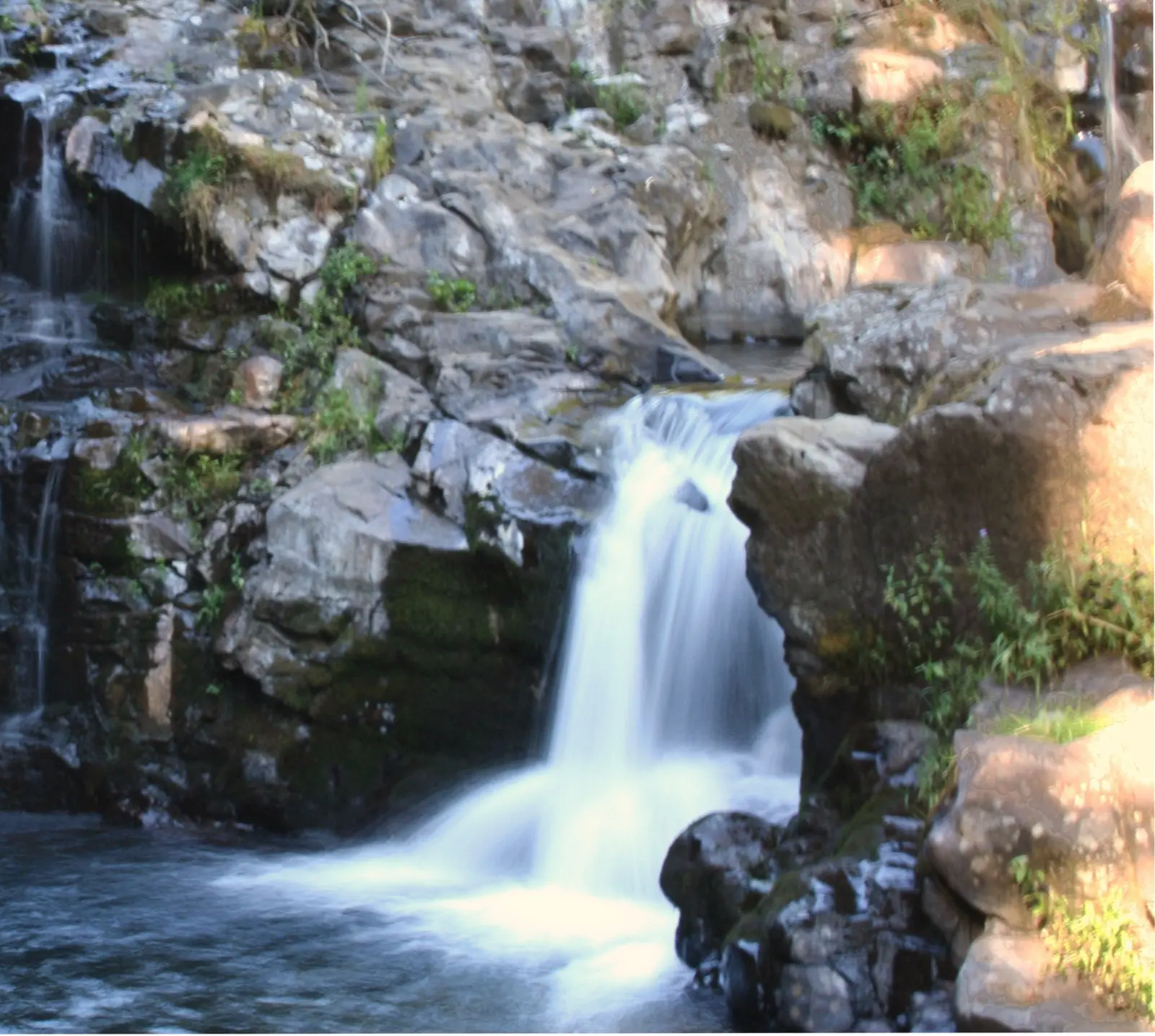
Moulton Falls is a small drop on the East Fork Lewis River. The Northwest Waterfall Survey, as quoted by The Columbian, describes it as about 10 vertical feet down a narrow trough over potholes. At high water it looks more like a rapid.
The falls are the namesake of Moulton Falls Regional Park, a 387-acre Clark County park near Yacolt. The county says the park sits where the East Fork Lewis River meets Big Tree Creek and holds two waterfalls.
The second falls is on Big Tree Creek, and WTA calls it Big Tree Falls. WTA rates it the best of the park's falls. The county lists one barbecue grill, nine picnic tables and one restroom in the park.
Clark County notes volcanic rock formations left by early lava flows. The Chelatchie Prairie Railroad excursion train also passes through the park.
The arch bridge
A wooden arch bridge crosses the East Fork Lewis River in the park. Clark County describes it as more than three stories high, and WTA calls it the best photo spot. No official source we found gives its height in feet.
The bridge was repaired in 2024. In September 2024 the county reopened the trail section and upper parking lot while work continued. On November 20, 2024, it announced the bridge had reopened after minor repairs to keep it structurally sound and a fresh coat of stain.
Diving and jumping from the bridge are prohibited, the county says.
Getting there and parking
Moulton Falls Regional Park is at 27781 NE Lucia Falls Road, Yacolt, with 47 parking spaces and no listed parking fee.
From Vancouver and Portland
WTA's route from Vancouver: take I-5 to exit 11 and follow WA-502 east to Battle Ground. Turn left on WA-503 north for 5.5 miles, then turn right on NE Rock Creek Road. The park is on the right, about 8 miles from WA-503.
We found no official drive time from Vancouver or Portland, so check a map before you leave.
Main lot, overflow and the Hantwick Road trailhead
The park address is 27781 NE Lucia Falls Road, Yacolt, WA 98675. Clark County lists 47 parking spaces plus 2 disabled stalls.
When the main lot fills, WTA suggests an overflow lot near Lucia Falls Road and Sunset Falls Road. From there it's a short, steep descent to the river.
WTA says you can also continue half a mile past the falls to the Hantwick Road trailhead, which has toilets.
Clark County lists no parking fee here. Its $5 daily parking fee for 2026 applies only at Frenchman's Bar, Lewisville, Salmon Creek/Klineline Pond and Vancouver Lake.
Across the Columbia River in Oregon, the Columbia River Gorge has more waterfalls, including Latourell Falls and Multnomah Falls.
Map and nearby falls
Map loads as you scroll. Open in OpenStreetMap
OpenPartly open / seasonalUnconfirmedClosedLarger map
The East Fork Lewis River Trail and arch bridge
To Moulton Falls: the falls are a short side trip off the path from the parking lot. WTA says a side path branches off partway down the hill, and the bridge is down a short, steep pitch. No source gives an exact distance.
WTA's full hike: 4.0 miles round trip with about 90 feet of gain. It takes in the arch bridge and Big Tree Falls as well as Moulton Falls.
Longer options: Clark County says a 2.5-mile trail connects the park to Lucia Falls Regional Park. The park is also a gateway to the 7.5-mile Bells Mountain Trail.
Restrooms and dogs: the county lists one restroom in the park, and WTA notes toilets at the Hantwick Road trailhead. WTA says dogs are allowed on a leash; the county page doesn't state a dog policy.
When to visit
Clark County lists park hours of 7 a.m. to dusk. Its park page listed no alerts or closures as of October 28, 2026.
Summer swimming season and high water
WTA says the smooth rocks and small pools make this a favorite summertime place for locals to swim and sun. Expect a busy lot on hot weekends.
The USGS gauge on the East Fork Lewis River, charted on this page, shows flow highest from December to February and lowest in August. At high water the falls flatten into something closer to a rapid.
The sources we checked don't name a best month to see the falls.
When is the water highest?
At a USGS stream gauge about 3.7 mi from the falls, the flow averages highest in January and lowest in August, based on 30 years of records (1996 to 2025).
Show the numbers
| Month | Average flow (cfs) |
|---|---|
| January | 1,501 |
| February | 1,184 |
| March | 1,159 |
| April | 937 |
| May | 614 |
| June | 370 |
| July | 128 |
| August | 72 |
| September | 94 |
| October | 317 |
| November | 1,054 |
| December | 1,442 |
| Height | 10 ftNote: about 10 vertical ft per the Northwest Waterfall Survey, as quoted by The Columbian; more of a rapid at high water |
|---|---|
| Trail | Short side trip off the path from the lot. WTA's full hike is 4.0 mi round trip with about 90 ft of gain, including the arch bridge and Big Tree Falls |
| Difficulty | Easy |
| Entry fee | No parking fee listed; Moulton Falls is not one of the four Clark County parks with a 2026 parking fee |
| Permit / reservation | None needed |
| Parking | 47-space lot plus overflow lot |
| Hours / season | 7 a.m. to dusk (Clark County) |
| Dogs | Allowed on a leash, per WTA; the county page lists no dog policy |
| Swimming | Allowed at your own risk with no lifeguards; diving and jumping from the arch bridge are prohibited (Clark County) |
| Walk behind the falls | No |
| Restrooms | 1 restroom in the park (Clark County); toilets also at the Hantwick Rd trailhead (WTA) |
| Crowds | WTA calls it a favorite summertime place for locals to swim and sun |
| Managed by | Clark County Public Works (Moulton Falls Regional Park) |
Safety and swimming
Swimming is allowed at your own risk, and there are no lifeguards. Clark County warns of swift currents, varying depths, sudden drop-offs and hidden obstacles in the river.
The county also warns that the water is cold, even when it reaches 60 degrees F, and that cold water can cause involuntary gasping. It recommends wearing a life jacket.
Diving and jumping from the arch bridge are prohibited. Clark County says people have been seriously injured jumping from it, including a high-profile case in summer 2018. Do not jump or dive here.
Our waterfall safety guide has more on cold water and river currents.
Where to stay near Moulton Falls
Compare hotels, cabins and rentals close to the falls around Yacolt.
See places to stay nearbyAffiliate link: we may earn a commission at no cost to you. Partners do not see or change our waterfall facts. Disclosure.
Photos

Moulton Falls FAQ
Is Moulton Falls Regional Park open?
Yes, as of October 28, 2026, when Clark County's park page listed no alerts or closures. The page shows no last-updated date, so check it before you go. Posted hours are 7 a.m. to dusk.
Can you swim at Moulton Falls?
Yes, at your own risk. There are no lifeguards. Clark County warns of swift currents, cold water and sudden drop-offs, and recommends a life jacket.
Can you jump off the Moulton Falls bridge?
No. Clark County prohibits diving and jumping from the arch bridge, which it describes as more than three stories high. People have been seriously injured doing it, including a high-profile case in summer 2018. The bridge reopened in November 2024 after repairs.
How long is the hike at Moulton Falls?
The falls themselves are a short side trip down the hill from the main lot. WTA's full hike is 4.0 miles round trip with about 90 feet of gain, taking in the arch bridge and Big Tree Falls. The trail to Lucia Falls is 2.5 miles each way (Clark County).
Is there a parking fee at Moulton Falls?
None is listed. Clark County's 2026 $5 daily parking fee applies only at Frenchman's Bar, Lewisville, Salmon Creek/Klineline Pond and Vancouver Lake.
What are Moulton Falls Regional Park hours?
7 a.m. to dusk, per Clark County.
How tall is Moulton Falls?
About 10 vertical feet, down a narrow trough, according to the Northwest Waterfall Survey as quoted by The Columbian. At high water it looks more like a rapid.
Are dogs allowed at Moulton Falls?
Yes, on a leash, according to WTA. The Clark County park page doesn't list a dog policy.
Nearby waterfalls
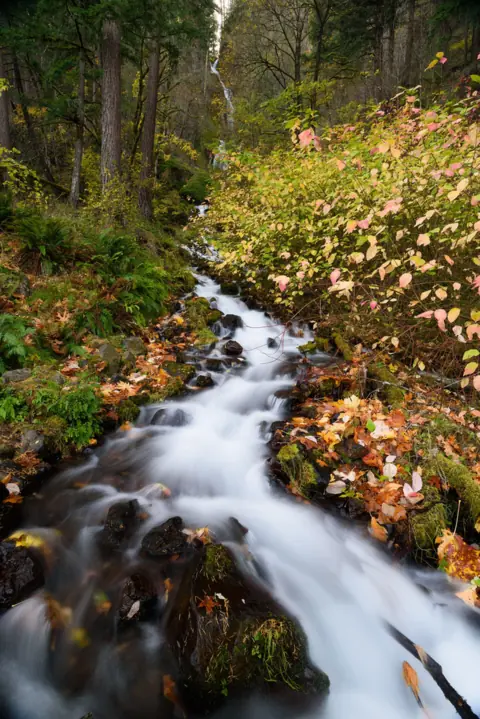 Wahkeena Falls22 mi straight-lineOpen242FT
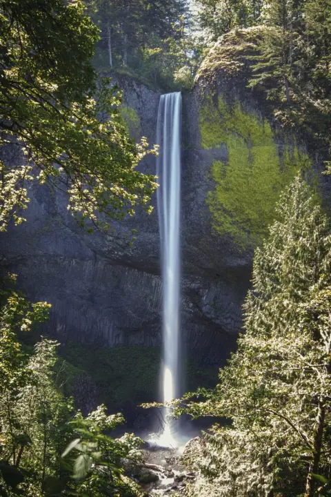 Latourell Falls22 mi straight-lineOpen224FT
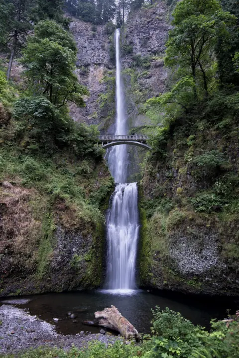 Multnomah Falls22 mi straight-lineOpen620FT
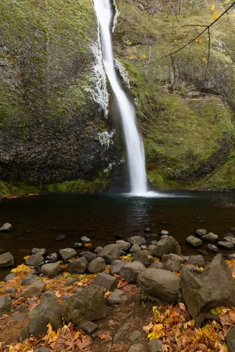 Horsetail Falls23 mi straight-lineOpen176FT
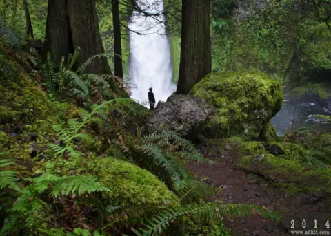 Wahclella Falls26 mi straight-lineOpen60FT
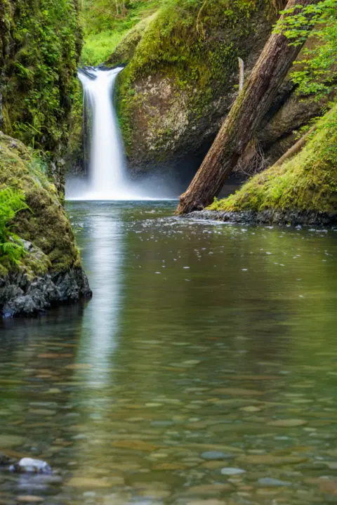 Punch Bowl Falls28 mi straight-lineOpen35FT
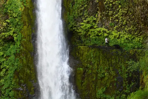 Tunnel Falls31 mi straight-lineOpen
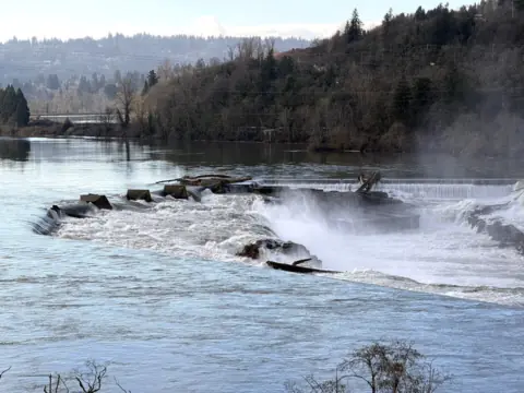 Willamette Falls35 mi straight-linePartly open40FT
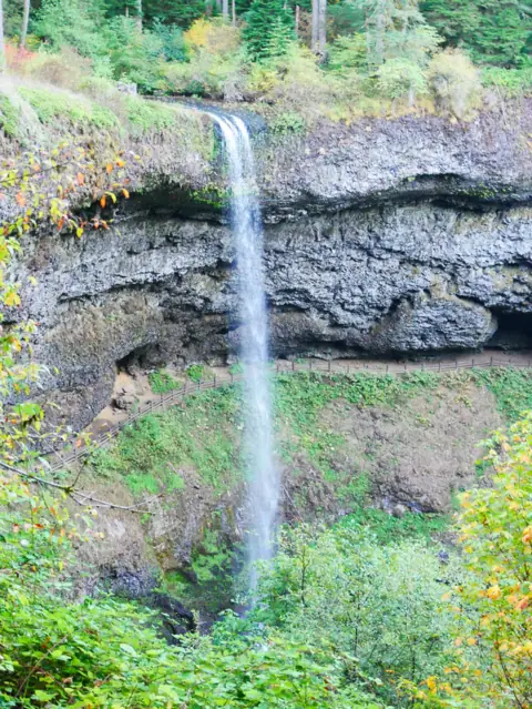 South Falls (Silver Falls)67 mi straight-lineOpen177FT
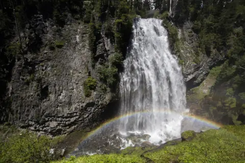 Narada Falls72 mi straight-lineOpen168FT
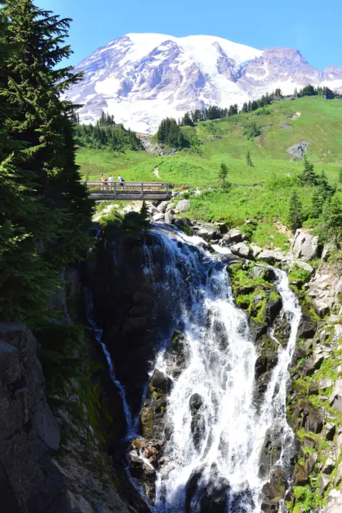 Myrtle Falls73 mi straight-lineOpen60FT
City guides: Waterfalls near Portland, OR
On these lists: Dog-friendly waterfalls · Waterfalls you can swim in
Sources
- Clark County: Moulton Falls Regional Park (read Oct 28, 2026)
- Clark County: Parking fees (2026)
- WTA: Moulton Falls
- The Columbian: Clark County waterfall day trips (May 2, 2015)
- Oregon Hikers Field Guide: Moulton Falls (coordinates)
- Clark County: Moulton Falls bridge repair continues; upper parking lot and trailhead reopen (Sept 20, 2024)
- Clark County: Bridge and trail reopen at Moulton Falls Regional Park (Nov 20, 2024)
Last verified Oct 28, 2026 by The Waterfall Guide editorial team. Conditions change: confirm with Clark County Public Works (Moulton Falls Regional Park) before you go. Spotted something out of date? Report a correction.