Right now
Right now as of Oct 28, 2026
- Permit No permit needed. Entry fee: Day pass or NW Forest Pass.
- Heads-up Restrooms at Big John closed for the season (Forest Service, updated Sep 16, 2026).
Status note (Oct 28, 2026): Open. The Forest Service Eagle Creek page (updated September 16, 2026) shows Site Open, with the restrooms at Big John closed for the season. Connecting trails toward Ruckel Creek and Tanner Butte remain closed. The trail had closed after December 2025 storms. What the status labels mean
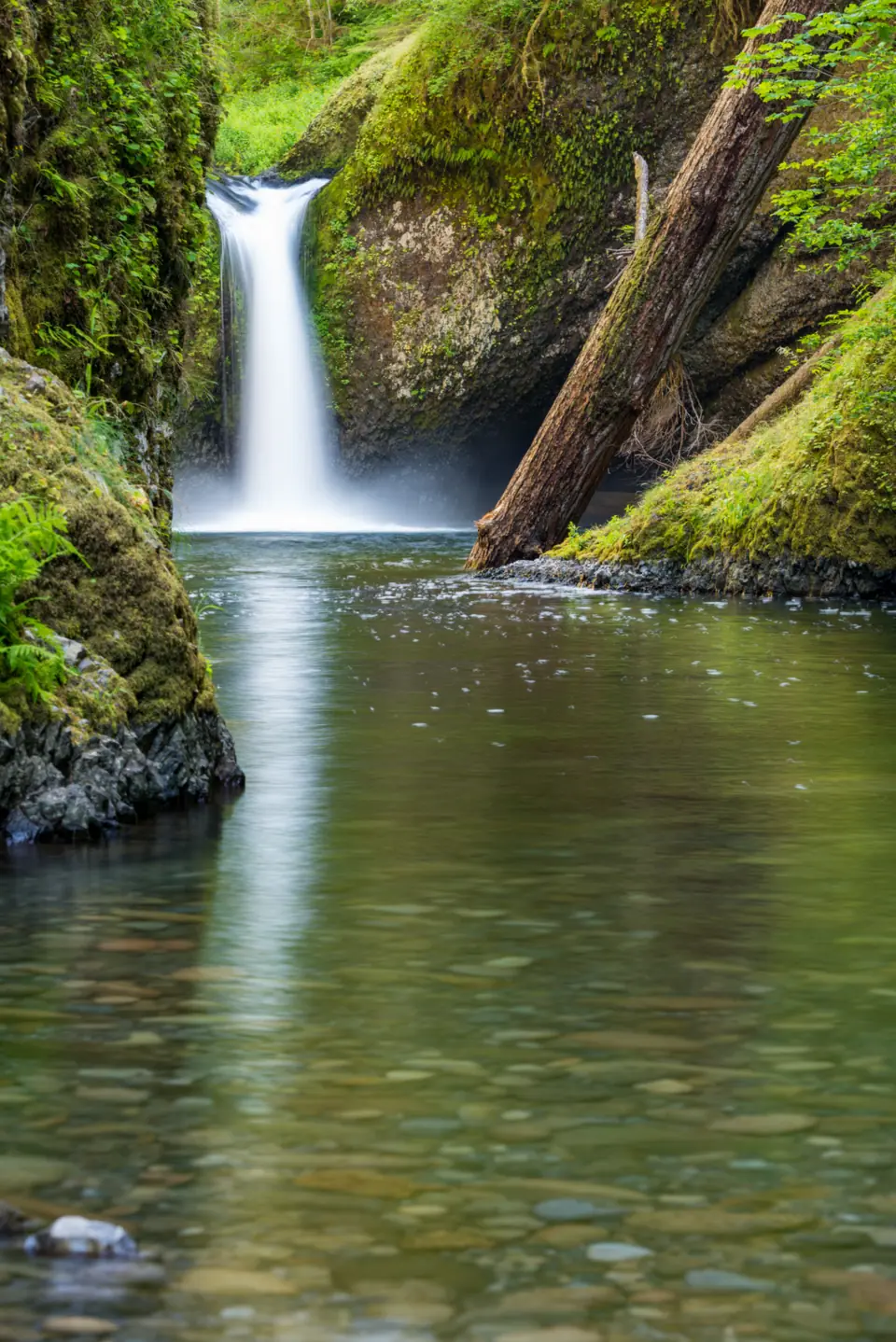
Punch Bowl Falls is a 35-foot waterfall on Eagle Creek in the Columbia River Gorge, reached by a side trail about 2 miles up Eagle Creek Trail #440. The round trip is about 3.8 miles. The Forest Service lists the site as open after storm damage closed the trail in December 2025. Parts of the trail have sheer cliffs without handrails. A recreation pass is required to park.
About Punch Bowl Falls
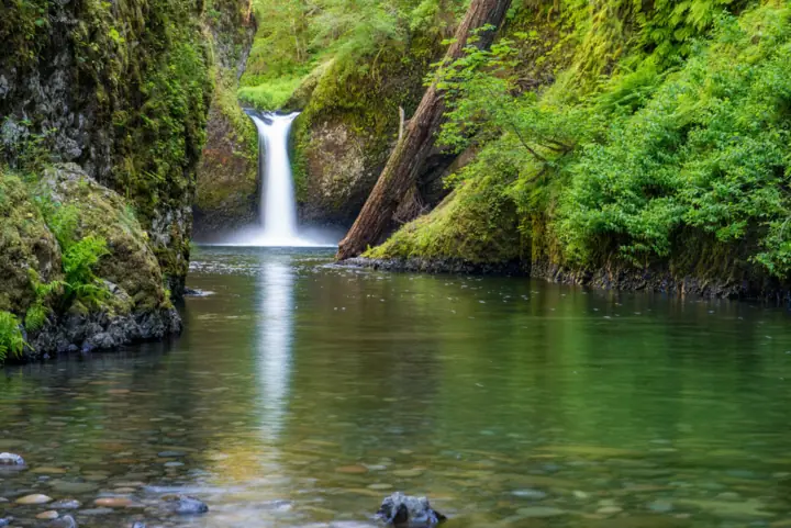
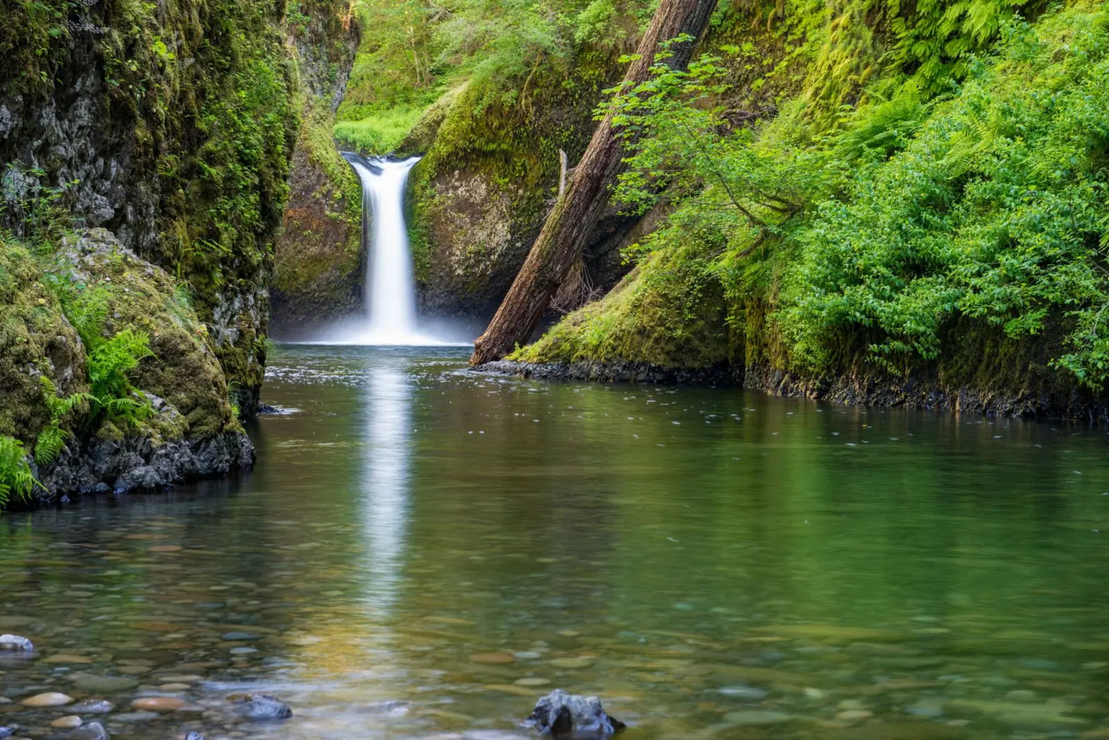
Punch Bowl Falls is where the "punchbowl" waterfall type got its name. Eagle Creek narrows and shoots into a wide, round pool, according to Wikipedia. Wikipedia gives the height as 35 feet, while Friends of the Columbia Gorge says 33 feet.
A smaller drop sits just downstream. Friends of the Columbia Gorge puts Lower Punch Bowl Falls at about 12 feet and calls it popular with swimmers.
The falls are in Hood River County, near Cascade Locks.
Eagle Creek Fire closures and storm repairs
The creek here has changed in recent years. In 2017 a cliff collapsed between Punch Bowl and Lower Punch Bowl Falls and shifted the flow of the creek, per Wikipedia.
The Forest Service still lists an Eagle Creek Fire area closure order. Its Eagle Creek page says the Ruckel Creek, Tanner Butte #401, Eagle-Tanner #433 and Tanner Cutoff #448 trails remain closed. Eagle Creek Trail #440 itself is open.
Storms hit the trail hard in late December 2025. Backpacker reported that the Forest Service found more than 90 fallen trees and about 3 feet of mud on the first section. One tree destroyed the safety rail and cables at Punch Bowl Falls.
Getting there and parking
Punch Bowl Falls starts at the Eagle Creek Trailhead off I-84 Exit 41, where a recreation pass is required to park.
From Portland
The Forest Service says to take I-84 east to Exit 41, just past the interstate tunnel. WTA advises getting into the right lane before the tunnel. Follow the signs to the Eagle Creek Trailhead and picnic area.
Coming from Cascade Locks, there is no westbound Exit 41, the Forest Service says. Take Exit 40, then get back on I-84 eastbound and take Exit 41.
Parking and passes
The trailhead lot is small and fills. Friends of the Columbia Gorge says the overflow is the large lot near the restroom and fish hatchery, which adds about 1 mile round trip. The road runs 0.6 mile from the ramp to the trailhead.
The Forest Service lists accessible parking but no potable water. The restrooms at Big John were closed for the season as of its September 16, 2026 update.
WTA says you pay at the trailhead kiosk with cash or a check, or on Recreation.gov using a QR code. It adds that a Northwest Forest Pass or America the Beautiful pass also works. Check the Forest Service page for the current day-pass price.
Wahclella Falls is one exit west at I-84 Exit 40, a shorter hike on the same pass. Horsetail Falls on the Historic Columbia River Highway is free.
Map and nearby falls
Map loads as you scroll. Open in OpenStreetMap
OpenPartly open / seasonalUnconfirmedClosedLarger map
Eagle Creek Trail to Punch Bowl Falls
To the Punch Bowl junction: the Forest Service says Punch Bowl Falls is reached by a side trail about 2 miles up Eagle Creek Trail #440. Friends of the Columbia Gorge puts the signed junction at about 1.9 miles. That makes about 3.8 miles round trip, with about 600 feet of gain.
The overlook: WTA says the trail soon reaches the Punch Bowl Falls Overlook past the junction.
Lower Punch Bowl Falls detour
From the junction, the Lower Punchbowl spur (#440B) heads downhill to the lower falls; WTA lists it as a 0.4-mile detour with about 170 feet of elevation change. Reaching the base of Punch Bowl Falls itself means scrambling along the shore or wading and swimming.
How hard is it: cliff-edge sections
Friends of the Columbia Gorge rates the walk to Punch Bowl as easy. The Forest Service notes the gentle overall grade but says sheer cliffs have no handrails on parts of the trail. It doesn't recommend the hike for children or anyone afraid of heights.
Farther in: the Forest Service places High Bridge about 3 miles up, crossing a narrow gorge 150 feet above the creek. It puts Tunnel Falls about seven miles up; WTA lists about 5.7 miles. Around mile 5 you enter wilderness, where a free permit is required, available at the boundary.
When to visit
The Forest Service Eagle Creek page, last updated September 16, 2026, shows the site as open. Its Gorge alerts list showed no Eagle Creek Trail closure in late October 2026.
Earlier, the trail closed after the late-December 2025 storms. Backpacker reported in January 2026 that it would be closed for months. A late-August 2026 syndicated news item said the closure would last through October.
Eagle Creek Trail is one of the most popular trails in the Gorge, and the Forest Service warns it can be crowded on summer weekends. Check the alerts page before you drive out. We couldn't find official hours for the trailhead.
| Height | 35 ftNote: per Wikipedia; Friends of the Columbia Gorge gives 33 ft, and Lower Punch Bowl Falls is about 12 ft |
|---|---|
| Trail | About 3.8 mi round trip to the Punch Bowl junction on Eagle Creek Trail #440, about 600 ft of gain (Friends of the Columbia Gorge). The Forest Service puts the Punch Bowl side trail about 2 mi up |
| Difficulty | Rated easy by Friends of the Columbia Gorge, but narrow cliff-edge sections; not for young children |
| Entry fee | A Northwest Forest Pass or America the Beautiful pass, or a day pass paid at the trailhead kiosk, per WTA. Oregon State Parks permits are not valid. |
| Permit / reservation | No hiking permit; a recreation pass is needed to park |
| Parking | Small Eagle Creek Trailhead lot, I-84 Exit 41 |
| Dogs | Must be on a leash (Forest Service); Friends of the Columbia Gorge says 6 ft max. Not recommended because of cliff exposure |
| Swimming | The Forest Service lists no swim rule; WTA says cliff diving is prohibited along the Eagle Creek Trail. Friends of the Columbia Gorge calls Lower Punch Bowl popular with swimmers. |
| Wheelchair / stroller | No accessible trail listed |
| Walk behind the falls | No |
| Restrooms | Restrooms at Big John closed for the season (Forest Service, updated Sep 16, 2026); no potable water |
| Managed by | U.S. Forest Service, Columbia River Gorge National Scenic Area |
Safety and swimming
On August 1, 2026, a 19-year-old man died after falling an estimated 50 to 80 feet from a cliff above Punch Bowl Falls. The Hood River County Sheriff's Office said he had left the trail and tried to climb down the rock face to the base. Stay on the trail.
Sheer cliffs have no handrails on parts of the trail, the Forest Service says, so it doesn't recommend the hike for children or anyone afraid of heights. Backpacker reported that the 2025 storms destroyed the safety rail at Punch Bowl Falls, and we found no notice of its repair.
WTA says cliff diving is prohibited along the Eagle Creek Trail. A Forest Service order from July 15, 2026 bans drones from taking off or landing at developed recreation sites. Friends of the Columbia Gorge calls Lower Punch Bowl popular with swimmers; if you go in, expect cold water and slick rock.
The Forest Service requires all dogs to be leashed. WTA, citing the Forest Service, says unleashed dogs fall into the ravine every year. Friends of the Columbia Gorge gives a 6-foot leash limit and doesn't recommend bringing dogs on this hike.
There is no drinking water at the trailhead, per the Forest Service. See our waterfall safety guide for more on swimming near falls.
Where to stay near Punch Bowl Falls
Compare hotels, cabins and rentals close to the falls around Cascade Locks.
See places to stay nearbyAffiliate link: we may earn a commission at no cost to you. Partners do not see or change our waterfall facts. Disclosure.
Photos

Punch Bowl Falls FAQ
Is the Eagle Creek Trail to Punch Bowl Falls open?
Yes, by the Forest Service's account. Its Eagle Creek page, updated September 16, 2026, shows Site Open, with the Big John restrooms closed for the season. Several connecting trails toward Ruckel Creek and Tanner Butte remain closed. The trail had closed after December 2025 storms.
How long is the hike to Punch Bowl Falls?
About 3.8 miles round trip to the signed Punch Bowl junction, with about 600 feet of climbing, per Friends of the Columbia Gorge. The Forest Service puts the side trail about 2 miles up. WTA says the trail soon reaches the overlook past the junction.
How hard is the hike to Punch Bowl Falls?
Easy by grade, per Friends of the Columbia Gorge, but exposed. The Forest Service says sheer cliffs have no handrails on parts of the trail. It doesn't recommend the hike for children or anyone afraid of heights.
Do you need a pass for Eagle Creek?
Yes. WTA lists a Northwest Forest Pass or America the Beautiful pass, or a day pass paid at the trailhead kiosk. Oregon State Parks permits don't count.
Can you swim at Punch Bowl Falls?
No cliff diving: WTA says it is prohibited along the Eagle Creek Trail. Friends of the Columbia Gorge calls Lower Punch Bowl popular with swimmers, and reaching the upper falls' base means scrambling or wading. Expect cold water and slick rock.
Are dogs allowed on the Eagle Creek Trail?
Yes, but the Forest Service requires all dogs to be leashed, and Friends of the Columbia Gorge gives a 6-foot limit. WTA, citing the Forest Service, says unleashed dogs fall into the ravine every year.
How do you get to Punch Bowl Falls from Portland?
Take I-84 east to Exit 41, just past the interstate tunnel, per the Forest Service. There is no westbound Exit 41, so from Cascade Locks use Exit 40 and double back. The trailhead is 0.6 mile from the ramp, per Friends of the Columbia Gorge.
Is Punch Bowl Falls dangerous?
It can be. On August 1, 2026, a 19-year-old died after leaving the trail and trying to climb down the cliff above the falls, the Hood River County Sheriff's Office said. Parts of the trail have sheer drops without handrails. Stay on the trail.
Nearby waterfalls
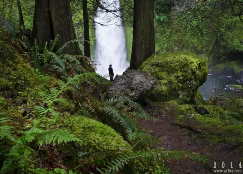 Wahclella Falls3 mi straight-lineOpen60FT
 Tunnel Falls3 mi straight-lineOpen
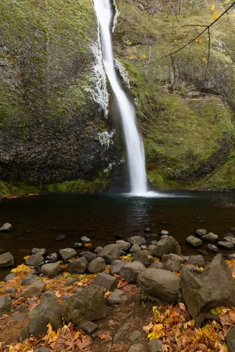 Horsetail Falls9 mi straight-lineOpen176FT
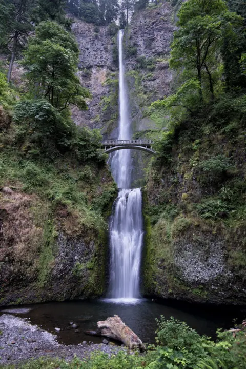 Multnomah Falls11 mi straight-lineOpen620FT
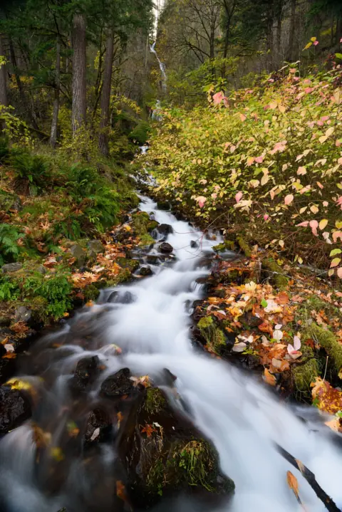 Wahkeena Falls12 mi straight-lineOpen242FT
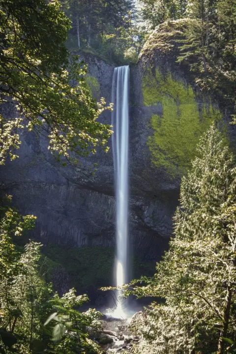 Latourell Falls17 mi straight-lineOpen224FT
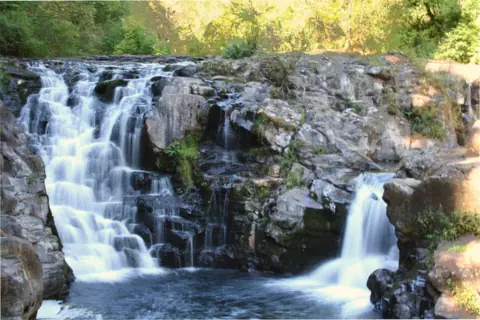 Moulton Falls28 mi straight-lineOpen10FT
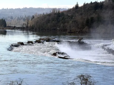 Willamette Falls40 mi straight-linePartly open40FT
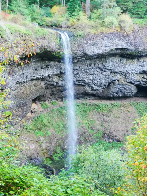 South Falls (Silver Falls)63 mi straight-lineOpen177FT
City guides: Waterfalls near Portland, OR
On these lists: Dog-friendly waterfalls
Sources
Some facts credited to the Forest Service come from search-result excerpts of its official pages. Confirm fees and rules on the official site.
- USDA Forest Service: Eagle Creek Trailhead & Trail #440 (Site Open, updated Sep 16, 2026; read Oct 28, 2026)
- USDA Forest Service: Lower Punchbowl Trail #440B
- WTA: Eagle Creek
- Friends of the Columbia Gorge: Eagle Creek to Punch Bowl Falls
- Backpacker: Oregon's Eagle Creek Trail Will Be Closed for Months (updated Jan 18, 2026)
- Wikipedia: Punch Bowl Falls
- USDA Forest Service: Columbia River Gorge alerts, incl. aircraft/drone closure #06-22-01-26-02 (read Oct 28, 2026)
- Hood River County Sheriff's Office: Fatal fall near Punchbowl Falls (Aug 3, 2026)
- KVAL: Hiker dies after fall near Punchbowl Falls (Aug 3, 2026)
- WTA: Eagle Creek (rules on cliff diving and drones)
- FCC Census Block API: county lookup at the falls coordinates
Last verified Oct 28, 2026 by The Waterfall Guide editorial team. Conditions change: confirm with U.S. Forest Service, Columbia River Gorge National Scenic Area before you go. Spotted something out of date? Report a correction.