Right now
Right now as of Oct 28, 2026
- Permit No permit needed. Entry fee: $5 day pass or NW Forest Pass.
Status note (Oct 28, 2026): Open as last posted. The Forest Service trail page, updated May 1, 2026, shows no closure, and the Gorge alerts list read on October 28, 2026 names none for Wahclella. Check alerts after heavy rain, since storms closed this trail in December 2025. What the status labels mean
Wahclella Falls is a two-tier waterfall on Tanner Creek near Cascade Locks, with a 60-foot lower falls, per the Forest Service. It sits at the end of a 2.4-mile out-and-back hike through a slot canyon. December 2025 storms damaged the trail, but the Forest Service page now posts no closure. Parking costs $5 per vehicle per day or a valid recreation pass, and cash isn't accepted at the trailhead.
About Wahclella Falls
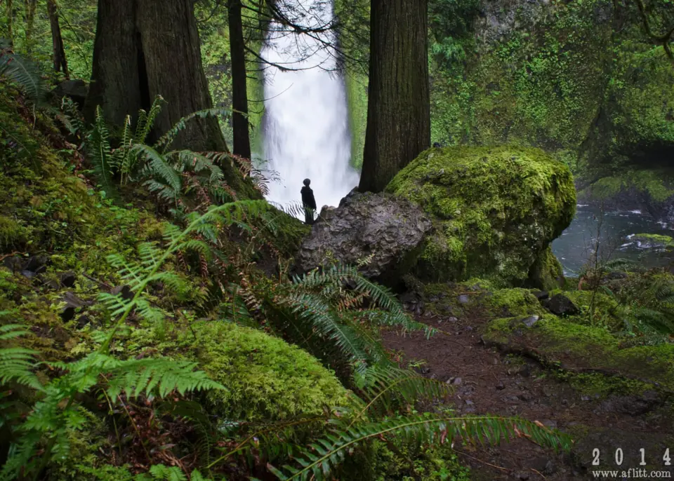
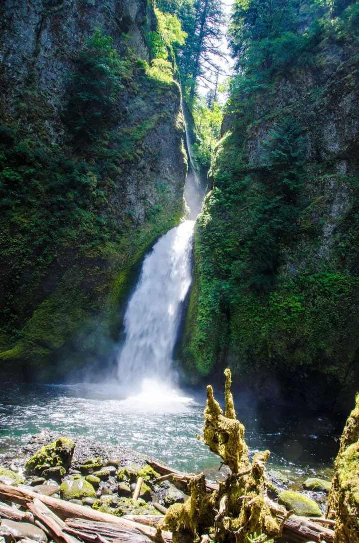
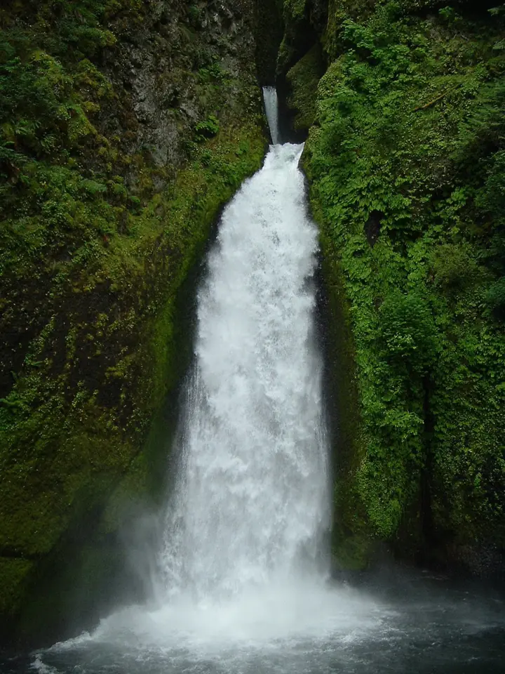
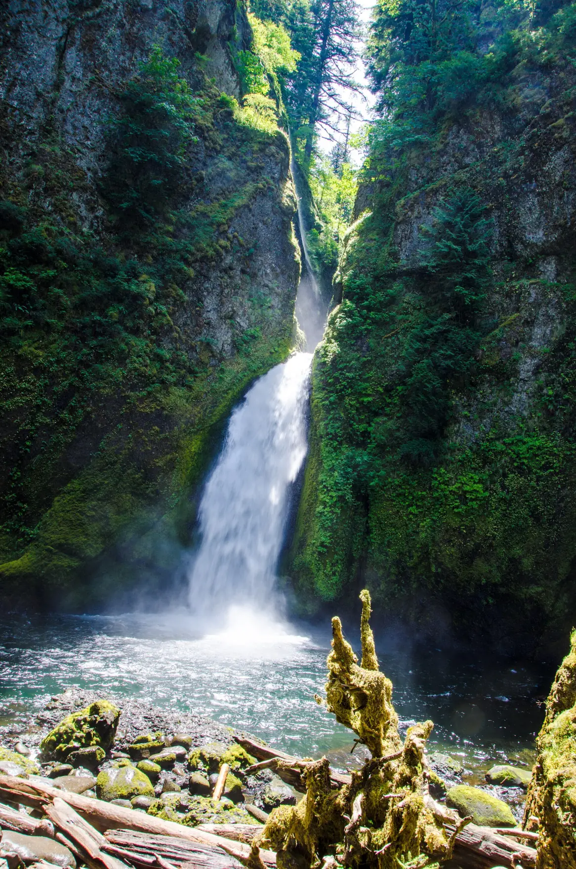
Wahclella Falls drops in two tiers on Tanner Creek. The Forest Service says the upper falls are 15 to 25 feet, and the lower falls plunge 60 feet in a horsetail into a large splash pool.
The trail runs through a slot canyon in the Mark O. Hatfield Wilderness, a short drive from Cascade Locks. In late fall, the Forest Service says you may see spawning salmon at the base of the falls.
Why the trail closed in 2025-26
The trail has closed before. It reopened in August 2019 after the 2017 Eagle Creek Fire. The upper loop stayed closed because of a damaged bridge and washouts, KTVZ reported, citing the AP. The Forest Service says that bridge was replaced in 2020.
Then came the December 2025 atmospheric-river storms. Two trail bridges were heavily damaged and about 150 feet of tread washed out across several sections, Central Oregon Daily reported. The Forest Service trail page, updated May 1, 2026, posts no closure.
Getting there and parking
Wahclella Falls Trailhead is off I-84 Exit 40 near Bonneville Fish Hatchery, and parking costs $5 per vehicle per day or a valid recreation pass.
From Portland
Take I-84 east to Exit 40 (Bonneville Fish Hatchery). The Forest Service says to turn right off the ramp, then right again (south) to the trailhead. From Cascade Locks, turn left (south) off the exit, and the trailhead is on the right.
Exit 40 lot and Tooth Rock overflow
The Wahclella Falls Trailhead lot is small. Overflow parking is at the Tooth Rock Trailhead.
The Forest Service charges $5 per vehicle per day, or you can show a valid recreation pass. Cash and checks are not accepted at the trailhead, so buy a pass before you go or scan the posted QR code to pay.
Punch Bowl Falls on Eagle Creek is a longer cliffside hike just east of here. Horsetail Falls, farther west on the Historic Columbia River Highway, is a free roadside alternative.
Map and nearby falls
Map loads as you scroll. Open in OpenStreetMap
OpenPartly open / seasonalUnconfirmedClosedLarger map
The Wahclella Falls Trail and loop
The trail: the Forest Service calls Trail #436 a relatively easy, 2.4-mile out-and-back through a slot canyon. Friends of the Columbia Gorge rates it moderate, with about 300 feet of gain.
The route: the trail starts on an old gated road beside Tanner Creek and passes a small intake dam for the Bonneville Fish Hatchery. You pass Munra Falls on the way, then enter the Mark O. Hatfield Wilderness.
The loop near the falls
The trail forks after 0.7 miles, the Forest Service says. Friends notes that the end of the trail is a loop, so you hike both sides, and the 2.4 miles includes it. The upper section was heavily damaged in the 2017 fire, and its bridge was replaced in 2020.
The Forest Service lists a portable toilet at the trailhead in summer. Friends of the Columbia Gorge says restrooms are available but gives no season. There's no drinking water, so bring your own.
When to visit
The Forest Service trail page, updated May 1, 2026, posts no closure, and its alerts list had no Wahclella closure on October 28, 2026.
Weather and best season
Watch the weather more than the calendar. The Forest Service advises against hiking here during heavy rain or snow, or within 48 hours after. Those storms can trigger flash floods, falling trees and landslides in the Eagle Creek Fire burn area.
Late fall has a bonus: the Forest Service says spawning salmon gather at the base of the falls then. We found no official guide to the best months for flow.
| Height | 60 ftNote: lower main drop per the Forest Service, which gives 15-25 ft for the upper falls and 60 ft for the lower falls |
|---|---|
| Trail | 2.4 mi out-and-back on Wahclella Falls Trail #436 with about 300 ft of gain; the trail forks at 0.7 mi into a short loop near the falls |
| Difficulty | Relatively easy (Forest Service); moderate (Friends of the Columbia Gorge) |
| Entry fee | $5 per vehicle per day or a valid recreation pass (Forest Service). Cash and checks are not accepted; buy ahead or pay by QR code on arrival |
| Permit / reservation | No hiking permit; a recreation pass is needed to park |
| Parking | Small lot at I-84 Exit 40 |
| Walk behind the falls | No |
| Restrooms | Portable toilet at the trailhead in summer only (Forest Service; Friends of the Columbia Gorge just says yes); no drinking water |
| Managed by | U.S. Forest Service, Columbia River Gorge National Scenic Area |
Safety and swimming
Follow the Forest Service burn-scar advice: stay off the trail during heavy rain or snow and for 48 hours after. It says the risk will stay elevated for up to 10 years after the 2017 fire.
Friends of the Columbia Gorge says there are no cliffs on this trail, but there are some steep drop-offs. Keep a close hand on small children. Watch your footing on sections damaged in the December 2025 storms, and turn back at any closure sign.
The Forest Service bans fires within 200 feet of the trail and bars bikes and motor vehicles. A July 15, 2026 Forest Service order also bans aircraft, including drones, from landing or picking up at developed sites in the Gorge.
We found no swimming or dog rule specific to Wahclella. Keep back from the creek's edge and off wet rock near the falls. See our waterfall safety guide for more.
Where to stay near Wahclella Falls
Compare hotels, cabins and rentals close to the falls around Cascade Locks.
See places to stay nearbyAffiliate link: we may earn a commission at no cost to you. Partners do not see or change our waterfall facts. Disclosure.
Photos
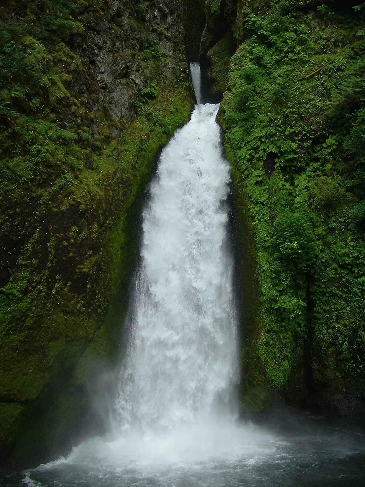


Wahclella Falls FAQ
Is Wahclella Falls open?
Yes, as last posted. The Forest Service trail page, updated May 1, 2026, shows no closure, and its Gorge alerts list named none on October 28, 2026. Check alerts again after heavy rain.
Why was Wahclella Falls closed?
December 2025 atmospheric-river storms heavily damaged two bridges and washed out about 150 feet of tread, Central Oregon Daily reported. Earlier, the 2017 Eagle Creek Fire kept the trail closed until August 2019.
Is it safe to hike Wahclella Falls after rain?
No, not right away. The Forest Service says not to hike here during heavy rain or snow, or within 48 hours after. Those storms can trigger flash floods, falling trees and landslides.
How long is the Wahclella Falls hike?
The Forest Service puts it at 2.4 miles out and back and calls it relatively easy. Friends of the Columbia Gorge lists about 300 feet of climbing and a short loop at the end.
Where do you park for Wahclella Falls, and do you need a pass?
Park at the small trailhead lot off I-84 Exit 40, with overflow at the Tooth Rock Trailhead. The Forest Service charges $5 per vehicle per day or accepts a valid recreation pass. Cash and checks aren't taken, so buy ahead or pay by QR code.
Can you swim at Wahclella Falls?
We found no posted swimming rule. The plunge pool sits in a narrow canyon below a cliff, and the Forest Service warns of flash floods and landslides after storms. Stay out of the water during or after rain.
Are dogs allowed on the Wahclella Falls Trail?
We found no Forest Service dog rule for Trail #436. If you bring a dog, keep it leashed near the steep drop-offs Friends of the Columbia Gorge warns about.
How tall is Wahclella Falls?
60 feet for the lower falls, per the Forest Service, which plunges into a large splash pool. The upper falls are 15 to 25 feet.
Nearby waterfalls
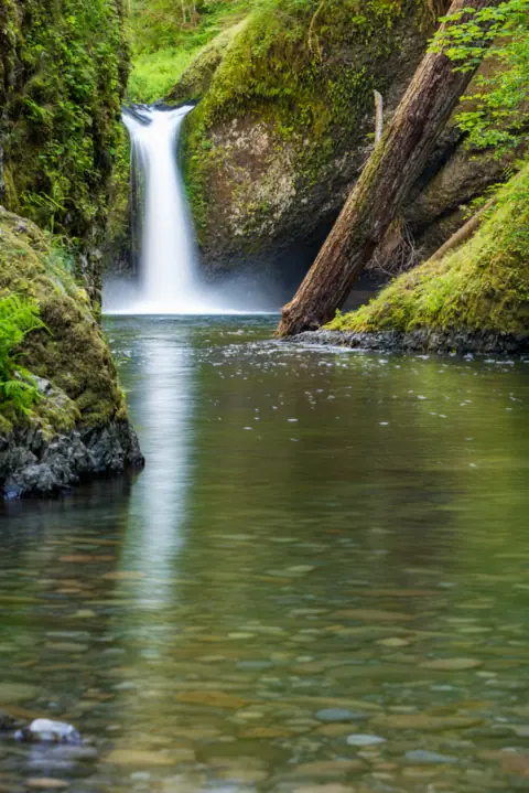 Punch Bowl Falls3 mi straight-lineOpen35FT
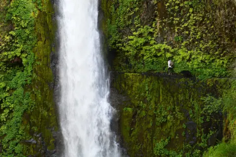 Tunnel Falls5 mi straight-lineOpen
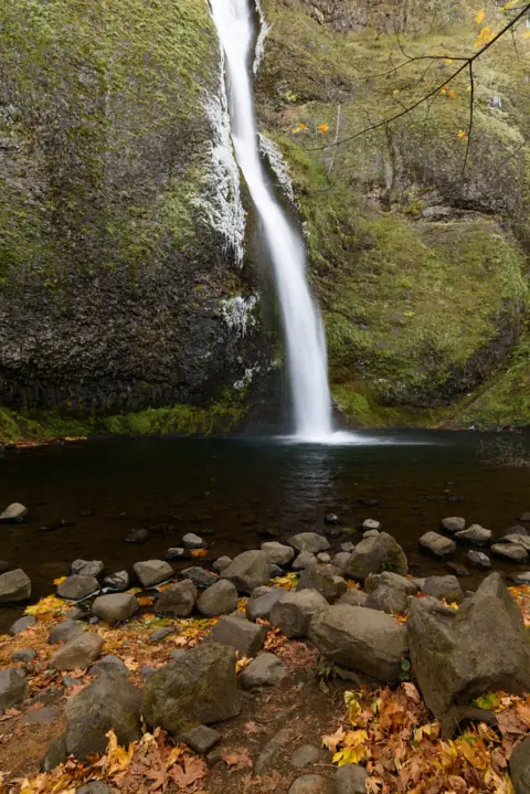 Horsetail Falls6 mi straight-lineOpen176FT
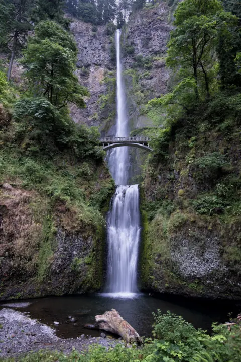 Multnomah Falls9 mi straight-lineOpen620FT
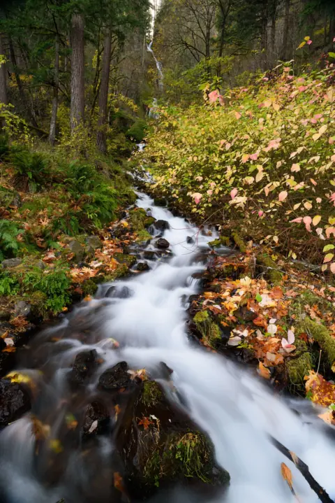 Wahkeena Falls9 mi straight-lineOpen242FT
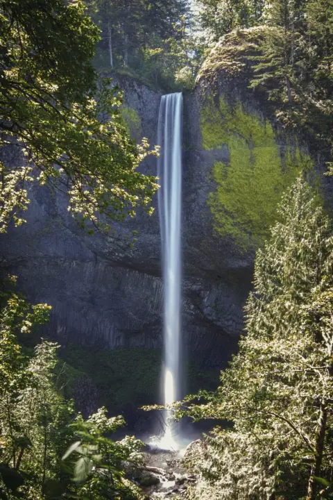 Latourell Falls14 mi straight-lineOpen224FT
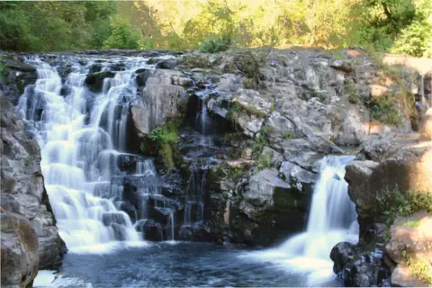 Moulton Falls26 mi straight-lineOpen10FT
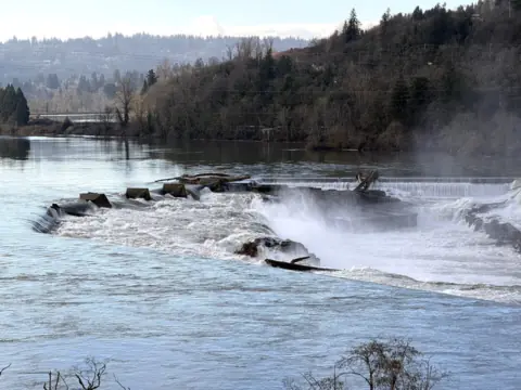 Willamette Falls37 mi straight-linePartly open40FT
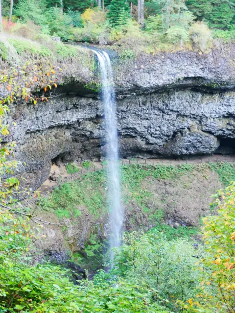 South Falls (Silver Falls)62 mi straight-lineOpen177FT
City guides: Waterfalls near Portland, OR
Sources
Some facts credited to the Forest Service come from search-result excerpts of its official pages. Confirm fees and rules on the official site.
- USDA Forest Service: Wahclella Falls Trail #436 (updated May 1, 2026; read Oct 28, 2026)
- USDA Forest Service: Wahclella Falls Trailhead
- Central Oregon Daily: Oregon's most iconic hikes hammered by storms
- Friends of the Columbia Gorge: Wahclella Falls
- KTVZ (AP): Popular Columbia Gorge waterfall trail reopens (Aug 27, 2019)
- Wikipedia: Wahclella Falls
- USDA Forest Service: Columbia River Gorge alerts (read Oct 28, 2026)
Last verified Oct 28, 2026 by The Waterfall Guide editorial team. Conditions change: confirm with U.S. Forest Service, Columbia River Gorge National Scenic Area before you go. Spotted something out of date? Report a correction.