Right now
Right now as of Oct 28, 2026
- Permit None needed.
Status note (Oct 28, 2026): Open. The Forest Service trail page says the trail is open and asks hikers to use caution around cliffs. The Gorge alerts list (read Oct 28, 2026) names no Horsetail closure. A hiker died in a fall on the trail on August 28, 2026. The Oneonta Gorge creek corridor next door stays closed under a forest order. What the status labels mean
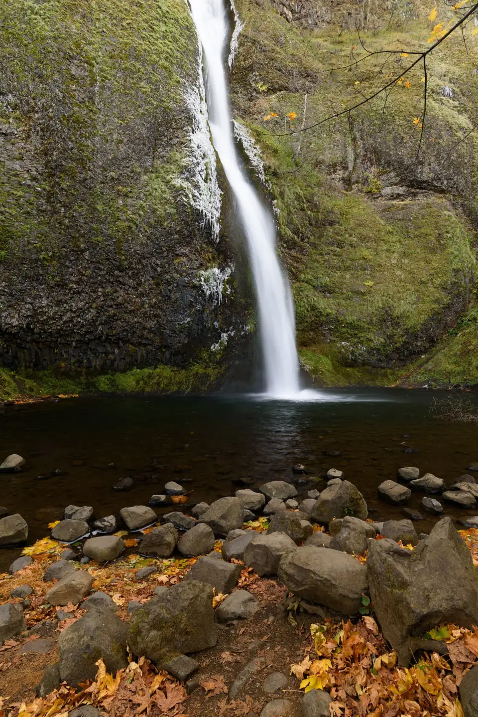
Horsetail Falls is a 176-foot waterfall beside the Historic Columbia River Highway, 2.75 miles east of Multnomah Falls, and you can see it from the free day-use area. No permit or pass is needed. The Forest Service lists the trail open, and its alerts named no Horsetail closure on October 28, 2026. A steep 0.4-mile climb on Trail #438 passes behind Ponytail (Upper Horsetail) Falls and links to the Oneonta Trail. The Oneonta Gorge corridor next door is still closed.
About Horsetail Falls
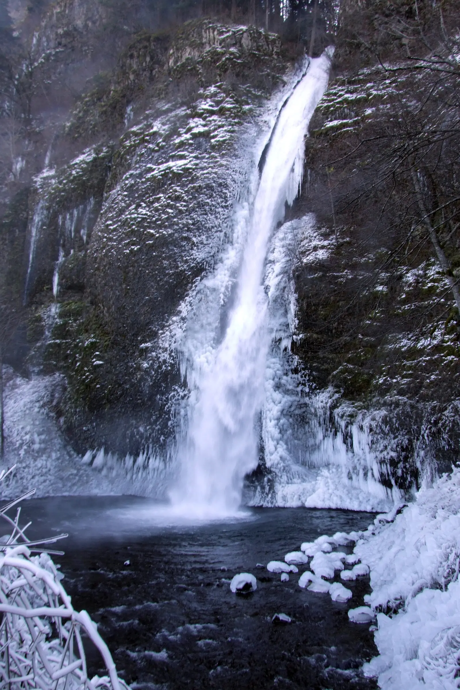
Horsetail Falls plunges 176 feet within sight of the Historic Columbia River Highway, the Forest Service says. Wikipedia gives the same figure. Friends of the Columbia Gorge gives 214 feet, and a historic postcard says 205 feet.
You don't need to hike to see it. The falls are across the road from the parking area. The Forest Service day-use site has a viewing area and picnic tables on that side, and it points to a picnic spot just east of the falls.
The trail behind it leads to a second falls. Horsetail Falls Trail #438 climbs to Ponytail Falls, also called Upper Horsetail Falls, and passes behind it through a basalt overhang, the Forest Service says. You can't walk behind Horsetail Falls itself.
This page covers Horsetail Falls in the Columbia River Gorge, Oregon, not Horsetail Fall in Yosemite National Park, California. For Yosemite, see our Yosemite Falls page.
Getting there and parking
Horsetail Falls is on the Historic Columbia River Highway, 2.75 miles east of Multnomah Falls, with free parking and no permit needed.
From Portland and Multnomah Falls
The Horsetail Falls Trailhead is on the Historic Columbia River Highway (US-30), 2.75 miles east of Multnomah Falls, per the Forest Service.
From Portland, the Forest Service suggests I-84 to Ainsworth Exit 35, which skips the traffic on the Historic Highway near Multnomah Falls. Then follow the Historic Highway west to the lot on the north side, about 1 to 1.6 miles; the Forest Service's two pages give different figures.
You can also come from the west: take Exit 28 (Bridal Veil) and drive about 5.6 miles east on the Historic Highway, per the Forest Service.
Parking and permits
Parking is free, and Friends of the Columbia Gorge says no permit or trailhead pass is needed. In 2026, ODOT's timed-use permits applied only to the Multnomah Falls lot at I-84 Exit 31, not to the Historic Highway. ODOT says 2027 permit details will be posted on its website later.
The lot has ADA spaces, but you must cross the highway to reach the viewing area and picnic tables, the Forest Service says. Shoulder parking isn't allowed on the Historic Highway, so if the lot is full, move on and try again later.
Other Historic Highway stops to the west include Latourell Falls, where Oregon State Parks began charging day-use parking in 2026, and Wahkeena Falls.
Map and nearby falls
Map loads as you scroll. Open in OpenStreetMap
OpenPartly open / seasonalUnconfirmedClosedLarger map
Ponytail Falls and the trail to Triple Falls
Roadside view: Horsetail Falls is at the trailhead. Cross the highway from the lot to the viewing area, and you're there.
Ponytail Falls (0.4 mi each way): the Forest Service calls Trail #438 a short but steep hike. It passes behind the base of Ponytail Falls through a basalt overhang. Plan on about 0.8 miles round trip, and expect steep cliffs in places.
Horsetail Falls loop via Oneonta
Friends of the Columbia Gorge lists a 2.5-mile loop with 660 feet of gain, rated easy. It climbs past Ponytail, follows the bluff into Oneonta Canyon and crosses Oneonta Creek on a metal bridge. Then it drops down the Oneonta Trail.
The loop ends with about half a mile of walking on the Historic Highway, past Oneonta Gorge and through the Oneonta Tunnel. Friends warns that the road is narrow beyond the tunnel parking area.
Triple Falls
Past Ponytail, Trail #438 joins Oneonta Trail #424. The Horsetail-Ponytail-Triple Falls out-and-back is 3.6 miles with 1,446 feet of gain, rated moderate by Friends of the Columbia Gorge.
There are no restrooms at the trailhead, per Friends of the Columbia Gorge. Use facilities before you arrive.
When to visit
The Forest Service lists Horsetail as open, and its Gorge alerts list (read October 28, 2026) names no closure for the falls or Trail #438. Check those alerts before a longer hike, since storms can close Gorge trails at short notice.
We couldn't find official hours, a best-month guide or crowd figures for this site. Because the view is right off the road, it works as a short stop on any Historic Highway drive.
| Height | 176 ftNote: per the Forest Service and Wikipedia; Friends of the Columbia Gorge gives 214 ft and a historic postcard 205 ft |
|---|---|
| Trail | Roadside view across the Historic Highway; steep 0.4 mi each way to Ponytail Falls; 3.6 mi round trip to Triple Falls with 1,446 ft of gain |
| Difficulty | Easy roadside view; steep to Ponytail Falls; moderate to Triple Falls |
| Entry fee | Free. No permit or trailhead pass needed |
| Permit / reservation | None needed; no Historic Highway timed-use permit in 2026 |
| Parking | Free trailhead lot on the Historic Highway |
| Dogs | Allowed on a leash (per Friends of the Columbia Gorge) |
| Swimming | No designated swimming; shallow splash pool at the base |
| Wheelchair / stroller | ADA parking spaces, but you must cross the highway to reach the viewing area; the trail is steep |
| Walk behind the falls | No |
| Restrooms | None at the trailhead (Friends of the Columbia Gorge) |
| Managed by | U.S. Forest Service, Columbia River Gorge National Scenic Area |
Safety and swimming
A hiker died here in 2026. On August 28, 2026, a 70-year-old woman fell about 400 feet and died about half a mile up the trail. KPTV reported it, citing the Multnomah County Sheriff's Office.
KPTV didn't say exactly where she fell; Ponytail Falls is about 0.4 miles up the same trail. The Forest Service posts "Use caution around cliffs" for Trail #438 and warns of steep cliffs in places. Stay on the tread, keep children close and keep dogs on a leash.
Oneonta Gorge is closed. Eagle Creek Fire area order 06-22-01-26-04 closes the area within the walls of Oneonta Gorge. The closed stretch lies between Highway 30 and the Horsetail Falls Trail. The Gorge alerts list still showed it on October 28, 2026. Trespassing was reported in 2024 to carry up to a $5,000 fine or six months in jail.
No drones. A Forest Service order from July 15, 2026 bans aircraft landings and pickups at developed recreation sites in the Gorge, and it counts drones as aircraft.
There's no designated swimming here; the base has a shallow splash pool. Stay off the wet rock around it, and watch for traffic when you cross the Historic Highway from the lot. See our waterfall safety guide for more.
Where to stay near Horsetail Falls
Compare hotels, cabins and rentals close to the falls around Corbett.
See places to stay nearbyAffiliate link: we may earn a commission at no cost to you. Partners do not see or change our waterfall facts. Disclosure.
Photos


Horsetail Falls FAQ
Is Horsetail Falls open?
Yes. The Forest Service trail page says the trail is open and to use caution around cliffs. Its Gorge alerts list, read October 28, 2026, named no Horsetail closure. The Oneonta Gorge creek corridor next door stays closed under a forest order.
Can you drive to Horsetail Falls?
Yes. The falls are visible from the Horsetail Falls Trailhead & Day Use area on the Historic Columbia River Highway, 2.75 miles east of Multnomah Falls. Park on the north side and cross the road to the viewing area.
Do you need a permit to see Horsetail Falls?
No. There's no permit or pass, and trailhead parking is free. In 2026, ODOT's timed-use permits applied only to the Multnomah Falls lot at I-84 Exit 31. ODOT hasn't posted 2027 details yet.
How far is Horsetail Falls from the parking lot?
It's right at the trailhead, across the Historic Highway from the parking area. You cross the road to reach the viewing area.
Can you walk behind Horsetail Falls?
Not Horsetail itself. A steep 0.4-mile climb on Trail #438 takes you behind Ponytail (Upper Horsetail) Falls through a basalt overhang.
Is Oneonta Gorge open?
No. The Oneonta Gorge creek corridor is still closed under the Eagle Creek Fire area forest order. The 2.5-mile Horsetail-Oneonta loop above it is a separate route that uses the trail bridge over Oneonta Creek.
How long are the hikes from Horsetail Falls?
Ponytail Falls is about 0.8 miles round trip. Friends of the Columbia Gorge lists the loop via Oneonta at 2.5 miles with 660 feet of gain. Its out-and-back to Triple Falls is 3.6 miles with 1,446 feet.
Are dogs allowed at Horsetail Falls?
Yes, on a leash, according to Friends of the Columbia Gorge. Keep yours close on the steep, cliffy stretch near Ponytail Falls.
Nearby waterfalls
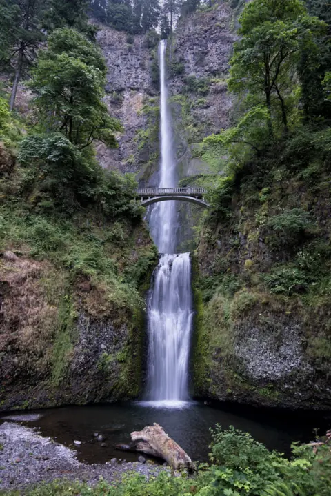 Multnomah Falls2 mi straight-lineOpen620FT
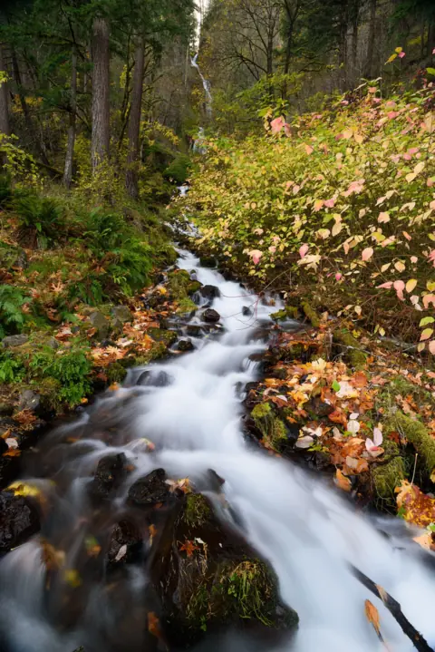 Wahkeena Falls3 mi straight-lineOpen242FT
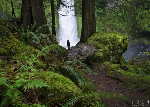 Wahclella Falls6 mi straight-lineOpen60FT
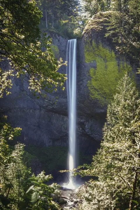 Latourell Falls8 mi straight-lineOpen224FT
 Punch Bowl Falls9 mi straight-lineOpen35FT
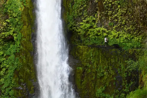 Tunnel Falls10 mi straight-lineOpen
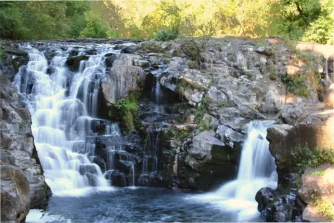 Moulton Falls23 mi straight-lineOpen10FT
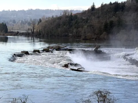 Willamette Falls31 mi straight-linePartly open40FT
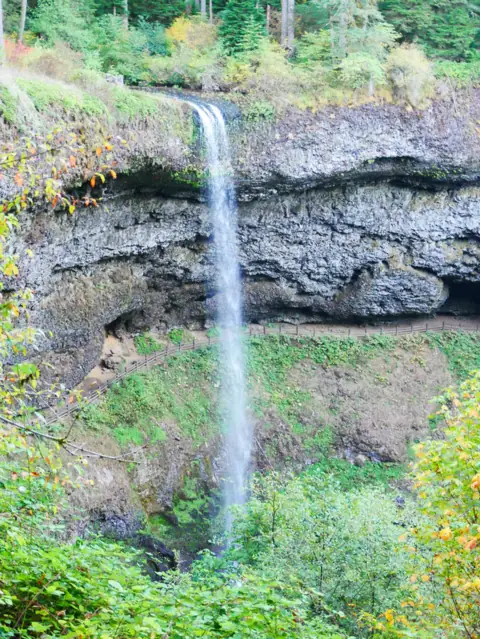 South Falls (Silver Falls)57 mi straight-lineOpen177FT
City guides: Waterfalls near Portland, OR
On these lists: Dog-friendly waterfalls · Easy waterfall hikes · Free waterfalls · Roadside waterfalls
Sources
Some facts credited to the Forest Service come from search-result excerpts of its official pages. Confirm fees and rules on the official site.
- USDA Forest Service: Horsetail Falls Trailhead & Day Use (archived Apr 11, 2026; Site Open)
- USDA Forest Service: Horsetail Falls Trail #438 (updated Sept 29, 2025; read Oct 28, 2026)
- USDA Forest Service: Eagle Creek Fire area closure (archived Apr 11, 2026)
- Friends of the Columbia Gorge: Horsetail, Ponytail & Triple Falls
- Statesman Journal via AOL: Oneonta Gorge likely to stay closed into 2026-27 (Feb 2024)
- Wikipedia: Horsetail Falls (Oregon)
- USDA Forest Service: Columbia River Gorge alerts (read Oct 28, 2026)
- KPTV: 70-year-old woman dies in fall on trail near Horsetail Falls (Aug 28, 2026)
- Friends of the Columbia Gorge: Horsetail Falls Loop
- ODOT: Waterfall Corridor permits (read Oct 28, 2026)
- Oregon Parks and Recreation: More state parks will require day-use parking permits (Feb 20, 2026)
Last verified Oct 28, 2026 by The Waterfall Guide editorial team. Conditions change: confirm with U.S. Forest Service, Columbia River Gorge National Scenic Area before you go. Spotted something out of date? Report a correction.