Right now
Right now as of Oct 18, 2026
- Status Viewpoints are open, but there is no public access to the falls themselves.
- Permit No permit needed. Fee: no fee listed.
Status note (Oct 18, 2026): Viewpoints are open, but there is no public access to the falls themselves. A riverwalk at tumwata village is in design in 2026, with no opening date set. The Willamette Falls Locks remain closed, with no reopening date. What the status labels mean
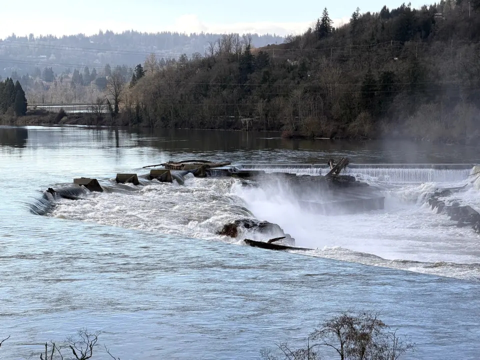
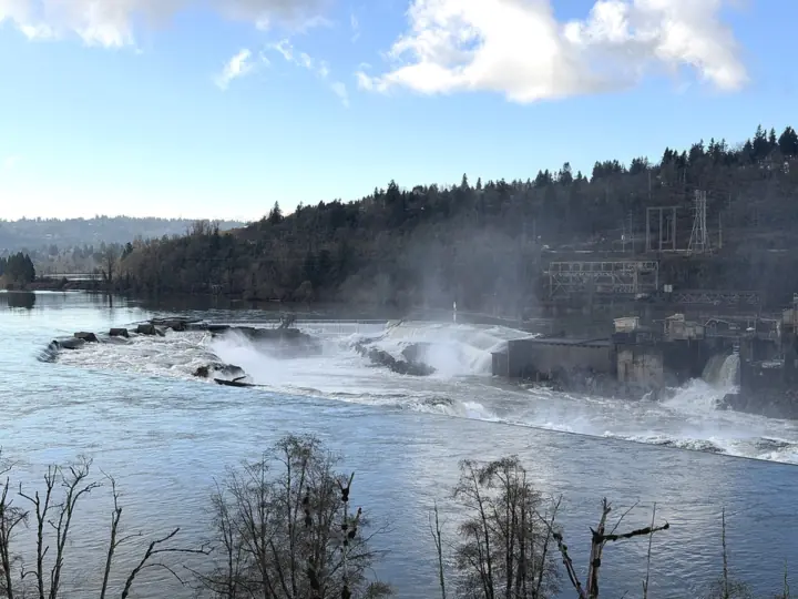
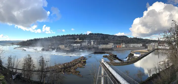
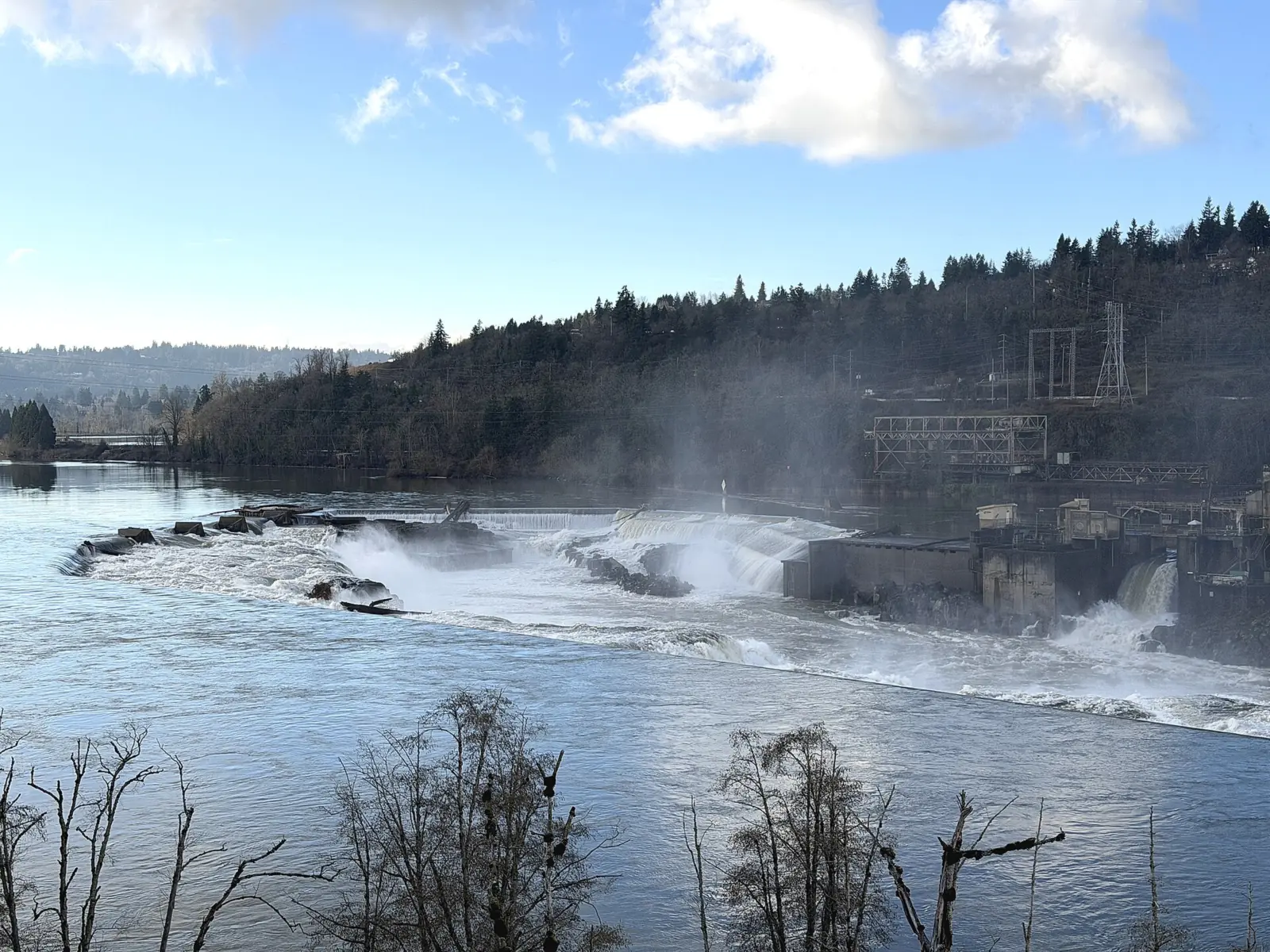
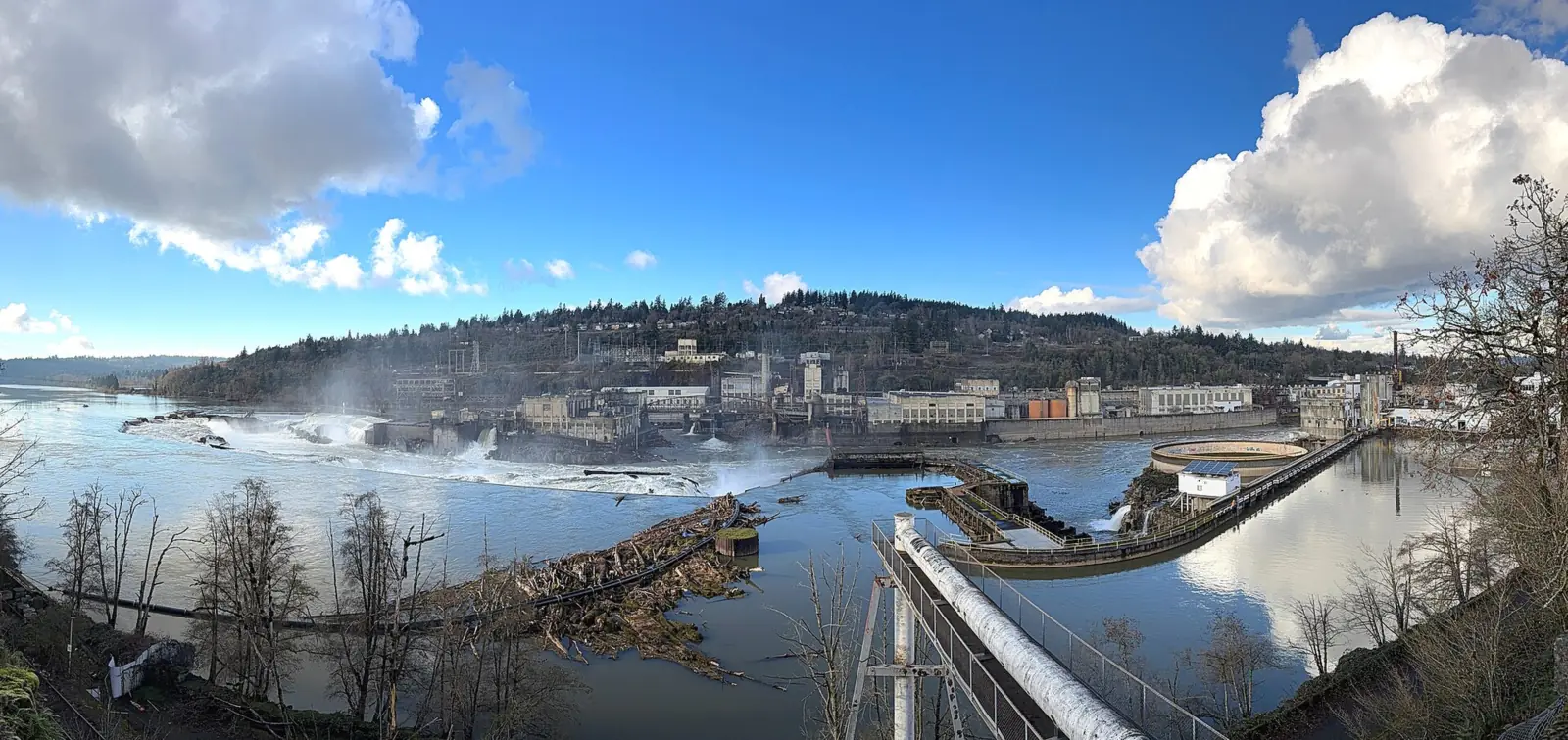
Willamette Falls is a horseshoe-shaped waterfall on the Willamette River in Oregon City, about 40 feet high and 1,500 feet wide. You can't walk to it: industrial land has blocked public access for more than a century. You can see it from the McLoughlin Promenade, reached by the city's free Municipal Elevator, and from a Highway 99E viewpoint. A riverwalk at tumwata village is in design, with no opening date.
About Willamette Falls
By volume, Willamette Falls is the largest waterfall in the Northwest U.S., according to Wikipedia. The river pours about 30,850 cubic feet per second, on average, over a horseshoe about 1,500 feet wide. The drop is only about 40 feet, so the scale comes from width and flow rather than height.
The falls have a long industrial history, per Wikipedia. In 1889 a hydro plant here sent power about 14 miles to Portland, the first long-distance electrical transmission in the U.S. PGE's T.W. Sullivan Plant, built in 1895, still runs.
The falls also matter to Native nations. Tribes still harvest ceremonial salmon and collect lamprey here, per Wikipedia. The Confederated Tribes of Grand Ronde bought the former Blue Heron paper mill site beside the falls in 2019 and renamed it tumwata village.
Fish ladder and daily fish counts
Fish get past the falls through a fishway on the West Linn side, near PGE's Sullivan plant. ODFW says it is three fish ladders that join before exiting above the falls. Wikipedia says the current ladder was built in 1971 and is run by ODFW.
ODFW records fish passage on video 24 hours a day, 365 days a year, and reviews the tapes Monday through Friday. It counts summer and winter steelhead, spring and fall Chinook salmon and coho by species, size and origin. Pacific lamprey use the ladders too but aren't counted.
The counts are posted on ODFW's Willamette Falls Fish Counts page, including a monthly counts PDF for 2026. An older ODFW page holds annual totals back to 1971.
Willamette Falls Locks
The Willamette Falls Locks opened in 1873, per Wikipedia. OPB reported in July 2025 that they have been closed since 2011 and that a state request for repair money had failed. No reopening date has been set.
The City of West Linn says the Willamette Falls Locks Authority was established in 2021 to take over ownership and long-term management of the locks. Its mission is to return them to operation. The Authority is seeking to transfer ownership from the US Army Corps of Engineers by 2027.
How it compares with Niagara Falls
Willamette is wide but short next to Niagara. Wikipedia puts Niagara's Horseshoe Falls at about 187 feet high and about 2,600 feet wide, with an average flow of about 85,000 cubic feet per second for Niagara. That makes the Horseshoe about 4.7 times taller and about 1.7 times wider than Willamette, and Niagara as a whole carries about 2.8 times the flow.
Getting there and parking
There's no trail or path to the falls. Public views come from viewpoints above or across the river, and from boats. The city's main one is the McLoughlin Promenade, a 7.8-acre linear park along the top of the bluff, run by the City of Oregon City.
The easiest way up is the city's free Municipal Elevator, which rises 90 feet from downtown to the promenade. It gives step-free access; the other routes up to the promenade use stairs.
For parking, the city lists a large lot at the south end of the promenade, just north of Tumwater Avenue at 300 Promenade Street. There's also street parking downtown near the elevator, which may be metered.
Other viewpoints include the Willamette Falls viewpoint on Highway 99E just south of downtown, the Oregon City Bridge, and a viewpoint on northbound I-205. You can also see the falls from a boat.
Map and nearby falls
Map loads as you scroll. Open in OpenStreetMap
OpenPartly open / seasonalUnconfirmedClosedLarger map
Viewpoints and the riverwalk plan
Willamette Falls is a viewpoint stop, not a hike. The promenade, the 99E viewpoint and the Oregon City Bridge each look at the horseshoe from a different spot. You can combine two or three in one visit.
The riverwalk is the long-term plan for walking access. The Grand Ronde Tribe broke ground at tumwata village on May 28, 2026, and design of the next riverwalk segment began that summer. No opening date has been set.
If you want a waterfall you can walk right up to near Portland, look east to the Columbia River Gorge. Multnomah Falls and Latourell Falls both have short trails from their parking areas. Horsetail Falls sits right beside the Historic Columbia River Highway.
When to visit
The viewpoints are open all year. Oregon City's elevator hours page lists Sunday 10am to 7pm, Monday and Tuesday 7am to 7pm, and Wednesday to Saturday 7am to 9:30pm. The page is undated, so confirm the hours before you go.
The elevator closes on six holidays: New Year's Day, Memorial Day, July 4, Labor Day, Thanksgiving and Christmas. Operators also take a 10-minute break every 3 hours, per the city.
High water and seasonal flow
The USGS gauge upstream at Wilsonville, charted on this page, shows the river highest from December to February and lowest in August. Winter is when the horseshoe carries the most water.
Public access is changing slowly. On July 30, 2026, the Tribe and Oregon City picked a firm to design the next riverwalk segment, funded with $12.5 million in Oregon State Parks dollars. Plan on the viewpoints for now.
When is the water highest?
At a USGS stream gauge about 7.5 mi from the falls, the flow averages highest in January and lowest in August, based on 24 years of records (1949 to 1972). These are older records from a gauge that no longer reports, so treat them as a rough seasonal guide.
Show the numbers
| Month | Average flow (cfs) |
|---|---|
| January | 61,274 |
| February | 54,182 |
| March | 41,257 |
| April | 30,524 |
| May | 24,395 |
| June | 15,086 |
| July | 8,092 |
| August | 6,571 |
| September | 7,840 |
| October | 13,766 |
| November | 31,260 |
| December | 53,363 |
| Height | 40 ftNote: about 40 ft high across a horseshoe about 1,500 ft wide, per Wikipedia |
|---|---|
| Trail | No trail to the falls; view from the McLoughlin Promenade, the Highway 99E viewpoint, the Oregon City Bridge or a boat |
| Difficulty | Easy viewpoints; no trail to the falls |
| Entry fee | No fee listed for the viewpoints. The Municipal Elevator is free; downtown street parking may be metered |
| Permit / reservation | None needed for the viewpoints |
| Parking | Promenade lot or downtown street parking |
| Hours / season | Municipal Elevator: Sun 10am-7pm; Mon-Tue 7am-7pm; Wed-Sat 7am-9:30pm (undated city page; closed six holidays) |
| Swimming | No public access to the river at the falls |
| Wheelchair / stroller | The Municipal Elevator gives step-free access to the McLoughlin Promenade; other routes up use stairs |
| Walk behind the falls | No |
| Managed by | No public site at the falls (private and industrial land); viewpoints run by the City of Oregon City |
Safety and swimming
There is no public access to the river at the falls, so there's no swimming. Stay on the promenade and at marked viewpoints, and don't try to reach the water through private or industrial land.
At roadside viewpoints, watch for traffic and park only where it's allowed. For general advice on viewing falls safely, see our waterfall safety guide.
Where to stay near Willamette Falls
Compare hotels, cabins and rentals close to the falls around Oregon City.
See places to stay nearbyAffiliate link: we may earn a commission at no cost to you. Partners do not see or change our waterfall facts. Disclosure.
Photos


Willamette Falls FAQ
Can you walk to Willamette Falls?
Not yet. Industrial land has blocked public access to the falls for over a century. A riverwalk at tumwata village is in design in 2026, with no opening date. You can see the falls from the McLoughlin Promenade, the Highway 99E viewpoint and the Oregon City Bridge.
Where is the best place to see Willamette Falls?
The McLoughlin Promenade on the Oregon City bluff, reached by the free Municipal Elevator, or the viewpoint on Highway 99E just south of downtown.
How big is Willamette Falls?
About 40 feet high and 1,500 feet wide. By volume, it's the largest waterfall in the Northwest U.S., averaging about 30,850 cubic feet per second, per Wikipedia.
Is it free to see Willamette Falls?
No fee is listed for the viewpoints, and the Oregon City Municipal Elevator is free. Downtown street parking may be metered.
What is the Willamette Falls riverwalk?
A planned public riverwalk on the former Blue Heron mill site, now tumwata village, owned by the Confederated Tribes of Grand Ronde. Ground was broken on May 28, 2026, and design of the next segment started in July 2026.
Where can I see the Willamette Falls fish count?
On ODFW's Willamette Falls Fish Counts page. Daily counts of steelhead, Chinook and coho come from round-the-clock video at the West Linn fishway, and ODFW reviews the tapes on weekdays. A 2026 monthly counts PDF is posted there.
Is Willamette Falls bigger than Niagara Falls?
No. Willamette is about 40 feet high and 1,500 feet wide, averaging about 30,850 cubic feet per second. Niagara's Horseshoe Falls is about 187 feet high and 2,600 feet wide, and Niagara averages about 85,000 cubic feet per second (Wikipedia).
Are the Willamette Falls Locks open?
No. They have been closed since 2011, OPB reported. The Willamette Falls Locks Authority, formed in 2021, is seeking to take ownership from the Army Corps by 2027 and reopen them, per the City of West Linn. No reopening date has been set.
Nearby waterfalls
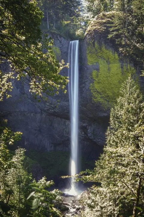 Latourell Falls23 mi straight-lineOpen224FT
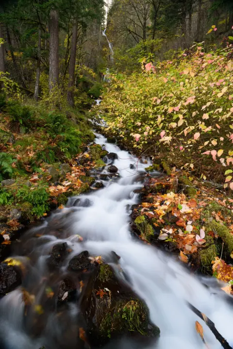 Wahkeena Falls28 mi straight-lineOpen242FT
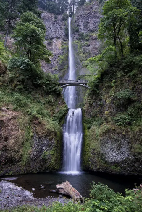 Multnomah Falls29 mi straight-lineOpen620FT
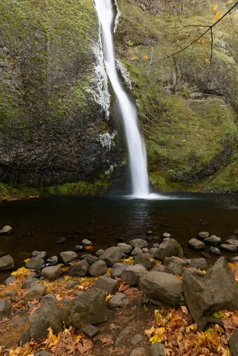 Horsetail Falls31 mi straight-lineOpen176FT
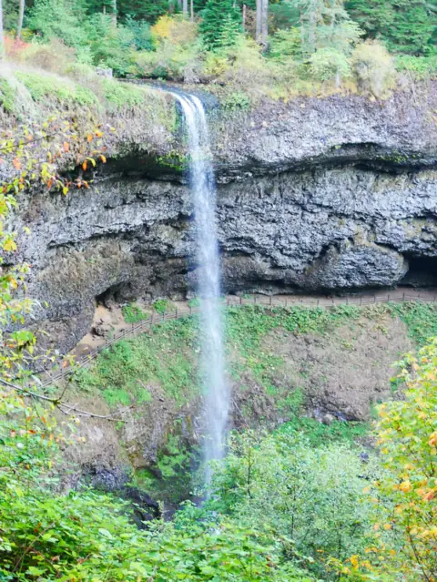 South Falls (Silver Falls)33 mi straight-lineOpen177FT
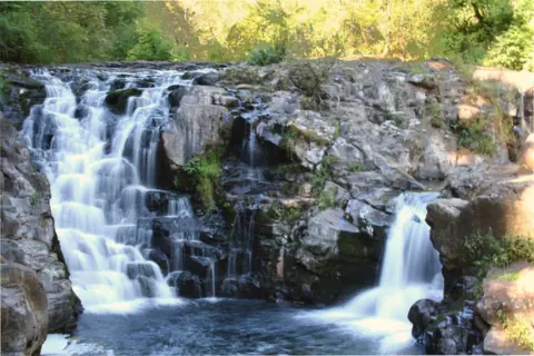 Moulton Falls35 mi straight-lineOpen10FT
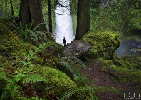 Wahclella Falls37 mi straight-lineOpen60FT
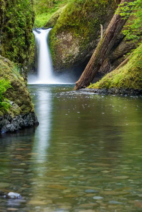 Punch Bowl Falls40 mi straight-lineOpen35FT
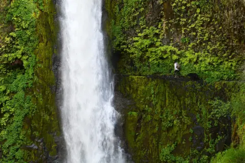 Tunnel Falls40 mi straight-lineOpen
City guides: Waterfalls near Portland, OR
On these lists: Roadside waterfalls
Sources
- City of Oregon City: McLoughlin Promenade (read Oct 29, 2026)
- City of Oregon City: Elevator Operating Hours
- City of Oregon City: Grand Ronde and City advance next phase of public access (Jul 30, 2026)
- Oregon City News: Groundbreaking of Willamette Falls access project (May 29, 2026)
- Wikipedia: Willamette Falls
- ODFW: Willamette Falls fish counts
- ODFW: Willamette Falls annual fish counts (1971 onward)
- City of West Linn: Willamette Falls Locks (read Oct 28, 2026)
- OPB: Willamette Falls Locks funding and closure (Jul 21, 2025)
- Wikipedia: Niagara Falls
Last verified Oct 18, 2026 by The Waterfall Guide editorial team. Conditions change: confirm with No public site at the falls (private and industrial land); viewpoints run by the City of Oregon City before you go. Spotted something out of date? Report a correction.