Right now
Right now as of Oct 17, 2026
- Permit No permit needed. Entry fee: $10 to 12 parking.
Status note (Oct 17, 2026): Open. Oregon State Parks began charging day-use parking here on March 30, 2026. What the status labels mean
Latourell Falls is a 224-foot waterfall in Guy W. Talbot State Park on the Historic Columbia River Highway, the first big waterfall you reach heading east from Portland. The lower falls are a short walk from the trailhead, and a loop of about 2 miles passes Upper Latourell Falls. Since March 30, 2026, parking requires an Oregon State Parks day-use permit ($10 for residents, $12 for non-residents).
About Latourell Falls
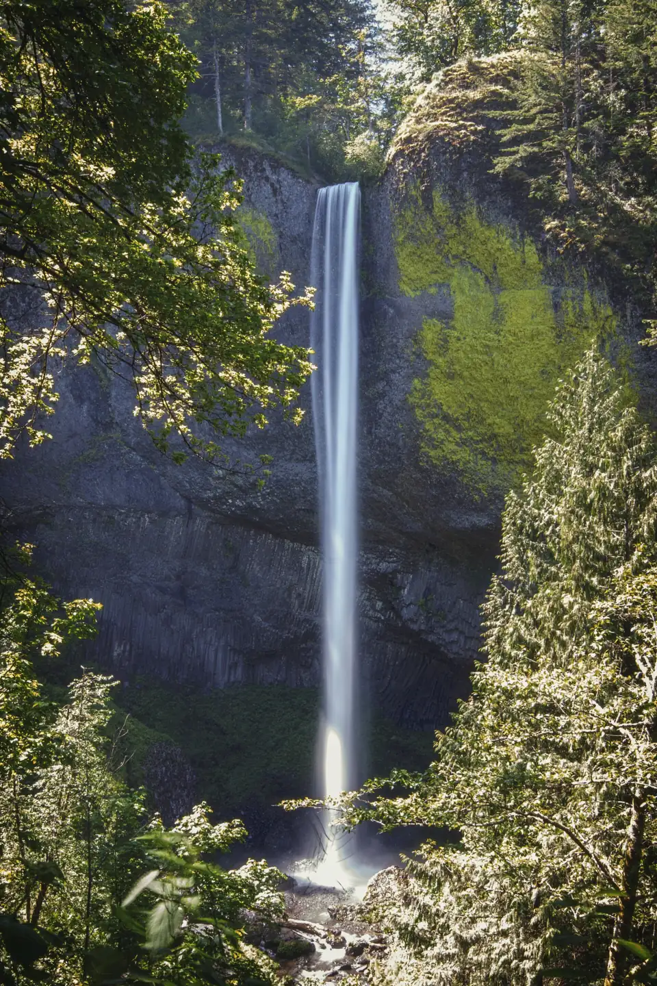
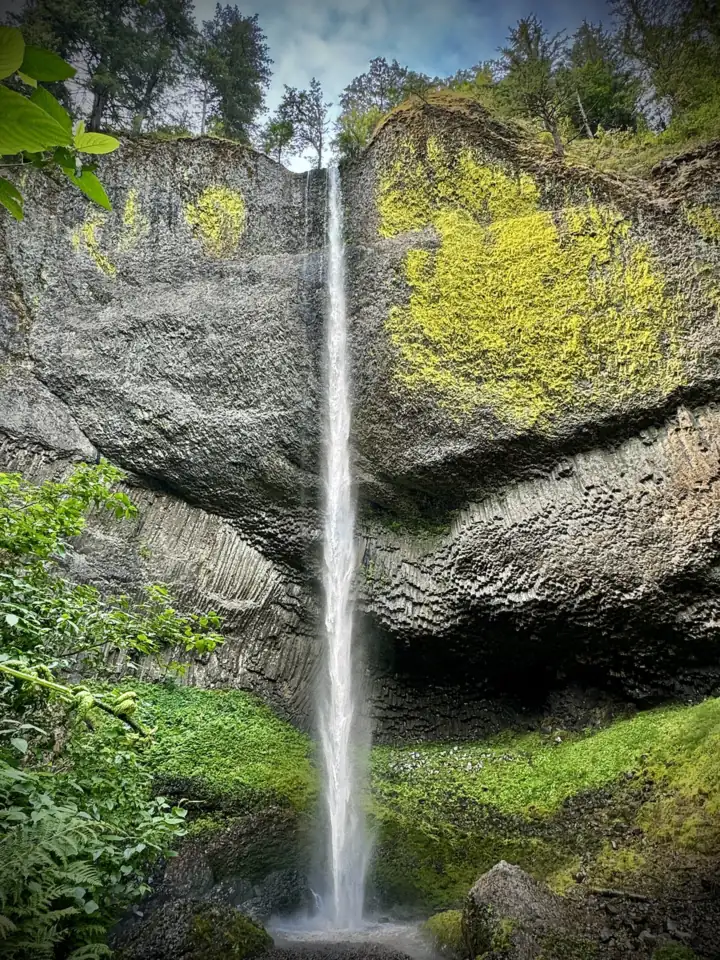
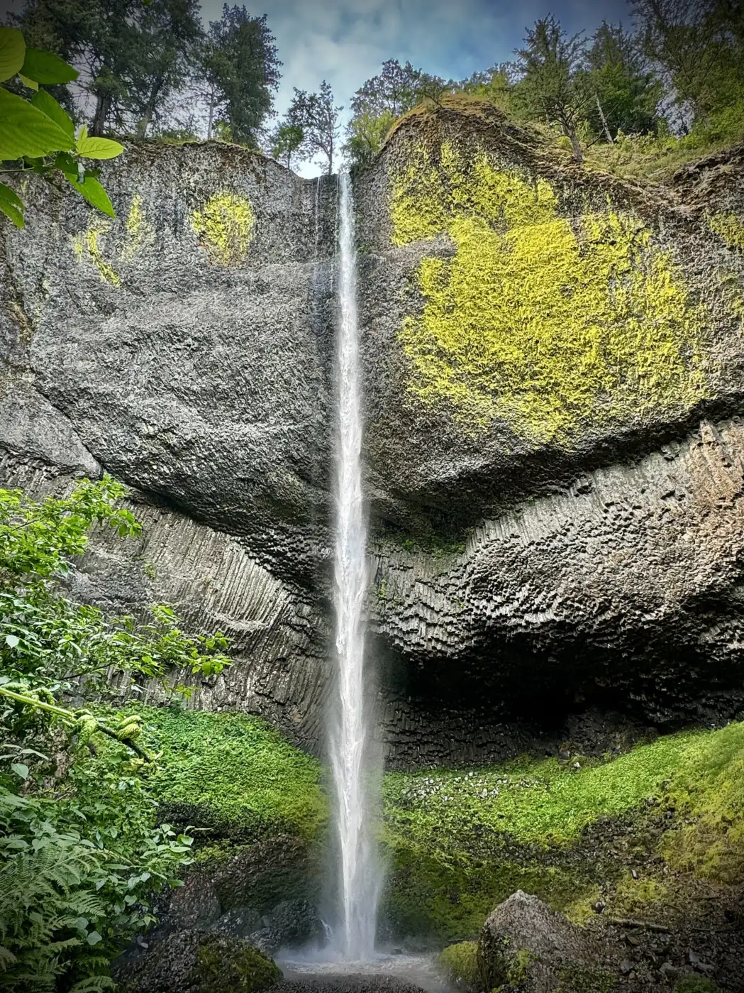
Latourell Falls drops 224 feet in a single plunge from an overhanging cliff of columnar basalt, according to Oregon State Parks (some references give 249 feet). The rock behind the falls is splashed with bright yellow-green lichen, which makes it one of the most photographed waterfalls in the gorge.
The falls are in Guy W. Talbot State Park. Guy Webster Talbot, president of Pacific Power and Light, and his wife Geraldine donated the park's first 125 acres in 1929. The Civilian Conservation Corps worked on the park in the 1930s, and Multnomah County and the state later added more land.
Latourell is the westernmost of the big Historic Highway waterfalls. It pairs well with the Vista House at Crown Point just to the west and with Multnomah Falls and Wahkeena Falls farther east.
Getting there and parking
The Latourell Falls Trailhead is on the Historic Columbia River Highway (US-30) east of Corbett. From Portland, take I-84 east and follow signs for the Historic Highway, then drive east past Crown Point.
From March 30, 2026, Oregon State Parks charges a day-use parking permit at this trailhead. The fee is $10 a day for Oregon residents or $12 for out-of-state visitors, or the $60 12-month permit. The daily permit is good at any Oregon state park that day, so it also covers other state park stops in the gorge. You can buy it on site with a QR code or online. Walk-in, bike-in and transit visitors don't pay.
Don't park on the highway shoulder. The Historic Highway is narrow, and ODOT tickets or tows cars parked illegally.
Map and nearby falls
Map loads as you scroll. Open in OpenStreetMap
OpenPartly open / seasonalUnconfirmedClosedLarger map
The hike
Lower Latourell Falls: a short walk from the lot takes you to the base of the falls. The path passes under the historic 1914 Latourell Creek Bridge on the Historic Highway. This is the easy option and the classic view.
The loop: the Latourell Falls loop follows Latourell Creek up to Upper Latourell Falls, a two-tiered falls in a quiet side canyon. It crosses small wooden bridges, then comes back down the other side of the creek. Oregon State Parks calls it about 2 miles and moderately difficult; hiking guides put it at 2.1 to 2.4 miles with about 600 feet of climbing. Allow about 1.5 hours.
When to visit
Latourell flows year-round and is fullest in spring. Because the main attraction is the lichen-covered rock as much as the water, it's worth a stop in any season. Oregon State Parks even holds a First Day Hike here on New Year's Day.
Weekend afternoons in summer are the busiest. Come early, or visit on a weekday, especially if you're combining Latourell with Multnomah Falls.
| Height | 224 ftNote: Oregon State Parks figure; some sources give 249 ft |
|---|---|
| Trail | Short walk to the lower falls; about 2 to 2.4 mi loop past Upper Latourell Falls |
| Difficulty | Easy (lower falls) / Moderate (loop, per Oregon State Parks) |
| Time needed | 15 minutes to the lower falls; about 1.5 hours for the loop |
| Entry fee | Oregon State Parks day-use parking permit: $10/day residents, $12/day non-residents (since March 30, 2026) |
| Permit / reservation | No timed permit; state park parking permit required to park |
| Parking | Trailhead lot on the Historic Highway; state park parking permit |
| Hours / season | Day use, year-round |
| Dogs | Allowed on a leash no longer than 6 ft |
| Swimming | No designated swimming; stay on the trail |
| Walk behind the falls | No |
| Best time to visit | Spring for flow; the lichen-covered basalt shows all year |
| Crowds | Moderate to high on weekends |
| Managed by | Oregon Parks and Recreation Department |
Safety and swimming
There's no designated swimming area. The pool sits under a tall cliff, and rocks and debris can fall from above, so stay on the trail. The loop has some steep, narrow sections that get muddy and slick in the rainy season; wear shoes with grip.
Since September 2025, Guy W. Talbot State Park is inside a Multnomah County quarantine zone for ash, olive and white fringe tree material. Don't move firewood in or out of the park.
Where to stay near Latourell Falls
Compare hotels, cabins and rentals close to the falls around Corbett.
See places to stay nearbyAffiliate link: we may earn a commission at no cost to you. Partners do not see or change our waterfall facts. Disclosure.
Photos

Latourell Falls FAQ
Do I need a permit for Latourell Falls?
No timed-use permit is needed. Since March 30, 2026, you need an Oregon State Parks day-use parking permit to park at the trailhead. It costs $10 a day for Oregon residents or $12 for out-of-state visitors.
Is Latourell Falls free?
It's free if you walk, bike or come by transit. Drivers need the state park day-use parking permit ($10 resident, $12 non-resident) since spring 2026.
How long is the Latourell Falls hike?
The lower falls are a short walk from the parking lot. The loop past Upper Latourell Falls is about 2 to 2.4 miles with roughly 600 feet of climbing. Oregon State Parks rates it moderately difficult.
How tall is Latourell Falls?
Oregon State Parks lists the lower falls as a 224-foot plunge. Some references, including Wikipedia, give 249 feet.
Are dogs allowed at Latourell Falls?
Yes, on a leash no longer than 6 feet, under Oregon State Parks rules.
Nearby waterfalls
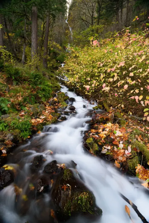 Wahkeena Falls5 mi straight-lineOpen242FT
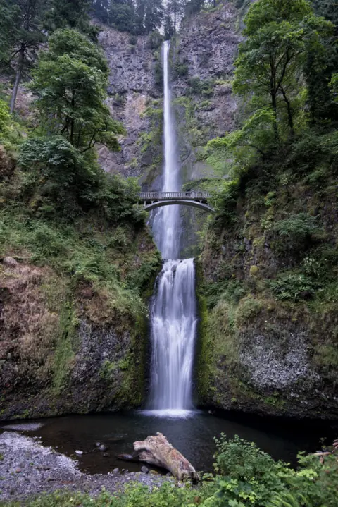 Multnomah Falls6 mi straight-lineOpen620FT
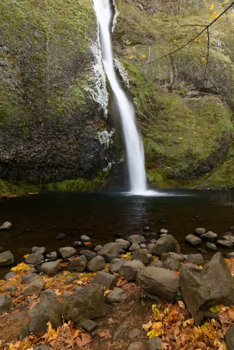 Horsetail Falls8 mi straight-lineOpen176FT
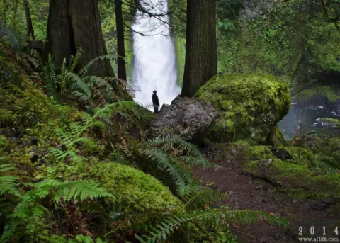 Wahclella Falls14 mi straight-lineOpen60FT
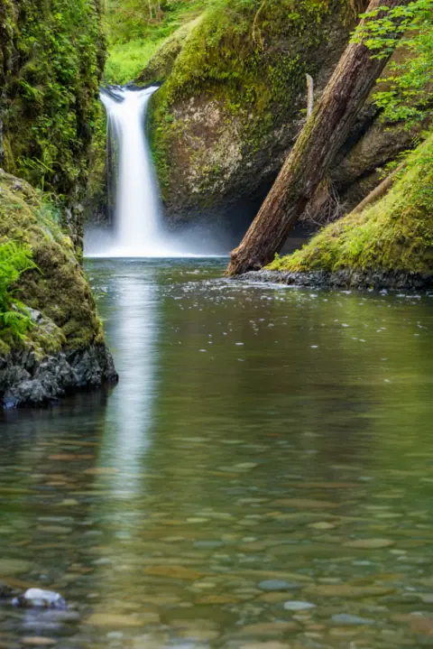 Punch Bowl Falls17 mi straight-lineOpen35FT
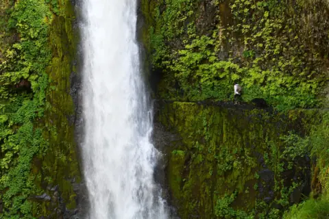 Tunnel Falls18 mi straight-lineOpen
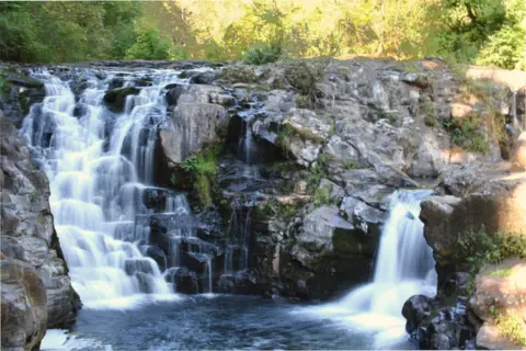 Moulton Falls22 mi straight-lineOpen10FT
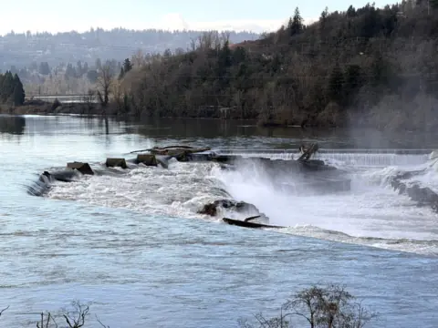 Willamette Falls23 mi straight-linePartly open40FT
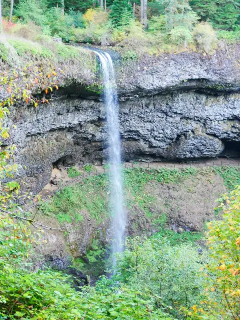 South Falls (Silver Falls)50 mi straight-lineOpen177FT
City guides: Waterfalls near Portland, OR
On these lists: Dog-friendly waterfalls
Sources
- Oregon State Parks: Latourell Falls Trailhead (Guy W. Talbot State Park)
- Oregon Parks and Recreation: More state parks will require day-use parking permits (Feb 20, 2026)
- Oregon State Parks: Pet rules (OAR 736-010-0030)
- Wikipedia: Latourell Falls
- Wikipedia: Guy W. Talbot State Park
Last verified Oct 17, 2026 by The Waterfall Guide editorial team. Conditions change: confirm with Oregon Parks and Recreation Department before you go. Spotted something out of date? Report a correction.