Right now
Right now as of Oct 24, 2026
- Permit No permit needed. Fee: no fee listed.
Status note (Oct 24, 2026): The Forest Service Wahkeena Falls page, updated May 1, 2026, shows Site Open, and its alerts list had no Wahkeena closure on October 23, 2026. December 2025 storms caused slides on the trail; volunteers cleared them in early 2026. What the status labels mean
Wahkeena Falls is a 242-foot tiered waterfall on the Historic Columbia River Highway, about half a mile west of Multnomah Falls. The Forest Service lists no fee, and no permit is needed. You can see the lower falls from the road. A short trail climbs about 0.2 miles to a stone bridge below the upper falls. The Wahkeena Trail links up with Multnomah Falls for a popular 4.9-mile loop.
About Wahkeena Falls
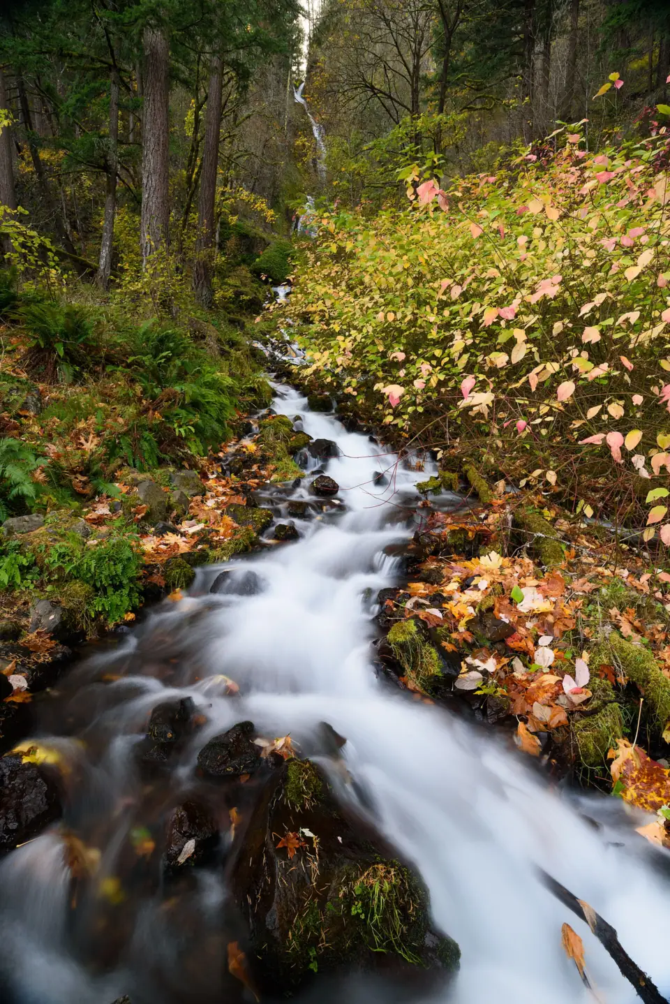
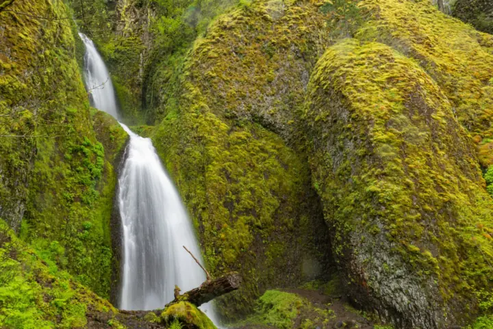
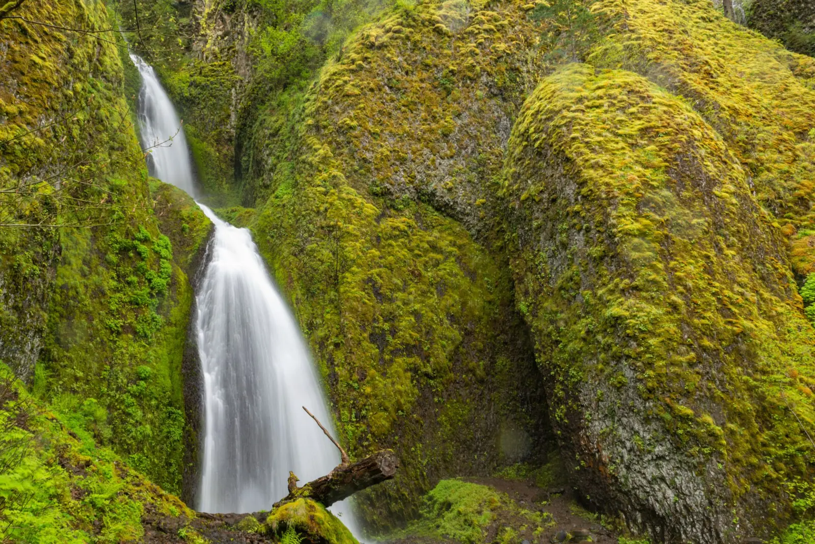
Wahkeena Falls doesn't drop in one leap like its famous neighbor. Wahkeena Creek tumbles about 242 feet over several tiers, splashing and twisting down a narrow, mossy chute. The result is noisier and more chaotic than Multnomah Falls, and much less crowded.
When the Columbia River Highway was built, these were called Gordon Falls. In 1915, a committee appointed by the Mazamas, a Portland mountaineering club, renamed them Wahkeena, said to be a Yakama word meaning "most beautiful". Oregon place-name historians think it was a new name rather than an old tribal one.
The small reinforced-concrete bridge that carries the Historic Highway over Wahkeena Creek is part of the highway's National Historic Landmark district. Across the road, the Wahkeena picnic area has a large shelter with a stone fireplace. The Forest Service says it is first-come, first-served, and groups over 75 need a special use permit.
Getting there and parking
Wahkeena Falls is on the Historic Columbia River Highway (US-30), about half a mile west of Multnomah Falls. From I-84, use Exit 28 (Bridal Veil) from the west or Exit 35 (Ainsworth) from the east, then follow the Historic Highway.
The Forest Service says the parking area is on the north side of the Historic Highway and the trail starts on the south side. The lot is small. The Forest Service lists no fee, and Wahkeena is not covered by the summer Multnomah Falls timed-use permit, which applies only to the I-84 Exit 31 lot. ODOT does not allow shoulder parking on the Historic Highway, so if the lot is full, move on and come back.
The Forest Service page, updated May 1, 2026, lists the site as open year-round from sunrise to sunset. It has flush toilets but no drinking water. Its alerts list had no Wahkeena closure when we checked on October 23, 2026.
Map and nearby falls
Map loads as you scroll. Open in OpenStreetMap
OpenPartly open / seasonalUnconfirmedClosedLarger map
The walk
To the stone bridge: from the trailhead, the paved Wahkeena Trail climbs about 0.2 miles to an old stone footbridge right below the upper tiers. There you stand in the spray. That's about 0.4 miles round trip.
The Wahkeena Trail: the full Wahkeena Trail #420 is 2.8 miles long. Above the bridge it climbs steep, spray-soaked switchbacks past Fairy Falls toward views of the Columbia River, with connections to Angel's Rest and Devil's Rest.
The Multnomah-Wahkeena loop: linking the Wahkeena Trail, the upper Larch Mountain Trail and the Multnomah Falls trail makes a loop of about 4.9 miles. It has about 1,600 feet of climbing. It passes several waterfalls along the way. Almost all of this loop burned in the 2017 Eagle Creek Fire, and storms still cause slides and fallen trees in the burn scar.
When to visit
Spring is best, when snowmelt fills Wahkeena Creek. In summer and early fall the flow drops but the falls still run. In winter, the Forest Service notes that the trail can stay open in icy weather but the upper switchbacks get dangerous, so carry traction devices.
Because it's next to Multnomah Falls, Wahkeena works as a quieter first or last stop. Arriving early gives you the best chance at a parking space.
| Height | 242 ftNote: total over several tiers |
|---|---|
| Trail | 0.4 mi round trip to the stone bridge; 4.9 mi loop with Multnomah Falls |
| Difficulty | Easy to the stone bridge; steep switchbacks above it (loop: about 1,600 ft of climbing) |
| Time needed | 20 to 30 minutes to the bridge; 3+ hours for the loop |
| Entry fee | No day-use fee listed by the Forest Service |
| Permit / reservation | None needed (not part of the Multnomah Falls permit) |
| Parking | Small Historic Highway lot |
| Hours / season | Sunrise to sunset |
| Swimming | No designated swimming; stay on the trail |
| Wheelchair / stroller | Accessible viewing platform (Forest Service); the trail beyond it is steep |
| Walk behind the falls | No |
| Restrooms | Flush toilets (Forest Service); no drinking water |
| Best time to visit | Spring for peak flow |
| Crowds | Moderate; overflow from Multnomah Falls |
| Managed by | U.S. Forest Service, Columbia River Gorge National Scenic Area |
Safety and swimming
Stay on the trail and on the bridge. The rock beside the cascades is steep and always wet. There's no swimming area.
In the Eagle Creek Fire burn area, the Forest Service advises against hiking during heavy rain or snow or within 48 hours after. The reason is landslide and falling-tree risk. December 2025 storms caused slides on this trail.
The Forest Service prohibits drone takeoffs and landings at this site.
Where to stay near Wahkeena Falls
Compare hotels, cabins and rentals close to the falls around Corbett.
See places to stay nearbyAffiliate link: we may earn a commission at no cost to you. Partners do not see or change our waterfall facts. Disclosure.
Photos

Wahkeena Falls FAQ
Do I need a permit for Wahkeena Falls?
No. Wahkeena is not covered by the Multnomah Falls timed-use permit, which applies only to the I-84 Exit 31 lot. There was no Historic Highway corridor permit in 2026.
Is Wahkeena Falls free?
No entry fee is listed. The Forest Service lists no day-use fee.
How long is the hike to Wahkeena Falls?
The lower falls are visible from the trailhead. The stone bridge viewpoint is about 0.2 miles up the trail. The full Wahkeena Trail #420 is 2.8 miles, and the Multnomah-Wahkeena loop is about 4.9 miles with about 1,600 feet of climbing.
Can I hike from Wahkeena Falls to Multnomah Falls?
Yes. Trails link the two, and they are about half a mile apart along the Historic Highway, so many people hike the loop or walk between them.
Is the Wahkeena Trail safe in winter?
The Forest Service says the trail can stay open in icy weather, but ice on the upper switchbacks can be dangerous. Bring traction devices.
Nearby waterfalls
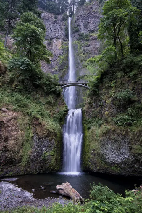 Multnomah Falls1 mi straight-lineOpen620FT
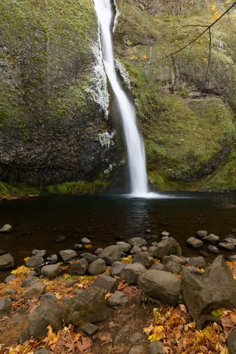 Horsetail Falls3 mi straight-lineOpen176FT
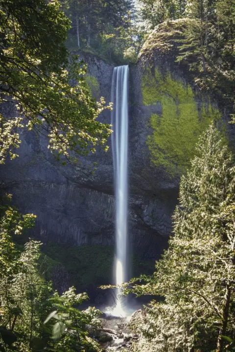 Latourell Falls5 mi straight-lineOpen224FT
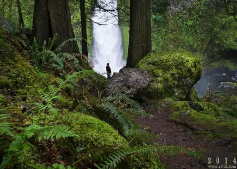 Wahclella Falls9 mi straight-lineOpen60FT
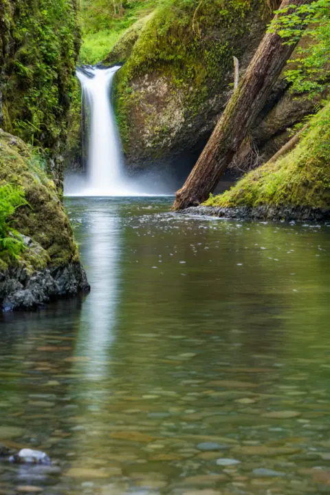 Punch Bowl Falls12 mi straight-lineOpen35FT
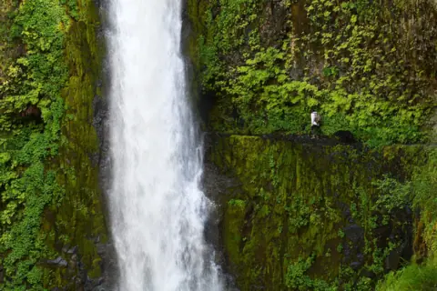 Tunnel Falls13 mi straight-lineOpen
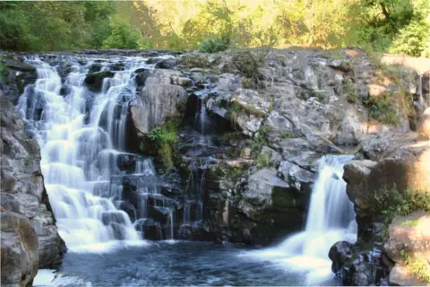 Moulton Falls22 mi straight-lineOpen10FT
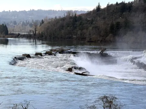 Willamette Falls28 mi straight-linePartly open40FT
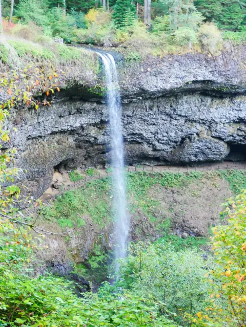 South Falls (Silver Falls)55 mi straight-lineOpen177FT
City guides: Waterfalls near Portland, OR
On these lists: Easy waterfall hikes · Roadside waterfalls
Sources
Some facts credited to the Forest Service come from search-result excerpts of its official pages. Confirm fees and rules on the official site.
- USDA Forest Service: Wahkeena Falls (Site Open, updated May 1, 2026)
- USDA Forest Service: Wahkeena Trail #420
- USDA Forest Service: Trail closures, flooding and landslide activity (Dec 2025; no longer on the alerts list Oct 23, 2026)
- History Museum of Hood River County: Wahkeena Falls
- Wikipedia: Wahkeena Falls
- USDA Forest Service: Columbia River Gorge alerts (read Oct 23, 2026)
Last verified Oct 24, 2026 by The Waterfall Guide editorial team. Conditions change: confirm with U.S. Forest Service, Columbia River Gorge National Scenic Area before you go. Spotted something out of date? Report a correction.