Waterfall list
Easy waterfall hikes
Every waterfall walk on this list is rated easy on its falls guide, often by the managing agency or a trail guide, and runs 1.5 miles or less. Some, like Looking Glass Falls, are roadside decks a few steps from the car. Others are paved paths like the Ash Cave Gorge Trail, boardwalks like the one at Sandstone Falls, or the short guided cave walk at Ruby Falls.
Easy waterfall hikes: 36 in this guide
Each card links to a full guide with the official source, fees, parking and current status. Rules change, so check the falls page before you go.
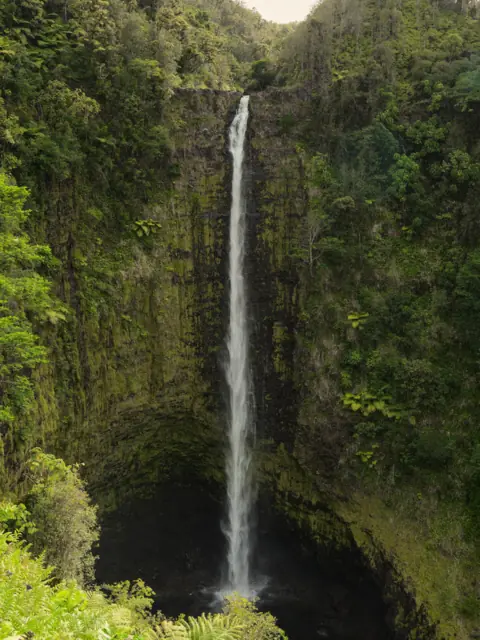
0.4-mi paved loop with many steps, rated easy by DLNR; part of the loop is closed for fallen trees.
ʻAkaka FallsHawaii · 0.4 mi paved loopPartly open442FT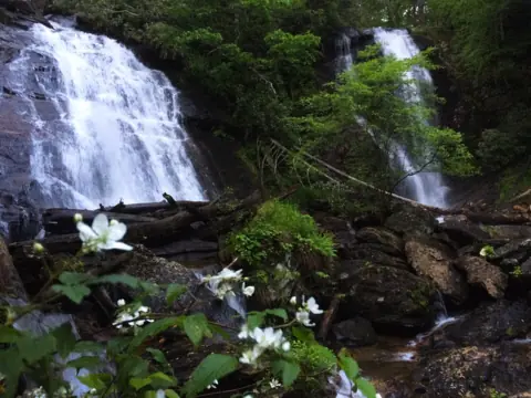
Paved trail, 0.4 mi each way to two decks; easy with a few short steep sections (FIND Outdoors).
Anna Ruby FallsGeorgia · 0.8 mi round tripOpen153FT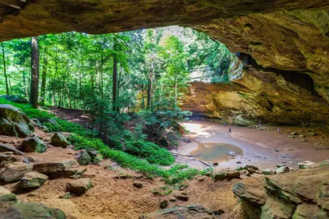
Paved Gorge Trail, 1/4 mi on ODNR's list, rated easy and wheelchair accessible; about 0.5 mi round trip.
Ash CaveOhio · 0.5-0.6 mi round trip, pavedOpen90FT CAVE RIM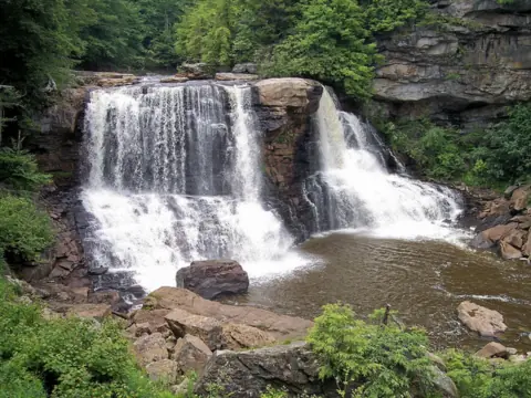
Paved 0.25-mi Gentle Trail to an observation deck; the boardwalk option has more than 200 steps.
Blackwater FallsWest Virginia · 0.25 mi boardwalk or paved Gentle TrailOpen57FT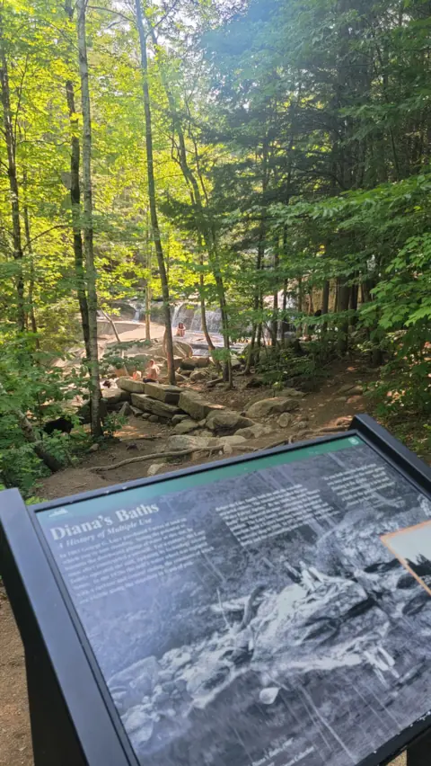
About 3/4 mi each way on the Moat Mountain Trail (Forest Service); the section to the Baths is ADA accessible.
Diana's BathsNew Hampshire · About 1.2-1.5 mi round trip, gravelOpen75FT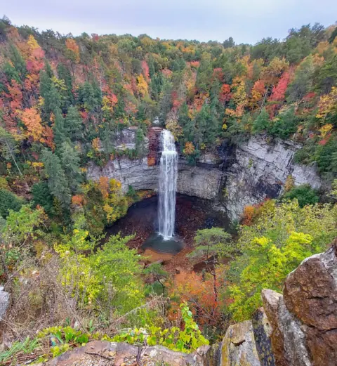
Easy overlook beside the parking lot; the Base of Falls Trail, about 0.35 mi each way, is difficult.
Fall Creek FallsTennessee · Roadside overlook; 0.35 mi to baseOpen256FT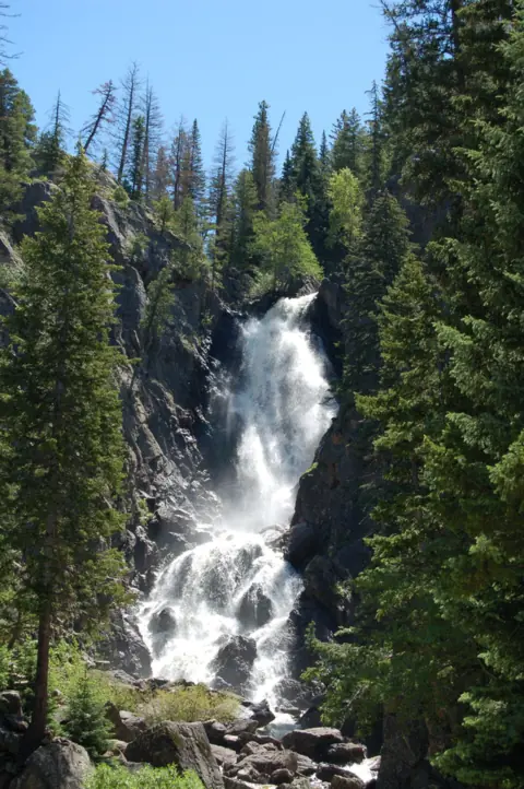
Wheelchair-accessible overlook trail about 1/4 mi one way (USFS); a dirt trail of similar length reaches the base.
Fish Creek FallsColorado · About ¼ mi to the overlookOpen300FT APPROX.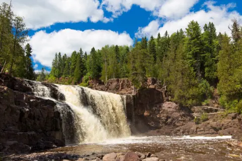
Paved Waterfalls Walk: Middle Falls is about 0.1 mi from the Visitor Center; the Upper/Middle loop is about 0.5 mi.
Gooseberry FallsMinnesota · About 0.5 mi Upper/Middle loopOpen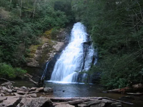
Easy 0.2-mi trail per the Forest Service, which warns of many abrupt changes in grade.
Helton Creek FallsGeorgia · 0.2 mi, easy (USFS)Open100FT COMBINED, 100+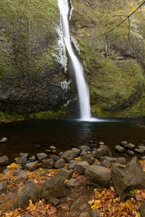
Easy roadside view across the Historic Highway; the 0.4-mi-each-way climb to Ponytail Falls is steep.
Horsetail FallsOregon · Roadside / 0.8 mi / 3.6 miOpen176FT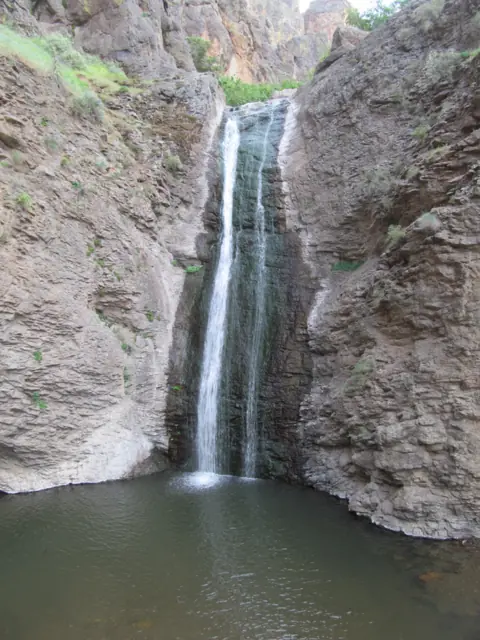
Rated easy by BLM; about 1/2 mi round trip per Visit Idaho. Status unconfirmed, so check BLM first.
Jump Creek FallsIdaho · About 1/2 mi round tripUnconfirmed60FT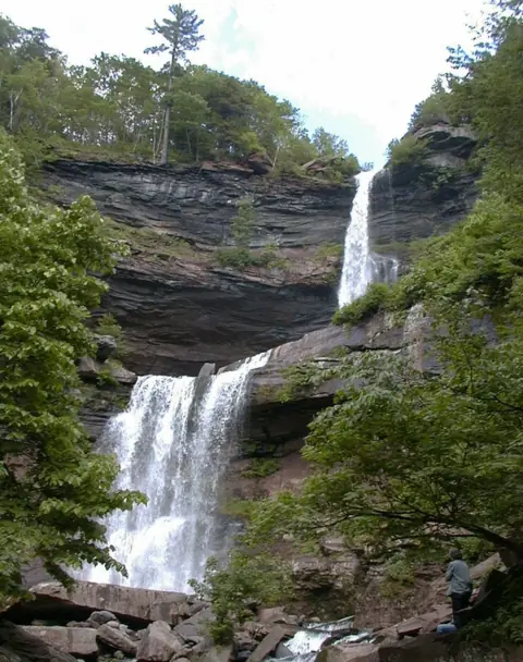
Accessible crushed-stone trail, 0.3 mi one way to the platform; the trail below the platform is steeper.
Kaaterskill FallsNew York · 0.6 mi round trip to platformOpen260FT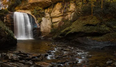
Accessible top deck by the parking area off US-276; stairs lead down to the creek.
Looking Glass FallsNorth Carolina · RoadsideOpen60FT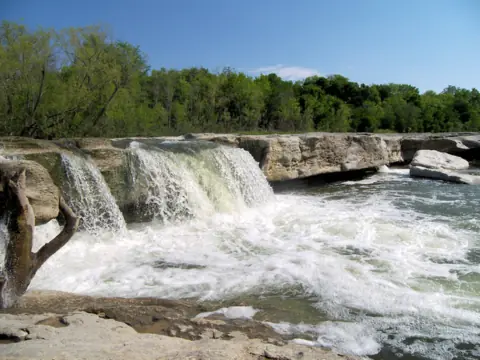
Picnic Trail to the Lower Falls is 0.5 mi, easy and about 15 minutes, per TPWD.
McKinney FallsTexas · Picnic Trail 0.5 mi to Lower FallsOpen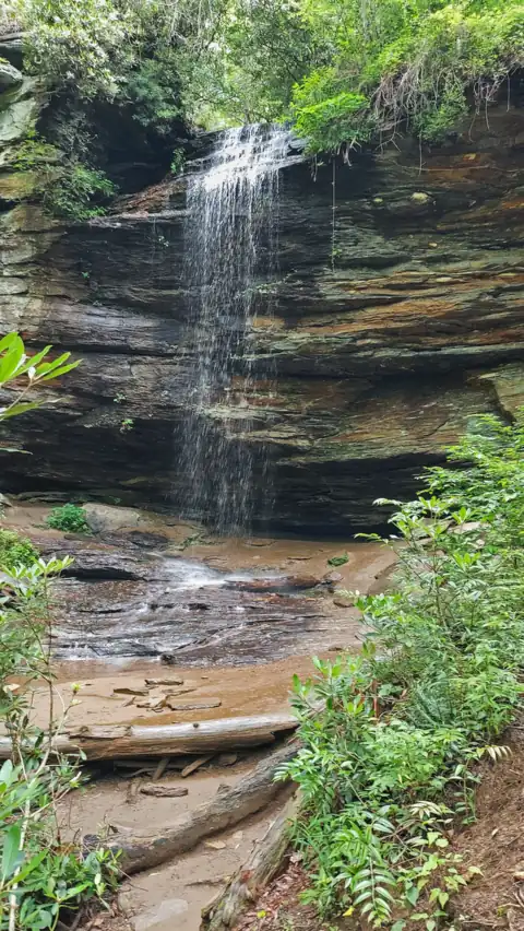
Moore Cove Trail: 0.7 mi, easy after a moderate first 150 ft, with three footbridge creek crossings (USFS).
Moore Cove FallsNorth Carolina · 0.7 mi, easy (USFS)Open50FT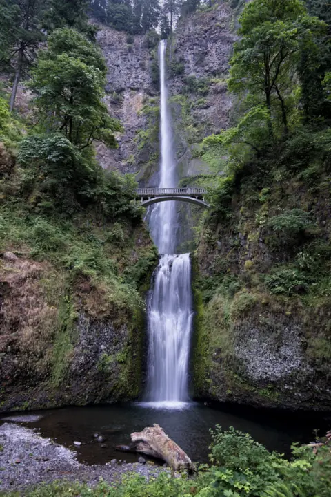
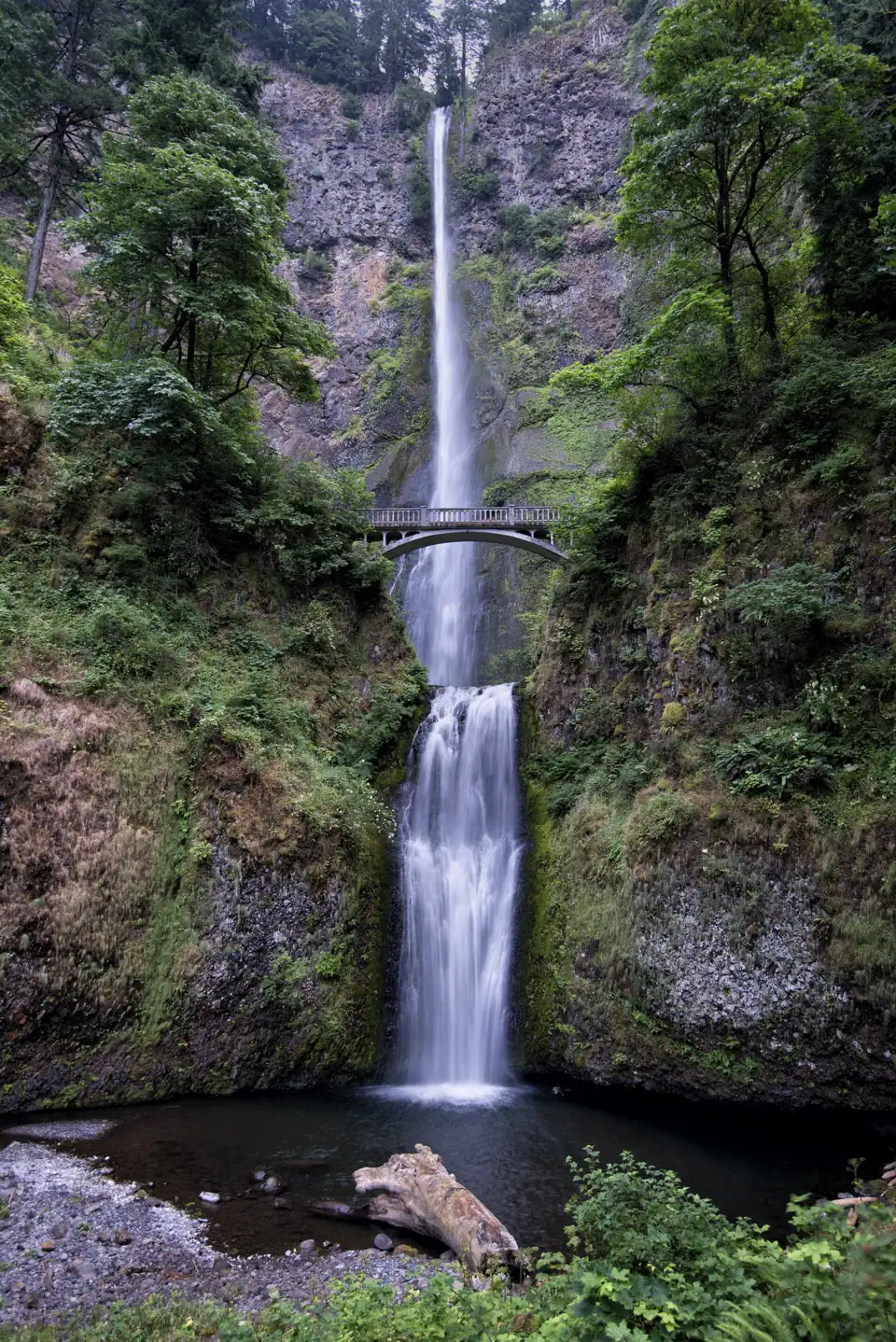
Easy 0.5 mi round trip to Benson Bridge; the top is a much harder climb.
Multnomah FallsOregon · 0.5 to 2.4 miOpen620FT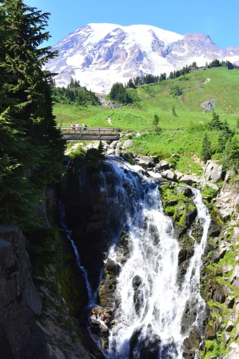
1 mi round trip on the paved Skyline Trail, rated easy; NPS notes a steep stairway at the viewpoint.
Myrtle FallsWashington · 1 mi round trip, pavedOpen60FT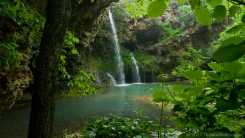
Accessible walk to the overlook on the 1/2-mile Dripping Springs Trail; 47 steps go down to the base.
Natural FallsOklahoma · 0.5 mi trail; accessible overlookOpen77FT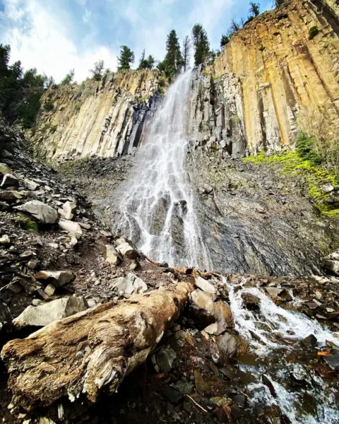
Paved, fully accessible half-mile trail (Forest Service), about 1 mi round trip; in winter you walk about 2 mi.
Palisade FallsMontana · About 1 mi round trip, pavedSeasonal80FT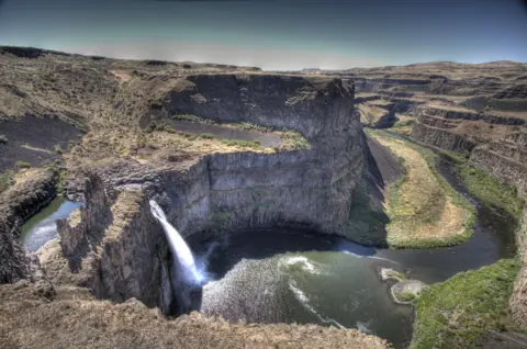
1.0 mi round trip with no elevation gain to the viewing areas (WTA); trails to the base are permanently closed.
Palouse FallsWashington · 1.0 mi round trip (WTA)Open200FT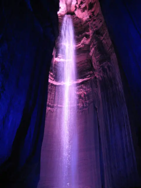
Guided cave walk just under 1 mi round trip after a 260-ft elevator ride; timed tickets sold online only.
Ruby FallsTennessee · 1 mi cave walkOpen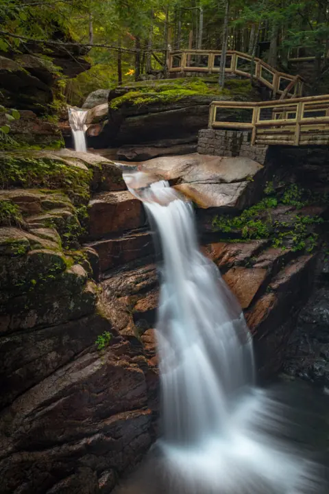
Easy 15-minute gravel walk (USFS), 0.7 mi round trip; part of the trail is closed now, through Apr 15, 2027.
Sabbaday FallsNew Hampshire · 0.7 mi round trip, gravelSeasonal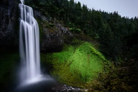
Accessible platform about 50 yards from the lot (USFS); in winter the site normally closes, adding a 0.4-mi road walk.
Salt Creek FallsOregon · 50 yd to the viewpointSeasonal286FT SINGLE DROP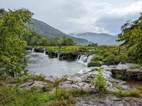
Handicapped-accessible boardwalk of 0.25 mi (NPS); the Island Loop Trail adds 1/2 mi on the islands.
Sandstone FallsWest Virginia · 0.25 mi boardwalkOpen25FT TALLEST SECTION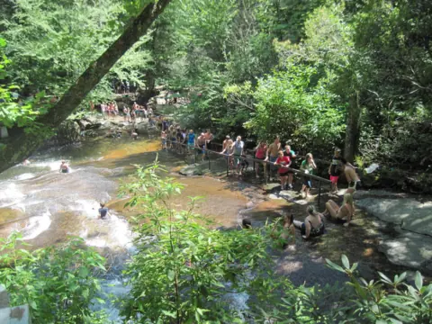
Short walk from the lot to the slide and viewing platform.
Sliding RockNorth Carolina · Short walkOpen60FT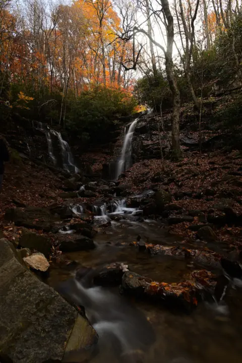
About 0.2 mi from the lot to an upper overlook and a deck; easy with a steep section (ncwaterfalls.com).
Soco FallsNorth Carolina · About 0.2 miOpen120FT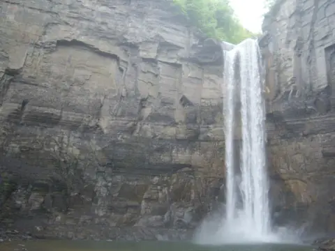
Gorge Trail is wide and nearly flat, about 3/4 mi each way (about 1.5 mi round trip) to the base.
Taughannock FallsNew York · 1.5 mi round trip (Gorge Trail)Open215FT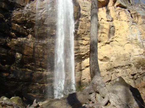
100-yard graveled path from the gift shop to the base of the falls; $2 entrance fee.
Toccoa FallsGeorgia · 100 ydOpen186FT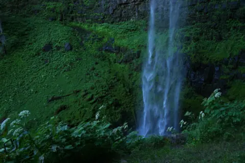
0.4 mi each way on Trail #1495 to a viewing platform; an easy distance, but nearly 200 steps.
Toketee FallsOregon · 0.8 mi round tripOpen120FT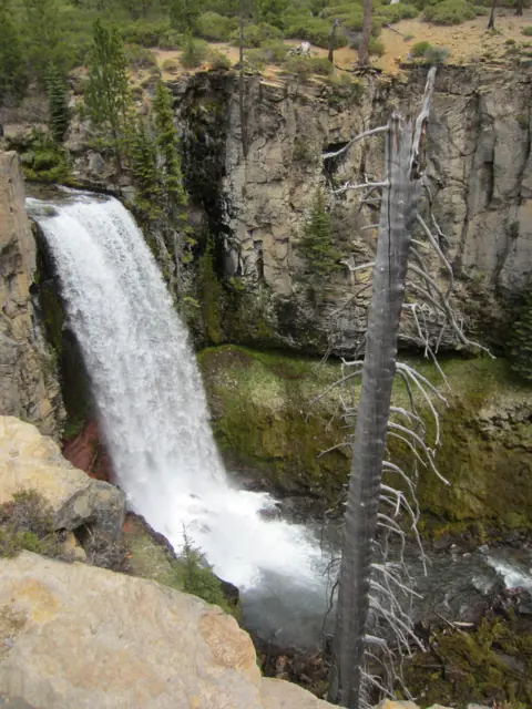
Falls visible near the lot; 0.25-mi climb to a platform. Winter road closure adds about 2.5 mi each way.
Tumalo FallsOregon · Near lot / 0.25 mi to topSeasonal97FT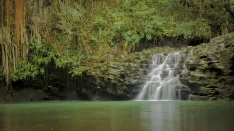
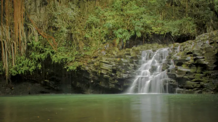
Lower falls a short walk from the lot (no official rating); the upper falls trip is over a mile round trip.
Twin FallsHawaii · Short walk; 1+ mi to upper fallsOpen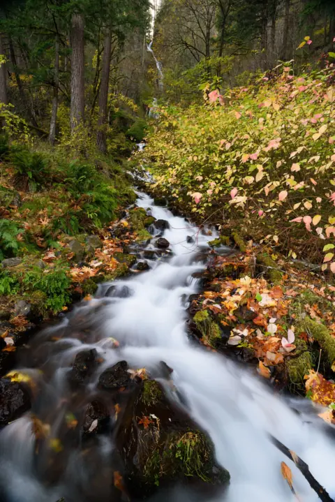
Easy 0.4 mi round trip to the stone bridge; steep switchbacks start above it.
Wahkeena FallsOregon · 0.4 mi / 4.9 mi loopOpen242FT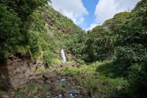
Paved, accessible garden path about 3/4 mi each way (1.5 mi round trip); admission ticket required.
Waimea FallsHawaii · 1.5 mi round trip, pavedOpen40FT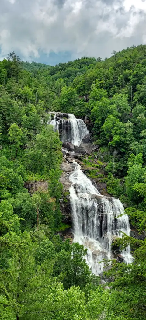
Paved walkway, about 0.5 mi round trip to the upper overlook; 154 wooden steps lead down to the lower one.
Whitewater FallsNorth Carolina · About 0.5 mi round tripOpen411FT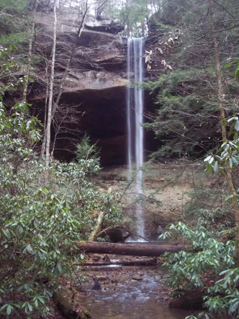
1-mi loop behind the falls, 'easy with the exception of some very steep metal steps' (NPS).
Yahoo FallsKentucky · 1 mi loop (NPS)Open113FT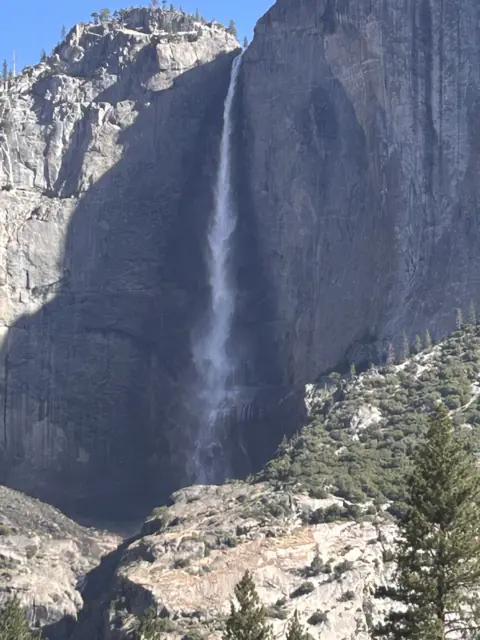
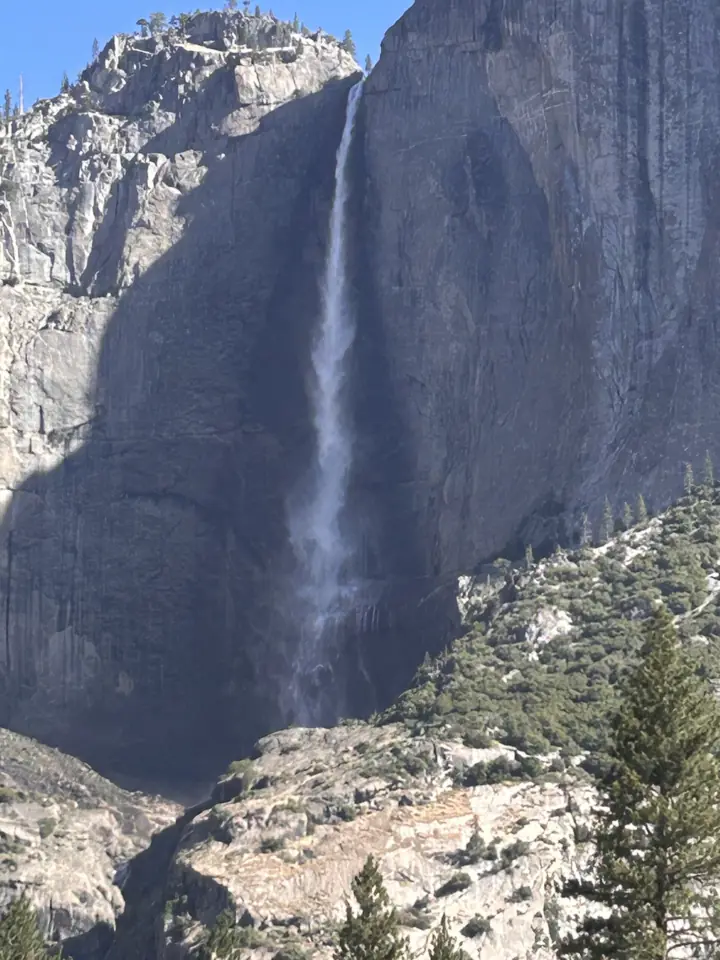
1-mi paved loop to Lower Yosemite Fall, rated easy; NPS reported the falls dry on Oct 23, 2026.
Yosemite FallsCalifornia · 1 mi loop (Lower)Open2,425FT
Map
Map loads as you scroll. Open in OpenStreetMap
OpenPartly open / seasonalUnconfirmedClosedPacific NorthwestCalifornia & HawaiiMountain West & SouthwestMidwestNortheastSoutheastLarger map
Compare them
| Waterfall | State | Status | Easy route | Height | Trail | Fee / permit |
|---|---|---|---|---|---|---|
| Yosemite Falls | CA | Open | 1-mi paved loop to Lower Yosemite Fall, rated easy; NPS reported the falls dry on Oct 23, 2026. | 2,425 ft | 1 mi loop (Lower) | $35/vehicle park fee (2026) |
| Fish Creek Falls | CO | Open | Wheelchair-accessible overlook trail about 1/4 mi one way (USFS); a dirt trail of similar length reaches the base. | about 300 ft | About ¼ mi to the overlook | $5 per vehicle per day |
| Anna Ruby Falls | GA | Open | Paved trail, 0.4 mi each way to two decks; easy with a few short steep sections (FIND Outdoors). | 153 ft | 0.8 mi round trip | $6 / person (16+) |
| Helton Creek Falls | GA | Open | Easy 0.2-mi trail per the Forest Service, which warns of many abrupt changes in grade. | 100 ft (combined, 100+) | 0.2 mi, easy (USFS) | No fee shown (USFS) |
| Toccoa Falls | GA | Open | 100-yard graveled path from the gift shop to the base of the falls; $2 entrance fee. | 186 ft | 100 yd | $2 |
| Twin Falls | HI | Open | Lower falls a short walk from the lot (no official rating); the upper falls trip is over a mile round trip. | Not listed | Short walk; 1+ mi to upper falls | $10 parking |
| Waimea Falls | HI | Open | Paved, accessible garden path about 3/4 mi each way (1.5 mi round trip); admission ticket required. | 40 ft | 1.5 mi round trip, paved | $26 adult admission |
| ʻAkaka Falls | HI | Partly open | 0.4-mi paved loop with many steps, rated easy by DLNR; part of the loop is closed for fallen trees. | 442 ft | 0.4 mi paved loop | $5/person + $10/car (non-residents) |
| Jump Creek Falls | ID | Unconfirmed | Rated easy by BLM; about 1/2 mi round trip per Visit Idaho. Status unconfirmed, so check BLM first. | 60 ft | About 1/2 mi round trip | $5 per vehicle |
| Yahoo Falls | KY | Open | 1-mi loop behind the falls, 'easy with the exception of some very steep metal steps' (NPS). | 113 ft | 1 mi loop (NPS) | Free |
| Gooseberry Falls | MN | Open | Paved Waterfalls Walk: Middle Falls is about 0.1 mi from the Visitor Center; the Upper/Middle loop is about 0.5 mi. | Not listed | About 0.5 mi Upper/Middle loop | Free at Visitor Center lots; $7 permit elsewhere |
| Palisade Falls | MT | Seasonal | Paved, fully accessible half-mile trail (Forest Service), about 1 mi round trip; in winter you walk about 2 mi. | 80 ft | About 1 mi round trip, paved | No fee found (unconfirmed) |
| Diana's Baths | NH | Open | About 3/4 mi each way on the Moat Mountain Trail (Forest Service); the section to the Baths is ADA accessible. | 75 ft | About 1.2-1.5 mi round trip, gravel | $5/day WMNF pass, year-round |
| Sabbaday Falls | NH | Seasonal | Easy 15-minute gravel walk (USFS), 0.7 mi round trip; part of the trail is closed now, through Apr 15, 2027. | Not listed | 0.7 mi round trip, gravel | WMNF day pass, spring-fall |
| Kaaterskill Falls | NY | Open | Accessible crushed-stone trail, 0.3 mi one way to the platform; the trail below the platform is steeper. | 260 ft | 0.6 mi round trip to platform | Free |
| Taughannock Falls | NY | Open | Gorge Trail is wide and nearly flat, about 3/4 mi each way (about 1.5 mi round trip) to the base. | 215 ft | 1.5 mi round trip (Gorge Trail) | $10 per vehicle |
| Looking Glass Falls | NC | Open | Accessible top deck by the parking area off US-276; stairs lead down to the creek. | 60 ft | Roadside | No fee listed |
| Moore Cove Falls | NC | Open | Moore Cove Trail: 0.7 mi, easy after a moderate first 150 ft, with three footbridge creek crossings (USFS). | 50 ft | 0.7 mi, easy (USFS) | No fee shown (USFS) |
| Sliding Rock | NC | Open | Short walk from the lot to the slide and viewing platform. | 60 ft | Short walk | $6 / person |
| Soco Falls | NC | Open | About 0.2 mi from the lot to an upper overlook and a deck; easy with a steep section (ncwaterfalls.com). | 120 ft | About 0.2 mi | Free |
| Whitewater Falls | NC | Open | Paved walkway, about 0.5 mi round trip to the upper overlook; 154 wooden steps lead down to the lower one. | 411 ft | About 0.5 mi round trip | $3 / vehicle |
| Ash Cave | OH | Open | Paved Gorge Trail, 1/4 mi on ODNR's list, rated easy and wheelchair accessible; about 0.5 mi round trip. | 90 ft (cave rim) | 0.5-0.6 mi round trip, paved | Free entry |
| Natural Falls | OK | Open | Accessible walk to the overlook on the 1/2-mile Dripping Springs Trail; 47 steps go down to the base. | 77 ft | 0.5 mi trail; accessible overlook | Parking Pass required |
| Horsetail Falls | OR | Open | Easy roadside view across the Historic Highway; the 0.4-mi-each-way climb to Ponytail Falls is steep. | 176 ft | Roadside / 0.8 mi / 3.6 mi | Free |
| Multnomah Falls | OR | Open | Easy 0.5 mi round trip to Benson Bridge; the top is a much harder climb. | 620 ft | 0.5 to 2.4 mi | No entry fee listed |
| Salt Creek Falls | OR | Seasonal | Accessible platform about 50 yards from the lot (USFS); in winter the site normally closes, adding a 0.4-mi road walk. | 286 ft (single drop) | 50 yd to the viewpoint | $5 per vehicle or a pass |
| Toketee Falls | OR | Open | 0.4 mi each way on Trail #1495 to a viewing platform; an easy distance, but nearly 200 steps. | 120 ft | 0.8 mi round trip | No fee listed |
| Tumalo Falls | OR | Seasonal | Falls visible near the lot; 0.25-mi climb to a platform. Winter road closure adds about 2.5 mi each way. | 97 ft | Near lot / 0.25 mi to top | $5 day pass or NW Forest Pass |
| Wahkeena Falls | OR | Open | Easy 0.4 mi round trip to the stone bridge; steep switchbacks start above it. | 242 ft | 0.4 mi / 4.9 mi loop | No fee listed |
| Fall Creek Falls | TN | Open | Easy overlook beside the parking lot; the Base of Falls Trail, about 0.35 mi each way, is difficult. | 256 ft | Roadside overlook; 0.35 mi to base | Free |
| Ruby Falls | TN | Open | Guided cave walk just under 1 mi round trip after a 260-ft elevator ride; timed tickets sold online only. | Not listed | 1 mi cave walk | $29.95 adult |
| McKinney Falls | TX | Open | Picnic Trail to the Lower Falls is 0.5 mi, easy and about 15 minutes, per TPWD. | Not listed | Picnic Trail 0.5 mi to Lower Falls | $6 adults; 12 and under free |
| Myrtle Falls | WA | Open | 1 mi round trip on the paved Skyline Trail, rated easy; NPS notes a steep stairway at the viewpoint. | 60 ft | 1 mi round trip, paved | $30 per vehicle (cashless) |
| Palouse Falls | WA | Open | 1.0 mi round trip with no elevation gain to the viewing areas (WTA); trails to the base are permanently closed. | 200 ft | 1.0 mi round trip (WTA) | Discover Pass ($10 a day) |
| Blackwater Falls | WV | Open | Paved 0.25-mi Gentle Trail to an observation deck; the boardwalk option has more than 200 steps. | 57 ft | 0.25 mi boardwalk or paved Gentle Trail | No entrance fee listed |
| Sandstone Falls | WV | Open | Handicapped-accessible boardwalk of 0.25 mi (NPS); the Island Loop Trail adds 1/2 mi on the islands. | 25 ft (tallest section) | 0.25 mi boardwalk | No entrance fee (NPS) |
How we picked these walks
We started from every falls guide and kept those whose main trail, or a named short option, is rated easy at 1.5 miles or less. If a guide says round trip or one way, the card says so too. If it doesn't, as with the 0.7-mile Moore Cove Trail, we give the number without a label.
Seven falls that looked easy did not qualify. Dingmans Falls and Munising Falls are closed, and the McWay Falls Overlook Trail is closed for retaining-wall work. Box Canyon Falls has closed for the season, and the Eagle Falls trailhead is typically closed from mid-October to mid-May. Dry Falls and Raymondskill Falls are short, but the Highlands Chamber rates Dry Falls moderate and NPS rates Raymondskill easy to moderate.
The falls guides behind this list were last checked in late October or early November 2026. Conditions change, so open the falls guide before you go.
Paved, boardwalk and accessible routes
Several falls here have a paved or accessible route. At Ash Cave, ODNR lists the paved Gorge Trail as easy and wheelchair accessible. Waimea Falls on Oahu's North Shore sits at the end of a paved, accessible garden path, about 1.5 miles round trip.
Sandstone Falls has a 0.25-mile boardwalk that NPS describes as handicapped accessible. Fish Creek Falls has a wheelchair-accessible overlook trail about a quarter mile one way. At Kaaterskill Falls, an accessible crushed-stone trail runs 0.3 mile to the viewing platform.
Other paved options include the Skyline Trail to Myrtle Falls, the half-mile nature trail at Palisade Falls and the walkway to the upper overlook at Whitewater Falls. Each falls guide lists any stairs beyond the paved part.
Steps and grades on short trails
A low mileage can hide steps or steep grades. Toketee Falls is only 0.4 mile each way, but the path has nearly 200 steps. At Yahoo Falls, NPS calls the 1-mile loop easy except for some very steep metal steps.
At Whitewater Falls, the paved walk to the upper overlook is easy, but the climb back from the lower overlook's 154 wooden steps is strenuous. Helton Creek Falls is only 0.2 mile in, yet the Forest Service says the grade changes abruptly in many places. Read the card note first if knees, strollers or small children are part of the plan.
When winter adds distance
A few of these walks get much longer once a road closes. At Tumalo Falls, Forest Road 4603 closes to cars from about November to May, adding about 2.5 miles each way. When the trailhead road to Palisade Falls closes in winter, Visit Bozeman says you walk about 2 miles.
Salt Creek Falls is normally closed in winter, when you can park at the Sno-Park and walk 0.4 mile along the road. Part of the Sabbaday Falls trail is closed now, through April 15, 2027, under a forest order that repeats each winter.
Tickets and fees on short walks
An easy walk is not always a free one. Ruby Falls is a guided cave walk with timed tickets sold online only, and Waimea Valley charges admission. Anna Ruby Falls costs $6 per person aged 16 and up, and Toccoa Falls has a $2 entrance fee paid at the gift shop.
Others cost nothing to enter, including Ash Cave and Kaaterskill Falls. The comparison table above shows the fee or permit for every falls, so you can sort by it before you choose.
Where easy walks cluster
Western North Carolina has several short walks along US 276 in Pisgah National Forest. Looking Glass Falls has an accessible deck by the parking area, and Sliding Rock and Moore Cove Falls are on the same road. See waterfalls near Brevard to plan a day there.
In the Columbia River Gorge, Multnomah Falls, Wahkeena Falls and Horsetail Falls each have an easy option. Our waterfalls near Portland page compares them. In Tennessee, see the state guide and waterfalls near Chattanooga.
Staying safe on a short walk
Short trails still end at moving water and wet rock. At Multnomah Falls, the easy part ends at Benson Bridge, and the trail to the top climbs about 600 feet. Stay on marked paths, hold small hands at railings, and see the waterfall safety guide for wet-rock tips.
FAQ
What are some waterfalls in Tennessee with easy access?
Two Tennessee falls are on this list. At Fall Creek Falls, the overlook sits beside the parking lot, while the Base of Falls Trail beyond it is difficult. Ruby Falls on Lookout Mountain is a guided cave walk of just under 1 mile round trip, after a 260-foot elevator ride.
Which easy waterfall walks are wheelchair accessible?
The falls guides describe accessible routes at Ash Cave, Fish Creek Falls, Sandstone Falls, Kaaterskill Falls, Palisade Falls and Waimea Falls. Natural Falls has an accessible walk to its overlook, and the section of trail to Diana's Baths is ADA accessible. Check each guide for steps beyond those points.
Are there easy waterfall hikes in Hawaii?
Three are on this list. Waimea Falls on Oahu has a paved path about 1.5 miles round trip, with paid admission. On Maui, the lower falls at Twin Falls are a short walk from a private lot that charges $10 per car. ʻAkaka Falls on Hawaii Island has a 0.4-mile paved loop rated easy by DLNR, but part of it is closed for fallen trees.
How long is the longest walk on this list?
About 1.5 miles round trip. Taughannock Falls has a wide, nearly flat Gorge Trail of about that length, and Waimea Falls is similar. At the other end, Looking Glass Falls and Salt Creek Falls are viewpoints near the parking area.
Do easy waterfall hikes need a ticket or permit?
Most don't, but a few do. Ruby Falls sells timed tickets online only, and Waimea Valley charges admission. Multnomah Falls needs a timed-use permit for the I-84 Exit 31 lot in summer; the 2026 permit season ended September 7.
Sources
Each falls has its own guide, where every source behind its listing is cited. The sources below cover this page.
- ODNR: Ash Cave
- Waimea Valley (official site)
- NPS: Sandstone Falls, New River Gorge
- USFS: Fish Creek Falls Picnic Site
- NYSDEC: Kaaterskill Wild Forest
- NPS: Myrtle Falls
- USFS: Palisade Falls Trailhead
- USFS: Whitewater Falls
- USFS: Toketee Falls Trail
- NPS: Big South Fork trails in Kentucky (Yahoo Falls)
- NPS: Raymondskill Creek Trail
- USFS: Helton Creek Falls
- USFS: Tumalo Falls Day Use Area
- USFS: Salt Creek Falls Observation Site
- USFS: Sabbaday Falls Observation Site
- USFS: Eagle Falls Picnic Area and Trailhead
- Ruby Falls (official site)
- FIND Outdoors: Anna Ruby Falls
- Toccoa Falls College: Visiting Toccoa Falls
- USFS: Looking Glass Falls Scenic Area
- USFS: Sliding Rock Recreation Area
- USFS: Moore Cove Trail
- USFS: Multnomah Falls
- USFS: Wahkeena Falls
- USFS: Horsetail Falls Trailhead and Day Use
- Tennessee State Parks: Fall Creek Falls
- TravelOK: Natural Falls State Park
- USFS: Diana's Baths
- Twin Falls Maui (official site)
- Hawaii DLNR: ʻAkaka Falls State Park
- NY State Parks: Taughannock Falls State Park
- NPS: Dingmans Creek Trail
- NPS: Munising Falls
- California State Parks: Julia Pfeiffer Burns (McWay Falls)
- Visit Ouray: Box Cañon Falls
- USFS: Dry Falls
Photos: John Fowler, CC BY 2.0; EF5, CC0; Thomas (Photommo!) on Flickr, CC BY-SA 2.0. Photo credits