Waterfalls near a city
Waterfalls near Chattanooga, Tennessee
The nearest falls in this guide is underground: Ruby Falls, 6 miles straight-line inside Lookout Mountain. You reach it by a 260-ft elevator ride and a guided cave walk, and adult tickets cost $29.95. The closest outdoor falls are DeSoto Falls in Alabama, 41 straight-line miles out, and Fall Creek Falls, a free 256-ft falls 42 straight-line miles away.
9 waterfalls within 75 miles of Chattanooga
Distances are straight-line miles from the US Census Gazetteer internal point of Chattanooga, TN, not driving distances, so check a route before you go. Each card links to a full guide with fees, parking and current status.
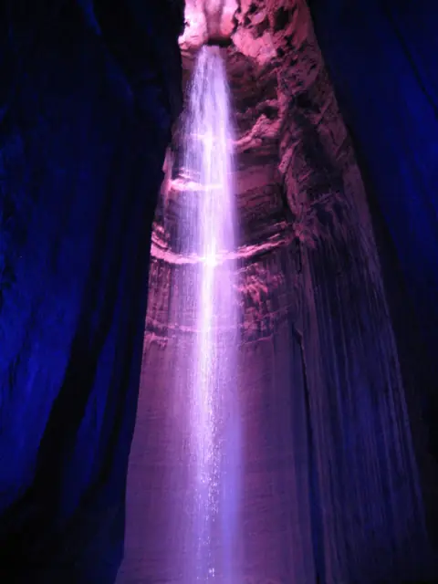
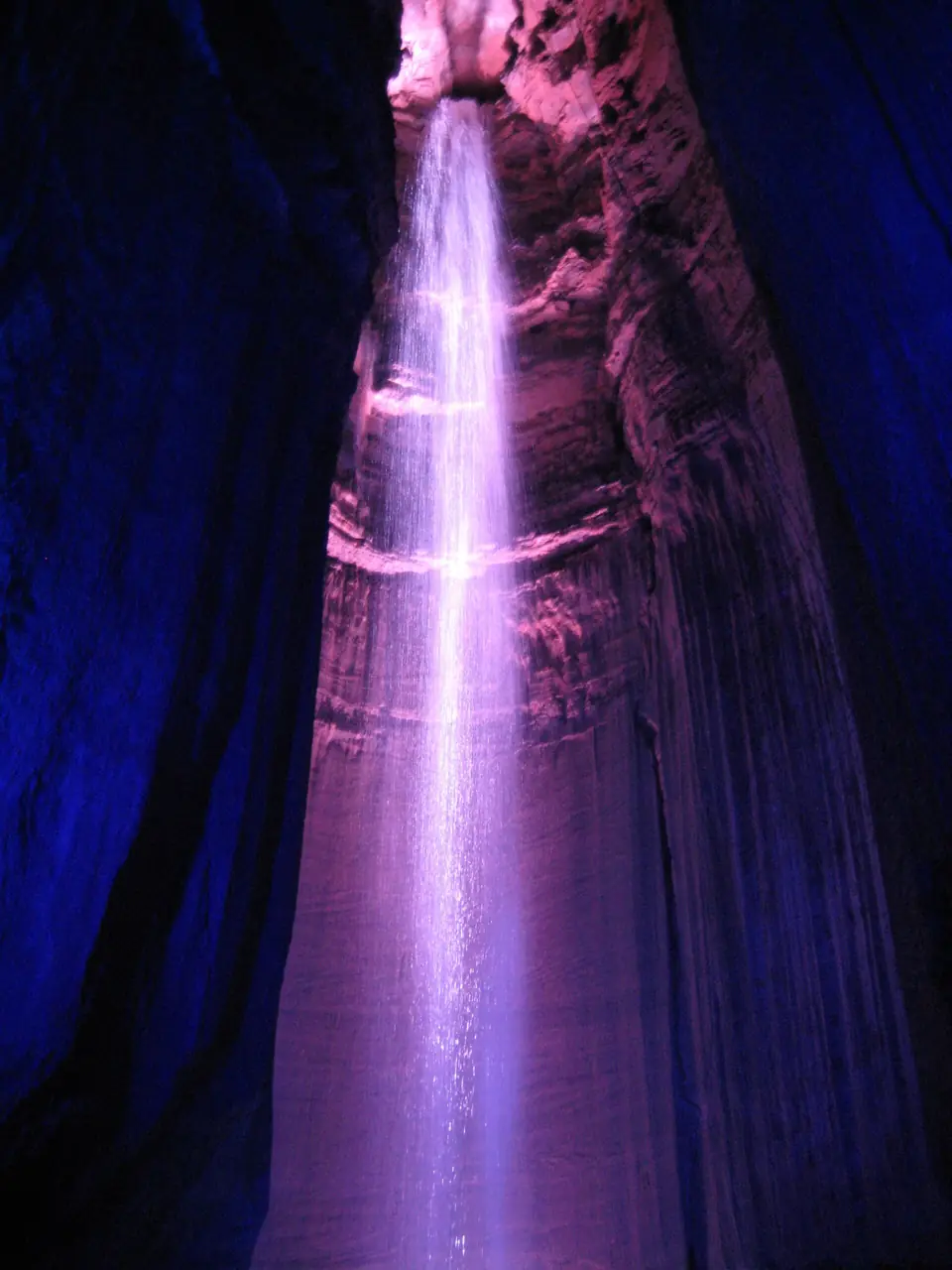
An underground waterfall deep inside Lookout Mountain, reached by elevator and a guided cave walk.
Ruby Falls6 mi straight-line · EasyOpen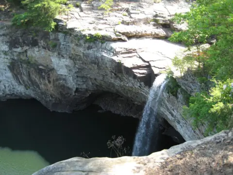
A 104-ft plunge near Mentone, AL; $5 parking and about 50 steps to a railed overlook.
DeSoto Falls41 mi straight-line · ModerateOpen104FT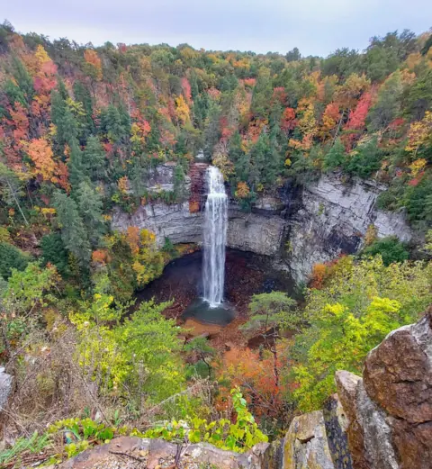
A 256-ft plunge you can see from a lot-side overlook, with a steep trail to the base.
Fall Creek Falls42 mi straight-line · EasyOpen256FT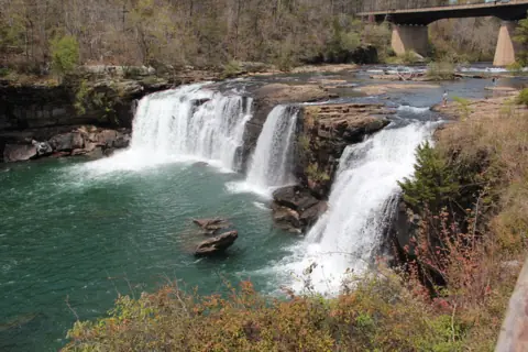
Free 45-ft falls at the AL-35 bridge; ADA boardwalk, lot often full on summer weekends.
Little River Falls51 mi straight-line · EasyOpen45FT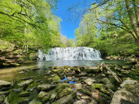
Free falls on private land near Tullahoma, a 0.2-mile walk from the church lot.
Rutledge Falls56 mi straight-line · Easy to moderateOpen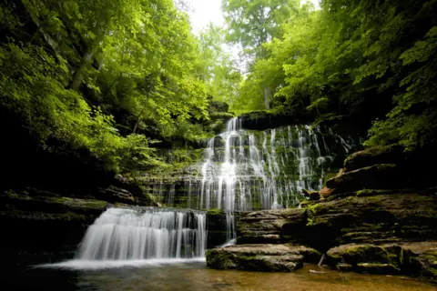
A broad falls of more than 60 ft near Tullahoma, with very limited parking.
Machine Falls58 mi straight-lineOpen60FT PLUS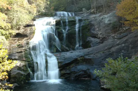
A 90-ft falls you can see from the bridge on Tellico River Road, open again after a long closure.
Bald River Falls63 mi straight-line · Roadside viewOpen90FT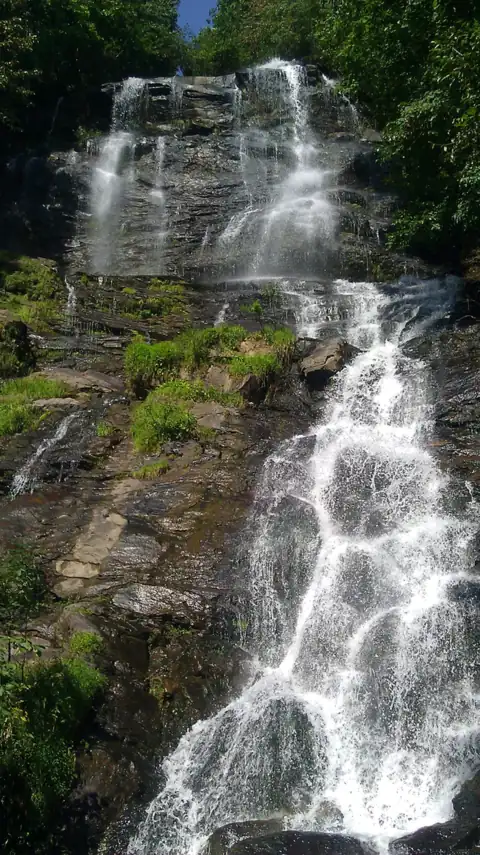
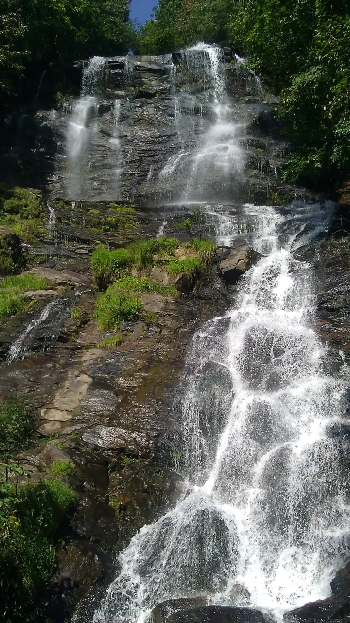
A 729-ft falls, which Wikipedia calls Georgia's tallest, with a 604-step staircase or a paved overlook path.
Amicalola Falls67 mi straight-line · HardPartly open729FT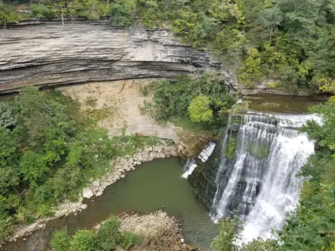
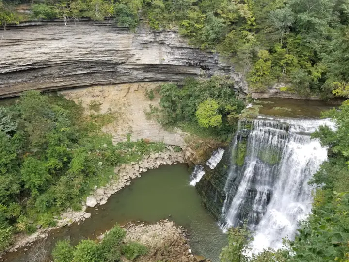
The largest of four falls on a 1.5-mile loop; the gorge is closed and parking reduced.
Burgess Falls70 mi straight-line · Moderately strenuousPartly open136FT
Map of waterfalls near Chattanooga
Map loads as you scroll. Open in OpenStreetMap
OpenPartly open / seasonalUnconfirmedClosedLarger map
Compare the waterfalls near Chattanooga
| Waterfall | Distance | Status | State | Height | Trail | Difficulty | Fee / permit | Swimming |
|---|---|---|---|---|---|---|---|---|
| Ruby Falls | 6 mi | Open | TN | Not listed | 1 mi cave walk | Easy | $29.95 adult | No |
| DeSoto Falls | 41 mi | Open | AL | 104 ft | About 50 steps to the overlook | Moderate | $5 parking per vehicle | No rule found for the base |
| Fall Creek Falls | 42 mi | Open | TN | 256 ft | Roadside overlook; 0.35 mi to base | Easy | Free | Not designated |
| Little River Falls | 51 mi | Open | AL | 45 ft | Boardwalk, a few minutes (NPS) | Easy | Free | Not banned; deaths have occurred |
| Rutledge Falls | 56 mi | Open | TN | Not listed | 0.2 mi | Easy to moderate | Free | Swimming hole; no lifeguard listed |
| Machine Falls | 58 mi | Open | TN | 60+ ft | Length not listed | None listed | No rule listed | |
| Bald River Falls | 63 mi | Open | TN | 90 ft | Roadside; Trail #88 is 5.6 mi one way | Roadside view | No fee listed | No rule listed |
| Amicalola Falls | 67 mi | Partly open | GA | 729 ft | Paved path or 604 steps | Hard | $10 / vehicle | No rule posted |
| Burgess Falls | 70 mi | Partly open | TN | 136 ft | 1.5 mi loop | Moderately strenuous | Free | No water access |
Where to stay near Chattanooga
Base yourself in Chattanooga, TN for a waterfall day. Open the map to compare hotels, cabins and rentals, or switch to tours and activities.
Or open the full stays map in a new tab
Affiliate links and map: we may earn a commission at no cost to you. The map loads from Stay22 only when you open it. Partners do not see or change our waterfall facts. Disclosure.
How the list breaks down
Only Ruby, DeSoto and Fall Creek Falls sit inside 50 miles, so this page uses a 75-mile circle that crosses into Alabama and Georgia. Tennessee has Ruby, Fall Creek, Rutledge, Machine, Bald River and Burgess Falls. Alabama has DeSoto and Little River Falls, and Georgia has Amicalola Falls.
Two of the nine are only partly open. Amicalola Falls has its East Ridge Trail closed for maintenance (undated notice, checked October 27, 2026), though the West Ridge path is open. At Burgess Falls, the latest park update we found (April 3, 2026) says the main overlook is open and the gorge is closed.
Foster Falls, which other Chattanooga lists include, has no page in this guide yet, so it is not on the map or in the table.
Tennessee's other falls are in the Tennessee waterfalls guide.
Ruby Falls: what the ticket covers
Ruby Falls is a private attraction inside Lookout Mountain, so it works differently from the park falls on this list.
- Tickets: timed-entry and sold online only, with no walk-up sales on site. The adult Cave Walk is $29.95. The Ruby Falls guide lists the other prices.
- The walk: a 260-ft elevator ride down, then a guided cave walk of just under a mile round trip.
- Access: the cave is not wheelchair or stroller accessible, though the overlook, plaza, shop and café are. Only service animals may enter the cave.
- Season: the cave stays about 60°F all year. Holidays at Ruby Falls runs November 27 to December 24, 2026.
Ruby Falls does not publish a height, and published figures disagree, so this guide doesn't list one.
Free falls and what the others charge
Costs on this list run from nothing to $29.95 a person.
- Free: Fall Creek Falls (no entry or parking fee) and Little River Falls (no charge for the area, per NPS). Burgess Falls is also free (no entry fee; we found no parking fee). Burgess is only partly open, with the gorge closed as of the April 3, 2026 park update. Rutledge Falls is free too, per TNVacation, though it sits on private land.
- No fee listed: Bald River Falls, per its Forest Service page, and Machine Falls, per TDEC.
- $5 per vehicle: parking at the DeSoto Falls Picnic Area, or a $50 annual pass valid for that picnic area only.
- $10 per vehicle: the Georgia State Park Pass at Amicalola Falls.
- $29.95 per adult: the Ruby Falls Cave Walk.
Little River Canyon's $15 day pass applies only to the Canyon Mouth Park Day-Use Area, not to the falls.
Water levels at the Alabama falls
The two Alabama falls depend on rain, so timing matters as much as distance.
- DeSoto Falls: Alabama State Parks says the falls are sometimes dry in summer and fall. Parking often fills on weekends, there is no overflow, and the area closes at dusk. The park says GPS is not reliable here, so use its written directions.
- Little River Falls: NPS lists winter and early spring for high flow, with low water in summer and early fall. The 100-car lot is often full by 11 a.m. (CST) on late-spring and summer weekends.
Swimming at Little River is not banned, but it is dangerous. NPS warns you can be carried over the falls in seconds, and says many rescues and even deaths have occurred. It requires you to stay at least 50 ft from the edge.
Pairing falls by area: Alabama, Tennessee, Georgia
Straight-line miles don't tell you how roads connect these falls, so check a route before you pair any two.
- Northeast Alabama: DeSoto Falls (41 straight-line miles) is near Mentone, with about 50 concrete steps to its overlook. Little River Falls (51 straight-line miles) is near Fort Payne, with an ADA boardwalk to the main overlook. Both falls pages list DeKalb County.
- Fall Creek Falls (42 straight-line miles): an overlook beside the parking lot, plus the Base of Falls Trail, about 0.35 miles each way and rated difficult.
- Rutledge Falls (56 straight-line miles): a 0.2-mile walk near Tullahoma, on private land the owners keep open to the public. TNVacation says "There is no fee to hike to the falls." It lists the trail as open dawn to dusk, year-round, so it is open, as far as we can tell (read Nov 4, 2026).
- Machine Falls (58 straight-line miles): a drop of more than 60 ft in Short Springs State Natural Area, also near Tullahoma. TDEC lists no fee. On Nov 6, 2026, its page said public access is allowed, so it is open, as far as we can tell. Parking is extremely limited, and the site is at capacity when the designated spots are full.
- Burgess Falls (70 straight-line miles): a 1.5-mile loop past four waterfalls, rated moderately strenuous. It is partly open, with the gorge closed and the stairs to the base removed, per the April 3, 2026 update.
- Bald River Falls (63 straight-line miles): a roadside view from a bridge on Tellico River Road near Tellico Plains.
- Amicalola Falls (67 straight-line miles): a paved accessible path to overlooks, or a 604-step climb. The East Ridge Trail is closed, but the West Ridge path is open.
At Fall Creek Falls State Park, the Piney Falls and Millikan's Overlook trails are closed after the August 2023 tornado. The Lower Loop Trail is also closed, and an undated park page lists the Cable Trail as closed.
Waterfalls near Chattanooga: FAQ
What is the best waterfall near Chattanooga?
That depends on the trip you want. For an indoor visit, Ruby Falls is a ticketed cave tour 6 miles straight-line from the city. Among the falls in this guide within 50 miles, Fall Creek Falls is the tallest at 256 ft, with free entry and an overlook beside the lot.
What should I know before visiting Ruby Falls?
Buy a timed ticket online, since Ruby Falls sells no walk-up tickets on site. The adult Cave Walk is $29.95. You ride a 260-ft elevator down, then walk just under a mile round trip with a guide. The cave is not wheelchair or stroller accessible. See the Ruby Falls guide.
What is the most beautiful waterfall in Tennessee?
We don't rank beauty, but height can be measured. Fall Creek Falls is 256 ft per Tennessee State Parks, 42 miles straight-line from Chattanooga. Burgess Falls is 136 ft per Wikipedia and the Friends of Burgess Falls, though Tennessee State Parks pages list either 103 or 136 ft. Its gorge was closed as of an April 3, 2026 park update. Bald River Falls is 90 ft per the Forest Service.
What waterfall day trips can I take from Chattanooga?
Northeast Alabama has two: DeSoto Falls, 41 miles straight-line, and Little River Falls, 51 straight-line miles out. Fall Creek Falls, 42 straight-line miles away, is the closest Tennessee state park falls on the list. Rutledge and Machine Falls, 56 and 58 straight-line miles out, are both near Tullahoma. Amicalola Falls in Georgia is 67 straight-line miles out. Its East Ridge Trail was closed when checked October 27, 2026, but the West Ridge path is open.
Are there free waterfalls near Chattanooga?
Yes. Four of the nine are free, and two more list no fee. The free ones include the 256-ft Fall Creek Falls, the boardwalk view at Little River Falls and Rutledge Falls on private land. Burgess Falls is free too, but only partly open: its gorge was closed as of the April 3, 2026 park update. Bald River Falls and Machine Falls have no fee listed.
Sources
Facts for each waterfall come from its own guide, where every source is listed. The city sources are below.
- Ruby Falls: Tickets
- Ruby Falls: Amenities and accessibility
- Alabama State Parks: DeSoto Falls Picnic Area
- Tennessee State Parks: Fall Creek Falls
- NPS Little River Canyon: Little River Falls
- USFS Cherokee National Forest: Bald River Falls (updated June 10, 2025; read Nov 3, 2026)
- Georgia State Parks: Amicalola Falls State Park (management and reservations)
- Tennessee State Parks: Burgess Falls
- TNVacation: Rutledge Falls (updated Oct 14, 2026; read Nov 4, 2026)
- TDEC: Short Springs State Natural Area, Machine Falls (read Nov 6, 2026)
- US Census Bureau: 2024 Gazetteer Files (places)
State guides: Alabama waterfalls, Georgia waterfalls, Tennessee waterfalls. More cities.
Photos: Jtesla16, CC BY-SA 3.0; TCR-III, CC BY-SA 3.0; Whippdog, CC0. Photo credits