Right now
Right now as of Oct 28, 2026
- Permit No permit needed. Entry fee: $3 / vehicle.
Status note (Oct 28, 2026): Open. The Forest Service page (last updated January 5, 2026) shows Site Open, and Recreation.gov lists the site open year-round with no closures (checked October 28, 2026). We found no Hurricane Helene, 2025 or 2026 closure. What the status labels mean
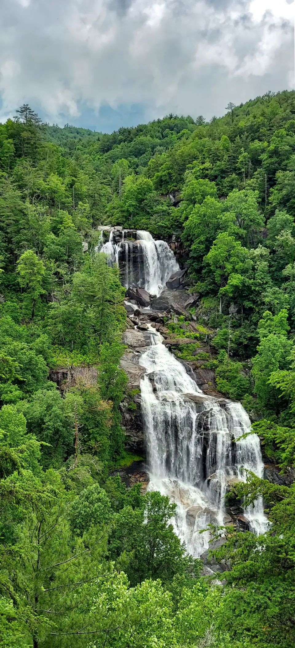
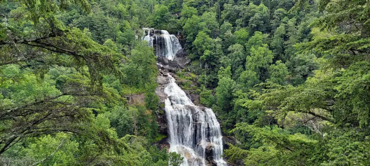
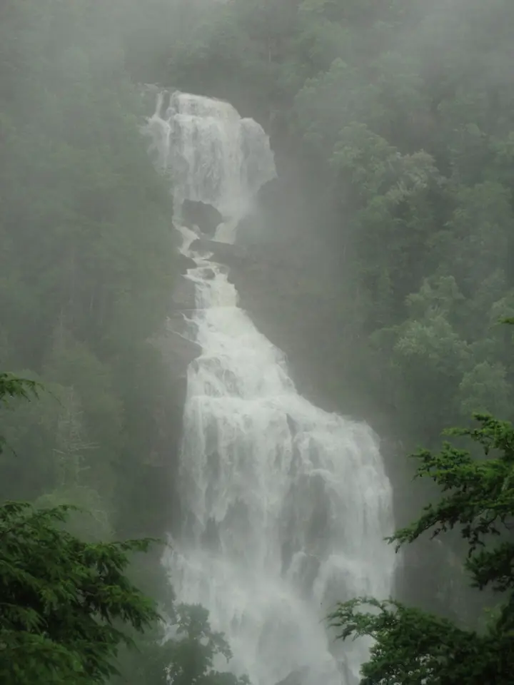
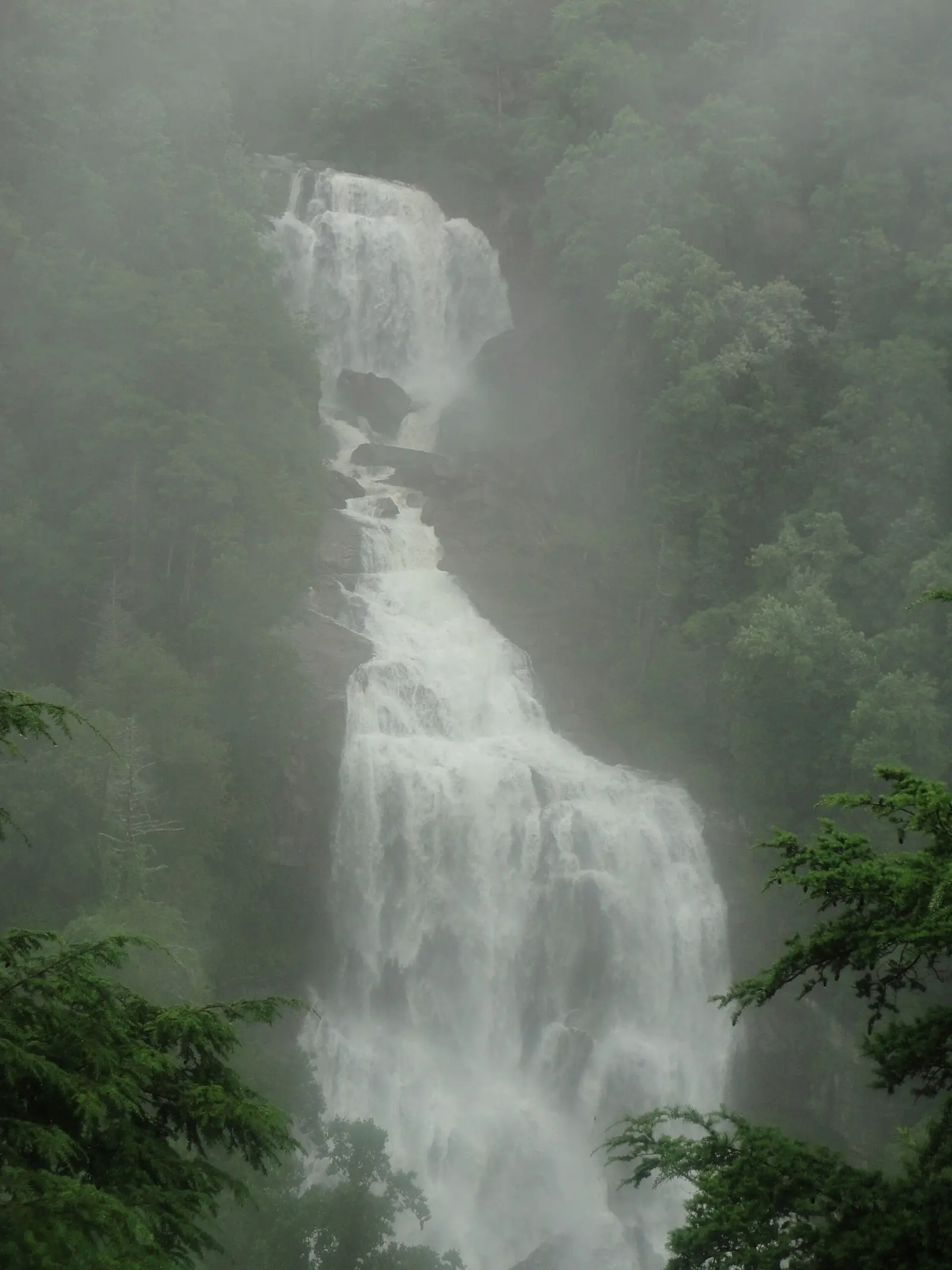
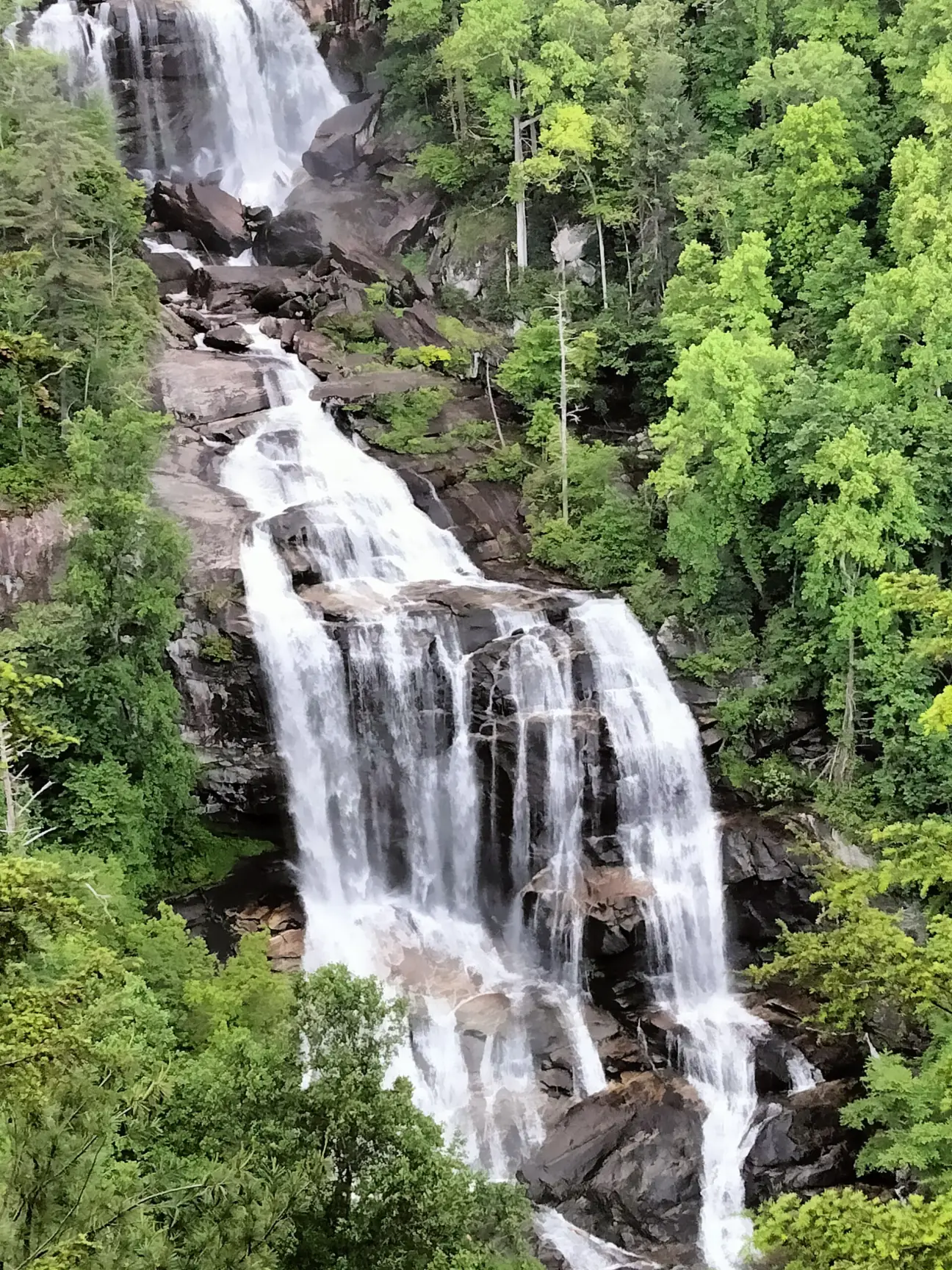
Upper Whitewater Falls drops 411 feet on the Whitewater River in Nantahala National Forest, south of Cashiers. A short paved walkway leads to the upper overlook, and 154 wooden steps continue down to a lower overlook. The latest official fee we found is $3 per vehicle per day (Forest Service, 2024). The site is open year-round. Lower Whitewater Falls is a separate hike in South Carolina.
About Whitewater Falls
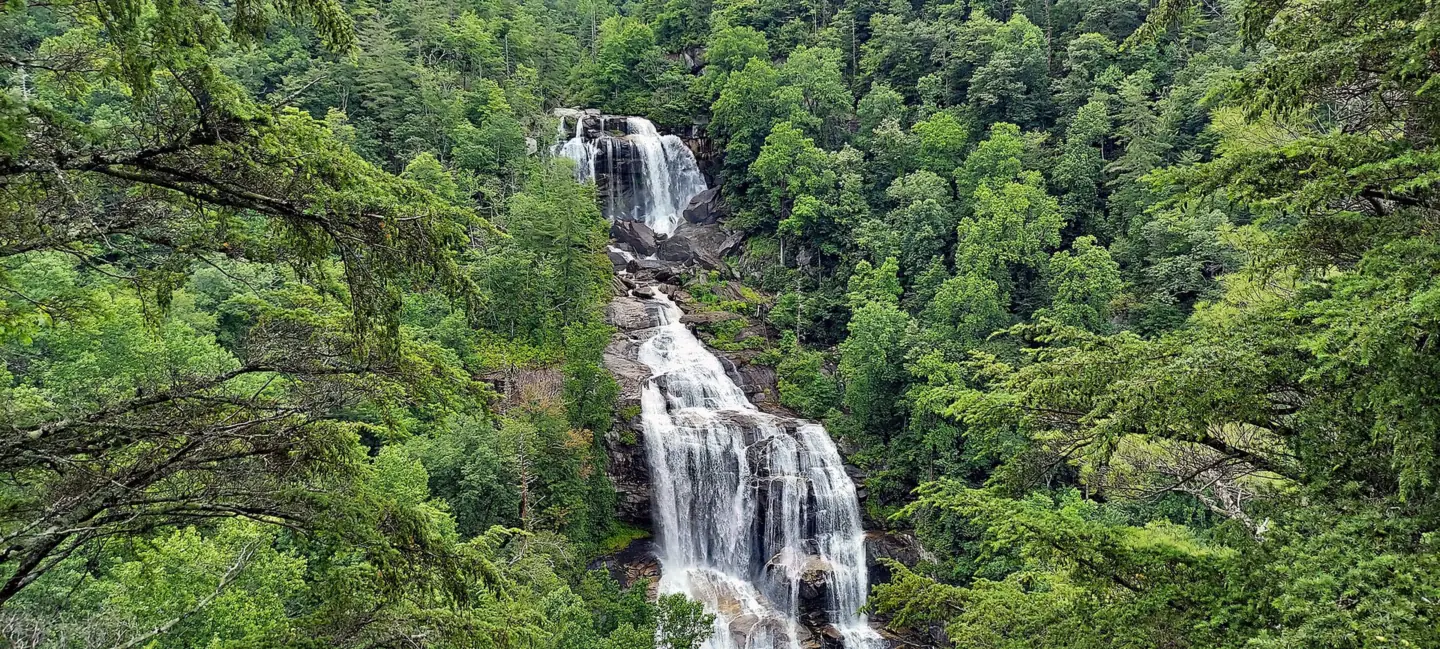
Whitewater Falls is a series of waterfalls and cascades on the Whitewater River. The upper falls drop 411 feet, according to the Forest Service and Wikipedia.
The Forest Service calls Upper Whitewater Falls the highest waterfall east of the Rockies.
The site has been rebuilt before. A November 2016 wildfire destroyed the overlook staircase and closed the site, WLOS reported. The site reopened once the stairs were rebuilt.
Upper vs Lower Whitewater Falls
The river keeps dropping after it leaves North Carolina. The river falls 1,500 feet over 3.5 miles and crosses into Oconee County, South Carolina, according to Wikipedia. There, Lower Whitewater Falls drops another 400 feet, per the Forest Service; Wikipedia gives 200 feet.
Lower Whitewater Falls has its own trailhead. The Foothills Trail Conference describes a 1.9-mile hike each way (3.8 miles round trip), rated moderate. The hike starts at Duke Energy's Bad Creek access on SC 130 and ends at the Lower Whitewater Falls Overlook.
Getting there and parking
Upper Whitewater Falls is reached from Cashiers on NC 107 south, near the NC-SC line, per the Forest Service. The latest official fee we found is $3 per vehicle per day (Forest Service, 2024).
From Cashiers and Lake Toxaway
The Forest Service directions start in Cashiers: take NC 107 south for 10 miles to the NC-SC line. Drive 1 more mile, take the first road to the left and follow the signs.
Discover Jackson NC gives a second route from the junction of US-64 and NC 281 west of Lake Toxaway. Drive south on NC 281 for 8.5 miles and turn left at the Whitewater Falls sign. The Forest Service lists the site at 35.02827, -83.01081.
Day-use fee and parking
The day-use lot is at the end of the access road. Recreation.gov says parking is not guaranteed, and vehicles parked outside designated areas may be fined and towed.
The Forest Service's 2024 fee proposal lists the current day-use fee as $3 per vehicle per day, or $15 for an annual pass. That pass also covers Dry Falls near Highlands and Whiteside Mountain. The same proposal would raise them to $5 and $30, but we found no sign it has been adopted (checked October 2026).
The Forest Service page says passes can be bought online at Recreation.gov. A pass bought on site is tied to your license plate and is valid only until closing that day.
Restroom listings conflict. Recreation.gov lists flush toilets and large picnic areas, and Discover Jackson NC lists modern restrooms. The Forest Service page, last updated January 2026, says restrooms are not available.
Map and nearby falls
Map loads as you scroll. Open in OpenStreetMap
OpenPartly open / seasonalUnconfirmedClosedLarger map
Paved walk and 154 steps to the overlooks
A paved walkway runs from the end of the parking lot to the upper overlook, the Forest Service says. Discover Jackson NC puts the overlook under a quarter mile away and says the on-site "0.5 mile" sign is wrong. Expect about half a mile round trip.
The Forest Service describes the paved walkway as wheelchair accessible. Discover Jackson NC notes that it is not level, so plan for some slope.
From the upper overlook, 154 wooden steps lead down to the lower overlook, per the Forest Service. Every step down is a step you climb back up.
A half-mile spur continues from the lower overlook about 600 feet down to the Whitewater River and the Foothills Trail, the Forest Service says. There is no trail to the base of the falls.
When to visit
Recreation.gov lists Whitewater Falls open year-round (checked October 28, 2026), and Discover Jackson NC says spring brings the heaviest flow.
Spring flow and October color
Discover Jackson NC says spring brings the heaviest flow and October brings peak color. It also names October as the busiest month.
The Forest Service says the site sees extremely high visitor numbers in the middle of the day and on holidays. It recommends visiting in the morning or evening.
We found no Hurricane Helene closure notice for Whitewater Falls and no closure for 2025 or 2026. Recreation.gov lists the site open year-round. The last major closure we found followed the 2016 wildfire.
Elsewhere in Nantahala National Forest, Glen Falls and Bridal Veil Falls are near Highlands.
When is the water highest?
At a USGS stream gauge about 7.5 mi from the falls, the flow averages highest in March and lowest in September, based on 17 years of records (1951 to 1967). These are older records from a gauge that no longer reports, so treat them as a rough seasonal guide.
Show the numbers
| Month | Average flow (cfs) |
|---|---|
| January | 184 |
| February | 248 |
| March | 265 |
| April | 262 |
| May | 190 |
| June | 153 |
| July | 130 |
| August | 119 |
| September | 104 |
| October | 140 |
| November | 130 |
| December | 180 |
| Height | 411 ftNote: upper falls, per the Forest Service and Wikipedia; the Forest Service says Lower Whitewater Falls in South Carolina falls another 400 ft, while Wikipedia gives 200 ft |
|---|---|
| Trail | About 0.5 mi round trip on a paved walkway to the upper overlook; 154 wooden steps down to the lower overlook |
| Difficulty | Easy to the upper overlook; strenuous climb back from the lower overlook and spur |
| Entry fee | $3 per vehicle per day or $15 annual pass (Forest Service 2024 fee proposal, the latest official figure we found, checked Oct 2026); check Recreation.gov |
| Permit / reservation | No permit; day-use fee applies |
| Parking | Day-use lot off NC 281; park only in marked areas |
| Hours / season | Dawn to dusk (Discover Jackson NC) |
| Swimming | No rule found; Recreation.gov asks visitors to stay on trails and overlooks |
| Wheelchair / stroller | Paved walkway to the upper overlook is accessible but not level; the lower overlook is stairs only |
| Walk behind the falls | No |
| Restrooms | Listings conflict: Recreation.gov lists flush toilets, while the Forest Service page (updated Jan 2026) says restrooms are not available |
| Best time to visit | Spring for flow; October for color (Discover Jackson NC) |
| Crowds | Very busy midday and on holidays; the Forest Service recommends mornings or evenings |
| Managed by | U.S. Forest Service, Nantahala National Forest (Nantahala Ranger District) |
Safety and swimming
Recreation.gov warns that visitors have fallen to their death or been seriously injured at Whitewater Falls. Recreation.gov asks visitors to stay on the trails. Do not leave the trail or walk out onto the rock near the falls.
We found no swimming rule for the site. There is no trail to the base, and the spur to the river and the Foothills Trail drops about 600 feet, per the Forest Service. Expect wet, slippery rock anywhere near moving water.
The 154 steps and the 600-foot spur are hard on the way back up. Carry water, take breaks, and leave time for the climb. See our waterfall safety guide for more.
Where to stay near Whitewater Falls
Compare hotels, cabins and rentals close to the falls around Cashiers.
See places to stay nearbyAffiliate link: we may earn a commission at no cost to you. Partners do not see or change our waterfall facts. Disclosure.
Photos


Whitewater Falls FAQ
Is Upper Whitewater Falls open?
Yes. The Forest Service page shows Site Open, and Recreation.gov lists the site open year-round with no closures as of October 2026. We found no Helene, 2025 or 2026 closure.
How tall is Whitewater Falls?
Upper Whitewater Falls drops 411 feet, according to the Forest Service and Wikipedia. The Forest Service calls it the highest waterfall east of the Rockies.
How much does it cost to visit Whitewater Falls?
Whitewater has a $3 day or $15 annual fee, per the Forest Service's 2024 fee proposal, the latest official figure we found. The annual pass also covers Dry Falls and Whiteside Mountain. A proposed rise to $5 has not been confirmed as adopted, so check Recreation.gov or the Forest Service before you go.
How long is the hike to Whitewater Falls?
Under a quarter mile each way on a paved path to the upper overlook, according to Discover Jackson NC. From there, 154 wooden steps lead down to the lower overlook.
How many steps to the lower overlook at Whitewater Falls?
154 wooden steps lead down from the upper overlook to the lower overlook, according to the Forest Service.
Is Whitewater Falls wheelchair accessible?
The paved walkway to the upper overlook is accessible, according to the Forest Service, though it is not level. The lower overlook is reached only by stairs.
Where is Lower Whitewater Falls?
In Oconee County, South Carolina, downstream of the NC falls. The Foothills Trail Conference describes a 1.9-mile hike each way, rated moderate, from Duke Energy's Bad Creek access on SC 130.
Can you hike to the bottom of Whitewater Falls?
No. There is no trail to the base, per the Forest Service. A spur from the lower overlook drops about 600 feet to the Whitewater River and the Foothills Trail.
Nearby waterfalls
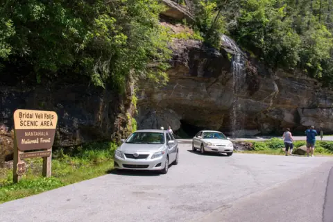 Bridal Veil Falls13 mi straight-lineOpen45FT
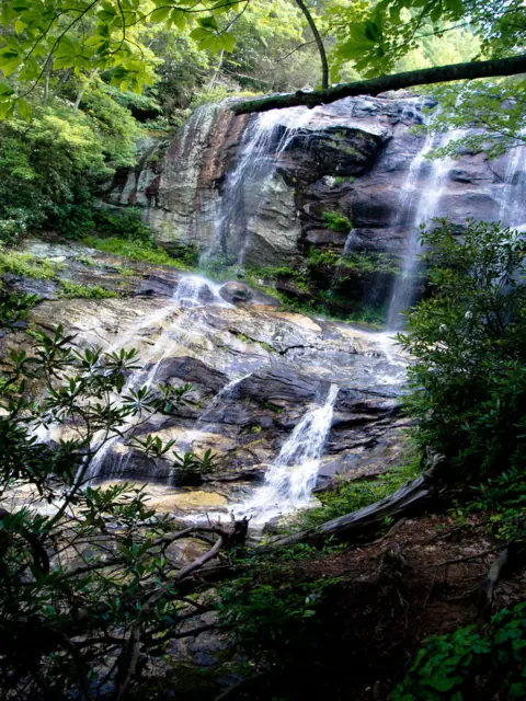 Glen Falls13 mi straight-lineOpen70FT
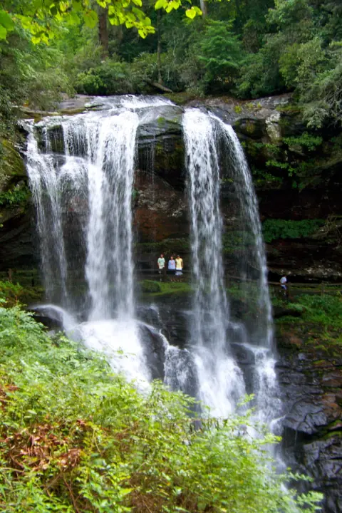 Dry Falls13 mi straight-lineOpen75FT
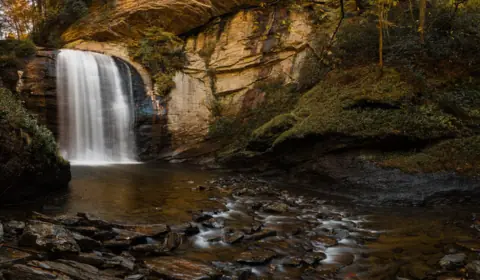 Looking Glass Falls23 mi straight-lineOpen60FT
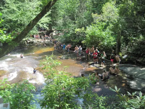 Sliding Rock23 mi straight-lineOpen60FT
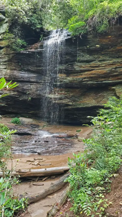 Moore Cove Falls24 mi straight-lineOpen50FT
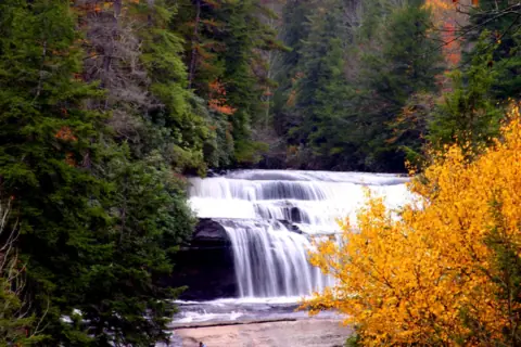 Triple Falls & High Falls25 mi straight-linePartly open125FT
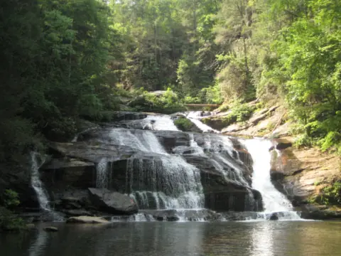 Panther Creek Falls32 mi straight-linePartly open70FT
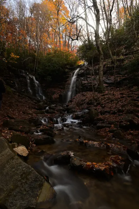 Soco Falls33 mi straight-lineOpen120FT
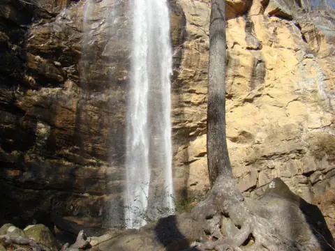 Toccoa Falls36 mi straight-lineOpen186FT
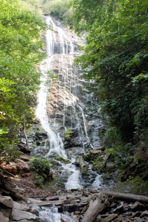 Mingo Falls38 mi straight-lineOpen120FT
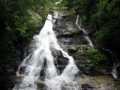 High Shoals Falls43 mi straight-lineOpen
All waterfalls in North Carolina
City guides: Waterfalls near Asheville, NC · Waterfalls near Brevard, NC · Waterfalls near Cherokee, NC
On these lists: Easy waterfall hikes
Sources
Some facts credited to the Forest Service come from search-result excerpts of its official pages. Confirm fees and rules on the official site.
- USDA Forest Service: Whitewater Falls (last updated Jan 5, 2026; Site Open)
- Recreation.gov: Whitewater Falls Pass
- Discover Jackson NC: Whitewater Falls
- Wikipedia: Whitewater Falls (North Carolina)
- WLOS: Whitewater Falls reopens after wildfire damage
- Smoky Mountain News archive: Forest Service proposes recreation fee changes (2024)
- USDA Forest Service: National Forests in North Carolina alerts (archived Jul 8, 2026)
- USDA Forest Service Southern Region: Whitewater Falls brochure R8-RG 286 (slightly revised Sept 2012)
- Foothills Trail Conference: Lower Whitewater Falls
Last verified Oct 28, 2026 by The Waterfall Guide editorial team. Conditions change: confirm with U.S. Forest Service, Nantahala National Forest (Nantahala Ranger District) before you go. Spotted something out of date? Report a correction.