Right now
Right now as of Oct 28, 2026
- Status The Forest Service page (updated April 17, 2026) says the trail is open to intermediate and advanced hikers only, with a hiker warning for washed-out tread.
- Permit No permit needed. Entry fee: $4 / vehicle (unconfirmed).
- Heads-up Closed for Helene repairs (Forest Service).
Status note (Oct 28, 2026): Partial. The Forest Service page (updated April 17, 2026) says the trail is open to intermediate and advanced hikers only, with a hiker warning for washed-out tread. The parking area, picnic area and bathrooms are closed for Hurricane Helene repairs under order CO-25-01, effective April 1, 2025. We found no 2026 reopening. What the status labels mean
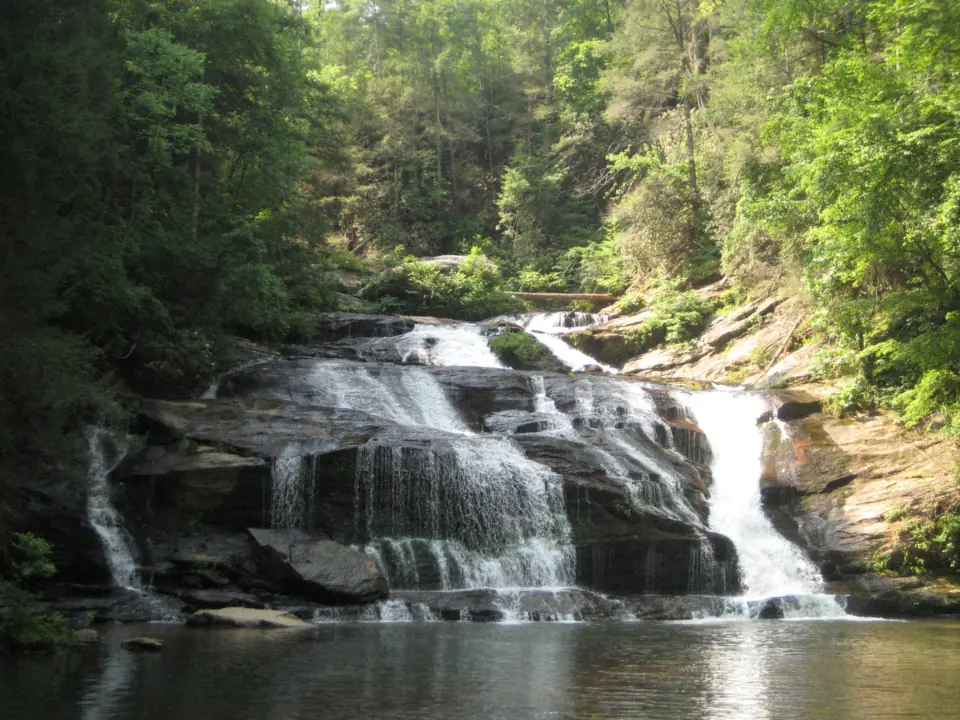
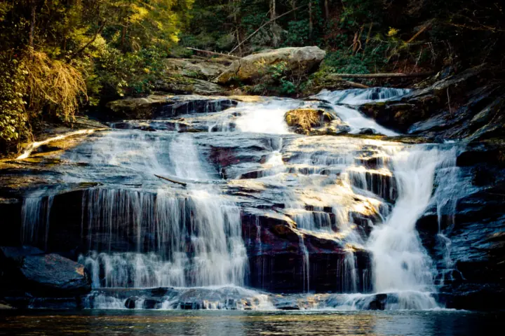
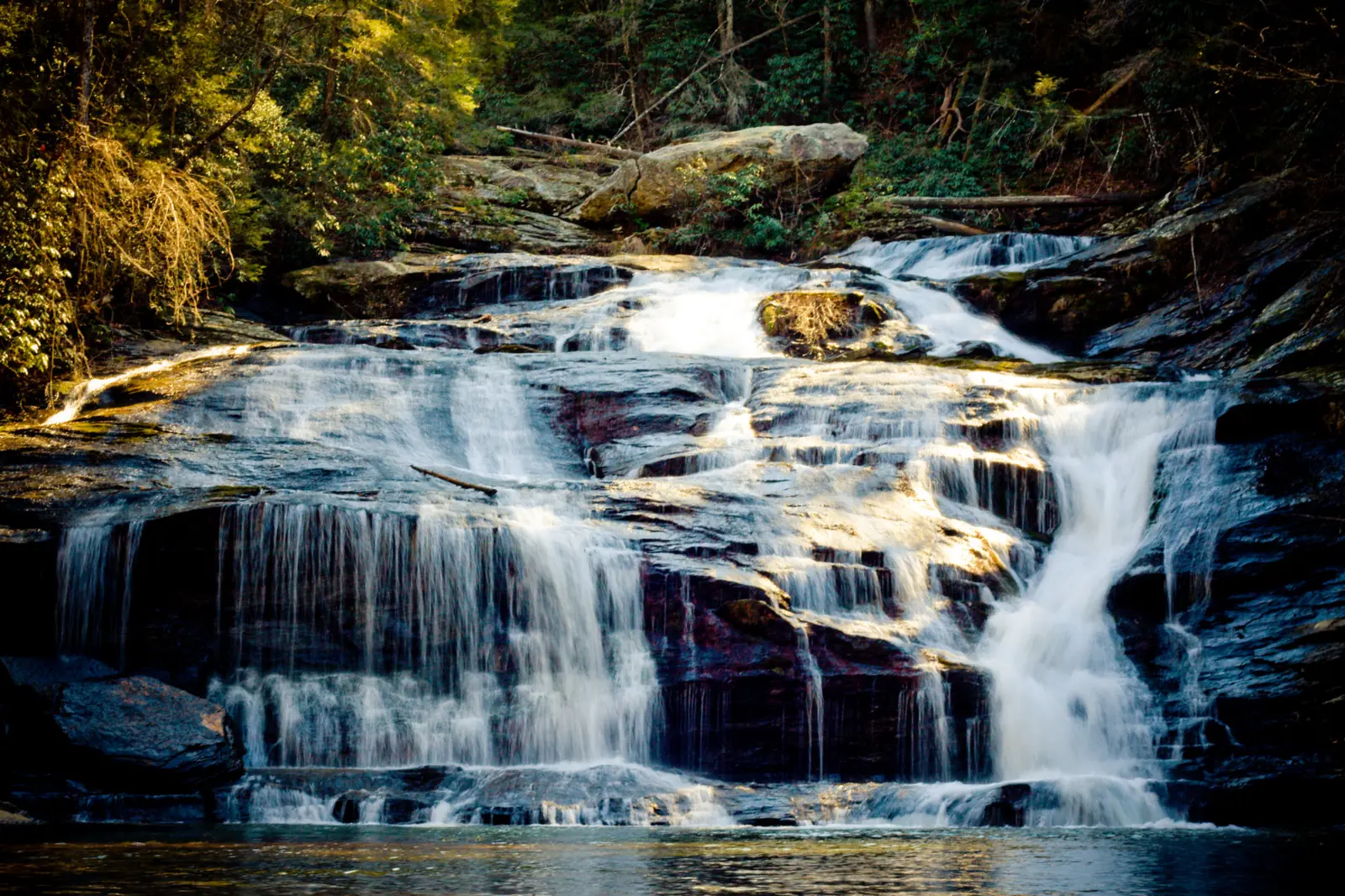
Panther Creek Falls is on Panther Creek in Chattahoochee-Oconee National Forest, between Clarkesville and Tallulah Falls in north Georgia. No official source gives the height, but Blue Ridge Outdoors wrote in 2009 that Panther Creek Falls drops more than 70 feet. The Forest Service says the recreation area is closed for Hurricane Helene repairs, including its parking area, picnic area and bathrooms. The 3.5-mile trail is open to intermediate and advanced hikers only, with a warning about washed-out tread.
About Panther Creek Falls
Panther Creek Falls is on Panther Creek in Chattahoochee-Oconee National Forest, reached from the Panther Creek Recreation Area of the Chattooga River Ranger District. The recreation area is on the west side of US-441 between Clarkesville and Tallulah Falls, according to Explore Georgia.
We could not confirm the height of the falls from an official source. Blue Ridge Outdoors wrote in 2009 that the falls drop more than 70 feet to a wide basin pool. Other third-party figures range from about 50 feet to 80 feet, and there is no Wikipedia article for these falls.
Recreation.gov describes the pool at the base as a popular swimming spot.
Hurricane Helene changed access here. The Forest Service closed the recreation area under order CO-25-01, effective April 1, 2025, and the order lists no end date. Its project page described a closure of up to two years.
Some articles describe Panther Creek as reopened. The Northeast Georgian's "back on track" story is dated July 13, 2022, so it covers an earlier closure. A high-intensity rain event had washed out trail sections and footbridges. The 2022 closure predates Hurricane Helene.
Not the Washington Panther Creek Falls
The Panther Creek Falls on this page is in Habersham County, Georgia, off US-441 near Turnerville. Washington's Panther Creek Falls is a separate waterfall near Carson, in Gifford Pinchot National Forest in the Columbia River Gorge area, per Friends of the Columbia Gorge.
Getting there and parking
The usual access is the National Forest lot at 3995 Old Historic 441, Turnerville, GA, per the Forest Service. Explore Georgia puts it about 8 miles north of Hollywood, Georgia. Hikers cross US-441 to reach the trailhead, according to Explore Georgia.
Parking while the recreation area is closed
The Forest Service page, updated April 17, 2026, says the picnic area, parking area and bathrooms are closed for Helene damage. The Forest Service asks visitors to stay out of the closed area. The trail stays open.
We found no official alternate parking, and the Forest Service page names none. Call the Chattooga River Ranger District at 706-754-6221 before you drive out. Recreation.gov still sells a day pass but tells visitors to check the forest website for closures.
Fees
Fees are also unsettled. Recreation.gov sells a day pass for the site but shows no price. Explore Georgia's undated listing says $4 per vehicle, the same amount the Northeast Georgian reported in July 2022. Unlike Raven Cliff Falls, Panther Creek accepts the full range of America the Beautiful passes, including the annual pass.
Map and nearby falls
Map loads as you scroll. Open in OpenStreetMap
OpenPartly open / seasonalUnconfirmedClosedLarger map
Panther Creek Trail (3.5 miles each way)
The Forest Service gives the Panther Creek Trail as 3.5 miles one way, about 7 miles round trip. Recreation.gov lists 3.3 miles one way, and Atlanta Trails gives 6.9 miles round trip.
The Forest Service has limited the trail to intermediate and advanced hikers. Its hiker warning says sections of the trail tread washed away. Passage to the falls is possible, but hikers should use extra safety precautions.
Footbridges upstream of the falls washed out in an earlier flood, the Northeast Georgian reported in 2022. No official notice says they have been replaced, so expect stream crossings.
The trail is natural surface and is not wheelchair accessible. The site has no potable water, and the bathrooms are closed, so bring what you need for a hike of about 7 miles.
Atlanta Trails says leashed dogs are allowed but warns it might be a challenging hike for them. We found no Forest Service rule on dogs.
When to visit
The Panther Creek Trail is open to intermediate and advanced hikers only, per the Forest Service page updated April 17, 2026. The parking area, picnic area and bathrooms remain closed for Helene repairs.
Helene closure timeline
Hurricane Helene hit in September 2024. The Forest Service closure order CO-25-01 took effect April 1, 2025, with an alert dated April 7, 2025.
The Forest Service page was updated April 17, 2026 and still describes the site as temporarily closed for repairs, with the trail open. We found no 2026 reopening. Check the Chattahoochee-Oconee National Forest alerts page before each trip.
Season and crowds
We found no official guidance on the best season or crowd levels for Panther Creek. Blue Ridge Outdoors wrote in 2009 that the falls are almost always filled with people splashing about on warm summer days. The 2009 article predates Helene, and the main lot is now closed.
Other north Georgia falls on this site include Toccoa Falls and Anna Ruby Falls, both with much shorter walks.
When is the water highest?
At a USGS stream gauge about 2.3 mi from the falls, the flow averages highest in March and lowest in October, based on 30 complete years of records between 1944 and 2012. These are older records from a gauge that no longer reports, so treat them as a rough seasonal guide.
Show the numbers
| Month | Average flow (cfs) |
|---|---|
| January | 79 |
| February | 94 |
| March | 107 |
| April | 103 |
| May | 77 |
| June | 72 |
| July | 54 |
| August | 44 |
| September | 40 |
| October | 40 |
| November | 45 |
| December | 56 |
| Height | 70 ftNote: more than 70 ft per Blue Ridge Outdoors (2009); third-party figures range from about 50 to 80 ft; no official height |
|---|---|
| Trail | 3.5 mi one way (Forest Service; Recreation.gov says 3.3); washed-out tread and stream crossings |
| Difficulty | Open to intermediate and advanced hikers only (Forest Service) |
| Entry fee | $4 per vehicle per day (Explore Georgia, undated; not confirmed for 2026) |
| Permit / reservation | No permit; Recreation.gov day-pass site |
| Parking | Main lot closed for Helene repairs; no official alternate found |
| Dogs | Leashed dogs allowed, per Atlanta Trails, which adds it might be a challenging hike for dogs. We found no Forest Service statement. |
| Swimming | Recreation.gov calls the pool at the base of the falls a popular swimming spot |
| Wheelchair / stroller | No |
| Walk behind the falls | No |
| Restrooms | Closed for Helene repairs (Forest Service) |
| Crowds | Blue Ridge Outdoors (2009) said the falls are 'almost always filled with people splashing about on warm summer days'. That report predates Helene, and the main lot is now closed. |
| Managed by | U.S. Forest Service, Chattahoochee-Oconee National Forest (Chattooga River Ranger District) |
Safety and swimming
The Forest Service lists an active caution alert about waterfall dangers for this site.
Recreation.gov calls the pool at the base a popular swimming spot, and we found no Forest Service swimming rule. If you swim, enter slowly, stay away from the falling water, and never jump from the rocks.
With footbridges reported out, expect stream crossings. Do not cross when the water is high or fast after rain, and turn back if a crossing looks unsafe.
Respect closure signs at the recreation area, and do not enter closed facilities. The Forest Service limits the trail to intermediate and advanced hikers. See our waterfall safety guide before you go.
Where to stay near Panther Creek Falls
Compare hotels, cabins and rentals close to the falls around Turnerville.
See places to stay nearbyAffiliate link: we may earn a commission at no cost to you. Partners do not see or change our waterfall facts. Disclosure.
Photos
Panther Creek Falls FAQ
Is Panther Creek Falls open in 2026?
The trail is open, but only to intermediate and advanced hikers, with a warning about washed-out tread. The parking area, picnic area and bathrooms are still closed for Helene repairs, per the Forest Service page updated April 17, 2026.
Was Panther Creek damaged by Hurricane Helene?
Yes. The Forest Service closed the recreation area under order CO-25-01, effective April 1, 2025, because of Helene damage. Sections of the trail tread also washed away.
How long is the Panther Creek Falls hike?
The Forest Service gives 3.5 miles one way, about 7 miles round trip. Recreation.gov lists 3.3 miles one way, and Atlanta Trails gives 6.9 miles round trip.
Is Panther Creek Falls a hard hike?
Yes for most people. The Forest Service limits the trail to intermediate and advanced hikers during Helene repairs. It runs 3.5 miles one way, with washed-out tread and stream crossings.
Is there a fee at Panther Creek Recreation Area?
Yes, Panther Creek is a Recreation.gov day-pass site, but Recreation.gov shows no price. Explore Georgia lists $4 per vehicle per day in an undated listing. America the Beautiful passes, including the annual pass, are accepted.
Can you swim at Panther Creek Falls?
We found no Forest Service swimming rule. Recreation.gov describes the pool at the base of Panther Creek Falls as a popular swimming spot.
Are the bridges on the Panther Creek Trail fixed?
We found no official notice saying they have been replaced. Expect to cross streams, and avoid crossings when the water is high.
Is this the Panther Creek Falls in Georgia or Washington?
This page covers the Georgia falls in Habersham County, off US-441 near Turnerville. Washington's Panther Creek Falls is a separate waterfall near Carson, in Gifford Pinchot National Forest in the Columbia River Gorge area.
Nearby waterfalls
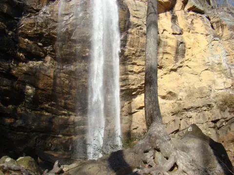 Toccoa Falls6 mi straight-lineOpen186FT
 Anna Ruby Falls19 mi straight-lineOpen153FT
 High Shoals Falls21 mi straight-lineOpen
 Raven Cliff Falls24 mi straight-lineOpen60FT
 Glen Falls26 mi straight-lineOpen70FT
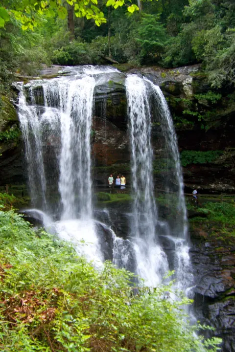 Dry Falls28 mi straight-lineOpen75FT
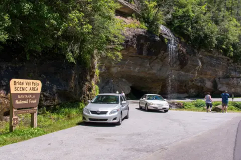 Bridal Veil Falls29 mi straight-lineOpen45FT
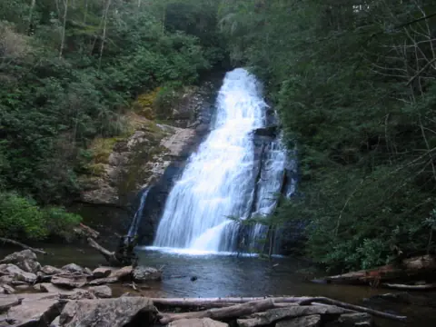 Helton Creek Falls29 mi straight-lineOpen100FT COMBINED, 100+
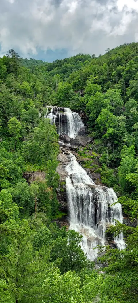 Whitewater Falls32 mi straight-lineOpen411FT
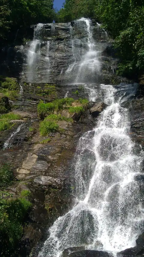 Amicalola Falls49 mi straight-linePartly open729FT
 Looking Glass Falls55 mi straight-lineOpen60FT
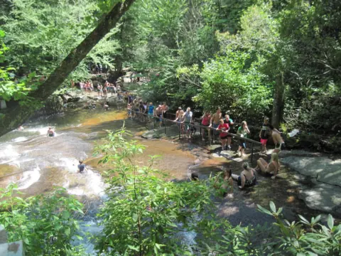 Sliding Rock55 mi straight-lineOpen60FT
City guides: Waterfalls near Atlanta, GA · Waterfalls near Blue Ridge, GA · Waterfalls near Helen, GA
On these lists: Dog-friendly waterfalls · Waterfalls you can swim in
Sources
Some facts credited to the Forest Service come from search-result excerpts of its official pages. Confirm fees and rules on the official site.
- USDA Forest Service: Panther Creek Recreation Area (updated Apr 17, 2026)
- USDA Forest Service alert: Closed, Panther Creek Rec Area due to storm damage
- USDA Forest Service project: Panther Creek Recreation Area Temporary Closure (decision 04/01/2025)
- Recreation.gov: Panther Creek Falls Picnic Area and Trailhead Pass
- Explore Georgia: Panther Creek Falls & Recreation Area
- Atlanta Trails: Panther Creek Falls
- Blue Ridge Outdoors: Panther Creek Falls Trail, Georgia (Leonard Adkins, June 1, 2009)
- The Northeast Georgian: Panther Creek back on track (July 13, 2022)
- USDA Forest Service: Chattahoochee-Oconee Forest Supervisor's Orders (updated Aug 14, 2026)
- Friends of the Columbia Gorge: Panther Creek Falls (Washington)
Last verified Oct 28, 2026 by The Waterfall Guide editorial team. Conditions change: confirm with U.S. Forest Service, Chattahoochee-Oconee National Forest (Chattooga River Ranger District) before you go. Spotted something out of date? Report a correction.