Right now
Right now as of Oct 28, 2026
- Permit No permit needed. Fee: no fee listed.
Status note (Oct 28, 2026): Open. The National Forests in North Carolina alerts page listed no closure for Glen Falls Trail #8 when we checked on October 28, 2026. The Laurel Magazine (undated) warns that parts of the trail have washed away, so take care on the descent. What the status labels mean
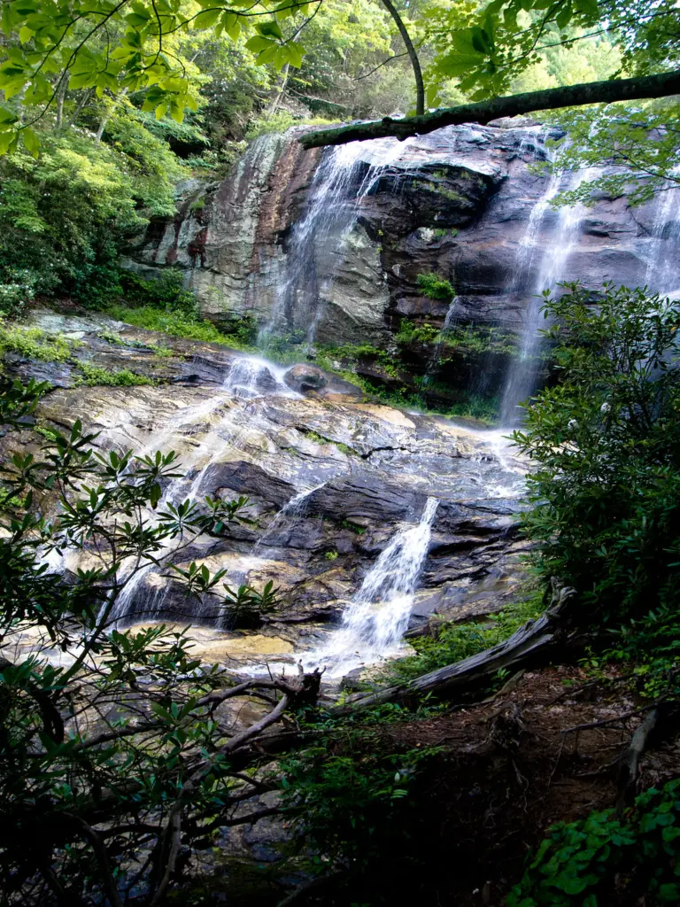
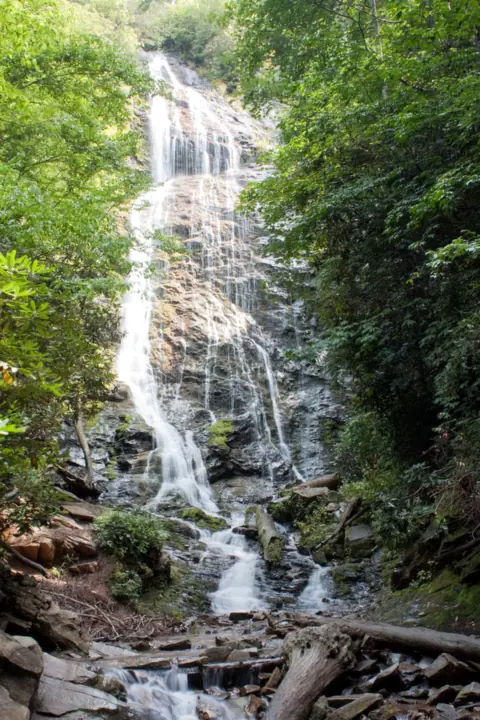
Glen Falls is a set of three cascades southwest of Highlands in Nantahala National Forest. The upper falls drop about 70 feet, and the full out-and-back to the lowest falls is about 2 miles. The trail goes downhill first, so the walk back to your car is all uphill.
About Glen Falls
The Forest Service lists this route as Glen Falls Trail #8, leading to three separate waterfalls. According to the Highlands Chamber, the upper falls drop about 70 feet, the middle about 60 feet and a smaller lower section about 15 feet.
Observation decks sit along the way, so you can stop at the upper falls or keep heading down. You may also see the name spelled "Glenn Falls".
Don't mix this trail up with similar names. Glen Falls near Highlands is not the city of Glens Falls in New York, and it is not the Glen Falls trail on Lookout Mountain in Tennessee.
Glen Falls is one of several Forest Service waterfalls near Highlands in Macon County. Dry Falls and Bridal Veil Falls are roadside stops on US-64, west of town.
Getting there and parking
The Glen Falls trailhead is a small lot at the end of Glen Falls Road (SR 1618), per the Highlands Chamber. It is a gravel road off NC-106 southwest of Highlands.
Directions from Highlands
From Highlands, head down NC-106 for about 1.7 miles, according to the Highlands Chamber. Turn left at the Glen Falls sign onto Glen Falls Road (SR 1618), a gravel road. It reaches the parking area after about 1 mile.
Drive the gravel stretch slowly, especially after rain.
Parking
The lot is small, so have a backup plan if it is full. Neither the Forest Service nor the Highlands Chamber lists a fee.
The Forest Service does not confirm restrooms at the trailhead. Plan a stop in Highlands before you drive out to the trail.
Toward Cashiers, Whitewater Falls is another Forest Service falls.
Map and nearby falls
Map loads as you scroll. Open in OpenStreetMap
OpenPartly open / seasonalUnconfirmedClosedLarger map
The hike
The Forest Service lists Glen Falls Trail #8 as 0.60 miles long, leading to three separate waterfalls. The Highlands Chamber puts the full out-and-back at about 2 miles round trip, though its own distance field shows 2.4 miles.
Upper, middle and lower falls
The first observation deck, at the upper falls, is about 0.5 miles from the parking area, according to the Highlands Chamber. Turning back here makes a hike of about 1 mile round trip.
The middle falls are about 1/3 mile farther down, per the Chamber. Trail guide Asheville Trails says the lowest viewpoint is reached by a right fork. The Forest Service says the third falls has a family-friendly swimming hole.
Going all the way to the lowest falls and back makes about 2 miles. You descend on the way in, and the return is uphill the whole way.
Difficulty
The Chamber rates the hike moderate, lists 784 feet of ascent for the full hike and estimates about 1.5 hours.
The tread is a natural surface, and the trail is not wheelchair accessible. Trail guides say leashed dogs are allowed, but the Forest Service page does not address pets.
When to visit
Glen Falls has no posted hours or seasonal closure. Sources don't name a best season, so check recent conditions with the Nantahala Ranger District if flow matters to you.
Nantahala National Forest began reopening Helene-closed areas on October 11, 2024. The Forest Service alerts page listed no closure for this trail on October 28, 2026. To check current conditions, call the Nantahala Ranger District at (828) 524-6441 on weekdays.
The Laurel Magazine's undated listing warns that parts of the trail have washed away and advises caution. The current Highlands Chamber page does not mention washouts.
Because the return climb is the hard part, start with plenty of daylight and water. Leaving extra time lets you climb back to the Glen Falls lot at an easy pace.
| Height | 70 ftNote: upper falls about 70 ft, middle about 60 ft and lower about 15 ft per the Highlands Chamber |
|---|---|
| Trail | About 1 mi round trip to the upper-falls deck; about 2 mi round trip to the lowest falls (Highlands Chamber) |
| Difficulty | Moderate |
| Time needed | About 1.5 hours for the full hike (Highlands Chamber) |
| Entry fee | No fee listed by the Forest Service or the Highlands Chamber |
| Permit / reservation | None needed |
| Parking | Small lot at the end of gravel SR 1618 |
| Dogs | Leashed dogs allowed, according to trail guides (not confirmed by the Forest Service) |
| Swimming | The Forest Service says the third falls has a family-friendly swimming hole, and it warns that the areas around the falls are very slippery. |
| Wheelchair / stroller | No |
| Walk behind the falls | No |
| Managed by | U.S. Forest Service, Nantahala Ranger District |
Safety and swimming
The Forest Service warns that the areas around the falls are very slippery. Stay on the trail and the decks. Keep off the rock at the top of each drop.
The Forest Service says the third falls has a swimming hole that is family friendly. If you swim, stay in the pool below the falls, never in the water above a drop. Do not jump in, and watch for slick rock at the edge.
Any washed-out section adds risk, especially when wet. Wear shoes with good grip, and turn back if a section looks unstable. Save some energy for the uphill walk out.
For general tips, see our waterfall safety page.
Where to stay near Glen Falls
Compare hotels, cabins and rentals close to the falls around Highlands.
See places to stay nearbyAffiliate link: we may earn a commission at no cost to you. Partners do not see or change our waterfall facts. Disclosure.
Glen Falls FAQ
Where is Glen Falls in North Carolina?
In Nantahala National Forest in Macon County, about 3 miles southwest of Highlands by road. Take NC-106 about 1.7 miles, then gravel Glen Falls Road about 1 mile (Highlands Chamber). It is not Glens Falls, NY, or Glen Falls on Lookout Mountain, TN.
How long is the Glen Falls hike?
The Forest Service lists Trail #8 at 0.60 miles. The Highlands Chamber gives about 1 mile round trip to the upper-falls deck and about 2 miles round trip to the lowest falls.
Is the Glen Falls trail hard?
The Highlands Chamber rates it moderate. You descend to the falls, so the hike back is uphill. The Chamber lists 784 feet of ascent for the full hike and about 1.5 hours of walking.
How do you get to Glen Falls from Highlands?
Take NC-106 about 1.7 miles and turn left at the Glen Falls sign. Follow the gravel road (SR 1618) about 1 mile to the parking area at its end, the Highlands Chamber says.
Can you swim at Glen Falls?
Yes, at the third falls. The Forest Service says it has a family-friendly swimming hole. The rocks near all three falls are very slippery, so stay below the falls and never jump in.
Is Glen Falls open?
Yes. The National Forests in North Carolina alerts page listed no closure for Glen Falls Trail #8 on October 28, 2026. The Laurel Magazine (undated) says parts of the trail have washed away. For current conditions, call the Nantahala Ranger District in Franklin at (828) 524-6441 on weekdays. No Helene closure is listed for this trail.
Are dogs allowed on the Glen Falls Trail?
Trail guides say leashed dogs are allowed. The Forest Service page does not address dogs, so this is not confirmed. Keep yours on a leash.
Nearby waterfalls
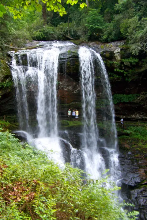 Dry Falls3 mi straight-lineOpen75FT
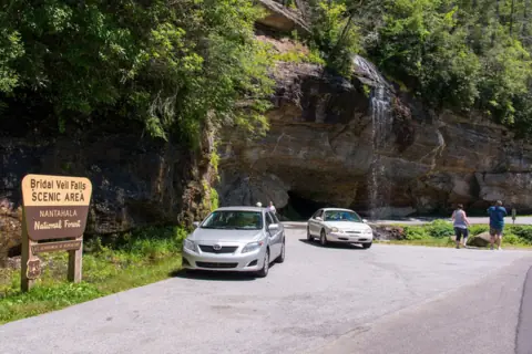 Bridal Veil Falls3 mi straight-lineOpen45FT
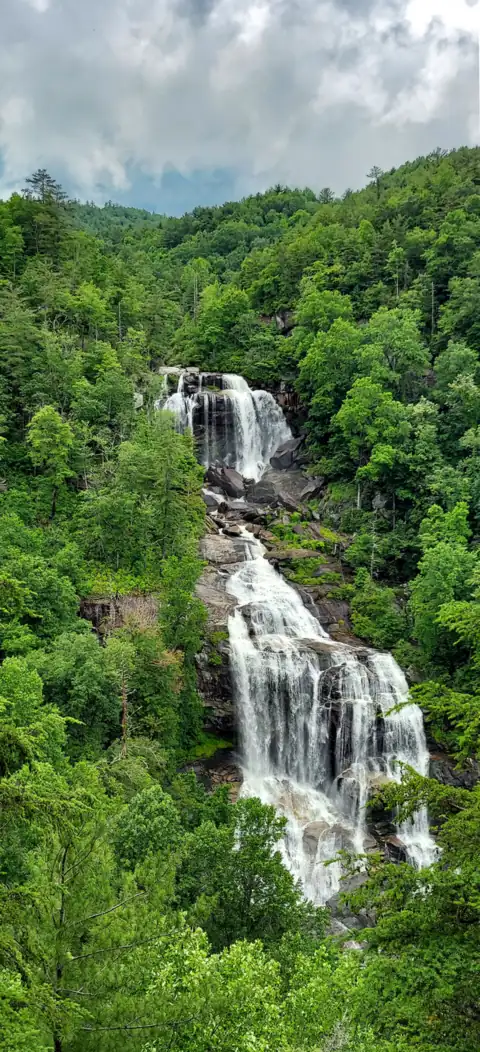 Whitewater Falls13 mi straight-lineOpen411FT
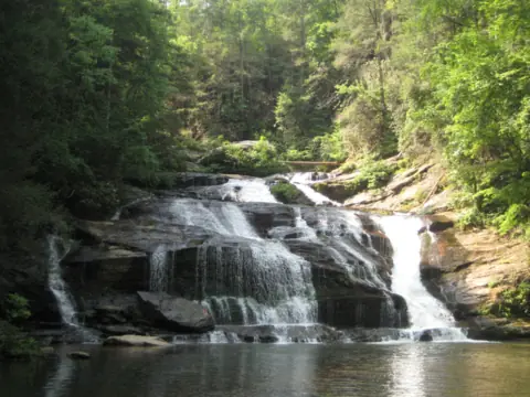 Panther Creek Falls26 mi straight-linePartly open70FT
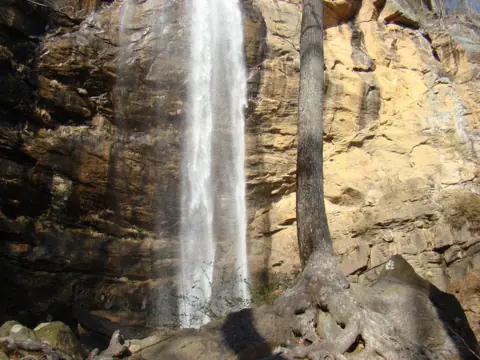 Toccoa Falls31 mi straight-lineOpen186FT
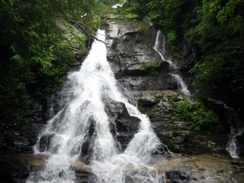 High Shoals Falls31 mi straight-lineOpen
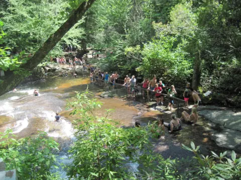 Sliding Rock32 mi straight-lineOpen60FT
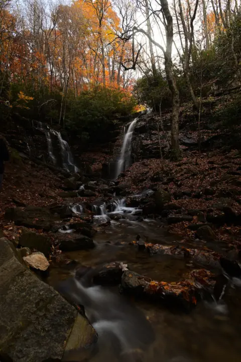 Soco Falls32 mi straight-lineOpen120FT
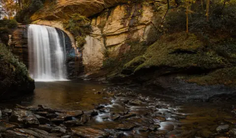 Looking Glass Falls32 mi straight-lineOpen60FT
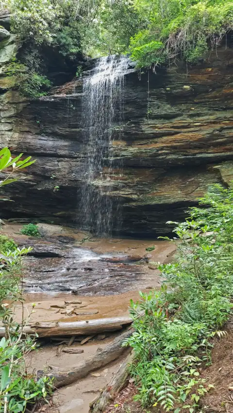 Moore Cove Falls32 mi straight-lineOpen50FT
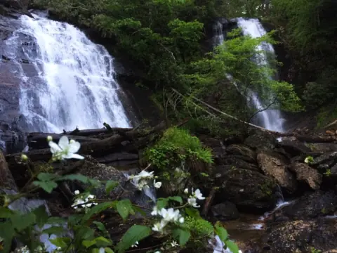 Anna Ruby Falls33 mi straight-lineOpen153FT
 Mingo Falls35 mi straight-lineOpen120FT
All waterfalls in North Carolina
City guides: Waterfalls near Blue Ridge, GA · Waterfalls near Brevard, NC · Waterfalls near Cherokee, NC
On these lists: Dog-friendly waterfalls · Waterfalls you can swim in
Sources
- USFS: Glen Falls Trail #8 (updated Aug 15, 2025; read Oct 28, 2026)
- Highlands Chamber of Commerce: Glen Falls (directions and distances)
- Highlands Chamber of Commerce: Glen Falls trail listing
- The Laurel Magazine: Glen Falls listing (undated; washout caution)
- Audubon North Carolina: Post-Helene updates (Nantahala reopening Oct 11, 2024)
- USDA Forest Service: Nantahala Ranger District office (90 Sloan Road, Franklin; (828) 524-6441)
- USFS National Forests in North Carolina: Alerts (read Oct 28, 2026)
Last verified Oct 28, 2026 by The Waterfall Guide editorial team. Conditions change: confirm with U.S. Forest Service, Nantahala Ranger District before you go. Spotted something out of date? Report a correction.