Right now
Right now as of Oct 28, 2026
- Permit None needed.
Status note (Oct 28, 2026): Open every day and free, per Visit Cherokee (checked October 2026). The EBCI finished rebuilding the steps and viewing deck in 2025 (ribbon-cutting Sept 24, 2025, per the One Feather). We found no 2026 closure. Visit Cherokee warns the steps are slippery after rain. What the status labels mean
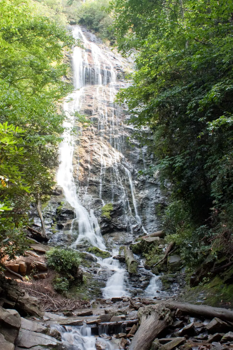
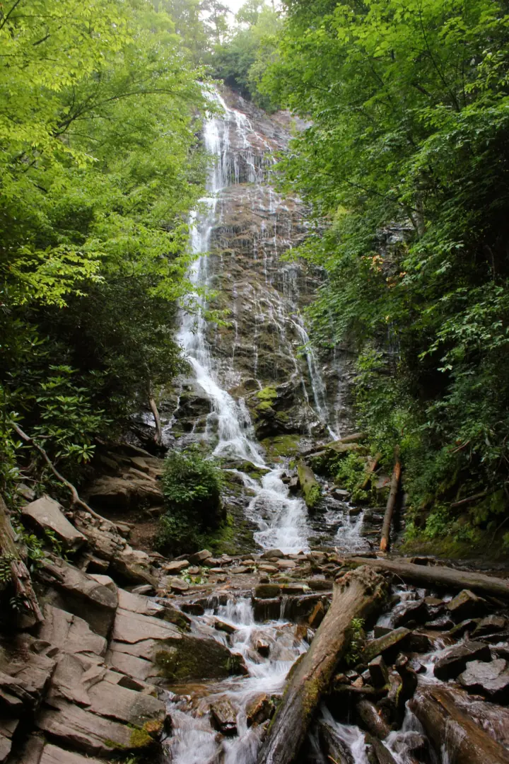
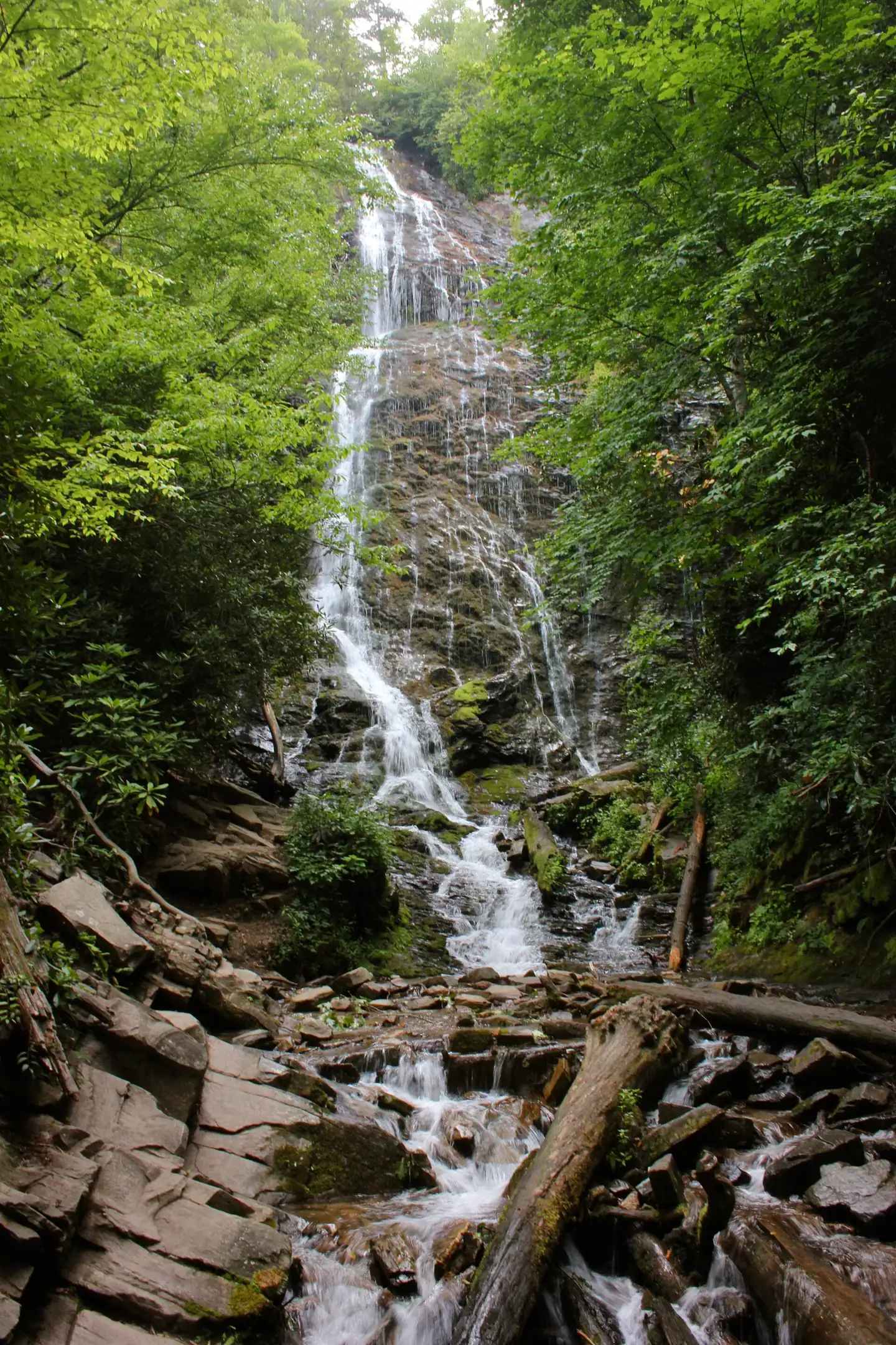
Mingo Falls is a cascade of about 120 feet on Mingo Creek, on the Qualla Boundary near Cherokee, North Carolina. Mingo Falls is free and open every day, according to Visit Cherokee (checked October 2026). The walk is short but steep: about a quarter mile and 161 steps up to a wooden viewing bridge.
About Mingo Falls
Mingo Falls is a cascade of about 120 feet on Mingo Creek, on the Qualla Boundary near the east entrance of Great Smoky Mountains National Park. The Eastern Band of Cherokee Indians (EBCI) manages the site, which is tribal land outside the national park.
The name comes from a Cherokee term meaning "Big Bear", and the falls are unofficially called Big Bear Falls, according to Wikipedia. Wikipedia also counts Mingo Falls among the tallest waterfalls in the southern Appalachians.
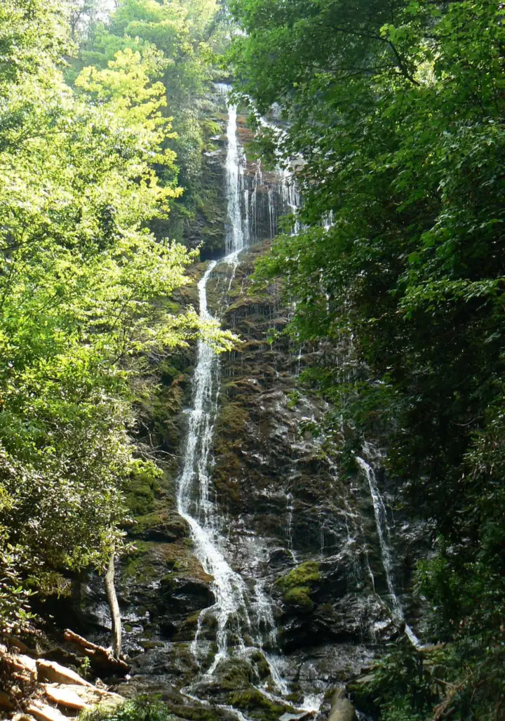
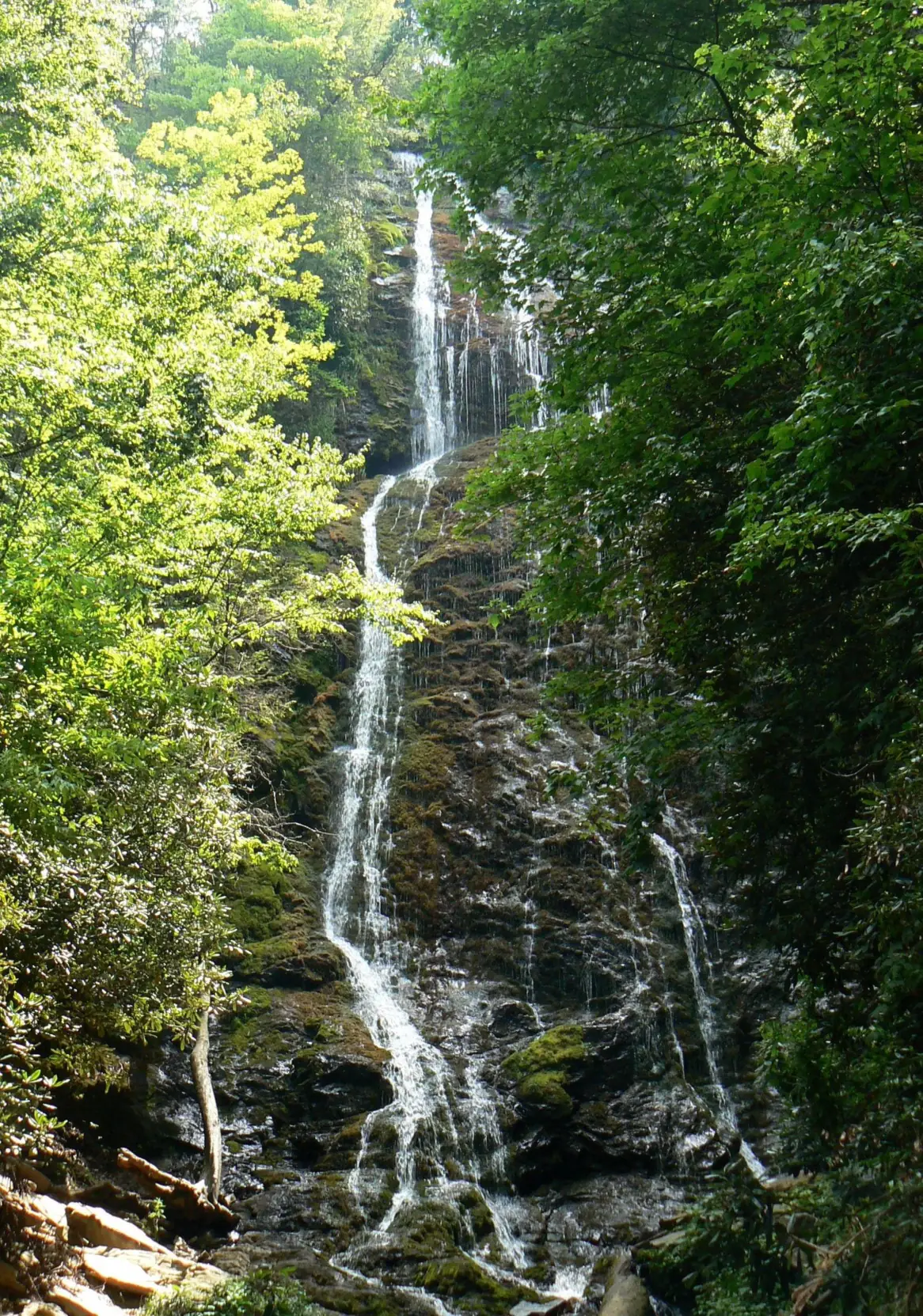
Wikipedia and Visit Cherokee both put the height at about 120 feet. Visit Cherokee adds that the water spills down nearly 200 feet of rock face and boulders. ncwaterfalls.com measured about 175 feet visible from the base with a rangefinder.
The EBCI finished a revitalization of the site in 2025. The work improved the steps, widened the paths, and enlarged the observation deck while lowering it for a new view. The tribe marked the finish with a ribbon-cutting on September 24, 2025, the Cherokee One Feather reported.
Getting there and parking
Mingo Falls is reached from Cherokee on Big Cove Road, and Visit Cherokee lists it as free and open every day.
From Cherokee and the Oconaluftee Visitor Center
The Mingo Falls parking lot is off Big Cove Road, past the KOA Campground. Visit Cherokee places it about 5 miles north of the Saunooke Village shopping area in downtown Cherokee. Wikipedia puts the drive at about 4.5 miles from the Oconaluftee Visitor Center area.
From Gatlinburg
The National Park Service says Newfound Gap Road runs 34 miles through the national park between Gatlinburg and Cherokee. From Cherokee, add the roughly 5 miles up Big Cove Road.
Hours, crowds and restrooms
Visit Cherokee says Mingo Falls is free and open every day. Visit Cherokee lists no opening or closing times, so plan to visit in daylight.
Visit Cherokee's FAQ says locals recommend mornings to avoid crowds. We found no other crowd guidance.
We could not confirm restrooms at the site. At the 2025 ribbon-cutting, a tribal council member spoke of hoping for permanent restrooms, the One Feather reported.
Soco Falls, the other EBCI-managed waterfall near Cherokee, is on US-19 toward Maggie Valley. The tribe rebuilt its trailhead in 2025 as well.
Map and nearby falls
Map loads as you scroll. Open in OpenStreetMap
OpenPartly open / seasonalUnconfirmedClosedLarger map
The 161 steps to the viewing bridge
Visit Cherokee describes the hike as short but physically demanding. The route is about a quarter mile each way, with 161 steep steps up to a wooden viewing bridge over Mingo Creek. The round trip is about half a mile.
Step counts differ. ncwaterfalls.com counted 163 steps from the kiosk, then 9 more to the footbridge, plus about 100 to 123 yards of level path. Both counts may predate the 2025 rebuild of the steps, so treat the number as approximate.
Wikipedia names the route the Pigeon Creek Trail and calls it about 0.4 miles and moderately difficult.
The route is not wheelchair accessible. Visit Cherokee advises seniors, children and people with disabilities to go with a companion.
When to visit
Visit Cherokee lists Mingo Falls as open every day (checked October 2026), after the 2025 rebuild of the steps and deck.
The 2025 closure and reopening
In 2025 the EBCI rebuilt the steps and enlarged the observation deck, and travel sites reported the falls closed during the work. The tribe marked the finished project with a ribbon-cutting on September 24, 2025, the One Feather reported.
Visit Cherokee now lists Mingo Falls as open every day. We found no 2026 closure and no reports of Hurricane Helene damage.
Season and flow
We found no official guidance on the best season for water flow. If you go after rain, allow extra time for the climb.
Mingo Falls is close to the Smokies' east entrance. On the Tennessee side of the park, Grotto Falls is reached from the Roaring Fork Motor Nature Trail, which the Park Service opens only part of the year. Check that page for the road season before you go.
| Height | 120 ftNote: per Wikipedia and Visit Cherokee; ncwaterfalls.com measured about 175 ft visible from the base |
|---|---|
| Trail | About 1/4 mi each way, mostly 161 steep steps up to a wooden viewing bridge (Visit Cherokee) |
| Difficulty | Short but steep: 161 steps (Visit Cherokee) |
| Entry fee | Free (Visit Cherokee) |
| Permit / reservation | None needed |
| Parking | Mingo Falls lot on Big Cove Road |
| Hours / season | Open every day (Visit Cherokee); no times listed |
| Wheelchair / stroller | No; the route is 160+ steep steps |
| Walk behind the falls | No |
| Crowds | Visit Cherokee says locals recommend mornings to avoid crowds |
| Managed by | Eastern Band of Cherokee Indians (EBCI) |
Safety and swimming
We found no EBCI swimming rule or dog rule for Mingo Falls. View the falls from the bridge and the observation deck, and do not climb on the rocks or boulders in the creek.
Visit Cherokee describes the 161 steps as steep and warns they are slippery after rain. Take the steps slowly, rest on the way up, and keep children close, especially when the steps are wet.
Mingo Falls is on EBCI land. Follow any posted signs, stay on the built path, and carry out your trash. Our waterfall safety guide covers wet rock and moving water.
Where to stay near Mingo Falls
Compare hotels, cabins and rentals close to the falls around Cherokee.
See places to stay nearbyAffiliate link: we may earn a commission at no cost to you. Partners do not see or change our waterfall facts. Disclosure.
Photos


Mingo Falls FAQ
How many steps are at Mingo Falls?
Visit Cherokee says 161 steep steps lead up to the viewing bridge. ncwaterfalls.com counted 163 plus 9 more. The steps were rebuilt in 2025, so counts may have changed.
How tall is Mingo Falls?
About 120 feet, according to Wikipedia and Visit Cherokee. Visit Cherokee adds that the water spills down nearly 200 feet of rock face and boulders.
Is Mingo Falls free?
Yes. Mingo Falls is on Eastern Band of Cherokee Indians land, and Visit Cherokee lists it as free to the public.
Is Mingo Falls open in 2026?
Yes. The EBCI finished a renovation in September 2025, and Visit Cherokee lists the falls as open every day. We found no 2026 closure.
How long is the Mingo Falls hike?
About a quarter mile each way, according to Visit Cherokee. Most of it is a staircase of 161 steep steps, and Visit Cherokee calls the hike short but physically demanding.
Where is Mingo Falls?
In North Carolina, near the Tennessee line, off Big Cove Road about 5 miles north of downtown Cherokee and past the KOA Campground, on the Qualla Boundary. It is not in Tennessee.
Why was Mingo Falls closed?
Travel sites reported it closed in 2025 while the EBCI rebuilt the steps and viewing deck. The project ended with a ribbon-cutting on September 24, 2025 (One Feather), and Visit Cherokee now lists the falls as open every day.
Are dogs allowed at Mingo Falls?
Neither the EBCI nor Visit Cherokee posts a dog rule for Mingo Falls. If you bring one, keep it leashed and close; the 161 steps are steep and slippery when wet.
Nearby waterfalls
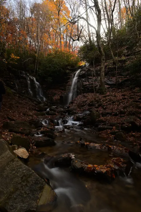 Soco Falls6 mi straight-lineOpen120FT
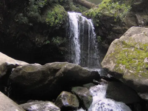 Grotto Falls14 mi straight-lineOpen25FT
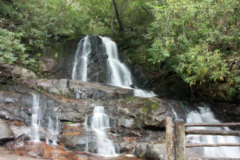 Laurel Falls21 mi straight-lineClosed80FT
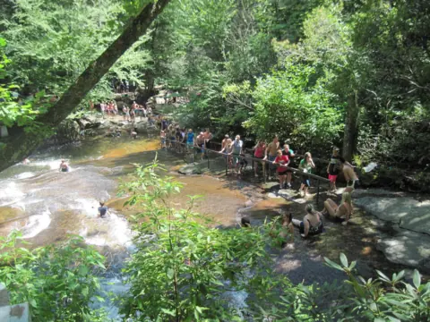 Sliding Rock31 mi straight-lineOpen60FT
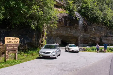 Bridal Veil Falls32 mi straight-lineOpen45FT
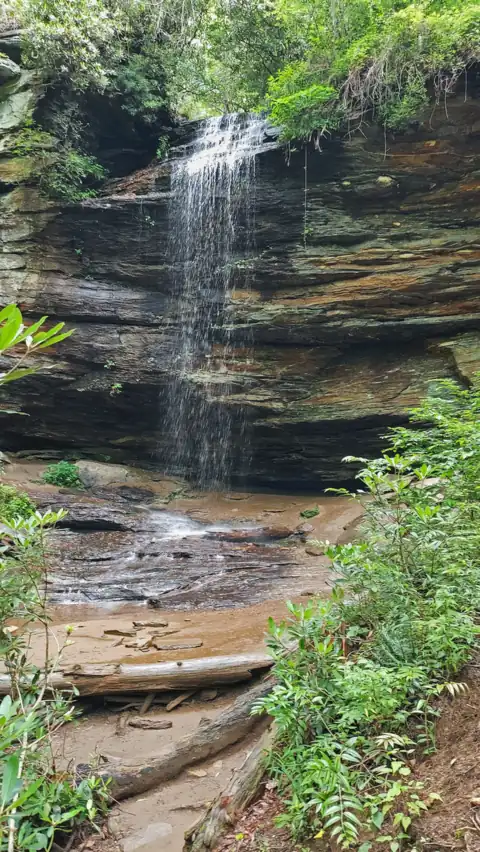 Moore Cove Falls32 mi straight-lineOpen50FT
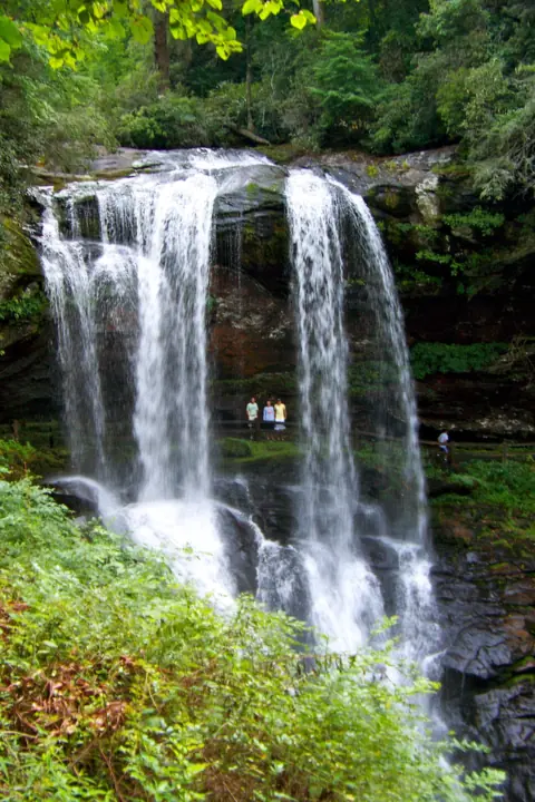 Dry Falls32 mi straight-lineOpen75FT
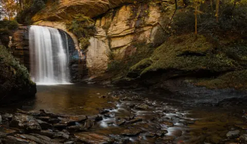 Looking Glass Falls33 mi straight-lineOpen60FT
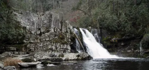 Abrams Falls34 mi straight-lineOpen25FT
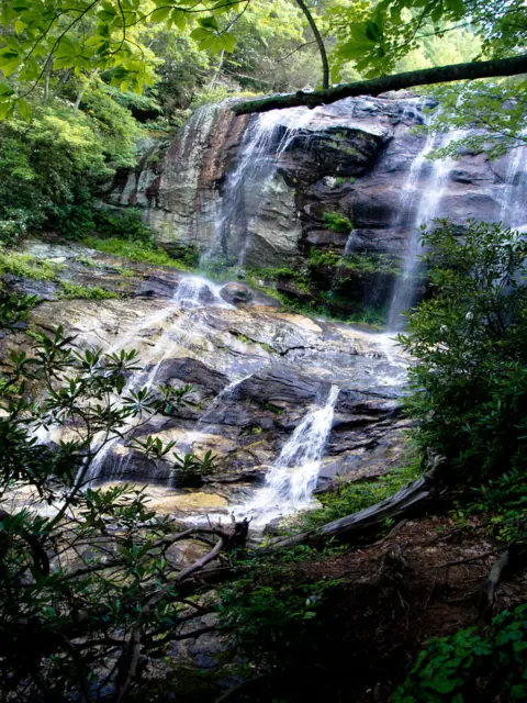 Glen Falls35 mi straight-lineOpen70FT
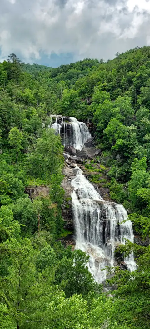 Whitewater Falls38 mi straight-lineOpen411FT
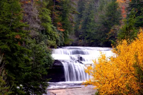 Triple Falls & High Falls44 mi straight-linePartly open125FT
All waterfalls in North Carolina
City guides: Waterfalls near Asheville, NC · Waterfalls near Blue Ridge, GA · Waterfalls near Brevard, NC
On these lists: Free waterfalls · Roadside waterfalls
Sources
Some facts credited to the National Park Service come from search-result excerpts of its official pages. Confirm fees and rules on the official site.
- Visit Cherokee (EBCI): Mingo Falls
- Cherokee One Feather: Mingo Falls revitalization celebrated with ribbon-cutting (Sept 24, 2025)
- Wikipedia: Mingo Falls
- NC Waterfalls: Mingo Falls
- NPS: Newfound Gap Road Designated As Scenic Byway (read Oct 29, 2026)
Last verified Oct 28, 2026 by The Waterfall Guide editorial team. Conditions change: confirm with Eastern Band of Cherokee Indians (EBCI) before you go. Spotted something out of date? Report a correction.