Right now
Right now as of Oct 29, 2026
- Status Base stairs and Turkey Knob bridge closed (NCFS closures page, Oct 27, 2026).
- Permit No permit needed. Fee: no fee listed.
Status note (Oct 29, 2026): Base stairs and Turkey Knob bridge closed (NCFS closures page, Oct 27, 2026). Tree work was set to close the High Falls kiosk path for a day on Nov 6, 2026. Nov 10 is the rain date (page checked Nov 7). The Triple Falls Trail itself reopened May 21, 2025 after Hurricane Helene. What the status labels mean
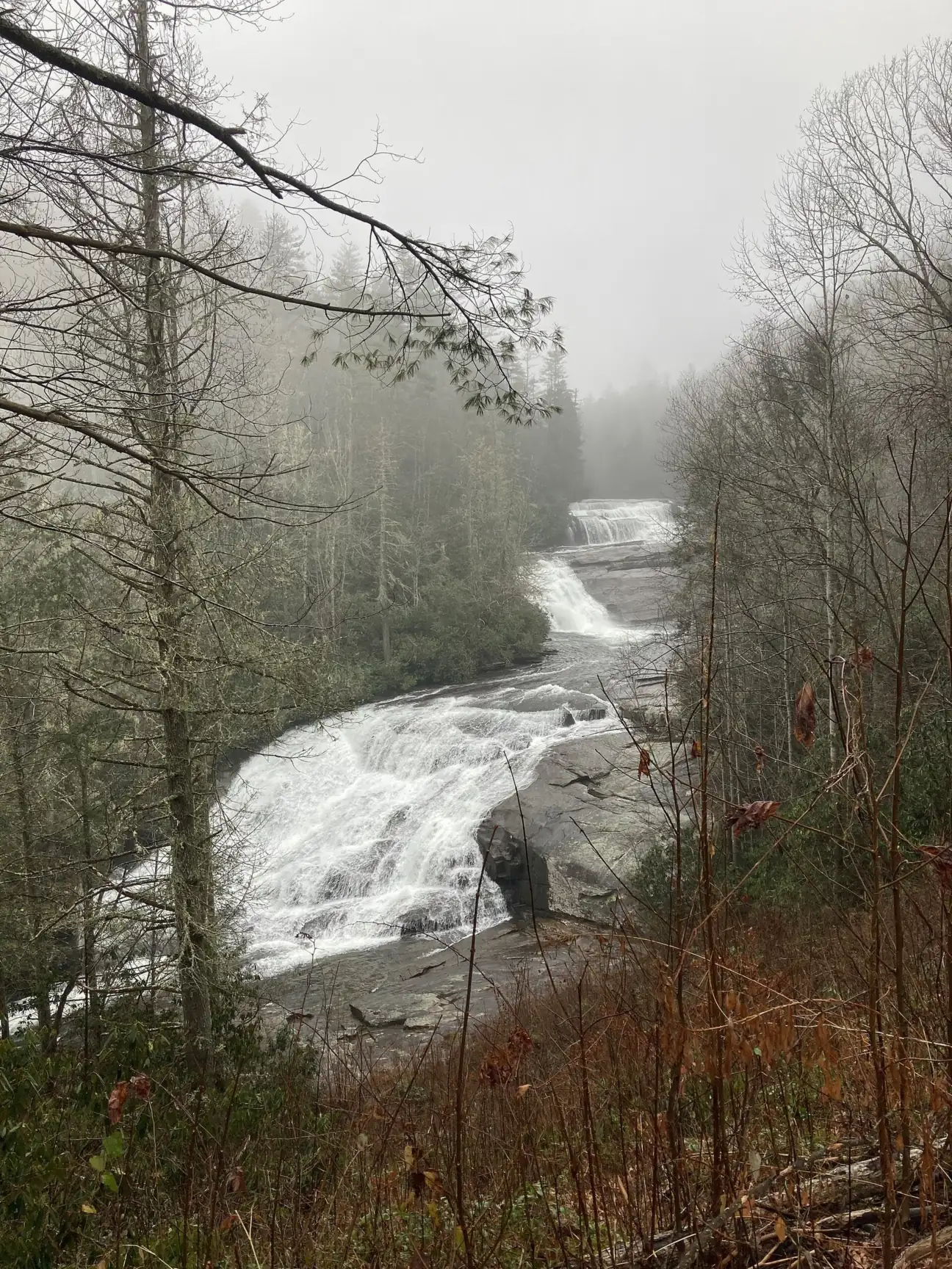
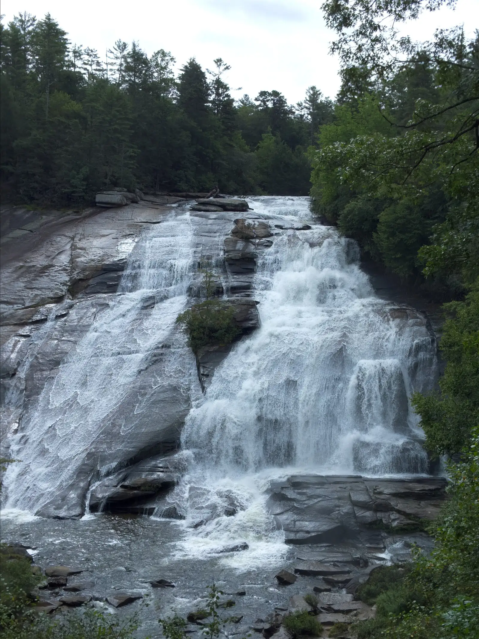
Triple Falls and High Falls are two large waterfalls on the Little River in DuPont State Recreational Forest, near Cedar Mountain and Brevard. Wikipedia lists each at 125 feet. Triple Falls is 0.5 mile from the Hooker Falls lot, and seeing Hooker, Triple and High Falls takes 2.2 miles, per Explore Asheville. The stairs to the base of Triple Falls are still closed after Hurricane Helene, and the N.C. Forest Service lists no fee.
About Triple Falls & High Falls
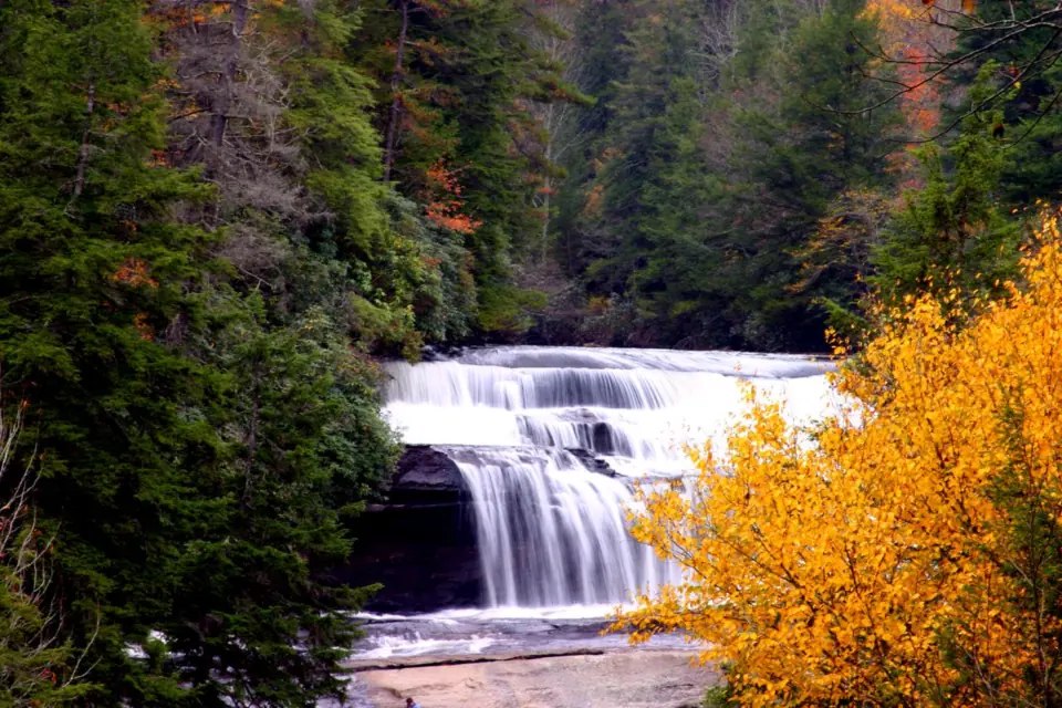
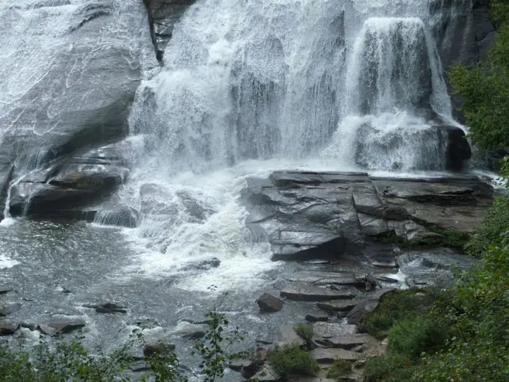
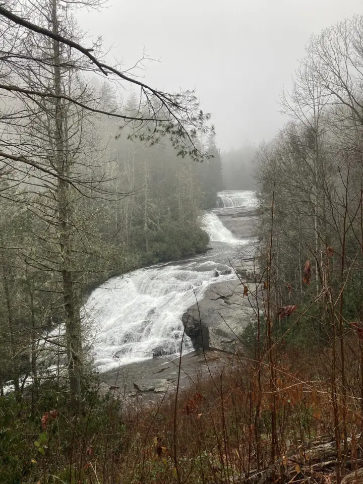
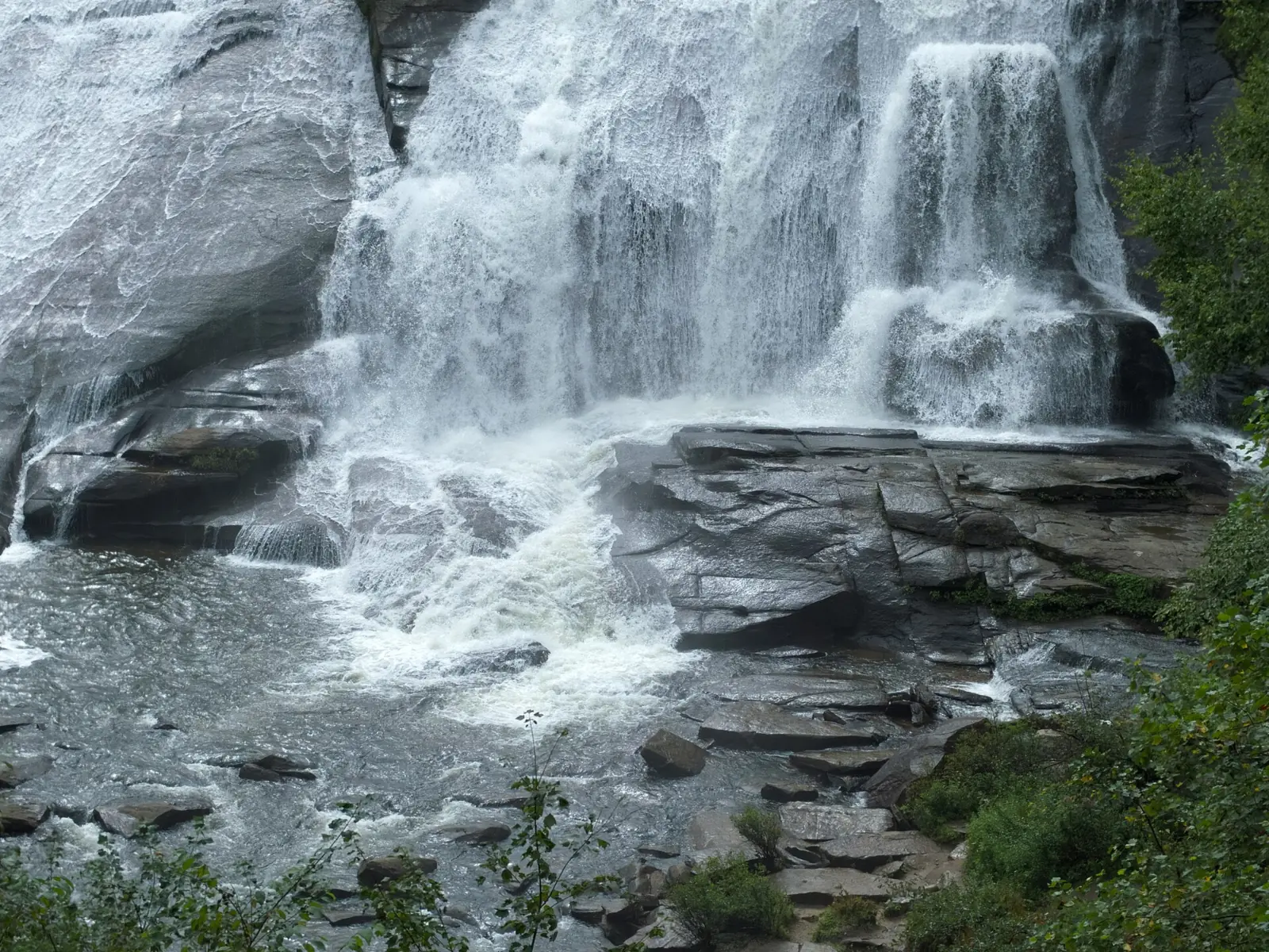
Triple Falls and High Falls are on the Little River, linked by the same trail. Triple Falls drops in three tiers, while High Falls is a steep cascade. Wikipedia lists both at 125 feet. Explore Asheville gives about 120 feet for Triple Falls and 150 feet for High Falls.
The N.C. General Assembly made DuPont a State Recreational Forest in 2011, and the N.C. Forest Service manages it. Forest rules here are state laws, and people who ignored closure signs after Helene have been ticketed.
Movie fans may know Triple Falls from The Hunger Games (2012) and The Last of the Mohicans (1992), according to Wikipedia. DuPont also has its own Bridal Veil Falls, which is a different waterfall from the roadside Bridal Veil Falls near Highlands.
Expect company. The Forest Service estimates that more than 700,000 people a year hike the trail linking Hooker, Triple and High Falls.
Getting there and parking
The Forest Service says to park at the Hooker Falls or High Falls access areas for the Triple Falls Trail. The forest visitor center is at 89 Buck Forest Road.
Directions and access area addresses
Friends of DuPont lists GPS coordinates of 35.20310, -82.61912 for the Hooker Falls Access Area. Per Friends of DuPont, from the DuPont Road turn, head south 3.1 miles. DuPont Road becomes Staton Road along the way.
The Hooker Falls Access Area is on the right, just before the DOT bridge. We found no official street address for the High Falls Access Area, so use the Forest Service's waterfall corridor map to find it.
Parking and facilities
Friends of DuPont says the Hooker Falls Access Area has picnic tables and restrooms, and parking is first come, first served.
Lots fill early, especially on holidays. In summer they are often full by 9:30 a.m., so the Forest Service suggests arriving before 9 a.m. or after 5 p.m. The forest is open 5 a.m. to 10 p.m., according to the Forest Service.
Lots sometimes close for upkeep. In spring 2026 the High Falls lot closed March 23 to 27, and the Hooker Falls lot had maintenance April 6 to 10. The Forest Service lists no entry or parking fee, and Explore Asheville also says there is no admission fee.
Want a roadside stop on the same trip? Looking Glass Falls, in Pisgah National Forest, is another Transylvania County waterfall.
Map and nearby falls
Map loads as you scroll. Open in OpenStreetMap
OpenPartly open / seasonalUnconfirmedClosedLarger map
The hike
The Triple Falls Trail starts from either the Hooker Falls or the High Falls access area. From Hooker Falls, Explore Asheville puts Triple Falls 0.5 mile away and all three falls at 2.2 miles in total.
From the Hooker Falls Access Area
From the Hooker Falls Access Area, the Triple Falls Trail links Hooker, Triple and High Falls. Explore Asheville puts Triple Falls 0.5 mile from the Hooker Falls lot, and High Falls another 0.5 mile beyond Triple Falls.
Seeing all three falls is 2.2 miles in total, with about 160 feet of elevation gain, per Explore Asheville. Hooker Falls itself is a short walk from the lot.
From the High Falls Access Area
You can also start at the High Falls Access Area. Use the Forest Service's waterfall corridor map to plan your route from there.
How hard is the trail?
Friends of DuPont calls the High Falls Loop an easy to moderate walk along the Little River. Explore Asheville rates the hike easy but says the Triple Falls section is a bit steep.
The routes follow gravel forest roads and trails. With the stairs to the base of Triple Falls fenced off, you see that falls from the trail rather than from its base.
Dogs are welcome on a leash. Drones, alcohol and e-bikes are banned in the forest. Cell service is limited at most DuPont waterfalls, so save the Forest Service's waterfall corridor map (a PDF) before you leave town.
When to visit
Hurricane Helene closed the whole forest in September 2024. The Triple Falls Trail reopened on May 21, 2025, after temporary repairs, nearly eight months after the storm.
Helene floods partly washed away the stairs to the base of Triple Falls. Engineers said they need extensive repair or replacement. The Forest Service closures page, last updated October 27, 2026, still lists those stairs and the Turkey Knob Trail bridge as closed.
The same page said the path from the High Falls kiosk to the High Falls Loop would close Friday, November 6, 2026, for hazard-tree removal. Tuesday, November 10 is the rain date. When we checked on Nov 7, the page had no update. On a work day, use Buck Forest Road to reach the High Falls Loop.
Friends of DuPont also listed the stairs as closed on its alerts page as of October 23, 2026. The same page says improvements along Buck Forest Road began September 28, with no trail or road closures anticipated.
The Grassy Creek bridge on Buck Forest Road no longer appears on the closure list, but we found no official reopening notice.
More waterfall hikes in western North Carolina
Want a tougher hike? Catawba Falls near Old Fort has a 3.5-mile loop with 580 stairs and an observation tower up to its upper falls.
| Height | 125 ftNote: 125 ft for each falls per Wikipedia; Explore Asheville gives about 120 ft for Triple Falls and 150 ft for High Falls |
|---|---|
| Trail | 0.5 mi one way to Triple Falls from the Hooker Falls lot; 2.2 mi total to see all three falls, with 160 ft of gain (Explore Asheville) |
| Difficulty | Easy to moderate |
| Entry fee | No entry or parking fee listed by the N.C. Forest Service |
| Permit / reservation | None needed to hike |
| Parking | Hooker Falls or High Falls access areas; fills early |
| Hours / season | 5 a.m. to 10 p.m. (N.C. Forest Service); Explore Asheville says 7 days a week |
| Dogs | Allowed on a leash |
| Swimming | No swimming or wading within 300 ft upstream of any waterfall; no climbing, jumping, sliding or diving at waterfalls (forest rules) |
| Wheelchair / stroller | No accessible route verified; Wikipedia says the forest may allow vehicle access for visitors with disabilities (call 828-877-6527) |
| Walk behind the falls | No |
| Restrooms | At the Hooker Falls Access Area, with picnic tables (Friends of DuPont); visitor center at 89 Buck Forest Rd. |
| Crowds | Very high: more than 700,000 hikers a year (N.C. Forest Service) |
| Managed by | N.C. Forest Service, DuPont State Recreational Forest |
Safety and swimming
Forest rules ban swimming or wading within 300 feet upstream of any waterfall. They also ban climbing, jumping, sliding or diving at any waterfall. These are state laws, not suggestions.
The N.C. Forest Service puts the waterfall rule plainly: "Do not slide on, dive from, jump off or climb any of our waterfalls".
The rock around both falls is slick, and pools may hold debris, the Forest Service warns. Stay behind the fencing at the closed Triple Falls stairs. Visitors who crossed closure signs have been ticketed.
Help can be slow to arrive. The Forest Service warns that limited cell service at most DuPont waterfalls means emergency response can take longer. Tell someone your plan and carry water.
Conditions change: confirm with the N.C. Forest Service before you go. Our waterfall safety guide has more tips.
Where to stay near Triple Falls & High Falls
Compare hotels, cabins and rentals close to the falls around Cedar Mountain.
See places to stay nearbyAffiliate link: we may earn a commission at no cost to you. Partners do not see or change our waterfall facts. Disclosure.
Photos


Triple Falls & High Falls FAQ
Is Triple Falls open after Hurricane Helene?
Yes, partly. The Triple Falls Trail reopened to foot traffic on May 21, 2025. The stairs down to the base of Triple Falls are still closed, per the N.C. Forest Service closures page updated October 27, 2026.
Where do you park for Triple Falls and High Falls?
At the Hooker Falls Access Area or the High Falls Access Area. Parking is first come, first served, and lots are often full by 9:30 a.m. in summer. The Forest Service suggests arriving before 9 a.m. or after 5 p.m.
Does DuPont State Forest charge a fee?
No. The N.C. Forest Service lists no entry or parking fee, and Explore Asheville says there is no admission fee. A paid-parking plan was proposed in past planning documents, but no adoption was found.
How far is the hike to Triple Falls?
Triple Falls is 0.5 mile from the Hooker Falls lot, according to Explore Asheville. High Falls is another 0.5 mile beyond it, and seeing all three falls is 2.2 miles in total.
Is Triple Falls a hard hike?
Not very. Friends of DuPont calls the High Falls Loop an easy to moderate walk. Explore Asheville lists about 160 feet of elevation gain and says the Triple Falls section is a bit steep.
What movies were filmed at Triple Falls?
Wikipedia says Triple Falls appears in The Hunger Games (2012) and in The Last of the Mohicans (1992). The Forest Service pages we checked do not mention filming.
Can you swim at Triple Falls or High Falls?
No swimming or wading is allowed within 300 feet upstream of any waterfall in DuPont. Climbing, jumping, sliding and diving at waterfalls are also banned under forest rules, which are state laws.
Are dogs allowed at DuPont's waterfalls?
Yes, on a leash. Drones, alcohol and e-bikes are not allowed anywhere in the forest.
Nearby waterfalls
 Looking Glass Falls11 mi straight-lineOpen60FT
 Moore Cove Falls12 mi straight-lineOpen50FT
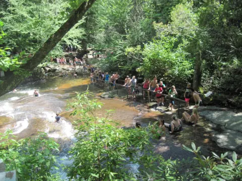 Sliding Rock12 mi straight-lineOpen60FT
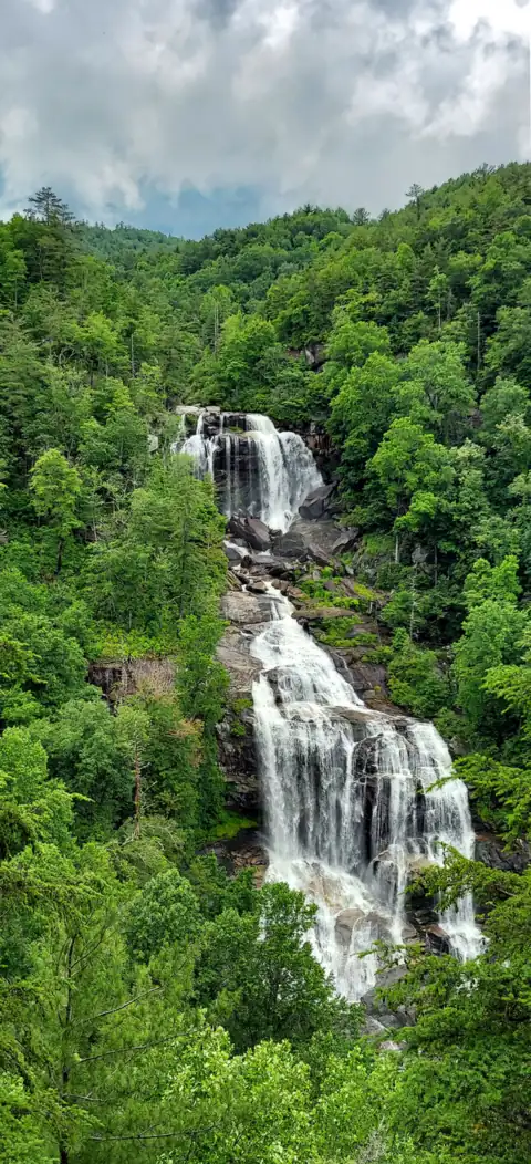 Whitewater Falls25 mi straight-lineOpen411FT
 Hickory Nut Falls26 mi straight-lineOpen404FT
 Catawba Falls35 mi straight-lineOpen205FT
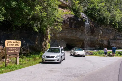 Bridal Veil Falls36 mi straight-lineOpen45FT
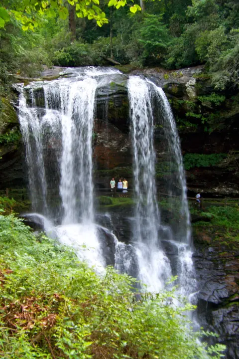 Dry Falls36 mi straight-lineOpen75FT
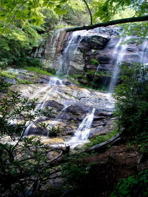 Glen Falls37 mi straight-lineOpen70FT
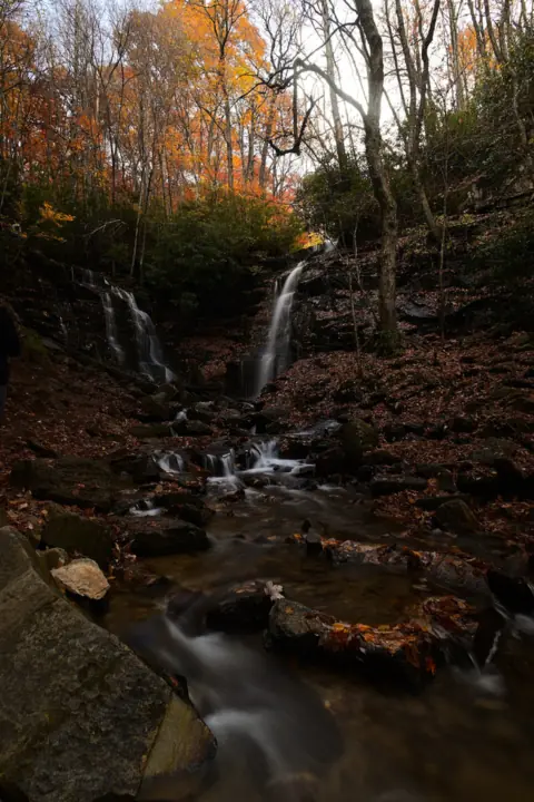 Soco Falls37 mi straight-lineOpen120FT
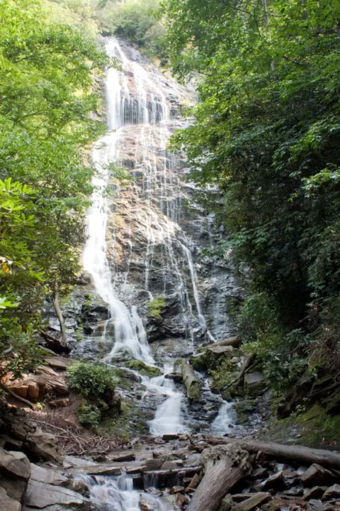 Mingo Falls44 mi straight-lineOpen120FT
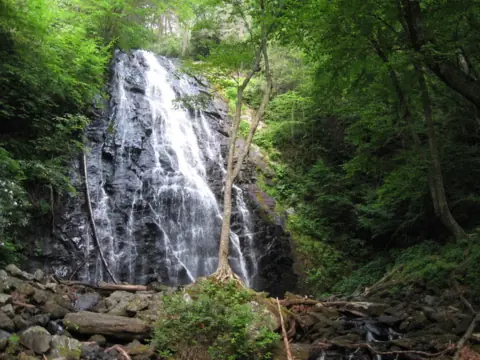 Crabtree Falls50 mi straight-lineClosed60FT
All waterfalls in North Carolina
City guides: Waterfalls near Asheville, NC · Waterfalls near Brevard, NC · Waterfalls near Cherokee, NC
On these lists: Dog-friendly waterfalls
Sources
- NCDA&CS: Triple Falls Trail in DuPont State Recreational Forest has reopened (May 21, 2025)
- N.C. Forest Service: DuPont closures (last modified Oct 27, 2026)
- N.C. Forest Service: DuPont Plan Your Visit
- N.C. Forest Service: DuPont Waterfalls
- N.C. Forest Service: About DuPont
- N.C. Forest Service: DuPont Waterfall Corridor Map (PDF)
- Friends of DuPont Forest: Triple Falls
- Friends of DuPont Forest: Alerts (Oct 23, 2026)
- Friends of DuPont Forest: Hooker Falls Access Area
- Explore Asheville: Hooker Falls, Triple Falls and High Falls hike (updated July 28, 2026)
- WLOS: DuPont parking areas closing for maintenance (March 2026)
- Explore Asheville: DuPont State Forest
- Wikipedia: Triple Falls (North Carolina)
- Wikipedia: High Falls (DuPont State Forest)
Last verified Oct 29, 2026 by The Waterfall Guide editorial team. Conditions change: confirm with N.C. Forest Service, DuPont State Recreational Forest before you go. Spotted something out of date? Report a correction.