Right now
Right now as of Oct 27, 2026
- Permit No permit needed. Fee: no entry fee listed.
Status note (Oct 27, 2026): Open. The Forest Service page (updated Sept 30, 2025) lists the full loop open. Smokies.LIVE reported the upper viewing platform rebuilt in September 2026. The Wildflower Trail's 2026 status is unconfirmed. What the status labels mean
Catawba Falls is a two-tier waterfall at the headwaters of the Catawba River in Pisgah National Forest, near Old Fort. A 3.5-mile loop reaches the 205-foot lower falls, then climbs 580 stairs and a 60-foot observation tower to the 80-foot upper falls. The loop is open, and Smokies.LIVE reported the upper viewing platform rebuilt and reopened in September 2026. The Forest Service lists no fee, and free parking at the trailhead is limited.
About Catawba Falls
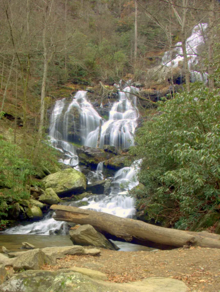
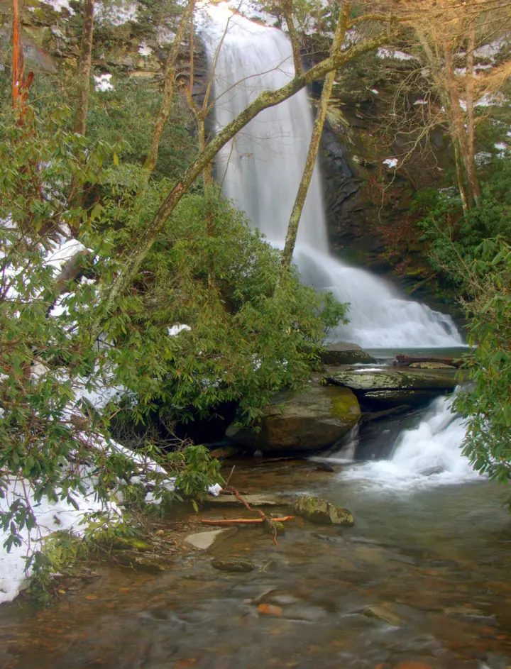
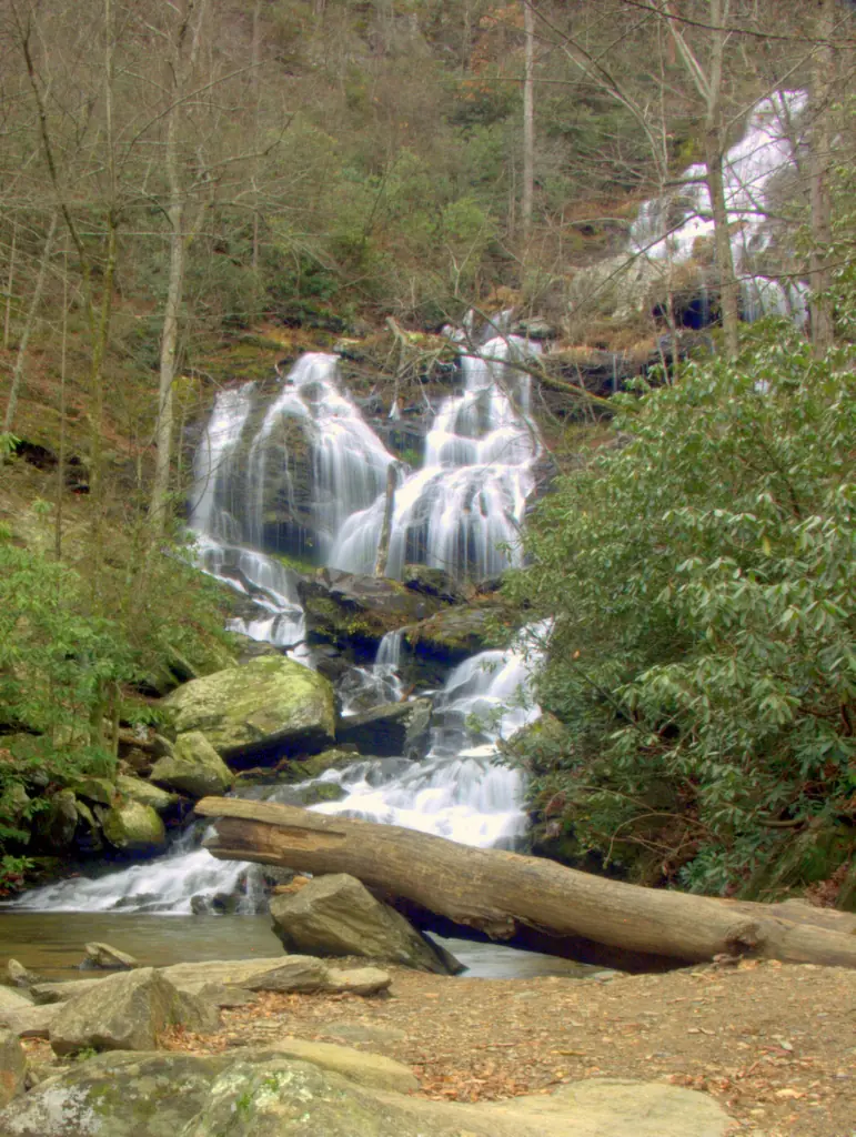
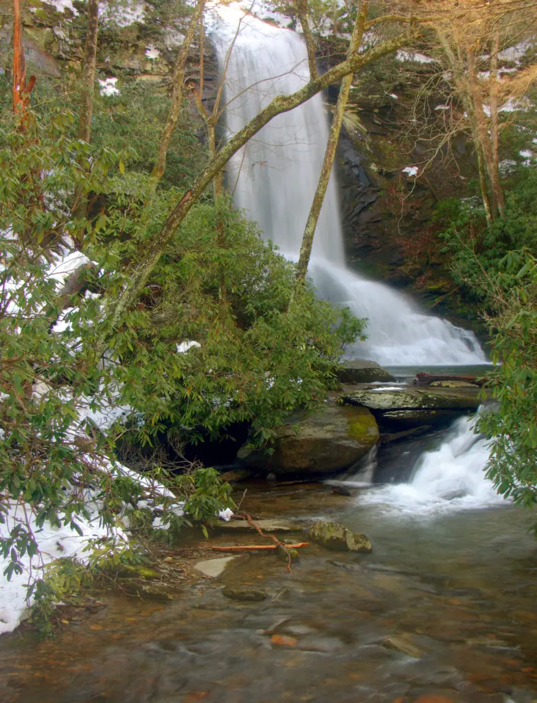
Catawba Falls is really two big drops at the headwaters of the Catawba River. The Forest Service describes a 205-foot cascading lower falls and an 80-foot upper falls that drops over a cliff higher up the slope.
Sources still disagree on height. The same Forest Service page also calls it a 100-foot cascading waterfall, and Wikipedia gives about 100 feet. We use the 205-foot and 80-foot figures because they describe each tier.
For years the upper falls were reached by a steep, informal scramble, and people died in falls there in 2017 and 2018, according to Wikipedia. The Forest Service closed the trail in May 2022 and rebuilt it.
The trail reopened in 2024 (Forest Service) with 580 stairs, three overlooks and a 60-foot observation tower between the lower and upper falls. The rebuild also added retaining walls and boardwalks, according to Wikipedia.
Watch for history along the way. The Forest Service notes that remnants of a 1920s hydropower dam, which once powered the town of Old Fort, are scattered along the trail.
Public access is fairly new. According to Wikipedia, Foothills Conservancy bought land for a trailhead in 2005 and 2007. The land went to the Forest Service, and the trail opened to the public in 2010.
Getting there and parking
Catawba Falls starts at a Forest Service trailhead at the end of Catawba River Road, off I-40 Exit 73 at Old Fort. Explore Asheville puts it about 25 miles from downtown Asheville.
Directions from Asheville
Catawba Falls is about 25 miles from downtown Asheville, according to Explore Asheville. Take I-40 to Exit 73 at Old Fort, then follow Catawba River Road. It ends after about 3 miles at the Forest Service trailhead and parking lot.
We found no official drive time from Asheville or Weaverville. Check a map app before you leave, since I-40 traffic and the narrow last stretch of road both vary.
Parking at the trailhead
Free parking at the trailhead is limited, according to Destination McDowell. The same page says to check Catawba River Road for posted paid parking locations.
Don't park on the shoulder of Catawba River Road. Destination McDowell warns that you will be towed. The road passes private homes, so if the lots are full, wait or come back later.
Smokies.LIVE reported in September 2026 that parking-lot improvements to reduce flooding risk are planned, with no timeline given.
Bring your own water. The Forest Service says potable water is not available at the site, though there are picnic tables.
Map and nearby falls
Map loads as you scroll. Open in OpenStreetMap
OpenPartly open / seasonalUnconfirmedClosedLarger map
The hike
The full Catawba Falls loop is 3.5 miles, per the Forest Service. It follows the River Trail to the lower falls, climbs 580 stairs to the upper falls and returns on the Ridge Trail.
River Trail to the lower falls
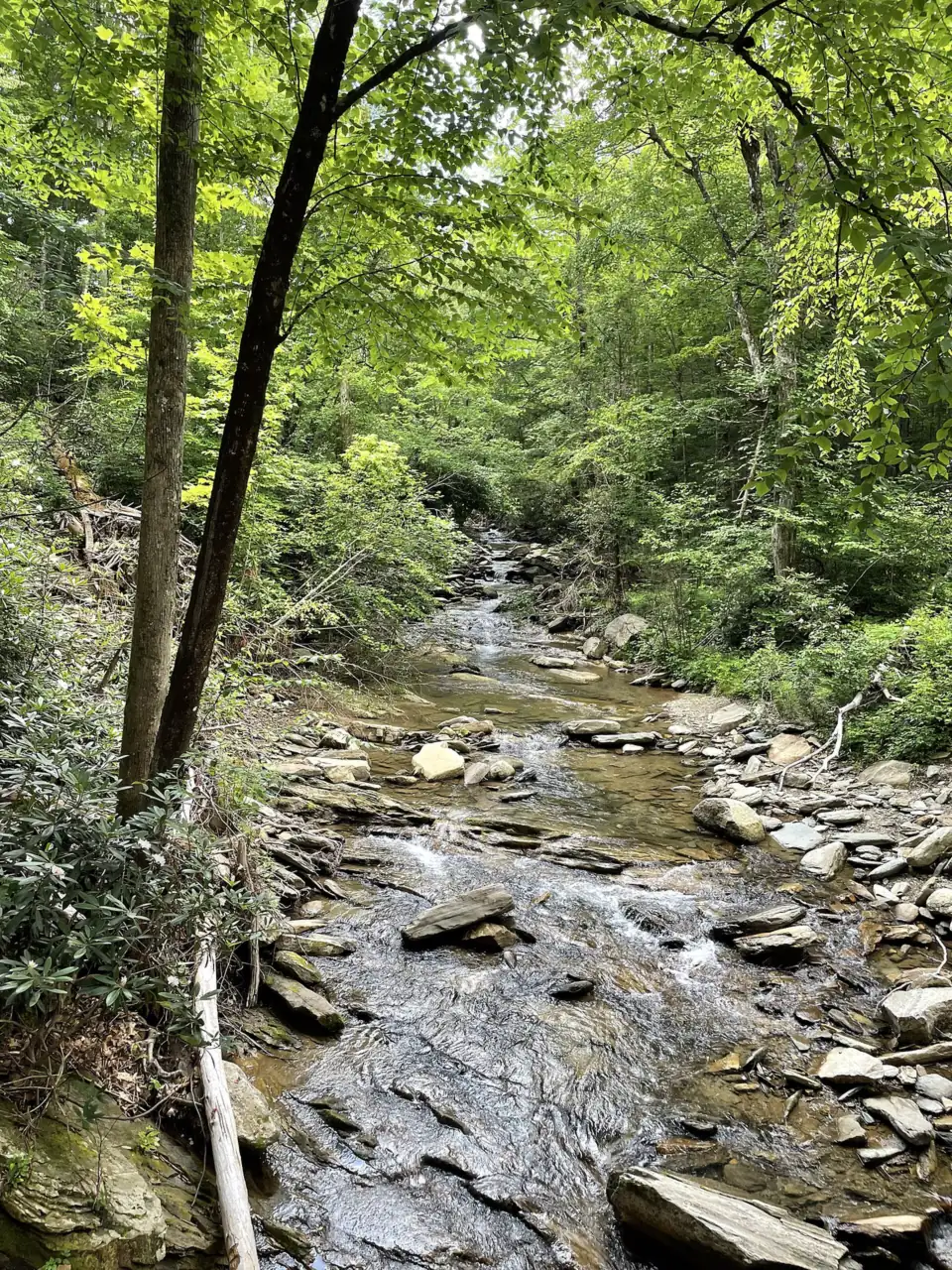
From the trailhead, the River Trail follows the Catawba River to the base of the 205-foot lower falls. Destination McDowell puts it at approximately 1.5 miles each way, so about 3 miles round trip. The Forest Service rates this part easy.
Stairs and tower to the upper falls
To reach the 80-foot upper falls, you climb 580 stairs with three overlooks and a 60-foot observation tower. The Forest Service rates the trip to the upper falls and back as intermediate.
The Forest Service says this quarter-mile route is equivalent to climbing a 30-story building. Rest on the overlooks, and pace yourself on the way up.
Ridge Trail back to the trailhead
From the top, the Catawba Falls Ridge Trail loops back down to the trailhead. The full loop is 3.5 miles, per the Forest Service. Explore Asheville suggests allowing about 3 hours for the whole hike.
When to visit
Like Looking Glass Falls and most Blue Ridge waterfalls, Catawba Falls flows hardest in spring and after heavy rain. October brings fall color to the gorge. Summer weekends are the busiest time, so arrive early or visit on a weekday.
Destination McDowell lists public access from dawn to dusk only. Plan to be back at the car before dark, since the stairs and Ridge Trail are slow going.
Is Catawba Falls open?
Yes, the loop is open. The Forest Service page, last updated September 30, 2025, lists the site open and the entire Catawba Falls loop trail open.
The September 2025 Forest Service page listed the upper viewing platform and Wildflower Trail as closed after Hurricane Helene. Smokies.LIVE then reported on September 28, 2026 that the upper viewing platform had been rebuilt and reopened.
We found no 2026 update on the Wildflower Trail, so its status is unconfirmed. Ask the Grandfather Ranger District before you plan around it.
Short repair closures still happen. FOX Carolina reported on May 4, 2026 that the top of the staircase and the upper falls were briefly closed for repairs.
More western NC waterfall hikes
Planning a western North Carolina waterfall trip? Linville Falls, on the Blue Ridge Parkway, has its own page with current trail status.
Farther south near Brevard, Triple Falls in DuPont State Recreational Forest pairs two big waterfalls on one trail.
| Height | 205 ftNote: lower falls 205 ft, upper falls 80 ft (Forest Service); some sources say about 100 ft, see About |
|---|---|
| Trail | 3.5-mile loop via the Ridge Trail (about 3 miles round trip to the lower falls only) |
| Difficulty | Moderate |
| Time needed | About 3 hours (Explore Asheville estimate) |
| Entry fee | No fee listed by the Forest Service |
| Permit / reservation | None needed |
| Parking | Small free lot at the end of Catawba River Road; posted paid lots nearby; no roadside parking |
| Hours / season | Dawn to dusk (Destination McDowell) |
| Dogs | Allowed on a leash no longer than 6 ft (Destination McDowell) |
| Swimming | Not recommended; steep, slippery rock near the upper falls |
| Wheelchair / stroller | No |
| Walk behind the falls | No |
| Best time to visit | Spring for flow; October for color; weekdays to avoid crowds |
| Crowds | High, especially on summer weekends |
| Managed by | U.S. Forest Service, Grandfather Ranger District |
Safety and swimming
Stay on the built trail, stairs and platforms. The deaths at Catawba Falls happened on the steep, wet rock around the upper falls, and the new stairs exist to keep people off it. Don't climb on the falls or go beyond railings.
Swimming is not recommended. The rock is slick, the river is cold, and water levels rise fast after storms. After heavy rain, the trail may close for repairs.
Conditions change: confirm with the Forest Service before you go. Our waterfall safety guide has more tips.
Where to stay near Catawba Falls
Compare hotels, cabins and rentals close to the falls around Old Fort.
See places to stay nearbyAffiliate link: we may earn a commission at no cost to you. Partners do not see or change our waterfall facts. Disclosure.
Photos


Catawba Falls FAQ
How long is the Catawba Falls hike?
The full loop via the Ridge Trail is 3.5 miles, according to the Forest Service. The lower falls are approximately 1.5 miles each way, per Destination McDowell. Explore Asheville suggests allowing about 3 hours.
How many stairs are at Catawba Falls?
There are 580 stairs, with three overlooks and a 60-foot observation tower, between the lower and upper falls. The Forest Service compares the quarter-mile climb to a 30-story building.
Is Catawba Falls open after Hurricane Helene?
Yes, the loop is open. The Forest Service page (updated September 30, 2025) listed the upper platform and Wildflower Trail closed. Smokies.LIVE reported the platform rebuilt and reopened in September 2026. The Wildflower Trail's 2026 status is unconfirmed.
Is there a fee at Catawba Falls?
No entry fee is listed. The Forest Service does not list a fee for Catawba Falls, and free parking at the trailhead is limited. Destination McDowell points to posted paid parking along Catawba River Road.
Where do I park for Catawba Falls?
Use the small free Forest Service lot at the end of Catawba River Road, or a posted paid parking location along the road. Destination McDowell warns that cars parked along the road itself will be towed.
Can you drive up to Catawba Falls?
No. Catawba River Road ends at the trailhead lot. From there, the lower falls are approximately 1.5 miles up the River Trail, per Destination McDowell, and the upper falls take another 580 stairs.
Can you swim at Catawba Falls?
Swimming is not recommended, though we found no official swimming rule. The rock is slick, the river is cold, and water rises fast after storms. Never climb on the falls.
Are dogs allowed on the Catawba Falls trail?
Yes. Destination McDowell says dogs must be on a lead no longer than 6 feet.
Nearby waterfalls
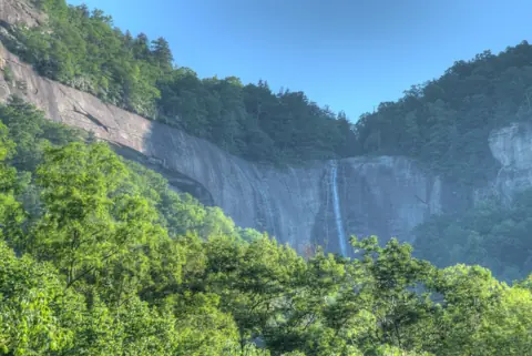 Hickory Nut Falls12 mi straight-lineOpen404FT
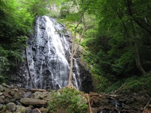 Crabtree Falls16 mi straight-lineClosed60FT
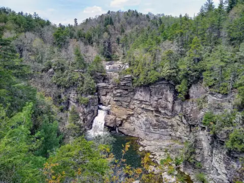 Linville Falls30 mi straight-linePartly open150FT
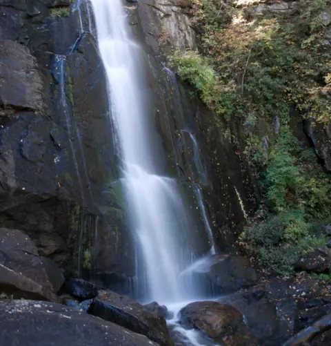 High Shoals Falls34 mi straight-lineClosed80FT
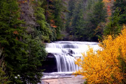 Triple Falls & High Falls35 mi straight-linePartly open125FT
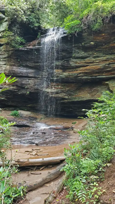 Moore Cove Falls36 mi straight-lineOpen50FT
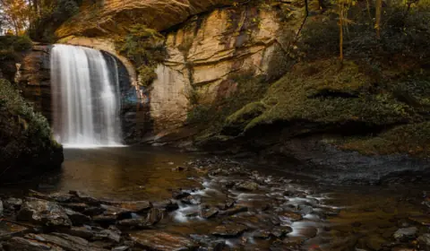 Looking Glass Falls36 mi straight-lineOpen60FT
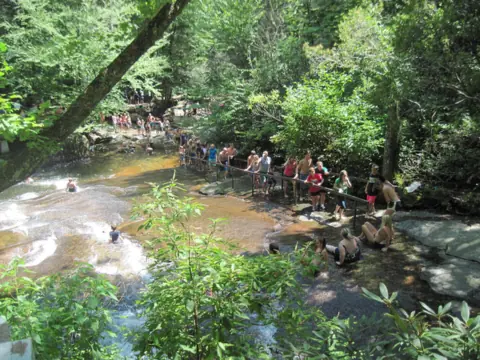 Sliding Rock37 mi straight-lineOpen60FT
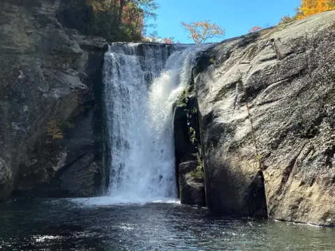 Elk River Falls44 mi straight-lineOpen65FT
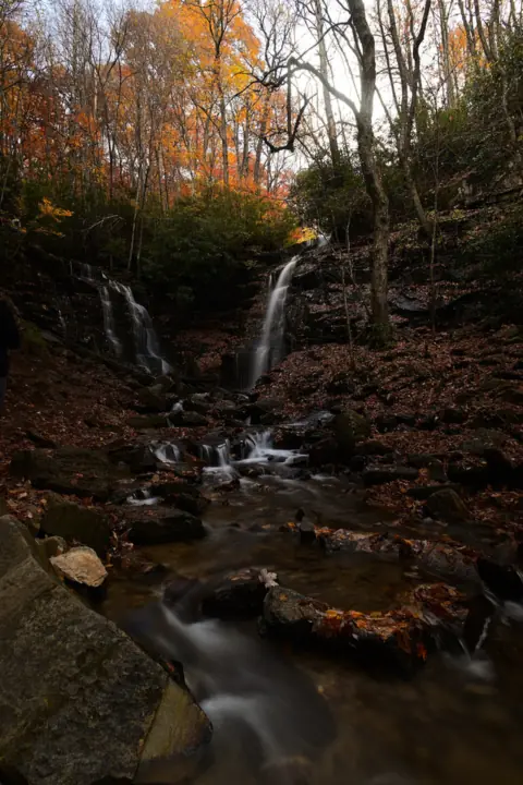 Soco Falls53 mi straight-lineOpen120FT
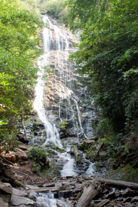 Mingo Falls58 mi straight-lineOpen120FT
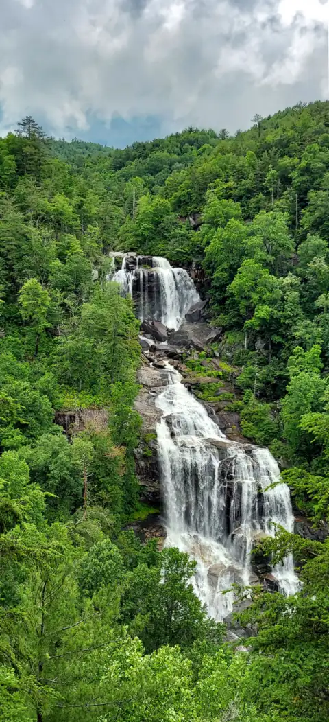 Whitewater Falls59 mi straight-lineOpen411FT
All waterfalls in North Carolina
City guides: Waterfalls near Asheville, NC · Waterfalls near Brevard, NC · Waterfalls near Charlotte, NC
On these lists: Dog-friendly waterfalls
Sources
- USDA Forest Service: Catawba Falls (last updated Sept 30, 2025)
- USDA Forest Service: 8 miles of new trails and new parking in Old Fort
- USDA Forest Service: Additional Catawba Falls trail improvements
- USDA Forest Service: Grandfather Ranger District reopening (Helene)
- Smokies.LIVE: Catawba Falls upper viewing platform reopens (Sept 28, 2026)
- FOX Carolina: Portion of Catawba Falls closed for repairs (May 4, 2026)
- Explore Asheville: Catawba Falls Trail
- Destination McDowell: Catawba Falls
- Wikipedia: Catawba Falls
Last verified Oct 27, 2026 by The Waterfall Guide editorial team. Conditions change: confirm with U.S. Forest Service, Grandfather Ranger District before you go. Spotted something out of date? Report a correction.