Right now
Right now as of Oct 28, 2026
- Status The Parkway and the MP 316.4 spur road are open (NPS, Oct 27, 2026), and the Plunge Basin Trail recently reopened (WHKY, Oct 25, 2026).
- Permit No permit needed. Fee: no fee listed.
Status note (Oct 28, 2026): The Parkway and the MP 316.4 spur road are open (NPS, Oct 27, 2026), and the Plunge Basin Trail recently reopened (WHKY, Oct 25, 2026). The campground and picnic area are closed, the visitor center is gone, and we treat the Linville Gorge Trail to the river as closed. What the status labels mean
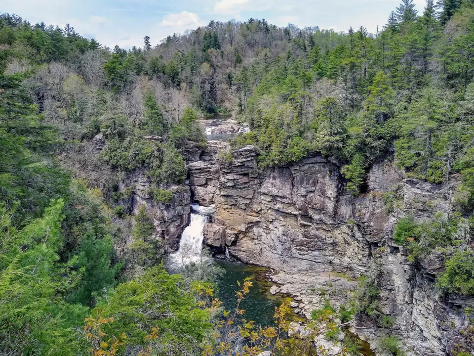
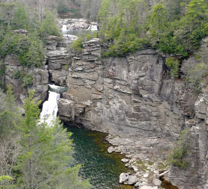
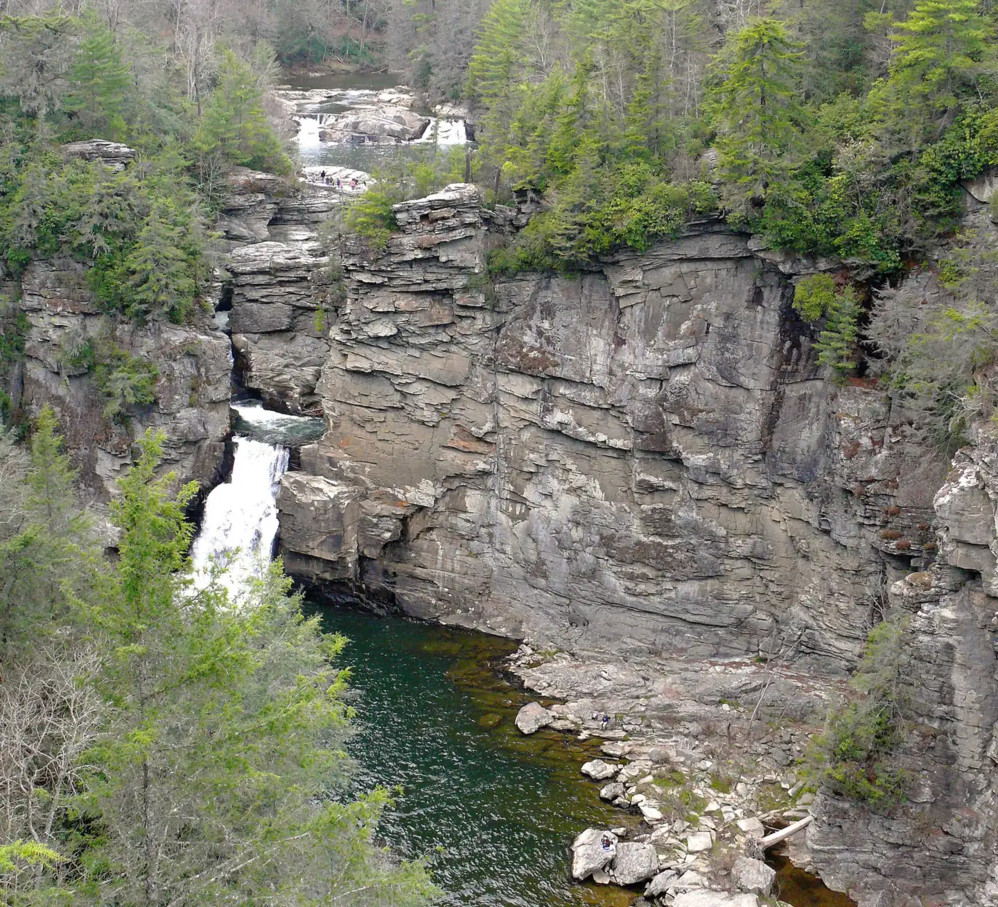
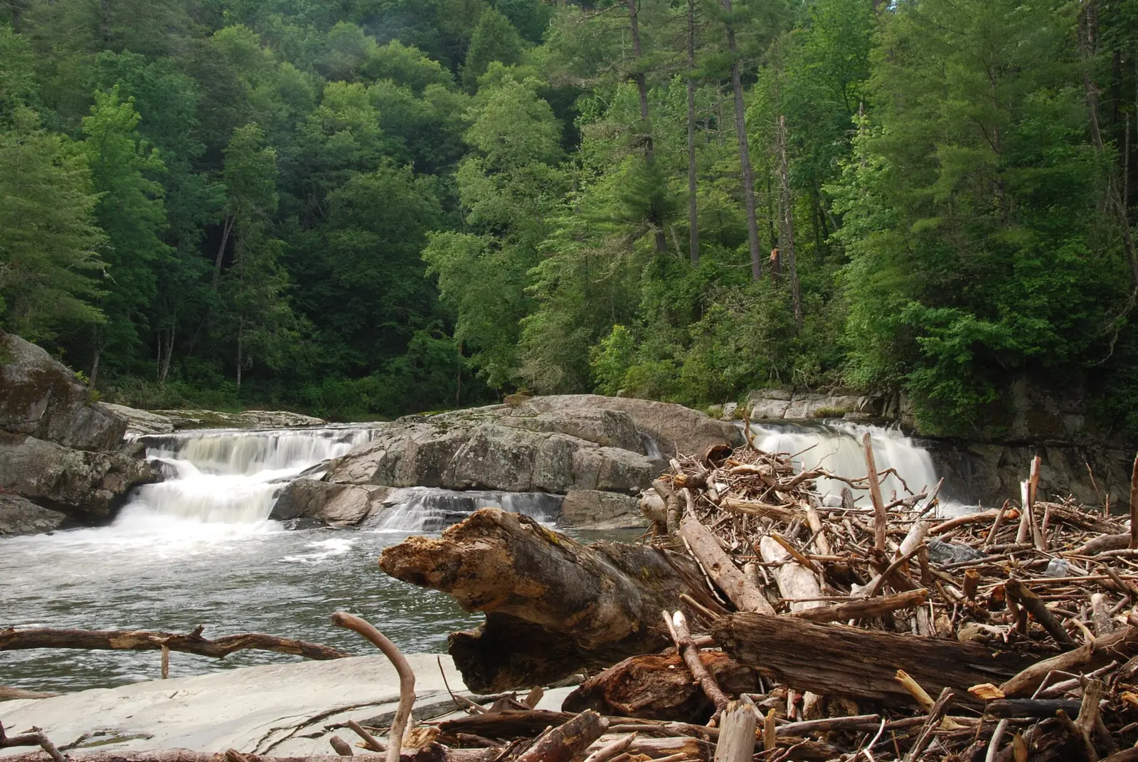
Linville Falls is a pair of upper and lower falls on the Linville River at milepost 316 of the Blue Ridge Parkway. The Parkway and the 1.5-mile spur road to the trails are open, and the NPS lists no fee. Erwins View and the recently reopened Plunge Basin Trail lead to overlooks. Hurricane Helene destroyed the visitor center, and the campground, picnic area and Gorge Trail remain closed.
About Linville Falls
The NPS describes Linville Falls as an upper and a lower falls on the Linville River, which drops nearly 2,000 feet as it runs through Linville Gorge.
Heights are not official. Wikipedia gives about 150 feet in total over four drops. Wikipedia calls the main lower drop 45 feet in its lead but 35 feet in another section, and the NPS gives no heights at all.
The land came to the Park Service as a gift. In 1952, John D. Rockefeller Jr. provided about $100,000 to buy roughly 1,100 acres around the falls and part of the gorge, according to Wikipedia. The purchased land was then donated to the National Park Service.
Two agencies share the area. The NPS runs the trail system on the Parkway side at milepost 316. The far (west) side of the river and the gorge are in the Linville Gorge Wilderness of Pisgah National Forest, managed by the U.S. Forest Service.
The visitor center after Helene
Hurricane Helene in September 2024 destroyed the Linville Falls Visitor Center, the NPS said in an August 25, 2026 news release. The Parkway is drafting a site plan that may move facilities to less flood-prone ground. It took public comment from September 1 to 30, 2026, and plans to begin design and construction in 2027.
Getting there and parking
The falls sit at milepost 316 on the Blue Ridge Parkway, near the small community of Linville Falls on US-221. The NPS road status page labels the US-221 junction at milepost 317.5 "Linville Falls".
From the Blue Ridge Parkway (MP 316.4 spur road)
Direct access from the Parkway returned in May 2026. A 1.5-mile spur road leaves the Parkway at milepost 316.4 and leads to the trail system, which starts at the former visitor center site. The NPS road status page listed the spur road as open on October 27, 2026.
On October 27, 2026, the NPS listed the Parkway open through the Linville Falls area. The nearest closed stretch was milepost 344.2 to 355.3, from NC 80 to Mount Mitchell State Park, closed for Helene damage. The NPS prohibits all recreation in that stretch.
Restrooms at the trailhead are not confirmed. The NPS recovery page lists the comfort station among the facilities Helene destroyed.
From US-221 and the Forest Service lot on Old NC 105
You can also start from the U.S. Forest Service parking lot on Old NC 105, also called Kistler Memorial Highway. A May 19, 2026 Parkway release named both access points.
An older NPS trails table (February 2026) lists the Linville Falls Trail to views of the upper falls from that lot as 0.8 miles, moderate and open. Forest Service details for this lot are not confirmed as of Oct 2026.
The NPS lists no fee on its Linville Falls pages. Its only crowd advice is to avoid weekends if you want a quieter visit.
Linville Falls Campground (closed)
The Park Service's Linville Falls Campground, with 70 sites, and the picnic area are closed. The NPS road status page listed both as closed for a Helene-related closure on October 27, 2026.
The Parkway's recovery plan includes campground rehabilitation and new septic and water systems, according to its August 25, 2026 release. It gives no reopening date; design and construction are planned to start in 2027.
Map and nearby falls
Map loads as you scroll. Open in OpenStreetMap
OpenPartly open / seasonalUnconfirmedClosedLarger map
Trails and round-trip distances
The NPS trail page describes the Erwins View and Plunge Basin trails, plus the Gorge Trail, all starting from the former visitor center site.
Erwins View Trail is 1.6 miles round trip. The NPS rates it moderate, with a strenuous section near Chimney View. The Erwins View Trail passes four overlooks: the first at 0.5 miles, Chimney View at 0.7 miles, then Gorge View, and Erwins View at 0.8 miles. Chimney View shows both the upper and lower falls.
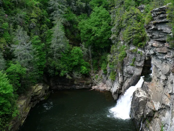
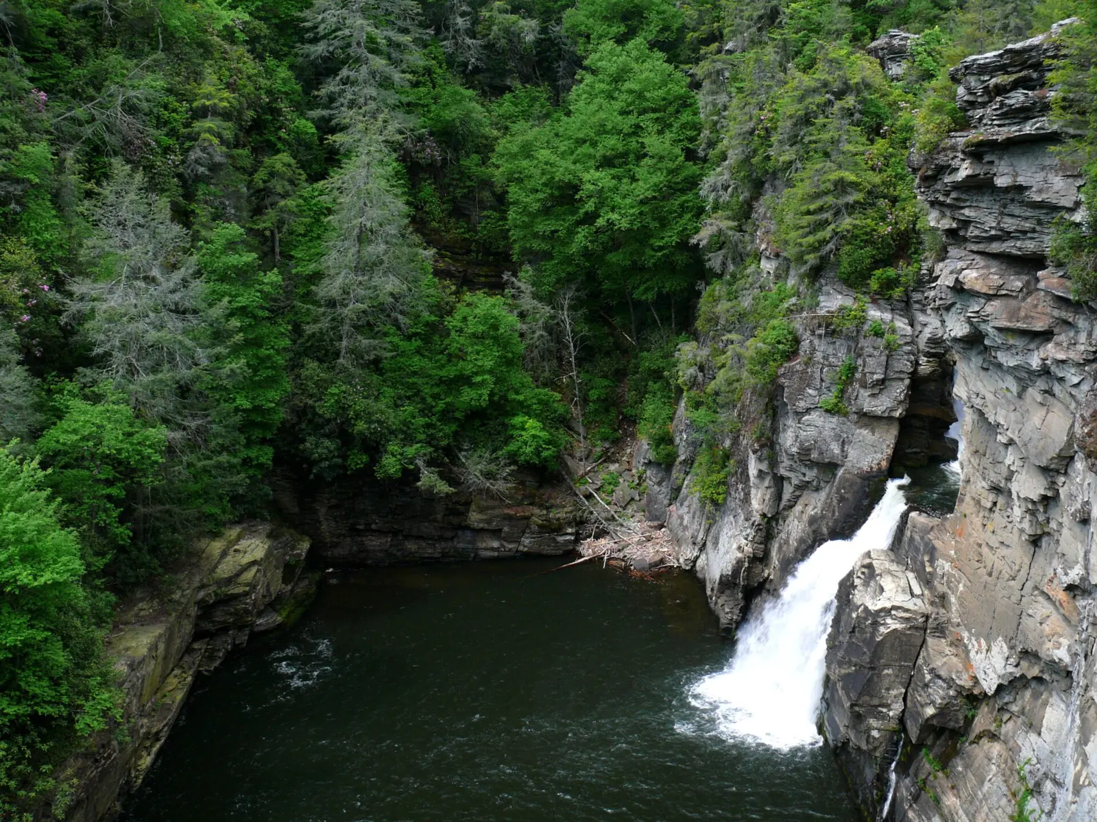
Plunge Basin Trail is 1 mile round trip and rated strenuous. The Plunge Basin Trail ends at Plunge Basin Overlook, with views of the lower falls and the Chimneys. WHKY reported on October 25, 2026 that the trail had recently reopened.
Linville Gorge Trail is 1.4 miles round trip on the NPS trail page, rated strenuous, and descends to the base of the falls. An NPS trails table (February 2026) lists this segment as closed. The Parkway's August 2026 recovery plan still lists repairs to the Linville Gorge Trail system.
We treat the Gorge Trail as closed. The NPS says only that some trails in this area remain closed, without naming them, so check its Linville Falls page before you go.
When to visit
We found no seasonal closure for the trails on the NPS Linville Falls pages. The campground and picnic area remain closed, as covered above.
Fall color and crowds
The Parkway's FAQ says fall colors develop during mid to late October. The NPS fall color page says the change starts on the highest peaks and moves downslope.
We did not find official guidance on the best season for water flow. Weekdays are the one crowd tip the NPS gives.
If you are planning a wider western North Carolina trip, Catawba Falls near Old Fort and Looking Glass Falls near Brevard are both in Pisgah National Forest.
When is the water highest?
At a USGS stream gauge about 10.8 mi from the falls, the flow averages highest in April and lowest in August, based on 30 years of records (1996 to 2025).
Show the numbers
| Month | Average flow (cfs) |
|---|---|
| January | 201 |
| February | 193 |
| March | 194 |
| April | 207 |
| May | 195 |
| June | 126 |
| July | 114 |
| August | 110 |
| September | 203 |
| October | 130 |
| November | 144 |
| December | 179 |
| Height | 150 ftNote: total over four drops, per Wikipedia; the NPS gives no heights |
|---|---|
| Trail | Erwins View Trail 1.6 mi round trip; Plunge Basin Trail 1 mi; Linville Gorge Trail 1.4 mi (treated as closed) |
| Difficulty | Moderate (Erwins View) to strenuous (Plunge Basin, Gorge Trail), per NPS |
| Entry fee | No fee listed by the NPS |
| Permit / reservation | None needed |
| Parking | End of the MP 316.4 spur road, or USFS lot on Old NC 105 |
| Swimming | Not allowed; the NPS says swimming in the Linville River and climbing on its rocks is dangerous |
| Walk behind the falls | No |
| Restrooms | Not confirmed; Helene destroyed the visitor center and its comfort station (NPS) |
| Crowds | The NPS suggests avoiding weekends |
| Managed by | National Park Service, Blue Ridge Parkway |
Safety and swimming
Swimming is not allowed. The NPS says swimming in the Linville River and climbing on its rocks is dangerous and not allowed. Stay on the trails and at the overlooks.
The Plunge Basin and Linville Gorge trails are rated strenuous, and Erwins View has a strenuous stretch near Chimney View. Wear shoes with good grip, carry water, and turn back if a trail is signed closed.
Rescues happen here. WHKY reported that a hiker was hurt on the Plunge Basin Trail on October 23, 2026 and had to be rescued.
Parts of the Parkway are still closed for Helene damage. Do not enter closed trails or the closed stretch from milepost 344.2 to 355.3. Read our waterfall safety guide before any gorge hike.
Where to stay near Linville Falls
Compare hotels, cabins and rentals close to the falls around Linville Falls.
See places to stay nearbyAffiliate link: we may earn a commission at no cost to you. Partners do not see or change our waterfall facts. Disclosure.
Photos



Linville Falls FAQ
Is Linville Falls open after Hurricane Helene?
Partly. The Parkway and the spur road from milepost 316.4 are open (NPS, Oct 27, 2026), and the Plunge Basin Trail recently reopened. The visitor center was destroyed, the campground and picnic area are closed, and the Gorge Trail to the river is treated as closed.
Where do you park for Linville Falls?
At the trailhead area at the end of the 1.5-mile spur road from Parkway milepost 316.4, which reopened in May 2026. You can also use the Forest Service lot on Old NC 105 (NPS, May 19, 2026).
Is the Linville Falls Campground open?
No. The NPS listed the campground and picnic area closed for a Helene-related closure on October 27, 2026. Rehabilitation is part of the recovery plan, with design and construction starting in 2027.
Is the Linville Falls Visitor Center open?
No. Hurricane Helene destroyed it. The NPS is drafting a site plan and expects design and construction to begin in 2027.
Is the Blue Ridge Parkway open to Linville Falls?
Yes. On October 27, 2026, the NPS listed the Parkway open through the Linville Falls area, and the spur road open. The nearest closed stretch is milepost 344.2 to 355.3, near Mount Mitchell State Park.
How long is the Erwins View Trail?
1.6 miles round trip, according to the NPS. The Erwins View Trail is rated moderate, with a strenuous section near Chimney View, and passes four overlooks.
How long is the Plunge Basin Trail at Linville Falls?
1 mile round trip, rated strenuous by the NPS. The Plunge Basin Trail leads to Plunge Basin Overlook, with views of the lower falls, and it recently reopened, WHKY reported in October 2026.
Can you swim at Linville Falls?
No. The NPS says swimming in the Linville River and climbing on its rocks is dangerous and not allowed.
Nearby waterfalls
 Crabtree Falls15 mi straight-lineClosed60FT
 Elk River Falls17 mi straight-lineOpen65FT
 High Shoals Falls29 mi straight-lineClosed80FT
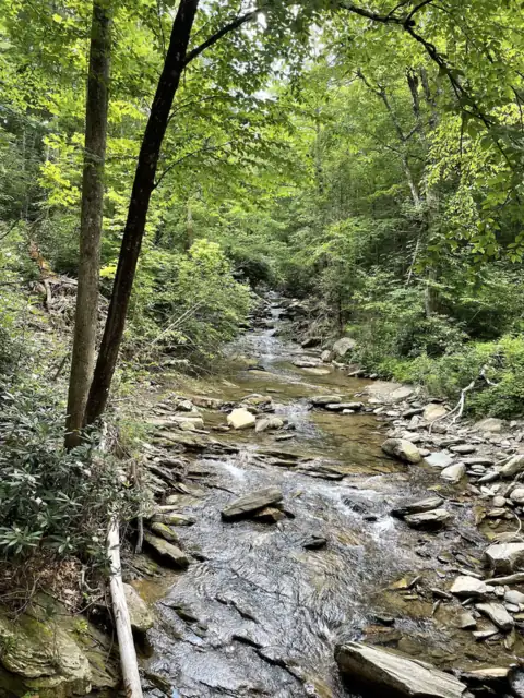 Catawba Falls30 mi straight-lineOpen205FT
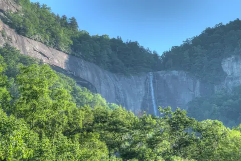 Hickory Nut Falls40 mi straight-lineOpen404FT
 Triple Falls & High Falls65 mi straight-linePartly open125FT
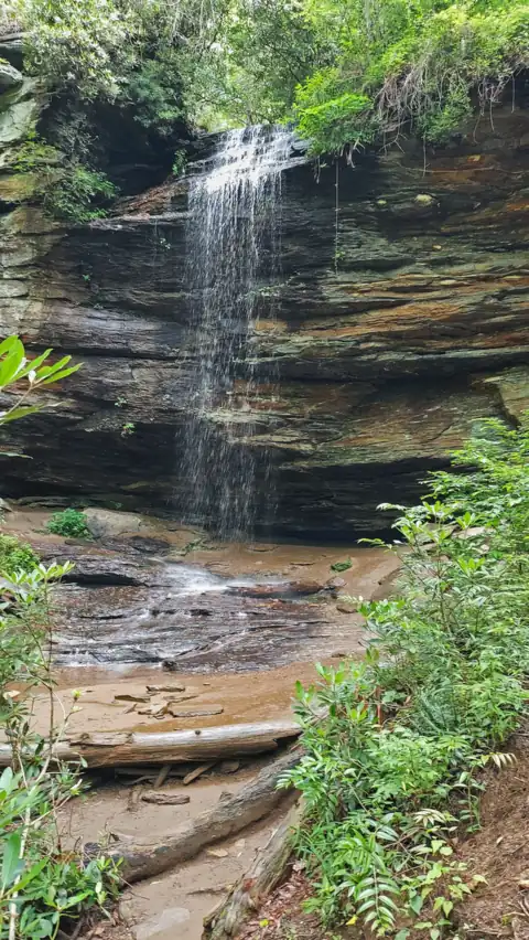 Moore Cove Falls65 mi straight-lineOpen50FT
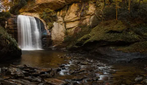 Looking Glass Falls65 mi straight-lineOpen60FT
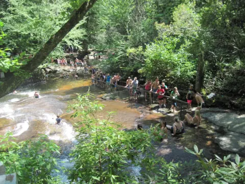 Sliding Rock65 mi straight-lineOpen60FT
All waterfalls in North Carolina
City guides: Waterfalls near Asheville, NC · Waterfalls near Charlotte, NC
Sources
Some facts credited to the National Park Service come from search-result excerpts of its official pages. Confirm fees and rules on the official site.
- NPS: Linville Falls (MP 316)
- NPS: Linville Falls Hiking Trails
- NPS: Blue Ridge Parkway Road Status and Closures (Oct 27, 2026)
- NPS news release: Parkway seeks public input on Linville Falls recovery plan (Aug 25, 2026)
- WVVA: Blue Ridge Parkway begins summer projects (May 19, 2026)
- Wikipedia: Linville Falls
- NPS: North Carolina trails table (Feb 19, 2026)
- NPS news release: Park visitors reminded to plan ahead (May 19, 2026)
- NPS: Helene recovery projects at a glance
- WHKY: Hiker rescued after incident at Linville Falls (Oct 25, 2026)
- NPS: Blue Ridge Parkway FAQ
- NPS: Blue Ridge Parkway fall colors
Last verified Oct 28, 2026 by The Waterfall Guide editorial team. Conditions change: confirm with National Park Service, Blue Ridge Parkway before you go. Spotted something out of date? Report a correction.