Right now
Right now as of Nov 3, 2026
- Permit No permit needed. Fee: no fee shown (USFS).
Status note (Nov 3, 2026): Open, as far as we can tell: on Nov 3, 2026 the USFS Moore Cove Trail page listed no closure or alert (page last updated Jan 21, 2026). What the status labels mean
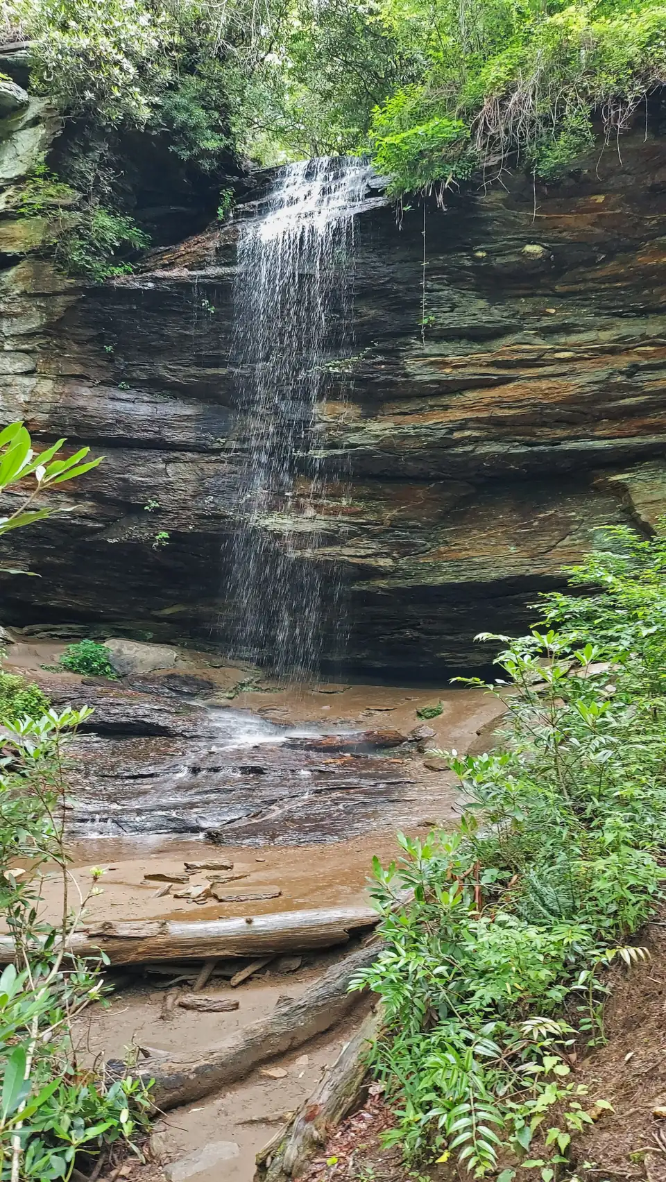
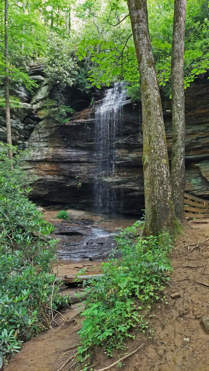
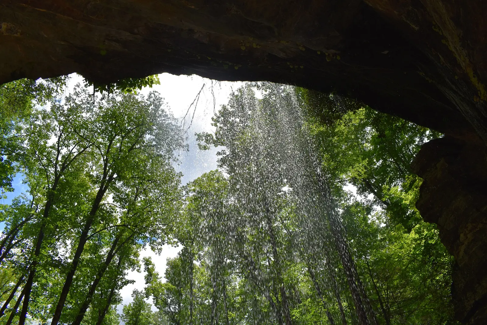
Moore Cove Falls drops 50 feet over a cave-like rock outcropping in Pisgah National Forest near Brevard, per the Forest Service. The Moore Cove Trail (TR318) is 0.7 mile and easy, ending at an observation deck. Park on the shoulder of US 276, one mile north of Looking Glass Falls. The Forest Service does not recommend going behind the falls and warns against hiking to the top.
About Moore Cove Falls
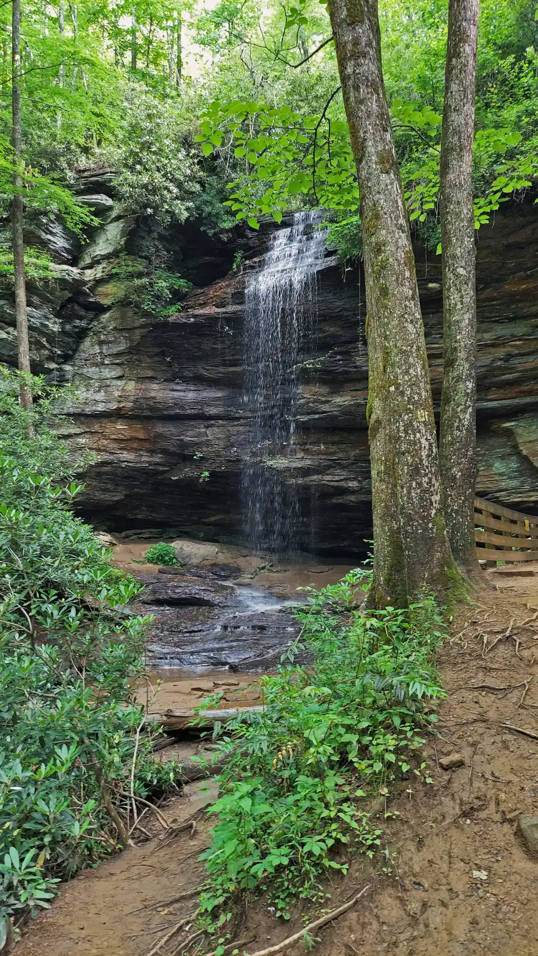
The Forest Service says Moore Cove Falls "drops 50 feet over a cave-like rock outcropping." It is in the Pisgah Ranger District of Pisgah National Forest, in Transylvania County near Brevard.
USFS calls the Moore Cove Trail "one of the most popular hiking trails in the Pisgah District." The trail ends at an observation deck at the falls.
History of the cove
Wikipedia, citing the author Kevin Adams, says the cove is named for Adam Q. Moore, who bought the property. George W. Vanderbilt bought the land in 1891 for $155, and it later became part of Pisgah National Forest.
Can you walk behind Moore Cove Falls?
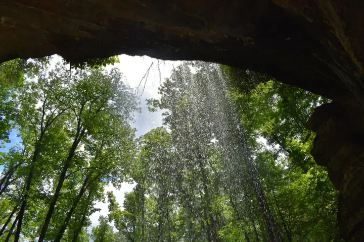
The water pours over an overhang, with a cave-like space behind it. The Forest Service says going in there is not recommended: "The wet rocks are slippery and dangerous." View the falls from the observation deck instead.
Getting there and parking
Moore Cove Falls is off US 276, one mile north of Looking Glass Falls, per the Forest Service. From the Pisgah District Ranger Station and Visitor Center lot, turn right (north) onto US 276 and go 5 miles.
Look for a stone highway bridge with a wooden footbridge and a "MOORE COVE" sign. The trail starts at the footbridge.
Coming from the Blue Ridge Parkway, NPS says to exit at Mile Marker 411 and go 8 miles south on US 276. On that approach, NPS says to park along the left-hand side of the road.
Parking on the US 276 shoulder
"Park on the paved right shoulder; there is room for approximately 18 cars," the Forest Service says. It asks drivers to park diagonally. That is the right-hand shoulder when you drive north from the ranger station.
Space for about 18 cars is not much for one of the district's most popular trails. If the shoulder is full, have a backup, such as Looking Glass Falls a mile to the south.
The USFS Moore Cove Trail page we read did not show a fee; check its Restrictions section before you go. It did not show a dog rule either, so check with the Pisgah Ranger District.
Looking Glass Falls and Sliding Rock are on the same stretch of US 276. Triple Falls is in DuPont State Recreational Forest. Our North Carolina waterfalls guide lists more.
Map and nearby falls
Map loads as you scroll. Open in OpenStreetMap
OpenPartly open / seasonalUnconfirmedClosedLarger map
The Moore Cove Trail
Distance: the Forest Service lists the Moore Cove Trail at 0.7 mile and rates it easy. It does not say whether that is one way. NPS also calls it a 0.7-mile, easy trail. Wikipedia describes a ¾-mile trail of moderate difficulty.
The start: cross the stream on the footbridge and follow the yellow blazes, USFS says. The first 150 feet are moderate, and then the grade turns easy.
Along the way: you cross the creek three more times on footbridges. The approximate elevation change is 250 feet. The trail can get muddy after rain, so wear shoes with good grip.
The end: the trail finishes at the observation deck. That deck is the place to stop and take photos.
Stay off the top of the falls
Do not climb to the top. The Forest Service says hiking to the top of the falls, or the area upstream, is dangerous. It adds that doing so "can cause significant environmental damage."
When to visit
We found no official statement on the best season or flow at Moore Cove Falls. The Forest Service notes that the trail can get muddy after rain.
The trail is popular and the shoulder holds about 18 cars, so an early start helps on busy days.
The Forest Service page showed no closure or alert on Nov 3, 2026. It was last updated on January 21, 2026.
| Height | 50 ftNote: per the Forest Service, which says it drops 50 ft over a cave-like rock outcropping |
|---|---|
| Trail | Moore Cove Trail (TR318): 0.7 mi, easy, about 250 ft of elevation change, yellow blazes, ending at the observation deck (USFS). The Forest Service does not say whether 0.7 mi is one way |
| Difficulty | Easy after a moderate first 150 ft; three footbridge creek crossings, muddy after rain (USFS) |
| Entry fee | The USFS Moore Cove Trail page we read did not show a fee; check its Restrictions section before you go. |
| Permit / reservation | No permit listed; park on the US 276 shoulder |
| Parking | US 276 shoulder, about 18 cars |
| Dogs | The USFS page we read did not show a dog rule; check with the Pisgah Ranger District |
| Swimming | No rule found. USFS says not to hike to the top of the falls or upstream, and does not recommend entering the cave-like area behind the falls |
| Wheelchair / stroller | No accessible route described: a moderate first 150 ft, three footbridges and about 250 ft of elevation change (USFS) |
| Restrooms | None listed on the USFS trail page |
| Best time to visit | No official best month; USFS says the trail can get muddy after rain |
| Managed by | U.S. Forest Service, Pisgah Ranger District |
Safety and swimming
The Forest Service gives two clear warnings here. First, do not hike to the top of the falls or the area upstream. It calls that dangerous and says it can cause significant environmental damage.
Second, entering the cave-like area behind the falling water is not recommended. "The wet rocks are slippery and dangerous," USFS says.
NPS adds general advice for the area. It says the top of any waterfall is dangerous, and you should never play in the stream above one. It also says not to climb on rocks near waterfalls.
We found no swimming rule. Watch your step on the footbridges and in the mud after rain, and keep children close on the deck.
Our waterfall safety guide covers slick rock near falls.
Conditions change: confirm with the Forest Service before you go.
Where to stay near Moore Cove Falls
Compare hotels, cabins and rentals close to the falls around Brevard.
See places to stay nearbyAffiliate link: we may earn a commission at no cost to you. Partners do not see or change our waterfall facts. Disclosure.
Photos


Moore Cove Falls FAQ
How long is the Moore Cove Falls hike?
The Forest Service lists the Moore Cove Trail as 0.7 mile and easy, with about 250 feet of elevation change. It does not say whether that figure is one way. Wikipedia describes the trail as ¾ mile.
Can you walk behind Moore Cove Falls?
There is a cave-like area behind the falling water, but the Forest Service says going in is not recommended because the wet rocks are slippery and dangerous. View the falls from the observation deck.
Where do you park for Moore Cove Falls?
On the paved right shoulder of US 276, about one mile north of Looking Glass Falls. The Forest Service says there's room for about 18 cars and asks you to park diagonally.
How tall is Moore Cove Falls?
50 feet. The Forest Service says it drops 50 feet over a cave-like rock outcropping.
Is there a fee for Moore Cove Falls?
The USFS Moore Cove Trail page we read did not show a fee; check its Restrictions section before you go. Parking is on the US 276 shoulder.
Are dogs allowed on the Moore Cove Trail?
The USFS page we read did not show a dog rule; check with the Pisgah Ranger District before you bring one.
What other waterfalls are near Moore Cove Falls?
Looking Glass Falls is one mile south on US 276, and Sliding Rock is on the same road. Triple Falls is in DuPont State Recreational Forest.
Nearby waterfalls
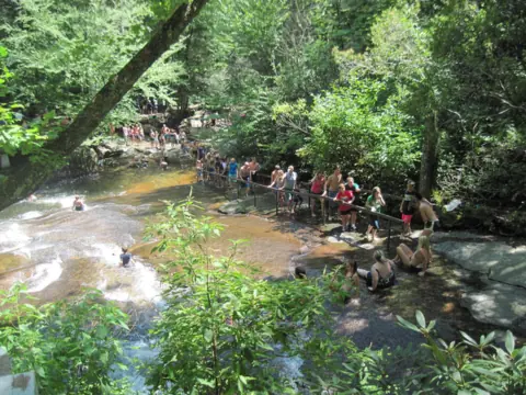 Sliding Rock1 mi straight-lineOpen60FT
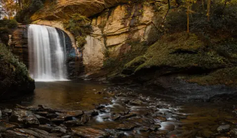 Looking Glass Falls1 mi straight-lineOpen60FT
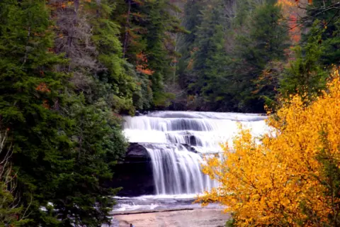 Triple Falls & High Falls12 mi straight-linePartly open125FT
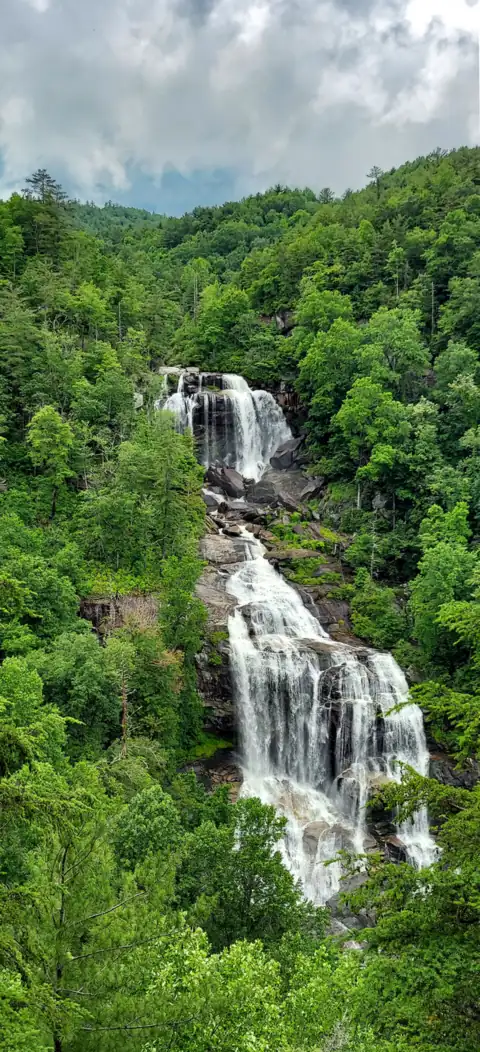 Whitewater Falls24 mi straight-lineOpen411FT
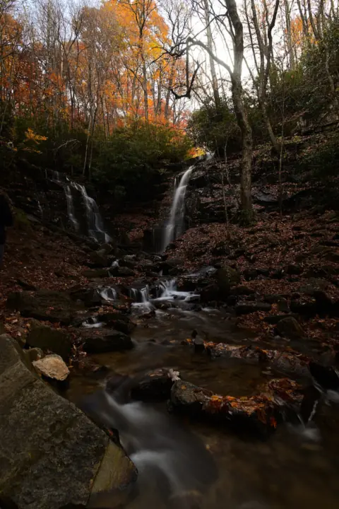 Soco Falls25 mi straight-lineOpen120FT
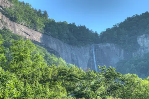 Hickory Nut Falls30 mi straight-lineOpen404FT
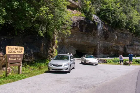 Bridal Veil Falls30 mi straight-lineOpen45FT
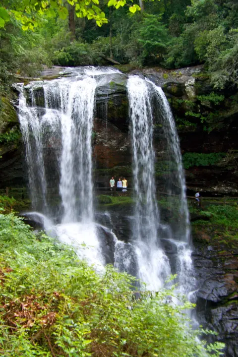 Dry Falls31 mi straight-lineOpen75FT
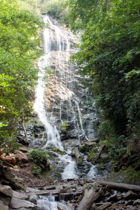 Mingo Falls32 mi straight-lineOpen120FT
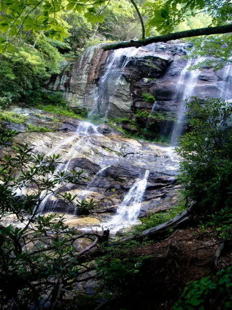 Glen Falls32 mi straight-lineOpen70FT
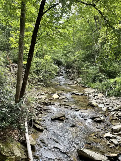 Catawba Falls36 mi straight-lineOpen205FT
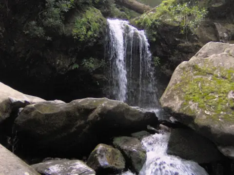 Grotto Falls45 mi straight-lineOpen25FT
All waterfalls in North Carolina
City guides: Waterfalls near Asheville, NC · Waterfalls near Brevard, NC · Waterfalls near Cherokee, NC
On these lists: Easy waterfall hikes
Sources
- USFS National Forests in North Carolina: Moore Cove Trail TR318 (updated Jan 21, 2026; read Nov 3, 2026)
- NPS Blue Ridge Parkway: Moore Cove Falls (updated Nov 2, 2024)
- Wikipedia: Moore Cove Falls
Last verified Nov 3, 2026 by The Waterfall Guide editorial team. Conditions change: confirm with U.S. Forest Service, Pisgah Ranger District before you go. Spotted something out of date? Report a correction.