Right now
Right now as of Oct 28, 2026
- Permit No permit needed. Entry fee: $3 / vehicle.
Status note (Oct 28, 2026): Open. The Forest Service page (updated Sept 11, 2026) gives current visiting advice, and Recreation.gov lists the site open year-round. What the status labels mean
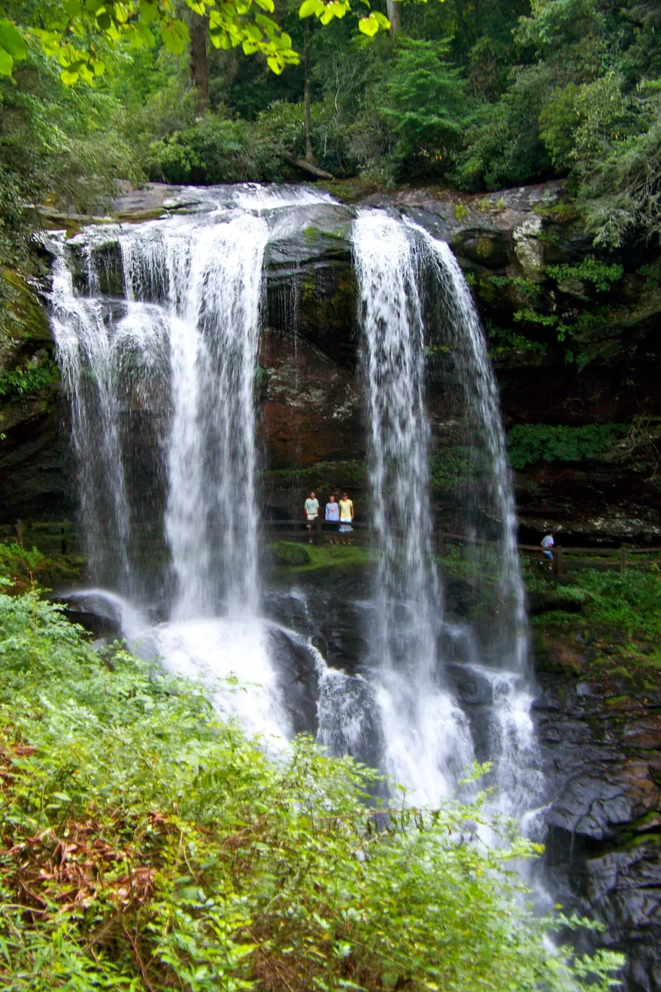
Dry Falls is a 75-foot waterfall on the Cullasaja River in Nantahala National Forest, about 2 to 3 miles west of Highlands on US-64. A short paved path with stairs takes you behind the curtain of water. Day use costs $3 per vehicle, and an accessible walkway leads to an overlook.
About Dry Falls
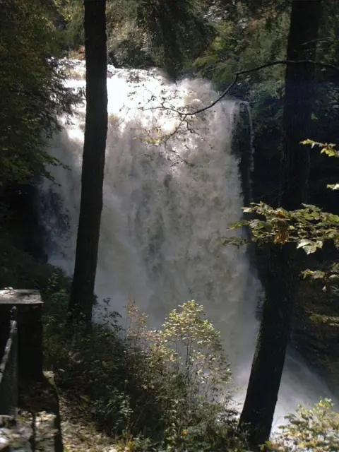
At Dry Falls you can walk behind the water on a built path, the Forest Service says. The Cullasaja River pours over an overhanging ledge, and the trail curves under it. The Forest Service lists the height as 75 feet.
Local tradition says the name comes from walking behind the falls and staying dry. That's only true in low water. When the river is high, expect spray and mist on the path.
Other falls in the Cullasaja Gorge
Dry Falls is part of a series of waterfalls on an 8.7-mile stretch of the Cullasaja River that ends with Cullasaja Falls, according to Wikipedia. The Forest Service calls this stretch of US-64 the Cullasaja Gorge.
Bridal Veil Falls is the closest neighbor, a little east of Dry Falls and nearer to Highlands. You park at roadside pull-offs and can walk, but not drive, behind it.
Cullasaja Falls lies farther west toward Franklin. It is seen only from a tiny roadside pull-off, and we found no official viewing area or trail. If you stop, pull fully off the narrow highway.
South of Highlands off NC-106, Glen Falls is a short hike to three cascades.
Getting there and parking
Dry Falls has its own Forest Service parking lot on US-64 west of Highlands, and day use costs $3 per vehicle. The lot fills fast at midday.
Directions and parking
Dry Falls is about 2 to 3 miles west of Highlands on US-64. The Forest Service says about 2 miles, and the Highlands Chamber says 3.2 miles from town. Heading west toward Franklin, the large parking area is on the left, per the Chamber.
The lot gets very busy in the middle of the day and on holidays. The Forest Service asks visitors to come back later if it is full and not to block the road. US-64 through the gorge is narrow and curvy.
Fee and passes
Day use is $3 per vehicle, or $15 for an annual pass. Recreation.gov says the pass is valid only at Dry Falls, Whitewater Falls and Whiteside Mountain. Buy the pass ahead of time on Recreation.gov or on site. On-site day passes have no printed copy, and your plate number and the pass on your device are used to check compliance.
Recreation.gov warns that cell service at the site is limited, so buy your pass before you drive into the gorge.
Facilities
The Forest Service says there are no restrooms and no potable water at Dry Falls. Bring water, and plan a restroom stop in Highlands or Franklin.
Map and nearby falls
Map loads as you scroll. Open in OpenStreetMap
OpenPartly open / seasonalUnconfirmedClosedLarger map
The walk
The walk is short and paved. The Highlands Chamber lists about 0.2 miles with 49 feet of ascent, and the path descends by several flights of stairs. The Forest Service lists the trail at about 0.11 miles each way.
Most of the time goes to the stairs; take the climb back at your own pace.
If you can't manage stairs, the Forest Service describes an accessible walkway from the parking area to an overlook with a view of the falls.
When to visit
Dry Falls is open year-round (Recreation.gov); a Forest Service listing gives dawn to dusk. The Forest Service reports extremely high visitor volume in the middle of the day and on holidays, and it suggests coming in the morning or evening.
Flow is usually highest from January through April, based on USGS monthly averages for 1941-1970, and after heavy rain. High flow means more spray behind the falls. In winter, wet rock and stairs can ice over.
When is the water highest?
At a USGS stream gauge about 0.4 mi from the falls, the flow averages highest in March and lowest in August, based on 30 years of records (1941 to 1970). These are older records from a gauge that no longer reports, so treat them as a rough seasonal guide.
Show the numbers
| Month | Average flow (cfs) |
|---|---|
| January | 76 |
| February | 87 |
| March | 92 |
| April | 82 |
| May | 55 |
| June | 50 |
| July | 46 |
| August | 39 |
| September | 40 |
| October | 46 |
| November | 50 |
| December | 68 |
| Height | 75 ftNote: Forest Service figure; other guides give 65 to 80 ft |
|---|---|
| Trail | About 0.2 mi on a paved path with several flights of stairs, behind the falls (Highlands Chamber) |
| Difficulty | Short, but with several flights of stairs; the Highlands Chamber rates it moderate |
| Entry fee | $3 per vehicle per day, or a $15 annual pass (valid only at Dry Falls, Whitewater Falls and Whiteside Mountain) |
| Permit / reservation | None; buy the day pass on Recreation.gov, ahead of time or on site |
| Parking | Forest Service lot on US-64; very busy midday |
| Hours / season | Year-round (Recreation.gov); dawn to dusk per a Forest Service listing |
| Dogs | Allowed on a 6-ft leash |
| Swimming | No; stay on the path |
| Wheelchair / stroller | Accessible walkway to an overlook; the path behind the falls has stairs |
| Walk behind the falls | Yes |
| Restrooms | None at the site, and no potable water (Forest Service) |
| Best time to visit | Year-round; go in the morning or evening |
| Crowds | Very high midday and on holidays |
| Managed by | U.S. Forest Service, Nantahala Ranger District |
Safety and swimming
Dry Falls is not a swimming site. Stay on the paved path and behind the railings. The rocks around the falls are always wet and slick, and the river below is fast.
In cold weather, treat every wet surface as icy. Hold handrails on the stairs and keep children close on the path behind the falls.
For general tips, see our waterfall safety page.
Where to stay near Dry Falls
Compare hotels, cabins and rentals close to the falls around Highlands.
See places to stay nearbyAffiliate link: we may earn a commission at no cost to you. Partners do not see or change our waterfall facts. Disclosure.
Photos

Dry Falls FAQ
Is Dry Falls free?
No. Day use is $3 per vehicle, bought on Recreation.gov, ahead of time or on site. A $15 annual pass is valid only at Dry Falls, Whitewater Falls and Whiteside Mountain. Cell service is limited, so buy ahead.
How long is the walk to Dry Falls?
About 0.2 miles on a paved path, according to the Highlands Chamber, with several flights of stairs and 49 feet of ascent.
Can you walk behind Dry Falls?
Yes. The Forest Service describes a trail that leads right behind the 75-foot falls. The paved path uses stairs, so it is not wheelchair accessible.
Is Dry Falls wheelchair accessible?
Partly. An accessible walkway from the parking area leads to an overlook. The path behind the falls has stairs.
When is the best time to visit Dry Falls?
Morning or evening. The Forest Service reports very heavy crowds midday and on holidays. The site is open year-round (Recreation.gov); a Forest Service listing gives dawn to dusk.
Where is Dry Falls, and what is nearby?
On US-64 about 2 to 3 miles west of Highlands, with the lot on the left heading west (Highlands Chamber). Bridal Veil Falls is just east, closer to Highlands. Cullasaja Falls is farther west, seen only from a tiny roadside pull-off.
Why is it called Dry Falls?
By local tradition, because you can walk behind the falls and stay dry. That is only true in low water. After rain, the path behind the falls gets wet with spray.
Can you swim at Dry Falls?
No. It isn't a swimming site. The rocks are slick. In winter, wet rock and stairs can ice over.
Nearby waterfalls
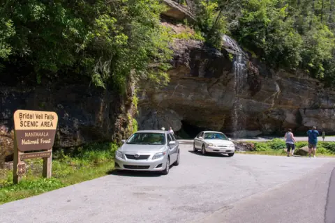 Bridal Veil Falls1 mi straight-lineOpen45FT
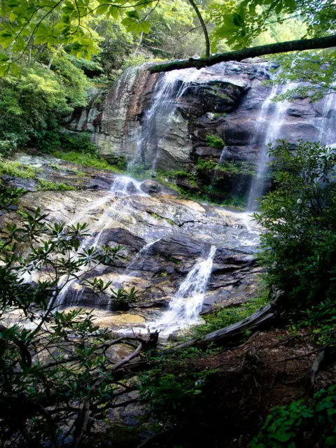 Glen Falls3 mi straight-lineOpen70FT
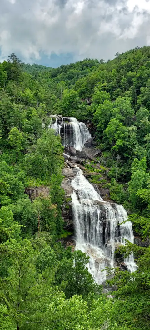 Whitewater Falls13 mi straight-lineOpen411FT
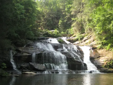 Panther Creek Falls28 mi straight-linePartly open70FT
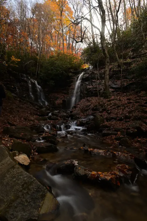 Soco Falls30 mi straight-lineOpen120FT
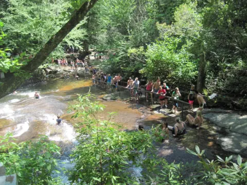 Sliding Rock31 mi straight-lineOpen60FT
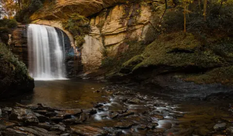 Looking Glass Falls31 mi straight-lineOpen60FT
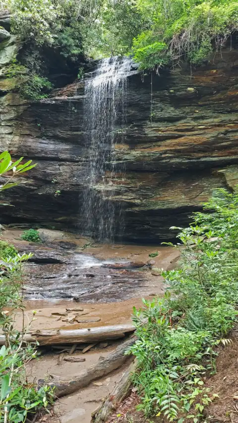 Moore Cove Falls31 mi straight-lineOpen50FT
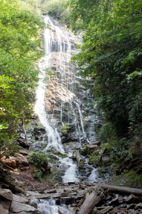 Mingo Falls32 mi straight-lineOpen120FT
 High Shoals Falls32 mi straight-lineOpen
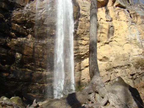 Toccoa Falls33 mi straight-lineOpen186FT
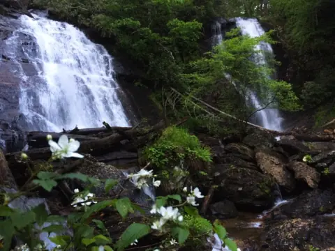 Anna Ruby Falls34 mi straight-lineOpen153FT
All waterfalls in North Carolina
City guides: Waterfalls near Blue Ridge, GA · Waterfalls near Brevard, NC · Waterfalls near Cherokee, NC
On these lists: Dog-friendly waterfalls · Roadside waterfalls · Waterfalls you can walk behind
Sources
Some facts credited to the Forest Service come from search-result excerpts of its official pages. Confirm fees and rules on the official site.
- USDA Forest Service: Dry Falls (last updated Sept 11, 2026)
- USDA Forest Service: Dry Falls Trail
- USDA Forest Service: Cullasaja Gorge
- Recreation.gov: Dry Falls, Whitewater Falls and Whiteside Mountain day-use pass
- Highlands Chamber of Commerce: Dry Falls trail listing
- Highlands Chamber of Commerce: Cullasaja Falls
- 36 CFR 261.16: Developed recreation sites (pets on a leash not over 6 feet)
- Wikipedia: Dry Falls (North Carolina)
Last verified Oct 28, 2026 by The Waterfall Guide editorial team. Conditions change: confirm with U.S. Forest Service, Nantahala Ranger District before you go. Spotted something out of date? Report a correction.