Right now
Right now as of Oct 28, 2026
- Permit None needed.
Status note (Oct 28, 2026): Open, per Visit Cherokee, the EBCI tourism site, which says the falls have recently reopened and are free and open to the public (checked October 2026). The EBCI rebuilt the trailhead in 2025, a project of a little over six months that ended with a July 23, 2025 ribbon-cutting. We found no 2026 closure. What the status labels mean
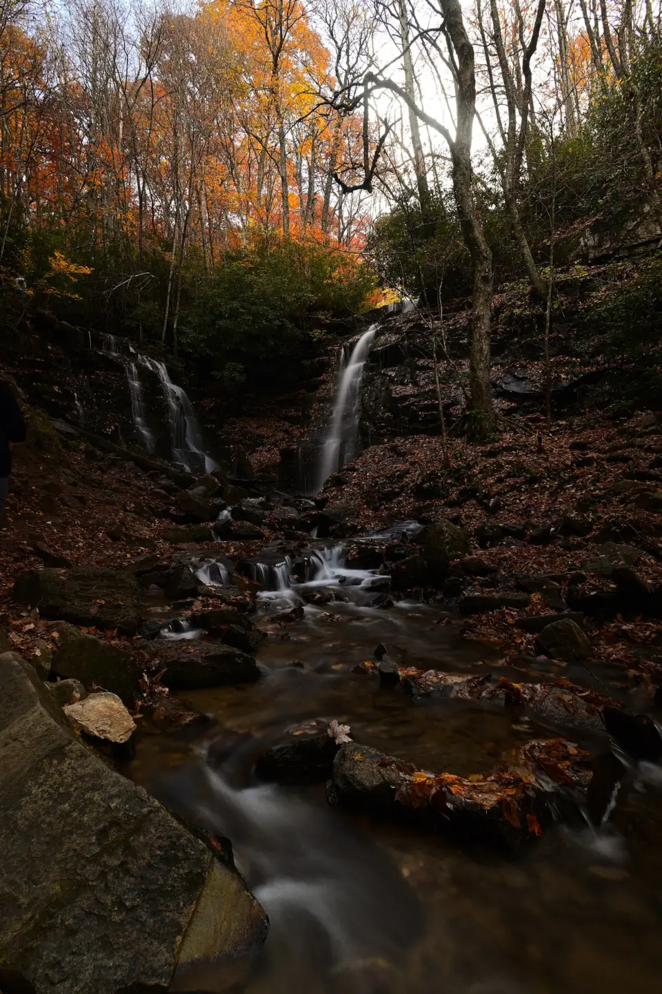
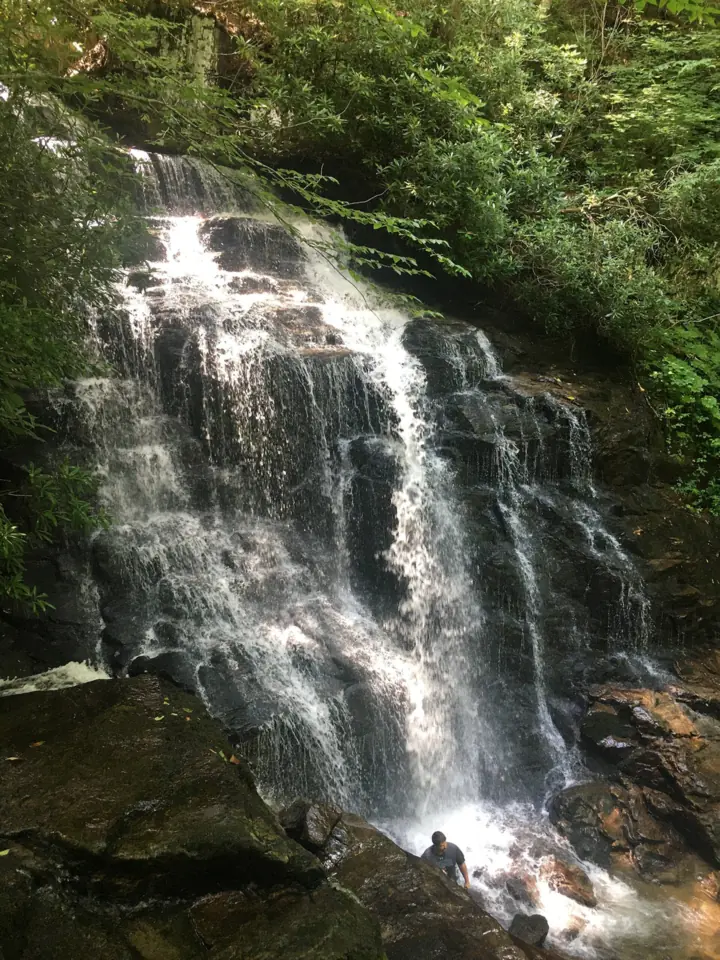
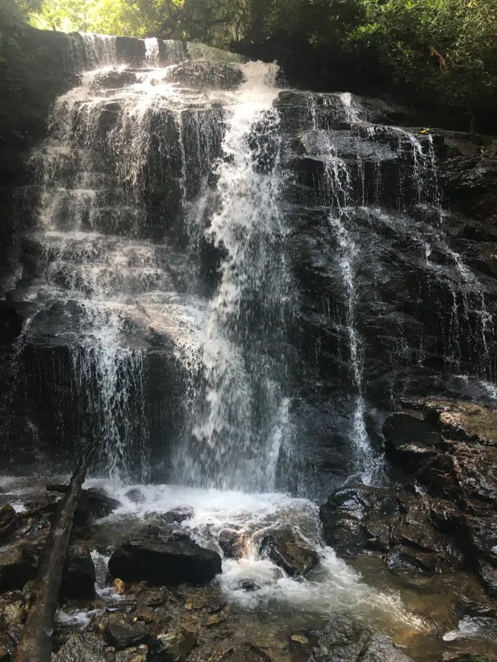
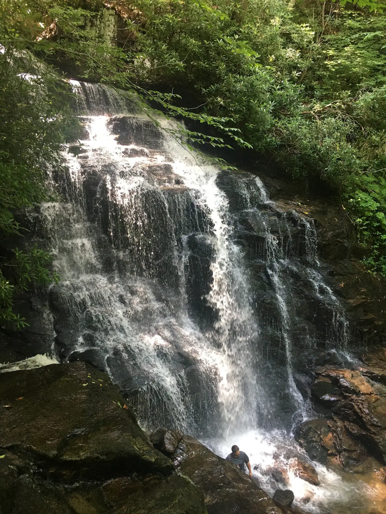
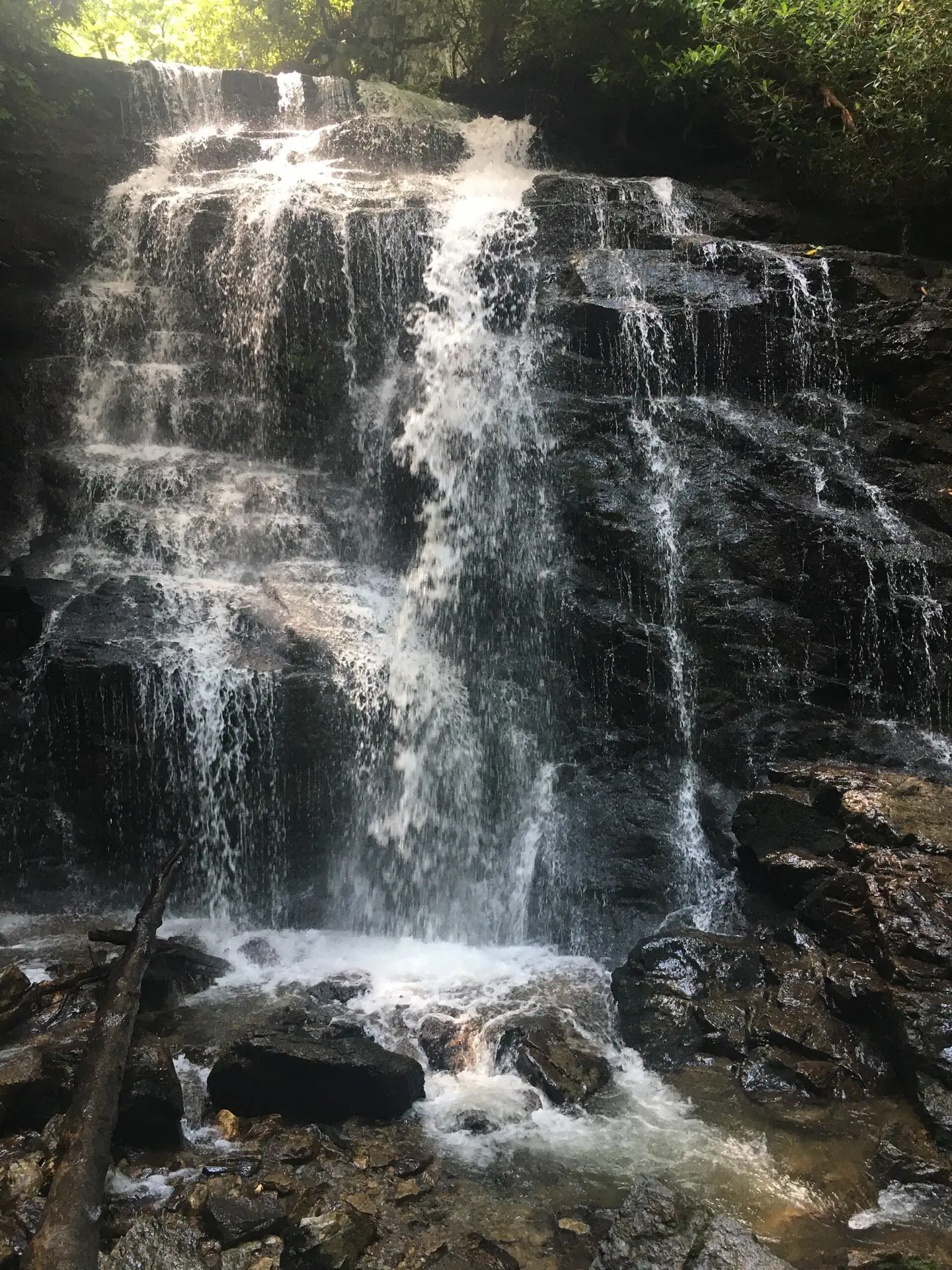
Soco Falls is a double waterfall where Soco Creek and Brush Creek plunge into a shared pool, about 120 feet by Visit Cherokee's figure. The falls are on Eastern Band of Cherokee Indians land off US-19, between Cherokee and Maggie Valley. A walk of about 0.2 miles leads from the new EBCI lot to two decks. Visit Cherokee lists Soco Falls as free and recently reopened (checked October 2026).
About Soco Falls
Soco Falls is a double waterfall on the Qualla Boundary, the land of the Eastern Band of Cherokee Indians (EBCI), in the Wayohi (Wolftown) community. The falls are on tribal land, not national forest or national park land. Visit Cherokee, the EBCI tourism site, is the official place to check visitor information.
Two creeks form the falls. Soco Creek and Brush Creek plunge into a shared pool, according to Visit Cherokee. Heights differ by source: Visit Cherokee says about 120 feet, while ncwaterfalls.com describes a double cascade about 50 feet high. We found no USGS figure.
The site was rebuilt in 2025. EBCI Project Management built a trailhead improvement project, paid for with American Rescue Plan Act (ARPA) funds, that took about six months. A ribbon-cutting on July 23, 2025 marked its completion, the Cherokee One Feather reported.
The project moved the trailhead away from a blind curve on US-19 that community members considered unsafe. The 2025 project added a new parking lot with accessible spaces, a new overlook and a renovated deck at the falls.
Getting there and parking
Soco Falls is on US-19 about 11 miles east of Cherokee, with a new EBCI parking lot off the highway. Visit Cherokee lists the falls as free.
From Cherokee
Soco Falls is on US-19 about 11 miles east of Cherokee, on the right as you head toward Maggie Valley, according to Visit Cherokee.
Across the Smokies near Gatlinburg, Grotto Falls is reached from the Roaring Fork Motor Nature Trail, which the Park Service opens only part of the year.
From Maggie Valley and the Blue Ridge Parkway
Coming from Maggie Valley, Visit Cherokee says the falls are 1.5 miles west of the Blue Ridge Parkway, on the left.
Parking and GPS coordinates
We found no official street address. The falls are at about 35.4925, -83.1696. The One Feather places them in the Wayohi (Wolftown) community of the Qualla Boundary.
Park in the new EBCI lot built in 2025. The One Feather reported that it has accessible spaces. ncwaterfalls.com says it sits slightly up US-19 from the old roadside pullout, which is now fenced off. Visit Cherokee's page still describes a small, unmarked pullout, wording that predates the new lot.
ncwaterfalls.com lists portable toilets at the new parking area, along with picnic tables, benches and an information kiosk. Visit Cherokee says the falls are free and open to the public. We found no posted hours.
Mingo Falls is the other EBCI-managed waterfall near Cherokee. The tribe finished a revitalization there in September 2025.
Map and nearby falls
Map loads as you scroll. Open in OpenStreetMap
OpenPartly open / seasonalUnconfirmedClosedLarger map
The short trail and two decks
Visit Cherokee calls the route a brief hike from parking to a viewing platform. The site ncwaterfalls.com gives about 0.2 miles and describes the trail as easy, with a steep section.
Because the trailhead moved, the new trail is a little longer than the old one, EBCI Project Management told the One Feather. The layout now has an upper overlook plus a renovated deck down at the falls.
The lot has accessible parking spaces, according to the One Feather. ncwaterfalls.com and Blue Ridge Mountain Life report that the upper deck is wheelchair accessible. The trail down to the deck at the falls is not. Blue Ridge Mountain Life notes that the accessible platform looks out over the mountains rather than the falls themselves.
Blue Ridge Mountain Life has also reported that the old scramble path down beside the falls is closed. Since the renovation, the new trail and the two decks are the way to see the falls.
When to visit
Visit Cherokee says Soco Falls has recently reopened. The 2025 trailhead project ran a little over six months, the One Feather reported. We found no 2026 closure and no reports of Hurricane Helene damage at the site.
We did not find an official best season or crowd guide for Soco Falls. If you visit after a storm, plan for wet footing on the trail and decks.
We also could not find an EBCI rules page covering dogs, alcohol or swimming at the falls. Check Visit Cherokee before you go, and follow any signs posted at the site.
| Height | 120 ftNote: about 120 ft per Visit Cherokee; ncwaterfalls.com calls it a double cascade of about 50 ft |
|---|---|
| Trail | Short trail from the lot to an upper overlook and a deck at the falls; about 0.2 mi (ncwaterfalls.com) |
| Difficulty | Easy, with a steep section (ncwaterfalls.com) |
| Entry fee | Free (Visit Cherokee) |
| Permit / reservation | None needed |
| Parking | New EBCI lot on US-19; old pullout fenced off |
| Swimming | No EBCI swimming rule found; Visit Cherokee warns the terrain is slippery, especially after rain |
| Wheelchair / stroller | Accessible parking; the upper deck is reported accessible, but the trail down to the falls deck is not |
| Walk behind the falls | No |
| Restrooms | Portable toilets at the parking area (ncwaterfalls.com) |
| Managed by | Eastern Band of Cherokee Indians (EBCI) |
Safety and swimming
We found no EBCI swimming rule for Soco Falls. Visit Cherokee warns that the terrain is slippery, especially after rain. Stay on the trail and the two decks, and do not climb on the rocks around the falls.
The old scramble path beside the falls was reported closed after the 2025 work. Do not use it, and do not cross the fence at the former pullout on US-19.
The old trailhead was moved because of a blind curve on US-19. Park only in the lot and take care near the highway. You are a guest on tribal land, so pack out what you bring. See our waterfall safety guide for more.
Where to stay near Soco Falls
Compare hotels, cabins and rentals close to the falls around Cherokee.
See places to stay nearbyAffiliate link: we may earn a commission at no cost to you. Partners do not see or change our waterfall facts. Disclosure.
Photos


Soco Falls FAQ
Is Soco Falls open in 2026?
Yes, as far as we can tell (October 2026). Visit Cherokee says it has recently reopened after 2025 construction, which ended with a July 23, 2025 ribbon-cutting. We found no dated 2026 EBCI notice and no 2026 closure.
Where is Soco Falls?
On US-19 on the Qualla Boundary, about 11 miles east of Cherokee and 1.5 miles west of the Blue Ridge Parkway toward Maggie Valley (Visit Cherokee). GPS coordinates are about 35.4925, -83.1696.
How long is the hike to Soco Falls?
About 0.2 miles from the new EBCI lot to the upper overlook and the deck at the falls, per ncwaterfalls.com. EBCI says the new trail is a little longer than the old path.
Does Soco Falls cost anything?
No. Visit Cherokee, the Eastern Band of Cherokee Indians tourism site, says it is free and open to the public.
Where do you park for Soco Falls?
In the new EBCI parking lot off US-19, which has accessible spaces. ncwaterfalls.com reports that the old roadside pullout is fenced off.
Is Soco Falls wheelchair accessible?
Partly. The lot has accessible spaces and the upper viewing deck is reported to be accessible. The trail down to the deck at the falls is not.
Can you still climb down to the bottom of Soco Falls?
No. Since the 2025 renovation, visitors use the new trail and decks. Blue Ridge Mountain Life reported that the old scramble path beside the falls is closed.
Who manages Soco Falls?
The Eastern Band of Cherokee Indians. The falls are on the Qualla Boundary, and EBCI Project Management built the 2025 trailhead improvements.
Nearby waterfalls
 Mingo Falls6 mi straight-lineOpen120FT
 Grotto Falls20 mi straight-lineOpen25FT
 Sliding Rock25 mi straight-lineOpen60FT
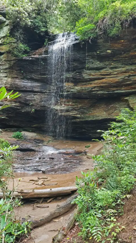 Moore Cove Falls25 mi straight-lineOpen50FT
 Looking Glass Falls26 mi straight-lineOpen60FT
 Laurel Falls27 mi straight-lineClosed80FT
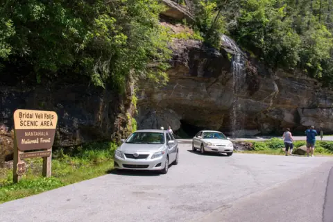 Bridal Veil Falls29 mi straight-lineOpen45FT
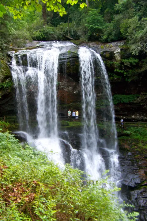 Dry Falls30 mi straight-lineOpen75FT
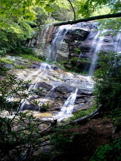 Glen Falls32 mi straight-lineOpen70FT
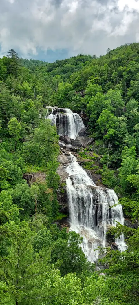 Whitewater Falls33 mi straight-lineOpen411FT
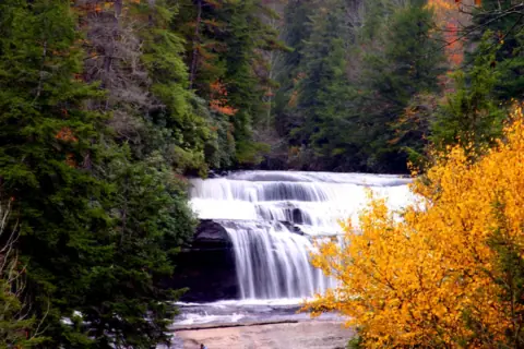 Triple Falls & High Falls37 mi straight-linePartly open125FT
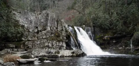 Abrams Falls41 mi straight-lineOpen25FT
All waterfalls in North Carolina
City guides: Waterfalls near Asheville, NC · Waterfalls near Brevard, NC · Waterfalls near Cherokee, NC
On these lists: Easy waterfall hikes · Free waterfalls · Roadside waterfalls
Sources
- Visit Cherokee (EBCI): Waterfalls in Cherokee
- Cherokee One Feather: Ribbon-cutting held for Soco Falls Trailhead improvements (July 23, 2025)
- NC Waterfalls: Soco Falls
- Blue Ridge Mountain Life: Soco Falls (updated Jul 23, 2025)
- Discover Jackson NC: Soco Falls
Last verified Oct 28, 2026 by The Waterfall Guide editorial team. Conditions change: confirm with Eastern Band of Cherokee Indians (EBCI) before you go. Spotted something out of date? Report a correction.