Right now
Right now as of Oct 28, 2026
- Permit No permit needed. Entry fee: $5 parking tag.
Status note (Oct 28, 2026): Open. The 2026 footlog bridge and stair work closed the trail Monday through Thursday from August 24 to September 30. The park's closures page, updated October 27, 2026, lists no Abrams Falls closure. What the status labels mean
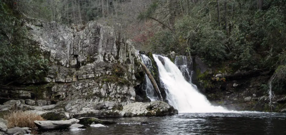
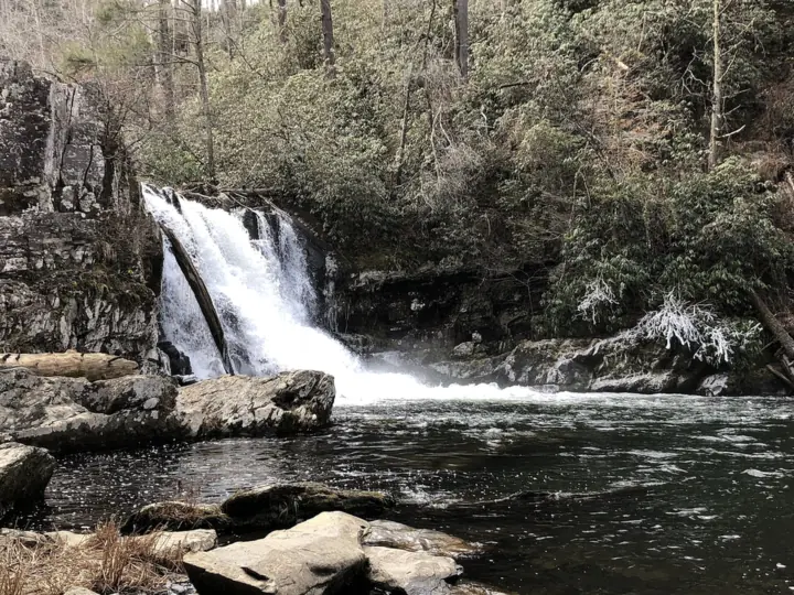
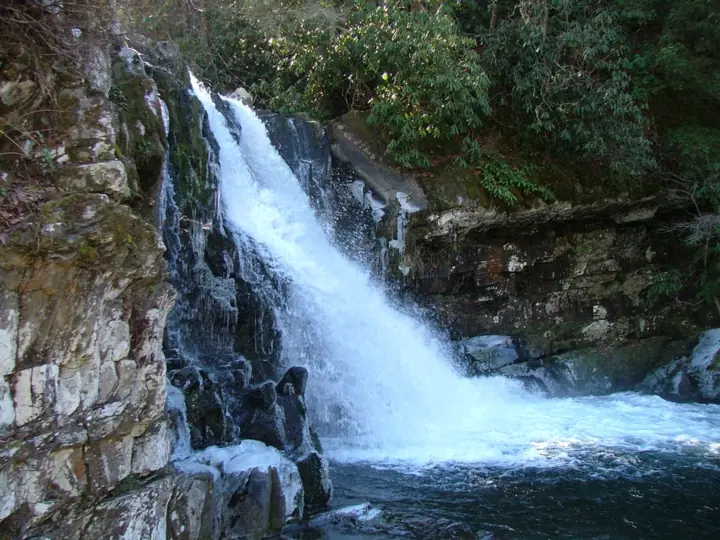
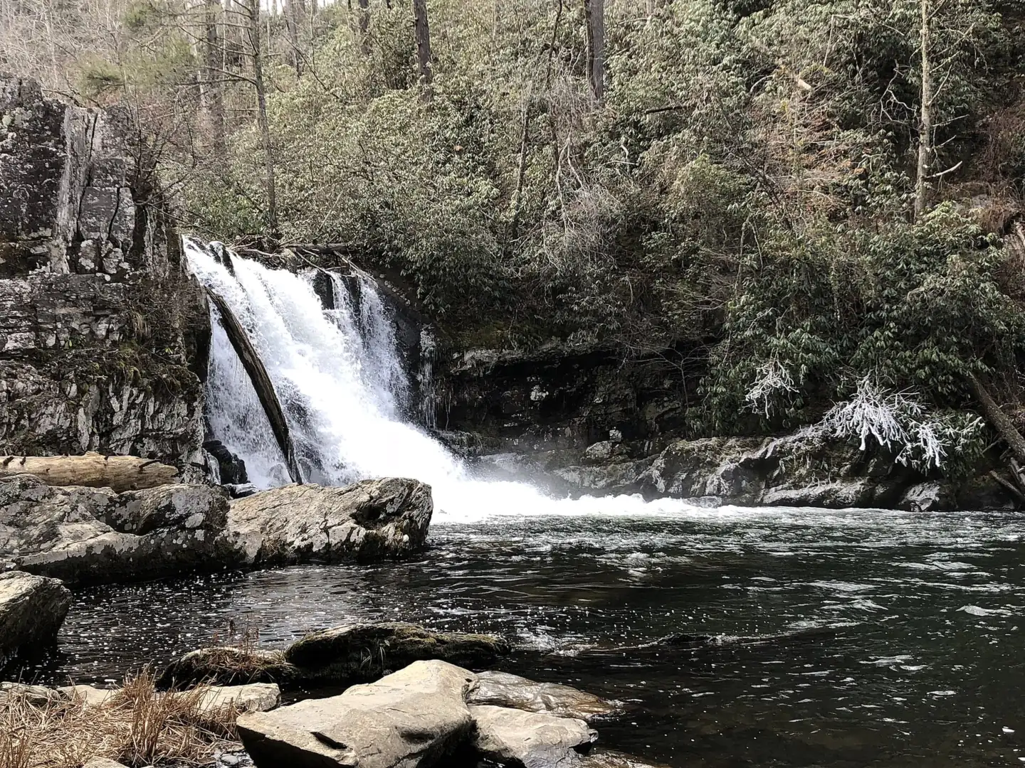
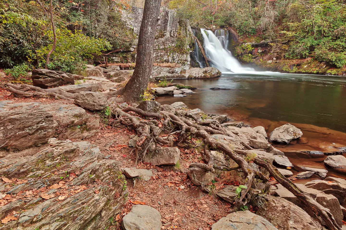
Abrams Falls is a 25-foot waterfall on Abrams Creek in Great Smoky Mountains National Park, at the end of a 5-mile round-trip hike from Cades Cove. There is no entrance fee, but parking for more than 15 minutes needs a Smokies parking tag.
The Park Service strongly discourages swimming in the deep pool because of an undertow. The trail is open; the 2026 bridge-work closures ran through September 30.
About Abrams Falls
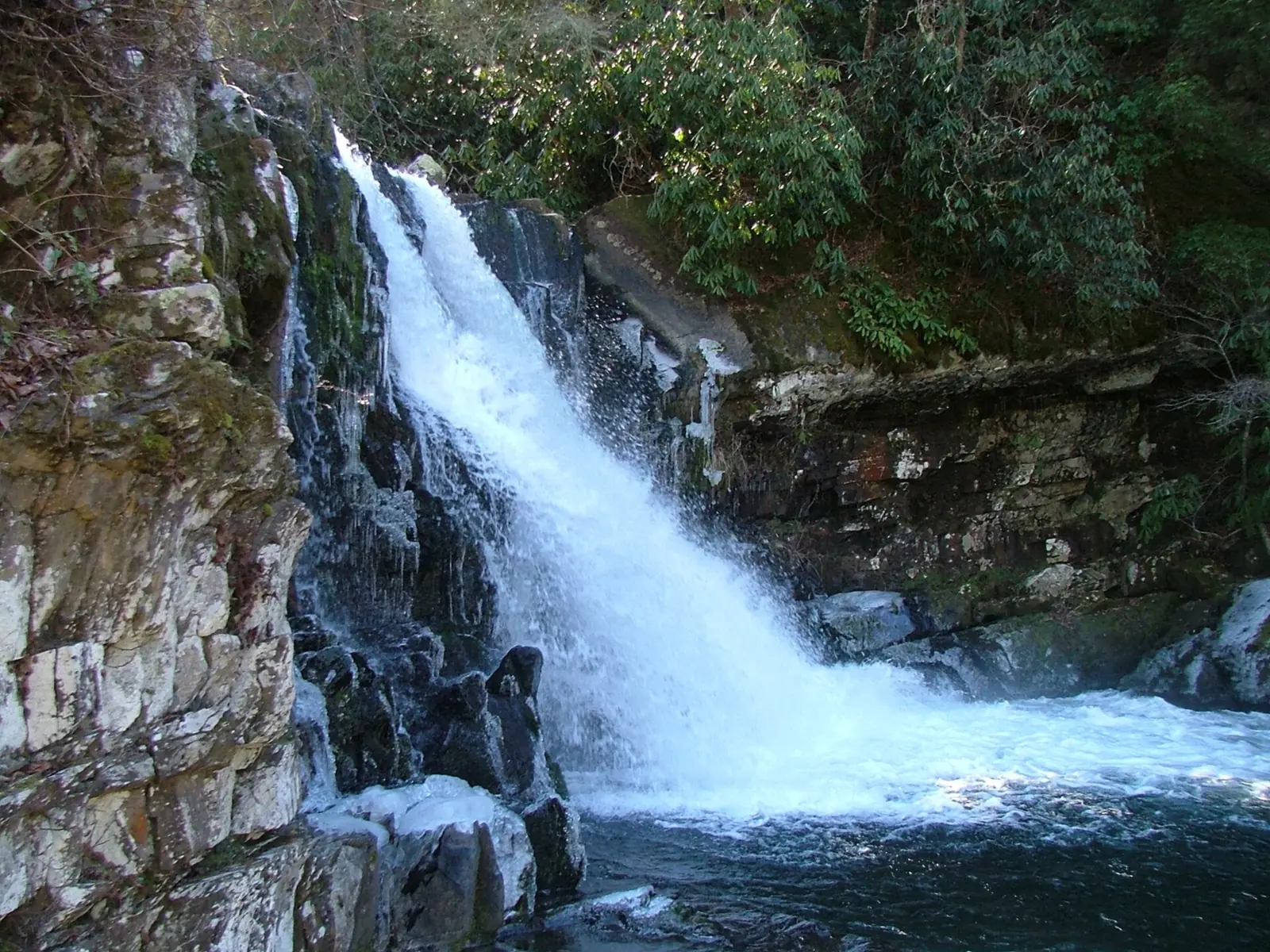
Abrams Creek drops about 25 feet over a sandstone ledge into a deep pool, according to the National Park Service. The hike starts in Cades Cove, and the Park Service lists Abrams Falls among its highly trafficked waterfall trails with limited parking.
The creek is named for Old Abraham, or Abram, a Chilhowee Cherokee chief, according to Wikipedia. The Park Service notes that Abrams Creek supports three rare, threatened or endangered fish species, and that otters have been reintroduced to the area.
In 2026 the Park Service replaced four aging footlog bridges and their handrails and built new stairs at a steep, slick rock section near the falls. Friends of the Smokies funded the project, which closed the trail Monday through Thursday from August 24 to September 30.
Getting there and parking
The Abrams Falls Trailhead is at the end of Abrams Falls Road, off the one-way Cades Cove Loop Road, the Park Service says. Parking longer than 15 minutes needs a Smokies parking tag.
Finding the trailhead on the Cades Cove Loop
Park at the Abrams Falls Trailhead at the end of Abrams Falls Road, between loop road signposts 10 and 11, according to the Park Service. The trailhead is about halfway around the Cades Cove Loop Road, an 11-mile, one-way road open from sunrise to sunset.
Give yourself plenty of time. The Park Service's Cades Cove page suggests allowing 2 to 4 hours for the loop. Its Abrams Falls page says up to 3 to 4 hours just to drive it. Traffic is heavy in summer, in fall and on weekends year-round.
The trailhead has a pit toilet that the Park Service says is open year-round.
Smokies parking tag
There is no entrance fee. Any vehicle parked longer than 15 minutes needs a Park It Forward tag: $5 a day, $15 a week or $40 a year. Interagency passes, such as Senior or Access passes, are not accepted in place of a tag.
You can buy daily and weekly tags at the fee machine at the Cades Cove entrance. The Park Service says its machines take cards only and run 24/7. Tags are also sold online at Recreation.gov, where you print your own.
Drivers who only pass through don't need a tag, and neither do vehicles with a disability plate or placard.
From Townsend and Gatlinburg
An older Park Service visitor page (2015) puts Cades Cove about 9 miles from Townsend and about 27 miles from Gatlinburg. Add the loop drive to the trailhead on top of that, since the loop runs one way and moves slowly.
Map and nearby falls
Map loads as you scroll. Open in OpenStreetMap
OpenPartly open / seasonalUnconfirmedClosedLarger map
Abrams Falls Trail from Cades Cove
The Park Service lists the Abrams Falls Trail as 5 miles round trip. The path is natural surface with occasional roots and rocks, and it includes footlog bridges.
Difficulty. The Park Service publishes no difficulty rating or elevation gain for this trail. Its only note is that the trail has occasional obstacles of roots and rocks. Third-party hiking guides generally call it moderate.
2026 trail work. The Park Service closed the trail Monday through Thursday from August 24 to September 30, 2026, to replace four footlog bridges and handrails. Crews also built new stairs at a steep, slick rock section. The trail stayed open Friday through Sunday during the work.
The park's closures page, updated October 27, 2026, lists no Abrams Falls or Cades Cove closure. Check it the morning you go.
For other park waterfalls, see Grotto Falls, reached by a road that closes in winter. Laurel Falls is closed for a trail rebuild until sometime in 2027.
When to visit
Cades Cove is open year-round, and we found no seasonal closure for the loop. Because the road runs from sunrise to sunset, start early enough to drive in, hike 5 miles and drive out before dark.
Vehicle-free Wednesdays
In 2026 the Park Service closed the Cades Cove Loop Road to motor vehicles all day on Wednesdays from May 6 to September 30. Vehicle-free Wednesdays ended on September 30, 2026.
The Park Service's Cades Cove page says the loop is closed to vehicles each Wednesday, typically from May through September. Dates for 2027 were not posted as of October 2026. On those days a parking tag was still needed, and cars were turned away once spots filled.
We could not find an official best season for flow at Abrams Falls. To avoid the heaviest traffic the Park Service describes, consider a weekday outside summer and fall.
| Height | 25 ftNote: drops over a sandstone ledge into a deep pool, per NPS |
|---|---|
| Trail | 5 mi round trip on the Abrams Falls Trail from Cades Cove |
| Entry fee | No entrance fee; Smokies parking tag required ($5 day, $15 week, $40 year) |
| Permit / reservation | No permit; parking tag needed to park over 15 minutes |
| Parking | Trailhead lot off the Cades Cove Loop; limited |
| Hours / season | Cades Cove Loop Road open sunrise to sunset (NPS) |
| Dogs | Not allowed on the trail |
| Swimming | Strongly discouraged by NPS because of an undertow and dangerous conditions |
| Wheelchair / stroller | No; 5-mile natural-surface trail with roots and rocks |
| Walk behind the falls | No |
| Restrooms | Pit toilet at the trailhead, open year-round (NPS) |
| Crowds | High; NPS lists it among highly trafficked waterfall trails with limited parking |
| Managed by | National Park Service, Great Smoky Mountains National Park |
Safety and swimming
The Park Service strongly discourages swimming at Abrams Falls because of an undertow and dangerous conditions.
Why swimming here is dangerous
Stay out of the pool. The Park Service says swimming is strongly discouraged because of an undertow and dangerous conditions. Its hike page warns of slippery rocks and a deadly undertow.
Park-wide, the Park Service says drowning is one of the leading causes of death in the park, and it does not recommend water recreation.
In an October 12, 2026 news release, the Park Service said a missing hiker was found dead near Abrams Falls on October 8. The release did not state a cause.
On the trail
Keep off the rocks around the falls and the ledge above them. Roots and rocks on the trail can trip you, so watch your footing on the way back when you are tired.
Dogs are not allowed on this trail. In the Smokies, pets are allowed only on the Gatlinburg and Oconaluftee River trails, in picnic areas, in campgrounds and on roads.
For general tips, see our waterfall safety page.
Where to stay near Abrams Falls
Compare hotels, cabins and rentals close to the falls around Townsend.
See places to stay nearbyAffiliate link: we may earn a commission at no cost to you. Partners do not see or change our waterfall facts. Disclosure.
Photos


Abrams Falls FAQ
How long is the hike to Abrams Falls?
5 miles round trip from the Abrams Falls trailhead in Cades Cove, per the Park Service. Allow extra time for the one-way Cades Cove Loop drive, which the park says can take several hours.
Is the Abrams Falls hike difficult?
The Park Service doesn't rate it. The 5-mile round trip has occasional roots and rocks, plus a steep, slick rock section where crews built new stairs in 2026. Most third-party guides call it moderate.
Where is the Abrams Falls trailhead?
At the end of Abrams Falls Road, off the one-way Cades Cove Loop Road between signposts 10 and 11 (Park Service). An older NPS page puts Cades Cove about 9 miles from Townsend.
Do I need a parking tag for Abrams Falls?
Yes. Parking longer than 15 minutes anywhere in the park, including Cades Cove, needs a Park It Forward tag: $5 a day, $15 a week or $40 a year. Senior and Access passes don't count.
Can you swim at Abrams Falls?
Not recommended. The Park Service strongly discourages it because of an undertow and dangerous conditions, and its hike page warns of a deadly undertow and slippery rocks.
Is the Abrams Falls Trail open?
Yes. Bridge and stair work closed it Monday through Thursday from August 24 to September 30, 2026. The park's closures page, updated October 27, 2026, lists no Abrams Falls closure.
Can you drive Cades Cove on Wednesdays?
Not on Wednesdays from May 6 to September 30 in 2026, when the loop was closed to cars. The Park Service says the closure typically runs May through September. Outside those dates it's open to vehicles from sunrise to sunset.
Are dogs allowed on the Abrams Falls Trail?
No. In the Smokies, dogs are allowed only on the Gatlinburg and Oconaluftee River trails, plus picnic areas, campgrounds and roads.
Nearby waterfalls
 Laurel Falls17 mi straight-lineClosed80FT
 Grotto Falls25 mi straight-lineOpen25FT
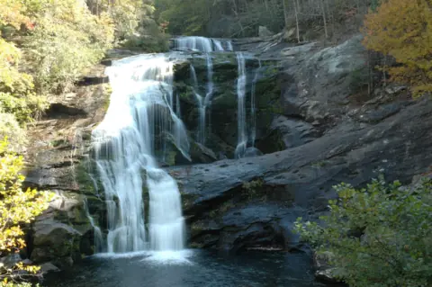 Bald River Falls26 mi straight-lineOpen90FT
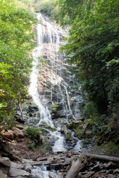 Mingo Falls34 mi straight-lineOpen120FT
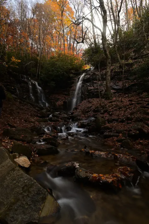 Soco Falls41 mi straight-lineOpen120FT
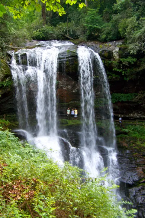 Dry Falls52 mi straight-lineOpen75FT
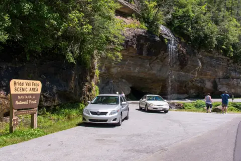 Bridal Veil Falls52 mi straight-lineOpen45FT
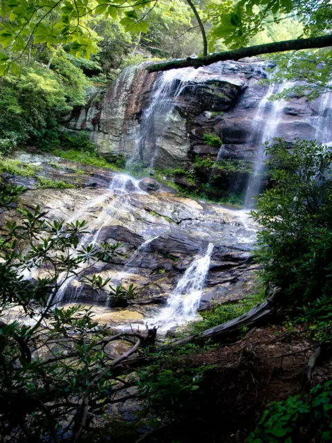 Glen Falls54 mi straight-lineOpen70FT
 High Shoals Falls55 mi straight-lineOpen
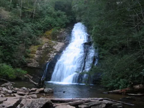 Helton Creek Falls59 mi straight-lineOpen100FT COMBINED, 100+
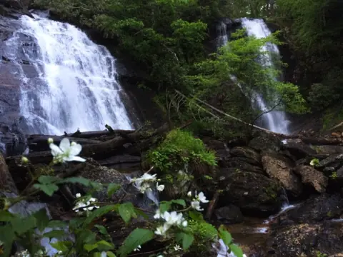 Anna Ruby Falls60 mi straight-lineOpen153FT
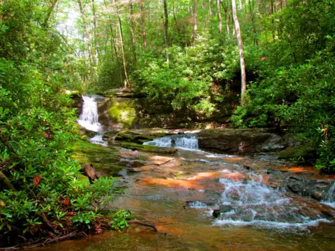 Raven Cliff Falls62 mi straight-lineOpen60FT
City guides: Waterfalls near Blue Ridge, GA · Waterfalls near Cherokee, NC · Waterfalls near Gatlinburg & Pigeon Forge, TN
Sources
- NPS: Abrams Falls
- NPS: Hike to Abrams Falls
- NPS: Construction on Abrams Falls Trail starting August 24 (Aug 20, 2026)
- NPS: Current cautions and closures
- NPS: Cades Cove vehicle-free days
- NPS: Cades Cove
- NPS: Park It Forward parking tags
- NPS: Waterfalls (safety)
- Wikipedia: Abrams Creek (Tennessee)
- NPS: Missing hiker found deceased near Abrams Falls (Oct 12, 2026)
- NPS: Great Smoky Mountains visitor information in Spanish (distances, 2015)
Last verified Oct 28, 2026 by The Waterfall Guide editorial team. Conditions change: confirm with National Park Service, Great Smoky Mountains National Park before you go. Spotted something out of date? Report a correction.