Right now
Right now as of Nov 6, 2026
- Permit None needed.
Status note (Nov 6, 2026): Open, as far as we can tell: on November 6, 2026 the Forest Service alerts page listed no alert for the High Shoals trail or FS Road 283. The Chattooga River Ranger District's road-closure alert (updated April 16, 2026) listed only FSR 153A, Tuckaluge Spur. What the status labels mean
High Shoals Falls is in the High Shoals Scenic Area of Chattahoochee National Forest, near Hiawassee in Towns County, Georgia. Explore Georgia, the state tourism site, lists the High Shoals Trail at 1.2 miles to observation decks at two falls, with free admission and parking. On November 6, 2026, the Forest Service listed no alert for the trail or its access road, FS Road 283.
About High Shoals Falls
Looking for High Shoals Falls in South Mountains State Park, NC? That is a different waterfall in another state. See our High Shoals Falls, North Carolina page.
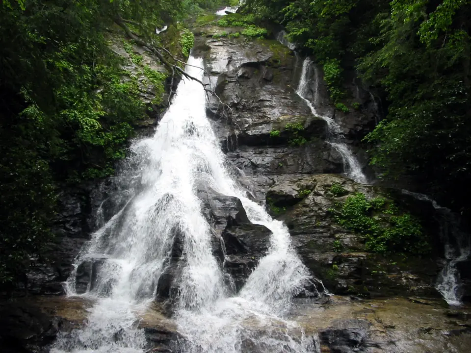
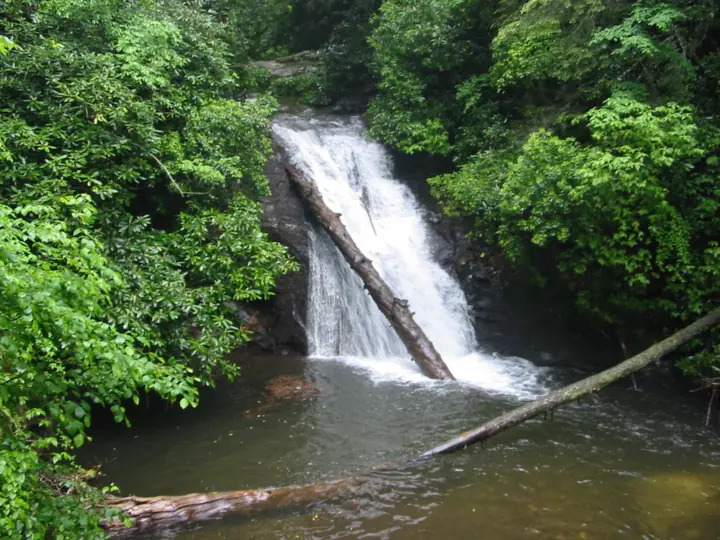
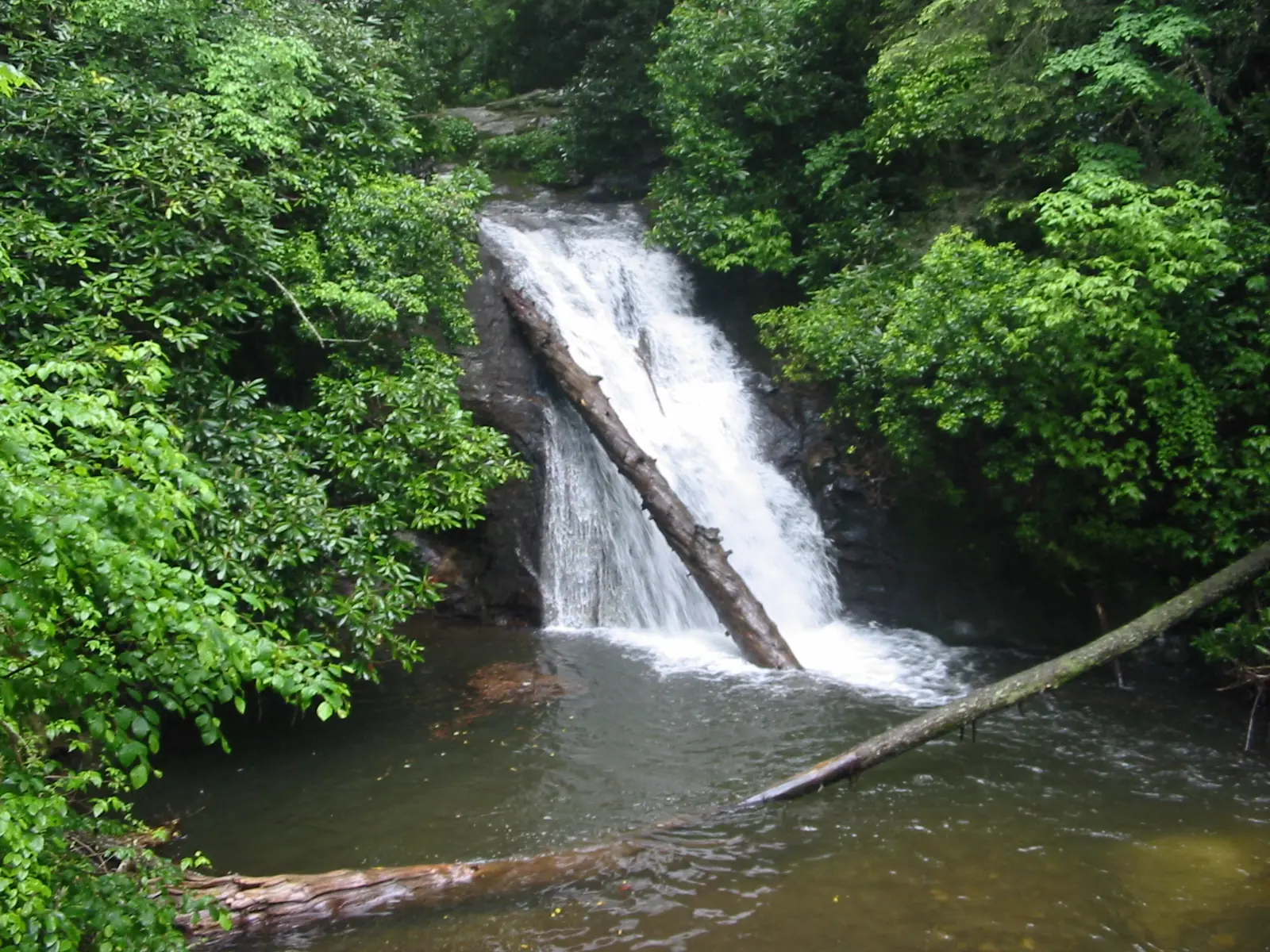
This High Shoals Falls is on High Shoals Creek in north Georgia. Explore Georgia says a succession of five waterfalls graces the 170-acre High Shoals Scenic Area. It puts their estimated total vertical drop at 300 feet.
We found no official height for High Shoals Falls on its own. The 300-foot figure covers all five falls together, so we do not show it as the height of this one.
The scenic area is part of the Chattahoochee-Oconee National Forest, run by the USDA Forest Service. Explore Georgia lists the address as 1333 Indian Grave Gap Rd., Hiawassee, GA 30546.
Other north Georgia falls on this site include Anna Ruby Falls and Raven Cliff Falls, both near Helen, and Helton Creek Falls.
Getting there and parking
The trailhead is on FS Road 283, also called Indian Grave Gap Road. Explore Georgia's directions say to take GA 75 north from Helen, then turn right on FS Rd 283 at the High Shoals sign.
We leave out mileages on purpose. The distances in Explore Georgia's directions and in hiking guides do not agree, and we could not check them against a Forest Service source. Watch for the High Shoals sign instead.
Explore Georgia lists free admission and free parking. We found no Forest Service fee for the area.
Road status
On November 6, 2026, the Chattooga River Ranger District's temporary road-closure alert (updated April 16, 2026) listed one closed road: FSR 153A, Tuckaluge Spur. FS Road 283 was not on the list.
The Chattooga River Ranger District, (706) 754-6221, is the contact listed on the road-closure alert.
The Forest Service also has a February 19, 2026 alert about residual impacts from winter storms. It mentions downed trees and debris on some roads and trails across the forest.
Map and nearby falls
Map loads as you scroll. Open in OpenStreetMap
OpenPartly open / seasonalUnconfirmedClosedLarger map
The High Shoals Trail
Explore Georgia lists the High Shoals Trail at 1.2 miles. It says the trail follows High Shoals Creek to observation decks beside two of the five cascading streams in the scenic area.
Explore Georgia does not say whether 1.2 miles is one way or round trip. The Forest Service page with the trail length was not available to us, so plan with extra time.
Hiking guides give other distances, but they do not match each other, so we leave them out. We also found no official difficulty rating or elevation gain.
View the falls from the observation decks rather than from the rocks. The Forest Service sources we read do not state dog, camping or swimming rules for this trail.
When to visit
Explore Georgia lists the area as open year-round. We found no official statement on the best months for water flow.
Check the Forest Service alerts page before you go. Its general alerts include Flash Flood Awareness (June 18, 2026) and Hazardous trees along trails and roads (July 17, 2025).
An older Forest Service alert titled "High Shoals Creek Falls Trail Reopened" no longer appears in the list. On November 6, 2026, no new High Shoals alert had replaced it.
| Trail | High Shoals Trail, 1.2 mi along High Shoals Creek to observation decks at two falls (Explore Georgia; one way or round trip is not stated) |
|---|---|
| Difficulty | No official difficulty rating found |
| Entry fee | Free admission and free parking (Explore Georgia) |
| Permit / reservation | No permit or fee listed; Explore Georgia lists free admission and parking |
| Parking | Free; off FS Road 283 |
| Hours / season | Open year-round (Explore Georgia) |
| Dogs | No dog rule found in the Forest Service or Explore Georgia sources we read |
| Swimming | No swimming rule found. The Forest Service warns that serious injuries and fatalities occur at Georgia waterfalls each year |
| Wheelchair / stroller | No accessibility information found |
| Restrooms | No restroom information found in the sources we read |
| Best time to visit | No official best month |
| Managed by | USDA Forest Service, Chattahoochee-Oconee National Forest |
Safety and swimming
The Forest Service keeps a "CAUTION Waterfall Dangers" alert on its Chattahoochee-Oconee alerts page, posted July 28, 2025. It warns: "Each year serious injuries and fatalities occur at Georgia waterfalls."
Stay on the trail and the observation decks. Keep off wet rock at the top and base of each falls, and never climb on the falls.
Creeks can rise fast in heavy rain. The Forest Service posted a Flash Flood Awareness alert on June 18, 2026. Move away from the creek if the water rises.
Downed trees are another hazard, especially after storms. The Forest Service's hazardous-trees alert (July 17, 2025) covers trails and roads.
For questions, call the Forest Supervisor's Office at 770-297-3000. The Chattooga River Ranger District, (706) 754-6221, is the contact on the road-closure alert. Our waterfall safety guide has more tips.
Conditions change: confirm with the Forest Service before you go.
Where to stay near High Shoals Falls
Compare hotels, cabins and rentals close to the falls around Hiawassee.
See places to stay nearbyAffiliate link: we may earn a commission at no cost to you. Partners do not see or change our waterfall facts. Disclosure.
Photos


High Shoals Falls FAQ
Is High Shoals Falls in Georgia open?
As far as we can tell, yes. On November 6, 2026, the Forest Service listed no alert for the High Shoals trail or FS Road 283. The Chattooga River Ranger District's road-closure alert listed only FSR 153A.
How long is the High Shoals Trail?
Explore Georgia lists it at 1.2 miles, following High Shoals Creek to observation decks at two falls. It does not say whether that is one way or round trip, and we could not read a Forest Service figure.
How tall is High Shoals Falls?
We found no official height for High Shoals Falls alone. Explore Georgia says the scenic area's five falls have an estimated total vertical drop of 300 feet.
Is there a fee at High Shoals Falls?
No. Explore Georgia lists free admission and free parking.
How do you get to High Shoals Falls?
Explore Georgia says to take GA 75 north from Helen and turn right on FS Road 283 (Indian Grave Gap Road) at the High Shoals sign. Its listed address is 1333 Indian Grave Gap Rd., Hiawassee, GA 30546.
Is this the same High Shoals Falls as in South Mountains State Park?
No. This one is in the Chattahoochee National Forest in Towns County, Georgia. High Shoals Falls in South Mountains State Park is in North Carolina.
Can you swim at High Shoals Falls?
We found no swimming rule for the trail. The Forest Service warns that serious injuries and fatalities occur at Georgia waterfalls every year, so stay on the decks and off wet rock.
Nearby waterfalls
 Anna Ruby Falls5 mi straight-lineOpen153FT
 Raven Cliff Falls9 mi straight-lineOpen60FT
 Helton Creek Falls11 mi straight-lineOpen100FT COMBINED, 100+
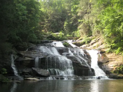 Panther Creek Falls21 mi straight-linePartly open70FT
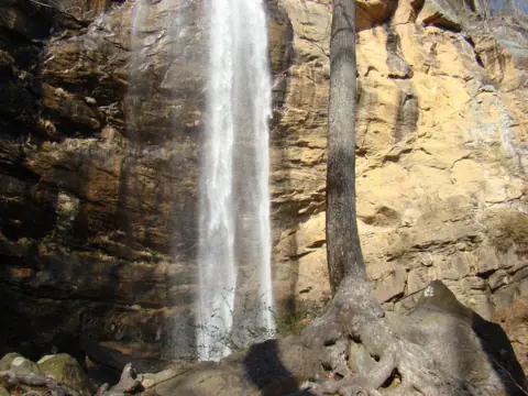 Toccoa Falls26 mi straight-lineOpen186FT
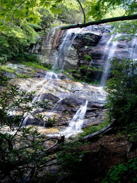 Glen Falls31 mi straight-lineOpen70FT
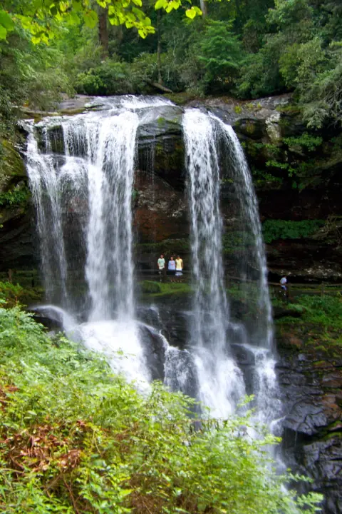 Dry Falls32 mi straight-lineOpen75FT
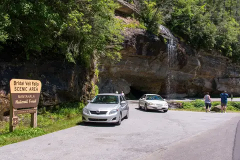 Bridal Veil Falls33 mi straight-lineOpen45FT
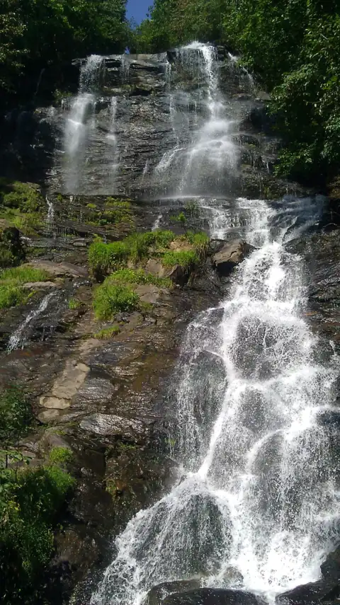 Amicalola Falls35 mi straight-linePartly open729FT
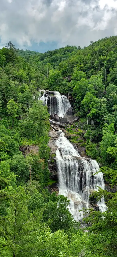 Whitewater Falls43 mi straight-lineOpen411FT
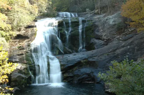 Bald River Falls43 mi straight-lineOpen90FT
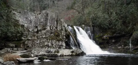 Abrams Falls55 mi straight-lineOpen25FT
City guides: Waterfalls near Atlanta, GA · Waterfalls near Blue Ridge, GA · Waterfalls near Helen, GA
Sources
- USDA Forest Service: Chattahoochee-Oconee National Forest alerts, incl. CAUTION Waterfall Dangers (read Nov 6, 2026)
- USDA Forest Service: Temporary Road Closure Alert, Chattooga River Ranger District (updated Apr 16, 2026; read Nov 6, 2026)
- Explore Georgia: High Shoals Falls (read Nov 4, 2026)
Last verified Nov 6, 2026 by The Waterfall Guide editorial team. Conditions change: confirm with USDA Forest Service, Chattahoochee-Oconee National Forest before you go. Spotted something out of date? Report a correction.