Right now
Right now as of Oct 17, 2026
- Permit No permit needed. Fee: no fee listed.
Status note (Oct 17, 2026): Open. The old road behind the falls is closed to vehicles and open to walkers only. No Hurricane Helene closure was found for this site. What the status labels mean
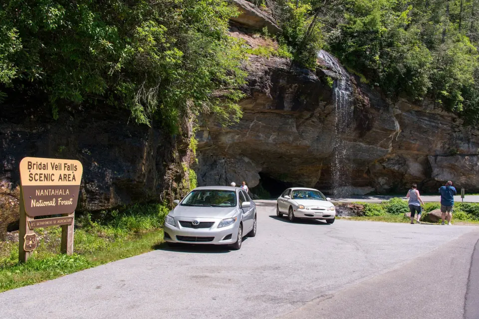
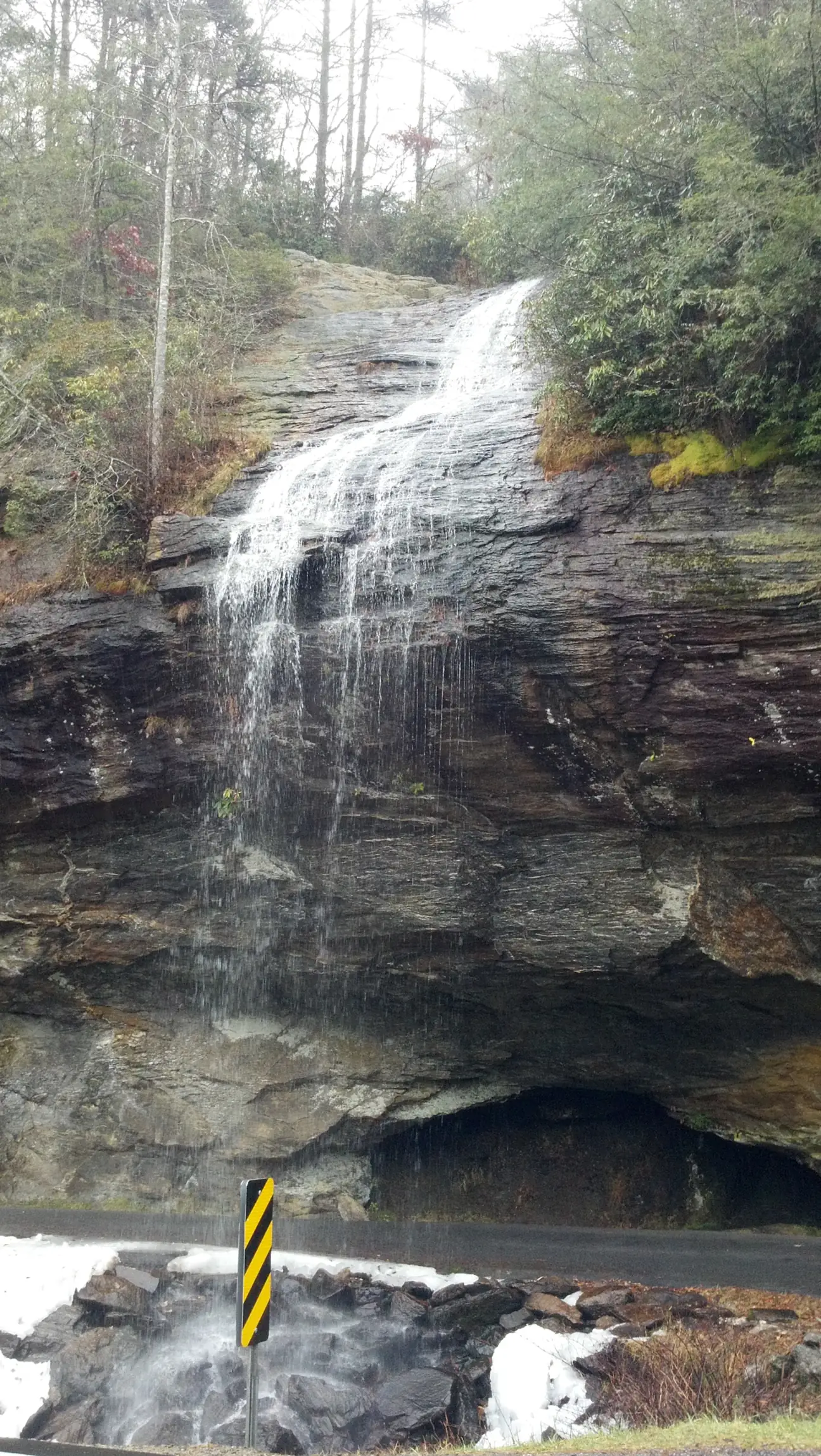
Bridal Veil Falls is a roadside waterfall of about 45 feet on US-64, about 2.3 to 2.5 miles west of Highlands in Nantahala National Forest. You can no longer drive behind it, but you can still walk behind it on the old roadbed. No official source lists a fee, and you park at pull-offs beside the falls.
About Bridal Veil Falls
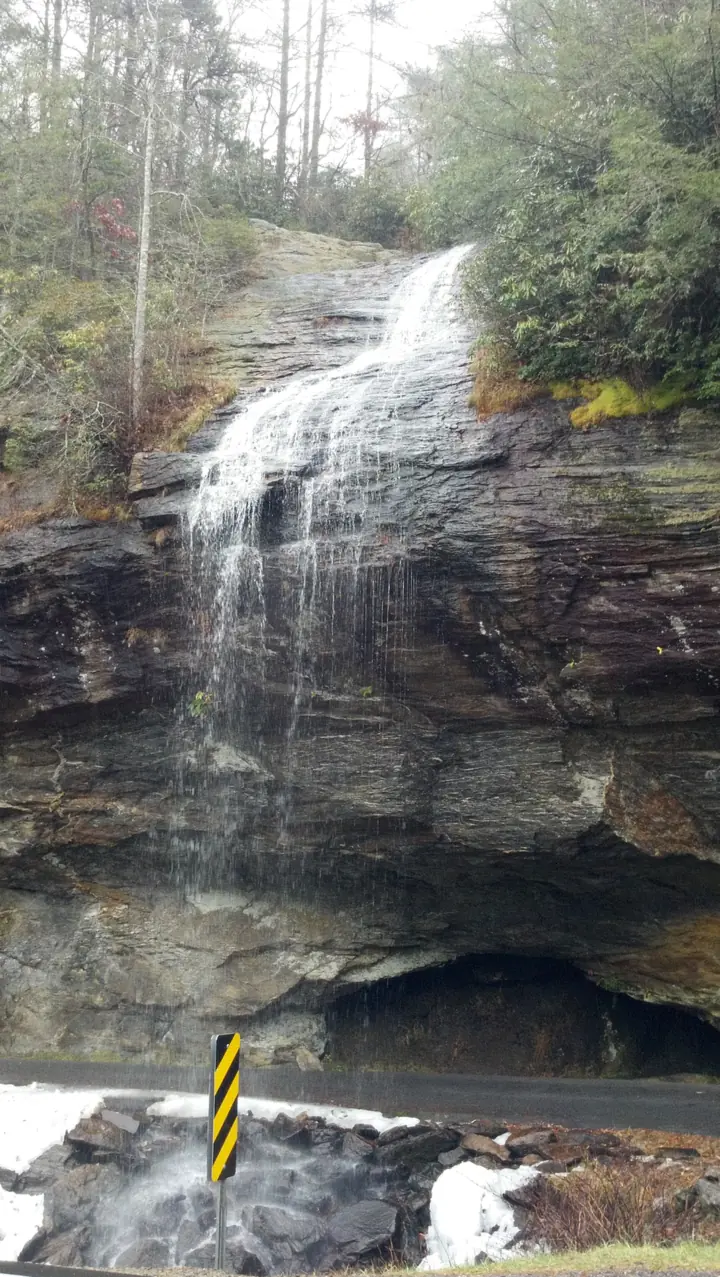
Bridal Veil Falls is on a small tributary of the Cullasaja River. Wikipedia describes it as a slide and plunge, about 45 feet in total, with a longest drop of 40 feet. A Forest Service page on the Cullasaja Gorge gives 120 feet, a figure no other source we checked supports.
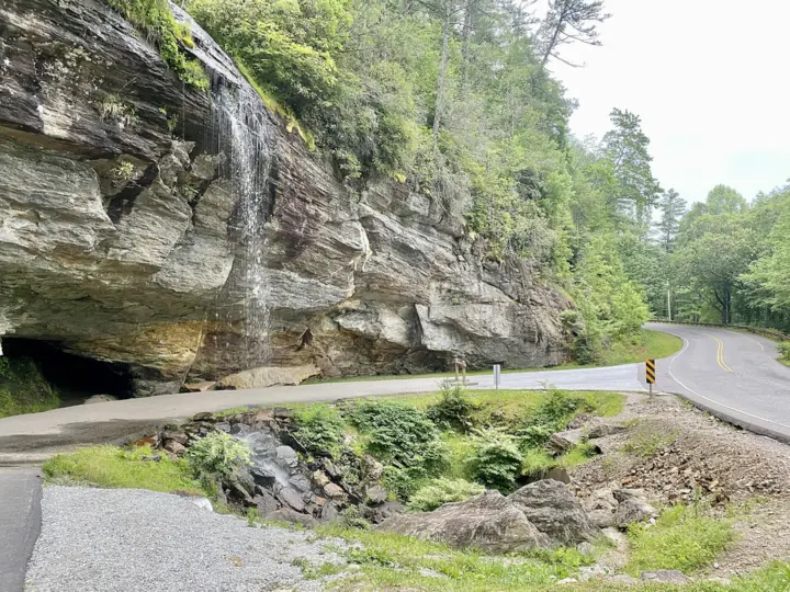
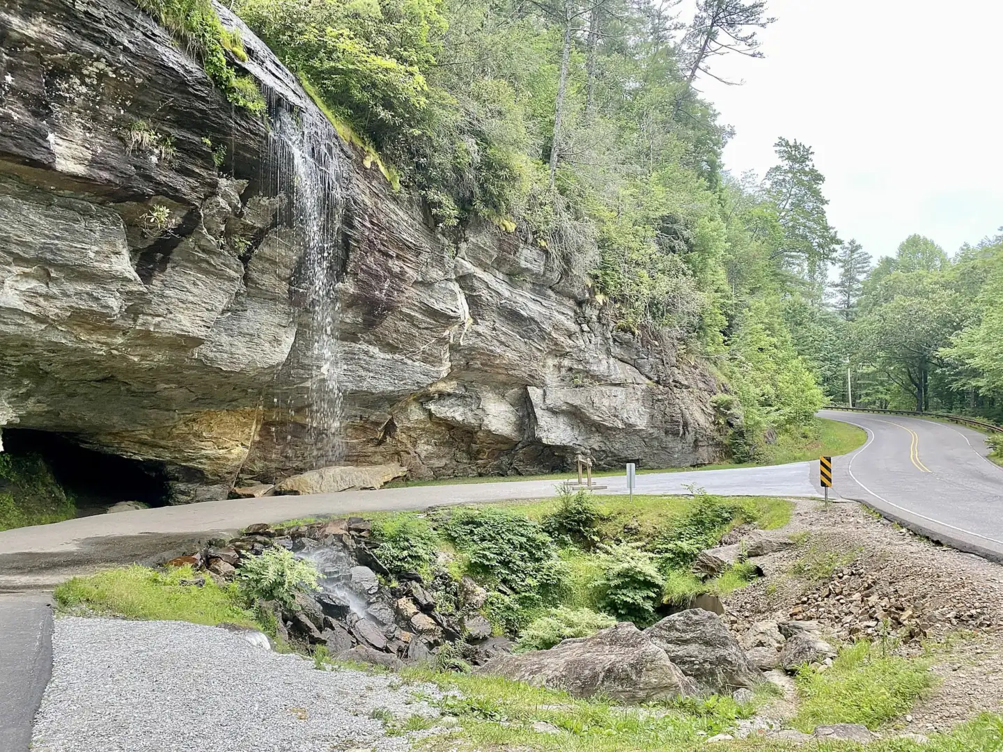
The road gave this falls its claim to fame. Old US-64 once ran behind the water, making it the only waterfall in North Carolina you could drive under, according to Wikipedia. Icing problems led to the highway being rerouted in front of the falls.
In 2003 a large boulder broke off the left side of the falls and blocked that side of the old drive-under loop. It stayed in place until it was removed in July 2007, according to Wikipedia.
Don't confuse this falls with the Bridal Veil Falls in DuPont State Recreational Forest near Brevard. DuPont's Bridal Veil is a separate waterfall, reached by a longer hike, in the same forest as Triple Falls and High Falls. This page covers only the roadside falls on US-64 in Macon County.
Getting there and parking
The falls sit on the stretch of US-64 between Franklin and Highlands that the Forest Service calls the Cullasaja Gorge.
Directions from Highlands and Franklin
From Highlands, drive about 2.3 to 2.5 miles west on US-64 toward Franklin. Wikipedia gives 2.3 miles from Highlands, and WBTV puts it roughly 2.5 miles west of downtown. The falls are right beside the highway, with the old roadbed curving behind them.
From Franklin, follow US-64 east through the Cullasaja Gorge toward Highlands. You pass Dry Falls first, then reach Bridal Veil, the closer of the two to Highlands. We found no official drive time from either town.
Parking
Park at the pull-offs on the old US-64 loop, on either side of the falls. Official sources list no fee for Bridal Veil. The $3 day-use fee at nearby Dry Falls covers that site only, so don't mix the two up.
The Forest Service lists several roadside waterfalls in the gorge besides Bridal Veil, including Dry Falls, Quarry Falls and Cullasaja Falls. All of them are on the same stretch of US-64.
Glen Falls, a hiking falls off NC-106 south of Highlands, makes a second stop.
Map and nearby falls
Map loads as you scroll. Open in OpenStreetMap
OpenPartly open / seasonalUnconfirmedClosedLarger map
The walk behind the falls
There is no real trail here. You view the falls from the pull-offs, then walk a few steps along the old paved roadbed that passes behind the water. The Forest Service mentions a view from the parking area, but no further accessibility details were found.
The old loop behind the falls is now closed to cars and open to people on foot. In its September 2026 coverage, the Charlotte Observer, citing Romantic Asheville, said the pavement behind the falls had been closed to vehicles for safety reasons.
Neither NCDOT nor the Forest Service has published a date for the vehicle ban. The rule today is simple: walk, don't drive.
How wet you get depends on the flow. Wikipedia notes that at low flow you can stay dry behind the falls. At moderate or high flow you will get wet.
When to visit
No closure is listed for Bridal Veil Falls, and we found no posted hours. Wikipedia says the stream can nearly dry up in a drought.
Low water was reported in 2026. On September 19, a Jeep was reported to have gone off an embankment and ended up at the base of the falls, and rescuers freed the driver. The Charlotte Observer reported that the falls were at diminished flow because of the lack of rain.
Nantahala National Forest began reopening Helene-closed areas on October 11, 2024, and our search turned up no Helene closure for Bridal Veil. Since flow drops in dry weather, a visit after rain gives you more water to see.
| Height | 45 ftNote: about 45 ft per Wikipedia, longest drop 40 ft; a Forest Service page says 120 ft |
|---|---|
| Trail | Roadside; a few steps along the old US-64 roadbed take you behind the falls |
| Difficulty | Easy |
| Entry fee | No fee listed in official sources |
| Permit / reservation | None needed |
| Parking | Roadside pull-offs on the old US-64 loop |
| Swimming | Not a swimming spot; there is no pool, and the falls are beside US-64 |
| Wheelchair / stroller | The Forest Service mentions a view from the parking area; no other access details found |
| Walk behind the falls | Yes |
| Managed by | U.S. Forest Service, Nantahala Ranger District |
Safety and swimming
The Forest Service warns that the path behind the falls can be wet or icy and very slippery. Wear shoes with good grip, and slow down whenever the path looks wet or frosty.
Bridal Veil is not a swimming spot. Sources list no swimming area, there is no real pool, and the water lands beside the old roadbed next to US-64. Do not climb on the rock face or the ledges beside the water.
Remember that you are beside a highway. Stay on the old loop, keep children away from US-64 itself, and pull fully off the road when you park.
For general tips, see our waterfall safety page.
Where to stay near Bridal Veil Falls
Compare hotels, cabins and rentals close to the falls around Highlands.
See places to stay nearbyAffiliate link: we may earn a commission at no cost to you. Partners do not see or change our waterfall facts. Disclosure.
Photos


Bridal Veil Falls FAQ
Can you drive or walk behind Bridal Veil Falls?
Walk only. US-64 was rerouted in front of the falls because of icing, and the old roadbed behind it is closed to vehicles for safety. The Forest Service warns the path can be wet or icy and very slippery.
Can you swim at Bridal Veil Falls?
No, it is not a swimming spot. There is no real pool: the water lands beside the old roadbed next to US-64, and no source lists a swimming area.
Where do you park for Bridal Veil Falls?
At the roadside pull-offs on the old US-64 loop, on either side of the falls, about 2.3 to 2.5 miles west of Highlands. No official source lists a parking fee.
Is Bridal Veil Falls near Highlands the same as the one in DuPont Forest?
No. This Bridal Veil Falls is roadside on US-64 in Nantahala National Forest. DuPont State Recreational Forest near Brevard has a separate Bridal Veil Falls that takes a longer hike to reach.
Is Bridal Veil Falls in NC open?
No closure is listed, and there are no posted hours. Neither the Forest Service nor NCDOT has posted a 2026 closure. After Hurricane Helene, Nantahala National Forest began reopening areas on October 11, 2024.
How tall is Bridal Veil Falls in Highlands?
About 45 feet, according to Wikipedia, with a longest single drop of 40 feet. A Forest Service page lists 120 feet, so you will see different figures in different guides.
Nearby waterfalls
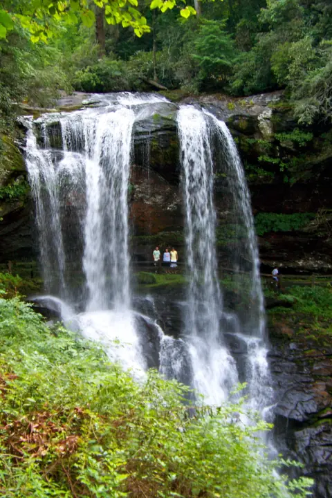 Dry Falls1 mi straight-lineOpen75FT
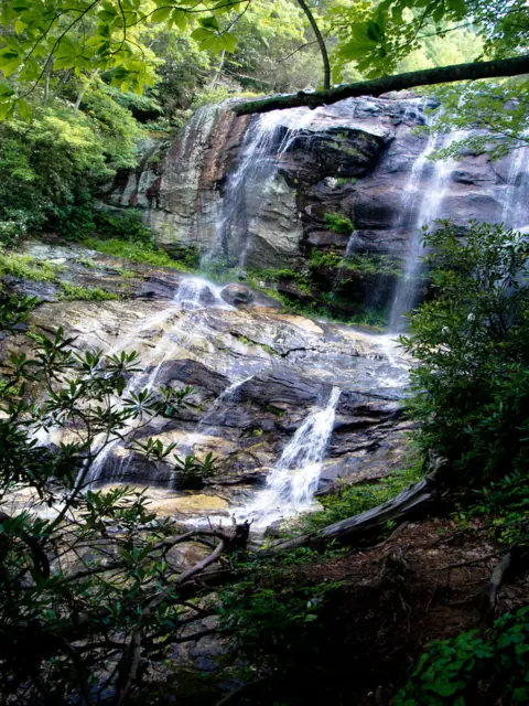 Glen Falls3 mi straight-lineOpen70FT
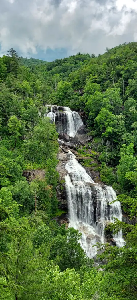 Whitewater Falls13 mi straight-lineOpen411FT
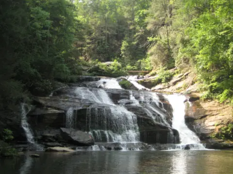 Panther Creek Falls29 mi straight-linePartly open70FT
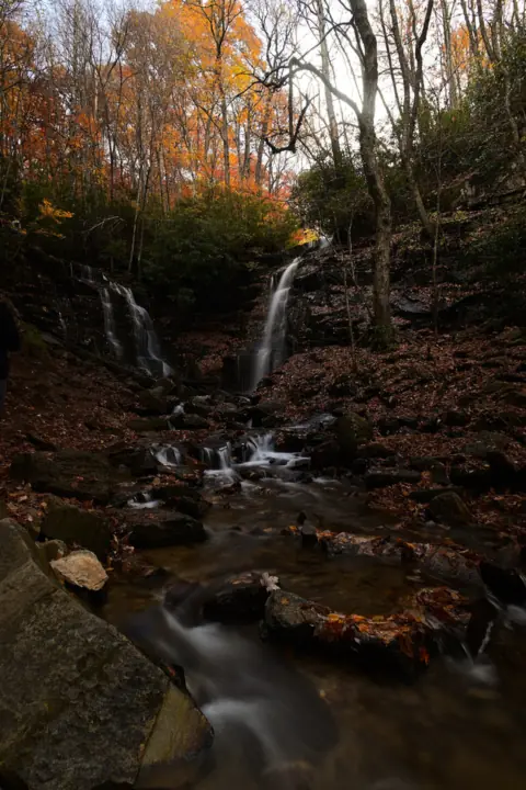 Soco Falls29 mi straight-lineOpen120FT
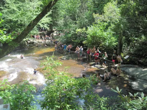 Sliding Rock30 mi straight-lineOpen60FT
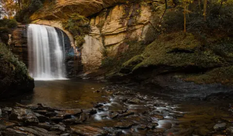 Looking Glass Falls30 mi straight-lineOpen60FT
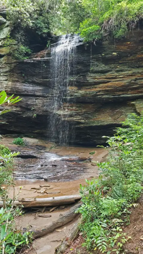 Moore Cove Falls30 mi straight-lineOpen50FT
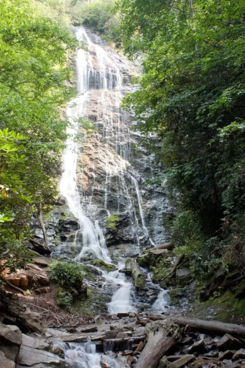 Mingo Falls32 mi straight-lineOpen120FT
 High Shoals Falls33 mi straight-lineOpen
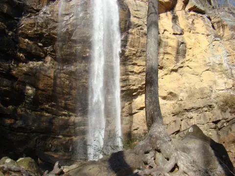 Toccoa Falls34 mi straight-lineOpen186FT
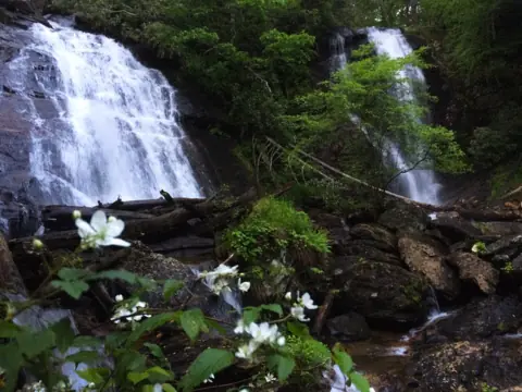 Anna Ruby Falls35 mi straight-lineOpen153FT
All waterfalls in North Carolina
City guides: Waterfalls near Blue Ridge, GA · Waterfalls near Brevard, NC · Waterfalls near Cherokee, NC
On these lists: Roadside waterfalls · Waterfalls you can walk behind
Sources
Some facts credited to the Forest Service come from search-result excerpts of its official pages. Confirm fees and rules on the official site.
- USDA Forest Service: Cullasaja Gorge
- Wikipedia: Bridal Veil Falls (Macon County)
- WBTV: Person pulled to safety after Jeep crashes down NC waterfall (Sept 2026)
- Fire Engineering (Charlotte Observer reprint): Bridal Veil Falls Jeep rescue, roadbed closed to vehicles (Sept 2026)
- Audubon North Carolina: Post-Helene updates (Nantahala reopening Oct 11, 2024)
Last verified Oct 17, 2026 by The Waterfall Guide editorial team. Conditions change: confirm with U.S. Forest Service, Nantahala Ranger District before you go. Spotted something out of date? Report a correction.