Right now
Right now as of Nov 4, 2026
- Status Closed to hiking: on Nov 3, 2026 the NPS Blue Ridge Parkway road status page said "Hiking is PROHIBITED at Crabtree Falls due to Helene related damage." The picnic area is open and the campground is closed.
Status note (Nov 4, 2026): Closed to hiking: on Nov 3, 2026 the NPS Blue Ridge Parkway road status page said "Hiking is PROHIBITED at Crabtree Falls due to Helene related damage." The picnic area is open and the campground is closed. What the status labels mean
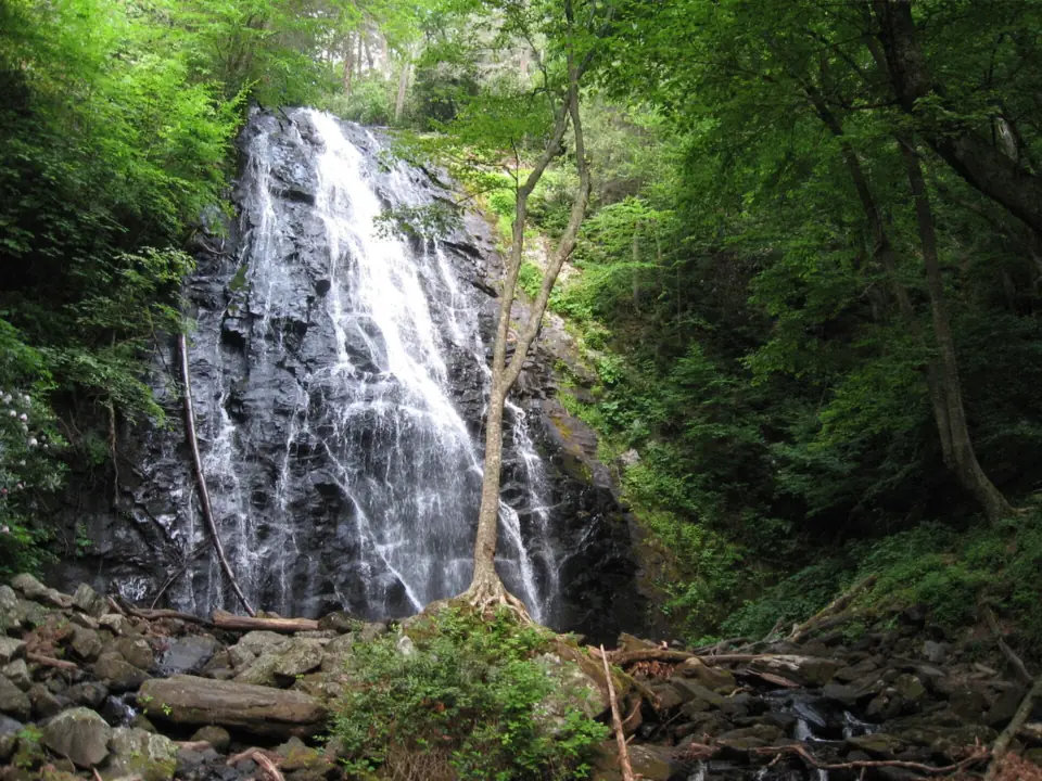
Crabtree Falls is a 60-foot waterfall on the Blue Ridge Parkway between Mileposts 339 and 341, near Little Switzerland, NC. Per the National Park Service road status page of Nov 3, 2026, hiking is prohibited at Crabtree Falls because of Helene damage. The Crabtree Falls Picnic Area is open, and the campground is closed. This is not Crabtree Falls in Virginia, which is a different waterfall.
About Crabtree Falls
This page covers Crabtree Falls on the Blue Ridge Parkway in North Carolina, run by the National Park Service. Crabtree Falls in Virginia is a different waterfall in Nelson County, in the George Washington National Forest.
What is closed and what you can do instead
The NPS road status page, as of 7 a.m. on Nov 3, 2026, lists the Parkway from Milepost 333.9 to 342.1 as open. Its note reads: "Crabtree Falls Campground closed. Crabtree Falls Picnic Area open. Hiking is PROHIBITED at Crabtree Falls due to Helene related damage."
The next section south, Milepost 344.2 to 355.3 from NC 80 to Mount Mitchell State Park, is closed. NPS says recreation of any kind is prohibited in that section.
The NPS Crabtree Falls Trail page, last updated Nov 1, 2024, still describes the hike as normal. The road status page is newer, so follow it. NPS has not announced a reopening date for the trail.
You can still stop at the picnic area. The Blue Ridge Parkway Association puts the picnic area with restrooms at Milepost 340.2 and says it is open seasonally.
For a falls you can visit now, Linville Falls is farther north on the Parkway at Milepost 316, with some areas still closed. Catawba Falls near Old Fort and Elk River Falls near Elk Park have their own pages with current status.
About the falls
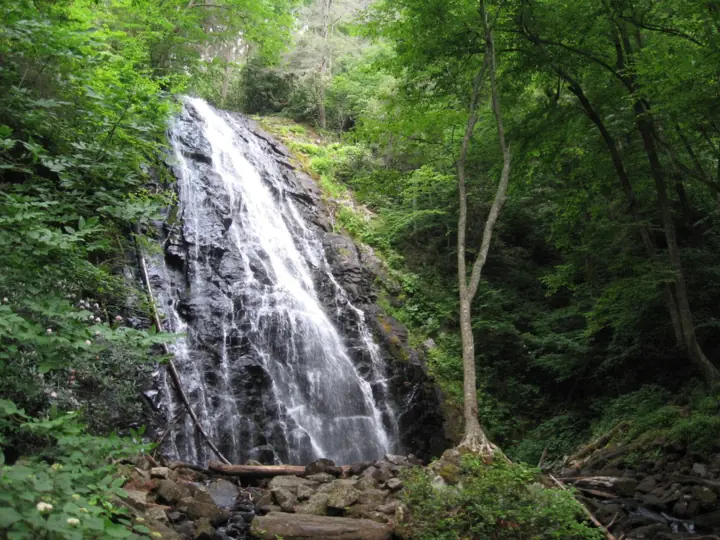
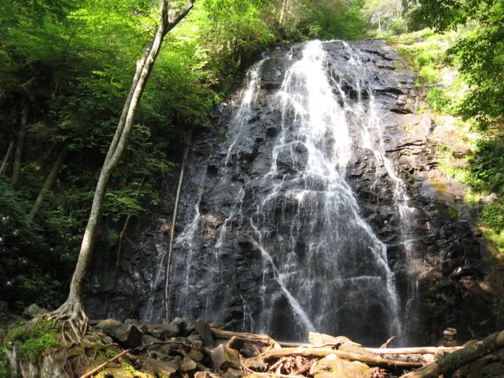
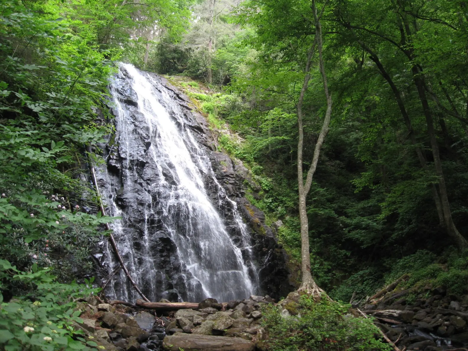
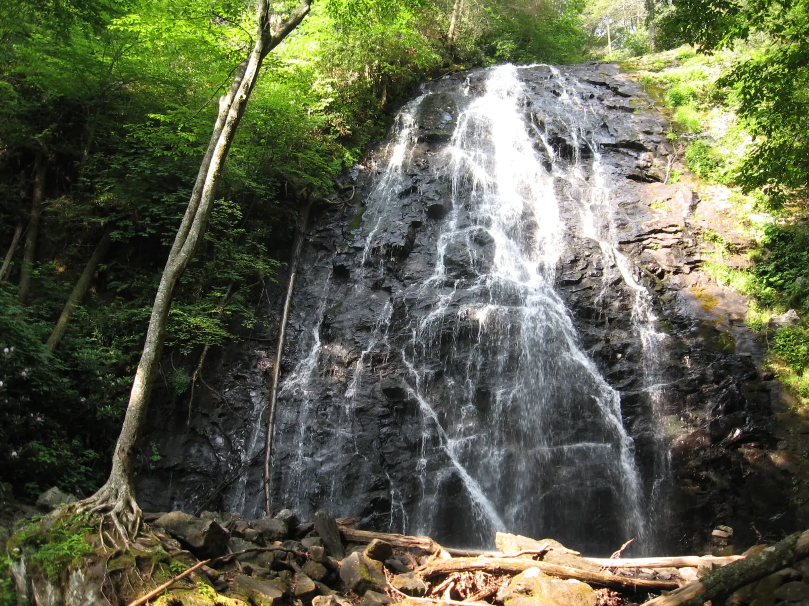
NPS says the water cascades over a 60-foot rock cliff and calls it the tallest single waterfall along the Blue Ridge Parkway. Wikipedia gives 70 feet. Wikipedia also says the falls were first called Murphy's Falls.
The recreation area was called Crabtree Meadows until 2010, when it was renamed Crabtree Falls, NPS says.
Getting there and parking
Crabtree Falls is between Parkway Mileposts 339 and 341, about 15 miles north of Mount Mitchell State Park, per NPS. Wikipedia says it is near the boundary of McDowell and Yancey counties, close to Little Switzerland.
For GPS, the Blue Ridge Parkway Association gives 39000 Blue Ridge Parkway, Marion, NC 28752. It warns that the falls are NOT on Crabtree Road. It lists Parkway exits at Mileposts 334 and 344.
Parts of the Parkway nearby are still closed after Helene, and sections also close for winter weather. Check the NPS road status page before you drive.
Fees and parking
No fee is charged to drive the Blue Ridge Parkway, NPS says. Camping costs extra, but the Crabtree Falls Campground is closed.
When the trail is open, it begins in the parking area for the old Crabtree Falls Camp Store, per NPS. NPS lists auto parking, picnic tables, seasonal restrooms, drinking water and a trailhead at the site.
The map pin uses Wikipedia's coordinates for the falls and is approximate.
Map and nearby falls
Map loads as you scroll. Open in OpenStreetMap
OpenPartly open / seasonalUnconfirmedClosedLarger map
Crabtree Falls Loop Trail (hiking prohibited)
Hiking is prohibited at Crabtree Falls for now. These details describe the trail as NPS publishes it, for when it reopens.
NPS describes a 3-mile loop that is moderately strenuous, with a steep incline and rocky terrain. It says to allow 1.5 to 2.5 hours for the whole hike.
From the parking area, it is 0.3 mile to the trail start behind the campground kiosk, per NPS. The trail then descends 0.9 mile to the falls. You return the way you came or continue on a longer climb back to the lot.
Other trail figures
Other sources give different lengths. The Blue Ridge Parkway Association lists 1.8 miles round trip to the falls and back, or 2.5 to 3 miles for the whole loop. Wikipedia says the loop is just under 2.5 miles.
NPS publishes no elevation gain or accessibility details for the trail.
When to visit
As of the NPS road status update of Nov 3, 2026, you can't hike to Crabtree Falls. The campground is closed and the picnic area is open.
When will Crabtree Falls reopen?
NPS has not announced a date for the trail. Its road status page is the place to watch, since the trail page has not been updated since 2024.
Seasons
NPS calls the falls "a scenic feature that interests hikers during every season." The Blue Ridge Parkway Association notes crabapple blossoms each May, along with spring wildflowers.
Winter weather can close Parkway sections, NPS says, so the drive in may not be open on a cold day. NPS gives no flow statement for the falls.
| Height | 60 ftNote: per NPS, which calls it the tallest single waterfall along the Blue Ridge Parkway; Wikipedia gives 70 ft |
|---|---|
| Trail | 3-mile loop, moderately strenuous, steep incline and rocky terrain; allow 1.5 to 2.5 hours (NPS). Hiking is prohibited after Helene |
| Difficulty | Moderately strenuous, with a steep incline and rocky terrain (NPS); hiking is currently prohibited |
| Entry fee | No fee is charged to travel the Blue Ridge Parkway (NPS). Camping costs extra, but the Crabtree Falls Campground is closed |
| Permit / reservation | No permit or fee; hiking at Crabtree Falls is currently prohibited |
| Parking | Old camp store lot, Parkway MP 339 to 341 |
| Hours / season | No fixed hours found; Parkway sections can close for weather (NPS). Hiking at the falls is prohibited |
| Dogs | No pet rule is listed on the NPS Crabtree Falls pages; confirm with NPS before you bring a dog |
| Swimming | No NPS swimming rule found. NPS says the wet rocks are slippery and asks visitors not to climb on them |
| Wheelchair / stroller | No accessibility details from NPS for the trail |
| Walk behind the falls | No |
| Restrooms | Picnic area with restrooms at MP 340.2, open seasonally (Blue Ridge Parkway Association); NPS lists seasonal restrooms and drinking water |
| Best time to visit | No official best month; the Blue Ridge Parkway Association notes crabapple blossoms each May |
| Managed by | National Park Service, Blue Ridge Parkway |
Safety and swimming
Do not hike at Crabtree Falls while NPS prohibits it. The ban is due to damage from Hurricane Helene, and the section just south is closed to recreation of any kind.
When the trail reopens, NPS warns that the wet rocks are slippery and asks visitors not to climb on them. NPS gives no swimming rule for the falls.
The trail has a steep incline and rocky terrain, per NPS, and the return is a climb. Allow 1.5 to 2.5 hours for the loop.
The NPS Crabtree Falls pages list no pet rule, so confirm with NPS before you bring a dog. See our waterfall safety guide for more on slick rock near falls.
Conditions change: confirm with the official source before you go.
Where to stay near Crabtree Falls
Compare hotels, cabins and rentals close to the falls around Little Switzerland.
See places to stay nearbyAffiliate link: we may earn a commission at no cost to you. Partners do not see or change our waterfall facts. Disclosure.
Photos


Crabtree Falls FAQ
Is Crabtree Falls in North Carolina open?
No. As of Nov 3, 2026, the NPS road status page said "Hiking is PROHIBITED at Crabtree Falls due to Helene related damage." The Parkway section and the picnic area are open, and the campground is closed.
Is this the same as Crabtree Falls in Virginia?
No. This Crabtree Falls is on the Blue Ridge Parkway in North Carolina, run by NPS. Crabtree Falls in Virginia is a different waterfall in Nelson County, in the George Washington National Forest.
How tall is Crabtree Falls NC?
60 feet, according to NPS, which calls it the tallest single waterfall along the Blue Ridge Parkway. Wikipedia gives 70 feet.
How long is the Crabtree Falls hike?
NPS describes a 3-mile loop, moderately strenuous, taking 1.5 to 2.5 hours. The trail descends 0.9 mile to the falls from the trail start. The Blue Ridge Parkway Association gives 1.8 miles round trip if you go to the falls and back.
Is there a fee for Crabtree Falls?
No. NPS says no fee is charged to travel the Blue Ridge Parkway. Camping costs extra, but the Crabtree Falls Campground is closed.
Where do you park for Crabtree Falls NC?
In the parking area for the old Crabtree Falls Camp Store, per NPS. The Blue Ridge Parkway Association gives a GPS address of 39000 Blue Ridge Parkway, Marion, NC 28752, and warns it is not on Crabtree Road.
Can you camp at Crabtree Falls?
Not now. The NPS road status page lists the Crabtree Falls Campground as closed. When open, the Blue Ridge Parkway Association says it has 71 tent sites and 22 RV sites, with about two dozen reservable on Recreation.gov.
Nearby waterfalls
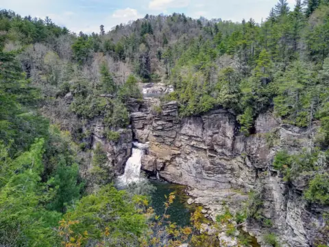 Linville Falls15 mi straight-linePartly open150FT
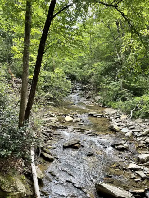 Catawba Falls16 mi straight-lineOpen205FT
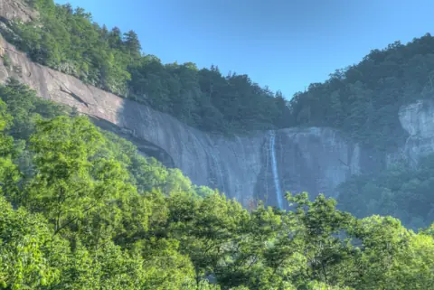 Hickory Nut Falls27 mi straight-lineOpen404FT
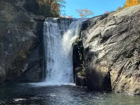 Elk River Falls28 mi straight-lineOpen65FT
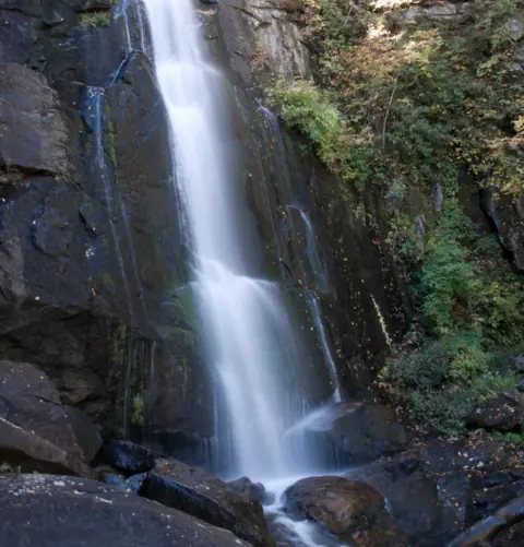 High Shoals Falls33 mi straight-lineClosed80FT
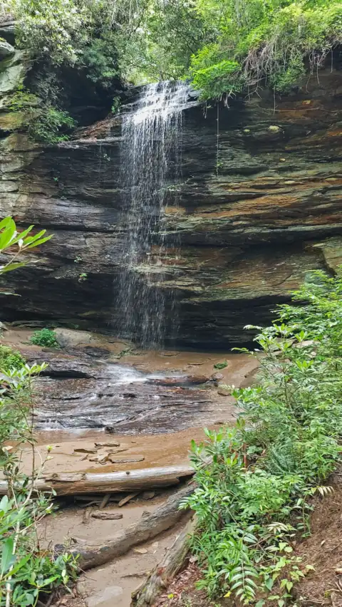 Moore Cove Falls50 mi straight-lineOpen50FT
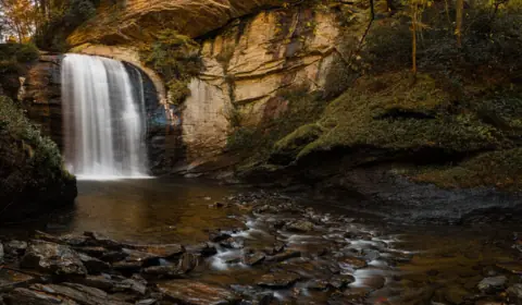 Looking Glass Falls50 mi straight-lineOpen60FT
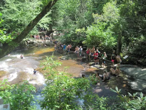 Sliding Rock50 mi straight-lineOpen60FT
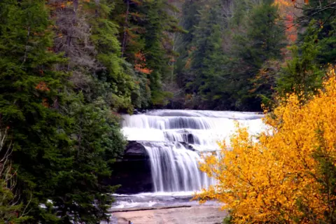 Triple Falls & High Falls50 mi straight-linePartly open125FT
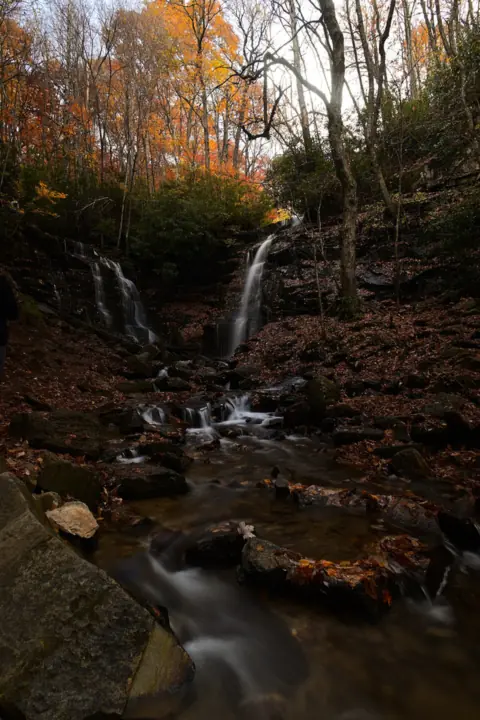 Soco Falls61 mi straight-lineOpen120FT
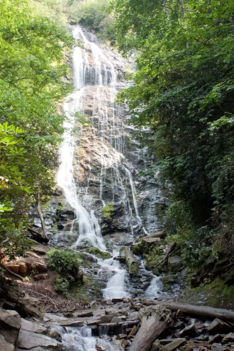 Mingo Falls66 mi straight-lineOpen120FT
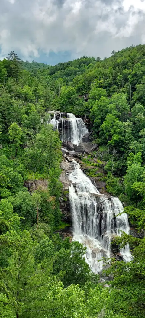 Whitewater Falls73 mi straight-lineOpen411FT
All waterfalls in North Carolina
City guides: Waterfalls near Asheville, NC · Waterfalls near Charlotte, NC
Sources
- NPS Blue Ridge Parkway: Road status and closures (as of Nov 3, 2026; read Nov 4, 2026)
- NPS Blue Ridge Parkway: Crabtree Falls Trail (last updated Nov 1, 2024; read Nov 4, 2026)
- NPS: Crabtree Falls Recreation Area (last updated Nov 1, 2024; read Nov 4, 2026)
- NPS Blue Ridge Parkway: Fees and passes (read Nov 4, 2026)
- Blue Ridge Parkway Association: Crabtree Falls (read Nov 4, 2026)
- Wikipedia: Crabtree Falls (North Carolina) (read Nov 4, 2026)
Last verified Nov 4, 2026 by The Waterfall Guide editorial team. Conditions change: confirm with National Park Service, Blue Ridge Parkway before you go. Spotted something out of date? Report a correction.