Right now
Right now as of Oct 28, 2026
- Status Forest Road 4603 is closed to motor vehicles from about November to May because of snow, per the Forest Service.
- Permit No permit needed. Entry fee: $5 day pass or NW Forest Pass.
Status note (Oct 28, 2026): Forest Road 4603 is closed to motor vehicles from about November to May because of snow, per the Forest Service. On October 28, 2026, the Forest Service day-use page (updated August 14, 2026) showed no closure. Check it for this winter's gate date. In winter the road stays open for skiing, snowshoeing, fatbiking and hiking, adding about 2.5 miles each way. What the status labels mean
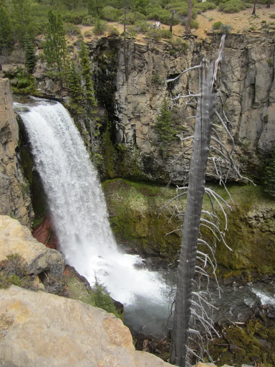
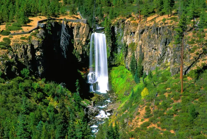
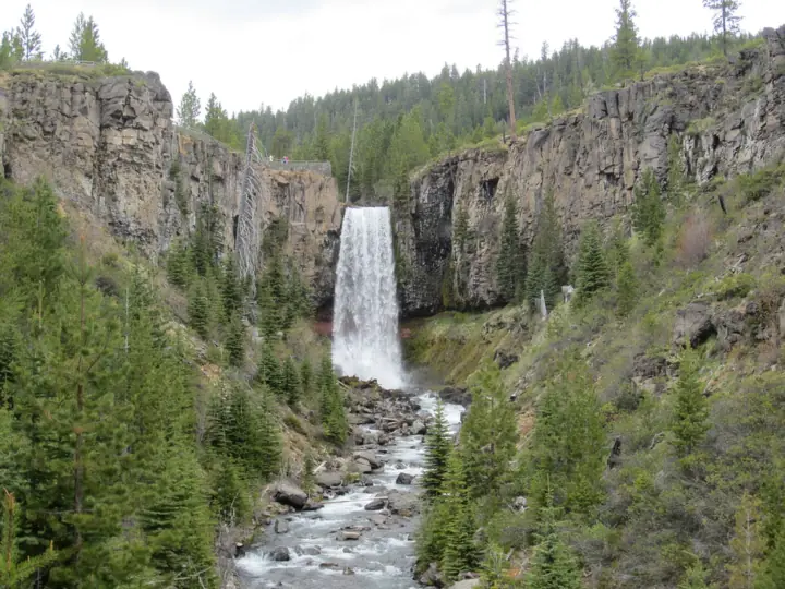
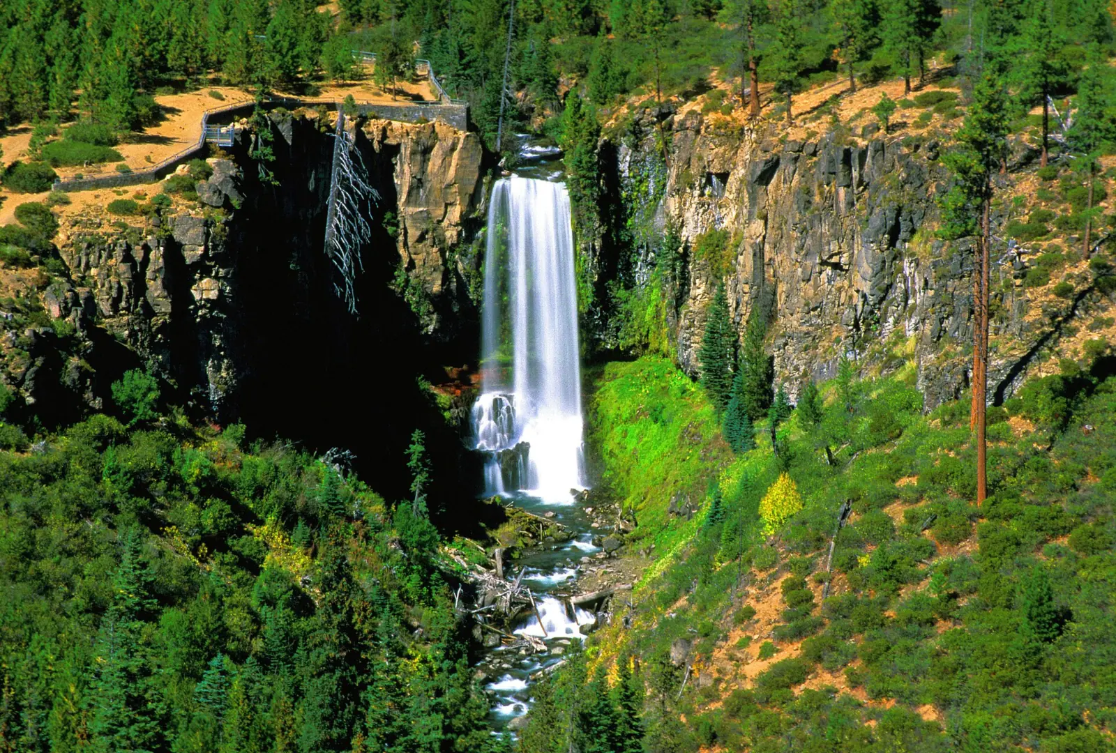
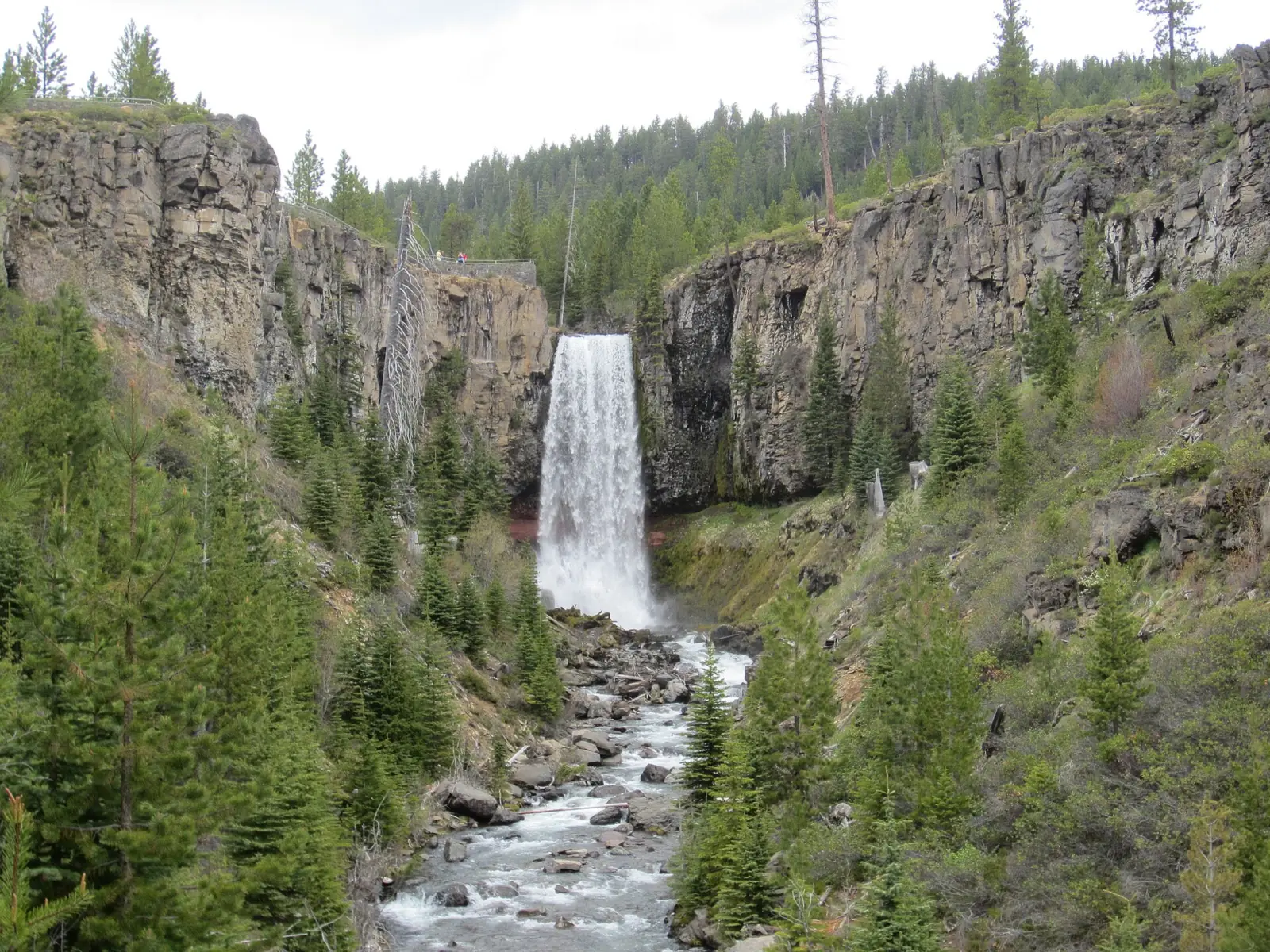
Tumalo Falls is a 97-foot plunge on Tumalo Creek in the Deschutes National Forest, about 14 miles west of Bend by road. When Forest Road 4603 is open to cars, you can see the falls from near the small parking lot. A short trail climbs to a platform above them. The Forest Service closes the road to motor vehicles from about November to May. Parking needs a recreation pass, such as a $5 day pass.
About Tumalo Falls
Tumalo Falls is a 97-foot plunge on Tumalo Creek in the Deschutes National Forest, according to Wikipedia, which puts the falls at about 5,052 feet above sea level.
The Forest Service says the falls are a few minutes from the trailhead. The day-use site has picnic areas and access to hiking and mountain biking trails. The Bridge Creek and Farewell trails start nearby.
More falls sit upstream. The North Fork Trail follows the creek to Double Falls and to Middle Tumalo Falls, a 65-foot two-tier cascade about 1.25 miles above the main falls.
Some national forest land west of Bend lies inside the Bend Municipal Watershed, which protects the city's water supply and has its own strict dog rules (see Safety). Tumalo State Park, on the Deschutes River near Bend, is a separate park. For other Oregon falls outside the gorge, see Silver Falls near Silverton and Toketee Falls on the North Umpqua.
Getting there and parking
Tumalo Falls is about 14.2 miles from Bend by Skyliners Road and Forest Road 4603, and parking needs a recreation pass such as a $5 day pass.
From downtown Bend on Skyliners Road
The Forest Service directions are short: from Bend, drive 11.6 miles west on Skyliners Road (Road 4601), then 2.6 miles west on Forest Road 4603. That's about 14.2 miles to the day-use lot at the end of the road.
The lot is small. The Forest Service says it fills early and often overflows on busy days, so arrive early. Vehicles longer than 27 feet aren't allowed in the lot, so leave trailers and large RVs behind.
Pass and facilities
Parking needs a recreation pass. The Forest Service accepts a Northwest Forest Pass ($30 annual), a $5 day pass or ePass, or an America the Beautiful pass, and passes are sold on site. Check with the Forest Service before a winter visit to see whether a pass is needed.
The day-use area has vault toilets but no drinking water, per the Forest Service. Bring your own water.
Map and nearby falls
Map loads as you scroll. Open in OpenStreetMap
OpenPartly open / seasonalUnconfirmedClosedLarger map
The viewpoint and North Fork Trail
The main falls: you can see Tumalo Falls from near the day-use lot. A trail climbs about 0.25 miles to a viewing platform above the falls, per Wikipedia.
Double Falls and Middle Tumalo Falls
The North Fork Trail continues upstream past Double Falls to Middle Tumalo Falls, about 1.25 miles above the main falls. Cyclists share this trail, so keep to one side and listen for bikes.
We found no official length for a loop from the lot, so we don't list one. Some loop routes use trails inside the Bend Municipal Watershed, where dogs are banned at all times.
Winter approach: when the road is closed to cars, you can still reach the falls on foot, skis, snowshoes or a fatbike. Plan on about 2.5 extra miles each way, using Forest Road 4603 or the Tumalo Creek trail.
When to visit
Timing depends on the road. The Forest Service closes Forest Road 4603 to motor vehicles from about November to May because of snow. The Deschutes National Forest sets the exact gate dates each year. Check its page for the 2026-27 dates before you go.
When the road is open, the Forest Service says the lot fills early, so plan to arrive early and have a backup stop in mind.
Winter: ski, snowshoe and fatbike access
The gate was closed for winter 2025-26 in late November 2025, the Bend Bulletin reported. Hikers and riders could still use the 2.5-mile road or the Tumalo Creek trail. The Forest Service keeps the road open in winter only for skiing, snowshoeing, fatbiking and hiking.
Weather and flow by season
The flow chart on this page uses a USGS gauge on Tumalo Creek near Bend, with records from 1973 to 1986. In those years, flow peaked in June and dropped to its lowest in August.
So late spring and early summer, once the road opens, usually bring the strongest falls. Late summer flow is lower, though the falls still run.
When is the water highest?
At a USGS stream gauge about 10.3 mi from the falls, the flow averages highest in June and lowest in August, based on 14 years of records (1973 to 1986). These are older records from a gauge that no longer reports, so treat them as a rough seasonal guide.
Show the numbers
| Month | Average flow (cfs) |
|---|---|
| January | 75 |
| February | 81 |
| March | 76 |
| April | 75 |
| May | 91 |
| June | 126 |
| July | 63 |
| August | 16 |
| September | 29 |
| October | 61 |
| November | 73 |
| December | 83 |
| Height | 97 ftNote: per Wikipedia |
|---|---|
| Trail | Falls visible near the lot; about 0.25 mi climb to a platform above the falls. North Fork Trail continues to Double Falls and Middle Tumalo Falls (about 1.25 mi above the main falls) |
| Difficulty | Easy viewpoint; add about 2.5 mi each way when the road is closed to cars |
| Entry fee | Recreation pass required to park: Northwest Forest Pass ($30 annual), a $5 day pass or ePass, or an America the Beautiful pass. Passes are sold on site |
| Permit / reservation | No permit; a recreation pass is needed to park |
| Parking | Small lot at end of FR 4603; 27-ft limit |
| Dogs | Leash required in Forest Service day-use areas; banned at all times inside the Bend Municipal Watershed, including the Bridge Creek Trail |
| Walk behind the falls | No |
| Restrooms | Vault toilets at the day-use area; no drinking water (Forest Service) |
| Crowds | High; the Forest Service says the lot fills early and often overflows |
| Managed by | U.S. Forest Service, Deschutes National Forest |
Safety and swimming
We could not find a Forest Service swimming rule for Tumalo Falls. Stay back from the edge at the top viewpoint, and don't climb on rock near the falls.
Dogs: the Forest Service requires dogs to be on a leash in Deschutes day-use areas. Dogs and other domestic animals are banned at all times inside the Bend Municipal Watershed, including the Bridge Creek Trail. The ban protects the city's water supply, so check which trails cross the watershed before you bring a dog.
In winter, the Forest Service keeps the road open only for skiing, snowshoeing, fatbiking and hiking. Carry what you need for cold conditions, and check the forecast. Read our waterfall safety guide for more.
Where to stay near Tumalo Falls
Compare hotels, cabins and rentals close to the falls around Bend.
See places to stay nearbyAffiliate link: we may earn a commission at no cost to you. Partners do not see or change our waterfall facts. Disclosure.
Photos
Tumalo Falls FAQ
Is the road to Tumalo Falls open?
Probably, but check before you drive. On October 28, 2026, the Forest Service day-use page (updated August 14, 2026) showed no closure, but we couldn't read this winter's gate date. The Forest Service closes Forest Road 4603 to cars from about November to May. In winter you can still walk, ski, snowshoe or fatbike about 2.5 miles each way.
Can you see Tumalo Falls without hiking?
Yes, when Forest Road 4603 is open. The falls are visible from near the day-use lot. A trail of about a quarter mile climbs to a platform above them if you want the top view.
When is the best time to visit Tumalo Falls?
Late spring to fall, when the road is open to cars. Historic USGS gauge data show the highest flow in June. In winter you need to ski, snowshoe, fatbike or hike about 2.5 miles each way, so arrive early in summer when the lot fills.
Do you need a pass for Tumalo Falls?
Yes. Parking needs a recreation pass: a Northwest Forest Pass, a $5 day pass or ePass, or an America the Beautiful pass. Passes are sold at the site.
How tall is Tumalo Falls?
About 97 feet, according to Wikipedia. Wikipedia also lists Middle Tumalo Falls, upstream, as a 65-foot two-tier cascade.
How far is the hike to Tumalo Falls?
About a quarter mile to the top platform, per Wikipedia. The falls are visible from near the parking lot, and the North Fork Trail continues to Double Falls and Middle Tumalo Falls.
Can I bring my dog to Tumalo Falls?
Yes, on a leash in Forest Service day-use areas. Dogs are not allowed at any time inside the Bend Municipal Watershed, which includes the Bridge Creek Trail.
Can RVs park at Tumalo Falls?
Only if they're 27 feet or shorter. The Forest Service sets a 27-foot vehicle length limit for the lot.
Nearby waterfalls
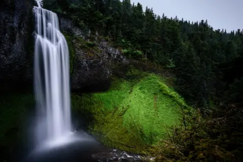 Salt Creek Falls40 mi straight-lineSeasonal286FT SINGLE DROP
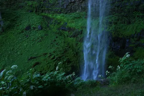 Toketee Falls69 mi straight-lineOpen120FT
More waterfalls to explore


On these lists: Easy waterfall hikes · Roadside waterfalls
Sources
Some facts credited to the Forest Service come from search-result excerpts of its official pages. Confirm fees and rules on the official site.
- USDA Forest Service: Tumalo Falls Day Use Area (updated Aug 14, 2026; read Oct 28, 2026)
- USDA Forest Service Deschutes: Seasonal dog leash restrictions
- USDA Forest Service Region 6: Passes (updated Oct 5, 2026)
- Bend Bulletin: Last bout at Tumalo Falls (Nov 26, 2025)
- Wikipedia: Tumalo Falls
- USGS: Tumalo Creek near Bend, OR (gauge 14073000)
Last verified Oct 28, 2026 by The Waterfall Guide editorial team. Conditions change: confirm with U.S. Forest Service, Deschutes National Forest before you go. Spotted something out of date? Report a correction.