Right now
Right now as of Nov 3, 2026
- Status Seasonal, as far as we can tell: on Nov 3, 2026 the USFS Salt Creek Falls Observation Site page showed "Site Open" (updated March 3, 2026).
- Permit No permit needed. Entry fee: $5 per vehicle or a pass.
Status note (Nov 3, 2026): Seasonal, as far as we can tell: on Nov 3, 2026 the USFS Salt Creek Falls Observation Site page showed "Site Open" (updated March 3, 2026). But USFS says the site is normally closed in winter. In winter you can park at the Salt Creek Sno-Park and walk 0.4 mile along the road. Check with the Middle Fork Ranger Station, (541) 782-2283, before you go. What the status labels mean
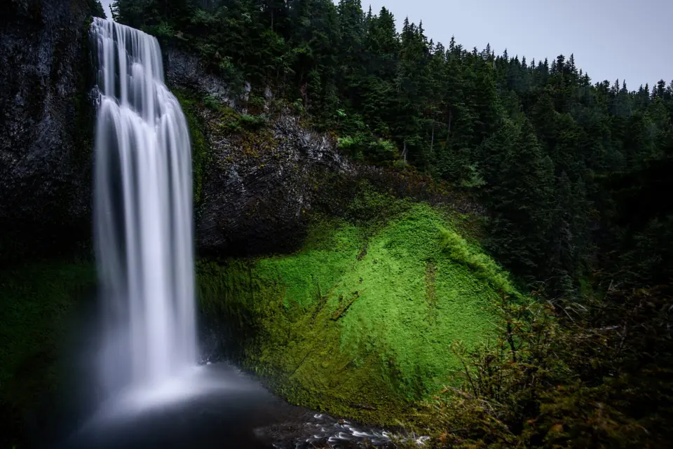
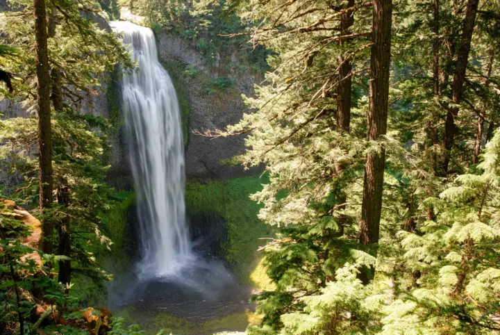
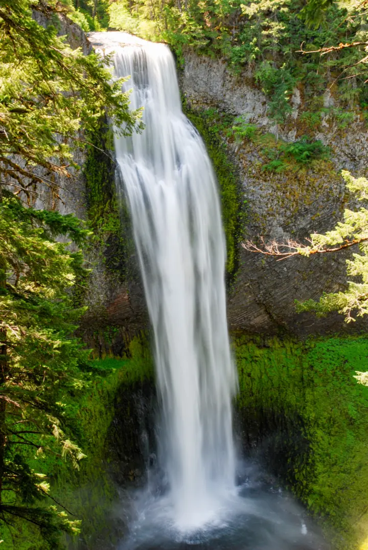
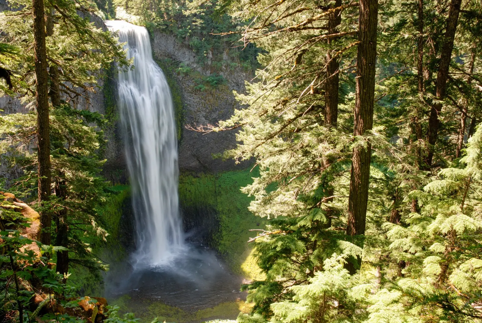
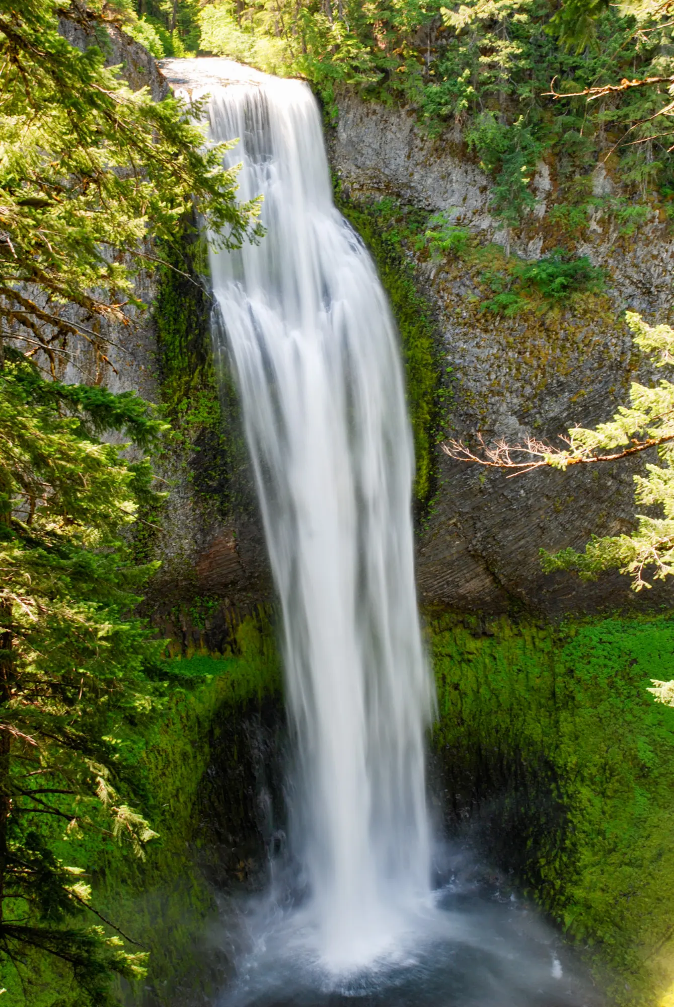
Salt Creek Falls drops 286 feet in the Willamette National Forest, off Oregon Highway 58 near Willamette Pass. The U.S. Forest Service (USFS) calls it Oregon's second highest single-drop waterfall. An accessible observation platform at the top of the falls is 50 yards from the parking lot. The site charges $5 per vehicle or takes a recreation pass. USFS says it is normally closed in winter, when you walk in 0.4 mile from the Salt Creek Sno-Park.
About Salt Creek Falls
USFS describes Salt Creek Falls as "Oregon's second highest single drop waterfall, cascading 286 feet (87 meters)." The falls are in the Willamette National Forest in Lane County, southeast of Oakridge.
Wikipedia ranks it differently. It says Salt Creek Falls is third highest among Oregon's plunge waterfalls, after Watson Falls was re-measured at 293 feet. We use the USFS wording, since USFS manages the site.
The site has two ways to see the falls. The main observation platform sits at the top, 50 yards from the parking lot. A steep spur with stairs drops into the canyon and ends near the base.
There are vault toilets and picnic tables, but no potable water, per USFS. Horses and pack animals are not allowed at the site.
Getting there and parking
USFS puts the site 23 miles southeast of Oakridge and about 5 miles west of Willamette Pass. From Highway 58, look for the signs east of milepost 57 and turn onto Forest Service Road 5893.
Parking for trailers is limited, USFS says. Overflow parking is at the Salt Creek Sno-Park, 0.4 mile up the road.
Fees and passes
USFS charges a day-use fee of "$5 per vehicle per day." A Northwest Forest Pass or an interagency pass also covers it. You can buy passes at USFS offices or on recreation.gov.
Winter parking
The observation site is "normally closed in winter," USFS says. To reach the viewpoint then, park at the Salt Creek Sno-Park and walk 0.4 mile along the road to the falls.
USFS says the site lot is not maintained for snow and ice, and asks you not to park on the side of the highway. In winter, restrooms are in the Sno-Park lot.
The USFS page does not say whether an Oregon Sno-Park permit is needed to park there. Call the Middle Fork Ranger Station at (541) 782-2283 before you leave.
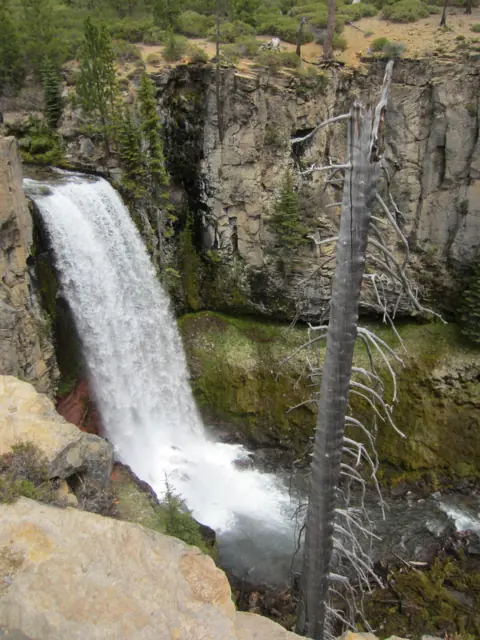
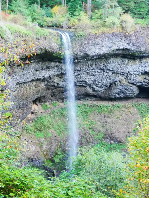
Other Oregon falls in our guide include Toketee Falls, Tumalo Falls and Silver Falls. Our Oregon waterfalls guide lists more.
Map and nearby falls
Map loads as you scroll. Open in OpenStreetMap
OpenPartly open / seasonalUnconfirmedClosedLarger map
Viewpoints and the Diamond Creek Falls Loop
Main platform: from the interpretive exhibits, the viewing platform is "approximately 50 yards down the trail," per USFS. It sits at the top of the falls and is wheelchair accessible, with railings set for wheelchair sight lines.
Base spur: to the right of the platform, USFS says, "a more difficult spur trail takes off." The pavement ends at the top of a stairway. The trail then drops steeply into the canyon and ends near the base.
USFS calls this spur short but gives no length. It is not wheelchair accessible because of its numerous stairs.
Back to the lot: from the platform, the trail loops back to the parking lot in 50 yards. A longer option runs 250 yards through the picnic area along Salt Creek.
Diamond Creek Falls Loop
From the picnic area bridge, USFS describes "a 3.2 mile loop trail" that "skirts the rims of the Salt Creek and Diamond Creek Canyons." It is the longer option if you want more than the viewpoints.
USFS says access is weather dependent. For current trail conditions, it asks you to contact the local ranger station.
When to visit
USFS lists the site as open, but says it is normally closed in winter. Its observation site page was last updated March 3, 2026, and gives no opening or closing dates.
The site is day use only, open sunrise to sunset. In winter, use the Sno-Park and walk 0.4 mile along the road.
USFS gives no best month for flow. Call the Middle Fork Ranger Station at (541) 782-2283 before a winter or early-spring trip.
| Height | 286 ft (single drop)Note: USFS calls it Oregon's second highest single-drop waterfall; Wikipedia ranks it third among Oregon plunge falls after Watson Falls was re-measured at 293 ft |
|---|---|
| Trail | Accessible observation platform about 50 yards from the parking lot. A short, steep spur with stairs leads toward the base, with no length given. Diamond Creek Falls Loop 3.2 mi (USFS) |
| Difficulty | Easy to the accessible platform; the spur toward the base is steep with numerous stairs (USFS) |
| Entry fee | $5 per vehicle per day, or a Northwest Forest Pass or interagency pass (USFS). Buy passes at USFS offices or on recreation.gov |
| Permit / reservation | No permit; a $5 day-use fee or a recreation pass is required |
| Parking | Site lot off FS Road 5893; Sno-Park in winter |
| Hours / season | Day use only, sunrise to sunset; the site is normally closed in winter (USFS) |
| Dogs | Must be on a leash no longer than 6 ft in developed recreation sites (USFS, 36 CFR 261.16(j)) |
| Swimming | No swim rule is listed by USFS; the falls are viewed from the platform and the base spur |
| Wheelchair / stroller | Yes, at the top: the observation platform 50 yards from the lot is wheelchair accessible, with railings set for wheelchair sight lines. The base spur is not accessible (USFS) |
| Walk behind the falls | No |
| Restrooms | Vault toilets at the site, no potable water; in winter, restrooms are in the Sno-Park lot (USFS) |
| Best time to visit | No official best month; the site is normally closed in winter (USFS) |
| Managed by | U.S. Forest Service, Willamette National Forest |
Safety and swimming
The base spur is steep, with numerous stairs, per USFS. Take it slowly and stay on the trail as it drops into the canyon.
In winter, USFS warns that the parking lot is not maintained for snow and ice: "Be aware of slippery conditions." Do not park on the side of the highway.
USFS posts no swim rule. The falls are viewed from the platform and the base spur, so stay on those routes.
There is no potable water at the site, so bring your own. Dogs must be on a leash no longer than 6 feet in developed recreation sites, per USFS.
Our waterfall safety guide has more on stairs, steep trails and icy footing near falls.
Conditions change: confirm with the USFS Willamette National Forest before you go.
Where to stay near Salt Creek Falls
Compare hotels, cabins and rentals close to the falls around Oakridge.
See places to stay nearbyAffiliate link: we may earn a commission at no cost to you. Partners do not see or change our waterfall facts. Disclosure.
Photos
Salt Creek Falls FAQ
How long of a hike is Salt Creek Falls?
The main platform is about 50 yards from the parking area, per USFS. A short, steep spur with stairs leads toward the base, but USFS gives no length for it. The Diamond Creek Falls Loop is 3.2 miles.
Where is Salt Creek Falls located?
In the Willamette National Forest, 23 miles southeast of Oakridge and about 5 miles west of Willamette Pass (USFS). Turn off Highway 58 east of milepost 57 onto Forest Service Road 5893.
Is Salt Creek Falls a hard hike?
The main viewpoint is not: it is a wheelchair-accessible platform 50 yards from the lot. The spur toward the base is steep with numerous stairs and is not accessible, per USFS.
Is Salt Creek Falls closed in winter?
USFS says the observation site is normally closed in winter, though on Nov 3, 2026 its page showed "Site Open" (updated March 3, 2026). In winter, park at the Salt Creek Sno-Park and walk 0.4 mile along the road.
How tall is Salt Creek Falls?
286 feet, per USFS, which calls it Oregon's second highest single-drop waterfall. Wikipedia ranks it third among Oregon plunge falls after a re-measure of Watson Falls at 293 feet.
Do you need a pass for Salt Creek Falls?
Yes. USFS charges $5 per vehicle per day, or you can show a Northwest Forest Pass or an interagency pass. The USFS page does not say whether a Sno-Park permit is needed for winter parking.
Are dogs allowed at Salt Creek Falls?
Yes, on a leash no longer than 6 feet, under the USFS rule for developed recreation sites.
Nearby waterfalls
More waterfalls to explore


On these lists: Easy waterfall hikes · Roadside waterfalls
Sources
- USDA Forest Service: Salt Creek Falls Observation Site and Picnic Area (Site Open, updated Mar 3, 2026; read Nov 3, 2026)
- USDA Forest Service: Salt Creek Falls Trail #3673 (updated Jun 6, 2025; read Nov 3, 2026)
- Wikipedia: Salt Creek Falls (Oregon ranking and the Watson Falls re-measure)
Last verified Nov 3, 2026 by The Waterfall Guide editorial team. Conditions change: confirm with U.S. Forest Service, Willamette National Forest before you go. Spotted something out of date? Report a correction.