Right now
Right now as of Oct 28, 2026
- Permit No permit needed. Fee: no fee listed.
Status note (Oct 28, 2026): Open as last posted. The Forest Service trail page, updated August 17, 2026, shows no closure, and we found no 2026 closure notice. Conditions can change in winter and fire season, so check Umpqua National Forest alerts or call the North Umpqua Ranger Station (541-496-3532). What the status labels mean
Toketee Falls is a two-tier waterfall of about 120 feet on the North Umpqua River in the Umpqua National Forest, off OR-138 about 58 miles east of Roseburg. Toketee Falls Trail #1495 is 0.4 miles each way, with nearly 200 steps, and ends at a viewing platform. The Forest Service lists no fee, and its trail page, updated August 17, 2026, shows no closure. Umpqua Hot Springs and Watson Falls are short drives away.
About Toketee Falls
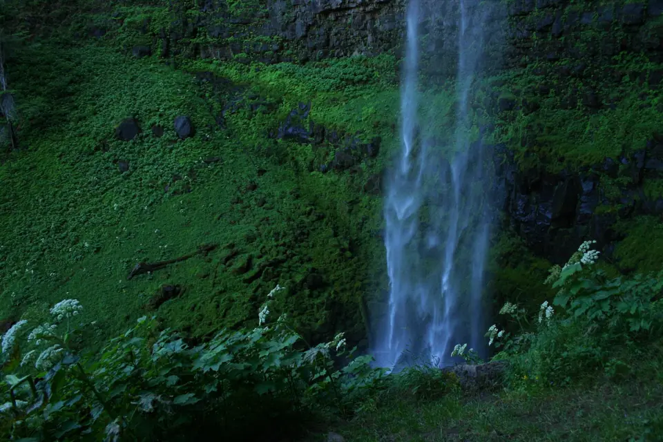
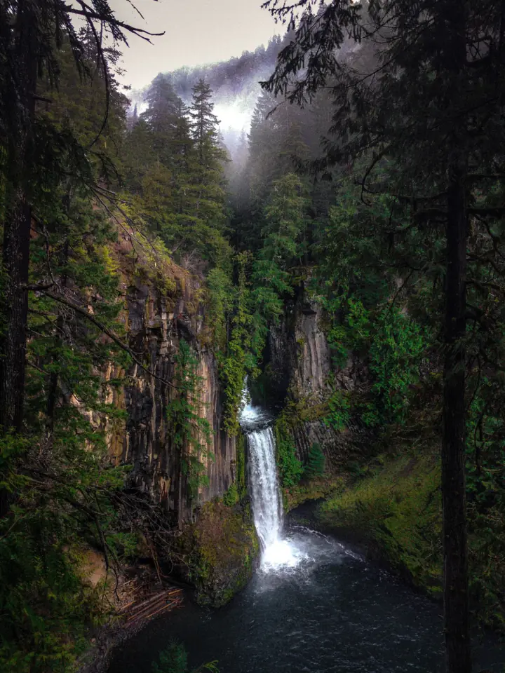
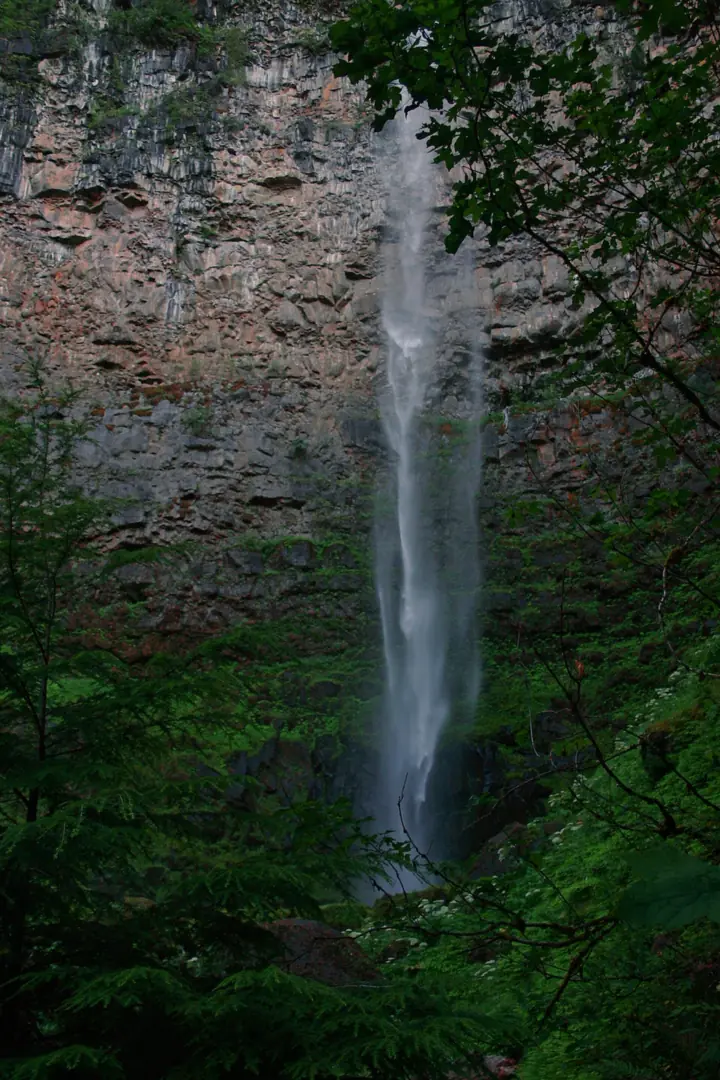
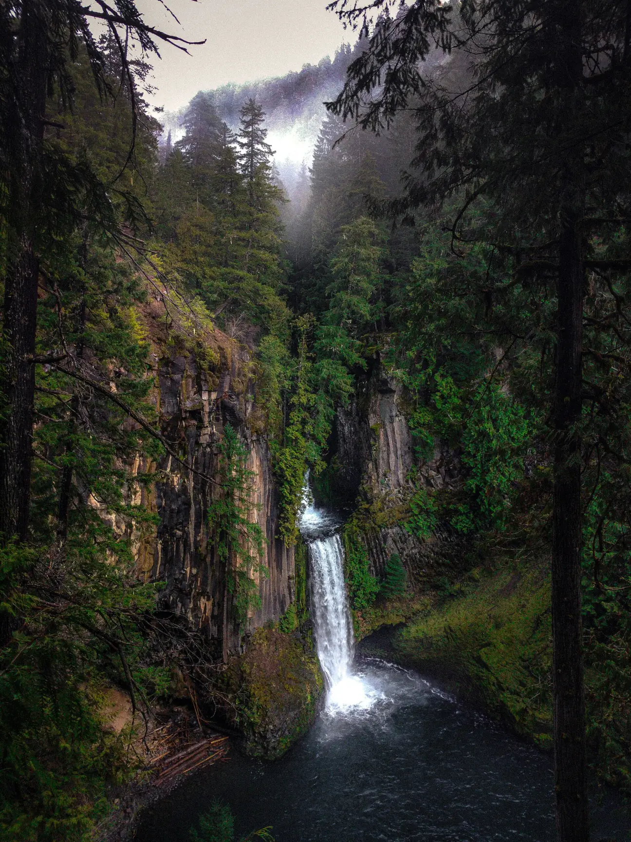
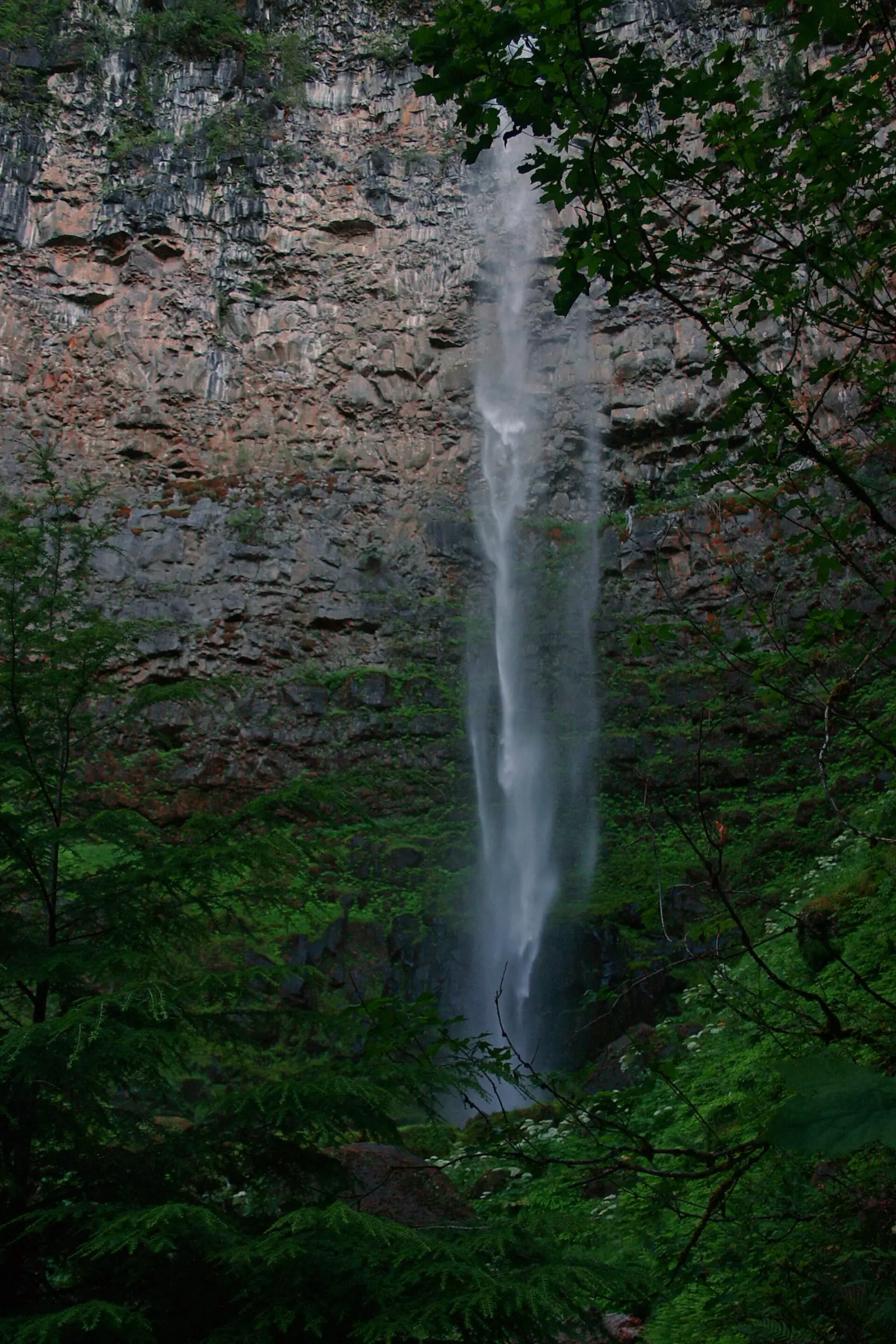
Toketee Falls drops in two stages, the Forest Service says. The upper drop is 40 feet, and the lower falls plunges 80 feet over a sheer wall of basalt. The two drops total about 120 feet, and Wikipedia gives the same.
The trail runs through old-growth Douglas-fir, western red cedar, bigleaf maple and Pacific yew. The North Umpqua Wild and Scenic River is visible at several points along the way, per the Forest Service.
Columnar basalt
The North Umpqua River has carved the falls through columnar basalt from a relatively recent High Cascades lava flow, according to a historical marker recorded by HMdb.
Toketee is a Chinook Jargon word meaning "pretty" or "graceful", and it became the official name in 1916, per Wikipedia.
Getting there and parking
Toketee Falls Trail #1495 starts off OR-138 at milepost 58.6 via Forest Road 34, about 58 miles east of Roseburg.
From Roseburg and Crater Lake
From Roseburg, take OR-138 east. The Forest Service says to turn north at milepost 58.6 onto Forest Road 34 (Toketee-Rigdon Road), cross the first bridge and turn left into the trailhead parking. The trail starts at the far end of the lot.
The falls sit northwest of Crater Lake's north entrance, per Wikipedia, so they can fit into a drive between the two.
The Forest Service trail page lists no fee. The trailhead also isn't on the Umpqua National Forest's list of cashless fee sites, KATU reported in February 2026. Oregon Hikers lists restrooms at the trailhead.
Toketee Lake and the hydro pipeline
The river here is partly managed for power. A PacifiCorp dam just upstream, part of the North Umpqua Hydroelectric Project, forms Toketee Lake. A penstock diverts part of the river's flow away from the falls.
The big pipe beside the road to the trailhead belongs to the same hydro project. The Forest Service notes that it usually springs a few leaks.
For a long-distance pairing, Tumalo Falls is near Bend in Central Oregon, and Silver Falls is near Silverton.
Camping near Toketee Falls
Toketee Lake Campground is the closest Forest Service campground. Recreation.gov lists 32 sites, all by reservation. Book at least 7 days ahead, and stays are limited to 14 days.
Toketee Lake Campground is a dry campground with vault toilets, so bring your own water. Vehicles are limited to 30 feet, and each extra vehicle costs $5, paid at the kiosk. Recreation.gov says Toketee Falls and Watson Falls are within a five-minute drive.
To get there, turn off OR-138 onto Forest Road 34, keep left, cross the bridge and continue 1.5 miles; the entrance is on the right. KATU reported that the campground is run by a concessionaire, WESTrek, in summer. Recreation.gov gives no nightly rate or season, so check it when you book.
Map and nearby falls
Map loads as you scroll. Open in OpenStreetMap
OpenPartly open / seasonalUnconfirmedClosedLarger map
The Toketee Falls Trail (nearly 200 steps)
Toketee Falls Trail #1495: the Forest Service lists the trail as 0.4 miles each way with nearly 200 steps. That makes about 0.8 miles round trip.
Rest stop: there's a bench about halfway, per the Forest Service.
The platform: the trail ends at a sturdy viewing platform that looks over both tiers of the falls. This is the end of the official trail.
The distance is short, but plan for nearly 200 steps. Because of the stairs, the trail isn't wheelchair accessible.
Nearby: Umpqua Hot Springs and Watson Falls
Umpqua Hot Springs is up Forest Road 34 from the Toketee junction; we found no official mileage. Day use costs $5 per vehicle, or you can show a Northwest Forest Pass or America the Beautiful pass. Since April 1, 2026, payment is cashless through Recreation.gov Scan & Pay, KATU reported.
From November 1 to April 30, Recreation.gov says a Sno-Park permit replaces the day pass there. Wikipedia describes a steep 0.3-mile trail to the pools.
Watson Falls is east of Toketee on Forest Road 37, off OR-138. The Forest Service lists it at 293 feet, the highest in southwest Oregon, with a 0.4-mile trail. Its trail page gives 294 feet.
When to visit
The Forest Service trail page, updated August 17, 2026, shows no closure, and we found none for 2025 or 2026.
Conditions can change in winter and during fire season. Before you drive out, check Umpqua National Forest alerts or call the North Umpqua Ranger Station at 541-496-3532.
We couldn't find an official best month, hours or crowd estimate for this trail.
When is the water highest?
At a USGS stream gauge about 0.6 mi from the falls, the flow averages highest in June and lowest in November, based on 22 years of records (2004 to 2025).
Show the numbers
| Month | Average flow (cfs) |
|---|---|
| January | 140 |
| February | 110 |
| March | 145 |
| April | 142 |
| May | 161 |
| June | 172 |
| July | 102 |
| August | 133 |
| September | 129 |
| October | 123 |
| November | 100 |
| December | 138 |
| Height | 120 ftNote: 40-ft upper and 80-ft lower drop, per the Forest Service; Wikipedia also gives about 120 ft |
|---|---|
| Trail | 0.4 mi each way on Toketee Falls Trail #1495, with nearly 200 steps, to a viewing platform |
| Difficulty | Easy distance, but nearly 200 steps |
| Entry fee | No fee listed on the Forest Service trail page; the trailhead isn't on the Umpqua National Forest's cashless fee-site list (KATU, Feb 2026) |
| Permit / reservation | No permit found |
| Parking | Lot off FR 34 at OR-138 milepost 58.6 |
| Swimming | Not at the viewpoint; the base is reached only by unofficial, steep routes |
| Wheelchair / stroller | No (stairs) |
| Walk behind the falls | No |
| Restrooms | Listed at the trailhead by Oregon Hikers; not confirmed by the Forest Service |
| Managed by | U.S. Forest Service, Umpqua National Forest (North Umpqua Ranger District) |
Safety and swimming
Stay behind the fence. The Forest Service asks visitors not to climb over the safety fence to reach the bottom of the falls. It calls that extremely dangerous and says there have been multiple serious injuries and deaths over the years.
On August 12, 2018, a 23-year-old California man fell after crossing the safety fence to take photos from above, KVAL reported. On May 12, 2019, a 59-year-old Bandon man fell to his death at the falls, per KVAL; the report didn't give the circumstances.
There's no swimming at the viewpoint. The only routes to the base are unofficial paths below the platform, and they are steep and not maintained.
Take your time on the steps, especially when they're wet, and use the halfway bench if you need it. See our waterfall safety guide for more.
Where to stay near Toketee Falls
Compare hotels, cabins and rentals close to the falls around Roseburg.
See places to stay nearbyAffiliate link: we may earn a commission at no cost to you. Partners do not see or change our waterfall facts. Disclosure.
Photos
Toketee Falls FAQ
Is the Toketee Falls trail open?
Yes, as last posted. The Forest Service trail page, updated August 17, 2026, shows no closure. Check Umpqua National Forest alerts or call the North Umpqua Ranger Station at 541-496-3532 in winter and fire season.
How long is the Toketee Falls trail?
About 0.4 miles each way (0.8 miles round trip), with nearly 200 steps and a bench about halfway, per the Forest Service. It ends at a viewing platform.
How tall is Toketee Falls?
About 120 feet in two drops, according to the Forest Service: 40 feet upper and 80 feet lower. Wikipedia also gives about 120 feet.
Can you swim at or get to the bottom of Toketee Falls?
No. The official trail ends at the viewing platform. The Forest Service warns against climbing the safety fence and says people have been badly hurt and killed doing it, including a fatal fall in 2018.
How far is Umpqua Hot Springs from Toketee Falls?
It's a short drive up Forest Road 34 from the Toketee junction, then a steep 0.3-mile trail; we found no official mileage. Day use costs $5 per vehicle, paid cashless through Recreation.gov since April 2026, or show a qualifying pass.
Is there a fee at Toketee Falls?
The Forest Service trail page lists no fee, and the trailhead wasn't on the Umpqua National Forest's 2026 list of cashless fee sites. Umpqua Hot Springs nearby does charge $5 per vehicle.
Where is Toketee Falls?
In Douglas County in the Umpqua National Forest. Turn north off OR-138 at milepost 58.6 onto Forest Road 34, about 58 miles east of Roseburg. It's northwest of Crater Lake's north entrance, per Wikipedia.
What does Toketee mean?
"Pretty" or "graceful". Toketee is a Chinook Jargon word, and the name became official in 1916.
Nearby waterfalls
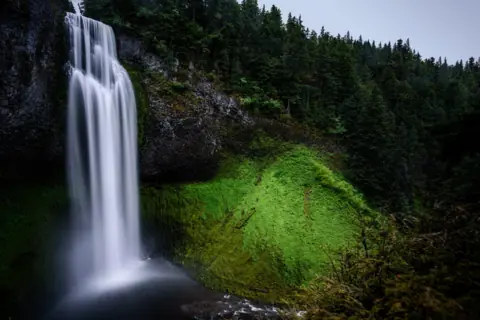 Salt Creek Falls29 mi straight-lineSeasonal286FT SINGLE DROP
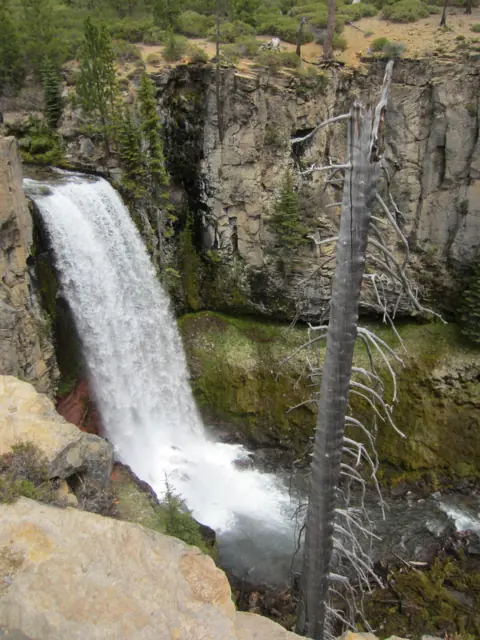 Tumalo Falls69 mi straight-lineSeasonal97FT
More waterfalls to explore
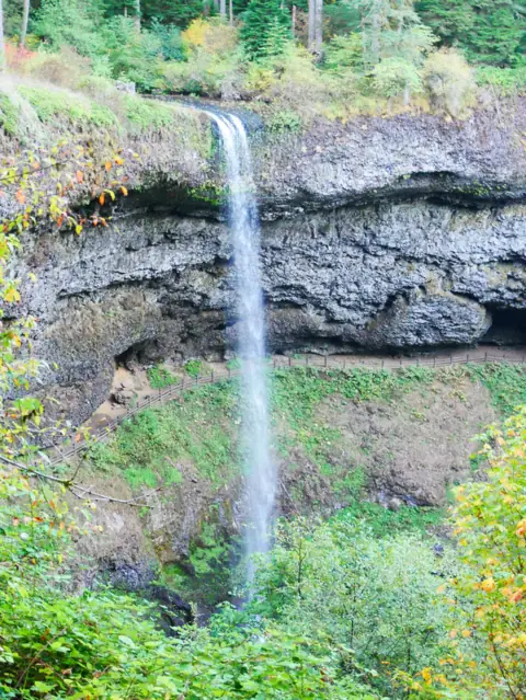


On these lists: Easy waterfall hikes
Sources
Some facts credited to the Forest Service come from search-result excerpts of its official pages. Confirm fees and rules on the official site.
- USDA Forest Service Umpqua NF: Toketee Falls Trail #1495 (updated Aug 17, 2026; read Oct 28, 2026)
- HMdb: Toketee Falls marker
- Oregon Hikers: Toketee Falls Hike
- Wikipedia: Toketee Falls
- KATU: Umpqua National Forest sites go cashless April 1, 2026 (Feb 3, 2026)
- Recreation.gov: Umpqua National Forest day-use pass
- Recreation.gov: Toketee Lake Campground
- USDA Forest Service Umpqua NF: Watson Falls Trailhead
- Wikipedia: Umpqua Hot Springs
- KVAL: California man's body recovered from Toketee Falls (2018)
- KVAL: Bandon man falls to his death at Toketee Falls (May 14, 2019)
Last verified Oct 28, 2026 by The Waterfall Guide editorial team. Conditions change: confirm with U.S. Forest Service, Umpqua National Forest (North Umpqua Ranger District) before you go. Spotted something out of date? Report a correction.