Right now
Right now as of Oct 27, 2026
- Permit None needed.
Status note (Oct 27, 2026): Open year-round. As listed by DEC and the Town of Hunter on October 27, 2026, the Molly Smith lot on Route 23A remains closed. Parking in Route 23A pull-offs in Kaaterskill Clove is banned from May through October. What the status labels mean
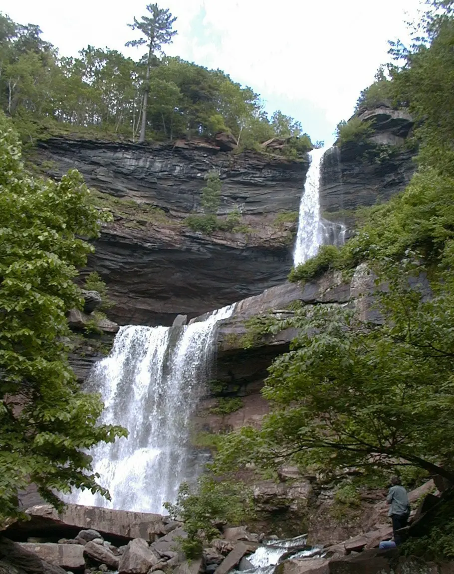
Kaaterskill Falls is a two-drop waterfall of about 260 feet on Spruce Creek in the Catskills. From the Laurel House Road parking area, off North Lake Road, an accessible 0.3-mile trail leads to a viewing platform. As of October 27, 2026, DEC lists it as free and open year-round, and Route 23A is no-parking from May through October.
About Kaaterskill Falls
Kaaterskill Falls drops about 260 feet in two tiers, and the upper drop alone is roughly 180 feet, according to Wikipedia. Wikipedia describes it as one of the tallest waterfalls in New York. Spruce Creek feeds the falls, which sit in the 7,620-acre Kaaterskill Wild Forest, part of the Catskill Forest Preserve.
Visitors have come to see the falls since at least the 1820s. Washington Irving's Rip Van Winkle (1819) had already made the area famous when painter Thomas Cole first visited in 1825. His paintings of the falls helped launch the Hudson River School, according to Wikipedia.
In the 1800s the Laurel House hotel dammed Spruce Creek and charged spectators to watch the stored water released over the edge, Wikipedia says.
Hudson Valley One reported in 2025 that a roughly $1 million overhaul in 2016 added stone staircases, the viewing platform, fencing and warning signs.
Getting there and parking
DEC recommends three parking areas for Kaaterskill Falls. The Laurel House Road parking area is off North Lake Road, 0.5 mile before the North-South Lake Campground entrance. The Schutt Road lot is just before the campground entrance.
The South Lake lot is inside the campground, and DEC says a day-use fee may apply there. The viewing platform is 0.3 mile from the Laurel House Road parking area. When a lot is full, DEC says to move on and have a backup plan.
The Molly Smith lot on Route 23A is closed. DEC says the closure is to improve visitor safety, so don't plan around that lot.
From May through October, parking is banned in all vehicle pull-offs on Route 23A in Kaaterskill Clove. The Town of Hunter says that includes the ice climbers lot and Molly Smith's lot. Illegally parked cars are ticketed and towed to the Town Hall Impound Lot at 5742 NY-23A in Tannersville.
The Town of Hunter also suggests the KRT Trail from the Mountain Top Historical Society and Harding Road parking in Palenville. The Kaaterskill Trolley has ended operations, according to its own site. Call the town at 518-589-6150 with questions.
Map and nearby falls
Map loads as you scroll. Open in OpenStreetMap
OpenPartly open / seasonalUnconfirmedClosedLarger map
Kaaterskill Falls hike: platform and base
The walk to the Kaaterskill Falls viewing platform is 0.3 mile one way from the Laurel House Road parking area, on a trail DEC lists as wheelchair accessible. A steeper trail continues below the platform to the base.
Laurel House Road to the viewing platform
From the Laurel House Road parking area, the trail runs 0.3 mile one way to a platform that looks out over the falls. DEC lists it as wheelchair accessible. It has a gentle grade (10% maximum), a tread at least 5 feet wide and a firm crushed-stone surface.
The round trip is about 0.6 mile and rated easy. The accessible route ends at the platform.
Down to the base
Below the platform, a steeper trail continues to the base of the falls. It is not part of the accessible route. Expect a harder effort than the walk to the platform, especially on the way back up.
You may see older directions that start on Route 23A. According to Wikipedia, the old yellow-blazed trail from the highway, about 0.4 mile long, now ends at the lower falls and is blocked there. We could not confirm its 2026 status with DEC.
When to visit
Kaaterskill Falls is on Forest Preserve land and open year-round, according to DEC. By state regulation, no one may enter or stay in the Kaaterskill Clove area between half an hour after sunset and half an hour before sunrise. Campers and licensed hunters, anglers and trappers are exempt (6 NYCRR 190.36).
Fall foliage
We found no official peak-foliage date for the falls. Check I LOVE NY's fall foliage report before you go. Foliage weekends fall inside the Route 23A parking ban, so arrive with a backup lot in mind.
Summer and the Route 23A parking ban
From May through October, you can't park anywhere along Route 23A, including its pull-offs. Build your plan around the Laurel House Road, Schutt Road and South Lake lots, with a second choice ready if your first is full.
Winter ice
DEC highly recommends traction devices for safe travel on icy trails, and the stone stairs below the platform are part of the route to the base. Check DEC's Catskill Backcountry Information page for current conditions before a winter visit.
If you are building a longer New York trip, Taughannock Falls is another New York waterfall to consider. It is a tall single plunge in a Finger Lakes state park near Ithaca; see its page for fees and trail details.
Closer to the Catskills, Bash Bish Falls sits just over the state line in Massachusetts. See its page for trailheads and access; it pairs well with a Hudson Valley trip.
| Height | 260 ftNote: two drops; the upper drop is about 180 ft, per Wikipedia |
|---|---|
| Trail | Platform: 0.3 mi one way on an accessible crushed-stone trail. Base: a steeper trail below the platform. |
| Difficulty | Easy to the platform; steeper below it |
| Entry fee | Free, per DEC. The South Lake lot inside North-South Lake Campground may charge a day-use parking fee. |
| Permit / reservation | None needed |
| Parking | Laurel House Road, Schutt Road or South Lake lots; no Route 23A parking May to October |
| Hours / season | Open year-round (DEC). The Kaaterskill Clove area is closed from ½ hour after sunset to ½ hour before sunrise (6 NYCRR 190.36). |
| Swimming | Not a swimming site. DEC bans entering the water within 150 ft upstream of the top of the falls, and warns that flash floods may occur. |
| Wheelchair / stroller | Yes, to the viewing platform. DEC lists the 0.3-mi trail as accessible: crushed stone, at least 5 ft wide, 10% maximum slope. |
| Walk behind the falls | No |
| Restrooms | Seasonal accessible portable toilet at the Laurel House Road parking area (DEC) |
| Managed by | NYS Department of Environmental Conservation (DEC), Kaaterskill Wild Forest |
Safety and swimming
Kaaterskill Falls has a long record of deaths. Hudson Valley One counted nine deaths at the falls since 1992, and Wikipedia gives a similar count for 1988 to 2021. The two counts cover different years and don't match exactly.
On June 20, 2025, a 70-year-old hiker from Park Ridge, Illinois, fell from a rock ledge onto the trail's stone steps and died, New York State Police said. Stay on the marked trail and stairs. Keep behind fences, and do not climb the rocks beside the route.
DEC's rules for Kaaterskill Falls are specific. Do not enter the water within 150 feet upstream of the top of the falls. Stay at least 6 feet from cliff edges except on marked trails. Alcohol, fires, grills, stoves, generators, radios and glass containers are not allowed.
DEC warns that flash floods may occur in the Kaaterskill Falls and Kaaterskill Clove areas. There is no swimming area at the falls. In an emergency, call 911; DEC forest rangers can be reached at 1-833-NYS-RANGERS. For general tips, see our waterfall safety guide.
Where to stay near Kaaterskill Falls
Compare hotels, cabins and rentals close to the falls around Palenville.
See places to stay nearbyAffiliate link: we may earn a commission at no cost to you. Partners do not see or change our waterfall facts. Disclosure.
Photos

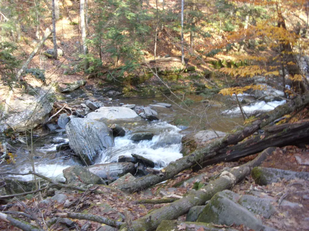

Kaaterskill Falls FAQ
Where do you park for Kaaterskill Falls?
DEC recommends the Laurel House Road parking area off North Lake Road, the Schutt Road lot, or the South Lake lot inside North-South Lake Campground. The Molly Smith lot is closed. Parking along Route 23A is banned May through October, and violators are ticketed and towed.
How long is the walk to the Kaaterskill Falls viewing platform?
0.3 mile one way from the Laurel House Road parking area, or about 0.6 mile round trip. DEC lists the trail as wheelchair accessible, with a firm crushed-stone surface and a 10% maximum slope. The trail below the platform to the base is steep and not accessible.
Can you see Kaaterskill Falls without hiking?
Yes, from the viewing platform, 0.3 mile from the Laurel House Road parking area on an accessible trail. The walk there is gentle, not a hike. Reaching the base means a steeper trail below the platform.
When is the best time to visit Kaaterskill Falls?
The falls are open year-round, and we found no official best season. From May through October, plan around the Route 23A parking ban and full lots. In winter, DEC highly recommends traction devices for icy trails.
Can you swim at Kaaterskill Falls?
No. Kaaterskill Falls has no swimming area. DEC rules ban entering the water within 150 feet upstream of the top of the falls, and DEC warns of flash floods. Stay at least 6 feet from cliff edges except on marked trails.
Why have people died at Kaaterskill Falls?
Hudson Valley One counts nine deaths at the falls since 1992. The most recent we found was in June 2025, when a hiker fell from a rock ledge onto the trail's stone steps, according to New York State Police. Stay on the marked trail and behind fences.
Is there a fee to visit Kaaterskill Falls?
No. DEC lists the Kaaterskill Wild Forest as free. The only possible cost is a day-use parking fee at the South Lake lot inside North-South Lake Campground.
How tall is Kaaterskill Falls?
About 260 feet in two drops, with an upper drop of about 180 feet, according to Wikipedia.
Nearby waterfalls
 Bash Bish Falls30 mi straight-lineOpen60FT
 Kent Falls44 mi straight-lineOpen250FT
 Wahconah Falls53 mi straight-lineOpen40FT
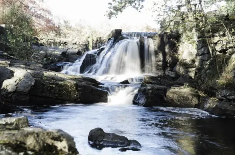 Southford Falls69 mi straight-lineUnconfirmed
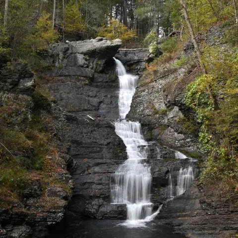 Raymondskill Falls74 mi straight-lineOpen150FT
On these lists: Easy waterfall hikes · Free waterfalls
Sources
- NYSDEC: Kaaterskill Wild Forest (owner paste Oct 27, 2026)
- NYSDEC: Catskill Backcountry Information
- Town of Hunter: Kaaterskill Clove / Kaaterskill Falls visitor and travel advisory (owner paste Oct 27, 2026)
- Kaaterskill Trolley Co: closure notice (read Oct 29, 2026)
- NY State Police release (June 24, 2025)
- Hudson Valley One: Another hiker dies at Kaaterskill Falls (June 26, 2025)
- Wikipedia: Kaaterskill Falls
- 6 NYCRR 190.36 (Cornell LII)
Last verified Oct 27, 2026 by The Waterfall Guide editorial team. Conditions change: confirm with NYS Department of Environmental Conservation (DEC), Kaaterskill Wild Forest before you go. Spotted something out of date? Report a correction.