Right now
Right now as of Nov 8, 2026
- Status Trail closed, falls reachable another way, as far as we can tell (Nov 8, 2026).
Status note (Nov 8, 2026): Trail closed, falls reachable another way, as far as we can tell (Nov 8, 2026). A USFS alert from Nov 4, 2026 says the trail, "its trailhead, and the north section of East Fork Trail #650 are closed for public safety this winter." The cause is unstable slope from last winter's landslide. The USFS says the waterfall can still be reached via Polallie Trailhead. What the status labels mean
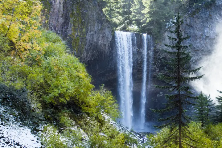
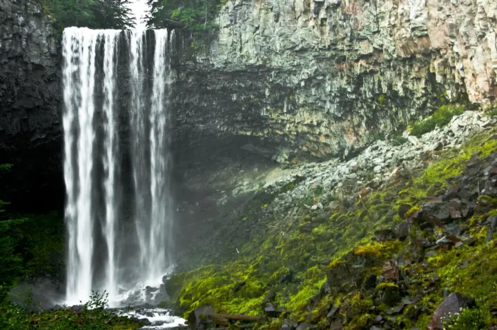
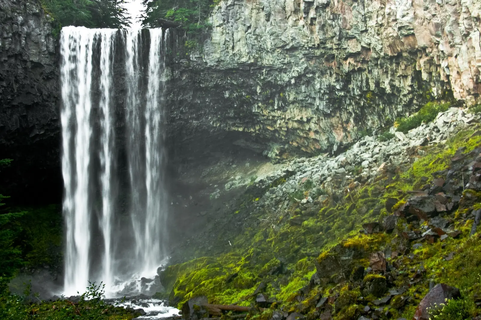
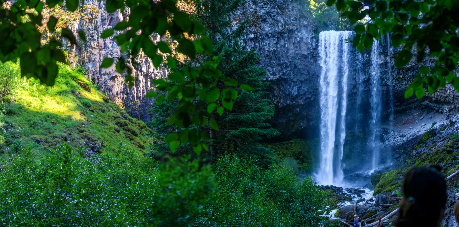
Tamanawas Falls is on Cold Spring Creek, per the USFS trail description, on the east slope of Mt. Hood in the Mt. Hood National Forest. The USFS says it is about 100 feet high and 40 feet wide. As of Nov 8, 2026, Trail #650A and its trailhead are closed this winter after a landslide. The USFS says you can still reach the falls from Polallie Trailhead. The USFS Passes page lists a $5 fee at Polallie Trailhead.
About Tamanawas Falls
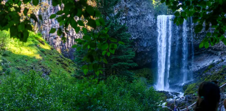
Tamanawas Falls is on Cold Spring Creek, per the USFS trail description, on the east slope of Mt. Hood. The USFS says "the falls are approximately 100 feet high and 40 feet wide." Douglas fir and cedar shade the trail.
The usual trail is closed this winter. A USFS alert that began Nov 4, 2026 closed Trail #650A, its trailhead and the north section of East Fork Trail #650.
The USFS blames unstable slope in the path of last winter's landslide, which followed a large washout from 2025 storms. It says the waterfall can still be reached from Polallie Trailhead.
Our map pin marks the falls, using the USGS GNIS point for Tamanawas Falls. We found no published trailhead coordinate, so we show no trailhead marker. Navigate to Polallie Trailhead instead.
For other Oregon falls, see our guides to Multnomah Falls in the Columbia River Gorge and Tumalo Falls near Bend.
Getting there and parking
The USFS directions start in Hood River. We found no official drive time, so we don't give one.
Polallie Trailhead (open route)
Per the USFS, drive south 25 miles on Hwy 35 from Hood River to Polallie Trailhead, the north access. This is the trailhead to use during the closure.
Tamanawas Falls Trailhead (closed this winter)
The USFS puts the usual trailhead about 5 more miles along Hwy 35, on the west side of the highway. It sits 1/4 mile north of Sherwood Campground. The alert closes this trailhead for the winter.
Passes and winter parking
The USFS Mt. Hood Passes page lists Polallie Trailhead at $5. The Trail #650A page lists no pass rule. Check the Passes page before you park.
The Mt. Hood alerts say Sno-Park permits are required at designated winter recreation parking areas from November 1 to April 30. We could not confirm whether Polallie is one, so check whether that applies there.
Map and nearby falls
Map loads as you scroll. Open in OpenStreetMap
OpenPartly open / seasonalUnconfirmedClosedLarger map
Tamanawas Falls trail: the Polallie approach and the closed usual route
The USFS describes the trails as a loop that starts at Tamanawas Falls Trailhead. It does not describe the Polallie route step by step. By our reading, its loop figures fit that approach in reverse.
From Polallie Trailhead
The loop meets East Fork Trail #650 just above Polallie Trailhead, where Elk Meadows Trail #645 comes down. Read in reverse, by our reading, you climb Elk Meadows Trail #645 about 1.25 miles to the Tie Trail #650B junction.
Then follow Tie Trail #650B about 0.5 mile to the canyon trail. From that junction, the USFS gives 0.2 to 0.25 mile to the falls, past a talus slope.
These are the USFS loop figures read backward. The USFS gives no total for this approach, so we don't add one up. We could not confirm whether the short stretch from the Polallie lot to the Elk Meadows junction is part of the closed north section.
The north section of East Fork Trail #650 is closed. Check the signs at Polallie and the USFS trail page before you start.
The usual route (closed this winter)
Normally you start at Tamanawas Falls Trailhead and cross the East Fork Hood River bridge. You turn right on East Fork Trail #650 for half a mile to Trail #650A.
Trail #650A crosses Cold Spring Creek and runs a quarter mile to the Tie Trail junction. Past a log bridge, log steps and a talus slope, the falls are a quarter mile on.
Returning over the Tie Trail, Elk Meadows Trail and East Fork Trail makes a 5-mile loop, the USFS says. That loop is not possible while the closure is in place.
Dogs and accessibility
The USFS trail page gives no dog rule for Trail #650A. It gives no accessibility information either, and the route crosses log steps and talus.
When to visit
The USFS names no best month. It calls the trail "an ideal destination to cool off on a hot summer afternoon."
This winter
The alert says the closure covers "this winter." It names no end date, so check the USFS trail page and alerts before each trip.
Nearby closures
As of Nov 8, 2026, a Grasshopper Fire closure is in place in Hood River and Wasco Counties east of Mt. Hood, updated Nov 6, 2026. Check the order map before you go.
For questions, call the Mt. Hood National Forest Supervisor's Office at (503) 668-1700.
| Height | about 100 ftNote: USFS: the falls are "approximately 100 feet high and 40 feet wide" |
|---|---|
| Trail | Trail #650A and its trailhead are closed this winter (USFS). The USFS says the falls can still be reached from Polallie Trailhead. Its loop description links Polallie to the falls by Elk Meadows Trail #645 and Tie Trail #650B. No total is published for that approach. |
| Difficulty | The USFS trail page we read gives no difficulty rating |
| Entry fee | The USFS Mt. Hood Passes page lists Polallie Trailhead at $5 (read Nov 8, 2026). The Trail #650A page lists no pass rule. Check the Passes page before you park |
| Permit / reservation | No hiking permit listed. The Mt. Hood alerts say ODOT Sno-Park permits are required at designated winter parking areas, Nov 1 to Apr 30. We could not confirm whether Polallie is one |
| Parking | Polallie Trailhead during the closure |
| Dogs | Not listed. The USFS trail page gives no dog rule for Trail #650A |
| Swimming | Not listed. The USFS trail page gives no swimming rule |
| Wheelchair / stroller | No accessibility information on the USFS trail page. The usual route crosses a log bridge, log steps and a talus slope |
| Best time to visit | No official best month; the USFS calls the trail "an ideal destination to cool off on a hot summer afternoon" |
| Crowds | No visitor count is published for the trail |
| Managed by | USDA Forest Service, Mt. Hood National Forest |
Safety and swimming
Stay out of the closed area. The USFS says sections of the trail have hazards from unstable slope in the path of last winter's landslide.
Watch your footing. The usual route crosses a log bridge, log steps and a talus slope, per the USFS.
The USFS page lists no swimming rule. Rocks near falling water can be slick, so keep back from the edge. Our waterfall safety guide has more.
Conditions change: confirm with the official source before you go.
Where to stay near Tamanawas Falls
Compare hotels, cabins and rentals close to the falls around Hood River.
See places to stay nearbyAffiliate link: we may earn a commission at no cost to you. Partners do not see or change our waterfall facts. Disclosure.
Photos
Tamanawas Falls FAQ
Is the Tamanawas Falls trail open?
No, as far as we can tell. A USFS alert starting Nov 4, 2026 closed Trail #650A, its trailhead and the north section of East Fork Trail #650 for the winter.
How can you reach Tamanawas Falls now?
The USFS says the falls can still be reached from Polallie Trailhead. Its loop figures, read in reverse, run 1.25 miles on Elk Meadows Trail #645, 0.5 mile on Tie Trail #650B, then about 0.2 mile to the falls. Check signs before you start.
How tall is Tamanawas Falls?
The USFS says the falls are approximately 100 feet high and 40 feet wide.
How long is the Tamanawas Falls hike?
The usual loop from Tamanawas Falls Trailhead is 5 miles, the USFS says, but that route is closed this winter. The USFS gives no total for the Polallie approach.
Do you need a pass to park for Tamanawas Falls?
The USFS Mt. Hood Passes page lists Polallie Trailhead at $5. The Mt. Hood alerts also say Sno-Park permits are required at designated winter parking areas from November 1 to April 30. Check whether that applies at Polallie.
Are dogs allowed on the Tamanawas Falls trail?
The USFS trail page gives no dog rule for Trail #650A. Contact the Supervisor's Office at (503) 668-1700 if you plan to bring one.
When is the best time to visit Tamanawas Falls?
The USFS names no best month. It calls the trail a place to cool off on a hot summer afternoon. This winter, the usual trail is closed.
Nearby waterfalls
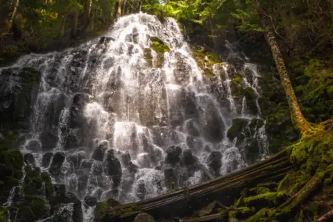 Ramona Falls9 mi straight-line, by our mathSeasonal
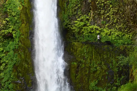 Tunnel Falls18 mi straight-line, by our mathOpen
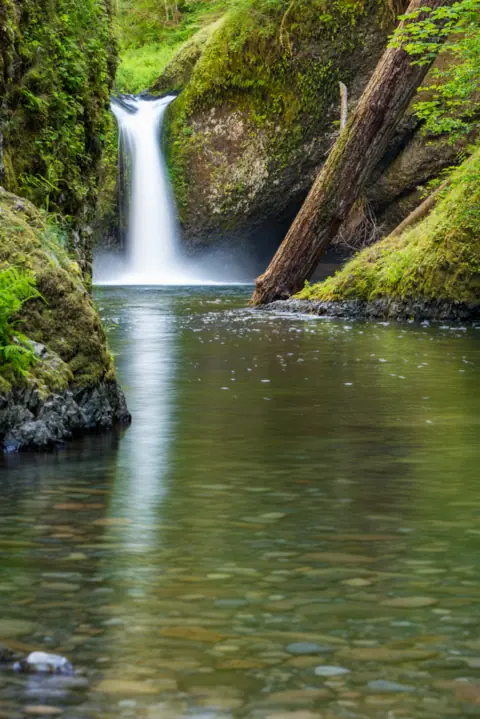 Punch Bowl Falls21 mi straight-line, by our mathOpen35FT
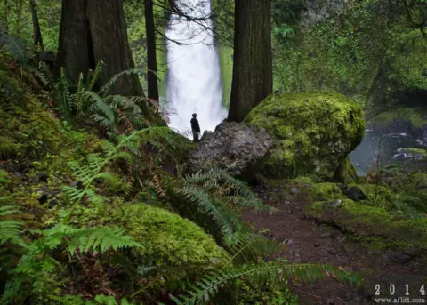 Wahclella Falls23 mi straight-line, by our mathOpen60FT
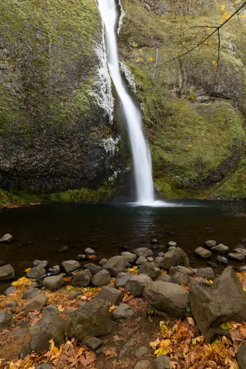 Horsetail Falls27 mi straight-line, by our mathOpen176FT
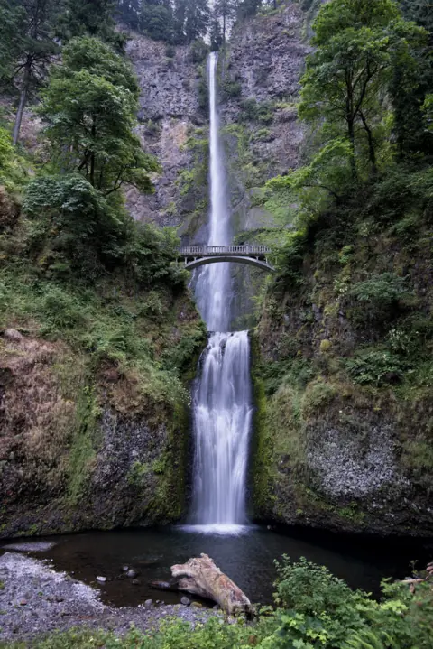 Multnomah Falls28 mi straight-line, by our mathOpen620FT
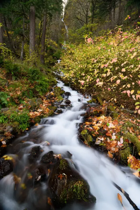 Wahkeena Falls29 mi straight-line, by our mathOpen242FT
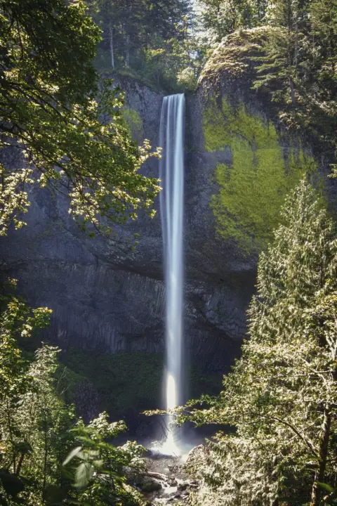 Latourell Falls32 mi straight-line, by our mathOpen224FT
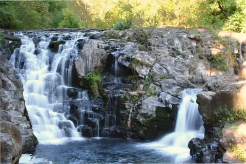 Moulton Falls49 mi straight-line, by our mathOpen10FT
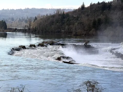 Willamette Falls50 mi straight-line, by our mathPartly open40FT
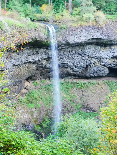 South Falls (Silver Falls)63 mi straight-line, by our mathOpen177FT
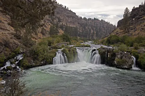 Steelhead Falls70 mi straight-line, by our mathOpen
City guides: Waterfalls near Bend, OR
Sources
- USDA Forest Service, Mt. Hood: Tamanawas Falls Trail #650A (closure, height, route, loop, directions; page updated Nov 4, 2026; read Nov 8, 2026)
- USDA Forest Service, Mt. Hood: Tamanawas Falls Trail closed due to instability hazards (alert start Nov 4, 2026; read Nov 8, 2026)
- USDA Forest Service, Mt. Hood: Alerts (Sno-Park permits, Grasshopper Fire closure; read Nov 8, 2026)
- USDA Forest Service, Mt. Hood: Tamanawas Falls Trail description (PDF)
- USGS GNIS via The National Map geonames service: Tamanawas Falls, Hood River County (feature 1150851)
- USDA Forest Service: Mt. Hood Passes (fee list shows "Polallie Trailhead $5"; read Nov 8, 2026)
Last verified Nov 8, 2026 by The Waterfall Guide editorial team. Conditions change: confirm with USDA Forest Service, Mt. Hood National Forest before you go. Spotted something out of date? Report a correction.