Right now
Right now as of Nov 8, 2026
- Status Open, as far as we can tell (Nov 8, 2026): no Mt.
- Heads-up Restrooms at the trailhead May 1 to Oct 31 (USFS), so closed for the season by those dates. Potable water is not available.
Status note (Nov 8, 2026): Open, as far as we can tell (Nov 8, 2026): no Mt. Hood alert names Ramona Falls Trail #797 or Sandy River Trail #770. But the USFS lists Forest Road 1825, the road to the trailhead, as seasonally closed at MP 0.7 from Dec 1 to Apr 1. What the status labels mean
Ramona Falls is in the Mount Hood Wilderness on Mt. Hood National Forest. The USFS trail is 7 miles round trip, gaining about 1,000 feet, and crosses the glacial Sandy River with no bridge. The USFS Passes page lists a $5 fee at the trailhead. Forest Road 1825, the road to the trailhead, is seasonally closed at MP 0.7 from Dec 1 to Apr 1.
About Ramona Falls
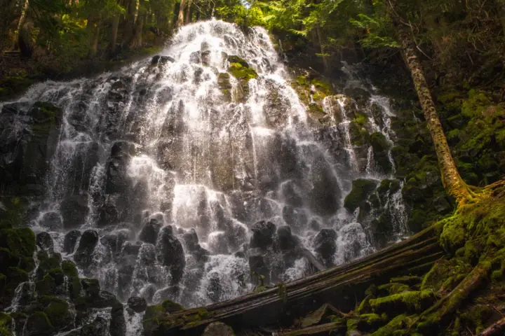
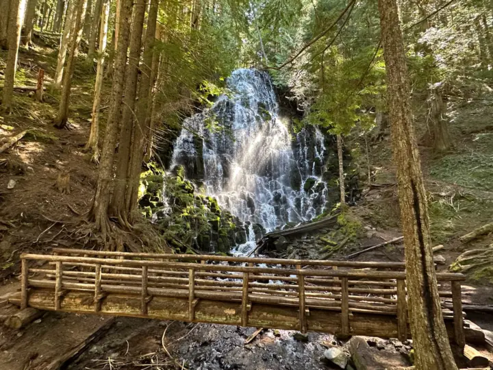
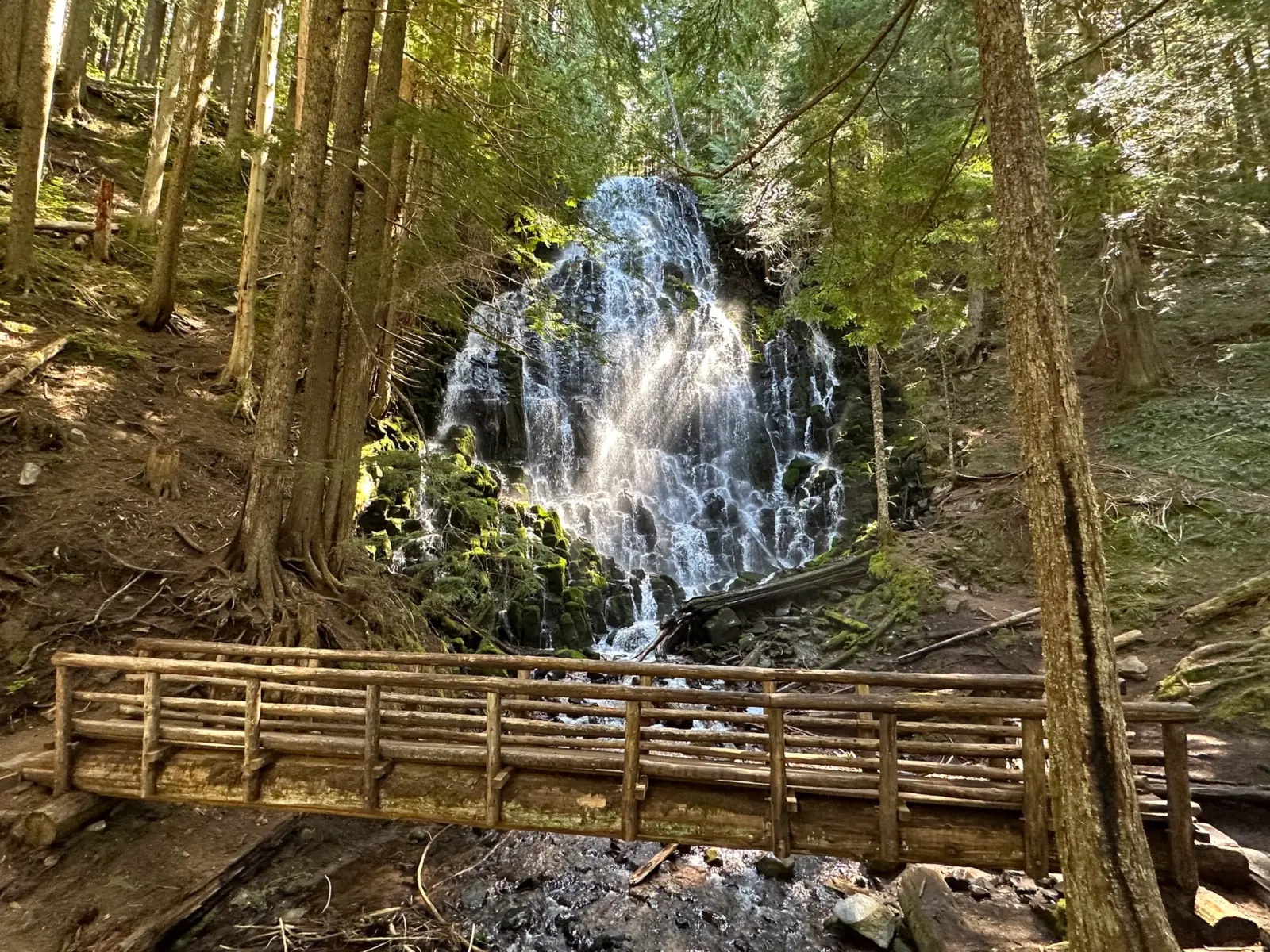
Ramona Falls is in the Mount Hood Wilderness, on the Zigzag Ranger District of Mt. Hood National Forest. The USFS calls it "the beloved and very popular Ramona Falls."
The hike follows the Sandy River, which the USFS says is a designated Wild and Scenic River. The USFS says signs of a volcanic debris flow from over 200 years ago are visible where the trail runs near the river.
The USFS pages we read give no height for the falls, so we list none.
About our map pins
Our falls pin is the USGS GNIS point for Ramona Falls, in Clackamas County. The trailhead pin uses the latitude and longitude the USFS lists for Ramona Falls Trailhead.
For another Mt. Hood falls, see Tamanawas Falls on the mountain's east slope, or browse all Oregon waterfalls.
Getting there and parking
The USFS directions: from Portland, follow US Highway 26 to Zigzag and turn north on Lolo Pass Road (Forest Road 18). Follow it four miles, then turn east (right) onto Forest Road 1825.
On FR 1825, go 0.6 mile, cross a bridge, then continue 1.7 miles to a junction. Bear left onto FR 1825-100 for 0.3 mile, then left onto FR 1825-024 to the lot (0.2 mile).
Road conditions
The USFS says the road to the trailhead is rough: "Drive slowly and carefully; high-clearance vehicles recommended." Its trail page says high-clearance vehicles are strongly recommended.
Winter road closure (Dec 1 to Apr 1)
The USFS roads table lists FR 1825 (Muddy Fork Rd) as "seasonally closed at MP 0.7 December 1 to April 1." The trailhead directions run past that point. By our reading, you cannot drive to the trailhead during the closure.
The Sandy River Trail page agrees: "Trail access is affected by a seasonal gate closure December 1 - April 1." The USFS does not say where the gate is or whether you can walk past it.
The USFS also says Lolo Pass Road (FR 18) gets large amounts of snow, is not maintained for winter travel and has no cell service.
Parking, fees and facilities
The trailhead lot holds more than 50 vehicles and can fill quickly on busy summer weekends, per the USFS. Restrooms are open May 1 to Oct 31, and potable water is not available.
The Mt. Hood Passes page lists Ramona Falls Trailhead at $5. The USFS trail guide, which is undated, says a Northwest Forest Pass is required May 1 to Oct 31. Check the Passes page before you go.
Map and nearby falls
Map loads as you scroll. Open in OpenStreetMap
OpenPartly open / seasonalUnconfirmedClosedLarger map
Ramona Falls Trail: the Sandy River crossing and the loop
The USFS calls it "this 7-mile roundtrip trail," with a gentle climb gaining 1,000 feet over the 3.5 miles to the falls. Its trail guide rates it "More Difficult."
The Sandy River crossing
From the trailhead, the Sandy River Trail #770 runs one mile east to where it crosses the Sandy River. "There is no bridge, nor will one be installed," the USFS says.
The USFS warns that hikers "must cross a glacial river with strong currents." Use extreme caution and know when to turn around. Its River Crossing Guide has tips.
The Sandy River Trail page, last updated Nov 18, 2025, mentions a bridge across the river. The Ramona Falls Trail page (Sept 18, 2026) and trailhead page (Mar 11, 2026) both say there is none, so we follow them.
The loop
About 1/4 mile after the crossing, the trail guide says, you reach the Ramona Falls loop. Hikers can go either way; the USFS says it is about the same distance.
The Pacific Crest Trail #2000 overlaps the route for a couple of miles. Equestrians stay on the southern side of the loop, above the Sandy River.
Sun and water
The USFS says there are large sections with no tree cover. Bring sun protection and plenty of water, since none is available at the trailhead.
Wilderness permits and group size
The USFS trail guide says wilderness permits are required May 15 to Oct 15, and group size is limited to 12, including stock. The guide is undated, so confirm with the district.
Dogs
The USFS says the trail is not recommended for children and pets. Its trail guide asks hikers to control pets at all times.
When to visit
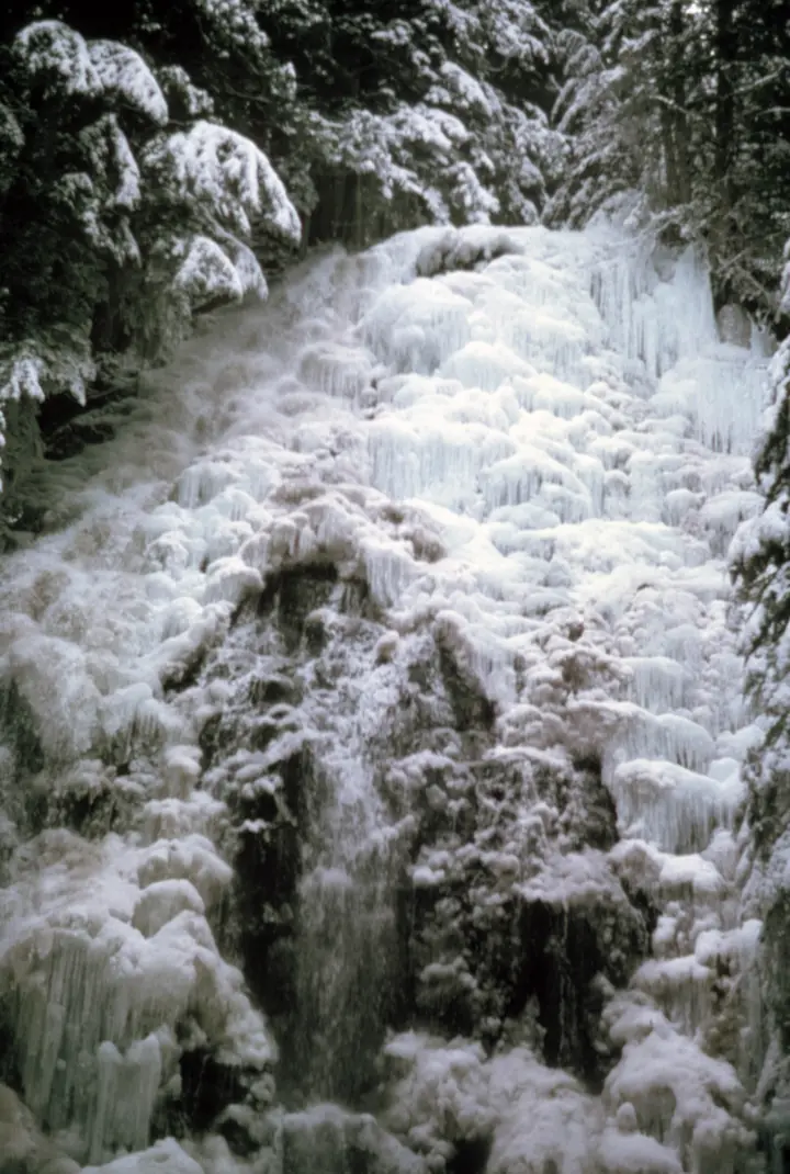
The USFS trail guide lists the trail as snow free from May to October.
Summer crowds
The trailhead lot can fill quickly on busy summer weekends, per the USFS. Restrooms are open only May 1 to Oct 31.
Winter
From Dec 1 to Apr 1, the USFS lists FR 1825 as seasonally closed at MP 0.7. Lolo Pass Road is not maintained for winter travel and has no cell service.
River levels
The Sandy River is glacier-fed. The USFS trail guide says hikers should be prepared for dangerous river conditions. Be ready to turn back or wait for a safer time.
Status checks
On Nov 8, 2026, no Mt. Hood alert named Ramona Falls Trail #797 or Sandy River Trail #770. The Sandy River Trail page also warns of down trees, hanging limbs, debris and trail damage.
| Trail | 7 miles round trip from Ramona Falls Trailhead, gaining about 1,000 feet over 3.5 miles to the falls (USFS). The route crosses the Sandy River, a glacial river with no bridge. The USFS calls the trail challenging |
|---|---|
| Difficulty | The USFS says the trail "is considered challenging and is not recommended for children and pets." Its trail guide rates it "More Difficult" |
| Entry fee | The Mt. Hood Passes page lists Ramona Falls Trailhead at $5. The USFS trail guide (undated) says a Northwest Forest Pass is required May 1 to Oct 31. |
| Permit / reservation | The USFS trail guide (undated) says wilderness permits are required May 15 to Oct 15, with group size limited to 12 |
| Parking | Large lot, 50+ vehicles; rough road |
| Dogs | Not recommended. The USFS says the trail "is not recommended for children and pets." Its trail guide asks hikers to control pets at all times |
| Swimming | No official rule found. The USFS pages we read do not mention swimming at the falls |
| Wheelchair / stroller | Not accessible, by our reading: the route crosses a glacial river with no bridge (USFS) |
| Restrooms | Restrooms at the trailhead May 1 to Oct 31 (USFS), so closed for the season by those dates. Potable water is not available. |
| Best time to visit | The USFS trail guide lists the trail as snow free May to October. FR 1825 is seasonally closed at MP 0.7 from Dec 1 to Apr 1 |
| Crowds | The USFS calls Ramona Falls "beloved and very popular"; the trailhead lot can fill on busy summer weekends |
| Managed by | USDA Forest Service, Mt. Hood National Forest (Zigzag Ranger District) |
Safety and swimming
Do not cross the Sandy River if it looks unsafe. The USFS says: "you are responsible for your own safety."
Watch for down trees, hanging limbs and debris on the Sandy River Trail, which the USFS flags in its current conditions.
The USFS roads page (updated Apr 29, 2026) says Zigzag Ranger District roads were hit by December 2025 winter storms. Downed trees, debris and landslides may be present, and remote areas frequently have no cell service.
Carry sun protection and water for the open sections; the USFS says there are large sections with no tree cover.
In an emergency, call 911. Our waterfall safety guide has more on staying safe near falls.
Conditions change: confirm with the official source before you go.
Where to stay near Ramona Falls
Compare hotels, cabins and rentals close to the falls around Zigzag.
See places to stay nearbyAffiliate link: we may earn a commission at no cost to you. Partners do not see or change our waterfall facts. Disclosure.
Photos
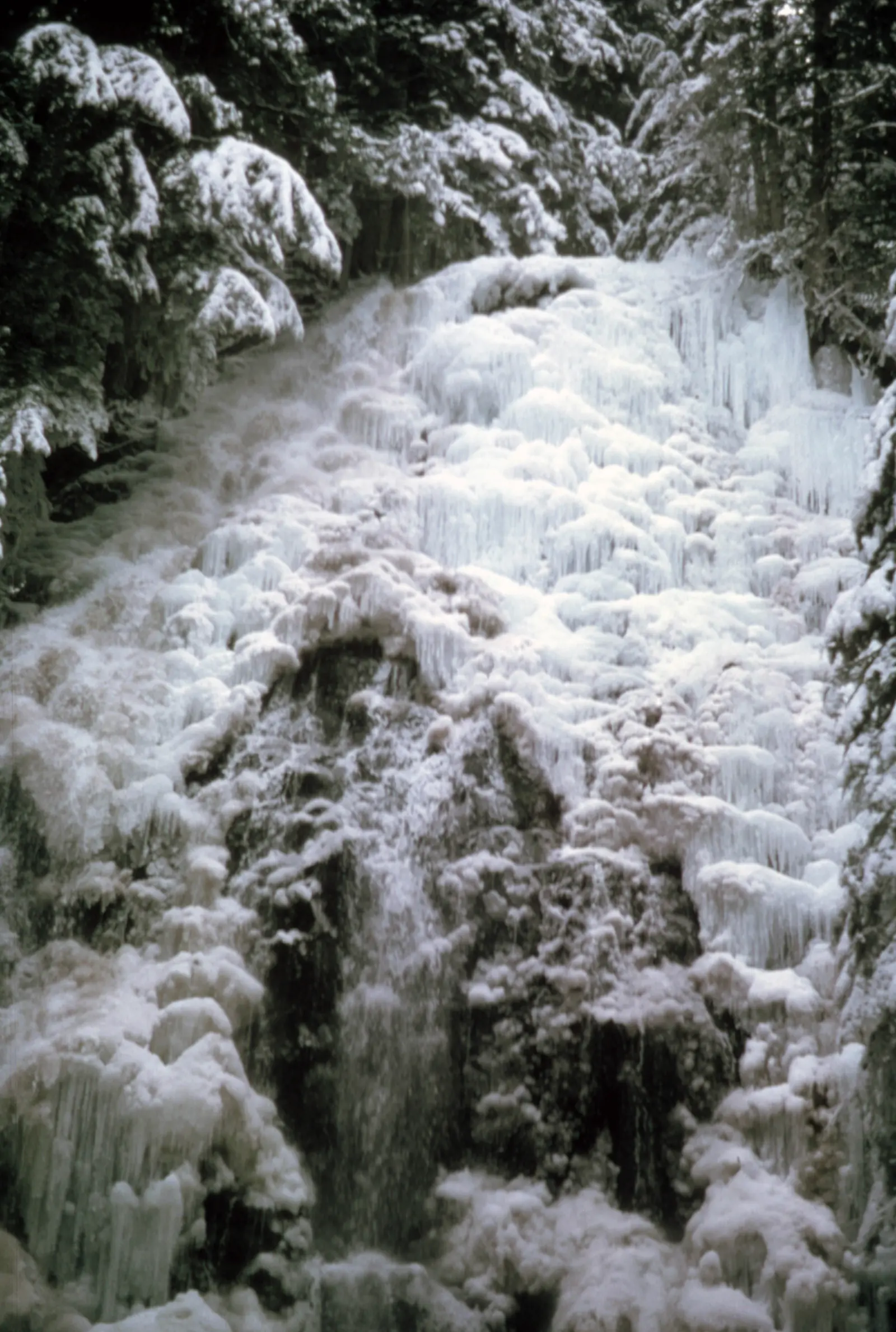
Ramona Falls FAQ
Is Ramona Falls open now?
As far as we can tell, yes (Nov 8, 2026). No Mt. Hood alert names the trail. But the USFS lists FR 1825, the road to the trailhead, as seasonally closed at MP 0.7 from Dec 1 to Apr 1.
How long is the Ramona Falls hike?
The USFS says it is a 7-mile round trip from Ramona Falls Trailhead, gaining about 1,000 feet over the 3.5 miles to the falls.
Is there a bridge over the Sandy River on the Ramona Falls trail?
No. The USFS says "there is no bridge, nor will one be installed." Hikers must cross a glacial river with strong currents.
Do you need a pass for Ramona Falls?
The Mt. Hood Passes page lists Ramona Falls Trailhead at $5. The undated USFS trail guide says a Northwest Forest Pass is required May 1 to Oct 31.
Can you drive to Ramona Falls Trailhead in winter?
Not by our reading of the USFS roads table. It lists FR 1825 as seasonally closed at MP 0.7 from Dec 1 to Apr 1, and the trailhead is farther along that road.
Can you bring dogs to Ramona Falls?
The USFS says the trail is not recommended for children and pets. Its trail guide asks hikers to control pets at all times.
Do you need a wilderness permit for Ramona Falls?
The undated USFS trail guide says wilderness permits are required May 15 to Oct 15, with group size limited to 12. Call the Zigzag Ranger District at 503-622-3191 to confirm.
Nearby waterfalls
 Tamanawas Falls9 mi straight-line, by our mathPartly openABOUT 100FT
 Tunnel Falls15 mi straight-line, by our mathOpen
 Punch Bowl Falls18 mi straight-line, by our mathOpen35FT
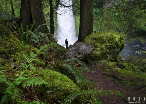 Wahclella Falls18 mi straight-line, by our mathOpen60FT
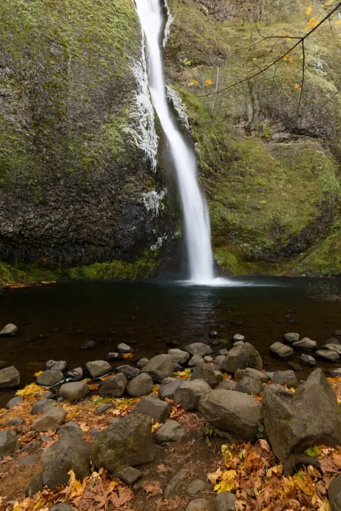 Horsetail Falls20 mi straight-line, by our mathOpen176FT
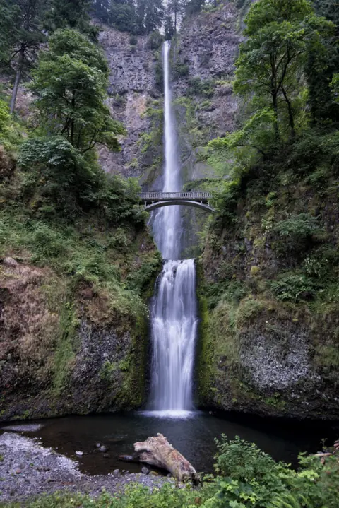 Multnomah Falls21 mi straight-line, by our mathOpen620FT
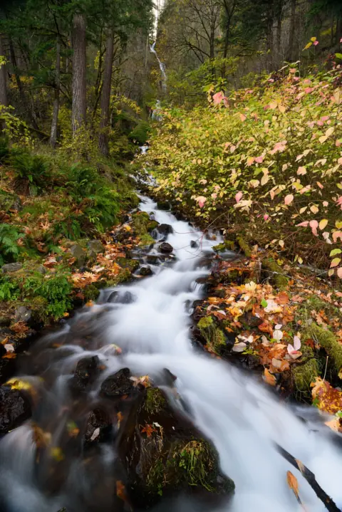 Wahkeena Falls22 mi straight-line, by our mathOpen242FT
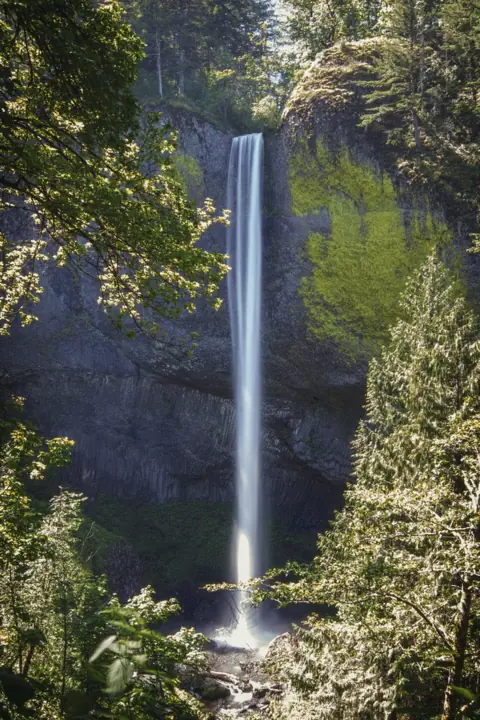 Latourell Falls24 mi straight-line, by our mathOpen224FT
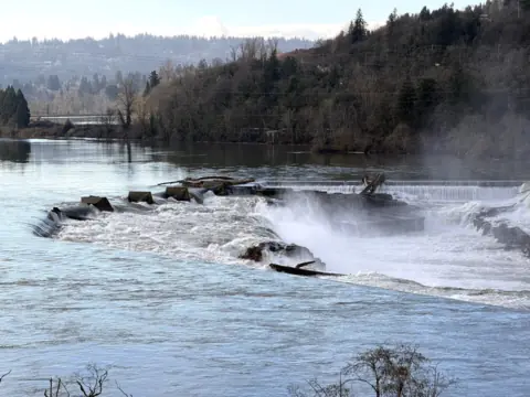 Willamette Falls41 mi straight-line, by our mathPartly open40FT
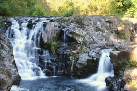 Moulton Falls43 mi straight-line, by our mathOpen10FT
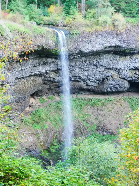 South Falls (Silver Falls)55 mi straight-line, by our mathOpen177FT
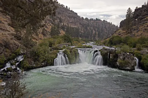 Steelhead Falls71 mi straight-line, by our mathOpen
City guides: Waterfalls near Portland, OR · Waterfalls near Bend, OR
Sources
- USDA Forest Service: Ramona Falls Trail #797 (current conditions, river crossing, distance, directions; updated Sept 18, 2026)
- USDA Forest Service: Ramona Falls Trailhead (parking, restrooms, coordinates; updated Mar 11, 2026)
- USDA Forest Service: Ramona Falls Trail #797 Recreation Opportunity Guide (PDF, undated; pass, permits, snow-free season)
- USDA Forest Service: Sandy River Trail #770 (seasonal gate note, current conditions; updated Nov 18, 2025)
- USDA Forest Service: Mt. Hood National Forest Roads (FR 1825 and FR 18 winter conditions; updated Apr 29, 2026)
- USDA Forest Service: Mt. Hood Passes (fee list shows "Ramona Falls Trailhead $5"; read via USFS site search, Nov 8, 2026)
- USDA Forest Service: Mt. Hood alerts (no Ramona Falls or Sandy River Trail alert; read Nov 8, 2026)
- USDA Forest Service: River Crossing Guide
- USGS GNIS: Ramona Falls, feature ID 1148191 (coordinates, Clackamas County)
Last verified Nov 8, 2026 by The Waterfall Guide editorial team. Conditions change: confirm with USDA Forest Service, Mt. Hood National Forest (Zigzag Ranger District) before you go. Spotted something out of date? Report a correction.