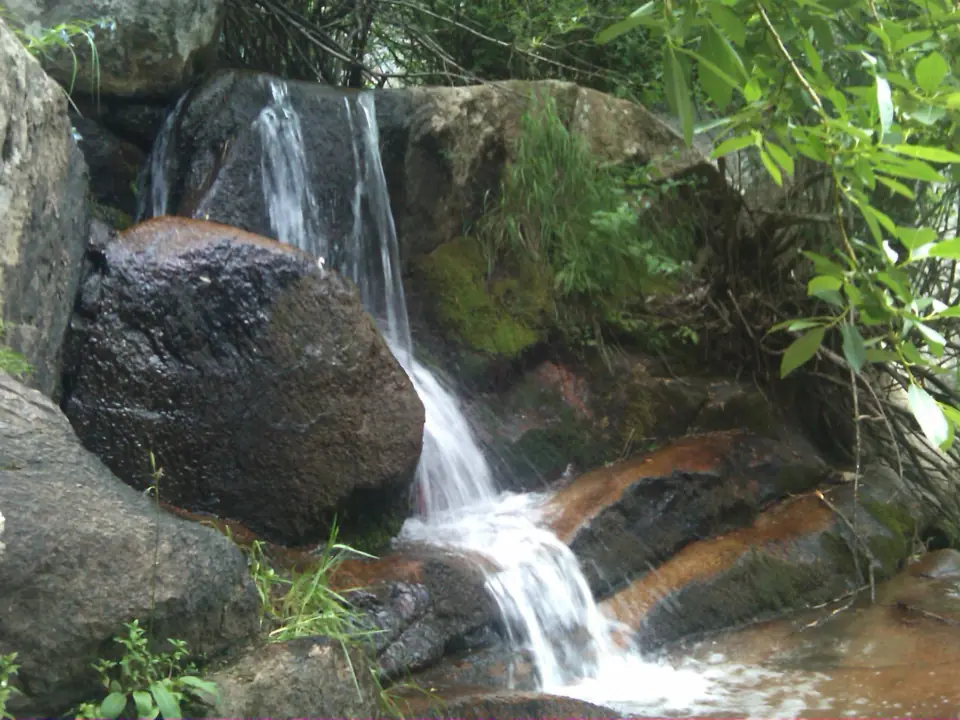
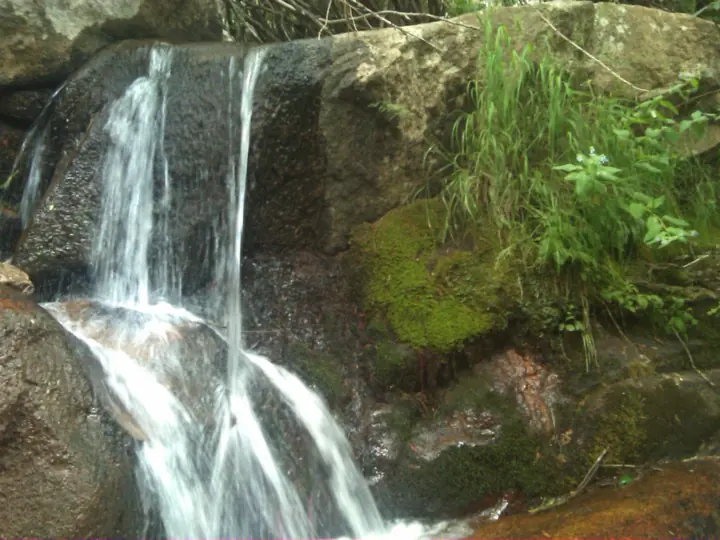
Right now
Status note (Nov 7, 2026): Open, as far as we can tell: on Nov 7, 2026 the Arapaho and Roosevelt National Forests alerts list named no closure for Maxwell Falls. Call 970-295-6600 before you go. What the status labels mean
Maxwell Falls is on Maxwell Creek in the Arapaho and Roosevelt National Forests, south of Evergreen, Colorado. The Forest Service calls the trail "one of the easiest trails on the Clear Creek Ranger District." Two trailheads serve it, lower and upper, and neither has restrooms. The falls are at their best in spring snow runoff, per the Forest Service.
About Maxwell Falls
The Forest Service's Clear Creek Ranger District manages the Maxwell Falls Trail, which follows Maxwell Creek south of Evergreen, Colorado.
"It follows Maxwell Creek, and the waterfalls are at their best in the spring when the snow runoff is plentiful," the Forest Service trail page says.
Two Forest Service trailheads lead to the falls: Lower Maxwell Falls Trailhead and Upper Maxwell Falls Trailhead. Both are reached via Brook Forest Road.
How tall is Maxwell Falls?
We found no agency height figure for Maxwell Falls, and no other source for one, so we don't give a figure.
About the map pin
We found no official coordinates for the falls. The map pin is approximate: it uses the geotag photographer Craig Talbert added to his July 2010 photos, 39.568166, -105.377684.
The Directions button routes to the Lower Maxwell Falls Trailhead instead, using the Forest Service's coordinates.
For other Colorado falls, see Ouzel Falls and Alberta Falls in Rocky Mountain National Park. Boulder Falls in Boulder Canyon is closed; its page explains why.
Getting there and parking
Both Maxwell Falls trailheads are reached via Brook Forest Road, south of Evergreen; the upper one is off Black Mountain Road, per the Forest Service.
Directions to Lower Maxwell Falls Trailhead
"South of Evergreen on Highway 73, take Brook Forest Road for three miles," the Forest Service says. It places the Lower Maxwell Falls Trailhead at 39.5822, -105.3608.
Directions to Upper Maxwell Falls Trailhead
"To access the upper trailhead, continue to Black Mountain Road, turn left and drive another one and a quarter mile," the directions continue.
The Forest Service places the Upper Maxwell Falls Trailhead at 39.5622, -105.3767. We found no official drive time to either trailhead, so we don't give one.
Street addresses
The Colorado Mountain Club (CMC) lists 7627 S Brook Forest Rd, Evergreen, CO 80439 for the lower trailhead.
For the upper trailhead, CMC gives 8399 Black Mountain Dr #8101, Conifer, CO 80433. The Forest Service pages give coordinates, not street addresses.
Parking
The Forest Service trailhead pages we read do not describe parking.
The 2021 Maxwell Falls restriction order, covered below, lists "parking or leaving a vehicle in violation of posted instructions" among its prohibitions.
Fees and parking permits
No fee is listed on the Forest Service pages we read. CMC's route page has a "Parking Permit Required" field, but it links only to a general Forest Service permits page.
We found no official source that states a fee or says parking is free. Call 970-295-6600, the contact number on the Forest Service alert, before you go.
Restrooms
"Restrooms are not available at this site," say the Forest Service pages for both trailheads. Plan ahead before you leave town.
Map and nearby falls
Map loads as you scroll. Open in OpenStreetMap
OpenPartly open / seasonalUnconfirmedClosedLarger map
Maxwell Falls Trail: difficulty, length and trail numbers
The Forest Service calls Maxwell Falls "one of the easiest trails on the Clear Creek Ranger District" and "a very enjoyable hike." Its trail page lists an elevation of 8,400 feet.
Trail length
The Forest Service lower trail page gives no length, and we found no other official figure. So we don't give a distance.
CMC's route page lists a high point of 8,431 feet. Neither source gives an elevation gain.
Lower and upper routes
The Lower Maxwell Falls Trailhead "provides access to the Maxwell Falls Trail," per the Forest Service. The trail follows Maxwell Creek.
The upper trailhead page says it also "provides access to the Maxwell Falls Trail (#111)." The Forest Service pages we read do not compare the two routes.
Trail #39 or #111?
The Forest Service numbers the trail two ways. The lower trailhead page calls it the Maxwell Falls Trail (#39).
The lower trail page and the upper trailhead page both say #111. We found no Forest Service note explaining the difference.
Dogs
"Jefferson County law requires dogs be on a leash at all times while on this trail," CMC says. Keep your dog leashed on the trail.
The Forest Service alerts list also names a forest-wide occupancy and use order, ARP-2024-03. Its summary says the order covers "dog leash requirements" but does not give the details.
Accessibility
We found no accessibility information for the trail or either trailhead.
When to visit
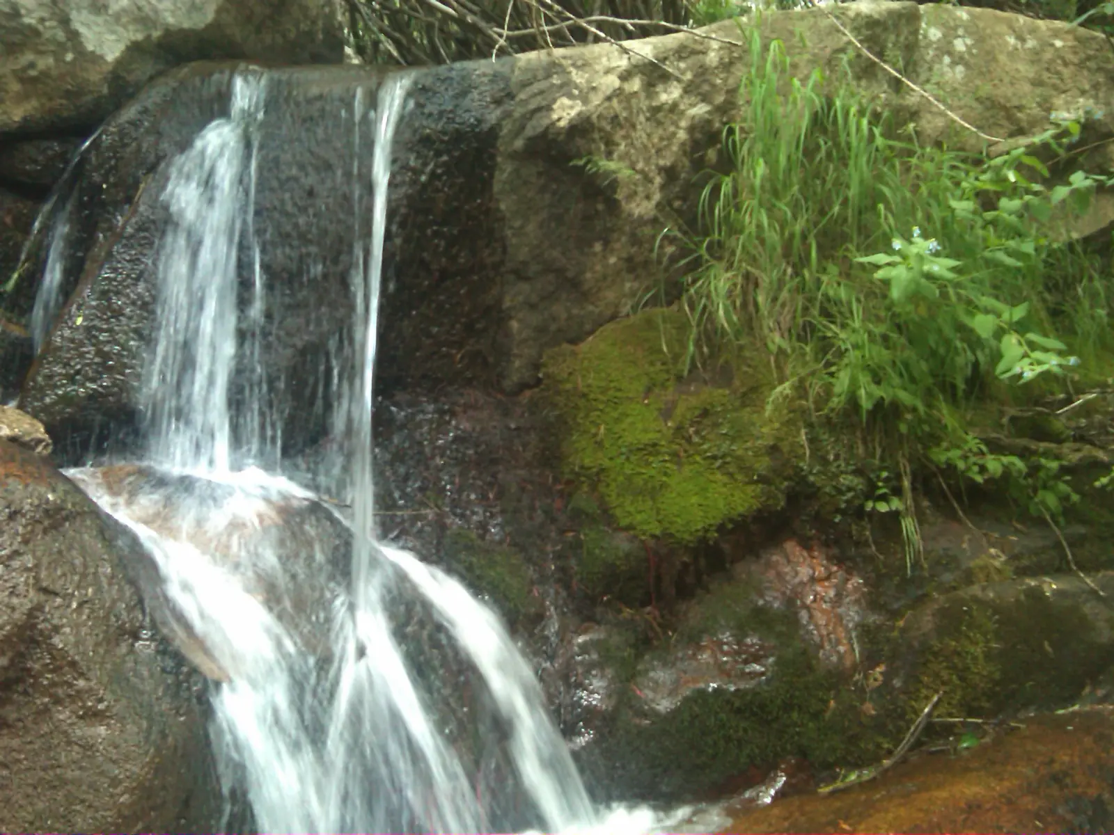
Spring is the time to go: the Forest Service says the falls "are at their best in the spring when the snow runoff is plentiful." The photos above were taken in July 2010.
For more falls around the state, see our Colorado waterfalls guide.
November and winter
The lower trailhead page lists Winter Sports among its recreation opportunities, along with hiking. We found no Forest Service statement on winter road conditions or plowing at either lot.
On November 7, 2026, no alert on the Arapaho and Roosevelt list named a Maxwell Falls closure. Call 970-295-6600 for current conditions. One current alert, the Salt Cabin Prescribed Fire Closure dated November 1, 2026, does not name its location in the list summary. Ask about it when you call.
Fire restrictions this season
"There are currently no fire restrictions in place on the Arapaho and Roosevelt National Forests and Pawnee National Grassland," a Forest Service alert dated September 21, 2026 reads.
That alert is forest-wide. The separate 2021 Maxwell Falls order, whose status is unclear (see below), lists campfires and stove fires among its prohibitions.
The 2021 Maxwell Falls restriction order
In 2021 the Forest Service issued Order ARP-CCRD-2021-01 for Maxwell Falls and Cub Creek. Its alert lists a start date of May 11, 2021.
"The Restricted Area includes NFS lands surrounding Lower and Upper Maxwell Falls Trails and the beginning of the Cub Creek Trail," the alert says.
The order lists four prohibitions there. The first is camping. The second is "building, maintaining, attending or using a fire, campfire, or stove fire."
The third is "being in the area after sundown or before sunrise." The fourth is "parking or leaving a vehicle in violation of posted instructions."
Does the order still apply?
The order says it "will remain in effect for five years from the date of signature or until rescinded, whichever occurs first." Its alert lists an end date of May 11, 2026.
That date has passed. Yet the alert was still on the Forest Service alerts list on November 7, 2026, and no renewal order was listed.
CMC's route page, read Nov 4, 2026, calls Maxwell Falls "a day-use-only area" and says camping, campfires and overnight parking are prohibited.
These pages don't settle whether the four rules still apply. Follow any posted signs at the trailheads, and call 970-295-6600 to check before you go.
| Trail | The Forest Service calls it "one of the easiest trails on the Clear Creek Ranger District" and lists an elevation of 8,400 feet. Its lower trail page gives no length |
|---|---|
| Difficulty | No formal rating. The Forest Service calls it "one of the easiest trails on the Clear Creek Ranger District" |
| Entry fee | No fee is listed on the Forest Service pages we read. CMC's route page has a "Parking Permit Required" field that links to a general Forest Service permits page. Call 970-295-6600 to confirm |
| Parking | Not described by the Forest Service |
| Dogs | "Jefferson County law requires dogs be on a leash at all times while on this trail," per the Colorado Mountain Club. The Forest Service alerts list also names a forest-wide order, ARP-2024-03, whose summary mentions dog leash requirements without details |
| Swimming | We found no official swimming rule for Maxwell Creek. Stay back from moving water, especially during spring runoff |
| Wheelchair / stroller | We found no accessibility information for the trail or either trailhead |
| Restrooms | "Restrooms are not available at this site," per the Forest Service pages for both the lower and upper trailheads |
| Best time to visit | Spring, when "the snow runoff is plentiful" (Forest Service) |
| Crowds | We found no crowd figure |
| Managed by | USDA Forest Service, Arapaho and Roosevelt National Forests, Clear Creek Ranger District |
Safety and swimming
We found no official safety warning specific to Maxwell Falls. The Forest Service says the falls are at their best in spring runoff, so stay back from the creek's edge then.
Swimming
We found no official swimming rule for Maxwell Creek. Wet rock beside moving water is slippery, so keep children and dogs away from the edge.
Bears and food storage
The Arapaho and Roosevelt alerts list includes a Bear-Resistant Food Storage Required order, ARP-2024-04. The list summary does not say which areas it covers, so pack out all food and trash.
Recreational shooting
A permanent recreational shooting order, dated August 13, 2025, applies in the Canyon Lakes, Clear Creek and Sulphur Ranger Districts, per the Forest Service alerts list.
The list summary does not say whether the Maxwell Falls area is inside the order's described areas. Call 970-295-6600 with questions.
No restrooms; no water listed
Neither trailhead has restrooms, per the Forest Service, and the pages we read list no drinking water. Bring what you need.
In an emergency, call 911. Our waterfall safety guide has more on creek and rock hazards.
Conditions change: confirm with the official source before you go.
Where to stay near Maxwell Falls
Compare hotels, cabins and rentals close to the falls around Evergreen.
See places to stay nearbyAffiliate link: we may earn a commission at no cost to you. Partners do not see or change our waterfall facts. Disclosure.
Photos
Maxwell Falls FAQ
Where is Maxwell Falls?
On Maxwell Creek in the Arapaho and Roosevelt National Forests, south of Evergreen, Colorado. "South of Evergreen on Highway 73, take Brook Forest Road for three miles" to the lower trailhead, the Forest Service says.
How long is the Maxwell Falls hike?
The Forest Service lower trail page gives no length. It lists an elevation of 8,400 feet.
Is Maxwell Falls open?
As far as we can tell, yes. On November 7, 2026, the Arapaho and Roosevelt alerts list named no closure for Maxwell Falls. One prescribed fire closure did not name its location. Call 970-295-6600 to confirm.
Is there a fee or parking permit at Maxwell Falls?
No fee is listed on the Forest Service pages we read. CMC's route page has a "Parking Permit Required" field linking to a general Forest Service permits page. Call 970-295-6600 to confirm.
Can you visit Maxwell Falls after dark?
Order ARP-CCRD-2021-01 lists "being in the area after sundown or before sunrise" among its prohibitions. Its listed end date, May 11, 2026, has passed, but the alert is still listed. We can't confirm whether the rule still applies. Follow posted signs and call 970-295-6600.
Are dogs allowed at Maxwell Falls?
Yes, on a leash. "Jefferson County law requires dogs be on a leash at all times while on this trail," CMC says.
How tall is Maxwell Falls?
We found no agency height figure for Maxwell Falls, and no other source for one.
Nearby waterfalls
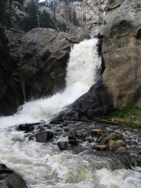 Boulder Falls30 mi straight-lineClosed70FT APPROX.
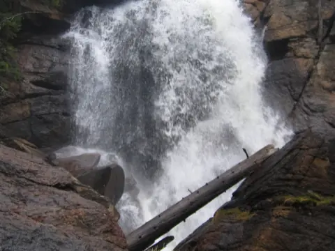 Ouzel Falls45 mi straight-lineOpen
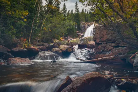 Alberta Falls53 mi straight-lineOpen
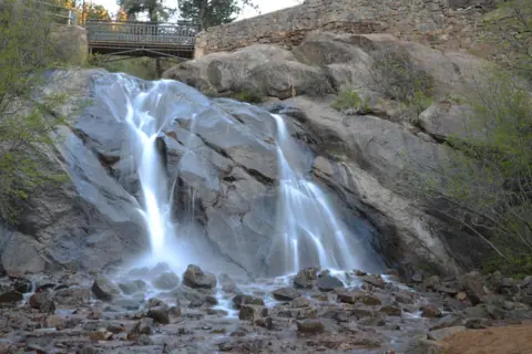 Helen Hunt Falls60 mi straight-lineOpen35FT
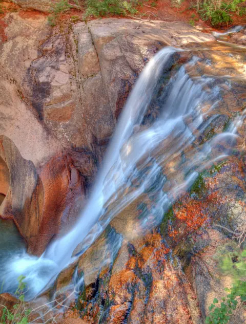 Seven Falls61 mi straight-lineOpen181FT
City guides: Waterfalls near Denver, CO
Sources
- USFS Arapaho and Roosevelt NF: Maxwell Falls Lower Trail (difficulty wording, Maxwell Creek, spring runoff, elevation, Trail #111; updated Sep 9, 2025; read Nov 7, 2026)
- USFS Arapaho and Roosevelt NF: Lower Maxwell Falls Trailhead (directions, coordinates, no restrooms, Trail #39; updated Jul 30, 2026; read Nov 7, 2026)
- USFS Arapaho and Roosevelt NF: Upper Maxwell Falls Trailhead (directions, coordinates, no restrooms, Trail #111; updated Jul 30, 2026; read Nov 7, 2026)
- USFS Arapaho and Roosevelt NF: Maxwell Falls and Cub Creek Occupancy and Use Restrictions, Order ARP-CCRD-2021-01 (prohibitions, start and end dates; updated Mar 6, 2025; read Nov 7, 2026)
- USFS Arapaho and Roosevelt NF: Alerts list (no Maxwell Falls closure, fire restrictions alert of Sep 21, 2026, shooting order, ARP-2024-03, ARP-2024-04; read Nov 7, 2026)
- Colorado Mountain Club: Maxwell Falls route page (trailhead addresses, high point, dog leash law, day-use rules, parking permit field; read Nov 4, 2026)
- Flickr: Craig Talbert, "Maxwell Falls (25)", July 17, 2010 (photographer's geotag used for the approximate map pin)
- Flickr: Craig Talbert, "Maxwell Falls (23)", July 17, 2010 (CC BY 2.0 photo)
Last verified Nov 7, 2026 by The Waterfall Guide editorial team. Conditions change: confirm with USDA Forest Service, Arapaho and Roosevelt National Forests, Clear Creek Ranger District before you go. Spotted something out of date? Report a correction.