Right now
Right now as of Oct 27, 2026
- Permit No permit needed. Entry fee: $5 per vehicle.
Status note (Oct 27, 2026): Open dawn to dusk. Summer irrigation diversions shrink the falls, and by late summer and fall they can look nearly dry. The city may close the park temporarily for poor road conditions. What the status labels mean
Shoshone Falls is a 212-foot waterfall on the Snake River near Twin Falls, Idaho, run by the City of Twin Falls. Entry is $5 per vehicle during the fee season, and as listed in October 2026 the park is open dawn to dusk all year. Spring is the time to go: summer irrigation diversions shrink the falls, and by late summer and fall they can look nearly dry.
About Shoshone Falls
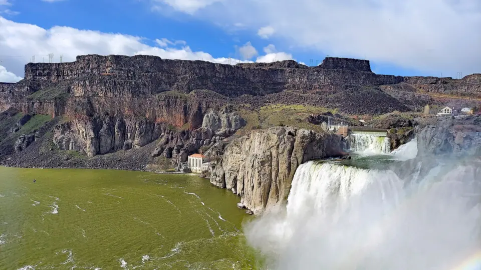
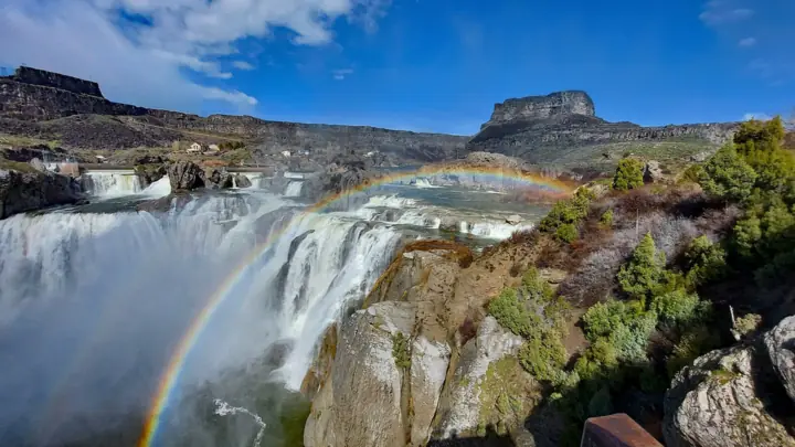
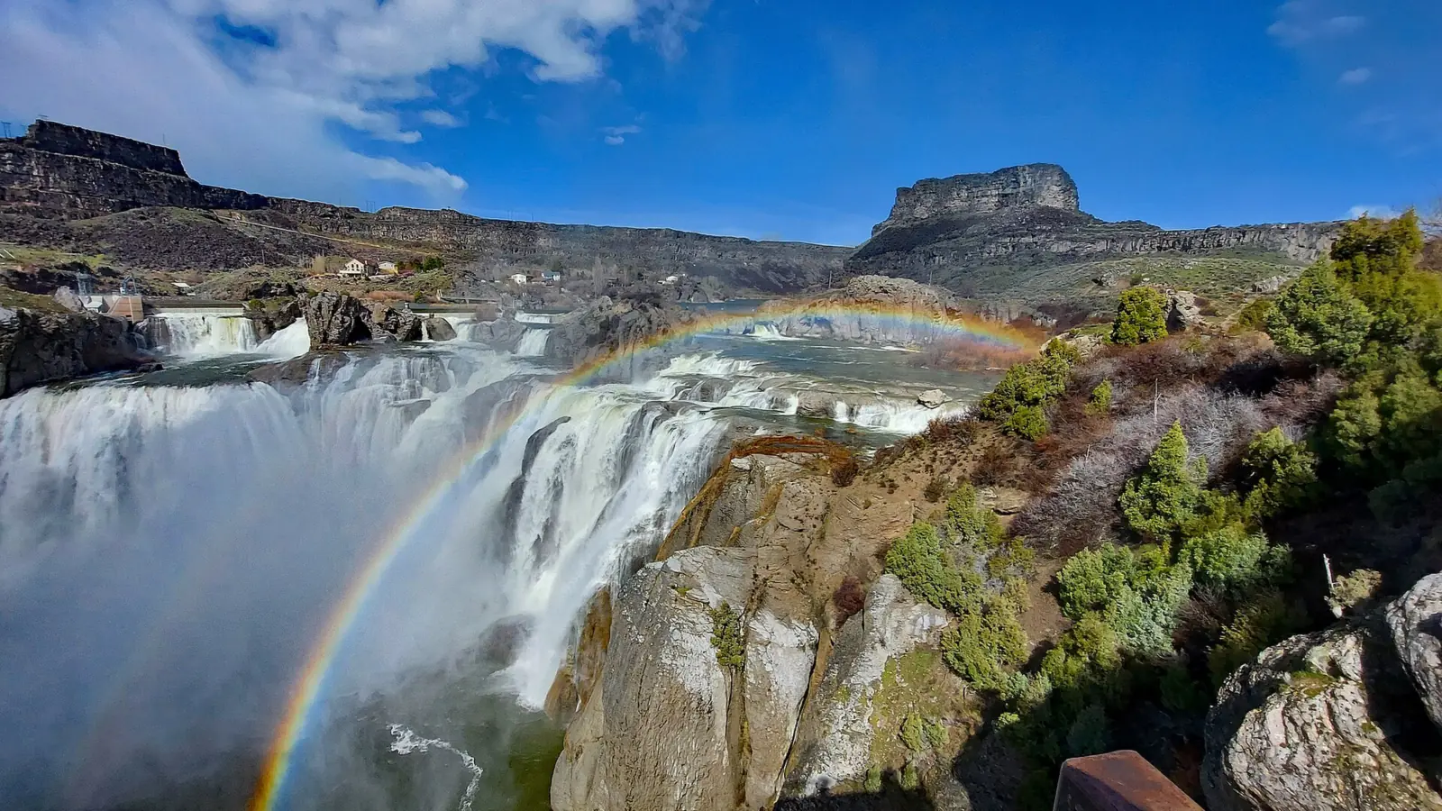
Shoshone Falls drops 212 feet over a rim about 900 feet wide, according to the City of Twin Falls; Wikipedia gives the width as 925 feet. The city says it surpasses the height of Niagara Falls, and Wikipedia puts it 45 feet higher. The city adds that it's often called the Niagara of the West.
The river here is heavily managed. Milner Dam, about 20 miles upstream per the city (24 miles per Wikipedia), diverts Snake River water for irrigation, per Wikipedia.
When Milner Dam's gates closed in March 1905, the falls went dry that night. Today Idaho Power is required to keep a minimum daytime "scenic flow" of 300 cubic feet per second (cfs) from April through Labor Day, per Wikipedia. Idaho Power says that depends on enough water reaching the falls from upstream, the Missoula Current reported.
The canyon also has a stunt-history footnote. About 1 mile west of the falls, Evel Knievel attempted his Snake River Canyon rocket jump on September 8, 1974, Wikipedia notes.
Looking for more big Idaho falls? Our Mesa Falls guide covers the pair of falls near Ashton, which were closed for construction as of Oct 2026.
Getting there and parking
Shoshone Falls Park is at 4155 Shoshone Falls Grade Road, Twin Falls, ID 83301, per the city. Wikipedia places the falls about 3 miles northeast of the city of Twin Falls.
The park sits on the Snake River, on the line between Twin Falls and Jerome counties. You drive in to the park entrance, where a booth collects the vehicle fee in season.
Fee and passes
The fee is $5 per car from March 1 through the fall (City of Twin Falls, as listed Oct 2026). The city gives no exact end date. The same fee gets you into Dierkes Lake. A $25 season pass and a $30 book of 20 passes are sold at the Parks & Recreation office and the ticket booth.
No ticket is needed beyond the vehicle fee.
Planning a longer Idaho trip? The Idaho waterfalls hub lists more falls around the state, including Jump Creek Falls in Owyhee County.
Parking, RVs and accessibility
The City of Twin Falls says the closest parking spot is just 75 feet from the main viewing platform. The park has five pull-through RV spots that fit most RVs and tour buses, for day use only (City of Twin Falls, as listed Oct 2026).
Shoshone Falls is ADA accessible, the city says, with several places to view the falls without stairs. There is no overnight camping or overnight parking at Shoshone Falls or Dierkes Lake.
Map and nearby falls
Map loads as you scroll. Open in OpenStreetMap
OpenPartly open / seasonalUnconfirmedClosedLarger map
Overlook and canyon rim trail
There's no real hike required. The main overlook is close to the parking area, and a canyon rim trail leads to more viewpoints along the gorge. The city doesn't publish the rim trail's length, so walk as far as you like and turn back when you're ready.
Families can pair the falls with Dierkes Lake on the same vehicle fee. Dogs are welcome on a leash in Shoshone Falls Park, but the city doesn't allow them in Dierkes Lake's grassy area.
When to visit
The City of Twin Falls says spring, usually April to June, is the best time to visit Shoshone Falls. In a typical year, the city says, spring flows peak between 10,000 and 12,000 cfs.
In years with heavy snowfall, the city says flows can top 20,000 cfs. The flow chart on this page shows monthly averages from a USGS gauge, so it runs well below those peak days.
Flows vary a lot from year to year. In May 2026, a Missoula Current report citing Idaho Power data said flows were rising from about 400 cfs to about 3,700 cfs through May 18.
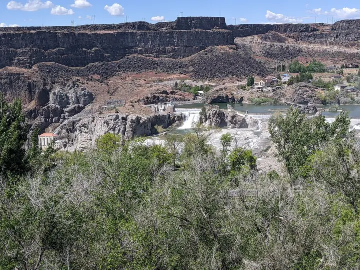
In the summer months, the city says, part of the river is diverted for irrigation, and the falls get smaller. By late summer and fall they can look nearly dry.
The 300 cfs daytime scenic minimum only applies from April through Labor Day, per Wikipedia. A September or October visit may show very little water.
Check the flow today
The City of Twin Falls page links to a live YouTube webcam of the falls. Check it before you drive out, especially from late summer on.
For numbers, USGS gauge 13090000 on the Snake River near Kimberly, the nearest long-record gauge, posts streamflow. Treat it as a guide, not an exact reading of the water going over the brink.
Hours and closures
The park is open dawn to dusk year-round. The city may close it temporarily when road conditions are poor, so check the city page before you drive out.
When is the water highest?
At a USGS stream gauge about 2.1 mi from the falls, the flow averages highest in April and lowest in September, based on 30 complete years of records between 1994 and 2024.
Show the numbers
| Month | Average flow (cfs) |
|---|---|
| January | 2,549 |
| February | 2,828 |
| March | 3,750 |
| April | 4,727 |
| May | 3,885 |
| June | 3,984 |
| July | 2,159 |
| August | 1,326 |
| September | 1,039 |
| October | 1,144 |
| November | 1,514 |
| December | 2,025 |
| Height | 212 ftNote: rim about 900 ft wide per the city, 925 ft per Wikipedia; 45 ft taller than Niagara per Wikipedia |
|---|---|
| Trail | Overlook near the parking area, plus a canyon rim trail with more viewpoints (length not published) |
| Difficulty | Easy |
| Entry fee | $5 per vehicle, which also covers Dierkes Lake, March 1 through the fall (City of Twin Falls, as listed Oct 2026) |
| Permit / reservation | None needed |
| Parking | Parking near the overlook; $5 vehicle fee in season |
| Hours / season | Dawn to dusk, year-round (City of Twin Falls) |
| Dogs | Allowed on a leash; not allowed in Dierkes Lake's grassy area |
| Wheelchair / stroller | Yes. The city says the falls are ADA accessible, with several viewing spots reached without stairs. |
| Walk behind the falls | No |
| Best time to visit | Spring (April-June) for snowmelt flow; flow is often minimal in fall |
| Managed by | City of Twin Falls Parks and Recreation |
Safety and swimming
Don't enter the river near Shoshone Falls. The city's page doesn't state a swimming rule at the falls, and we couldn't verify one.
Stay on the overlook and the rim trail, and behind any barriers. Keep children within reach and dogs on a short leash near the canyon edge.
Conditions change: confirm with the City of Twin Falls before you go. For general tips, read our waterfall safety guide.
Where to stay near Shoshone Falls
Compare hotels, cabins and rentals close to the falls around Twin Falls.
See places to stay nearbyAffiliate link: we may earn a commission at no cost to you. Partners do not see or change our waterfall facts. Disclosure.
Photos

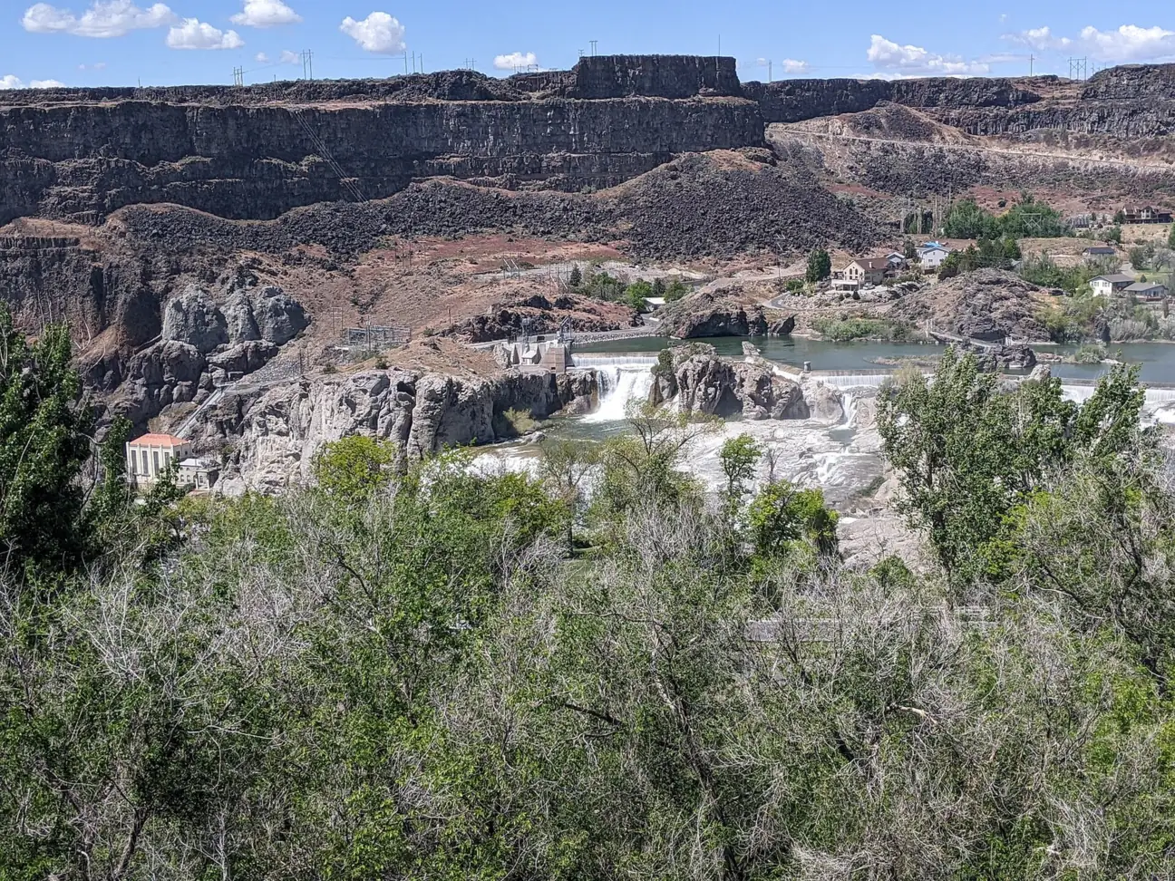

Shoshone Falls FAQ
How much does it cost to get into Shoshone Falls?
$5 per vehicle, which also covers Dierkes Lake, according to the City of Twin Falls (as listed Oct 2026). A season pass is $25, and a book of 20 passes is $30. The fee applies from March 1 through the fall.
When is the best time to see Shoshone Falls?
Spring, when snowmelt is high, usually April to June. The city says typical spring flows are 10,000 to 12,000 cfs. In summer, water is diverted for irrigation, and by late summer and fall the falls can be nearly dry.
Why is Shoshone Falls dry?
Upstream dams, including Milner Dam about 20 to 24 miles upstream, divert Snake River water for irrigation and hydropower. Per Wikipedia and Idaho Power, at least 300 cfs must still flow over the falls by day from April through Labor Day, when upstream flows allow. After that, flow can drop much lower.
How tall is Shoshone Falls?
212 feet, per the city, which says it surpasses the height of Niagara Falls. Wikipedia puts it 45 feet higher than Niagara. The rim is about 900 feet wide.
Is Shoshone Falls open?
Yes. The city says the park is open dawn to dusk, all year. Bad road conditions can force a temporary closure. In fall the park is open, but the falls can look nearly dry.
Are Twin Falls and Shoshone Falls the same thing?
No. Twin Falls is a city and also a separate waterfall on the Snake River. Wikipedia places Shoshone Falls about 2 miles downstream from the Twin Falls waterfall and about 3 miles northeast of the city.
How can I check Shoshone Falls flow today?
The City of Twin Falls page links to a live YouTube webcam of the falls. For numbers, USGS gauge 13090000 on the Snake River near Kimberly, the nearest long-record gauge, posts streamflow.
Where is Shoshone Falls?
In Shoshone Falls Park, 4155 Shoshone Falls Grade Road, Twin Falls, Idaho, per the city. Wikipedia puts it about 3 miles northeast of the city of Twin Falls, on the Snake River.
Nearby waterfalls
No other waterfalls within 75 miles are on the site yet.
More waterfalls to explore
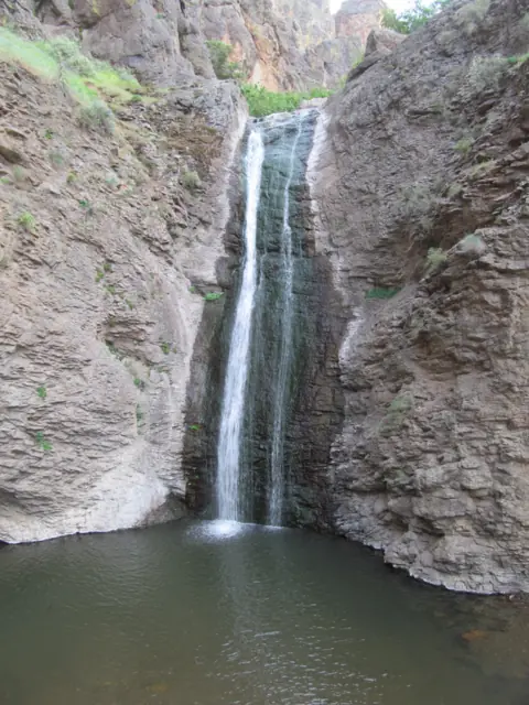 Jump Creek FallsIdaho · 141 mi straight-lineUnconfirmed60FT
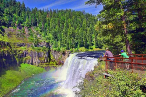 Mesa FallsIdaho · 189 mi straight-lineClosed114FT
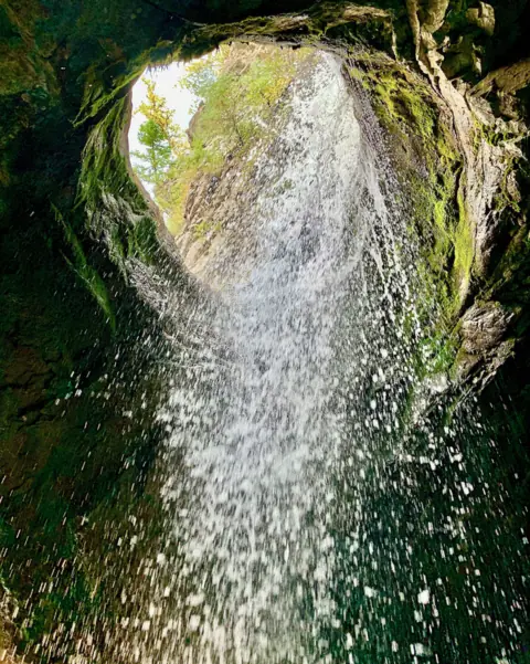 Donut FallsUtah · 196 mi straight-lineOpen
On these lists: Dog-friendly waterfalls · Roadside waterfalls
Sources
- City of Twin Falls: Shoshone Falls
- Wikipedia: Shoshone Falls
- Missoula Current: Shoshone Falls flows (May 2026)
- City of Twin Falls: Shoshone Falls live webcam (YouTube)
- USGS 13090000: Snake River near Kimberly, ID
Last verified Oct 27, 2026 by The Waterfall Guide editorial team. Conditions change: confirm with City of Twin Falls Parks and Recreation before you go. Spotted something out of date? Report a correction.