Right now
Right now as of Oct 28, 2026
- Permit No permit needed. Entry fee: $10 per vehicle (summer).
Status note (Oct 28, 2026): Open. The Forest Service trailhead page lists the site as open. Order #04-18-26-744 allows temporary trail-work closures on the Donut Falls Connector and nearby trails from Aug 20 to Nov 30, 2026, lasting minutes to days. What the status labels mean
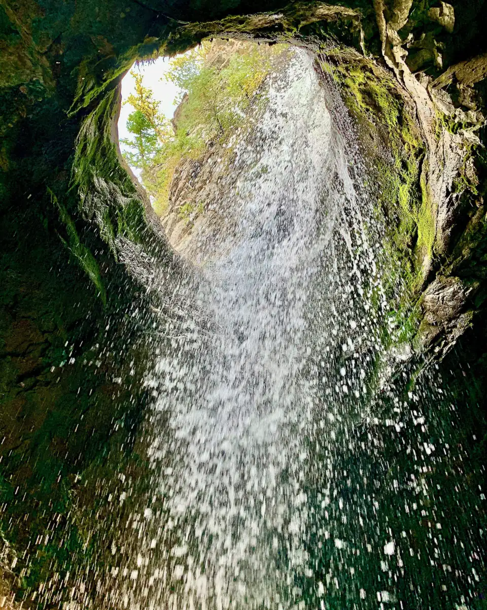
Donut Falls is a waterfall in Big Cottonwood Canyon where the water drops through a hole in a rock roof. Visit Utah puts the hike at about 1.6 miles round trip with 200 to 300 feet of gain. The summer fee is $10 per vehicle for 3 days, paid cashless. Dogs aren't allowed, and the Forest Service bans swimming and wading in this protected watershed. The Forest Service lists the trailhead as open (checked Oct 28, 2026).
About Donut Falls
At Donut Falls, the water drops through a hole in a rock roof into a cave-like space below. The falls sit in the Uinta-Wasatch-Cache National Forest, on the Salt Lake Ranger District.
Big Cottonwood Canyon is a protected drinking-water watershed. Salt Lake County says dogs aren't allowed in the canyon, and Forest Service order #04-19-85 prohibits swimming in Salt Lake watershed areas.
We could not confirm the height of the falls or the name of the stream that feeds them. The map pin on this page uses the Forest Service's coordinates for the Donut Falls Trailhead: 40.639674, -111.651237.
Getting there and parking
Donut Falls Trailhead is 8.9 miles up Big Cottonwood Canyon (SR-190), with a small dirt lot and a $10 summer fee per vehicle, the Forest Service says.
From Salt Lake City
From I-215, take the 6200 South exit and go a mile east to Wasatch Blvd. Take Wasatch Blvd a mile south to Big Cottonwood Canyon (SR-190), turn left, and drive 8.9 miles up the canyon to the trailhead.
A short gravel road leads to a small dirt lot with limited parking. The trailhead has two accessible vault toilets, the Forest Service says.
The second start is the Cardiff Fork/Mill D Trailhead, at about mile 8.8 on the south side of SR-190. From there, according to the Forest Service, a boardwalk through Cardiff Meadows links to the Donut Falls trail. The Cardiff Fork/Mill D lot is larger.
Fees
In summer you need a day-use pass. The Forest Service charges $10 per vehicle for 3 days, $20 for 7 days or $60 for a season or annual pass. America the Beautiful passes are also accepted.
Salt Lake County notes that fees cover the whole posted fee area, including roadside parking, not only the official lots. Fee sites in the Salt Lake Ranger District are cashless. Buy a pass at the trailhead kiosk, on recreation.gov, or at the district office at 6914 S 3000 E, open Monday, Wednesday and Friday.
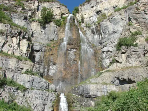
Cardiff Fork is a year-round fee area, so the alternate start charges in every season. For another Utah waterfall with the same pass prices, see Stewart Falls on the Alpine Loop.
Map and nearby falls
Map loads as you scroll. Open in OpenStreetMap
OpenPartly open / seasonalUnconfirmedClosedLarger map
Donut Falls hike: length and route
The Donut Falls hike is about 1.6 miles round trip from Donut Falls Trailhead, per Visit Utah, and longer from Cardiff Fork/Mill D or the winter gate.
From Donut Falls Trailhead
Visit Utah puts the hike at about 0.8 miles each way from the Donut Falls Trailhead, roughly 1.6 miles round trip, with 200 to 300 feet of gain. Both Visit Utah and Utah.com call it an easy hike.
From Cardiff Fork/Mill D and the boardwalk
You can also start at the Cardiff Fork/Mill D Trailhead and take the boardwalk through Cardiff Meadows along Big Cottonwood Creek. Visit Utah says parking in the lower lot adds about 2 miles. The Forest Service gives no boardwalk length.
In winter, from the gate
In winter, Visit Utah says a closed gate adds about 1.5 miles to the walk. We found no official 2026-27 gate date, so check with the Salt Lake Ranger District first.
Trail-work closures through November 30, 2026
Forest Service order #04-18-26-744 warns of temporary closures on the Donut Falls Connector and four other trail systems from August 20 to November 30, 2026. Each closure may last from a few minutes to several days, so build some slack into your plans.
When to visit
The Forest Service lists Donut Falls Trailhead as open; the fee applies only in summer, and the winter gate lengthens the walk.
Weather and winter
In winter the Forest Service lists skiing, sledding and snowshoeing here.
Utah.com describes Donut Falls as very popular with local families and youth groups, with summer weekends packed and parking hard to find. It suggests going on a weekday or in the evening.
We could not confirm the best months for water flow. The trailhead lot is small, and the Cardiff Fork/Mill D lot is the alternative.
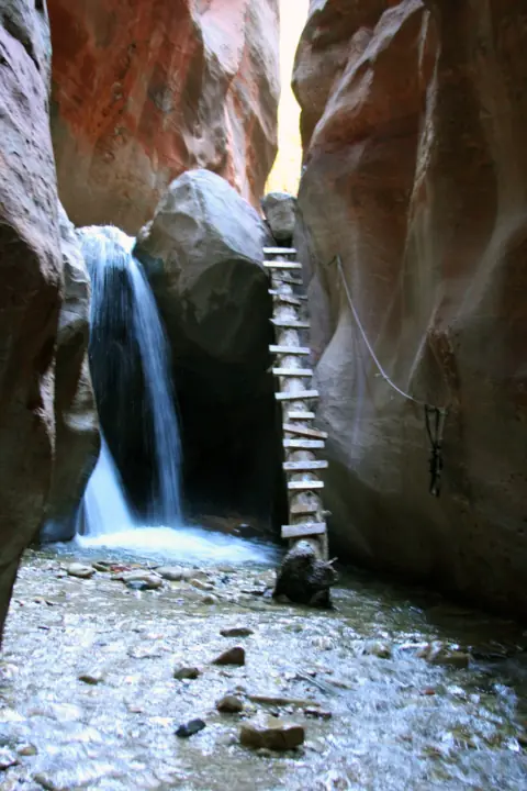
For a ticketed slot-canyon hike in southern Utah, see Kanarra Falls.
| Trail | About 1.6 mi round trip from Donut Falls Trailhead with 200-300 ft of gain (Visit Utah). The lower lot adds about 2 mi and the closed winter gate about 1.5 mi. A boardwalk links from Cardiff Fork/Mill D |
|---|---|
| Difficulty | Easy (Visit Utah; Utah.com also calls it an easy hike) |
| Entry fee | $10 per vehicle for 3 days, $20 for 7 days, $60 season (Forest Service, summer fee season); America the Beautiful accepted |
| Permit / reservation | None; a day-use pass is needed in the summer fee season |
| Parking | Small dirt lot; Cardiff Fork lot nearby |
| Dogs | Not allowed in Big Cottonwood Canyon, a protected watershed (Salt Lake County); Forest Service order #04-19-85 also restricts animals in watershed areas |
| Swimming | No swimming (Forest Service order #04-19-85, Salt Lake watershed) |
| Restrooms | Two accessible vault toilets at Donut Falls Trailhead (Forest Service) |
| Crowds | Very popular with local families and youth groups; summer weekends are packed and parking is hard to find, so Utah.com suggests weekdays or evenings |
| Managed by | USDA Forest Service, Uinta-Wasatch-Cache National Forest (Salt Lake Ranger District) |
Safety and swimming
Do not swim, wade or play in the water at Donut Falls. Forest Service order #04-19-85 prohibits swimming in Salt Lake watershed areas, and the stream here is part of that watershed.
Leave dogs at home. Salt Lake County says dogs aren't allowed in Big or Little Cottonwood Canyons, because both are protected drinking-water watersheds. We could not confirm the current fine amount.
The rock opening
Rock can fall from above the falls. In June 2018, KUTV reported that a boulder came loose at the top of one of the falls, and an adult and a child suffered leg injuries.
Falls at the opening have caused serious injuries too. KUTV reported that a hiker fell at least 20 feet at Donut Falls on March 22, 2026, with non-life-threatening injuries. Do not climb up into or through the hole in the rock.
Expect wet, slick rock around the cave-like opening, and watch your footing. Our waterfall safety guide has more general advice.
Where to stay near Donut Falls
Compare hotels, cabins and rentals close to the falls around Brighton.
See places to stay nearbyAffiliate link: we may earn a commission at no cost to you. Partners do not see or change our waterfall facts. Disclosure.
Photos
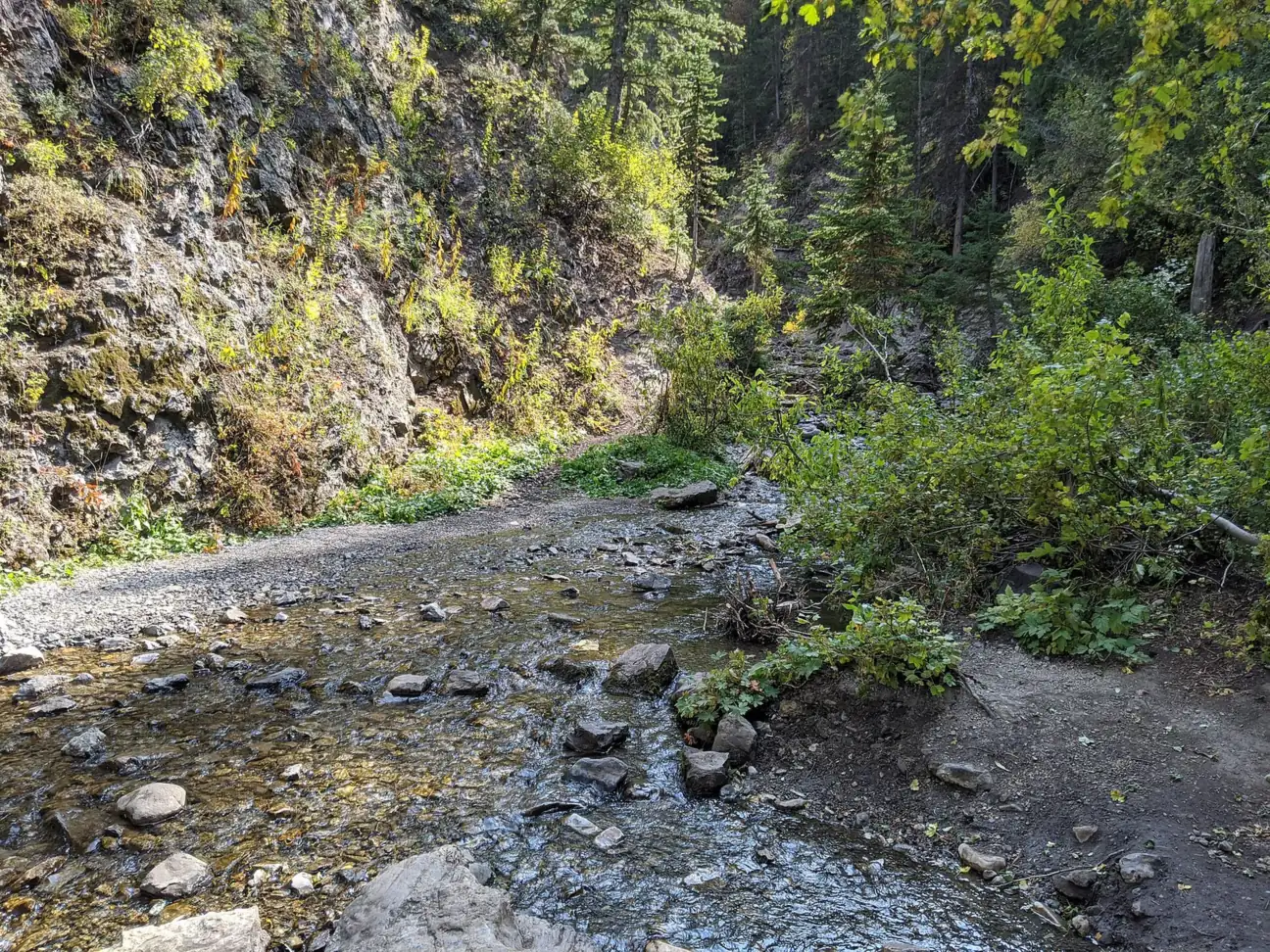
Donut Falls FAQ
Is the Donut Falls trail open?
Yes. The Forest Service lists the trailhead as open. Its order #04-18-26-744 allows short trail-work closures on the Donut Falls Connector and nearby trails through November 30, 2026. In winter a gate adds about 1.5 miles each way (Visit Utah).
How long is the Donut Falls hike?
About 1.6 miles round trip from Donut Falls Trailhead, with 200 to 300 feet of gain, per Visit Utah. Parking in the lower lot adds about 2 miles, and the closed winter gate adds about 1.5 miles.
How far is Donut Falls from Salt Lake City?
The trailhead is 8.9 miles up Big Cottonwood Canyon (SR-190) from the canyon-mouth junction at Wasatch Blvd, the Forest Service says. From I-215, take the 6200 South exit to Wasatch Blvd first.
Do you have to pay to park at Donut Falls?
Yes, in summer. Donut Falls is a Forest Service fee area in the summer season: $10 per vehicle for 3 days, $20 for 7 days or $60 for a season. America the Beautiful passes are accepted. Kiosks are cashless, or you can buy on recreation.gov.
Where do you park for Donut Falls?
At the small dirt lot at Donut Falls Trailhead, or at the larger Cardiff Fork/Mill D Trailhead nearby, which connects by boardwalk. A pass is needed in posted fee areas, including roadside parking.
Can I bring my dog to Donut Falls?
No. Big Cottonwood Canyon is a protected drinking-water watershed, and Salt Lake County says dogs aren't allowed in the canyon. Forest order #04-19-85 also covers animals in watershed areas.
Can you swim or wade at Donut Falls?
No. Forest Service order #04-19-85 prohibits swimming in Salt Lake watershed areas, and the stream here is part of that watershed.
Nearby waterfalls
More waterfalls to explore


Sources
Some facts credited to the Forest Service and Visit Utah come from search-result excerpts of their official pages. Confirm fees and rules on the official site.
- USFS: Donut Falls Trailhead (updated Mar 5, 2026)
- USFS: Cardiff Fork/Mill D Trailhead
- Salt Lake County: Canyons July 2026 parking news
- TownLift: What to know before you park in Big and Little Cottonwood (June 2026)
- Visit Utah: Donut Falls
- Utah.com: Donut Falls
- USFS Uinta-Wasatch-Cache: Alerts (Order #04-18-26-744)
- KUTV/KJZZ: Adult and child hit by falling boulder at Donut Falls (Jun 26, 2018)
- KUTV: Hiker takes considerable fall at Donut Falls (Mar 23, 2026)
Last verified Oct 28, 2026 by The Waterfall Guide editorial team. Conditions change: confirm with USDA Forest Service, Uinta-Wasatch-Cache National Forest (Salt Lake Ranger District) before you go. Spotted something out of date? Report a correction.