Right now
Right now as of Oct 29, 2026
- Status We found no dated 2026 notice from the town confirming the trail is open.
- Permit Kanarra Falls tickets and permits.
Status note (Oct 29, 2026): Unconfirmed. We found no dated 2026 notice from the town confirming the trail is open. The official ticket site was selling general admission in October 2026, inside the staffed season (March-November), and we found no 2025-2026 flood-damage report. What the status labels mean
Kanarra Falls is two main waterfalls on Kanarra Creek in a sandstone slot canyon near Kanarraville, Utah. The Town of Kanarraville sells a $15 per-person ticket, capped at 200 general-admission tickets a day on the official site. The 4-mile round trip runs mostly in the creek, with a 20-foot ladder at the first falls. We found no official height. Tickets were on sale in October 2026, but we found no dated 2026 town notice confirming the trail is open.
About Kanarra Falls
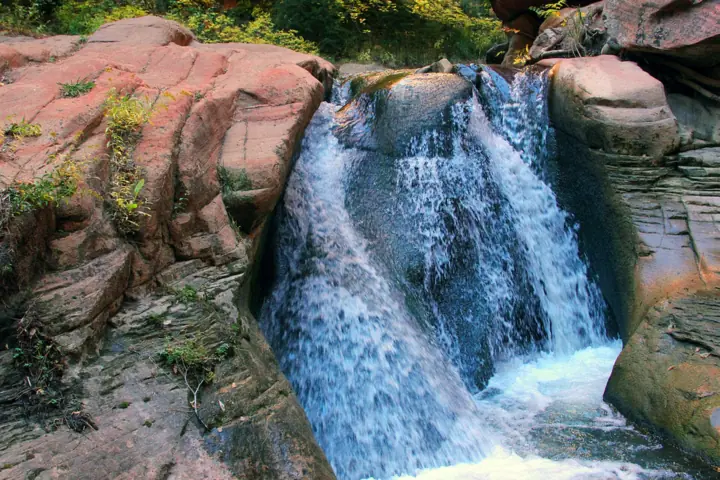
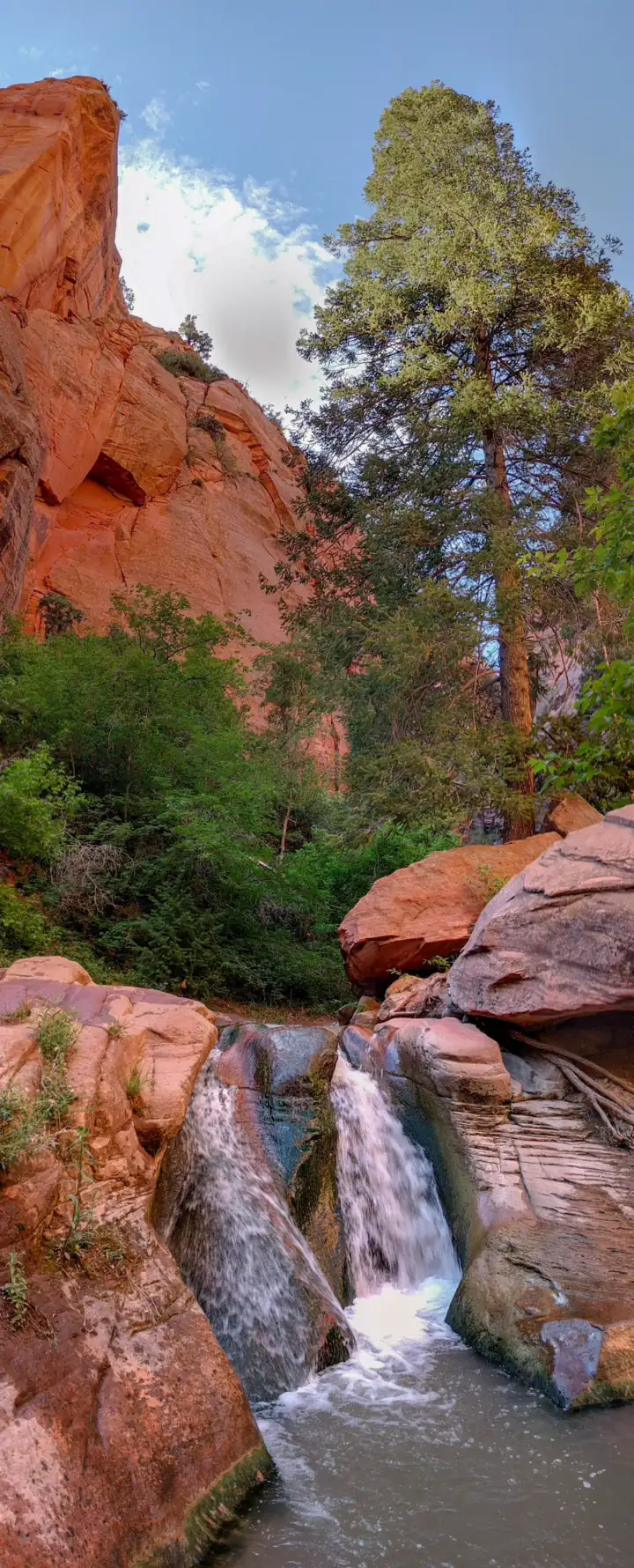
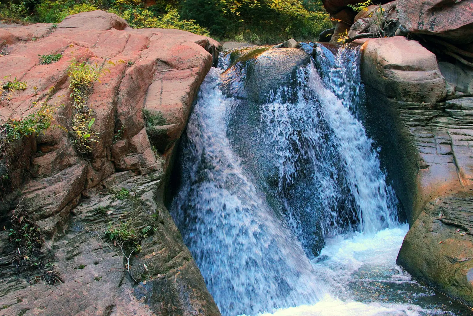
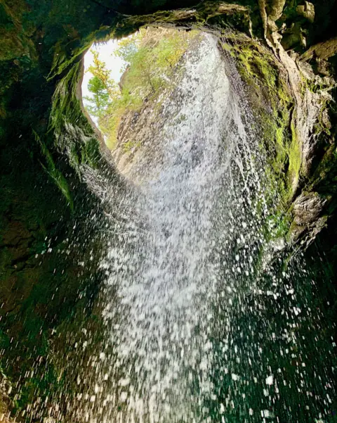
Kanarra Falls refers to two main waterfalls on Kanarra Creek, inside a sandstone slot canyon near Kanarraville in Iron County. The route runs mostly in and along the creek, with many crossings, so plan to wade for much of the hike.
We found no official height for either fall. A search excerpt of Visit Utah's page describes the second fall as about 10 feet tall, about the same size as the first; we could not confirm it.
The Town of Kanarraville runs the ticket system and the trail. According to the BLM, part of the hike crosses Utah school trust land (SITLA) leased to Iron County and Kanarraville. BLM describes the hike area as part of its Spring Creek Canyon Wilderness Study Area.
The town permits the trust-land section and maintains the parking lot and gate. It says 10% of fee revenue goes to Utah schools through SITLA.
Getting there and parking
The Kanarra Falls trailhead lot is in Kanarraville, about 20 minutes south of Cedar City, Visit Cedar City says. BLM directions use I-15 Exit 51 and Old US Highway 91 to reach town. In Kanarraville, turn east on 100 North; the lot is on the left. The Directions button goes to the trailhead lot. The map pin marks the first falls from OpenStreetMap community data, which is approximate; we could not confirm official coordinates.
Parking in the town lot is free, according to the town. RVs and trailers should use the parking area at Center Street and 100 West. Don't park in front of homes or across driveways.
The lot has restrooms, a small gazebo with four picnic tables, and boot-wash stations with a spigot. The town asks you not to rinse mud off in the bathroom sinks. There are no restrooms on the trail, so go before you start or pack out human waste.
Book your ticket before you drive. The official site at kanarrafalls.com sells general admission online. A trailhead kiosk sells any tickets left for the day.
Planning more of the state? Our guide to waterfalls in Utah compares Kanarra's per-person town ticket with the per-vehicle Forest Service day-use passes at Stewart Falls and Donut Falls. At the Donut Falls Trailhead, the fee applies in summer only.
Map and nearby falls
Map loads as you scroll. Open in OpenStreetMap
OpenPartly open / seasonalUnconfirmedClosedLarger map
The hike
The town lists the hike as about 4 miles round trip and rates it moderate to strenuous. Plan on up to about 4 hours. A search excerpt of Visit Utah's page gives 3.8 miles, about 600 feet of gain and 4 to 5 hours; we could not confirm those figures. Visit Cedar City's mileages differ, so we use the town's figures.
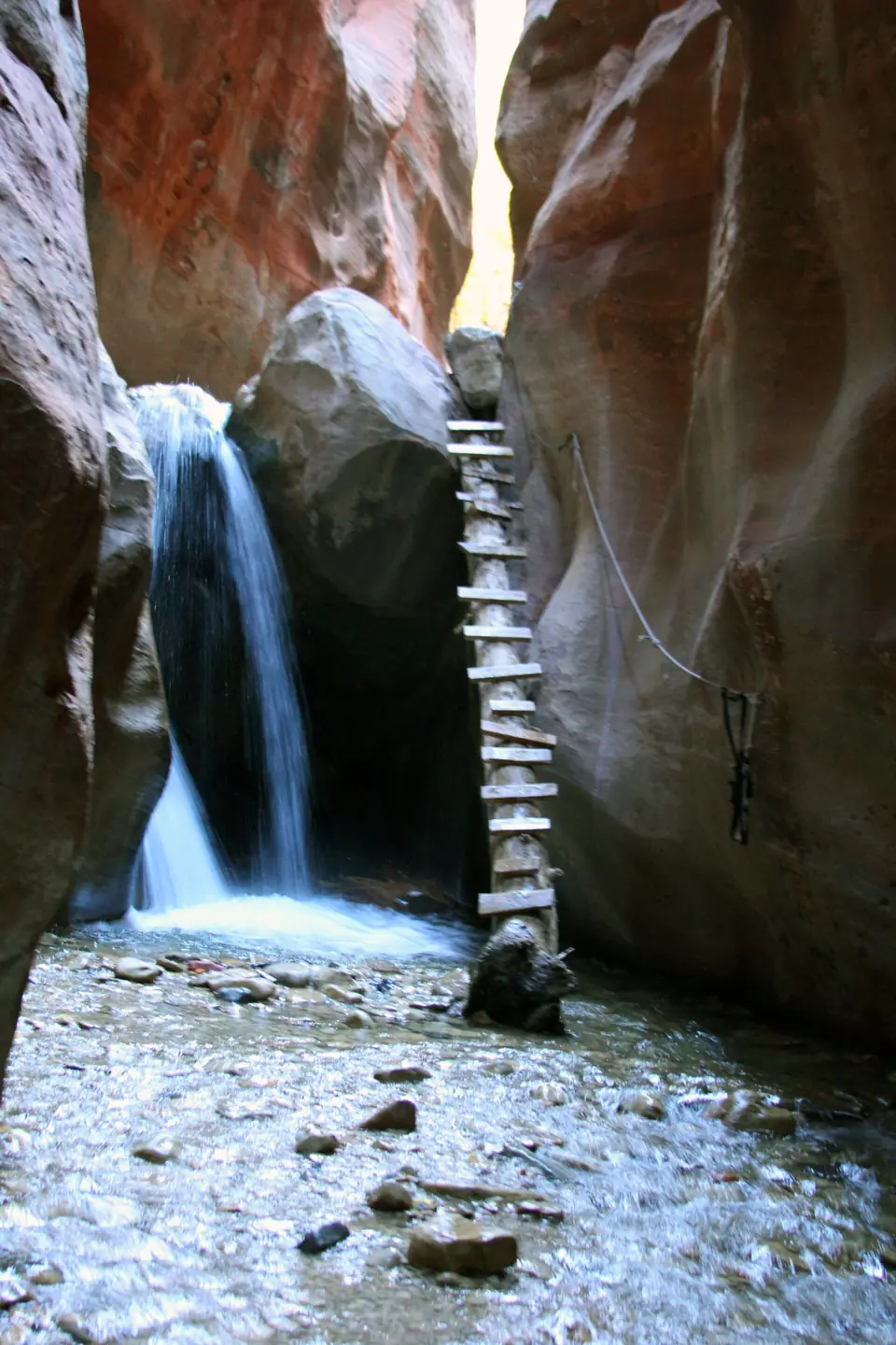
Most of the route runs in or along the creek, with many crossings. At 1.6 miles you reach the first waterfall and a 20-foot ladder, or staircase, which is the only way to continue. The town warns it may be icy, wet and slippery, and says the trail isn't maintained beyond the first waterfall.
At 1.7 miles you climb a large boulder with no handholds. The final waterfall, at 1.9 miles, is the end point. The town says not to go beyond it. The land past it is private property and extremely difficult for Search and Rescue to reach.
The climb at the first falls has changed. An August 2021 flash flood carried the decades-old log ladder down the canyon, KSL reported, and temporary aluminum stairs went in later that year. St. George News reported in 2024, in an article we saw only as a search excerpt, that two grants paid for replacement stairs.
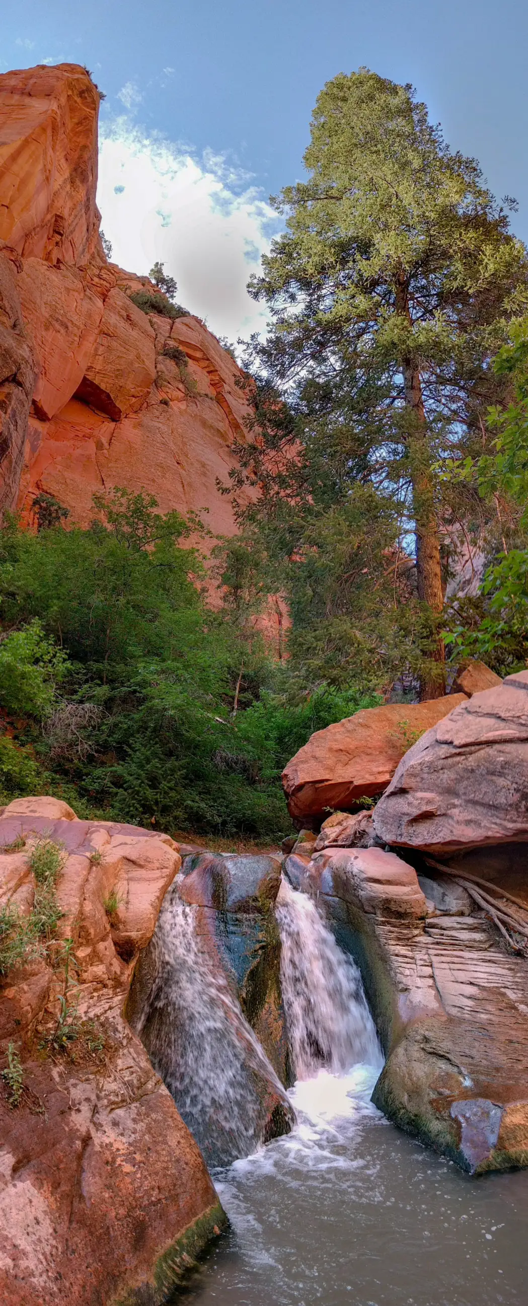
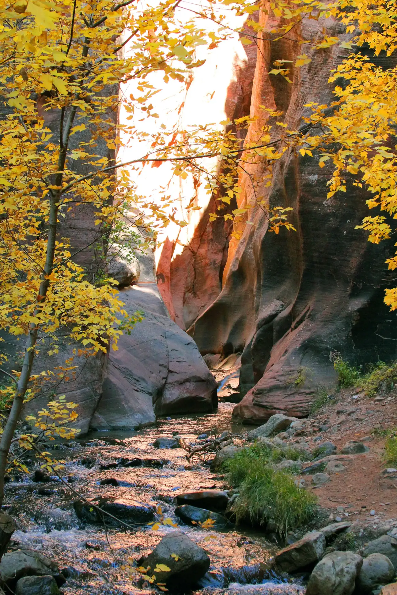
The first photo on this page was taken in 2011 and shows the old log ladder, not the current ladder or staircase. The town's own information page still calls the climb a 20-foot ladder.
When to visit
The town says the trail is open year-round: dawn to dusk in spring, summer and fall, with limited winter hours. Staff are on site from March through November, from 7am to 7pm daily in summer. Other hours are posted at the kiosk.
Peak season runs April through October. The town's FAQ says that during peak season most days sell out about a month ahead. If your date is gone, the official FAQ suggests Taylor Creek in Zion National Park's Kolob Canyons, about 10 miles south at I-15 Exit 40. We did not check Taylor Creek's fees or current status.
The creek changes with the season. In summer it is typically ankle to mid-calf deep, the town says, while spring snowmelt raises the flow and makes it colder and faster. We could not confirm the best months for water flow, or the 2026 winter hours.
When is the water highest?
At a USGS stream gauge about 0.9 mi from the falls, the flow averages highest in May and lowest in November, based on 22 years of records (1960 to 1981). These are older records from a gauge that no longer reports, so treat them as a rough seasonal guide.
Show the numbers
| Month | Average flow (cfs) |
|---|---|
| January | 2.4 |
| February | 2.4 |
| March | 3.1 |
| April | 6.8 |
| May | 14 |
| June | 5.8 |
| July | 3.3 |
| August | 3.2 |
| September | 2.6 |
| October | 2.3 |
| November | 2.2 |
| December | 2.3 |
| Trail | About 4 mi round trip (town), mostly in and along Kanarra Creek. First falls and 20-ft ladder at 1.6 mi, end point at the final falls at 1.9 mi |
|---|---|
| Difficulty | Moderate to strenuous, per the town |
| Time needed | Up to about 4 hours (town) |
| Entry fee | $15 per person general admission; children 7 and under free but need a ticket (Town of Kanarraville) |
| Permit / reservation | Yes: a $15 per-person ticket from the Town of Kanarraville; 200 general-admission tickets a day, per the official ticket site |
| Parking | Free town lot; RVs at Center St and 100 W |
| Hours / season | Dawn to dusk in spring, summer and fall; limited winter hours; staffed 7am-7pm daily in summer (town) |
| Dogs | Not allowed: the canyon is the watershed for Kanarraville's drinking and irrigation water, the town says; leashed service animals only (town) |
| Swimming | No published swimming rule; wading is the trail, usually under a foot deep. The town says not to use the natural water slides or makeshift ladders |
| Wheelchair / stroller | No: the route runs in the creek, with a 20-ft ladder and a boulder climb (town) |
| Restrooms | At the parking lot only; none on the trail (town) |
| Crowds | During peak season (April through October), most days sell out about a month ahead (town FAQ) |
| Managed by | Town of Kanarraville (permit and trail operator) |
Safety and swimming
Watch the weather closely in a slot canyon. Visit Cedar City advises against hiking in rain or when heavy rain is forecast. It says flash floods can happen in any season but are most common from July through September. Check the forecast, or call the National Weather Service at (801) 524-3057.
If the town closes the trail for a flash flood warning, the standard cancellation policy applies. There are no refunds, though a manager can approve rebooking.
The water is spring-fed and cold all year. The town recommends hiking shoes with ankle support that can get wet, and it highly recommends water-hiking shoes and poles. Neoprene or wool socks help. We found no published swimming rule for the creek.
Do not use the natural water slides; the town notes that many injuries here are preventable. Do not build or use makeshift rope or log ladders. Take the ladder or staircase and the boulder slowly, and turn around at the final waterfall.
Cell service on the trail is spotty, the town says, so tell someone your plan before you start. The town also asks that children under 18 be with an adult. It also strongly discourages bringing small children when the water is high. Our waterfall safety guide has more general advice on moving water.
Where to stay near Kanarra Falls
Compare hotels, cabins and rentals close to the falls around Kanarraville.
See places to stay nearbyAffiliate link: we may earn a commission at no cost to you. Partners do not see or change our waterfall facts. Disclosure.
Photos
Kanarra Falls FAQ
Is Kanarra Falls open right now?
Not confirmed. We found no dated 2026 notice from the Town of Kanarraville confirming the trail is open. The official ticket site was selling general admission in October 2026, inside the staffed season (March-November). We found no 2025 or 2026 flood-damage report. Check kanarrafalls.com before you go.
Do you need a permit for Kanarra Falls?
Yes. Everyone needs a ticket from the town: $15 per person, and children 7 and under are free but still need one. The official ticket site caps general admission at 200 a day, though the town's trails page says 250.
Can you buy Kanarra Falls tickets at the trailhead?
Only if any are left that day. The trailhead kiosk sells remaining tickets. During peak season (April through October) most days sell out about a month ahead, so book online at kanarrafalls.com.
Can I get a refund if the trail closes for weather?
No. The town doesn't give refunds, and flash-flood closures follow the same policy. You can change your date up to 48 hours ahead or take a gift card for another date, and a manager can approve weather rebooking.
How long is the Kanarra Falls hike?
About 4 miles round trip, taking up to about 4 hours, according to the town. The first waterfall and staircase are at 1.6 miles, and the final waterfall at 1.9 miles is the turnaround. A Visit Utah search excerpt gives about 600 feet of gain, which we could not confirm.
How deep is the water at Kanarra Falls?
Usually less than a foot, and typically ankle to mid-calf in summer, the town says. Spring snowmelt makes it higher, colder and faster. Wear shoes that can get wet; poles and neoprene or wool socks help.
Are dogs allowed at Kanarra Falls?
No. The town bans pets because the canyon is the watershed for Kanarraville's drinking and irrigation water. Leashed service animals are allowed; comfort animals are not.
Is Kanarra Falls in Zion National Park?
No. BLM describes the hike area as part of the Spring Creek Canyon Wilderness Study Area. Part of it is Utah school trust land (SITLA), leased to Iron County and Kanarraville. If tickets are gone, the town's FAQ suggests Kolob Canyons' Taylor Creek in Zion, "10 miles south of Kanarra Falls at exit 40."
Nearby waterfalls
No other waterfalls within 75 miles are on the site yet.
More waterfalls to explore


Sources
Some facts credited to the Visit Utah, St. George News and Forest Service come from search-result excerpts of their official pages. Confirm fees and rules on the official site.
- Kanarra Falls official ticket site (Town of Kanarraville): 200 GA tickets a day, 4 mi, up to 4 hours
- Kanarra Falls: Information (Town of Kanarraville)
- Kanarra Falls: FAQs (Town of Kanarraville)
- Kanarraville Town: Local Trailheads
- BLM: Kanarra Falls
- Visit Cedar City: Hiking Kanarra Falls
- Visit Utah: Hike Kanarraville Canyon Falls (search excerpt)
- KSL: Ladder airlifted at Kanarra Falls (2021)
- St. George News: Helicopter and welders, the story of Kanarra Falls’ new stairs (2024)
- USDA Forest Service: Alpine Scenic Loop Backway (search excerpt)
- OpenStreetMap: Lower Kanarra Falls (node 1833434208) and Kanarra Creek Falls Trailhead (node 5822521699)
Last verified Oct 29, 2026 by The Waterfall Guide editorial team. Conditions change: confirm with Town of Kanarraville (permit and trail operator) before you go. Spotted something out of date? Report a correction.