Right now
Right now as of Nov 8, 2026
- Permit No permit needed. Fee: no entrance fee (NPS).
Status note (Nov 8, 2026): Open, as far as we can tell: no NPS alert read on Nov 8, 2026 names Buttermilk Falls. The only current way by car is Struble Road through Stokes State Forest to Mountain Road, because the Main Street bridge in Walpack is closed. NPS says Struble Road closes December 15 to April 15, so from Dec 15, 2026 the falls will not be reachable by car. What the status labels mean
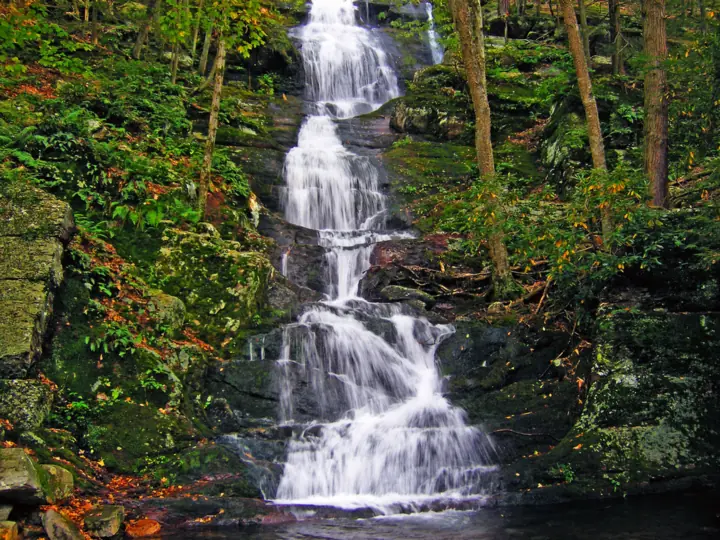
Buttermilk Falls is a cascade off Mountain Road in Walpack Township, New Jersey, inside Delaware Water Gap National Recreation Area. NPS calls it the state's tallest waterfall, and an archived 2021 NPS release gives a height of 75 feet. A wooden staircase climbs beside it, and the trail continues to the Appalachian Trail. For now, the only vehicle route is Struble Road, which NPS says closes December 15 to April 15.
About Buttermilk Falls
This page covers Buttermilk Falls in Walpack Township, Sussex County, New Jersey. It sits inside Delaware Water Gap National Recreation Area, managed by the National Park Service.
It is not the Buttermilk Falls near Ithaca. That is a different falls, covered on our Buttermilk Falls, New York page. Wikipedia lists at least three New Jersey falls with this name, in Bridgewater, Mendham and Walpack.
How tall is Buttermilk Falls?
NPS calls it "New Jersey's tallest waterfall!" on its place page. An NPS news release from October 2021 gives a height: it "tumbles 75 feet over a steep and rocky cliff."
Sources differ on the details. The NPS trail page calls it "one of the tallest waterfalls in New Jersey." Wikipedia's list of Delaware Water Gap waterfalls says it is "nearly 100 ft" high, without an NPS source.
We use the NPS figure of 75 feet. NPS marks that 2021 release as archived, so it is no longer updated.
What you'll find at the site
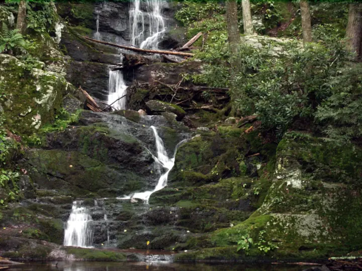
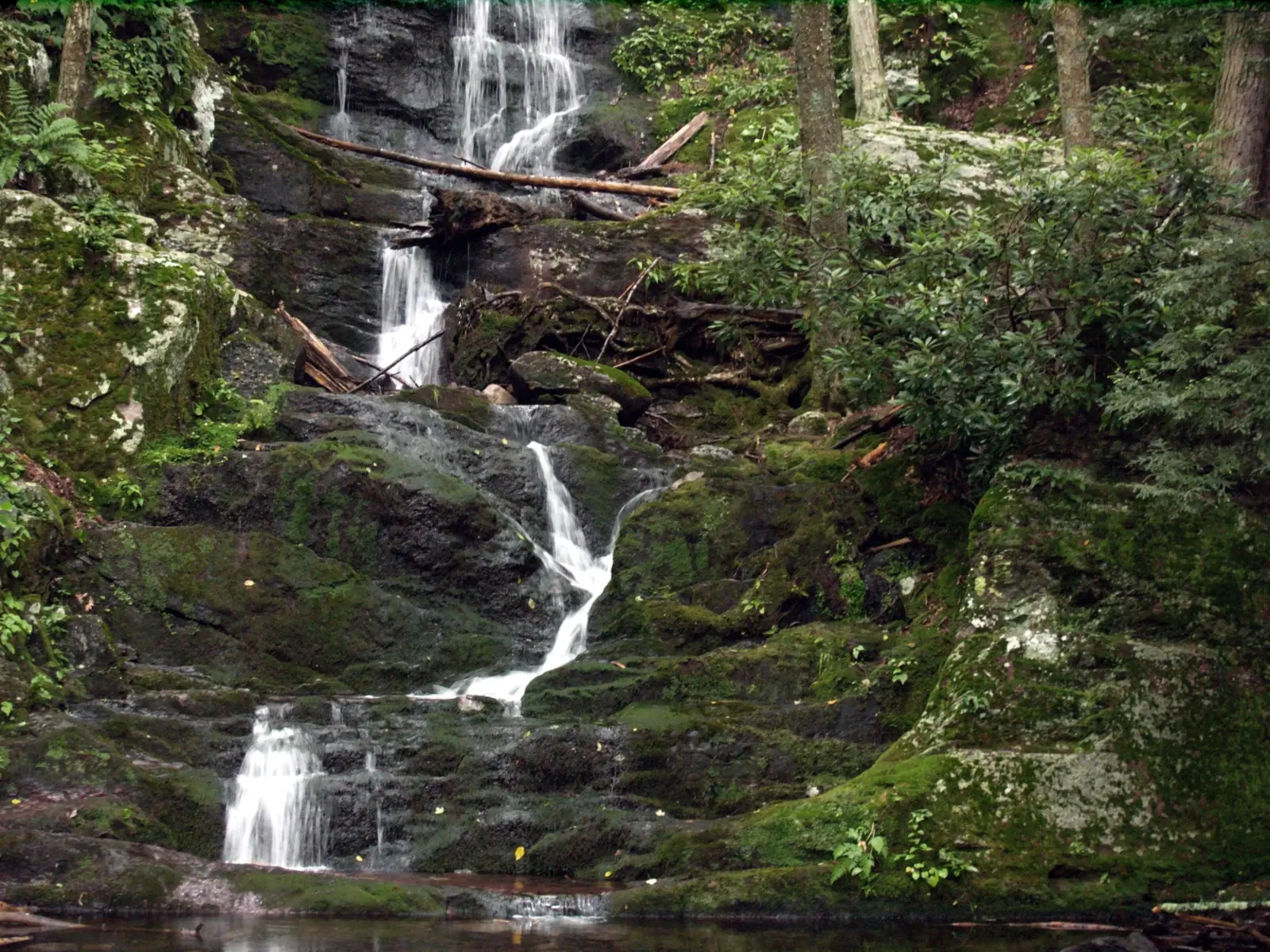
NPS says the cascade is "right off a gravel backroad called Mountain Road near Walpack Center, NJ." A wooden staircase leads up the side of the falls. It is part of a trail that climbs to the ridge and joins the Appalachian Trail.
NPS says the site is also an Appalachian Trail connector trailhead. It calls it "an accessible waterfall viewing spot." The 2021 release says the staircase was replaced and two observation platforms were rebuilt that year.
Our map pin is the NPS place coordinate for Buttermilk Falls. We use the same point for the trailhead.
Getting there and parking
Road access is the main planning issue here. Read this section before you set out, especially late in the year.
The only current route: Struble Road
NPS says the bridge on Main Street in Walpack, between Walpack Center and Mountain Road, "remains closed due to structural damage." A park alert says it is closed until further notice.
With that bridge out, NPS says "visitors must take Struble Road through Stokes State Forest to Mountain Road." That is the only vehicle route NPS describes.
Mountain Road is also closed to vehicles beyond the bridge and from the south end at Haneys Mill, per NPS. The closure is for repairs on the state-owned section of the road.
Winter: no vehicle access from December 15
NPS says Struble Road is closed from December 15 through April 15 every year. Its place page adds: "When the road is closed, Buttermilk Falls is not accessible by vehicle."
So from December 15, 2026, you will not be able to drive to the falls. NPS gives April 15 as the end of the yearly closure.
Struble Road is in Stokes State Forest, which New Jersey runs. We could not confirm the closure dates on the state's own forest page, so check before an early or late season trip.
An archived 2021 NPS release gave an older winter rule for Mountain Road: closure on January 1 or after the first significant snowfall. We follow the newer NPS place page.
Parking
No NPS page we read gives parking capacity for this spot.
Map and nearby falls
Map loads as you scroll. Open in OpenStreetMap
OpenPartly open / seasonalUnconfirmedClosedLarger map
Buttermilk Falls Trail: stairs to the Appalachian Trail
NPS lists the Buttermilk Falls Trail as 1.4 miles one way, rated "Moderate-difficult," with 1,104 feet of elevation change.
You can see the falls without hiking the full trail. NPS says the cascade is right off Mountain Road, and the trail starts beside it.
The route
Per NPS, the trail begins with a climb to the top of Buttermilk Falls on the wooden staircase. It then makes a steep climb up to the Appalachian National Scenic Trail.
From the ridge, NPS says you can head south on the Appalachian Trail to the Crater Lake and Hemlock Pond loop trails. If you return the same way, expect a long descent and take care on the stairs.
Dogs
NPS says "Pets are allowed almost everywhere in the park," and Buttermilk Falls is not on its list of exceptions. Its BARK rules include "Always wear a leash."
Accessibility
NPS calls the site an accessible waterfall viewing spot but gives no surface or parking details. The stairs and the 1,104-foot climb are not described as accessible.
When to visit
NPS gives no best month and publishes no crowd figure. It says the falls "can be dripping or rushing with water depending on previous weather."
The bigger timing factor is road access. NPS says Struble Road is closed December 15 through April 15, so you can drive in only outside those dates.
NPS says ticks are prevalent from late spring to early fall. It also notes that hunting is allowed in the park.
Check the NPS current conditions page before you go.
For other falls in the region, see Raymondskill Falls, Dingmans Falls and Bushkill Falls in Pennsylvania.
| Height | 75 ftNote: 75 ft per an archived October 2021 NPS news release; Wikipedia says "nearly 100 ft" without an NPS source |
|---|---|
| Trail | A wooden staircase up the side of the falls, then a steep climb to the Appalachian Trail. NPS lists 1.4 miles one way and 1,104 feet of elevation change |
| Difficulty | NPS rates the trail "Moderate-difficult." We file it under hard because it has 1,104 feet of elevation change in 1.4 miles, starting with a staircase beside the falls |
| Entry fee | No entrance fee. NPS says "Delaware Water Gap National Recreation Area does not charge entrance fees to visit the park." The $10 per vehicle expanded amenity fees apply only at five listed beach and river access sites, and Buttermilk Falls is not one of them |
| Permit / reservation | No entrance pass or permit required; NPS says the park charges no entrance fees |
| Parking | Off Mountain Road; no lot details |
| Dogs | Allowed. NPS says "Pets are allowed almost everywhere in the park," and Buttermilk Falls is not on its list of exceptions. The park's BARK rules include "Always wear a leash" |
| Swimming | Not allowed at the falls. The NPS trail page says swimming and wading are not permitted within 50 feet upstream of a waterfall or in the waterfall itself |
| Wheelchair / stroller | NPS calls the site "an accessible waterfall viewing spot" but gives no surface or parking details. The staircase and 1,104-foot climb are not described as accessible |
| Best time to visit | NPS gives no best season. Struble Road, the only vehicle route, is closed December 15 through April 15, per NPS |
| Crowds | No crowd figure is published |
| Managed by | National Park Service, Delaware Water Gap National Recreation Area |
Safety and swimming
Stay out of the water at the falls. The NPS trail page says swimming and wading are not permitted within 50 feet upstream of a waterfall or in the waterfall itself.
NPS rules for park waterfalls also ban climbing on waterfalls, waterfall pools and adjacent cliffs.
NPS warns that waterfalls and their pools "have been the scene of numerous injuries and deaths." It ties these to climbing, rappelling, diving or jumping.
The staircase and the climb above it are steep. Wear shoes with good grip, carry water and allow time for 1,104 feet of elevation change.
Check yourself and your dog for ticks after the hike, especially from late spring to early fall. Our waterfall safety guide has more on slick rock and cliffs.
Conditions change: confirm with the official source before you go.
Where to stay near Buttermilk Falls
Compare hotels, cabins and rentals close to the falls around Walpack Township.
See places to stay nearbyAffiliate link: we may earn a commission at no cost to you. Partners do not see or change our waterfall facts. Disclosure.
Photos
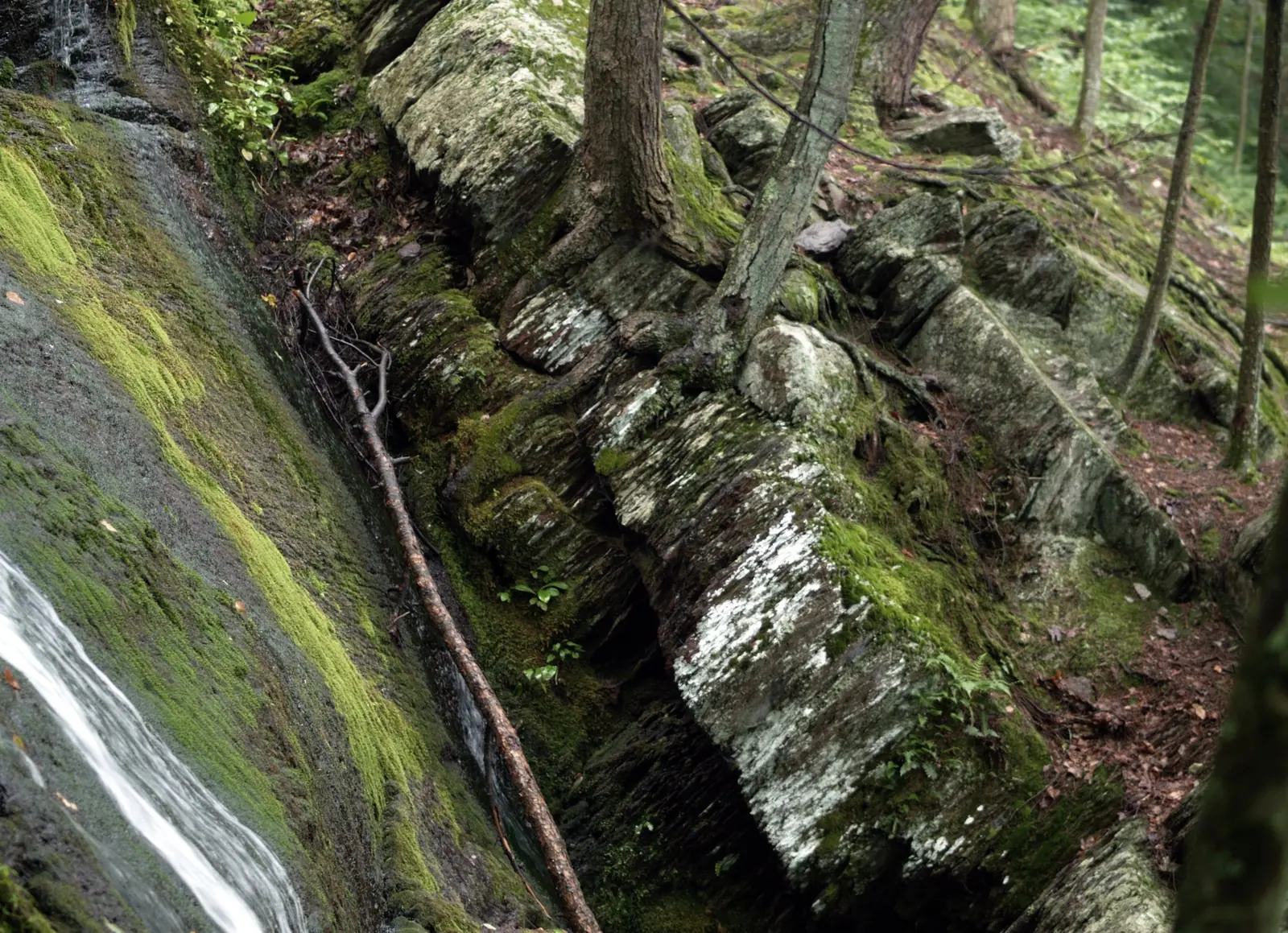
Buttermilk Falls FAQ
Is Buttermilk Falls in New Jersey open?
As far as we can tell, yes. No NPS alert read on Nov 8, 2026 names the falls. The only current vehicle route is Struble Road through Stokes State Forest to Mountain Road.
Can you drive to Buttermilk Falls in winter?
No. NPS says Struble Road is closed December 15 to April 15, and "When the road is closed, Buttermilk Falls is not accessible by vehicle." From December 15, 2026, you will not be able to drive there.
Why can't you take Main Street in Walpack to Buttermilk Falls?
NPS says the Main Street bridge in Walpack, between Walpack Center and Mountain Road, remains closed due to structural damage. Visitors must take Struble Road through Stokes State Forest instead.
How tall is Buttermilk Falls in New Jersey?
An October 2021 NPS release says it "tumbles 75 feet." NPS calls it New Jersey's tallest waterfall. Wikipedia says "nearly 100 ft" without an NPS source.
How hard is the Buttermilk Falls Trail?
NPS rates it "Moderate-difficult." It runs 1.4 miles one way with 1,104 feet of elevation change. It starts with a wooden staircase beside the falls and climbs to the Appalachian Trail.
Is there a fee at Buttermilk Falls?
No entrance fee. NPS says Delaware Water Gap does not charge entrance fees. Its $10 amenity fees apply only at five listed beach and river access sites, not here.
Can you swim at Buttermilk Falls or bring a dog?
No swimming or wading within 50 feet upstream of the falls or in the falls itself, per NPS. Leashed pets are allowed, since the falls are not on the park's list of exceptions.
Nearby waterfalls
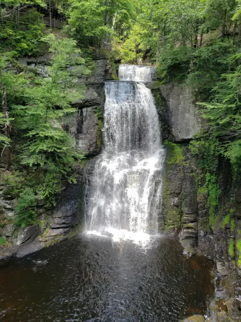 Bushkill Falls6 mi straight-line, by our mathSeasonal100FT
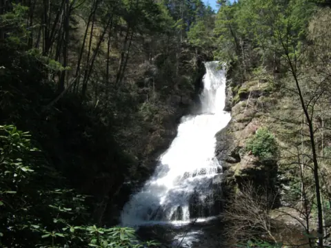 Dingmans Falls6 mi straight-line, by our mathClosed130FT
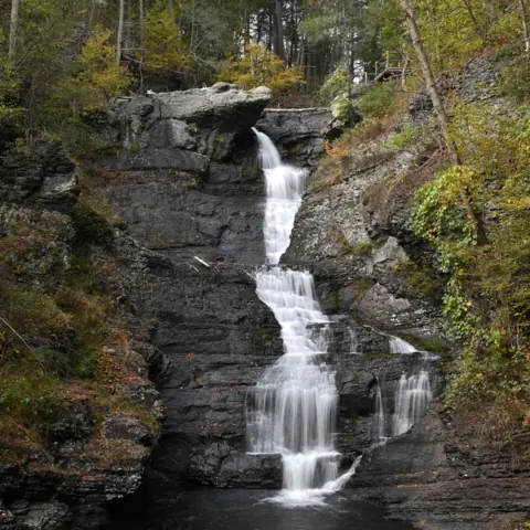 Raymondskill Falls11 mi straight-line, by our mathOpen150FT
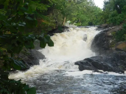 Boonton Falls29 mi straight-line, by our mathOpenABOUT 20FT
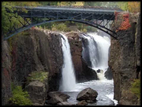 Paterson Great Falls40 mi straight-line, by our mathOpen77FT
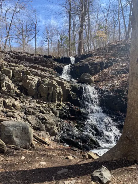 Hemlock Falls41 mi straight-line, by our mathOpen25FT
City guides: Waterfalls near New York City, NY
Sources
- NPS: Buttermilk Falls place page (tallest in NJ, Mountain Road, staircase, Struble Road closure; last updated July 28, 2025; read Nov 8, 2026)
- NPS: Buttermilk Falls Trail (length, difficulty, elevation, swimming rule; last updated Aug 18, 2021; read Nov 8, 2026)
- NPS: Delaware Water Gap Current Conditions (Main Street bridge, Struble Road route; last updated May 21, 2026; read Nov 8, 2026)
- NPS: Delaware Water Gap news release, October 21, 2021 (75-foot height, staircase and platforms; archived)
- NPS: Delaware Water Gap Fees & Passes (read Nov 8, 2026)
- NPS: Delaware Water Gap Pets (read Nov 8, 2026)
- NPS: Delaware Water Gap Waterfalls (waterfall rules and safety; read Nov 8, 2026)
- Wikipedia: List of waterfalls in the Delaware Water Gap (Buttermilk Falls section; read Nov 8, 2026)
Last verified Nov 8, 2026 by The Waterfall Guide editorial team. Conditions change: confirm with National Park Service, Delaware Water Gap National Recreation Area before you go. Spotted something out of date? Report a correction.