Right now
Right now as of Oct 28, 2026
- Permit No permit needed. Fee: no trailhead fee listed.
Status note (Oct 28, 2026): Open daily 7am to sunset, per Marin Water (October 2026). Pine Mountain Tanks crews are pouring foundations through January 31, 2027, and Concrete Pipe Road is closed between Bolinas Road and Taylor Trail during working hours. The Cataract Trail is not listed as closed. The watershed closes to vehicles on Red Flag days. What the status labels mean
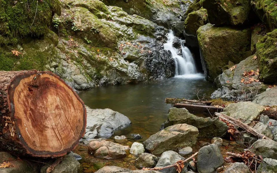
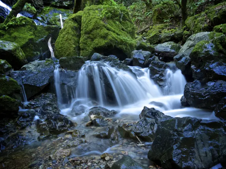
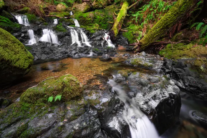
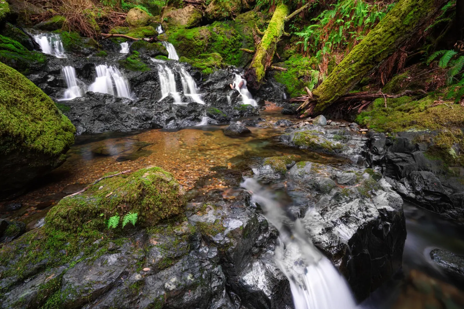
Cataract Falls is a series of falls and cascades on Cataract Creek, as One Tam describes it, on the Mt. Tamalpais Watershed near Fairfax. Marin Water manages the land and opens it daily from 7am to sunset, and it bans swimming in its streams. You can make a steep climb from Alpine Lake or hike down from Rock Spring on Ridgecrest Boulevard.
About Cataract Falls
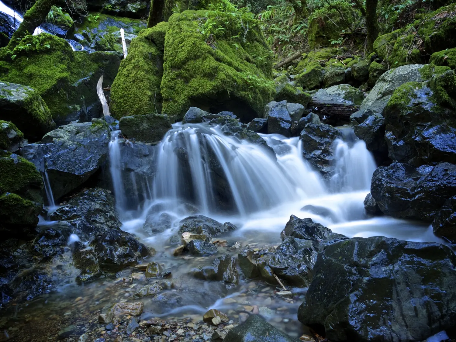
Cataract Falls is on Cataract Creek on the Mt. Tamalpais Watershed in Marin County, California. Marin Water's visitor map shows the creek running down into the south arm of Alpine Lake, just above Bolinas-Fairfax Road. One Tam and the Parks Conservancy describe the route's waterfalls in the plural, a chain of falls along the creek rather than one big plunge. No agency publishes an official height.
Marin's Cataract Falls is the one covered here, not the Cataract Falls in Indiana or the one in the Smokies.
The watershed is run by Marin Water, also known as the Marin Municipal Water District. Its visitor rules include leashed dogs, no swimming or boating, and hours from 7am to sunset.
Marin Water's visitor map shows the Cataract Trail starting on Bolinas-Fairfax Road by Alpine Lake. It passes Cataract Falls and Laurel Dell on the way up to Rock Spring on Ridgecrest Boulevard. Laurel Dell Falls, another small fall, is marked just west of Laurel Dell.
Getting there and parking
Cataract Falls has two trailheads: a roadside trailhead on Bolinas-Fairfax Road near Alpine Dam, and the Rock Spring lot on Ridgecrest Boulevard. No fee is listed for either, and the watershed is open daily from 7am to sunset.
Trailheads and parking
Alpine Lake trailhead (bottom): a roadside trailhead on Bolinas-Fairfax Road near Alpine Dam. Marin Water's 2023 visitor census found Cataract was the only site studied with a weekend peak between 6am and 10am, so arrive early.
Rock Spring (top): the lot on Ridgecrest Boulevard, which Marin Water's map shows with parking, picnic tables and restrooms. One Tam's 6.5-mile loop starts here. The map also notes that Ridgecrest Boulevard closes from sundown to 9am.
Fees and passes
Marin Water's $8 day pass per car is required for all vehicles entering the watershed via Sky Oaks Road, off Fairfax-Bolinas Road. No fee is listed for Rock Spring or the Alpine Lake trailhead.
Annual passes cost $60 for Marin residents, $30 for seniors and $100 for out-of-county visitors. Vehicles with disabled placards are free, per Marin Water.
Closures and construction
On Red Flag days, the watershed closes to vehicle traffic for public safety. Check Marin Water before you drive in fire season.
Through January 31, 2027, Pine Mountain Tanks crews are pouring concrete foundations, per Marin Water. Concrete Pipe Road is closed between Bolinas Road and Taylor Trail during normal working hours. The Cataract Trail isn't listed as closed.
Map and nearby falls
Map loads as you scroll. Open in OpenStreetMap
OpenPartly open / seasonalUnconfirmedClosedLarger map
The hike
The Cataract Trail reaches the falls either by a steep climb from Alpine Lake or by the route down from Rock Spring past Laurel Dell. One Tam lists a 6.5-mile loop from Rock Spring, while the Parks Conservancy lists 2.7 miles round trip.
Marin Water's watershed trail map (PDF) shows the Cataract Trail and the connecting routes. The map is a large file, so download it before you lose signal.
From the Alpine Lake trailhead
The Cataract Trail climbs steeply beside the creek. We found no agency distance for this end alone.
From Rock Spring
The trail heads down past Laurel Dell, which has a picnic area and restrooms on Marin Water's map, to the falls. One Tam lists a 6.5-mile loop from Rock Spring that combines the Cataract, High Marsh, Kent and Benstein trails. It rates the loop moderate to difficult.
The Golden Gate National Parks Conservancy describes the same loop but lists a trail length of 2.7 miles round trip, rated moderately strenuous. The two figures don't match, so plan for the longer one if you do the full loop.
No official hiking time or elevation gain is published, so leave extra daylight, especially if you start from the bottom. The trail isn't listed as wheelchair accessible. One Tam plans to stabilize an eroded section of trail when funding is available.
When to visit
There's no official best season. The falls are rain-fed, so how much water you see depends on recent rain. Yosemite Falls runs on a different rhythm: NPS says it peaks with snowmelt in May.
Weekends are busy, and Marin Water's census put the weekend rush in the early morning. A weekday visit is the simplest way to improve your odds of a parking space at Alpine Lake.
The watershed is open year-round, daily from 7am to sunset. In fire season, check Marin Water for Red Flag closures before you drive, because the watershed closes to vehicles on those days.
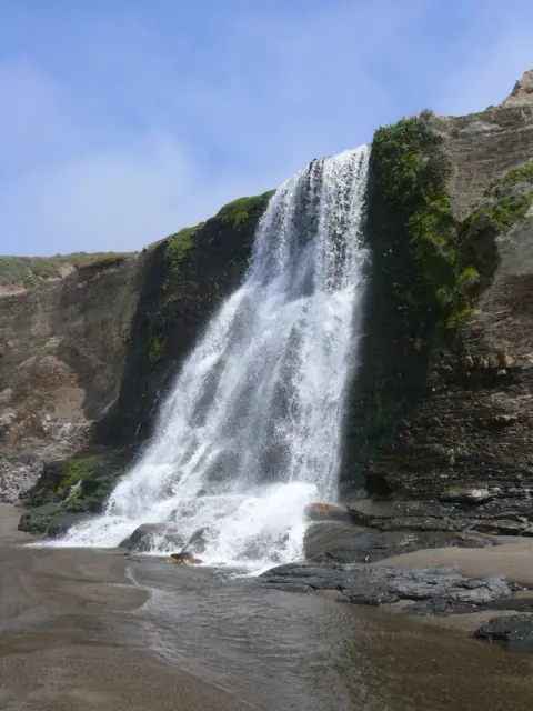
For a coastal Marin falls, see Alamere Falls in Point Reyes National Seashore.
| Trail | Cataract Trail between the Alpine Lake trailhead on Bolinas-Fairfax Road (steep climb) and Rock Spring on Ridgecrest Blvd. One Tam lists a 6.5-mile loop from Rock Spring, rated moderate to difficult. The Parks Conservancy lists 2.7 miles round trip, moderately strenuous |
|---|---|
| Difficulty | Moderate |
| Entry fee | No fee listed for the Rock Spring or Alpine Lake trailheads. Marin Water's $8 day pass per car is required only for vehicles entering via Sky Oaks Road. (Annual passes $60 Marin, $30 senior, $100 out of county; disabled placards free) |
| Permit / reservation | None needed |
| Parking | Alpine Dam roadside trailhead or Rock Spring; early weekend peak |
| Hours / season | Daily, 7am to sunset (Marin Water); vehicle access closes during Red Flag Warnings |
| Dogs | Allowed on leash, under control at all times (Marin Water) |
| Swimming | No. Marin Water prohibits swimming and boating in all its reservoirs and streams. |
| Wheelchair / stroller | Not listed as accessible; One Tam rates the loop moderate to difficult |
| Walk behind the falls | No |
| Restrooms | Marin Water's map shows restrooms near the Bolinas-Fairfax Road end, at Laurel Dell and at Rock Spring |
| Crowds | High on weekends; Marin Water's 2023 census found a weekend peak between 6am and 10am |
| Managed by | Marin Water (Marin Municipal Water District), Mt. Tamalpais Watershed |
Safety and swimming
Marin Water prohibits swimming and boating in all its reservoirs and streams, and that includes Cataract Creek. Enjoy the falls from the trail and stay out of the water.
The trail beside the creek is steep. Watch your footing, use both hands when needed, and take extra care on descents after rain.
Keep dogs leashed and under control at all times, as Marin Water requires. Do not try to drive in on a Red Flag day; vehicle access is closed because of extreme fire danger. For general tips, see our waterfall safety page.
Where to stay near Cataract Falls
Compare hotels, cabins and rentals close to the falls around Fairfax.
See places to stay nearbyAffiliate link: we may earn a commission at no cost to you. Partners do not see or change our waterfall facts. Disclosure.
Photos
Cataract Falls FAQ
Where do I park for Cataract Falls?
You have two main choices. A roadside trailhead on Bolinas-Fairfax Road near Alpine Dam starts the steep climb up the creek. Marin Water's 2023 census found its weekend peak comes between 6am and 10am. The other option is Rock Spring on Ridgecrest Boulevard, where you hike down past Laurel Dell.
Is there a fee to hike Cataract Falls?
Marin Water lists no trail fee. Its $8 day pass per car is required only for vehicles entering through Sky Oaks Road, and cars with disabled placards are free. No fee is listed for the Rock Spring or Alpine Lake trailheads.
How long is the Cataract Falls hike?
Marin Water doesn't publish an official distance. One Tam lists a 6.5-mile loop from Rock Spring, rated moderate to difficult. The Golden Gate National Parks Conservancy lists the Cataract Trail at 2.7 miles round trip, moderately strenuous.
Are dogs allowed on the Cataract Trail?
Yes. Marin Water allows dogs on the watershed if they are leashed and under control at all times.
Can you swim at Cataract Falls?
No. Marin Water prohibits swimming and boating in all its reservoirs and streams, including Cataract Creek.
What are the hours for Cataract Falls?
The Mt. Tamalpais Watershed is open daily from 7am to sunset. Marin Water closes the watershed to vehicles on Red Flag fire-danger days.
Where is Cataract Falls in California?
On the Mt. Tamalpais Watershed in Marin County, near Fairfax. The Cataract Trail runs between the Alpine Lake trailhead on Bolinas-Fairfax Road and Rock Spring on Ridgecrest Boulevard. It's a different place from the Cataract Falls in Indiana or the Smokies.
When is the best time to see Cataract Falls?
There's no official best season. The falls are fed by rain, so the flow depends on how much has fallen recently. Weekend mornings are the busiest time at the trailheads, per Marin Water's 2023 visitor census.
Nearby waterfalls


More waterfalls to explore
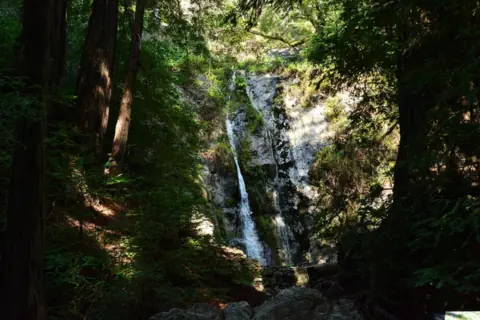 Pfeiffer FallsCalifornia · 125 mi straight-lineClosed60FT
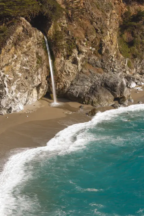 McWay FallsCalifornia · 134 mi straight-linePartly open80FT
On these lists: Dog-friendly waterfalls
Sources
- Marin Water: Mt. Tam Watershed visitor information
- Marin Water: Visitor census data summary (2023)
- One Tam: Cataract Trail
- Golden Gate National Parks Conservancy: Cataract Trail
- Marin Water: Pine Mountain Tanks project
- Marin Water: Parking passes
- NPS Yosemite: Waterfalls
- Marin Water: Mt. Tamalpais Watershed Visitor Map (Oct 2024)
Last verified Oct 28, 2026 by The Waterfall Guide editorial team. Conditions change: confirm with Marin Water (Marin Municipal Water District), Mt. Tamalpais Watershed before you go. Spotted something out of date? Report a correction.