Right now
Right now as of Oct 27, 2026
- Status State Parks' page, last checked Oct 27, 2026, says day-use areas, restrooms, camping and the Partington Cove Trail have reopened after the 2026 fires. The McWay Falls Overlook Trail is still listed as closed for a retaining-wall project, with no reopening date.
- Permit No permit needed. Entry fee: $10/vehicle.
Status note (Oct 27, 2026): State Parks' page, last checked Oct 27, 2026, says day-use areas, restrooms, camping and the Partington Cove Trail have reopened after the 2026 fires. The McWay Falls Overlook Trail is still listed as closed for a retaining-wall project, with no reopening date. All backcountry trails east of Highway 1 remain closed indefinitely. What the status labels mean
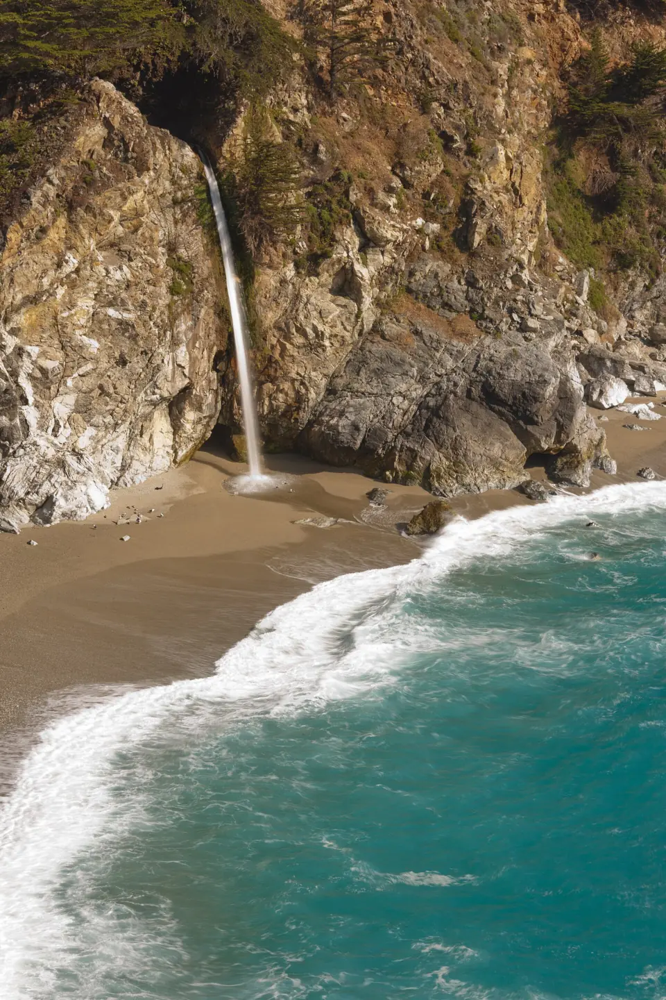
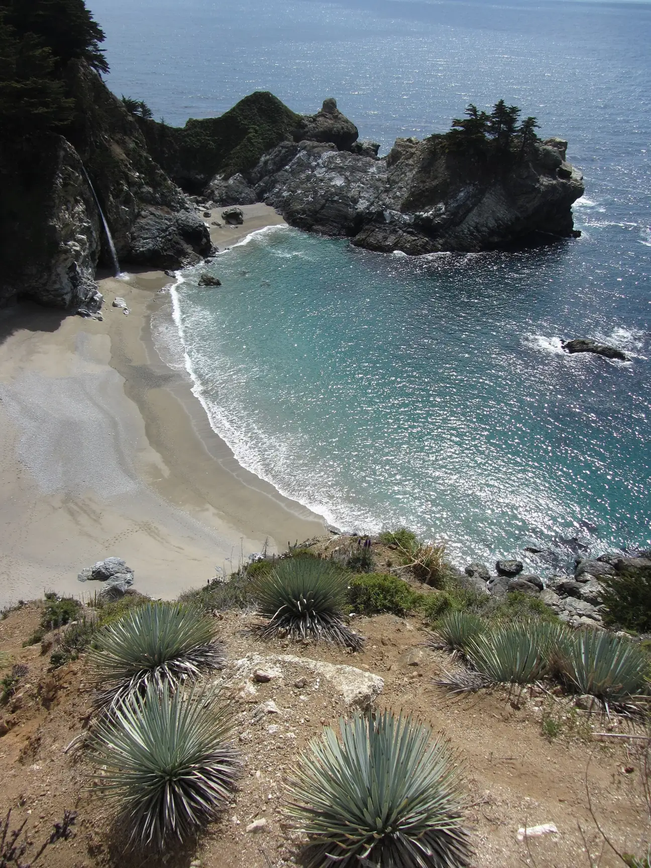
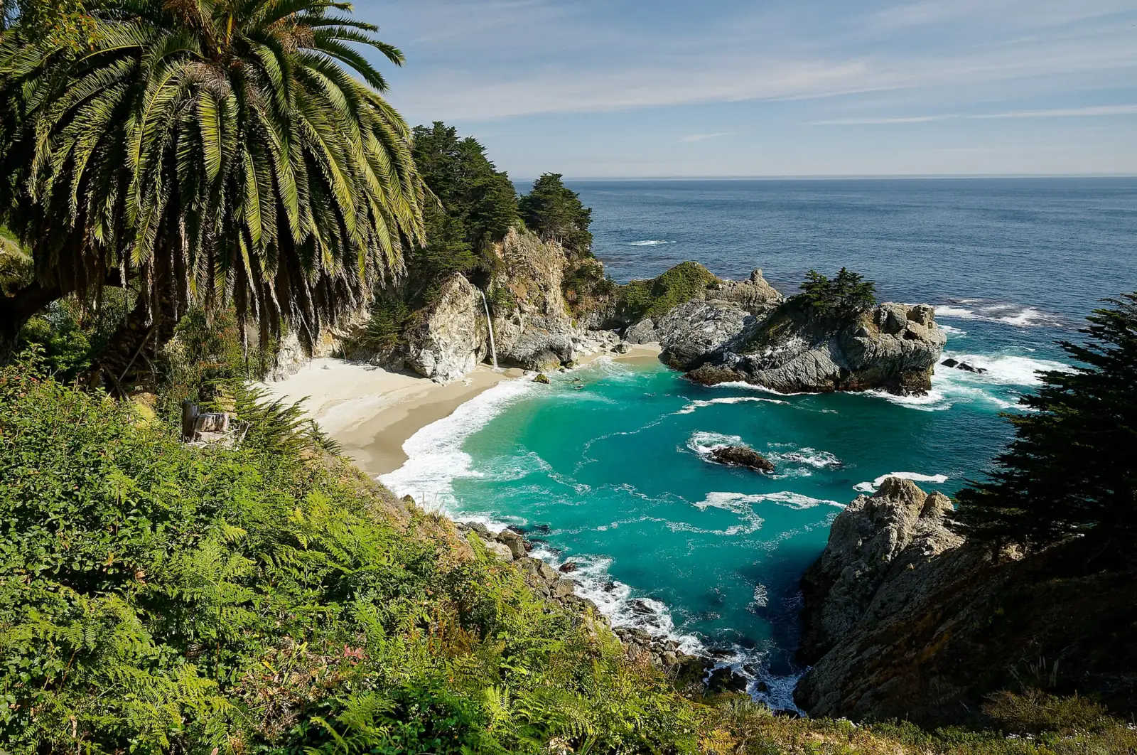
McWay Falls is an 80-foot waterfall in Julia Pfeiffer Burns State Park, 37 miles south of Carmel, where McWay Creek drops onto a beach in McWay Cove. As of October 27, 2026, State Parks still lists the 0.5-mile overlook trail as closed for retaining-wall work, and the beach is off limits. Day use and camping have reopened after the 2026 fires, with a $10 vehicle fee.
About McWay Falls
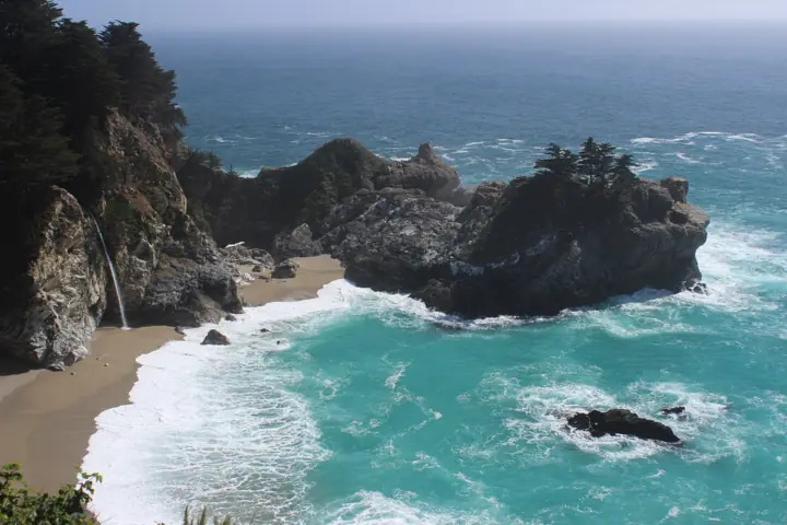
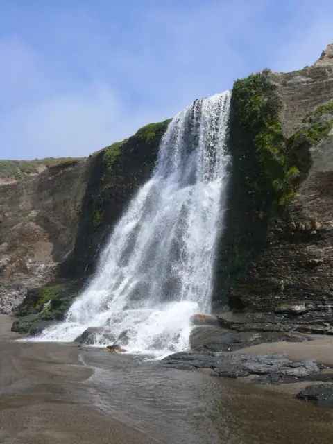
McWay Falls is a waterfall that pours onto a beach and, at high tide, into the ocean. It is one of only two tidefalls in California, according to the California Conservation Corps. The other is Alamere Falls in Point Reyes National Seashore. California State Parks gives its height as 80 feet.
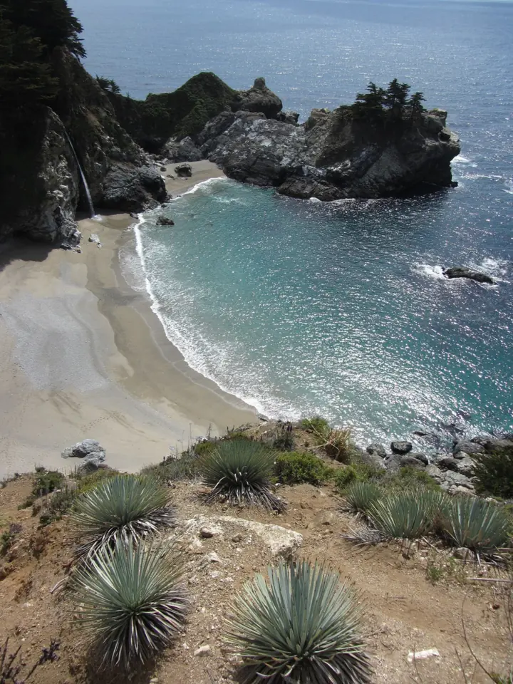
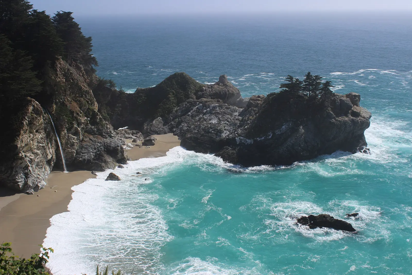
The cove looked different before 1983. Landslides that year deposited sand in McWay Cove and built the beach below the falls. Since then, the water reaches the ocean only at high tide, Wikipedia says.
According to Wikipedia, the overlook sits on the site of Waterfall House, which Lathrop and Helene Brown built in 1940. The same article says Helene donated the land to the state in 1961, and the house was torn down in 1965.
Storms damaged the overlook trail. In June 2026, the California Conservation Corps described crews working on ropes and harnesses to build a new rock wall to support it. As of October 27, 2026, State Parks still lists the trail as closed, with no reopening date.
Getting there and parking
Julia Pfeiffer Burns State Park is on Highway 1, 37 miles south of Carmel and 12 miles south of Pfeiffer Big Sur State Park, according to State Parks. Park in the day-use lot inside the park for $10 per vehicle. Hours are 8am to sunset.
State Parks says special rates may apply on peak days, holidays and weekends, and prices can change. Camping in the park has reopened, along with the day-use areas and restrooms.
Highway 1 status
Highway 1 through Big Sur has been fully open since September 14, 2026, the SF Chronicle reported, after slide and fire closures. Caltrans reopened the road at Regent's Slide at noon on January 14, 2026. That restored travel along the whole Big Sur coast for the first time in almost three years.
Fire shut things down again later in 2026. A 10-mile stretch closed August 11 for the Timber Fire and grew to 40 miles on August 27 after the Plaskett Fire. Caltrans reopened a northern stretch on September 3. The whole highway reopened on September 14, 2026, the SF Chronicle reported.
Burned slopes raise the risk of flooding and debris flows that can damage the road, the Chronicle noted. Caltrans warns of occasional full closures for storm debris. Check Caltrans QuickMap before you set out.
Map and nearby falls
Map loads as you scroll. Open in OpenStreetMap
OpenPartly open / seasonalUnconfirmedClosedLarger map
Overlook trail and how to see the falls
The McWay Falls Overlook Trail is a 0.5-mile round trip. As of October 27, 2026, State Parks lists it as closed for a retaining-wall project, with no reopening date.
How to see McWay Falls while the overlook is closed
State Parks has not named an alternative viewpoint while the overlook trail is closed. Ask at the entrance kiosk, or check the park's trails page on the day you go. Park only in the day-use lot, not along Highway 1, and stay behind closure signs. The Partington Cove Trail is open if you want another short walk in the park.
McWay Falls Overlook Trail
The McWay Falls Overlook Trail, also called the Waterfall Overlook Trail, is 0.5 mile round trip and rated easy. It starts at the stairs near the entrance kiosk. State Parks lists it as closed for a retaining-wall project and has not posted a reopening date.
State Parks doesn't publish elevation gain or wheelchair access details for the overlook trail. Dogs are not allowed in the park.
Partington Cove Trail
The Partington Cove Trail is a 1-mile round trip elsewhere in the park, and State Parks lists it as reopened.
Closed trails
All backcountry trails east of Highway 1, including Ewoldsen, remain closed indefinitely, according to State Parks' park alert. CAL FIRE listed the Timber Fire at 25,352 acres and 97% contained in its last update on October 18, 2026. It is no longer a CAL FIRE incident; Los Padres National Forest now manages it.
When to visit
There's no official best month for McWay Falls, and State Parks doesn't describe its seasonal flow. That sets it apart from Sierra snowmelt falls such as Yosemite Falls, which NPS says is often dry by August.
Plan around access as much as flow. Caltrans warns that storms can close Highway 1, and the 2026 fires showed that late summer can bring closures too. Check both Caltrans and the park page before a long drive.
Sunset and light
The park is open from 8am to sunset, so you can't stay in the day-use area after the sun goes down. For late-day light, arrive well before sunset to park and walk. Special day-use rates may apply on weekends and holidays.
| Height | 80 ftNote: per California State Parks |
|---|---|
| Trail | McWay Falls Overlook Trail: 0.5 mi round trip from the stairs near the entrance kiosk (listed closed for retaining-wall work) |
| Difficulty | Easy |
| Entry fee | $10 per vehicle for day use; State Parks says special rates may apply on peak days, holidays and weekends |
| Permit / reservation | None needed |
| Parking | Park day-use lot off Highway 1 ($10) |
| Hours / season | 8am to sunset (State Parks) |
| Dogs | Not allowed |
| Swimming | No. There is no beach or ocean access; the beach, Saddle Rock and the falls area are off limits, and violators can be cited and arrested. |
| Walk behind the falls | No |
| Restrooms | Day-use restrooms reopened in 2026 |
| Managed by | California State Parks, Julia Pfeiffer Burns State Park |
Safety and swimming
There is no beach or ocean access at McWay Falls. State Parks says the beach, Saddle Rock and the falls area are completely off limits. Anyone who enters can be cited and arrested.
Do not climb past railings, fences or closure signs, including on the overlook trail while it is closed. The California Conservation Corps says its crews worked on ropes and harnesses to rebuild the wall that supports this trail.
Swimming is not allowed. On Highway 1, watch for slides, debris and closures after storms, and use the park lot rather than stopping in traffic for a photo. For general tips, see our waterfall safety guide.
Where to stay near McWay Falls
Compare hotels, cabins and rentals close to the falls around Big Sur.
See places to stay nearbyAffiliate link: we may earn a commission at no cost to you. Partners do not see or change our waterfall facts. Disclosure.
Photos
McWay Falls FAQ
Is McWay Falls open right now?
The park is, but the overlook trail isn't. As of October 27, 2026, day use, restrooms and camping at Julia Pfeiffer Burns State Park have reopened. State Parks still lists the 0.5-mile McWay Falls Overlook Trail as closed for a retaining-wall project, with no reopening date.
Can you go down to the beach at McWay Falls?
No. State Parks says there is no beach or ocean access. The beach, Saddle Rock and the falls area are completely off limits, and trespassers can be cited and arrested.
How far is McWay Falls from Carmel?
Julia Pfeiffer Burns State Park is 37 miles south of Carmel on Highway 1, according to State Parks. It is 12 miles south of Pfeiffer Big Sur State Park. Check Caltrans QuickMap for closures before you drive.
Is Highway 1 open to McWay Falls?
Yes, as of October 2026. Caltrans reopened Regent's Slide on January 14, 2026. The Timber and Plaskett fires closed the road again in August, and it fully reopened on September 14, 2026, the SF Chronicle reported. Caltrans warns of closures after storms, so check QuickMap.
How much does it cost to park at McWay Falls?
Day use at Julia Pfeiffer Burns State Park is $10 per vehicle. State Parks says special rates may apply on peak days, holidays and weekends.
Are dogs allowed at McWay Falls?
No. Dogs are not allowed at Julia Pfeiffer Burns State Park.
Is Julia Pfeiffer Burns State Park open after the 2026 fires?
Partly. Day-use areas, restrooms, camping and the Partington Cove Trail have reopened. All backcountry trails east of Highway 1, including Ewoldsen, remain closed indefinitely, State Parks says. CAL FIRE listed the Timber Fire at 97% containment on October 18, 2026.
Nearby waterfalls
More waterfalls to explore


Sources
- California State Parks: Julia Pfeiffer Burns SP (Last Checked 10/27/2026)
- California State Parks: Julia Pfeiffer Burns SP trails
- Caltrans District 5: Highway 1 to reopen at Regent's Slide (Jan 14, 2026)
- CAL FIRE: Timber Fire (last update Oct 18, 2026)
- SF Chronicle: Part of Highway 1 reopens in Big Sur (Sep 3, 2026)
- California Conservation Corps: Building upon CCC legacy at McWay Falls Overlook
- Wikipedia: McWay Falls
- SF Chronicle: Highway 1 reopens through Big Sur after weeks of wildfire closures (Sep 14, 2026)
Last verified Oct 27, 2026 by The Waterfall Guide editorial team. Conditions change: confirm with California State Parks, Julia Pfeiffer Burns State Park before you go. Spotted something out of date? Report a correction.