Right now
Status note (Nov 10, 2026): Open, as far as we can tell (Nov 10, 2026). The USFS road status list (updated Oct 9, 2026) shows Silver Lake South Parking for Falls of Lana as open. What the status labels mean
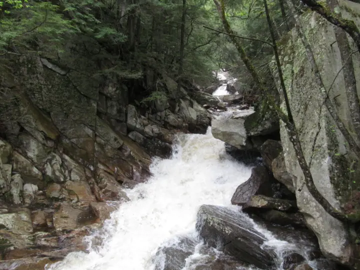
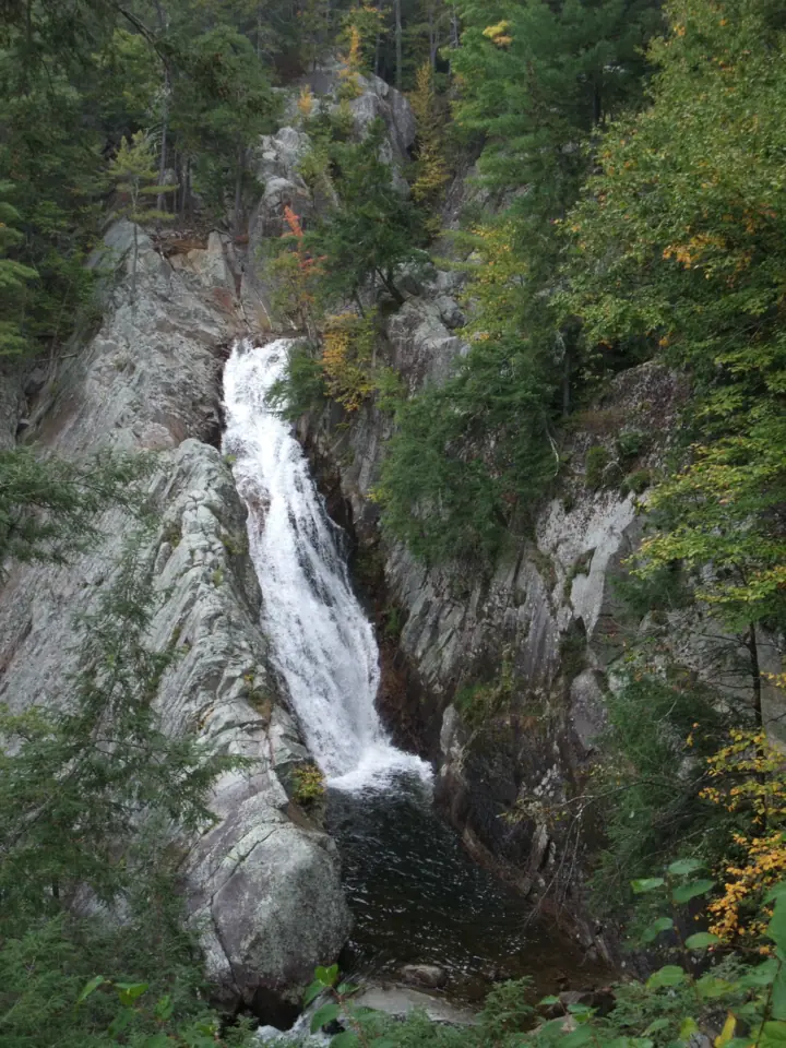
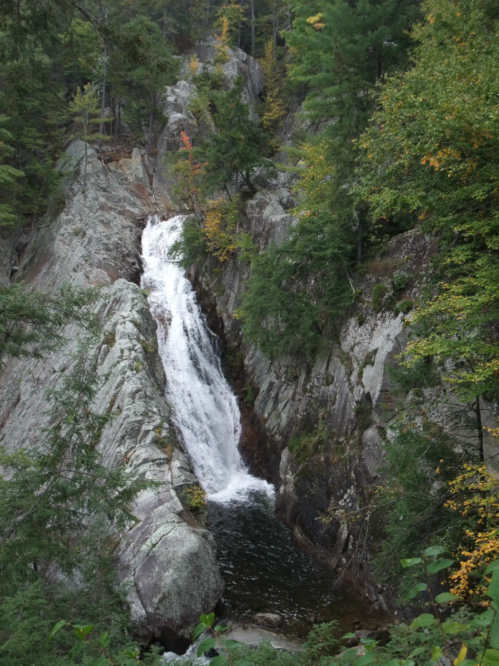
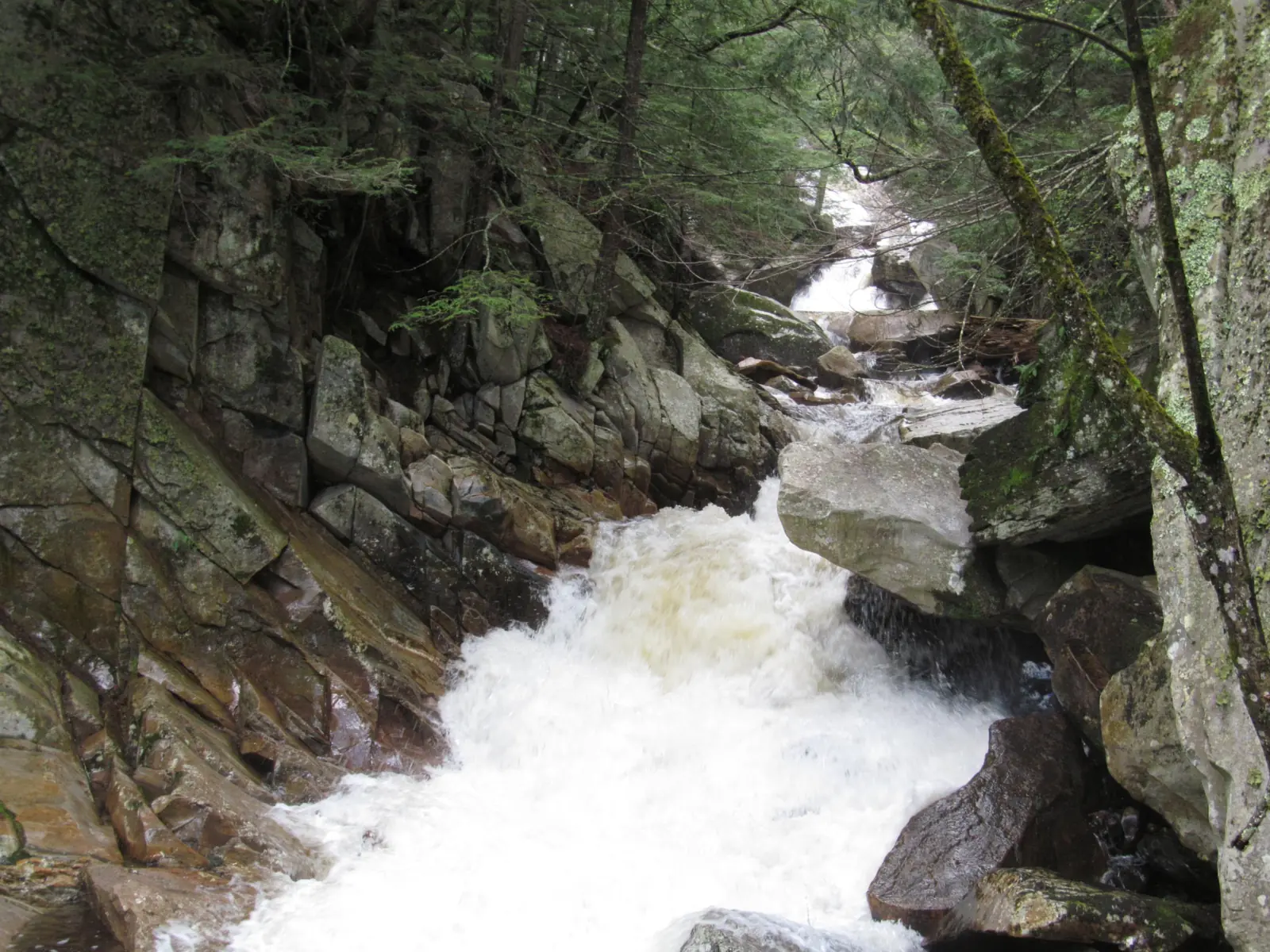
Falls of Lana is on Sucker Brook in the Green Mountain National Forest, east of Branbury State Park in Salisbury, Vermont. The USFS says the falls picnic area is about 0.5 mile up the Silver Lake Trail from a lot on Route 53. A 2011 USFS guide says the trail keeps climbing to Silver Lake.
About Falls of Lana
Falls of Lana is in the Green Mountain National Forest in Salisbury, Vermont. Vermont State Parks says the national forest borders Branbury State Park to the east. The park sits on Lake Dunmore's eastern shore. A 2010 USFS trail map labels the falls on Sucker Brook.
In 2024, the USFS described the Silver Lake / Falls of Lana parking lot as heavily used. A 2011 USFS guide lists the area's features as a lake, a waterfall and a multi-use recreation area.
Trail Finder lists Falls of Lana among the Moosalamoo National Recreation Area trails. It says the USFS trailhead is "just before the state park entrance on the right side of VT-53 (if approaching from Brandon)."
The USFS publishes no height for the falls, so we list none.
About our map pin
Our map pin is the USGS GNIS point for Falls of Lana, in Addison County. We have no trailhead pin; use the USFS parking directions below.
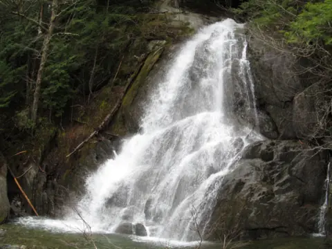
For other Vermont falls, see Moss Glen Falls (Granville) and Warren Falls on the Mad River, or browse all Vermont waterfalls.
Getting there and parking
The USFS says to park on the east side of Vermont Route 53, 0.2 mile south of Branbury State Park.
A 2011 USFS guide gives two routes. From Middlebury, take Route 7 to Route 53 and follow Route 53 for 3.9 miles; parking is on the left.
From Rochester, take Route 100 south to Route 73, then Route 73 west to Route 53. Turn right and follow Route 53 for about 5.5 miles; parking is on the right.
Parking
The USFS closed the lot temporarily from June 19 to 28, 2024, for paving and expansion. During that work, it pointed visitors to Branbury State Park parking for a small fee.
Branbury State Park is at 3570 Lake Dunmore Road in Salisbury. Vermont State Parks says day-use fees apply there.
Contact
Middlebury/Rochester Ranger Station: (802) 767-4261. Green Mountain National Forest Supervisor's Office: (802) 747-6700.
Map and nearby falls
Map loads as you scroll. Open in OpenStreetMap
OpenPartly open / seasonalUnconfirmedClosedLarger map
Falls of Lana hike: Silver Lake Trail from Route 53
The USFS says that after about 0.5 mile on the Silver Lake Trail, you reach the Rattlesnake Cliff Trail junction on a sharp curve. "Straight ahead, across Sucker Brook, is the picnic area at the Falls of Lana," it says.
A 2011 USFS guide says the Silver Lake Trail follows an old carriage road past the Falls of Lana and Silver Lake. It reaches the Leicester Hollow Trail junction at 1.6 miles.
The same guide says the trail "goes uphill all the way and is fairly steep from Route 53 to Silver Lake." It lists a maximum elevation change of 850 feet. The guide rates the Silver Lake Area Trails as moderate overall.
Rattlesnake Cliffs
The Rattlesnake Cliff Trail begins at the Falls of Lana picnic area, per the USFS. A 2010 USFS guide lists the Rattlesnake Cliffs and Aunt Jenny Trail at 3.2 miles round trip, rated moderate to difficult.
That 2010 guide says the trail to the cliffs is closed from March to August in some years, to protect nesting peregrine falcons.
Dogs
The 2011 USFS guide says dogs must be on a leash at all times.
When to visit
We found no official best season for Falls of Lana.
Status checks
The USFS road status list, updated Oct 9, 2026, shows Silver Lake South Parking for Falls of Lana as open. Call the Middlebury/Rochester Ranger Station at (802) 767-4261 to confirm.
Branbury State Park season
If you plan to use the state park lot, Vermont State Parks lists Branbury's season as the second weekend in May through the second Monday in October.
Silver Lake camping rules
A USFS order in place since April 25, 2010, bans camping within 500 feet of the Silver Lake shoreline, except at designated campsites. It also limits a developed campsite to six people and bans internal combustion engines.
| Trail | The USFS says to park on the east side of Vermont Route 53 and walk the Silver Lake Trail. After about 0.5 mile, the picnic area at the Falls of Lana is straight ahead, across Sucker Brook. |
|---|---|
| Difficulty | A 2011 USFS guide rates the Silver Lake Area Trails moderate. It says the Silver Lake Trail goes uphill all the way and is fairly steep. |
| Entry fee | The USFS pages we read list no fee for the Route 53 trailhead. Vermont State Parks says day-use fees apply at nearby Branbury State Park. |
| Permit / reservation | No permit listed. A USFS order in place since 2010 bans camping within 500 feet of Silver Lake except at designated campsites. |
| Parking | USFS lot on Route 53, 0.2 mi south of Branbury State Park |
| Dogs | A 2011 USFS guide to the Silver Lake Area Trails says dogs must be on a leash at all times. |
| Wheelchair / stroller | No official accessibility information found. A 2011 USFS guide calls the Silver Lake Trail fairly steep. |
| Best time to visit | No official best month found. |
| Crowds | In a June 2024 release, the USFS called the Silver Lake / Falls of Lana lot heavily used. A 2011 USFS guide also rates use as heavy. |
| Managed by | USDA Forest Service, Green Mountain National Forest (Middlebury/Rochester Ranger District) |
Safety and swimming
The 2011 USFS guide says there is no drinking water in the Silver Lake area, so bring your own. It also asks you to carry out what you carry in.
Expect a steady climb: the guide calls the trail fairly steep from Route 53 to Silver Lake.
Check for peregrine falcon closures before heading up to Rattlesnake Cliffs from March to August.
In an emergency, call 911. Our waterfall safety guide has more on staying safe near falls.
Conditions change: confirm with the official source before you go.
Where to stay near Falls of Lana
Compare hotels, cabins and rentals close to the falls around Salisbury.
See places to stay nearbyAffiliate link: we may earn a commission at no cost to you. Partners do not see or change our waterfall facts. Disclosure.
Photos
Falls of Lana FAQ
Is Falls of Lana open now?
As far as we can tell, yes (Nov 10, 2026). The USFS road status list, updated Oct 9, 2026, shows Silver Lake South Parking for Falls of Lana as open.
How long is the walk to Falls of Lana?
The USFS says the falls picnic area is about 0.5 mile up the Silver Lake Trail from the Route 53 parking. A 2011 USFS guide calls the trail fairly steep.
Where do you park for Falls of Lana?
The USFS says to park on the east side of Route 53, 0.2 mile south of Branbury State Park. In a June 2024 release, it also pointed visitors to Branbury State Park parking for a small fee.
Is there a fee at Falls of Lana?
The USFS pages we read list no fee for the Route 53 trailhead. Vermont State Parks says day-use fees apply at Branbury State Park.
Are dogs allowed at Falls of Lana?
A 2011 USFS guide to the Silver Lake Area Trails says dogs must be on a leash at all times.
Nearby waterfalls
 Moss Glen Falls (Granville)13 mi straight-line, by our mathOpen
 Warren Falls16 mi straight-line, by our mathOpen
 Bingham Falls45 mi straight-line, by our mathOpen
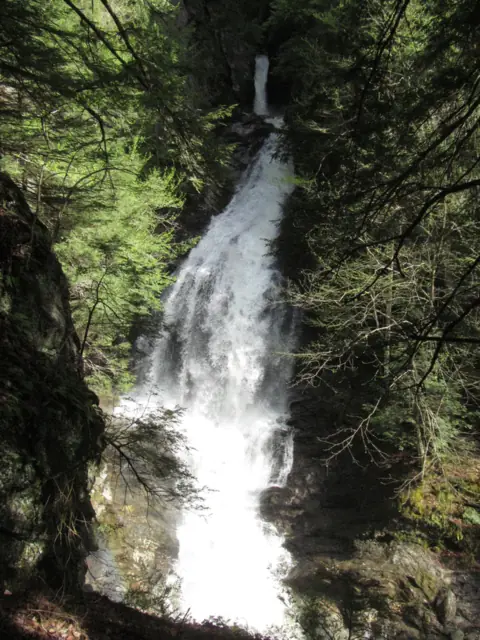 Moss Glen Falls45 mi straight-line, by our mathOpenPLUS 100FT
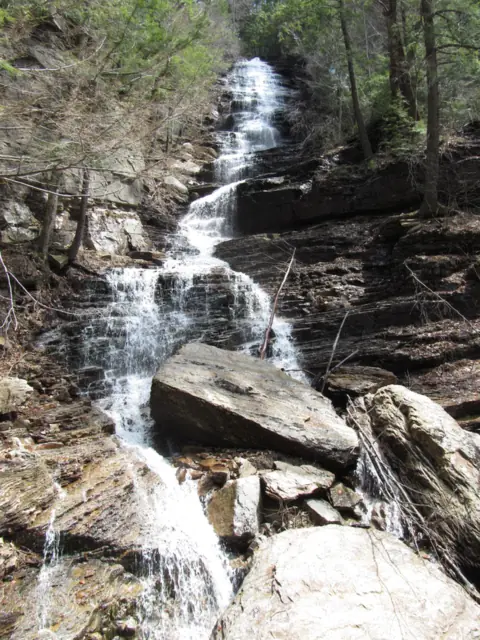 Lye Brook Falls53 mi straight-line, by our mathSeasonal125FT
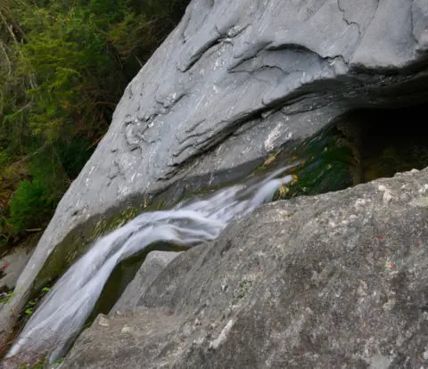 Hamilton Falls55 mi straight-line, by our mathSeasonal125FT
Sources
- USDA Forest Service: Explore the Forest! (Silver Lake Trail and Rattlesnake Cliff Trail entries; read Nov 10, 2026)
- USDA Forest Service: Current Conditions (road status list updated Oct 9, 2026; read Nov 10, 2026)
- USDA Forest Service: Parking Area in Salisbury to be Temporarily Closed for Repairs (June 10, 2024)
- USDA Forest Service: Silver Lake Occupancy Restrictions, Order 2010-04 (read Nov 10, 2026)
- USDA Forest Service: Silver Lake Area Trails, Recreational Opportunity Guide (last modified July 5, 2011; hosted by the Moosalamoo Association)
- USDA Forest Service: Rattlesnake Cliffs and Aunt Jenny Trail, Recreational Opportunity Guide (last modified Feb 2, 2010; hosted by the Moosalamoo Association)
- Vermont State Parks: Branbury State Park (season, fees; read Nov 10, 2026)
- Trail Finder: Branbury State Park (Moosalamoo trailhead note; read Nov 10, 2026)
- USGS GNIS: Falls of Lana, feature ID 1461057 (coordinates, Addison County)
Last verified Nov 10, 2026 by The Waterfall Guide editorial team. Conditions change: confirm with USDA Forest Service, Green Mountain National Forest (Middlebury/Rochester Ranger District) before you go. Spotted something out of date? Report a correction.