Right now
Right now as of Nov 8, 2026
- Status The USFS lists Glen Road access to the Lye Brook trail as "Summer only" and gives no dates (checked Nov 8, 2026). Call (802) 747-6700 to ask about the road before you go.
Status note (Nov 8, 2026): The USFS lists Glen Road access to the Lye Brook trail as "Summer only" and gives no dates (checked Nov 8, 2026). Call (802) 747-6700 to ask about the road before you go. The trail itself is open, as far as we can tell. No Green Mountain alert names it, and the USFS list of damaged or closed trails does not include it. What the status labels mean
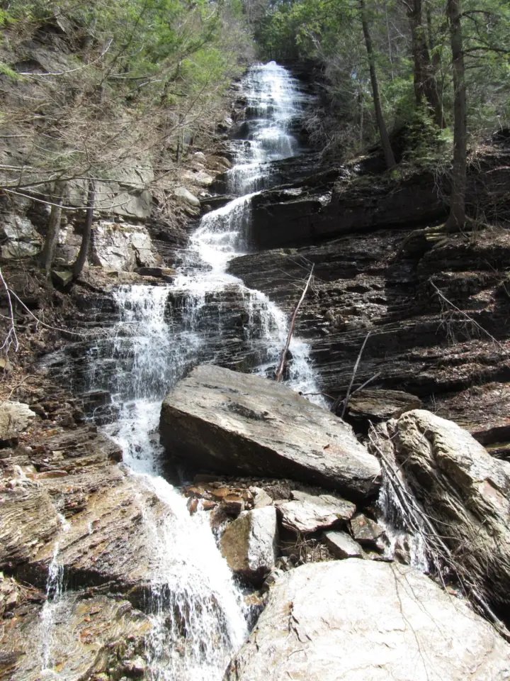
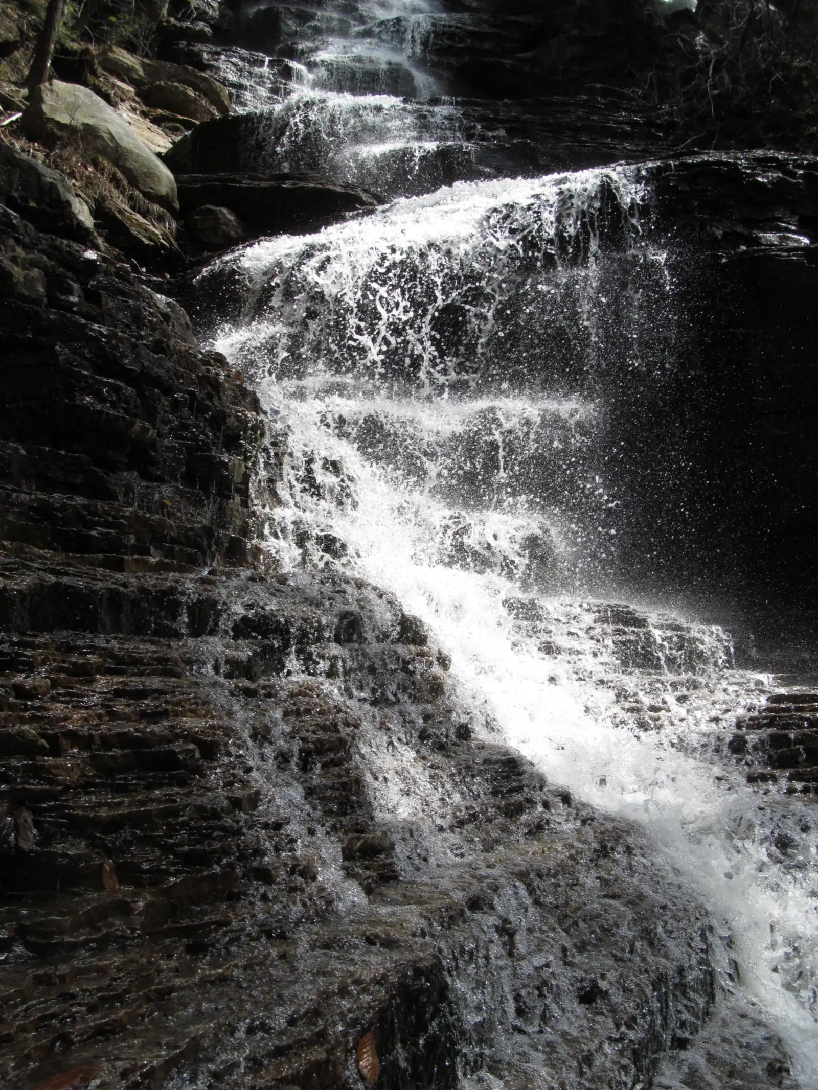
Lye Brook Falls is a 125-foot falls in the Lye Brook Wilderness of Green Mountain National Forest, near Manchester, Vermont. The USFS calls it one of the highest in Vermont. A blue-blazed trail climbs old logging grades, and a spur at 1.8 miles leads to the falls. Glen Road access is listed as summer only.
About Lye Brook Falls
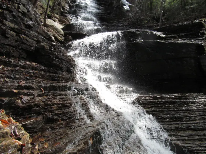
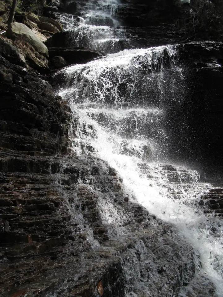
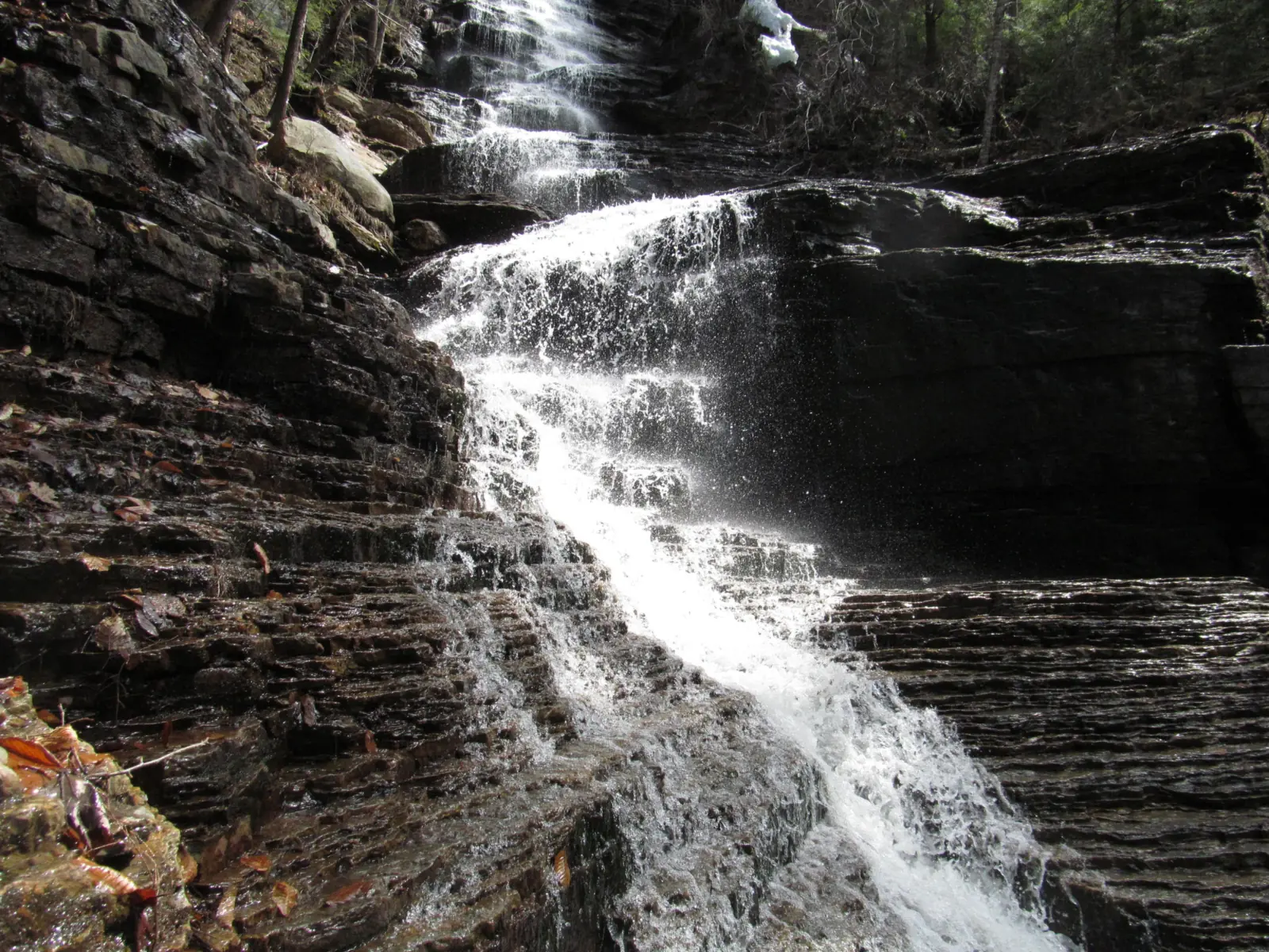
Lye Brook Falls is on the Manchester District of Green Mountain National Forest. The USFS describes "the 125-foot high Lye Brook Falls, one of the highest in Vermont."
The falls are reached through the Lye Brook Wilderness, which the USFS trail page puts at 18,122 acres. The USFS says the wilderness is named after Lye Brook, which flows through its western half.
Logging history
The USFS says the area was heavily logged a century ago, "with railroads, charcoal kilns, and sawmills dotting the landscape." The land has grown back, but remains of those industries can still be found.
The trail itself uses old logging railroad grades and old woods roads, per the USFS.
About our map pins
Our map pin is the OpenStreetMap point for the falls, and the trailhead pin is its point for the Lye Brook Falls Trailhead lot. Census TIGERweb places the falls in Bennington County.
Getting there and parking
The USFS directions: from Route 7 in Manchester, go about 1/4 mile east on Route 11/30 to East Manchester Road. Follow East Manchester Road south about 1.0 mile and turn left onto Glen Road, just before the overpass.
Follow Glen Road and bear right at the fork onto the Lye Brook Access Road. The trailhead is east of the parking lot at the end of that road.
Seasonal access
The USFS Lye Brook Wilderness page says Glen Road "gives access via the Lye Brook trail. Summer only." It does not give dates, and it is not summer now. Call the Forest Service at (802) 747-6700 before you go.
Facilities and fees
The USFS wilderness page says potable water is not available, and it has no restroom information. Bring water.
We found no fee or pass on the USFS trail or wilderness pages. The Supervisor's Office is at (802) 747-6700.
Map and nearby falls
Map loads as you scroll. Open in OpenStreetMap
OpenPartly open / seasonalUnconfirmedClosedLarger map
Lye Brook Falls Trail: old railroad grades, stream crossings and a spur
The USFS says the trail is "marked with blue blazes" and enters the Lye Brook Wilderness, following along Lye Brook.
The climb
Using old logging railroad grades and woods roads, the trail "travels up a steady gradual slope," per the USFS. Stream crossings and storm-damaged sections can make parts of it challenging.
The USFS says those rough spots are "in keeping with Wilderness management practices." It adds that trail blazing, maintenance and signage may be minimal in wilderness areas.
The spur to the falls
"The spur trail at 1.8 miles on the right, leads to the 125-foot high Lye Brook Falls," the USFS says. It does not give the spur's length or a round-trip total, so we don't list one.
Wilderness rules
A USFS forest order for Green Mountain wilderness areas, including Lye Brook, bans storing equipment or supplies and using wagons, carts or other vehicles. The USFS also asks hikers to carry out what they carry in.
Dogs and accessibility
We found no official pet rule on the USFS pages we read. The trail is not suited to wheelchairs, by our reading: it has stream crossings and storm-damaged sections.
When to visit
The USFS publishes no best season for the falls, but it gives a few seasonal notes.
Spring and early summer
The USFS wilderness page says to "be prepared for muddy trails and an intense black fly season in the spring and early summer."
Hunting season
The USFS says "hunting opportunities for deer bring many seasonal visitors" to the wilderness. Keep that in mind when you plan a hike.
Winter
The USFS lists Glen Road access to the Lye Brook trail as summer only. It also says snowshoeing and cross-country skiing bring visitors to the wilderness in winter. Check access with the Forest Service first.
Status checks
On Nov 8, 2026, no Green Mountain alert named the trail. The USFS list of heavily damaged or closed trails, updated April 24, 2026, did not include it, though the USFS says that list may not be exhaustive.
| Height | 125 ftNote: USFS: "the 125-foot high Lye Brook Falls, one of the highest in Vermont" |
|---|---|
| Trail | The Lye Brook Falls Trail is marked with blue blazes and enters the Lye Brook Wilderness along Lye Brook (USFS). It follows old logging railroad grades and woods roads up a steady gradual slope. A spur on the right at 1.8 miles leads to the falls. The USFS gives no round-trip total |
| Difficulty | No official rating. We call it moderate: the USFS describes a steady gradual slope, but says stream crossings and storm-damaged sections can make parts challenging |
| Entry fee | No fee is listed on the USFS Lye Brook Falls Trail or Lye Brook Wilderness pages. |
| Permit / reservation | No permit or fee is listed on the USFS Lye Brook Falls Trail page. Wilderness rules apply |
| Parking | Lot at end of Lye Brook Access Road |
| Dogs | No official rule found. The USFS trail and wilderness pages we read do not mention dogs. Supervisor's Office: (802) 747-6700 |
| Swimming | No official rule found. The USFS warns that slippery rocks make the falls extremely dangerous and does not recommend climbing them |
| Wheelchair / stroller | Not accessible, by our reading: a wilderness trail with stream crossings and storm-damaged sections (USFS) |
| Walk behind the falls | No |
| Restrooms | No restroom information on the USFS wilderness page. Potable water is not available. |
| Best time to visit | No official best month. The USFS lists Glen Road access as summer only and warns of muddy trails and black flies in spring and early summer |
| Crowds | No official visitor figure found |
| Managed by | USDA Forest Service, Green Mountain National Forest (Manchester District) |
Safety and swimming
The USFS warns: "Slippery rocks make the falls extremely dangerous and climbing the falls is not recommended." Stay off the rock face.
Expect stream crossings and storm-damaged trail. Turn back if a crossing looks unsafe.
Blazes and signs may be sparse in the wilderness, per the USFS. Note the spur junction at 1.8 miles so you can find the main trail again.
The USFS says "there are many marshy areas off trail and the ecological balance is quite fragile." Stay on the trail.
In an emergency, call 911. Our waterfall safety guide has more on staying safe near falls.
Conditions change: confirm with the official source before you go.
Where to stay near Lye Brook Falls
Compare hotels, cabins and rentals close to the falls around Manchester.
See places to stay nearbyAffiliate link: we may earn a commission at no cost to you. Partners do not see or change our waterfall facts. Disclosure.
Photos
Lye Brook Falls FAQ
Is the Lye Brook Falls Trail open now?
As far as we can tell, the trail is open (Nov 8, 2026), and no Green Mountain alert names it. But the USFS lists Glen Road access as summer only, with no dates. Call (802) 747-6700 before you go.
How tall is Lye Brook Falls?
The USFS says it is 125 feet high and calls it one of the highest in Vermont.
How long is the hike to Lye Brook Falls?
The USFS says the spur to the falls leaves the main trail on the right at 1.8 miles. It does not publish the spur's length or a round-trip total.
Where is the Lye Brook Falls trailhead?
At the end of the Lye Brook Access Road in Manchester. From East Manchester Road, turn onto Glen Road just before the overpass, then bear right at the fork, per the USFS.
Can you climb Lye Brook Falls?
The USFS says slippery rocks make the falls extremely dangerous and that climbing them is not recommended.
Is there a fee at Lye Brook Falls?
We found no fee or pass on the USFS Lye Brook Falls Trail or Lye Brook Wilderness pages.
Are dogs allowed on the Lye Brook Falls Trail?
We found no official rule. The USFS pages we read do not mention dogs, so call the Supervisor's Office at (802) 747-6700.
Nearby waterfalls
 Hamilton Falls14 mi straight-line, by our mathSeasonal125FT
 Wahconah Falls45 mi straight-line, by our mathOpen40FT
 Falls of Lana53 mi straight-line, by our mathOpen
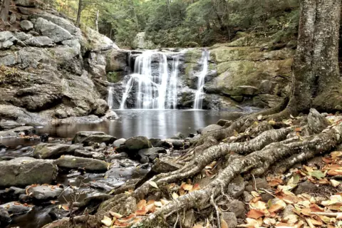 Doane's Falls54 mi straight-line, by our mathOpen
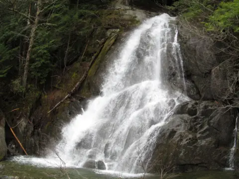 Moss Glen Falls (Granville)62 mi straight-line, by our mathOpen
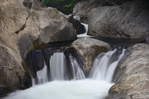 Warren Falls67 mi straight-line, by our mathOpen
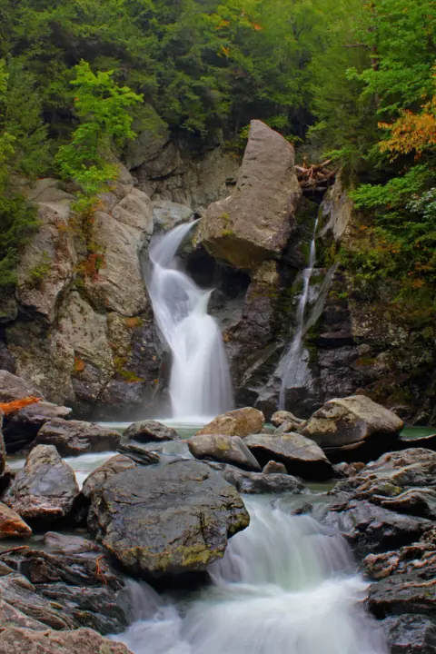 Bash Bish Falls74 mi straight-line, by our mathOpen60FT
City guides: Waterfalls near Albany, NY
Sources
- USDA Forest Service: Lye Brook Falls Trail (description, height, spur, directions; updated Sept 16, 2026; read Nov 8, 2026)
- USDA Forest Service: Lye Brook Wilderness (access, seasons, facilities; updated Sept 16, 2026)
- USDA Forest Service: Wilderness Areas Use Restrictions, Green Mountain National Forest (Forest Order #2010-10)
- USDA Forest Service: Heavily damaged or closed trails (updated April 24, 2026; Lye Brook not listed)
- USDA Forest Service: Green Mountain and Finger Lakes National Forests alerts (read Nov 8, 2026)
- OpenStreetMap: Lye Brook Falls, node 10162859415 (map pin)
- OpenStreetMap: Lye Brook Falls Trailhead parking, relation 11241660 (trailhead pin)
- US Census Bureau TIGERweb: county lookup for the falls point (Bennington County; Nov 8, 2026)
Last verified Nov 8, 2026 by The Waterfall Guide editorial team. Conditions change: confirm with USDA Forest Service, Green Mountain National Forest (Manchester District) before you go. Spotted something out of date? Report a correction.