Right now
Right now as of Oct 28, 2026
- Permit No permit needed. Fee: no fee listed.
- Heads-up Accessible flush restrooms at the waterfall lot, closed in fall and winter.
Status note (Oct 28, 2026): Open. The district lists hours of 1 hour after sunrise to 1 hour after sunset. No alerts were posted on the Forest Preserve District page as of October 28, 2026. What the status labels mean
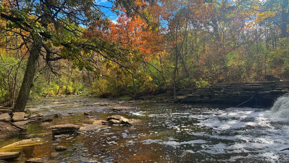
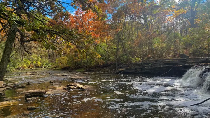
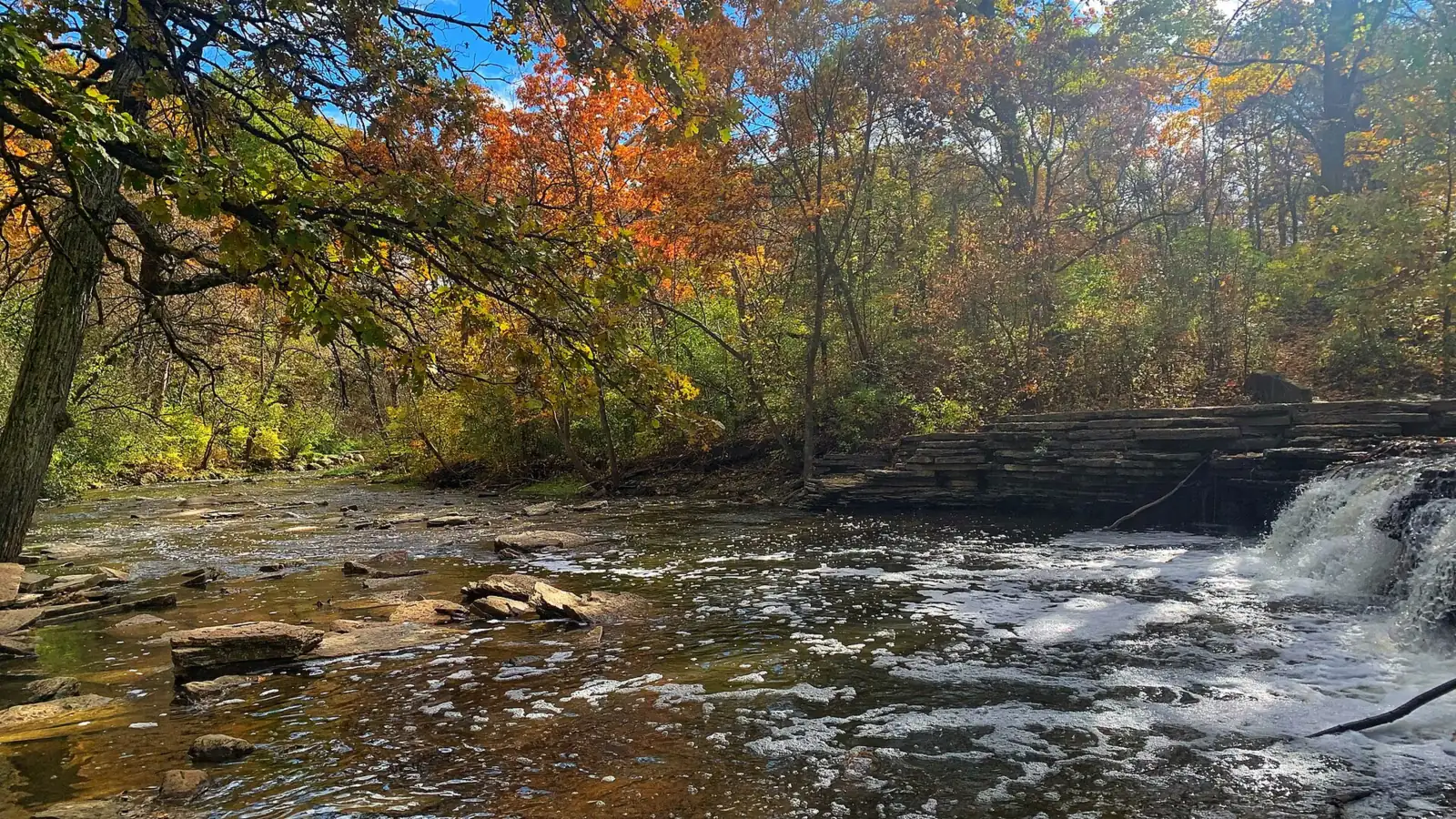
Waterfall Glen Falls, also called Rocky Glen Waterfall, is a small, stepped falls on Sawmill Creek in Waterfall Glen Forest Preserve near Darien. The Civilian Conservation Corps built its tiers in the 1930s, and a short spur trail leads to it. The district lists no entry or parking fee, and the closest lot is the waterfall lot on Bluff Road. The preserve is open 1 hour after sunrise to 1 hour after sunset.
About Waterfall Glen Falls
Waterfall Glen Falls (Rocky Glen Waterfall) is a small stepped falls on Sawmill Creek in Waterfall Glen Forest Preserve near Darien, Illinois. The Forest Preserve District of DuPage County says the Civilian Conservation Corps built its tiers in the 1930s. The preserve itself isn't named for the falls: the district says it honors Seymour "Bud" Waterfall, an early board president, and was named in 1973.
According to Wikipedia, runoff from a nearby mill had eroded the falls, and the CCC restored them to their naturally tiered state. The water is Sawmill Creek, which continues on to the Des Plaines River.
The site has a working past. The district says the Ward Brothers ran a mill on Sawmill Creek in the late 1800s, and Edwin Walker operated three quarries in the area. We could not find a published height for the falls.
Getting there and parking
Waterfall Glen Forest Preserve covers 2,503 acres, according to the district, and completely surrounds Argonne National Laboratory, Wikipedia notes. The district lists no entry or parking fee. It describes three parking areas, so pick the one that matches your plan.
Which parking lot to use
For the falls: use the waterfall parking lot on the south side of Bluff Road, 0.3 mile east of Cass Avenue. It is the lot the district names for the waterfall, and the flush restrooms are here.
Main entrance: on the north side of Northgate Road, 0.25 mile west of Cass Avenue, with parking for horse trailers. It's a good start for the Main Trail loop.
Lemont Road lot: on the east side of Lemont Road at the intersection with 101st Street. The district does not number its lots, so use these names and cross streets in your map app.
Map and nearby falls
Map loads as you scroll. Open in OpenStreetMap
OpenPartly open / seasonalUnconfirmedClosedLarger map
The walk
The walk to Waterfall Glen Falls is short. The Rocky Glen Trail, a limestone spur off the 9.5-mile Main Trail, starts near the waterfall lot on Bluff Road.
Rocky Glen spur to the falls
The district's trail map key lists it as a 0.2-mile limestone trail; check the trailhead map for the full distance from the lot.
We could not confirm wheelchair access for the spur, so contact the district if you need a step-free route.
The 9.5-mile Main Trail loop
The district says the preserve has four mapped trails containing almost 11 miles of limestone- and turf-covered routes. The longest is the Main Trail, a 9.5-mile crushed-limestone loop around Argonne National Laboratory, according to Wikipedia. The district trail map (PDF) shows all four.
Bicyclists may ride only on designated bike trails, the district says. Dogs are allowed on a leash shorter than 10 feet. You can make a short visit to the falls or add a section of the loop.
When to visit
Waterfall Glen Forest Preserve is open year-round, from 1 hour after sunrise to 1 hour after sunset. USGS records for Sawmill Creek near Lemont (gauge 05533400, 1996 to 2025) show the highest average flows in April and May and the lowest in September and November.
Spring is the best bet for a fuller flow over the tiers. In winter, the district says rangers groom trails for cross-country skiing when conditions permit.
Plan restroom stops by season. The accessible flush restrooms at the waterfall lot close in fall and winter, and the district lists accessible portable toilets.
Groups can also use the preserve's youth campground, which the district says has two sites that each hold up to 24 campers.
For a taller Midwest falls with a short boardwalk, see Brandywine Falls in Ohio's Cuyahoga Valley National Park. In Illinois, Matthiessen State Park Falls and Burden Falls are farther from Chicago.
When is the water highest?
At a USGS stream gauge about 1.3 mi from the falls, the flow averages highest in May and lowest in September, based on 30 years of records (1996 to 2025).
Show the numbers
| Month | Average flow (cfs) |
|---|---|
| January | 11 |
| February | 16 |
| March | 18 |
| April | 20 |
| May | 21 |
| June | 13 |
| July | 12 |
| August | 9.6 |
| September | 6.8 |
| October | 9.4 |
| November | 7.2 |
| December | 10 |
| Trail | Rocky Glen Trail, a short limestone spur to the falls (about 0.2 mi on the district map key) off the 9.5-mile Main Trail loop. It starts near the waterfall lot on Bluff Road |
|---|---|
| Difficulty | Easy |
| Entry fee | No entry or parking fee listed by the Forest Preserve District of DuPage County |
| Permit / reservation | None needed |
| Parking | Waterfall lot on Bluff Road, closest to the falls; no fee listed |
| Hours / season | 1 hour after sunrise to 1 hour after sunset (Forest Preserve District) |
| Dogs | Allowed on a leash shorter than 10 ft (Forest Preserve District) |
| Walk behind the falls | No |
| Restrooms | Accessible flush restrooms at the waterfall lot, closed in fall and winter; accessible portable toilets (Forest Preserve District) |
| Best time to visit | Year-round; the district grooms trails for cross-country skiing when conditions permit |
| Managed by | Forest Preserve District of DuPage County |
Safety and swimming
We could not confirm the district's rules on wading or swimming in Sawmill Creek. Check posted signs or ask the Forest Preserve District before you step into the water.
The stepped tiers are wet and can be slick. Do not climb on the falls. Stay on the trail and watch children near the water.
Conditions change: confirm hours and alerts with the Forest Preserve District of DuPage County before you go.
For general tips, see our waterfall safety page.
Where to stay near Waterfall Glen Falls
Compare hotels, cabins and rentals close to the falls around Darien.
See places to stay nearbyAffiliate link: we may earn a commission at no cost to you. Partners do not see or change our waterfall facts. Disclosure.
Photos
Waterfall Glen Falls FAQ
Is Waterfall Glen free?
No entry fee is listed. The Forest Preserve District lists no entry or parking fee, and no ticket is needed.
Is Waterfall Glen named after the waterfall?
No. The Forest Preserve District says the preserve is named for Seymour "Bud" Waterfall, an early district board president. It was named in 1973.
Is the waterfall at Waterfall Glen man-made?
Partly. The district says the Civilian Conservation Corps built the tiered Rocky Glen falls in the 1930s. Wikipedia says the CCC restored the falls to their naturally tiered state after runoff from a nearby mill eroded them.
Where do you park for the Waterfall Glen waterfall?
Use the waterfall parking lot on the south side of Bluff Road, 0.3 mile east of Cass Avenue. The district doesn't number its lots, so search for Bluff Road and Cass Avenue.
How long is the walk to the Waterfall Glen waterfall?
Short. The district's trail map key lists the Rocky Glen Trail at about 0.2 mile; check the trailhead map for the full distance from the lot.
What are the hours at Waterfall Glen?
The preserve is open from 1 hour after sunrise to 1 hour after sunset, year-round, according to the Forest Preserve District.
Are dogs allowed at Waterfall Glen?
Yes, on a leash shorter than 10 feet, the district says.
Nearby waterfalls

More waterfalls to explore
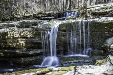 Burden FallsIllinois · 290 mi straight-lineOpen100FT TOTAL DESCENT
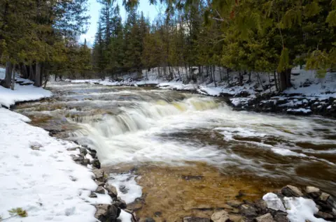 Ocqueoc FallsMichigan · 321 mi straight-lineUnconfirmed5FT
On these lists: Dog-friendly waterfalls
Sources
The 0.2-mile Rocky Glen Trail length comes from a search-result excerpt of the Forest Preserve District's trail map key, which we could not read directly. Confirm distances on the trailhead map.
- DuPage Forest Preserve District: Waterfall Glen (hours, lots, trails, rules, restrooms; read Oct 28, 2026)
- DuPage Forest Preserve District: Waterfall Glen trail map (PDF)
- USGS 05533400: Sawmill Creek near Lemont, IL (monthly mean flow, 1996 to 2025)
- Wikipedia: Waterfall Glen Forest Preserve
Last verified Oct 28, 2026 by The Waterfall Guide editorial team. Conditions change: confirm with Forest Preserve District of DuPage County before you go. Spotted something out of date? Report a correction.