Right now
Status note (Nov 7, 2026): Open, as far as we can tell. The WTA hike page listed no closure on Nov 3, 2026, and The Mountaineers route page listed none on Nov 7, 2026. What the status labels mean
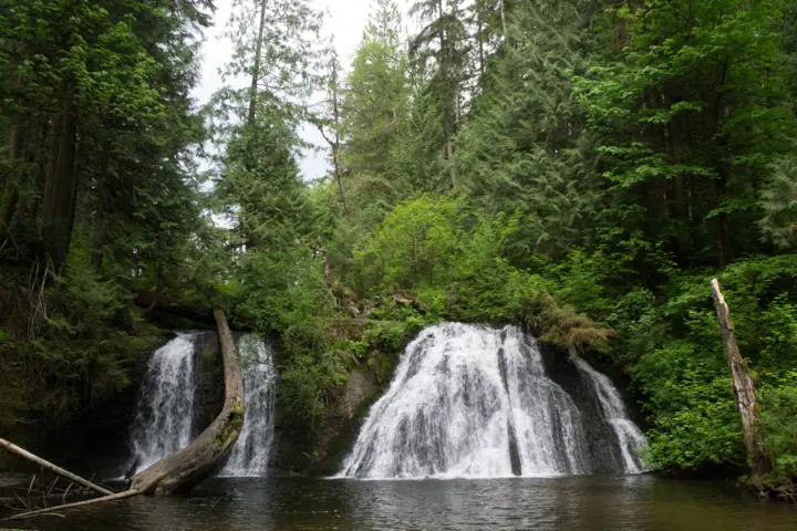
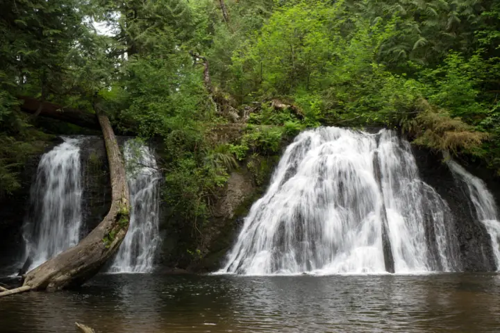
Cherry Creek Falls pours into a pool in the forest north of Duvall, in King County. Washington Trails Association (WTA) lists the hike at 5.0 miles round trip with 450 feet of gain. The Mountaineers lists 5.5 miles and rates it easy. The first half mile crosses private land on a courtesy easement. Parking is on the shoulder of Mountain View Road only, and WTA says dogs must be leashed.
About Cherry Creek Falls
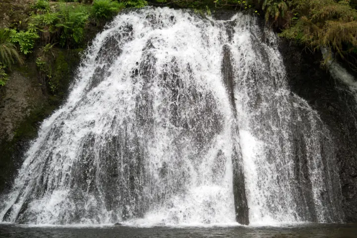
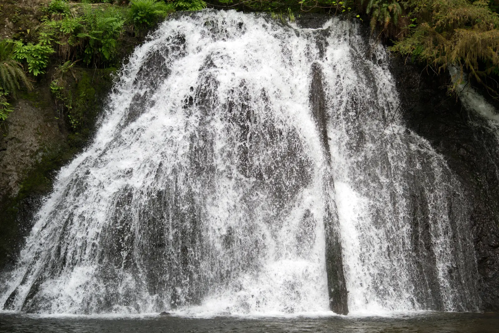
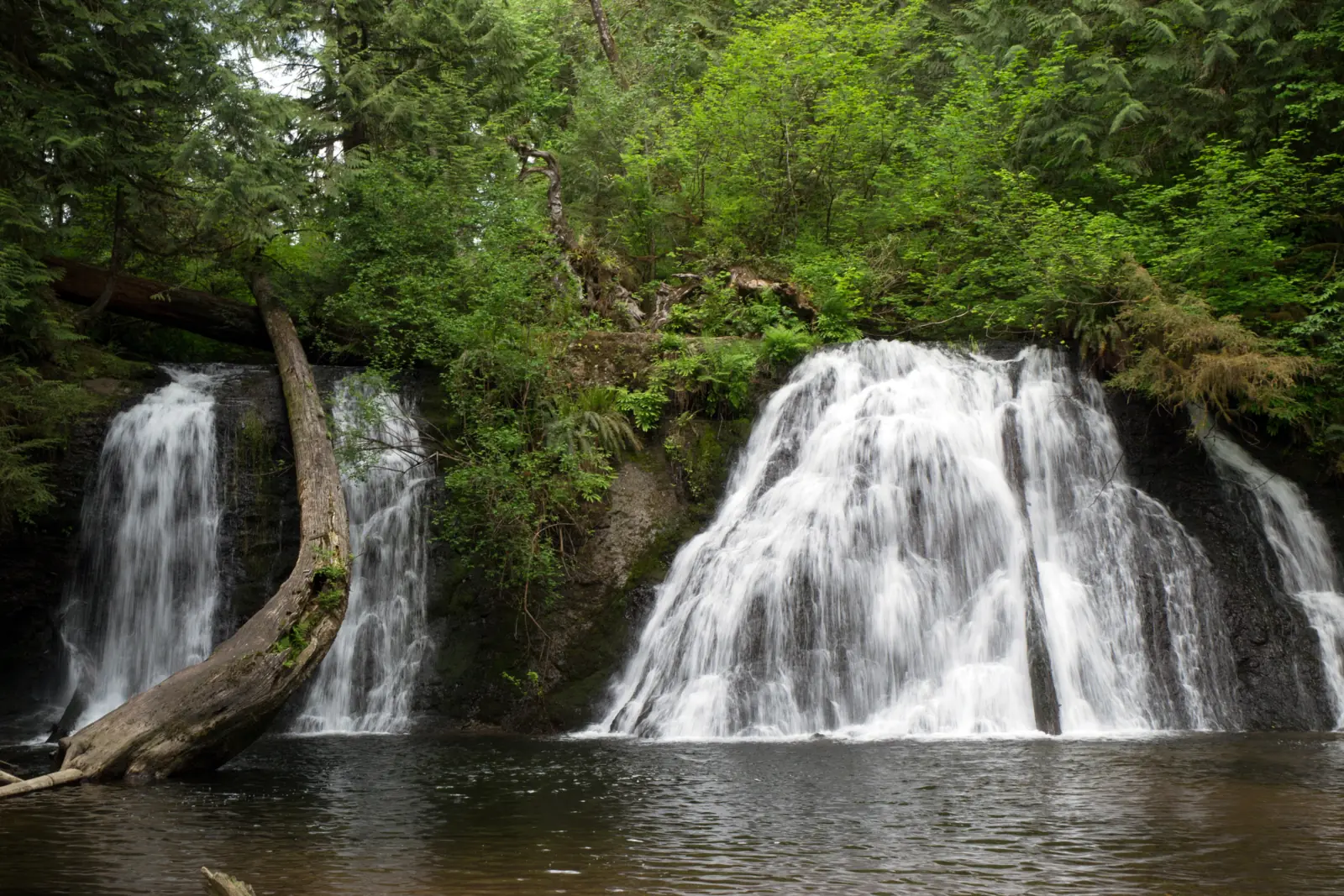
Cherry Creek Falls drops into a pool at the turnaround of a 5 to 5.5 mile round-trip hike near Duvall. The Mountaineers puts the falls at 25 feet; WTA gives no height.
WTA says the land around the falls is managed by the Washington State Department of Natural Resources (DNR). The Mountaineers names the land manager as Marckworth State Forest (WA DNR).
WTA also notes that the forest has no designated trails or trailheads. The Mountaineers says that because this is not a designated trail, "DNR cannot permit activities at this location." We found no DNR page for this hike.
That makes WTA and The Mountaineers the main sources for this page. Treat the rules below as their guidance rather than an official land-manager rule, and check both pages before you go.
The private-land easement
The first half mile of the route crosses private land on a courtesy easement, WTA says. WTA asks you to stay on the main path, keep noise down and pack out all trash.
The creek flows all year, according to WTA. The left side of the falls usually dries up by autumn, so later in the year you may see only one channel.
Getting there and parking
The trailhead is on Mountain View Road, off NE Cherry Valley Road north of Duvall. WTA gives the route: take SR 203 north from Duvall, turn right on NE Cherry Valley Road and drive 4.3 miles.
Then turn left on Mountain View Road. WTA lists the trailhead at 47.7457, -121.9076. The map pin on this page uses those trailhead coordinates, not the falls.
The Mountaineers starts from Main Street in downtown Duvall. Head north and veer right onto NE 165th St/NE Cherry Valley Road. It lists 4.2 miles on that road before the same left turn onto Mountain View Road NE.
Parking on Mountain View Road
Parking is "limited to the shoulder of Mountain View Road only," according to WTA. The Mountaineers says to park right away on the east shoulder. Do not park anywhere signed Private or No Parking.
WTA warns that cars left in signed areas may be ticketed or towed. A May 2025 WTA trip report describes two cars being towed. An April 2026 report mentions weekend crowding, so arrive early or come on a weekday.
Passes
WTA's hike page lists the required pass as "None", and The Mountaineers lists "Parking Permit Required: None". One WTA trip report says a Discover Pass is required in Marckworth State Forest. No land-manager page settles the question, so contact Washington DNR if you want to be sure.
There are no restrooms at the trailhead. WTA says the nearest public restroom is at McCormick Park in Duvall, so stop there on the way.
Other western Washington falls on this site include Snoqualmie Falls, Wallace Falls and Franklin Falls. Our Washington waterfalls guide lists the rest.
Map and nearby falls
Map loads as you scroll. Open in OpenStreetMap
OpenPartly open / seasonalUnconfirmedClosedLarger map
The hike to Cherry Creek Falls
Distance: WTA lists 5.0 miles round trip, with 450 feet of elevation gain and a high point of 705 feet. The Mountaineers lists 5.5 miles with the same gain and high point, and rates the hike easy.
The route: WTA says the hike follows old logging roads at first. Near mile 1.5, the road gives way to a muddy track.
Navigation: The Mountaineers says there are no official maps or trail signs. It warns that it's easy to get lost in the web of roads and side trails, so print directions before you go.
The Mountaineers' route: pass through a blue gate onto a logging road. At one mile, cross Margaret Creek on a bridge, then stay left past a spur road. Keep right at the next two junctions and head downhill.
Where the road makes a sharp hairpin to the right, take a short user trail left through the brush to another logging road. Go straight for about a mile to Hannan Creek. Past the creek, a trail on the right leads to an overlook above the falls, then down to the base.
Creek crossings: there are several, including a ford at Hannan Creek, per WTA. The Mountaineers says trekking poles or waterproof boots are helpful there. Wear shoes you don't mind getting wet, and look at the water before you cross.
Mud on the trail
Mud is the main thing to plan for. A March 2026 WTA trip report notes damage from hikers walking around the muddiest sections. Walk through the mud rather than around it, and wear boots in the wet season.
At the falls: the creek drops into a pool. WTA calls the pool inviting, and in the same breath warns that the rocks around it are slippery.
Keep dogs on a leash for the whole hike, as WTA asks. WTA asks hikers on the easement section to stay on the main path.
When to visit
WTA says Cherry Creek flows year-round, and The Mountaineers lists the hike as year-round. The left side of the falls usually dries up by autumn, so go earlier in the year if you want to see both channels.
Mud is worst in the wet season, per WTA. Expect wet feet at the creek crossings then, and give yourself extra time.
An April 2026 WTA trip report mentions weekend crowding. Shoulder parking is limited, so a weekday visit is easier. We found no official best month for the falls.
| Height | 25 ftNote: 25 ft per The Mountaineers; WTA gives no height |
|---|---|
| Trail | Per WTA: 5.0 mi round trip with 450 ft of gain and a high point of 705 ft. The Mountaineers lists 5.5 mi with the same gain and high point. The route uses old logging roads and then a muddy track with several creek crossings, including a ford at Hannan Creek (WTA). |
| Difficulty | Easy, per The Mountaineers; WTA notes mud and several creek crossings, including a ford at Hannan Creek |
| Entry fee | WTA's hike page lists the required pass as "None", and The Mountaineers lists "Parking Permit Required: None". One WTA trip report says a Discover Pass is required in Marckworth State Forest; no land-manager page settles it. |
| Permit / reservation | No permit or pass listed by WTA or The Mountaineers; one WTA trip report mentions a Discover Pass |
| Parking | Mountain View Road shoulder only |
| Hours / season | No hours listed by WTA or The Mountaineers |
| Dogs | Allowed on a leash (WTA) |
| Swimming | No rule found from WTA, The Mountaineers or Washington DNR. WTA calls the pool inviting and warns that the rocks around it are slippery |
| Wheelchair / stroller | No accessible route described; WTA notes mud, several creek crossings and a ford |
| Restrooms | None at the trailhead; WTA says the nearest public restroom is at McCormick Park in Duvall |
| Best time to visit | No official best month; The Mountaineers lists the hike as year-round. WTA says the left side of the falls usually dries up by autumn and mud is worst in the wet season |
| Crowds | An April 2026 WTA trip report mentions weekend crowding; shoulder parking is limited |
| Managed by | Washington State Department of Natural Resources, Marckworth State Forest (per WTA and The Mountaineers) |
Safety and swimming
The rocks around the pool are slippery, WTA warns. Stay back from wet rock at the edge, and keep a close hand on children.
We found no swimming rule from WTA, The Mountaineers or Washington DNR. Treat the slick rock around the pool as the main hazard if you go near the water.
Check the ford at Hannan Creek before you cross. Turn back if the water looks fast or deep.
The forest has no designated trails, WTA says, and The Mountaineers notes there are no official maps or trail signs. Tell someone your plans before you go. Our waterfall safety guide has more on slick rock near falls.
Conditions change: confirm with WTA and The Mountaineers before you go.
Where to stay near Cherry Creek Falls
Compare hotels, cabins and rentals close to the falls around Duvall.
See places to stay nearbyAffiliate link: we may earn a commission at no cost to you. Partners do not see or change our waterfall facts. Disclosure.
Photos
Cherry Creek Falls FAQ
How long is the hike to Cherry Creek Falls?
5.0 miles round trip with 450 feet of gain, per WTA. The Mountaineers lists 5.5 miles with the same gain and rates it easy. The route follows old logging roads, then a muddy track with several creek crossings, including a ford at Hannan Creek.
Where is the Cherry Creek Falls trailhead?
On Mountain View Road, off NE Cherry Valley Road north of Duvall. From SR 203 in Duvall, WTA says to take NE Cherry Valley Road 4.3 miles, then turn left on Mountain View Road. The Mountaineers gives 4.2 miles from Main Street in Duvall and says to park on the east shoulder.
Do you need a pass to park at Cherry Creek Falls?
WTA's hike page lists no pass, and The Mountaineers lists no parking permit. One WTA trip report says a Discover Pass is required in Marckworth State Forest, and no land-manager page confirms either way. Cars in signed Private or No Parking areas may be ticketed or towed.
Are dogs allowed at Cherry Creek Falls?
Yes, on a leash, according to WTA. The first half mile crosses private land on a courtesy easement, so keep your dog on the main path.
Can you swim at Cherry Creek Falls?
We found no swimming rule from WTA, The Mountaineers or Washington DNR. WTA describes the pool as inviting but warns that the rocks around it are slippery.
How tall is Cherry Creek Falls?
The Mountaineers puts Cherry Creek Falls at 25 feet. WTA gives no height.
Nearby waterfalls
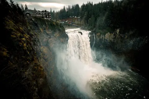 Snoqualmie Falls14 mi straight-line, by our mathOpen268FT
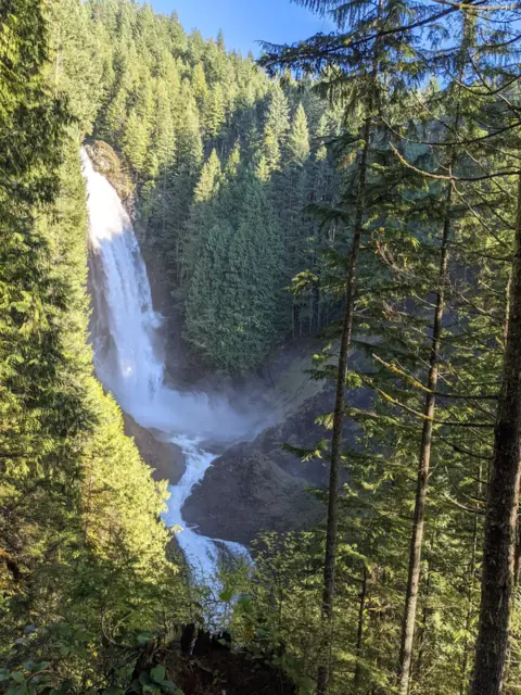 Wallace Falls15 mi straight-line, by our mathOpen265FT
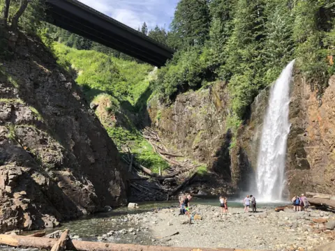 Franklin Falls31 mi straight-line, by our mathOpen135FT
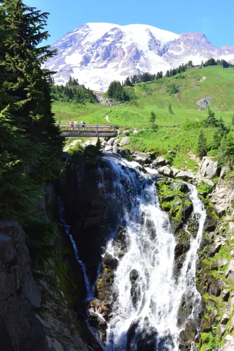 Myrtle Falls66 mi straight-line, by our mathOpen60FT
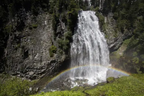 Narada Falls67 mi straight-line, by our mathOpen168FT
City guides: Waterfalls near Seattle, WA
Sources
- Washington Trails Association: Cherry Creek Falls hike and trip reports (read Nov 3, 2026)
- The Mountaineers: Cherry Creek Falls route page (read Nov 7, 2026)
Last verified Nov 7, 2026 by The Waterfall Guide editorial team. Conditions change: confirm with WTA and The Mountaineers before you go. Spotted something out of date? Report a correction.