Right now
Right now as of Nov 13, 2026
- Permit No permit needed. Fee: no fee listed.
Status note (Nov 13, 2026): Open, as far as we can tell (checked Nov 13, 2026). The ODNR preserve page listed no closure. What the status labels mean
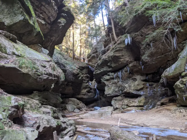
Conkle's Hollow is a state nature preserve in Ohio's Hocking Hills, with falls at the head of a narrow sandstone gorge. The Ohio Department of Natural Resources (ODNR) says its cliffs rise nearly 200 feet. The partly paved Gorge Trail reaches the falls in about a mile round trip, and a 2-mile loop circles the rim. Pets are not permitted. On November 13, 2026, ODNR listed no closure.
About Conkle's Hollow
Conkle's Hollow is a state nature preserve run by ODNR's Division of Natural Areas and Preserves. It is not part of Hocking Hills State Park. The 2024 park map shades it separately as a state nature preserve.
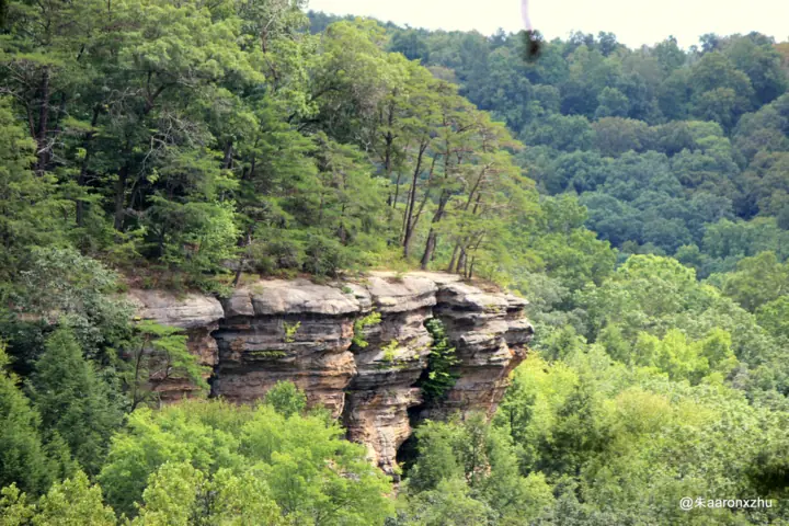
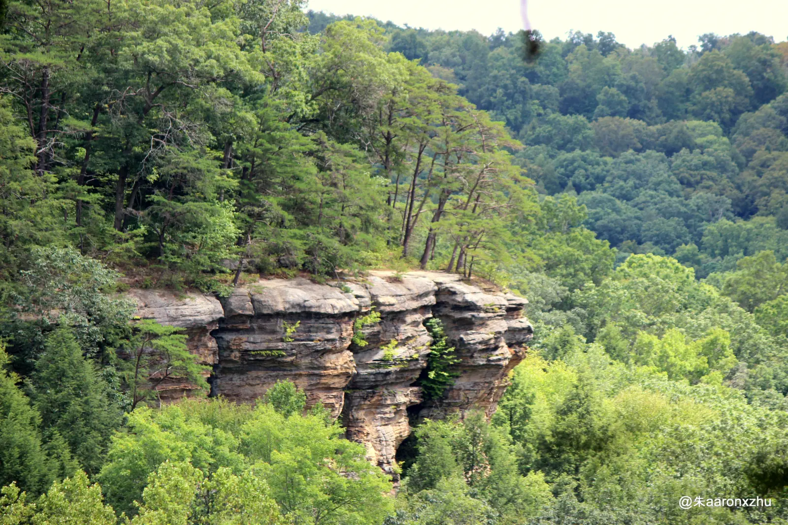
ODNR calls the preserve 'one of the most spectacular features within the Hocking Hills region.' Its sheer cliffs of Black Hand sandstone rise nearly 200 feet above the valley floor, ODNR says.
The gorge is only 100 feet wide in places, according to ODNR. The agency adds that some consider it the deepest gorge in Ohio. ODNR also mentions numerous waterfalls cascading over the sandstone cliffs.
The main falls is at the head of the gorge, where the park map labels a waterfall. ODNR gives no height for it, only the height of the cliffs. We found no measured drop, so we list none.
Geology and history
ODNR explains that an inland ocean covered the area about 350 million years ago. River deltas laid down sands that became Black Hand sandstone, which later uplift and erosion exposed.
The state of Ohio bought Conkles Hollow in 1925, according to ODNR. In 1977 it was dedicated as a state nature preserve. ODNR's Hocking Hills page says Civilian Conservation Corps Company 505, at Camp Hocking near Conkle's Hollow, worked on the hollow.
About our map pin
Our pin uses the northwest point of the federal place-name record for Conkles Hollow (GNIS 1075615). That record is a valley, not a waterfall, and it has two points.
By our reading of the park map, the falls sit at the head of the gorge, near that northwest point. Our directions go to the preserve parking area, using ODNR's own directions point.
Getting there and parking
ODNR gives the preserve address as 24858 Big Pine Road, Rockbridge, OH 43149. The 2024 park map shows the parking area off Big Pine Road.
Fees
ODNR's preserve page lists no fee. Its Nature Preserves guide marks one preserve, Cedar Bog, with a fee, and Conkles Hollow is not marked. We found no permit or ticket listed for the trails.
Hours
ODNR says the preserve is open from 1/2 hour before sunrise to 1/2 hour after sunset. ODNR's Nature Preserves guide says dawn to dusk, so plan to be off the trails by dark.
Contact
ODNR's preserve page lists no phone number. For emergencies, call 911, as ODNR advises. For the latest notices, check the official preserve page before you go.
Nearby falls
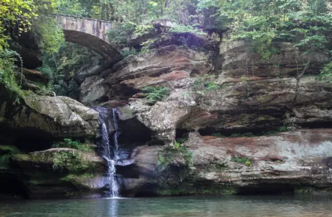
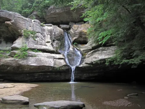
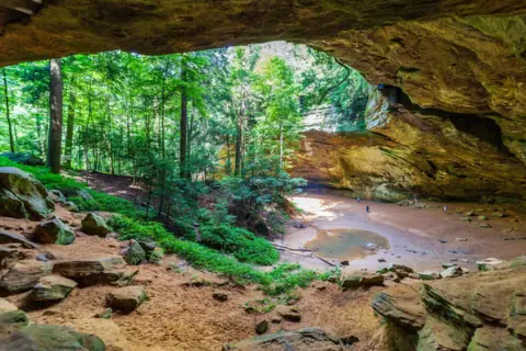
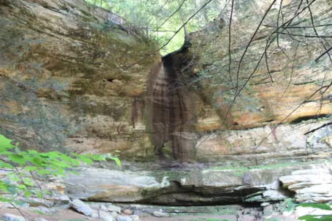
ODNR's Hocking Hills State Park page lists Conkles Hollow as a nearby property. The park has Old Man's Cave, Cedar Falls and Ash Cave. See our Ohio waterfalls guide for all five.
Map and nearby falls
Map loads as you scroll. Open in OpenStreetMap
OpenPartly open / seasonalUnconfirmedClosedLarger map
The hike
ODNR says the preserve has two trails totaling 3 miles. The Gorge Trail goes to the falls, and the Rim Trail loops around the gorge. ODNR's Nature Preserves guide lists 3.5 miles of trail.
Gorge Trail to the falls
ODNR describes the Gorge Trail as partly paved, running through the gorge up to the falls. 'Round trip to and back is about 1 mile,' the preserve page says.
The 2024 park map gives the Gorge Trail as 0.5 mile. By our math, that matches ODNR's 1-mile round trip if you return the same way. The map's inset also labels The Grotto and Slump Rock.
Accessible section
The park map marks the Gorge Trail 'Wheelchair Accessible to End of Sidewalk.' ODNR's Hocking Hills page says one of the two trails is wheelchair accessible. Because the trail is only partly paved, expect unpaved ground beyond the sidewalk.
Rim Trail
ODNR describes the Rim Trail as a 2-mile loop around the gorge, with cliff-top overlooks. The park map gives 1.9 miles, in segments of 0.9 and 1.0 mile.
The map shows one-way arrows and steps on the trails here. Follow the posted direction. ODNR gives no official difficulty rating or walking time for either trail.
Dogs and other rules
Leave pets at home. ODNR says pets are not permitted at Conkles Hollow, and its Hocking Hills page repeats that rule. ODNR's Nature Preserves guide says off-trail use requires a written permit.
When to visit
ODNR publishes no best season for the falls. We found no official flow data, so we cannot say which months run strongest.
Winter
The park map warns visitors to use caution on muddy, wet or icy trails. ODNR's Hocking Hills page says the state park's trails are typically covered in ice in winter and recommends ice cleats.
Events
ODNR lists an 'Explore Your Preserves: Conkles Hollow' event on November 21, 2026. Check the preserve page for details before you go.
Status checks
On November 13, 2026, ODNR's preserve page showed no closure, so we list Conkle's Hollow as open, as far as we can tell. Conditions can change after storms, so check the official page first.
| Trail | Gorge Trail: partly paved, through the gorge to the falls, about 1 mile round trip per ODNR. The 2024 park map gives it as 0.5 mi, by our reading one way. Rim Trail: a 2-mile loop around the gorge per ODNR, 1.9 mi on the map, with steps |
|---|---|
| Difficulty | Our call: easy on the partly paved Gorge Trail, harder on the Rim Trail with its steps and cliff edges. ODNR gives no rating |
| Entry fee | No fee listed: ODNR's preserve page lists no fee, and its Nature Preserves guide does not flag Conkles Hollow with a fee (it flags Cedar Bog). |
| Permit / reservation | No permit or ticket listed for the trails |
| Parking | Lot off Big Pine Rd; no fee listed |
| Hours / season | 1/2 hour before sunrise to 1/2 hour after sunset (ODNR preserve page) |
| Dogs | No. ODNR's preserve page says pets are not permitted. Its Hocking Hills page adds that no pets are permitted in the nature preserve |
| Swimming | No. The park map says 'No swimming or wading in any water.' ODNR says to stay on designated trails at all times |
| Wheelchair / stroller | Partly: the park map marks the Gorge Trail 'Wheelchair Accessible to End of Sidewalk'. ODNR calls the trail only partly paved, so the sidewalk stops short of the falls |
| Restrooms | Yes, per the restroom icon in ODNR's Nature Preserves guide |
| Managed by | Ohio Department of Natural Resources, Division of Natural Areas and Preserves |
Safety and swimming
Stay on designated trails at all times; that is ODNR's rule for the preserve. On the Rim Trail, the cliffs rise nearly 200 feet above the valley floor, per ODNR.
There have been serious accidents here. WOSU reported in May 2022 that a hiker died after falling about 80 feet when he left the rim path.
In a July 1, 2025 report, the Columbus Dispatch said a falling tree killed a hiker on the lower trail. Watch for loose limbs, especially after wind or storms.
Stay out of the water. The park map says 'No swimming or wading in any water.' Keep children close near overlooks.
Expect slick rock, mud and ice in cold or wet weather. Read our waterfall safety guide before you go, and call 911 in an emergency.
Where to stay near Conkle's Hollow
Compare hotels, cabins and rentals close to the falls.
See places to stay nearbyAffiliate link: we may earn a commission at no cost to you. Partners do not see or change our waterfall facts. Disclosure.
Photos
Conkle's Hollow FAQ
How tall is the waterfall at Conkle's Hollow?
ODNR gives no height for the falls. It says the sandstone cliffs rise nearly 200 feet above the valley floor. That figure describes the cliffs, not the water.
How long is the Conkle's Hollow Gorge Trail?
About 1 mile round trip, per ODNR's preserve page. The 2024 park map gives the Gorge Trail as 0.5 mile, which by our reading is one way. The trail is partly paved and ends at the falls.
How long is the Conkle's Hollow Rim Trail?
ODNR calls it a 2-mile loop around the gorge. The 2024 park map gives 1.9 miles, with one-way arrows and steps. Stay on the trail at all times.
Is Conkle's Hollow part of Hocking Hills State Park?
No. It is a state nature preserve run by ODNR's Division of Natural Areas and Preserves. The park map shades it separately, and ODNR lists it as a nearby property.
Can I bring my dog to Conkle's Hollow?
No. ODNR says pets are not permitted at Conkles Hollow State Nature Preserve.
Is Conkle's Hollow wheelchair accessible?
Partly. The park map marks the Gorge Trail as wheelchair accessible to the end of the sidewalk. ODNR calls the trail partly paved, so the sidewalk does not reach the falls.
Is there a fee to visit Conkle's Hollow?
ODNR's preserve page and its Nature Preserves guide list no fee. We found no permit or ticket listed for the trails.
Is Conkle's Hollow dangerous?
The rim has high cliffs, and ODNR requires visitors to stay on designated trails. WOSU reported a fatal fall of about 80 feet off the rim path in May 2022. Stay on the trail and keep children close.
Nearby waterfalls

Sources
- ODNR: Conkles Hollow State Nature Preserve (cliffs, gorge, trails, hours, pets, history, address, events; page undated; read Nov 13, 2026)
- ODNR: Hocking Hills State Park (Conkles Hollow trails and pet rule, CCC history, winter trails; page undated; read Nov 13, 2026)
- ODNR: Hocking Hills park map PDF with Conkles Hollow inset (Rev 08/2024; read Nov 13, 2026)
- ODNR: Ohio Nature Preserves and Natural Areas guide PDF (fees, restrooms, off-trail permit; undated; read Nov 13, 2026)
- WOSU: Man falls to his death at Hocking Hills nature preserve (May 16, 2022; seen as a search result Nov 13, 2026)
- Columbus Dispatch via Yahoo News: hiker killed by falling tree at Conkle's Hollow (Jul 1, 2025; read Nov 13, 2026)
- USGS GNIS: Conkles Hollow, class Valley, ID 1075615 (read Nov 13, 2026)
Last verified Nov 13, 2026 by The Waterfall Guide editorial team. Conditions change: confirm with Ohio Department of Natural Resources, Division of Natural Areas and Preserves before you go. Spotted something out of date? Report a correction.