Right now
Right now as of Oct 28, 2026
- Status The Forest Service lot is seasonal; check the Lake Tahoe Basin Management Unit page for the closing date.
- Permit No permit needed. Entry fee: $5/vehicle.
Status note (Oct 28, 2026): The Forest Service lot is seasonal; check the Lake Tahoe Basin Management Unit page for the closing date. The Forest Service says the trailhead is typically open mid-May through mid-October, depending on weather. There are no restrooms or trash service in winter. Highway 89 at Emerald Bay can close during winter storms, and a proposed fee increase is still pending. What the status labels mean
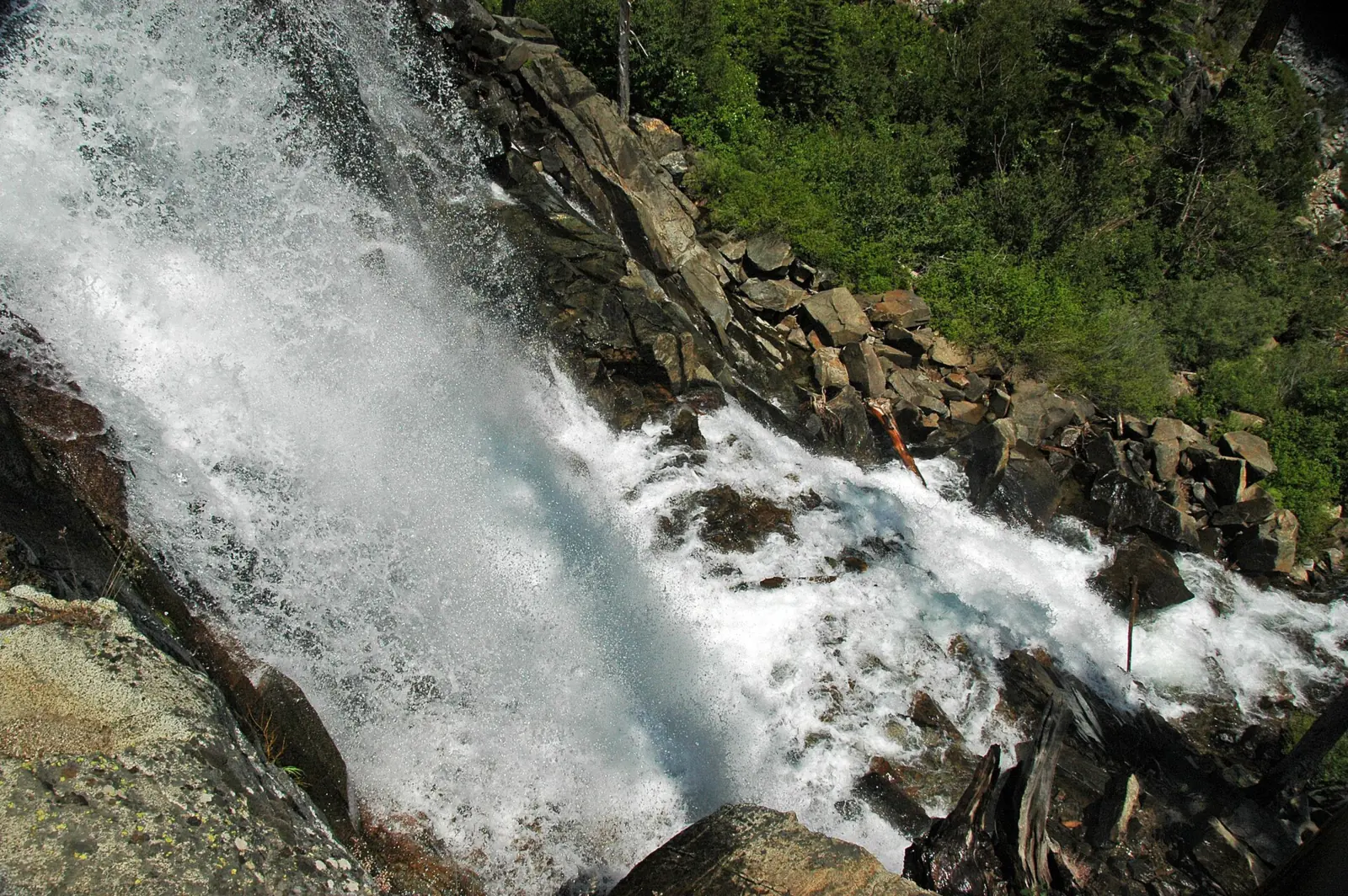
Eagle Falls is a two-part waterfall on Eagle Creek above Emerald Bay at Lake Tahoe. Upper Eagle Falls is about a half-mile round trip from the Highway 89 trailhead, where the Forest Service charges $5 per vehicle per day. The trailhead lot is seasonal, typically open mid-May through mid-October depending on weather. Hiking on to Eagle Lake needs a free, self-issued Desolation Wilderness day permit from Memorial Day weekend through September 30.
About Eagle Falls
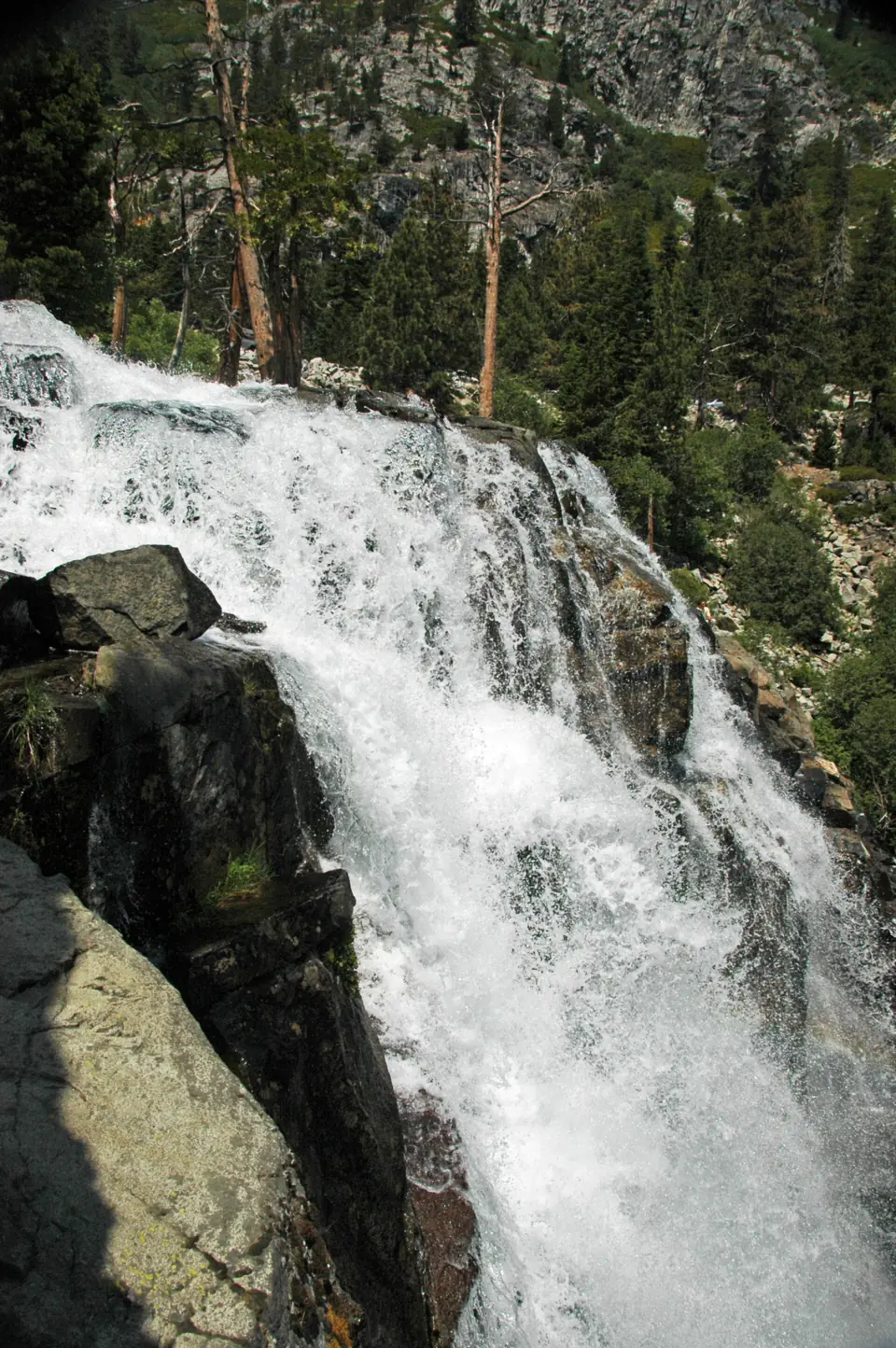
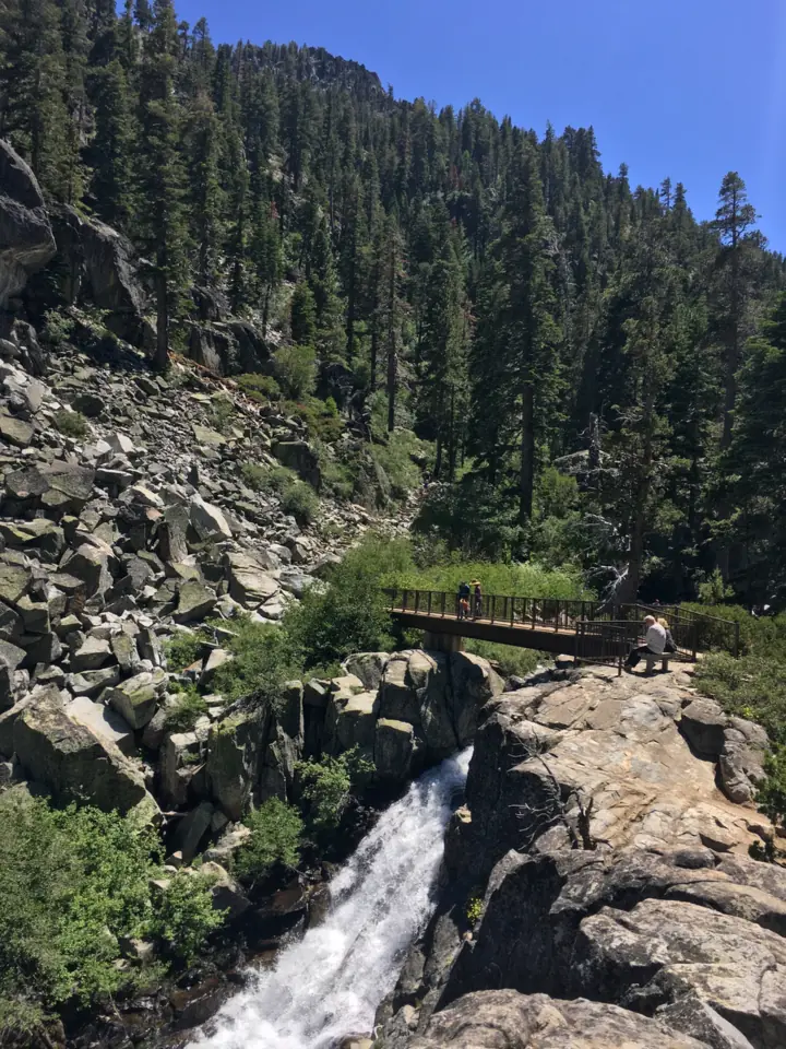
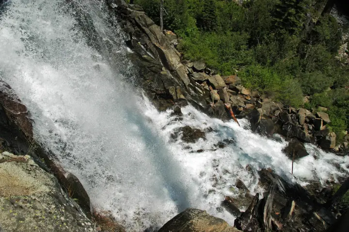
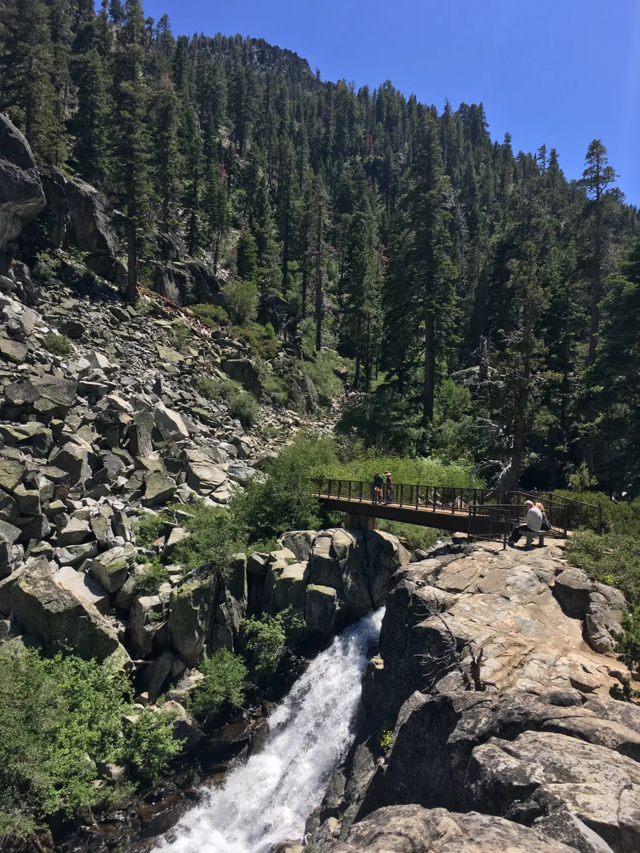
Eagle Falls is really two sets of falls on Eagle Creek. Upper Eagle Falls is a short walk from the Eagle Falls Trailhead on Highway 89, across the highway from Emerald Bay. Lower Eagle Falls is a quarter mile behind the Vikingsholm Visitor Center at Emerald Bay State Park, according to State Parks.
No agency gives an official height. Visit Lake Tahoe says the upper falls are about 25 feet and the lower falls are about 150 feet of cascades. Other guides list different numbers.
Two agencies share the area. The Forest Service's Lake Tahoe Basin Management Unit runs the upper trailhead and picnic area, which it places at about 7,100 feet in elevation. California State Parks manages the lower falls, the Vikingsholm Trail and the Vikingsholm grounds.
Past the upper falls, the trail enters Desolation Wilderness and reaches Eagle Lake about 1 mile from the trailhead, per Forest Service information seen in search results. That's where the permit rules start. It's a bit like the trail at Vernal Fall in Yosemite, which keeps climbing past the fall, except here the extra miles cross a wilderness boundary.
Getting there and parking
Upper falls: take Highway 89 northwest from South Lake Tahoe about 9 miles to the trailhead, the Forest Service says. Park at the Eagle Falls Picnic Area and Trailhead lot, where the Forest Service charges $5 per vehicle per day. America the Beautiful annual, senior and access passes let the holder park there for free.
The Forest Service warns that the area can be extremely crowded on weekends and suggests early morning or late afternoon. There is no camping or overnighting at the trailhead.
Lower falls: use the Vikingsholm lot run by State Parks. It costs $10 a day or $3 an hour and is open sunrise to sunset. State Parks says federal passes are not accepted there. State Parks listed a shuttle running mid-June to September 7, and it has ended for the season.
The Forest Service fee may change. A Forest Service proposal released July 31, 2026 would raise the Eagle Falls fee to $10 in Year 1 and $15 by Year 5. Comments closed September 29, 2026. A citizens' advisory committee then reviews the plan and recommends it to the Regional Forester, who makes the final decision. No decision had been announced as of late October 2026, so the $5 fee still applies.
Map and nearby falls
Map loads as you scroll. Open in OpenStreetMap
OpenPartly open / seasonalUnconfirmedClosedLarger map
The hike
Upper Eagle Falls is the easy one: about a half-mile round trip from the Highway 89 trailhead. Lower Eagle Falls takes the steep Vikingsholm Trail, about 2 miles round trip.
Upper Eagle Falls
About 0.5 mile round trip from the trailhead, according to Visit Lake Tahoe. It's the quickest way to see Eagle Creek drop if you only have a few minutes. The Forest Service says restrooms and some picnic tables are at the trailhead, but there's no potable water.
Eagle Lake
Continue past the falls to Eagle Lake, about 1 mile from the trailhead, per Forest Service information. The lake is in Desolation Wilderness, where the Forest Service requires a free, self-issued day-use permit from Memorial Day weekend through September 30.
Lower Eagle Falls via the Vikingsholm Trail
From the Vikingsholm lot, the steep Vikingsholm Trail drops toward Emerald Bay. State Parks gives about 2 miles round trip with about 400 feet of gain, though another line on the same page says the trail drops 500 feet. The falls are a quarter mile behind the visitor center.
The Vikingsholm visitor center and tours ran through September 30, 2026. State Parks says there are no rides back up, so save energy for the climb. State Parks warns people with mobility issues not to attempt the Vikingsholm hike. We found no accessibility information for the upper Eagle Falls trail.
When to visit
The Forest Service says the trailhead is typically open from mid-May through mid-October, and that opening and closing dates depend on weather. Check the Lake Tahoe Basin Management Unit page for this year's closing date.
The Forest Service calls the area extremely crowded on weekends. A weekday, early-morning or late-afternoon visit gives you a better shot at a parking space.
Visiting in winter
The Forest Service lot is seasonal, with no restrooms or trash service in winter. We found no official guidance on where to park when it's closed. Don't park where signs prohibit it.
On the State Parks side, the Vikingsholm lot stays open sunrise to sunset, and restrooms at the bottom are open year-round. State Parks says there are no services or drinking water from October to May. Chains or four-wheel drive are frequently required in winter.
Caltrans closed Highway 89 around Emerald Bay in both directions in February 2026 because of unstable snow, and the road can close again during winter storms. Check Caltrans QuickMap or call 1-800-427-ROAD before you drive.
Eagle Point Campground at Emerald Bay is closed for the 2026 season, according to State Parks.
| Trail | About 0.5 mi round trip to Upper Eagle Falls (Visit Lake Tahoe). About 1 mi each way to Eagle Lake (Forest Service information). About 2 mi round trip to Lower Eagle Falls on the Vikingsholm Trail (State Parks) |
|---|---|
| Difficulty | Easy (Upper Eagle Falls) / Steep (Vikingsholm Trail to Lower Eagle Falls, per State Parks) |
| Entry fee | $5 per vehicle per day at the Forest Service Eagle Falls lot; America the Beautiful annual, senior and access passes park free there (Forest Service). Vikingsholm state park lot $10/day or $3/hour, and federal passes are not accepted there (State Parks) |
| Permit / reservation | Not for the falls; a free self-issued Desolation Wilderness day permit is needed for Eagle Lake from Memorial Day weekend through September 30 |
| Parking | Eagle Falls trailhead lot on Hwy 89 ($5, seasonal); arrive early on weekends |
| Hours / season | Forest Service trailhead typically open mid-May through mid-October, with dates that depend on weather (Forest Service); Vikingsholm lot sunrise to sunset (State Parks) |
| Dogs | Allowed on the Forest Service Eagle Falls Trail. On state park land, dogs are allowed only at the vista overlook by the Vikingsholm lot and on boats (State Parks). |
| Wheelchair / stroller | Not on the Vikingsholm Trail: State Parks warns people with mobility issues not to attempt it. We found no accessibility information for the upper trail. |
| Walk behind the falls | No |
| Restrooms | At the Forest Service trailhead when the parking area is open; no restrooms or trash service in winter (Forest Service). On the Vikingsholm side, restrooms at the bottom are open year-round (State Parks). |
| Crowds | Very popular; the Forest Service says it can be extremely crowded on weekends |
| Managed by | USDA Forest Service, Lake Tahoe Basin Management Unit (upper falls and trailhead); California State Parks, Emerald Bay State Park (lower falls) |
Safety and swimming
We found no swimming rule from the Forest Service or State Parks for Eagle Creek. Stay out of the creek near the upper falls, where moving water flows toward a drop.
Stay on the trail and don't climb on the ledges next to the water. Never go past barriers or signs for a closer photo.
State Parks describes the Vikingsholm Trail as steep, and the walk back to the lot is all uphill. Carry water and pace yourself. State Parks also warns that black bears are very active in Emerald Bay, so never leave food unattended.
For general tips, see our waterfall safety page.
Where to stay near Eagle Falls
Compare hotels, cabins and rentals close to the falls around South Lake Tahoe.
See places to stay nearbyAffiliate link: we may earn a commission at no cost to you. Partners do not see or change our waterfall facts. Disclosure.
Photos
Eagle Falls FAQ
How much is parking at Eagle Falls?
The Forest Service charges $5 per vehicle per day at the Eagle Falls lot, and America the Beautiful annual, senior and access passes park free. A 2026 proposal would raise the fee to $10, but it isn't final. The Vikingsholm state park lot is $10 a day or $3 an hour, and federal passes aren't accepted there.
Do I need a permit to hike to Eagle Falls?
Not for the falls themselves. If you continue to Eagle Lake, you need a free, self-issued Desolation Wilderness day-use permit from the trailhead box. The Forest Service requires it Memorial Day weekend through September 30. Overnight trips need a paid overnight permit.
How long is the hike to Eagle Falls?
Upper Eagle Falls is about a half-mile round trip from the trailhead, per Visit Lake Tahoe. Eagle Lake is about 1 mile from the trailhead, per Forest Service information. Lower Eagle Falls is about 2 miles round trip on the Vikingsholm Trail.
Is Eagle Falls a hard hike?
The walk to the upper falls is short and easy. Eagle Lake is about 1 mile from the trailhead. The Vikingsholm Trail to the lower falls is steep, with about 400 feet to regain, and the trailhead sits at about 7,100 feet.
Can you drive to Eagle Falls?
You can drive to the trailhead, about 9 miles northwest of South Lake Tahoe on Highway 89, per the Forest Service. From there, the upper falls are a short walk. The lower falls need the Vikingsholm Trail hike from the state park lot.
How do I see Lower Eagle Falls?
Park at the Vikingsholm lot on Highway 89 and hike the steep Vikingsholm Trail toward Emerald Bay. State Parks gives about 2 miles round trip with about 400 feet of gain. The lower falls are a quarter mile behind the visitor center.
Can you visit Eagle Falls in winter?
Sometimes. The Forest Service lot is seasonal, typically open mid-May through mid-October, with no restrooms in winter. Day-use wilderness permits aren't required in winter, roughly October to March. Highway 89 at Emerald Bay can close in storms, and State Parks says chains or four-wheel drive are frequently required.
Are dogs allowed at Eagle Falls?
Yes on the Forest Service Eagle Falls Trail. On state park land, State Parks allows dogs only at the vista overlook by the Vikingsholm lot and on boats, so they can't go down the Vikingsholm Trail.
Nearby waterfalls
More waterfalls to explore


Sources
- USFS Lake Tahoe Basin: Eagle Falls Picnic Area and Trailhead (updated Jun 1, 2026; read Oct 28, 2026)
- USFS Eldorado NF: Desolation day use permits and parking (updated Sep 28, 2026)
- USFS Lake Tahoe Basin: Proposed changes to recreation fees (Jul 31, 2026; updated Oct 5, 2026)
- California State Parks: Emerald Bay SP (parking, passes, dogs, winter access; read Oct 27, 2026)
- Visit Lake Tahoe: Waterfall guide
- Caltrans District 3 on X: Hwy 89 Emerald Bay closed (Feb 2026)
Last verified Oct 28, 2026 by The Waterfall Guide editorial team. Conditions change: confirm with USDA Forest Service, Lake Tahoe Basin Management Unit (upper falls and trailhead); California State Parks, Emerald Bay State Park (lower falls) before you go. Spotted something out of date? Report a correction.