Right now
Status note (Nov 7, 2026): Open, as far as we can tell: on Nov 7 the Plumas National Forest alerts list named no closure for Feather Falls, its trail or the scenic area. The trailhead campground is "Site Closed Indefinitely," per the Forest Service page updated Nov 4, 2026. What the status labels mean
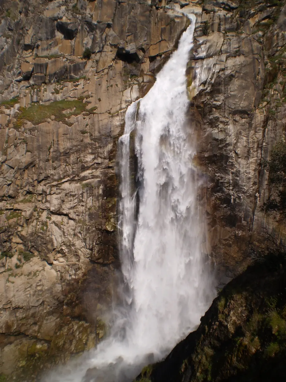
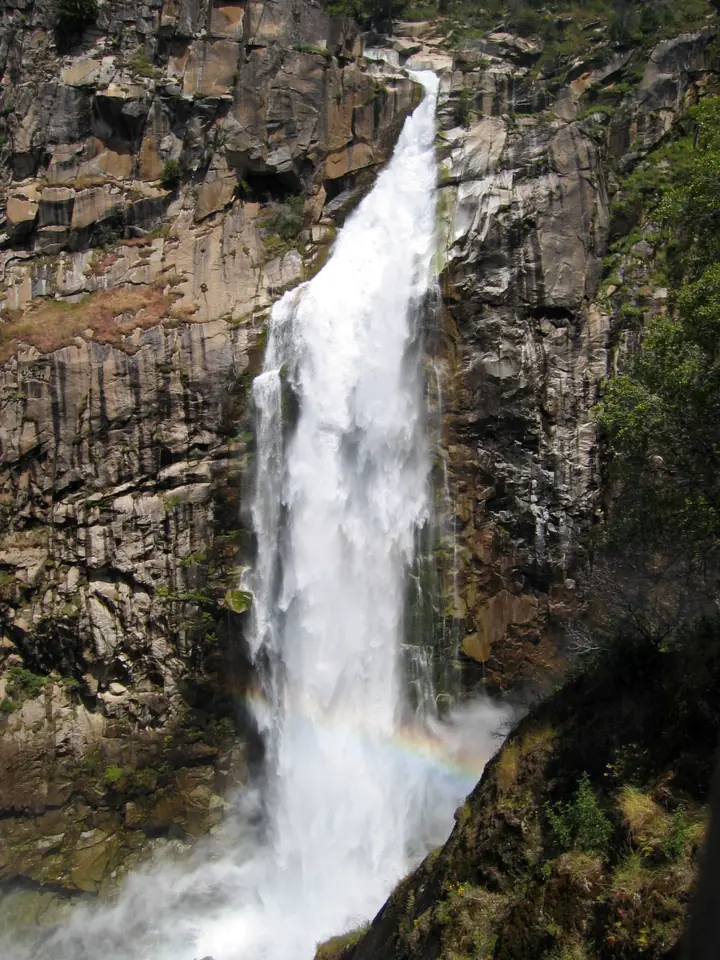
Feather Falls is a waterfall on the Fall River in the Feather Falls Scenic Area of Plumas National Forest, northeast of Oroville. Wikipedia gives a measured height of 410 feet. Two Forest Service trails lead to the overlook: an upper trail of 4.5 miles and a lower trail of 3.5 miles. The trailhead campground is closed indefinitely because of damage from the 2020 North Complex Fire.
About Feather Falls
Feather Falls is on the Fall River in Butte County, inside the Feather Falls Scenic Area of Plumas National Forest. The Forest Service's Feather River Ranger District manages the area.
"Before its confluence with the Middle Fork of the Feather River, just downstream from Feather Falls, the Fall River descends from the northern Sierra," the Forest Service says. The Middle Fork has been a Wild and Scenic River since 1968.
How tall is Feather Falls?
Wikipedia says the falls were "measured to be 410 feet," which it says concurs with the USGS Brush Creek quadrangle. It adds that the falls have been "incorrectly claimed to stand 640 feet tall."
The San Francisco Chronicle reported in 2020 that the old Forest Service trailhead sign gave 640 feet. It called that "an old estimate that proved incorrect when fact-finders hit the trail with a laser rangefinder."
The Forest Service scenic area page gives no height, so we use the measured 410 feet.
History of the scenic area
Parts of this area were once inhabited by Maidu people and later by homesteaders, per the Forest Service. Bob Cermack, a district ranger in the 1960s, identified it as an area to keep in its natural state.
The map pin and the Directions buttons point to the falls, using the coordinates Wikipedia lists. They do not lead to the trailhead. Call 530-283-2050 for the route before you drive.
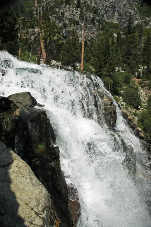
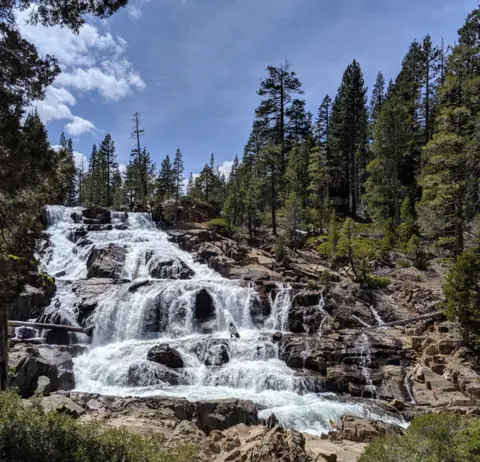
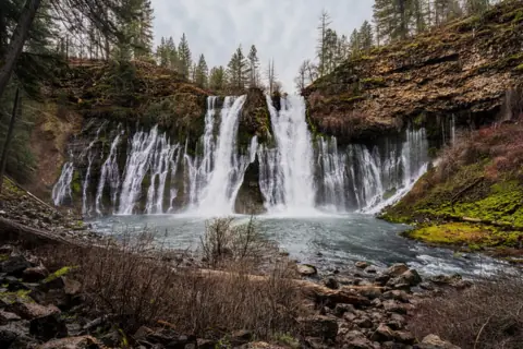
For more Northern California falls, see Burney Falls and Glen Alpine Falls near Lake Tahoe.
Getting there and parking
Feather Falls is in Butte County, California, northeast of Oroville. The Forest Service names Oroville as the closest town with services.
Directions to the trailhead
The Forest Service pages we read give no directions to the Feather Falls Trailhead that we could use. The trailhead campground page's directions describe a route toward La Porte and Wyandotte Campground, a different site.
Call the Plumas National Forest Supervisor's Office in Quincy at 530-283-2050 for the route. We found no official distance or drive time from Oroville, so we don't give one.
The trailhead sits at 2,500 feet, per the Forest Service campground page.
Parking, water and restrooms
We found no official parking details for the trailhead. The campground page says "Potable water is not available at this site" and gives no restroom information, so bring what you need.
Fees and passes
No fee is listed in the Forest Service text we read. The campground page has pass and fee sections that were not shown in the text we read, so call 530-283-2050 to confirm.
The trailhead campground is closed
The Feather Falls Trailhead Campground is closed. The Forest Service banner reads "Site Closed Indefinitely Due to Fire Damage From 2020 North Complex Fire."
The page, updated November 4, 2026, says the "Forest has tentative plans to rebuild the campground at a future date." It gives no reopening date.
The Forest Service scenic area page still mentions an established campground with five developed campsites at the trailhead. That line is out of date.
Elsewhere on the Plumas, a standing order caps a stay at 14 days in a developed campground. It also allows 14 days of dispersed camping per ranger district per year, and no more than 30 days per year forest-wide.
Map and nearby falls
Map loads as you scroll. Open in OpenStreetMap
OpenPartly open / seasonalUnconfirmedClosedLarger map
Feather Falls Trail: upper and lower routes to the overlook
Two Forest Service trails, an upper and a lower section, both lead to the falls overlook. "The upper trail is 4.5 miles, and can form a loop with the lower trail (3.5 miles)," the Forest Service says.
The page continues: "From their junction, the hike to the overlook is 0.5 miles. Allow 4 to 6 hours of hiking time to complete the loop."
Lower trail
The lower trail is the shorter of the two, at 3.5 miles. The Forest Service page does not say whether that figure includes the 0.5 miles from the junction to the overlook.
The San Francisco Chronicle in 2020 described the lower route as 3.5 miles to the falls, "mostly downhill," and about 1.5 hours one way. Expect the climb on the way back.
Upper trail and the loop
The upper trail is 4.5 miles, and it joins the lower trail to form a loop. The Chronicle put the full loop at 9 miles and about 4 hours. The Forest Service allows 4 to 6 hours.
Near the overlook
About ¼ mile before the overlook, the trail passes through an area of exposed granite, per the Forest Service. Wikipedia says the falls are "usually viewed from a platform reached by either of two trails maintained by the U.S. Forest Service."
Difficulty
The Forest Service pages we read give no difficulty rating. Plan for a long day: the agency's 4 to 6 hour estimate for the loop is the best guide we found.
Dogs
The Chronicle reported in 2020 that the posted trail rules read "Hikers, dogs permitted. No OHVs." That report came before the 2020 fire.
The Forest Service pages we read state no pet or leash rule. Call 530-283-2050 before you bring a dog.
Rare plants
The Forest Service names two rare plants in the area: Mosquin's clarkia and the Butte County fritillary. Staying on the trail protects them and keeps you clear of poison oak.
Accessibility
We found no accessibility information for the trail or the overlook. The Forest Service lists both trails at 3.5 miles or more.
When to visit
No Forest Service page we read names a best season for the falls' flow. The San Francisco Chronicle (2020) described late winter as a good time to go.
The same article reported migratory ladybugs near the Frey Creek bridge in March and April.
Fire restrictions in fall 2026
The Plumas alerts list still showed fire restrictions Order 05-11-26-04 on November 7, 2026. That alert says the forest was "lowered to Stage I Fire Restrictions at 2 p.m. on Friday, September 4." The alert text we read gave no end date, so check current restrictions.
Check the current fire restrictions before you use a stove or build any fire. Call 530-283-2050 if the alerts page is unclear.
November and winter
We found no official statement on winter access to the trailhead. On November 7, 2026, no Plumas alert named Feather Falls, its trail or the scenic area.
After the 2020 fire
The 2020 North Complex Fire damaged the trailhead campground, which remains closed, per the Forest Service. Explore Butte County, the county's tourism site, says the Forest Service finished trail restoration in 2025.
That page says the work included "rebuilding bridges and observation platforms to safely reopen the area to visitors." We could not confirm those details on a Forest Service page.
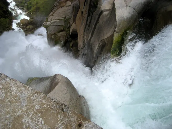
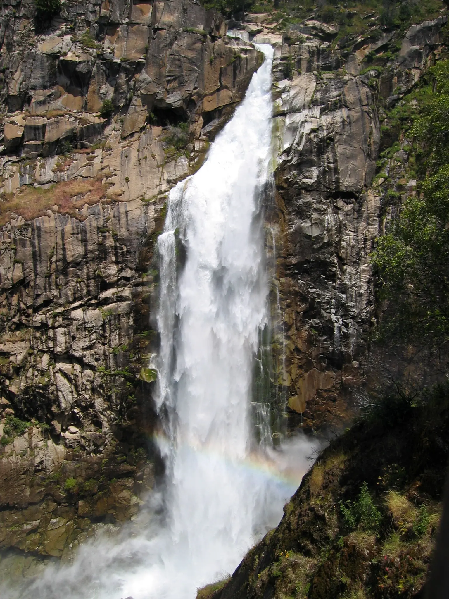
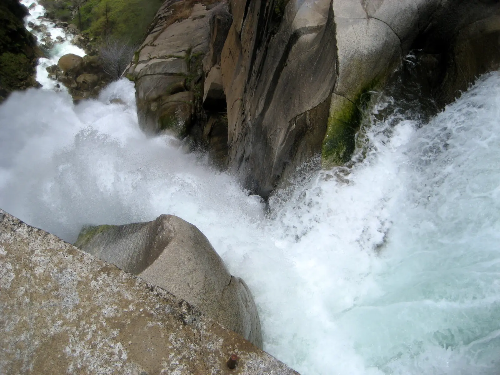
The photos on this page date from 2010, before the fire, so the slopes along the trail may look different now. For other falls in the state, see our California waterfalls list.
| Height | 410 ftNote: 410 ft as measured, per Wikipedia, which says this matches the USGS Brush Creek quadrangle. An old Forest Service trailhead sign said 640 ft, a figure the San Francisco Chronicle (2020) called incorrect |
|---|---|
| Trail | Two Forest Service trails lead to the falls overlook: "The upper trail is 4.5 miles, and can form a loop with the lower trail (3.5 miles)." From their junction, the overlook is 0.5 miles. Allow 4 to 6 hours for the loop |
| Difficulty | Not rated on the Forest Service pages we read. The agency allows 4 to 6 hours for the loop |
| Entry fee | No fee is listed in the Forest Service text we read. The campground page has pass and fee sections that were not shown in the text we read, so call the Supervisor's Office at 530-283-2050 to confirm |
| Parking | No official parking details |
| Dogs | The San Francisco Chronicle reported in 2020 that posted trail rules read "Hikers, dogs permitted." The Forest Service pages we read state no pet or leash rule. Call 530-283-2050 before you bring a dog |
| Swimming | We found no official swimming rule. The Forest Service warns of swift water whose current "may be stronger than it appears" |
| Wheelchair / stroller | We found no accessibility information for the trail or the overlook |
| Restrooms | The Forest Service campground page says "Potable water is not available at this site" and gives no restroom information |
| Best time to visit | No official best season; the San Francisco Chronicle (2020) named late winter as a good time |
| Crowds | We found no crowd figure |
| Managed by | USDA Forest Service, Plumas National Forest, Feather River Ranger District |
Safety and swimming
"This is a remote area," the Forest Service says. It asks visitors to "carry plenty of water, sunscreen, and a first aid kit."
Swift water above the falls
"Be aware of swift water, as the current may be stronger than it appears," the Forest Service warns. We found no official swimming rule, so stay out of the river near the falls.
In April 2012, a 28-year-old man from Chico was presumed dead after being swept over the falls, CBS13 Sacramento reported. He had been standing by the water above the falls.
Snakes, poison oak and bears
"Please stay on the trail; rattlesnakes and poison oak are common in the area," the Forest Service says. Watch where you step and where you put your hands.
The campground page adds: "The Feather Falls area is bear habitat, and bears are attracted to trash and food." Pack out all trash and food scraps.
Sun and the climb out
Explore Butte County describes the trail as "now fully exposed to the elements" after the fire. Carry extra water, and save energy for the climb back to the trailhead.
Stay back from the edges near the overlook and the brink. In an emergency, call 911. Our waterfall safety guide has more on river and cliff hazards.
Conditions change: confirm with the official source before you go.
Where to stay near Feather Falls
Compare hotels, cabins and rentals close to the falls around Oroville.
See places to stay nearbyAffiliate link: we may earn a commission at no cost to you. Partners do not see or change our waterfall facts. Disclosure.
Photos
Feather Falls FAQ
Where is Feather Falls?
On the Fall River in the Feather Falls Scenic Area of Plumas National Forest, in Butte County northeast of Oroville. The Forest Service names Oroville as the closest town with services.
How long is the Feather Falls hike?
The Forest Service lists the upper trail at 4.5 miles and the lower trail at 3.5 miles; both lead to the overlook. From their junction, the overlook is 0.5 miles. Allow 4 to 6 hours for the loop. The San Francisco Chronicle (2020) put the lower trail at about 1.5 hours one way.
How tall is Feather Falls?
Wikipedia gives 410 feet, as measured, and says this matches the USGS Brush Creek quadrangle. An old Forest Service trailhead sign said 640 feet, a figure the San Francisco Chronicle called incorrect in 2020.
Is the Feather Falls Trail open?
As far as we can tell, yes. On November 7, 2026, the Plumas National Forest alerts list named no closure for Feather Falls, its trail or the scenic area. The trailhead campground remains closed.
Can you camp at the Feather Falls trailhead?
Not now. The Forest Service lists the campground as "Site Closed Indefinitely Due to Fire Damage From 2020 North Complex Fire." It has tentative plans to rebuild at a future date.
Is there a fee for Feather Falls?
No fee is listed in the Forest Service text we read. We could not see the campground page's pass and fee sections, so call the Supervisor's Office at 530-283-2050 to confirm.
Are dogs allowed on the Feather Falls Trail?
The San Francisco Chronicle reported in 2020 that posted rules read "Hikers, dogs permitted." The Forest Service pages we read state no leash rule. Call 530-283-2050 before you bring a dog.
Can you swim at Feather Falls?
We found no official swimming rule. The Forest Service warns that the current "may be stronger than it appears." In 2012, CBS13 reported a man presumed dead after being swept over the falls.
Nearby waterfalls
No other waterfalls within 75 miles are on the site yet.
More waterfalls to explore
Sources
The 2025 trail restoration and "fully exposed" lines come from an Explore Butte County summary seen on Nov 4, 2026. Status, trail lengths, safety and campground details come from Forest Service pages read on Nov 7, 2026.
- USFS Plumas National Forest: Alerts list (Stage I fire restrictions Order 05-11-26-04, camping stay limits Order 05-11-25-01, Supervisor's Office; read Nov 7, 2026)
- USFS Wildflowers: Feather Falls Scenic Area and Recreation Trail (trail lengths, safety, history, rare plants; read Nov 7, 2026)
- USFS Plumas National Forest: Feather Falls Trailhead Campground (closure, elevation, bear habitat, water; updated Nov 4, 2026; read Nov 7, 2026)
- Wikipedia: Feather Falls (measured height, coordinates, viewing platform; read Nov 4, 2026)
- San Francisco Chronicle: Tom Stienstra on the Feather Falls Trail, Feb 2020 (old sign height, lower trail time, loop distance, posted dog rule, ladybugs; read Nov 7, 2026)
- CBS13 Sacramento: Man swept over Feather Falls in Butte County, Apr 24, 2012 (read Nov 4, 2026)
- Explore Butte County: Explore Feather Falls (2025 trail restoration, exposure after the fire; summary seen Nov 4, 2026)
Last verified Nov 7, 2026 by The Waterfall Guide editorial team. Conditions change: confirm with USDA Forest Service, Plumas National Forest, Feather River Ranger District before you go. Spotted something out of date? Report a correction.