Right now
Right now as of Oct 28, 2026
- Permit No permit needed. Entry fee: $10/vehicle.
Status note (Oct 28, 2026): Open. The State Parks page, last checked October 28, 2026, lists the January 1, 2026 trail closure notice. It closes the Burney Creek Trail and PSEA Trail north of Rainbow Bridge for storm erosion, with no end date, and does not name the Falls Loop Trail. The summer 2026 reservation pilot ended September 27. What the status labels mean
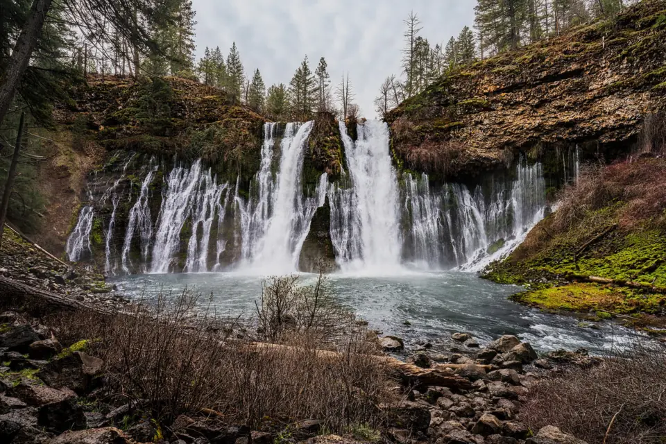
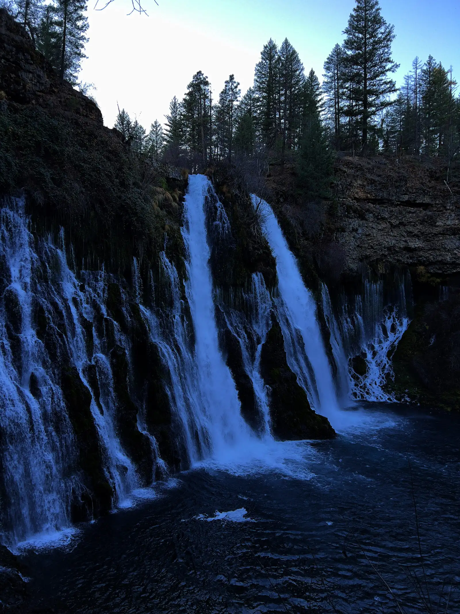
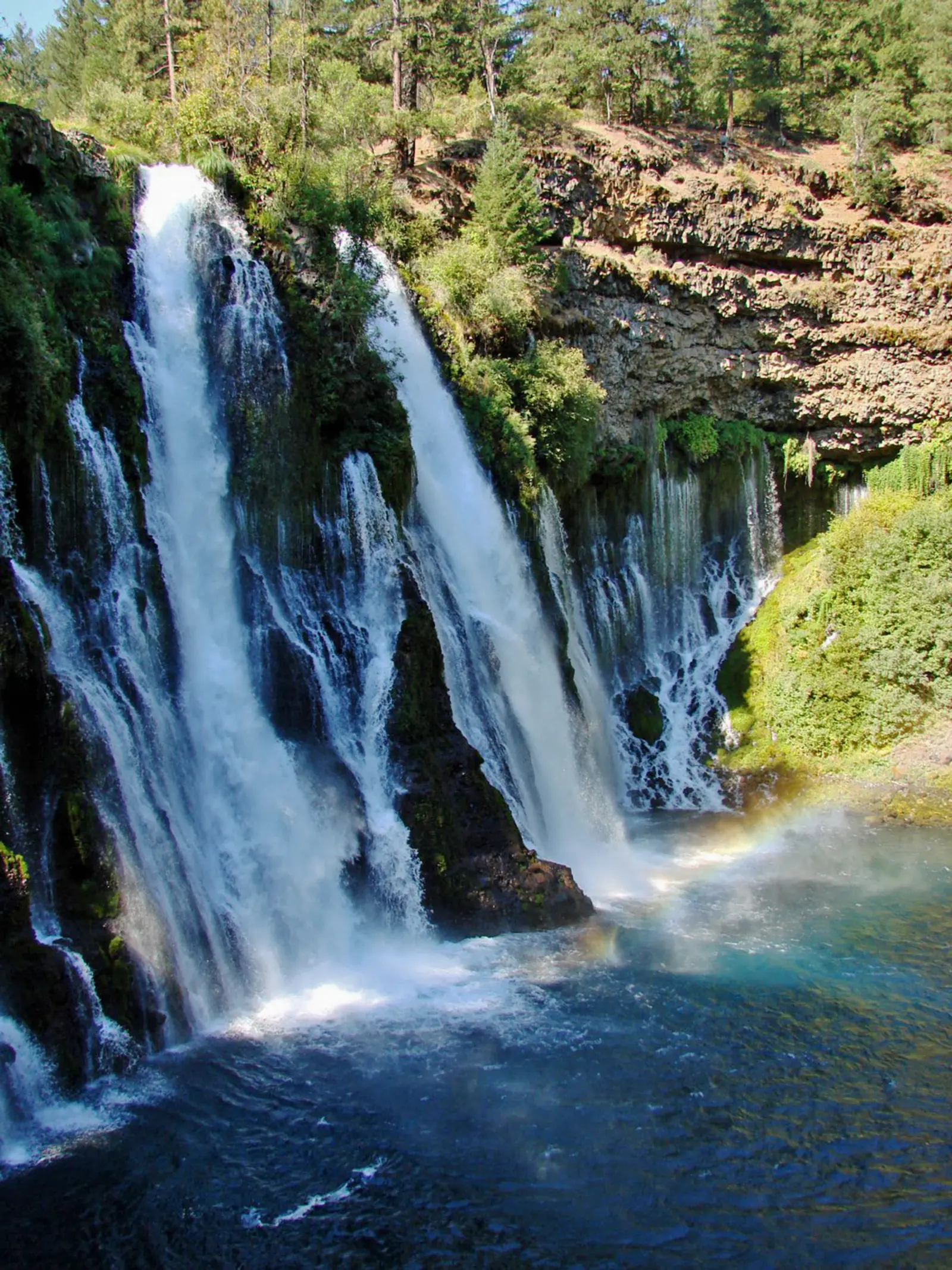
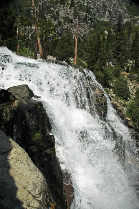
Burney Falls is a 129-foot spring-fed waterfall in McArthur-Burney Falls Memorial State Park, according to California State Parks. Day use costs $10 per vehicle, and the summer 2026 reservation pilot ended on September 27. Campsites in the Rim and Pioneer loops cost $35 a night. The Falls Loop Trail to the pool below the falls is open; the 2026 closure notice names only the Burney Creek and PSEA trails north of Rainbow Bridge.
About Burney Falls
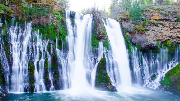
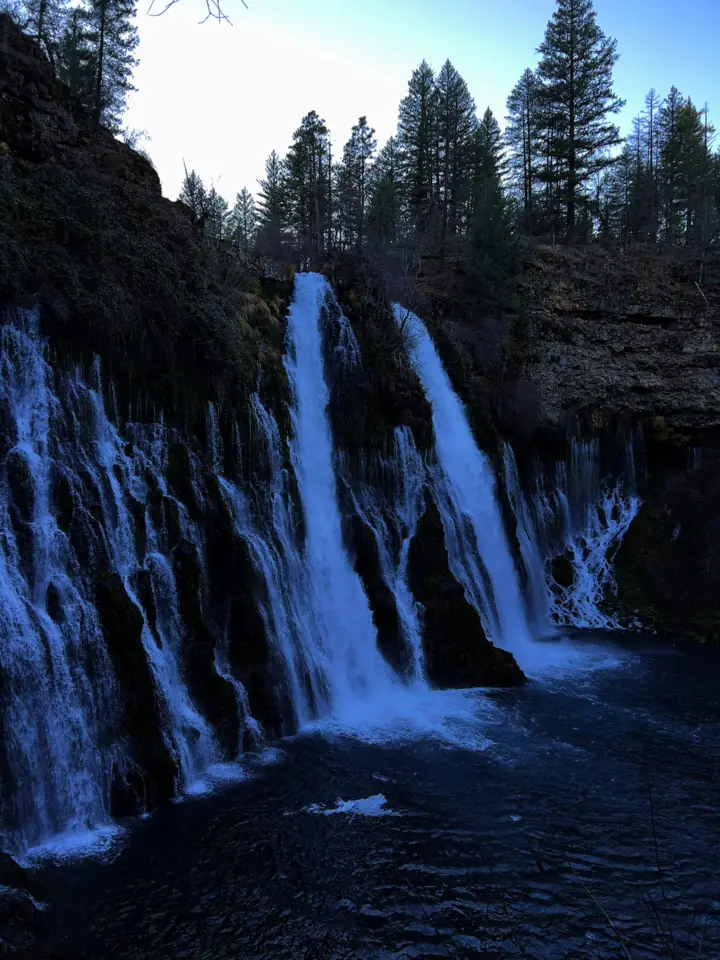
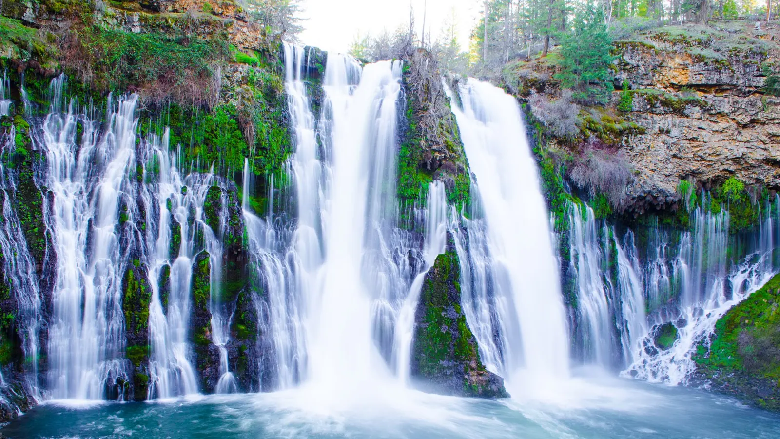
California State Parks lists Burney Falls at 129 feet. Springs in the park produce about 100 million gallons of water a day, so the falls run all year.
Not all of the water comes over the top. The park brochure says it emerges from springs in the cliff face about one-third of the way down. The springs emerge where 200,000-year-old Rocky Ledge basalt meets older volcanic rock about 2.5 million years old.
According to the park brochure, President Theodore Roosevelt pronounced the falls one of the wonders of the world on a visit. Frank and Scott McArthur later bought 160 acres around the falls to protect them from PG&E damming.
The McArthurs deeded the land to the state in 1920, and it became a state park in 1926. Sources differ on the height: Wikipedia's infobox lists 114 feet, citing the World Waterfall Database, while its article text uses 129 feet.
Getting there and parking
Burney Falls is in McArthur-Burney Falls Memorial State Park on Highway 89 near Burney; you drive in and pay $10 per vehicle at the entrance.
Directions and address
State Parks places the park six miles north of Highway 299 on Highway 89, near the town of Burney. Its handout gives the address as 24898 Highway 89, Burney, CA 96013, and the phone as 530-335-2777.
Highway 299 connects the area to Redding and I-5. The park's camp map marks I-5 as 55 miles away. We found no official drive times from Redding, Sacramento or Reno.
Fees, day passes and reservations
Day use costs $10 per vehicle, and State Parks says special rates may apply on peak days, holidays and weekends. Day-use hours are 8am to sunset. The visitor center is open Wednesday to Sunday, 10am to 4pm.
In summer 2026, State Parks tested required day-use reservations on Fridays to Sundays and holidays, from May 15 to September 27. That pilot has ended, so you can drive in and pay at the entrance.
Parking
State Parks says the lots are often full on summer weekends, and entry may close. If that happens, the park suggests coming back after about 4pm.
Do not park along Highway 89. State Parks says parking within a mile of the park in either direction is illegal, and cars there may be cited and towed.
Vehicles over 32 feet are not allowed. Oversized vehicles under 32 feet may use the Lake Britton lot on Fridays to Sundays, about a 1.5-mile walk from the falls. Tour buses are not accepted until further notice.
Camping and cabins
The park has two campground loops, Rim Camp and Pioneer Camp, according to its camp map. Overnight camping costs $35 per night, including one vehicle, and each extra vehicle is $10 per night (State Parks, as listed Oct 2026).
Reservations and season
State Parks says campsites are typically first come, first served between Labor Day and mid-May. In season, reservations open six months in advance, and the park handout lists (800) 444-7275 for bookings.
The handout sets a limit of 8 people and 3 vehicles per site. Check-in is 2pm and check-out is noon. Quiet hours run 10pm to 6am, and generators may run 10am to 8pm. Vehicles over 32 feet are not allowed.
Sites and hookups
State Parks lists seven accessible campsites in Rim Camp, and says sites 1 and 3 have electric hookups. We found no official hookup details for other sites.
The park page also lists hike-and-bike sites, remote camping, an RV dump station and the Headwaters Environmental Camp.
Cabins
The camp map marks 24 cabins across the two loops. State Parks describes them as having bunks, a covered porch and a locking front door, with no electricity or plumbing. Propane heat is included in the nightly rate, and bathrooms and showers are in a nearby building.
State Parks says the cabins are closed during winter. We found no official current cabin rates.
Dogs in camp
Dogs are welcome in the campgrounds on a leash no longer than six feet, the handout says. They must be confined to a vehicle or tent at night and cannot be left unattended at any time.
Map and nearby falls
Map loads as you scroll. Open in OpenStreetMap
OpenPartly open / seasonalUnconfirmedClosedLarger map
Falls Loop and Headwaters trails
State Parks says the park has five miles of hiking trails.
Falls Loop Trail
It starts at the Falls Overlook near the visitor center and drops to the pool below the falls. It then crosses Rainbow Footbridge and climbs back up the other side. State Parks gives no official length for the loop.
Headwaters Trail
Also from the Falls Overlook, this accessible trail runs 0.71 miles each way. State Parks says it's mostly level, with grades under 5% in most places and some sections at 5 to 12%.
Pioneer Cemetery Trail
State Parks lists the Pioneer Cemetery Trail as a 1.6-mile round trip. The 2018 camp map allows leashed dogs on this trail, but the park's main page bans dogs on all trails; confirm at the entrance.
Closed trails
A January 1, 2026 notice closes the Burney Creek Trail from Rainbow Bridge north to the Rim Trail, and the PSEA Trail north to PSEA Camp. Both were damaged by storm erosion. Use the Rim Trail to reach Lake Britton.
The main falls trails also closed in April 2024 for an $835,000 repair of slopes damaged by heavy foot traffic. KRCR reported that they reopened around late January 2025; we found no official reopening release.
When to visit
Because the falls are fed by springs, they flow all year, so parking and access matter more than water levels when you plan.
Seasons and crowds
State Parks says the lots are often full on summer weekends, and that is when the 2026 reservation pilot applied. Campsites are usually first come, first served from Labor Day to mid-May, and the cabins close in winter.
Fire restrictions were posted on May 15, 2026, so check current rules if you plan to camp. We found no official seasonal weather notes for the park.
If you're building a wider Northern California trip, Alamere Falls at Point Reyes is a full-day coastal hike, and Pfeiffer Falls in Big Sur is currently closed.
| Height | 129 ftNote: per California State Parks; Wikipedia's infobox gives 114 ft from the World Waterfall Database, though its text says 129 ft |
|---|---|
| Trail | Falls Loop Trail runs from the Falls Overlook down to the pool, across Rainbow Footbridge and back up (no official length). The accessible Headwaters Trail is 0.71 mi each way from the Falls Overlook. |
| Entry fee | $10 per vehicle for day use; State Parks says special rates may apply on peak days, holidays and weekends |
| Permit / reservation | No reservation needed now; the summer 2026 day-use reservation pilot ended September 27 |
| Parking | Park lots ($10); no parking on Highway 89 |
| Hours / season | Day use 8am to sunset; visitor center Wednesday to Sunday, 10am to 4pm |
| Dogs | Parking lots, paved roads and campgrounds only, per the park page; the 2018 camp map also allowed the Pioneer Cemetery Trail. Leash 6 ft max. |
| Swimming | No official rule found for the plunge pool. State Parks lists swimming at the Lake Britton swim beach |
| Wheelchair / stroller | Falls Overlook has accessible parking and restrooms, and the Headwaters Trail is accessible. The Falls Loop to the pool is not listed as accessible |
| Walk behind the falls | No |
| Restrooms | Accessible restrooms at the Falls Overlook area; restroom near the General Store |
| Best time to visit | Flows year-round (spring-fed) |
| Crowds | Often full on summer weekends (State Parks) |
| Managed by | California State Parks, McArthur-Burney Falls Memorial State Park |
Safety and swimming
State Parks doesn't post a specific swimming rule for the plunge pool, and third-party sources disagree. The park does list swimming at the Lake Britton swim beach. Ask a ranger before you enter the pool.
Stay on the trail. The 2024 repair project fixed slopes that heavy foot traffic had damaged, and two trails north of Rainbow Bridge are closed for erosion now. Respect every closure sign.
The park's main page allows dogs only in parking lots, on paved roads and in campgrounds, and not on trails or in day-use areas. The 2018 camp map also allowed leashed dogs on the Pioneer Cemetery Trail, so confirm at the entrance before taking a dog there. Never walk along Highway 89 from a roadside spot; parking there is illegal anyway.
Where to stay near Burney Falls
Compare hotels, cabins and rentals close to the falls around Burney.
See places to stay nearbyAffiliate link: we may earn a commission at no cost to you. Partners do not see or change our waterfall facts. Disclosure.
Photos
Burney Falls FAQ
Is the Falls Loop Trail at Burney Falls open?
Yes. The State Parks page, last checked October 28, 2026, lists no closure of the Falls Loop Trail. KRCR reported it reopened in early 2025 after a 2024 repair closure. The Burney Creek and PSEA trails north of Rainbow Bridge remain closed.
How tall is Burney Falls?
129 feet, according to California State Parks. Wikipedia's infobox lists 114 feet. Springs in the park push out about 100 million gallons of water a day, so the falls flow year-round.
Do I need a reservation or tickets for Burney Falls?
Not now. No tickets are sold; you pay the $10 vehicle fee at the entrance. A 2026 pilot required day-use reservations on Fridays to Sundays and holidays from May 15 to September 27, and it has ended.
Can you camp at Burney Falls?
Yes. The Rim and Pioneer campground loops cost $35 a night, including one vehicle. Reservations open six months ahead, and sites are usually first come, first served from Labor Day to mid-May. The camp map also marks 24 rustic cabins, which close in winter.
How far is Burney Falls from Redding?
State Parks gives no Redding figure. The park is six miles north of Highway 299 on Highway 89, near Burney, and its camp map marks I-5 as 55 miles away.
Can you swim at Burney Falls?
We found no official rule for the pool at the base of the falls. State Parks lists swimming at the Lake Britton swim beach, where dogs are not allowed. Ask a ranger before entering the plunge pool.
Are dogs allowed at Burney Falls?
Only in some places. Leashed dogs may use parking lots, paved roads, campgrounds and the Pioneer Cemetery Trail, per the park's camp map. They are not allowed on other trails, in buildings or on the beach. The park's main page says dogs are not allowed on trails at all. The 2018 camp map makes an exception for the Pioneer Cemetery Trail, so confirm at the entrance.
Where do I park for Burney Falls?
Inside the park, for $10 per vehicle. Don't park on Highway 89: it's illegal within a mile in either direction, and cars may be towed. If the park is full on a summer weekend, State Parks suggests coming back after about 4pm.
Nearby waterfalls
More waterfalls to explore


Sources
- California State Parks: McArthur-Burney Falls Memorial SP (fees, camping, trails; last checked Oct 28, 2026)
- California State Parks: Notice of Trail Closures (Jan 1, 2026)
- California State Parks: Day-Use Reservations Required for Summer 2026
- California State Parks: Temporarily Close Main Trails to Burney Falls for 2024
- California State Parks: Park brochure (Rev. 2016)
- California State Parks: Accessible Features (Headwaters Trail, Pioneer Cemetery Trail, accessible campsites and cabins)
- KRCR: Visitors return to Burney Falls as trails reopen (Jan 2025)
- Wikipedia: Burney Falls
- California State Parks: McArthur-Burney Falls camp map and handout (Rev. 2018)
Last verified Oct 28, 2026 by The Waterfall Guide editorial team. Conditions change: confirm with California State Parks, McArthur-Burney Falls Memorial State Park before you go. Spotted something out of date? Report a correction.