Right now
Right now as of Nov 3, 2026
- Permit None needed.
Status note (Nov 3, 2026): Open, as far as we can tell: on Nov 3, 2026 the USFS Lower Falls Picnic Area page showed "Site Open" (page last updated Aug 6, 2025). Fowlers Campground next door was listed as closed (updated Oct 29, 2026), with no reason given. What the status labels mean
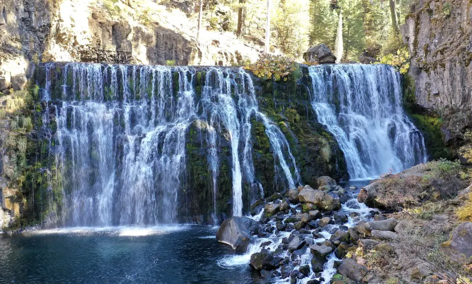
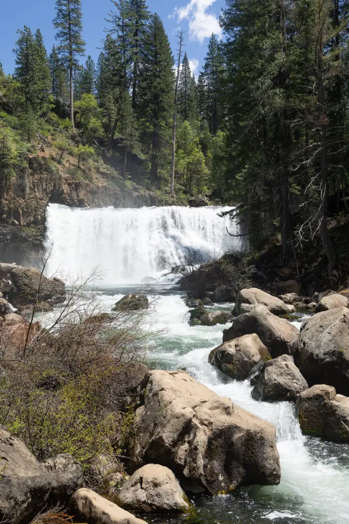
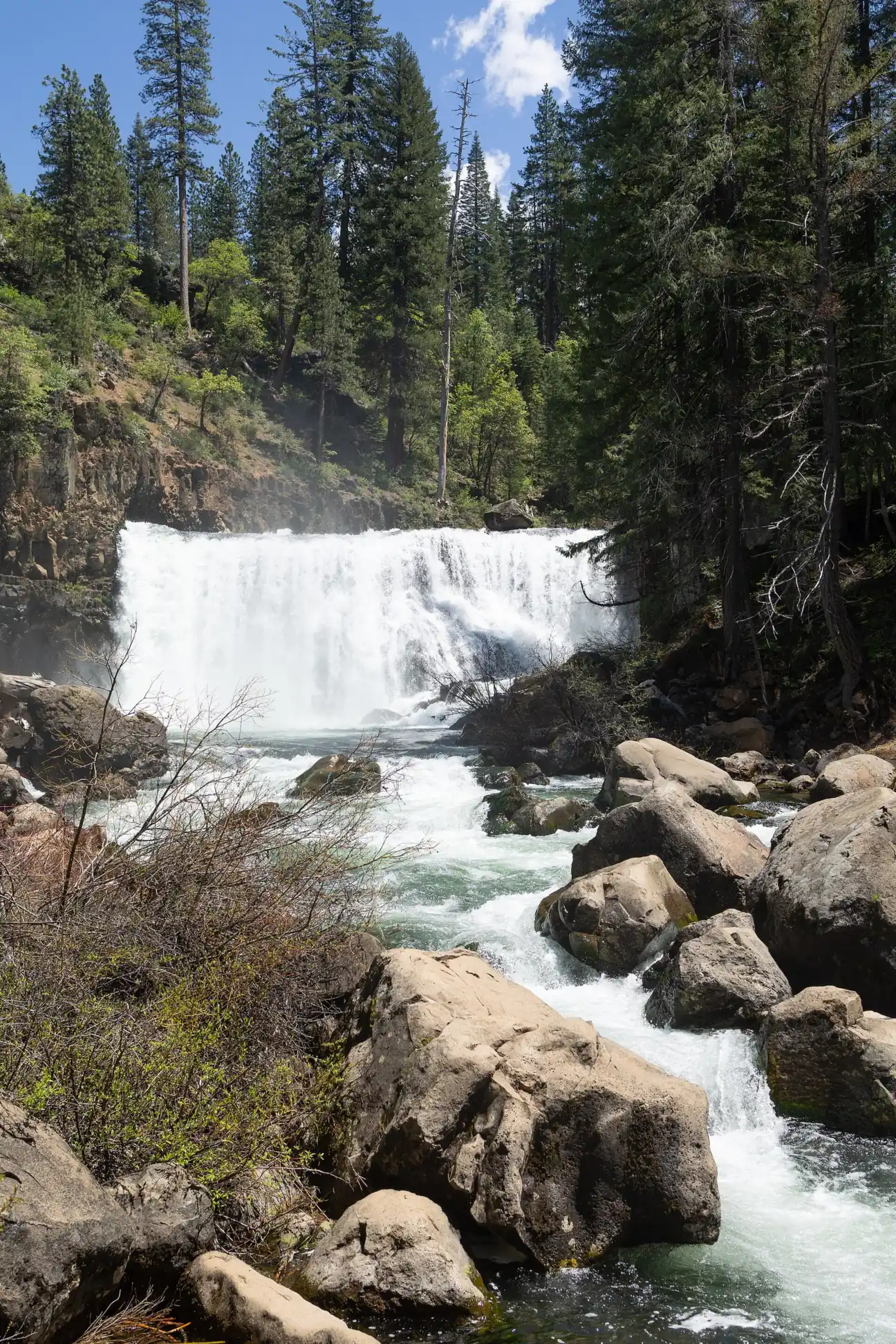
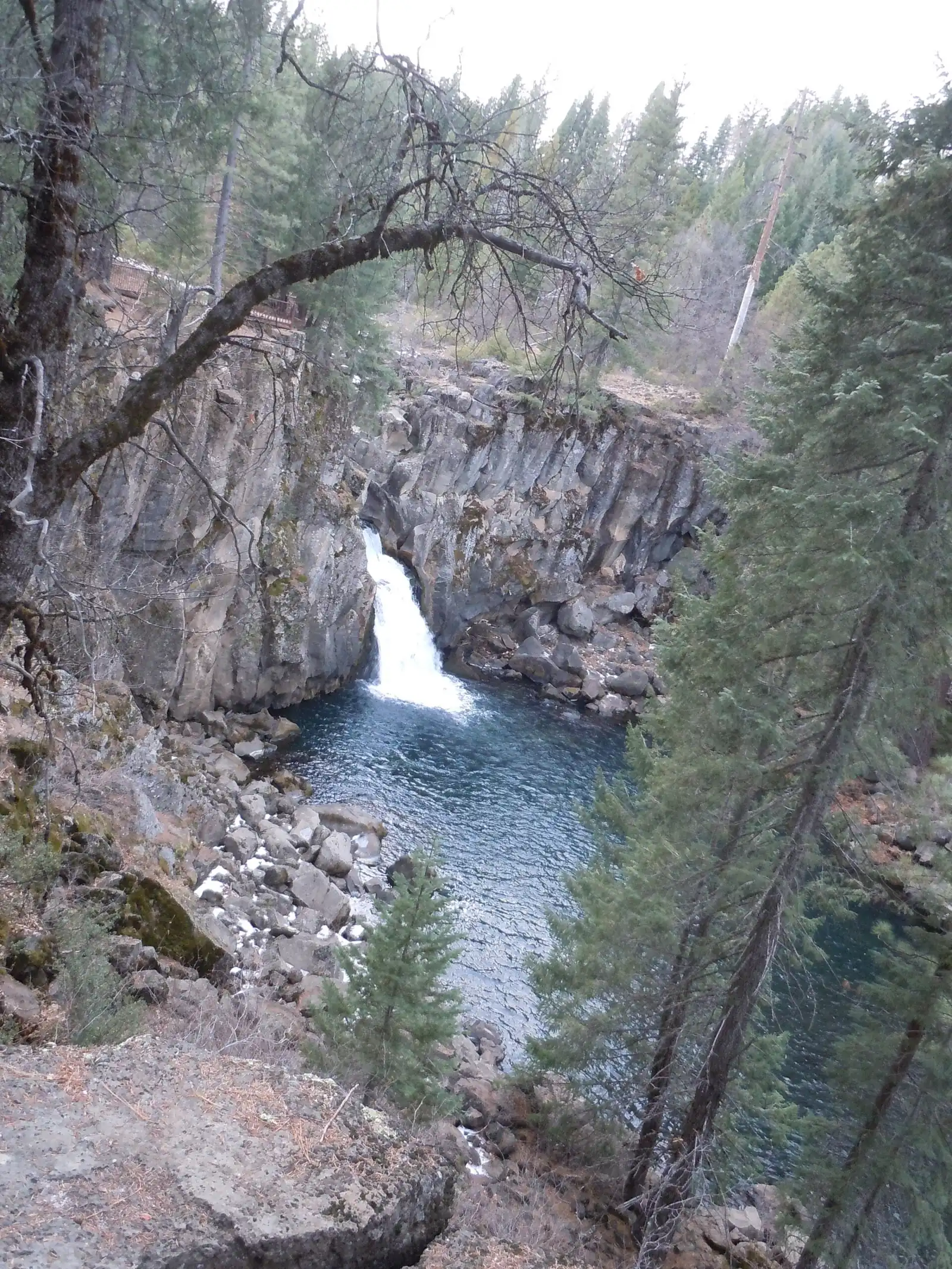
McCloud Falls is a set of three waterfalls, Lower, Middle and Upper, on the Upper McCloud River in Shasta-Trinity National Forest near McCloud. The U.S. Forest Service (USFS) says they range from 15 to 50 feet, with Middle Falls the highest. A riverside trail links all three, about 3.5 miles round trip from the Lower Falls Picnic Area. A paved loop road also reaches the Middle and Upper Falls overlooks.
About McCloud Falls
McCloud Falls is the common name for three waterfalls on the Upper McCloud River: Lower Falls, Middle Falls and Upper Falls. They are in Shasta-Trinity National Forest, in Siskiyou County near the town of McCloud.
USFS says the falls "vary in height from 15 to 50 feet." It names Middle Falls "the highest of the three waterfalls" but gives no height for each one. We list the range rather than guess at single figures.
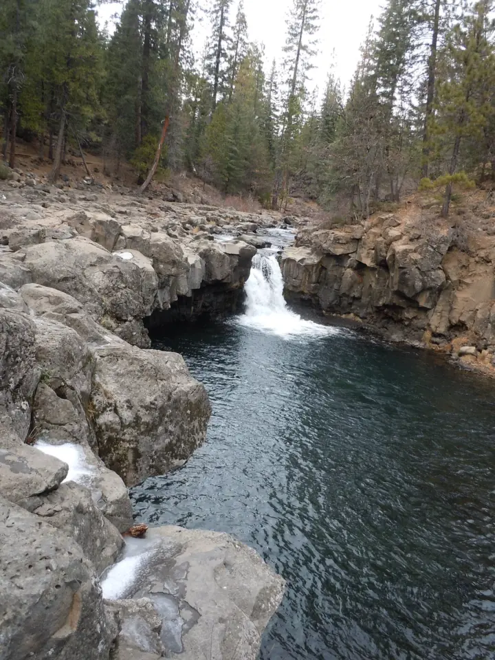
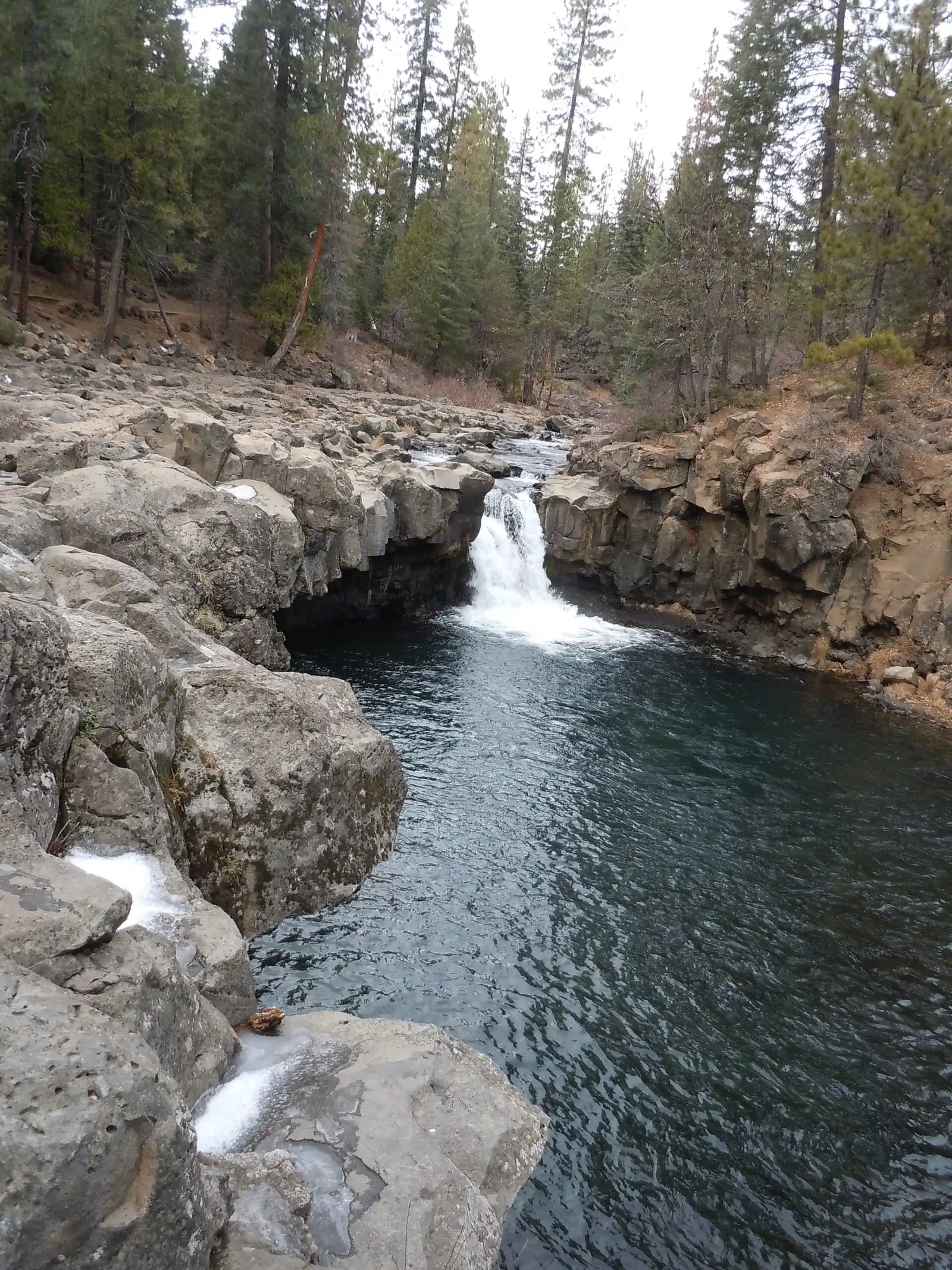
Fowlers Campground sits beside the river at 3,400 feet, per USFS. The Lower Falls Picnic Area is about half a mile downstream, and it overlooks Lower Falls. The picnic area is also the trailhead for the McCloud River Trail.
Three ways to see the falls
You can walk the whole trail, drive to each overlook, or mix the two. USFS says the McCloud River Loop is a paved road about 12 miles long. It reaches the Middle Falls and Upper Falls parking lots and overlooks "if you do not wish to hike the trail."
For non-hikers, USFS adds that the Middle Falls rim viewpoint can be reached by vehicle and an ADA trail. That trail starts at a parking area just north of the falls.
Getting there and parking
Start at the Lower Falls Picnic Area if you plan to hike. The USFS directions begin at the McCloud Ranger Station: turn left on State Route 89 and drive 5 miles to the Fowlers Campground/Lower Falls sign.
Turn right and go about 1 mile. At the fork, bear right into the Lower Falls Picnic Area. The map pin uses the USFS coordinates for the picnic area, which overlooks Lower Falls.
Parking
USFS says parking at the picnic area suits larger vehicles. The area has nine picnic sites with tables, a vault toilet and drinking water. It is day use only, and USFS lists "No fee."
Fowlers Campground has no overflow parking inside, per USFS; extra parking is outside the main gate. Horses and pack animals are not allowed in the campground.
To drive instead of hike, follow the McCloud River Loop to the Middle Falls and Upper Falls lots. USFS describes the loop as paved and about 12 miles long.
Winter access
The Mount Shasta Trail Association (MSTA), a local trail group, says the area is open year-round but you need snowshoes or skis in winter. It says the loop road is gated just south of Highway 89, with a winter trailhead parking area there.
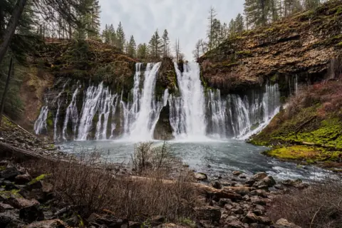
For another northern California falls, see Burney Falls. Our California waterfalls guide lists more falls across the state.
Camping at Fowlers Campground
Fowlers Campground is the USFS campground on the trail, about half a mile above the Lower Falls Picnic Area. On Nov 3, 2026 its page showed "Site Closed" (updated Oct 29, 2026), with no reason or reopening date.
USFS lists 39 sites with tables, fire rings, vault toilets and piped drinking water. Sites suit tents and mid-sized RVs or trailers, with a 14-day limit. Double sites hold up to 12 people.
Most sites are reserved on Recreation.gov, and only eight are first come, first served. We could not confirm the nightly fee or season dates on the USFS page, so check Recreation.gov.
Black bears visit the campground, USFS warns: "A fed bear is a dead bear." Store food in the bear box, as USFS asks.
Map and nearby falls
Map loads as you scroll. Open in OpenStreetMap
OpenPartly open / seasonalUnconfirmedClosedLarger map
McCloud River Trail to all three falls
The McCloud River Trail starts at the Lower Falls Picnic Area and follows the river upstream. USFS lays it out in segments, so you can turn back at any of the falls.
Lower Falls to Fowlers Camp: about 0.5 mile upstream, per USFS. MSTA says this section is paved and ADA compliant.
Fowlers Camp to Middle Falls: another 1.3 miles brings you to the base of Middle Falls, USFS says. The trail then climbs by switchbacks and stairs to the canyon rim, where an observation platform looks over Middle Falls.
Middle Falls to Upper Falls: the rim trail runs another half mile to the Upper Falls Overlook and day use area. From there it continues toward Algoma, which USFS puts 15 miles away.
MSTA says there is no sanctioned trail to the base of Upper Falls, so view it from the overlook.
How long is the round trip?
USFS gives two figures because they start in different places. From the Lower Falls Picnic Area, the round trip to see all three falls is about 3.5 miles. From Fowlers Campground, it is about 3 miles.
MSTA gives about 4 miles round trip with about 500 feet of gain, and rates the trail easy to moderate. We lead with the USFS figures.
When to visit
USFS gives no best month for flow. Plan around access instead: the picnic area is day use only, and USFS lists no hours for it.
Fowlers Campground was listed as closed on its USFS page, last updated Oct 29, 2026. The page gives no reason and no reopening date, so check before you plan an overnight trip.
In winter, MSTA says the loop road is gated near Highway 89 and you need snowshoes or skis. The USFS picnic area page showed "Site Open" on Nov 3, 2026, but it was last updated Aug 6, 2025.
| Height | 50 ft (upper end of range)Note: USFS says the three falls vary in height from 15 to 50 ft and names Middle Falls the highest; it gives no figure for each falls |
|---|---|
| Trail | About 3.5 mi round trip to see all three falls from the Lower Falls Picnic Area, or about 3 mi round trip from Fowlers Campground (USFS) |
| Difficulty | Easy to moderate, per the Mount Shasta Trail Association; USFS describes switchbacks and stairs up to the Middle Falls rim |
| Entry fee | No fee at the Lower Falls Picnic Area: "No fee. Day use only." (USFS). We found no USFS trail fee. |
| Permit / reservation | No permit is listed on the USFS picnic area page; most Fowlers Campground sites are reserved on Recreation.gov |
| Parking | Lower Falls Picnic Area; lots at Middle and Upper Falls |
| Hours / season | Day use only at the Lower Falls Picnic Area; USFS lists no hours |
| Dogs | No rule is listed on the USFS picnic area or campground pages we read |
| Swimming | USFS calls swimming a popular activity here and asks visitors to stay safe near the McCloud River; it posts no swim rule. The Mount Shasta Trail Association warns that submerged boulders make the Lower Falls jumping spots dangerous |
| Wheelchair / stroller | Partly: USFS lists the Lower Falls Picnic Area as ADA accessible; an ADA trail also reaches the Middle Falls rim viewpoint |
| Walk behind the falls | No |
| Restrooms | Vault toilet and drinking water at the Lower Falls Picnic Area (USFS) |
| Best time to visit | No official best month for flow |
| Managed by | U.S. Forest Service, Shasta-Trinity National Forest |
Safety and swimming
USFS has one current note on the picnic area page: "Please stay safe while near the McCloud River." It calls swimming and fishing popular activities near Fowlers. It does not post a swim rule or call the water safe.
MSTA warns that new submerged boulders have made the jumping spots at Lower Falls dangerous. It adds: "do NOT assume the water is deep enough to dive." Do not jump or dive from the rocks.
The climb to the Middle Falls rim uses switchbacks and stairs. Take them slowly, and keep to the trail and the overlooks.
Black bears visit Fowlers Campground, per USFS. Store food properly and never feed wildlife.
Our waterfall safety guide covers cold water, currents and slick rock in more detail.
Conditions change: confirm with the USFS Shasta-Trinity National Forest before you go.
Where to stay near McCloud Falls
Compare hotels, cabins and rentals close to the falls around McCloud.
See places to stay nearbyAffiliate link: we may earn a commission at no cost to you. Partners do not see or change our waterfall facts. Disclosure.
Photos
McCloud Falls FAQ
How long is the hike to McCloud Falls?
About 3.5 miles round trip to see all three falls from the Lower Falls Picnic Area, or about 3 miles from Fowlers Campground, per USFS. The Mount Shasta Trail Association gives about 4 miles with about 500 feet of gain.
Can you drive to McCloud Falls?
Yes. USFS says the McCloud River Loop, a paved road about 12 miles long, reaches the Middle Falls and Upper Falls parking lots and overlooks. The Lower Falls Picnic Area has its own lot. In winter, MSTA says the loop road is gated near Highway 89.
How hard is the McCloud Falls hike?
The Mount Shasta Trail Association rates it easy to moderate. The first half mile to Fowlers is paved, per MSTA. USFS describes switchbacks and stairs on the climb to the Middle Falls rim.
Is McCloud Falls worth it?
That depends on your plans, but the facts are simple: three falls on one river, linked by about 3.5 miles of round-trip trail (USFS). The overlooks can also be reached by car, and the picnic area and a Middle Falls viewpoint have ADA access.
Can you swim at McCloud Falls?
USFS calls swimming a popular activity on this stretch of river and asks visitors to stay safe near it. It posts no swim rule. MSTA warns that submerged boulders make the Lower Falls jumping spots dangerous, so do not jump or dive.
Is there camping near McCloud Falls?
Fowlers Campground, on the trail, has 39 sites, mostly reserved on Recreation.gov. Its USFS page showed "Site Closed" on Nov 3, 2026 (updated Oct 29, 2026), with no reason given. Black bears visit, so use the bear box.
Is there a fee at McCloud Falls?
Not at the Lower Falls Picnic Area: USFS lists "No fee. Day use only." We found no USFS trail fee. We could not confirm the camping fee at Fowlers Campground.
Are dogs allowed at McCloud Falls?
The USFS pages we read for the picnic area and Fowlers Campground give no dog rule. Ask the Shasta-Trinity National Forest before you bring a dog.
Nearby waterfalls


More waterfalls to explore
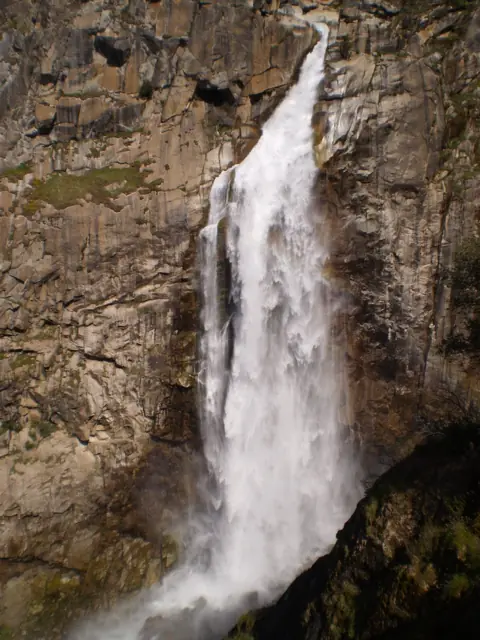 Feather FallsCalifornia · 117 mi straight-lineOpen410FT
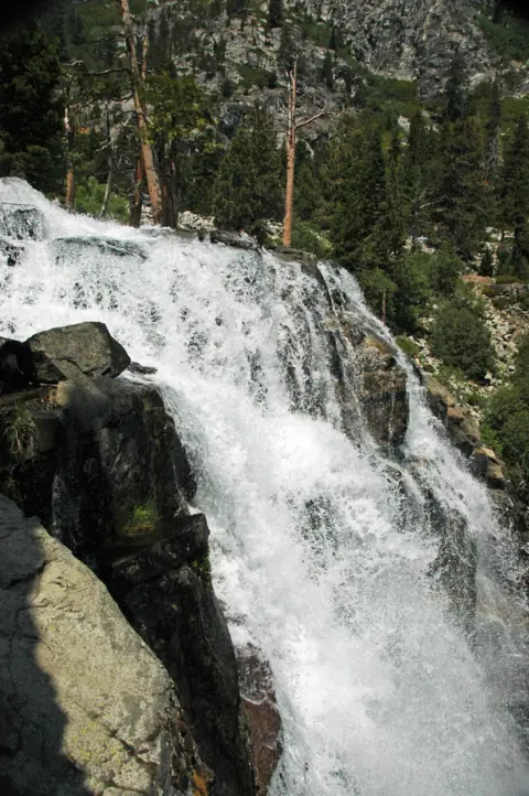 Eagle FallsCalifornia · 188 mi straight-lineSeasonal
On these lists: Free waterfalls · Waterfalls you can swim in
Sources
- USDA Forest Service: Lower Falls Picnic Area (Site Open, updated Aug 6, 2025; read Nov 3, 2026)
- USDA Forest Service: Fowlers Campground (Site Closed, updated Oct 29, 2026; read Nov 3, 2026)
- Recreation.gov: Fowlers Campground
- Mount Shasta Trail Association: McCloud River Falls trail (length, gain, winter gate, swim and jump warnings)
- FCC Census Block API: county lookup near Middle Falls
Last verified Nov 3, 2026 by The Waterfall Guide editorial team. Conditions change: confirm with U.S. Forest Service, Shasta-Trinity National Forest before you go. Spotted something out of date? Report a correction.