Waterfalls near a city
Waterfalls near Hot Springs, Arkansas
The nearest waterfall to Hot Springs in this guide is Falls Creek Falls, the seasonal waterfall at Lake Catherine State Park. Its trailhead is 8.8 straight-line miles away by our math.
6 waterfalls within 100 miles of Hot Springs
Distances are straight-line miles, by our math, from the US Census internal point of Hot Springs, AR, not driving distances, so check a route before you go. Each card links to a full guide with fees, parking and current status.
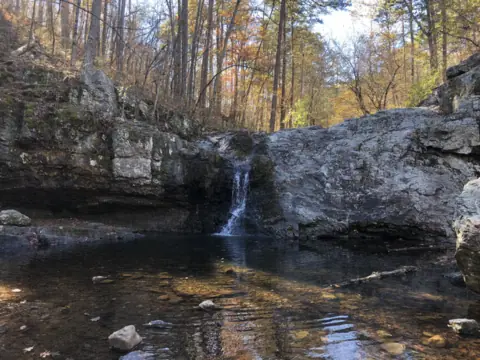
A seasonal waterfall on Falls Creek in Lake Catherine State Park, on the 2-mile Falls Branch Trail near Hot Springs.
Falls Creek Falls9 mi straight-line · Moderate (Arkansas State Parks)Open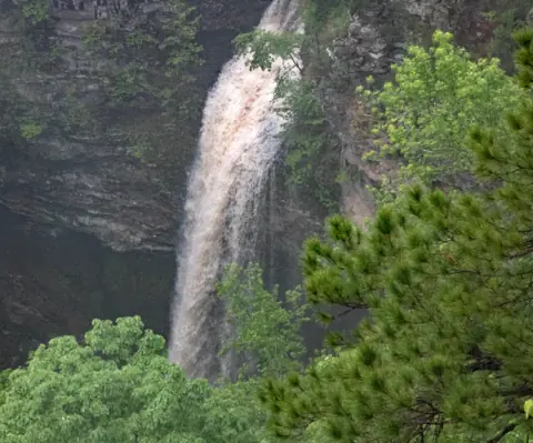
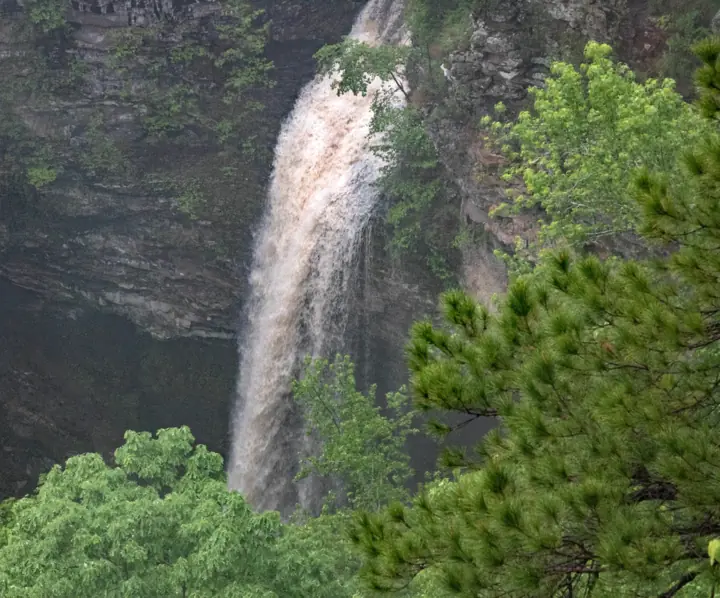
A 90-foot waterfall at the end of a 2-mile round-trip canyon hike from Mather Lodge.
Cedar Falls44 mi straight-line · Moderate / Strenuous (both listed)Open90FT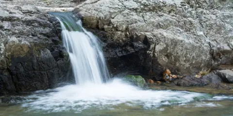
A stairstep falls on a wild and scenic river in the Ouachita National Forest, with a picnic area and overlook trail.
Little Missouri Falls50 mi straight-line · No official ratingOpen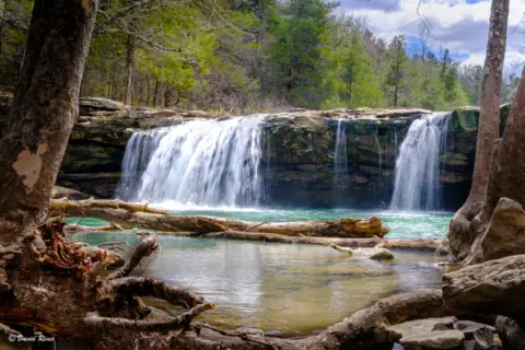
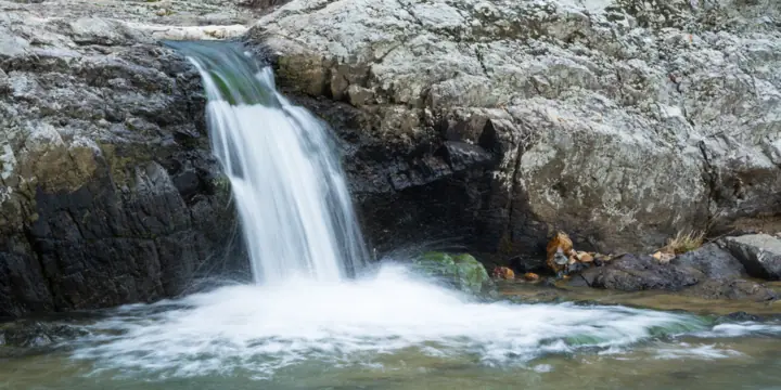
A wide ledge falls beside gravel Forest Service Road 1205 near Ben Hur, viewable from the road.
Falling Water Falls85 mi straight-line · Easy (Arkansas Tourism)Open10FT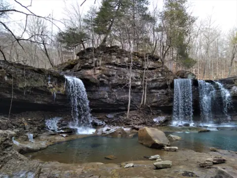
A double waterfall in the Richland Creek Wilderness, reached over rough gravel roads with no developed trail.
Twin Falls91 mi straight-line · No official ratingOpen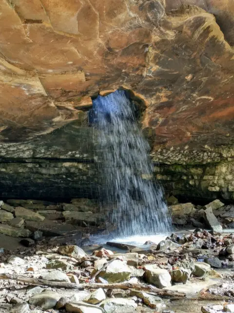
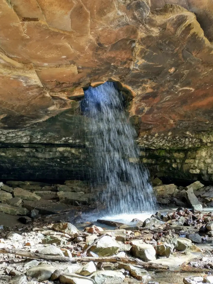
A waterfall that pours through a hole in the roof of a bluff shelter, reached by an unmarked path in Ozark National Forest.
Glory Hole Falls94 mi straight-line · Moderate (our reading)Open
Map of waterfalls near Hot Springs
Map loads as you scroll. Open in OpenStreetMap
OpenPartly open / seasonalUnconfirmedClosedLarger map
Compare the waterfalls near Hot Springs
| Waterfall | Distance | Status | State | Height | Trail | Difficulty | Fee / permit | Swimming |
|---|---|---|---|---|---|---|---|---|
| Falls Creek Falls | 9 mi | Open | AR | Not listed | 2 mi Falls Branch Trail | Moderate (Arkansas State Parks) | No entrance fee listed (Arkansas State Parks) | No official swimming rule for the falls |
| Cedar Falls | 44 mi | Open | AR | 90 ft | 2 mi round trip from Mather Lodge, 1 1/2 to 2 hours | Moderate / Strenuous (both listed) | No entry fee listed | No rule listed |
| Little Missouri Falls | 50 mi | Open | AR | Not listed | Short trail to an overlook (USFS) | No official rating | No fee (USFS) | No official swimming rule found |
| Falling Water Falls | 85 mi | Open | AR | 10 ft | Viewable from the road (Arkansas Tourism) | Easy (Arkansas Tourism) | No fee listed | No official swimming rule found |
| Twin Falls | 91 mi | Open | AR | Not listed | No developed trail (USFS) | No official rating | No day-use fee listed; campground $10 (USFS) | No official swimming rule found |
| Glory Hole Falls | 94 mi | Open | AR | Not listed | About 2 mi round trip; unmarked final path (USFS, archived) | Moderate (our reading) | No fee listed | No official rule found |
Where to stay near Hot Springs
Base yourself in Hot Springs, AR for a waterfall day. Open the map to compare hotels, cabins and rentals, or switch to tours and activities.
Or open the full stays map in a new tab
Affiliate links and map: we may earn a commission at no cost to you. The map loads from Stay22 only when you open it. Partners do not see or change our waterfall facts. Disclosure.
How the list breaks down
We measured every distance on this page in a straight line from the Census Bureau's internal point for Hot Springs, by our math. Road miles will be longer. Only falls we have published are counted, out to 100 miles.
Two falls sit about 44 to 50 miles out. Cedar Falls at Petit Jean State Park is 43.8 miles away, and Little Missouri Falls in the Ouachita National Forest is 49.7.
Three more are 85 to 94 miles north, in or near the Ozark-St. Francis National Forest. Falling Water Falls is 85.4 miles away, Twin Falls is 91.0, and Glory Hole Falls is 94.1.
For more falls, see our Arkansas waterfalls guide.
Falls Branch Trail at Lake Catherine: closest falls to Hot Springs
Falls Creek Falls is on the Falls Branch Trail, a National Recreation Trail in Lake Catherine State Park. Arkansas State Parks lists the trail as 2 miles, moderate, taking 1 1/2 to 2 hours. An Arkansas Tourism article puts the falls about a quarter mile from the trailhead, but the trail page gives no such distance.
The park does not name the falls; photo titles call it Falls Creek Falls. The park calls it "a seasonal scenic waterfall," so flow can be low at times. The trail crosses Little Canyon Creek several times. No entrance fee is listed on the park pages we read.
As far as we can tell (Nov 13, 2026), the park and trail pages listed no closure or alert. The park phone is 501-844-4176.
Cedar Falls and Little Missouri Falls
Cedar Falls drops 90 feet, per Arkansas State Parks, which calls it one of the tallest continuously flowing waterfalls in the state. The Cedar Falls Trail starts behind Mather Lodge and is 2 miles round trip.
As far as we can tell (Nov 8, 2026), the Cedar Falls Trail was not on the park's closure notice. No entry fee is listed on the park pages we read.
Little Missouri Falls is a picnic area with a trail to a waterfall overlook, per the Forest Service. Its trailhead page says "No fee," and the site is open all year with no water or electricity.
As far as we can tell (Nov 11, 2026), the Forest Service lists it as "Site Open," and no Ouachita alert named it.
Falling Water, Twin Falls and Glory Hole to the north
Falling Water Falls sits beside gravel Forest Service Road 1205 near Ben Hur. Arkansas Tourism gives it a 10-foot drop and says it can be viewed from the road.
Twin Falls is in the Richland Creek Wilderness, reached from Richland Creek Campground farther up the same road. The Forest Service says the wilderness has no developed trails, only old logging roads. Its March 2025 page warns the road is prone to landslides.
Its exact spot is not official, so the 91.0-mile distance uses an approximate pin. Call the Ozark-St. Francis office at (501) 802-0287 to ask about the road now.
Glory Hole Falls pours through a hole in the roof of a bluff shelter. An archived 2016 Forest Service page puts the walk at about two miles round trip, with an unmarked final path. The Forest Service no longer has a current page for the falls.
As far as we can tell, no Ozark-St. Francis alert named Falling Water or Twin Falls on Nov 13, 2026, or Glory Hole on Nov 8, 2026.
Waterfalls near Hot Springs: FAQ
What is the closest waterfall to Hot Springs?
Falls Creek Falls at Lake Catherine State Park is the closest in this guide. Its trailhead is 8.8 straight-line miles from Hot Springs' Census point, by our math. This list covers only falls we have published.
Is there a waterfall in Hot Springs, Arkansas?
Not inside the city in this guide. The nearest is the seasonal waterfall at Lake Catherine State Park, 8.8 straight-line miles away by our math.
Which waterfalls near Hot Springs are free?
The Forest Service lists no fee at Little Missouri Falls. No entrance fee is listed for Lake Catherine or Cedar Falls on the park pages we read, so confirm with each park. We found no fee listed for Falling Water Falls, Twin Falls or Glory Hole. The Forest Service lists the Richland Creek campground at $10.
Which waterfall near Hot Springs is the easiest to see?
Falling Water Falls. Arkansas Tourism rates it easy and says it can be viewed from Forest Service Road 1205.
Do waterfalls near Hot Springs flow all year?
Not all of them. Arkansas State Parks calls the Lake Catherine falls seasonal. It calls Cedar Falls one of the tallest continuously flowing waterfalls in the state. An archived 2016 Forest Service page says Glory Hole is best in spring and early summer.
Sources
Facts for each waterfall come from its own guide, where every source is listed. The city sources are below.
- Arkansas State Parks: Falls Branch Trail, National Recreation Trail (read Nov 13, 2026)
- Arkansas State Parks: Lake Catherine State Park (read Nov 13, 2026)
- Arkansas State Parks: Petit Jean State Park (trail notice; read Nov 8, 2026)
- Arkansas State Parks: Cedar Falls Trail (read Nov 8, 2026)
- USDA Forest Service: Little Missouri Falls Trailhead (updated Mar 13, 2026; read Nov 11, 2026)
- USDA Forest Service: Ouachita National Forest alerts (read Nov 11, 2026)
- Arkansas Tourism: Waterfalls (Falling Water Falls; read Nov 13, 2026)
- USDA Forest Service: Richland Creek Wilderness (updated Mar 28, 2025; read Nov 13, 2026)
- USDA Forest Service: The Glory Hole Waterfall (archived page, Wayback Machine capture of May 13, 2016)
- USDA Forest Service: Ozark-St. Francis alerts (read Nov 13, 2026)
- US Census Bureau TIGERweb: Hot Springs city, GEOID 0533400, internal point (read Nov 13, 2026)
- Arkansas Tourism: Finding Arkansas' waterfalls (no date shown; read Nov 13, 2026)
- USDA Forest Service: Ozark-St. Francis Recreation Schedule and Fees 2026 (file updated Jan 5, 2026)
State guides: Arkansas waterfalls. More cities.
Photos: amanderson2, CC BY 2.0; ksblack99, Public Domain Mark 1.0; Steve Harbula, CC BY 2.0. Photo credits